Block
BlockFrom the record
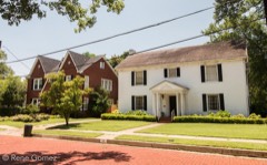
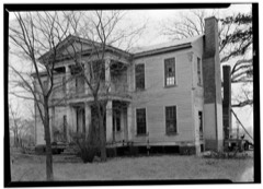
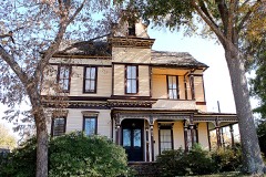
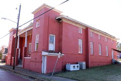
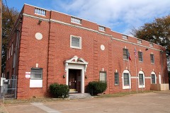
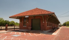
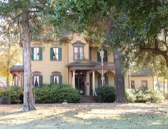
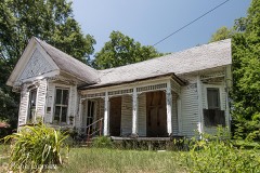
37 National Register listings published here.
Sources: the National Register database, National Park Service
74 topographic sheets cover 50 settlements here, and 37 properties are on the National Register of Historic Places.
37 National Register listings published here.
Sources: the National Register database, National Park Service
Every property in this county listed on the National Register of Historic Places, with the year it was listed and the federal nomination document.
Drawn when these were printed as single large sheets: the town seen from the air, and the county divided into its farms with every owner named. Each opens the original at the Library of Congress.

Selected from the Digital Public Library of America's 63 image records catalogued for this county. Every one shown here carries a public-domain status or a licence that permits reuse on a site that carries advertising; non-commercial, share-alike and restricted images are excluded. The selection is spread across the county's towns (at most eight per town), so no single institution's bulk upload crowds out the rest. Each opens the holding library's record, and the complete set at the Digital Public Library of America is one click away.






























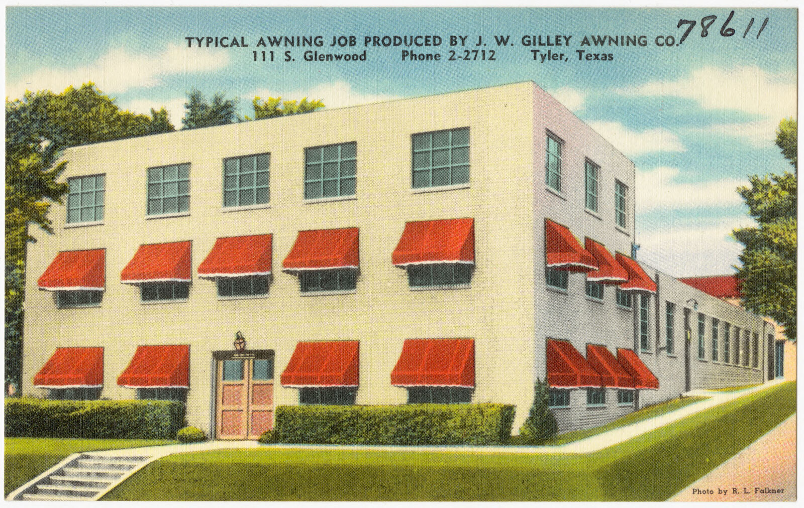





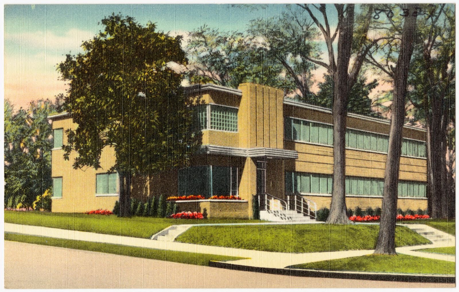


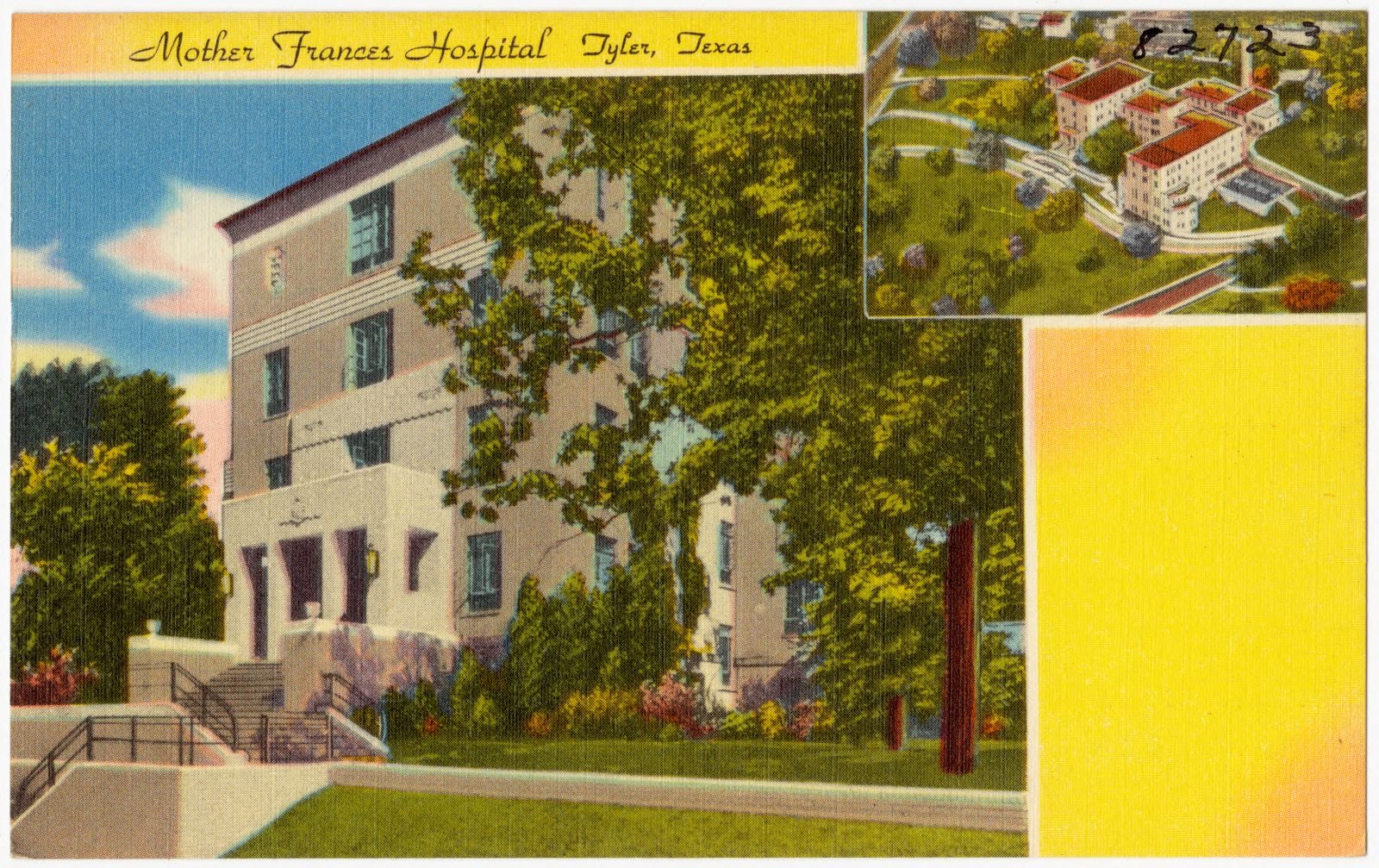




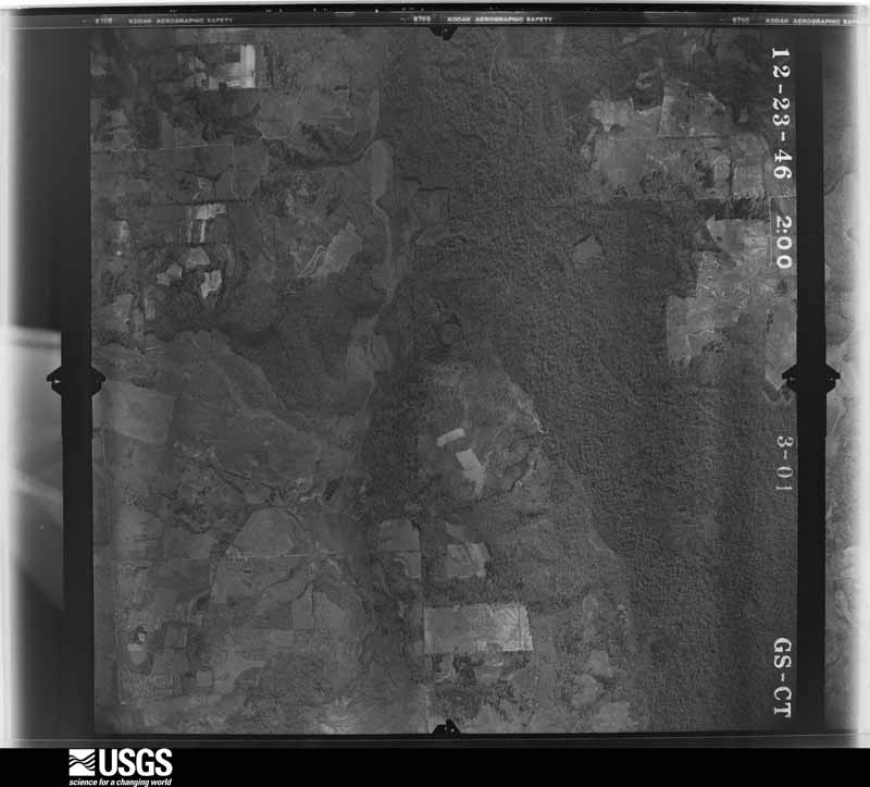
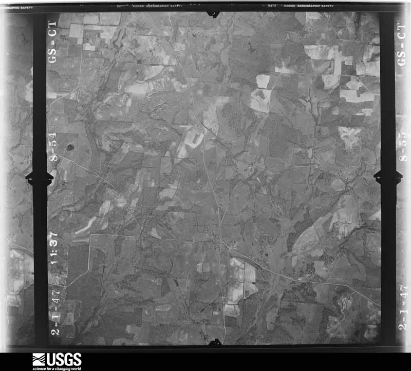
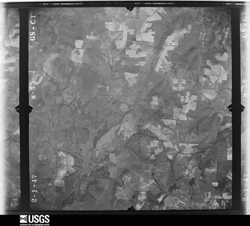
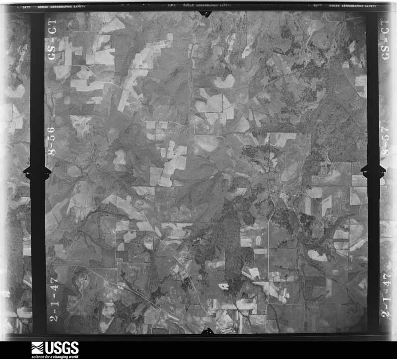
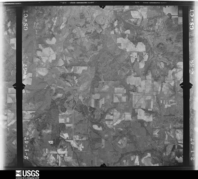
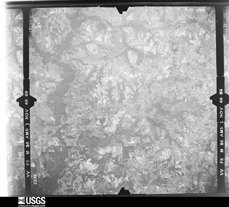
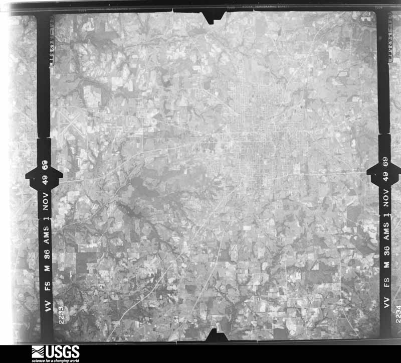
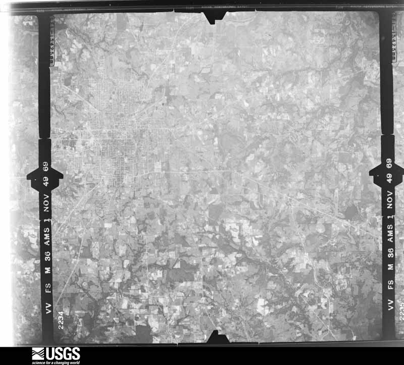
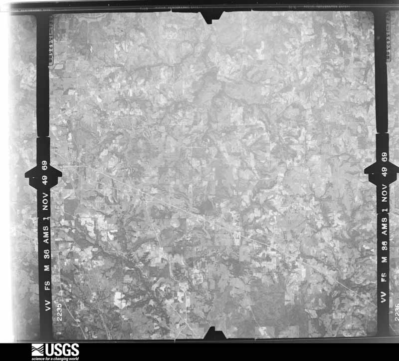
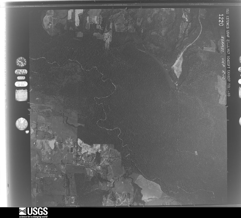
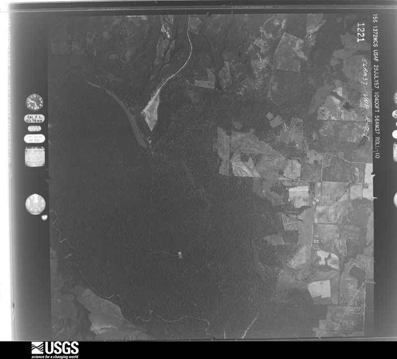
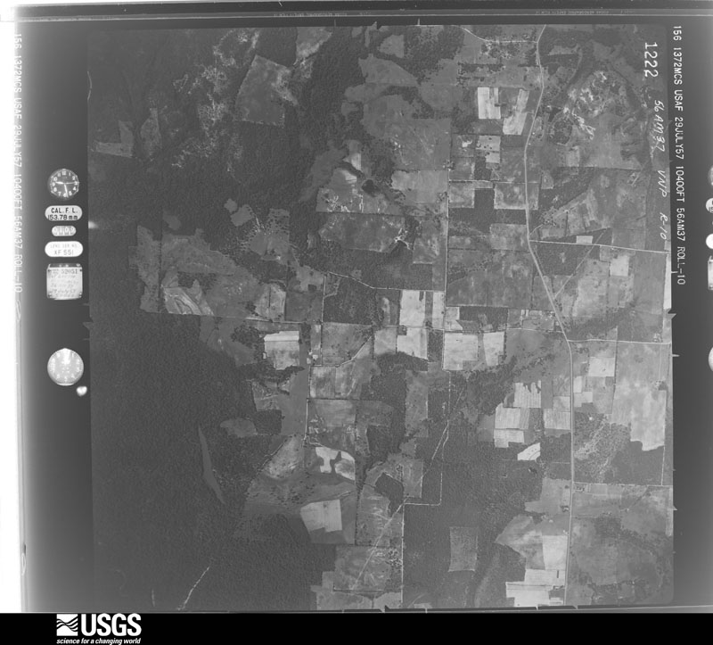
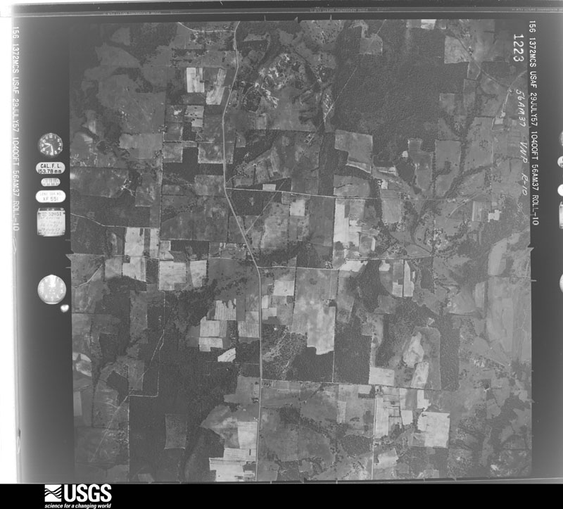
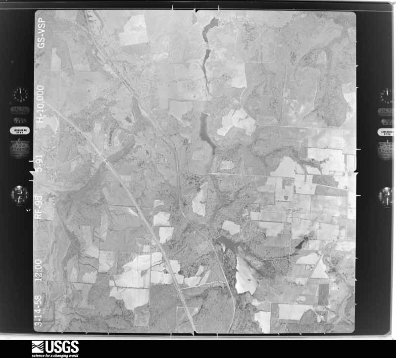
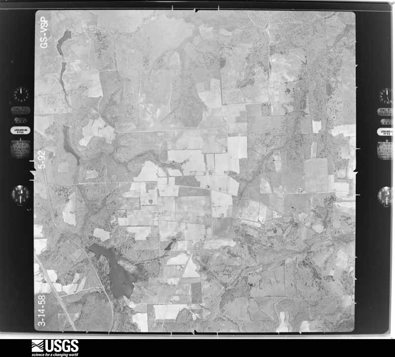
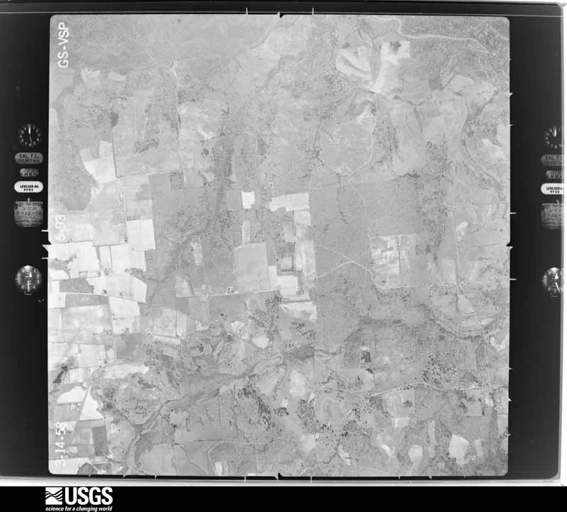
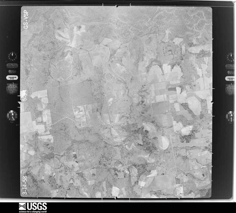
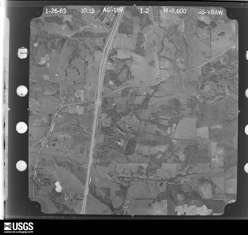
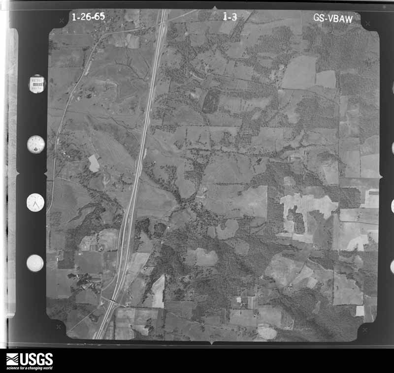
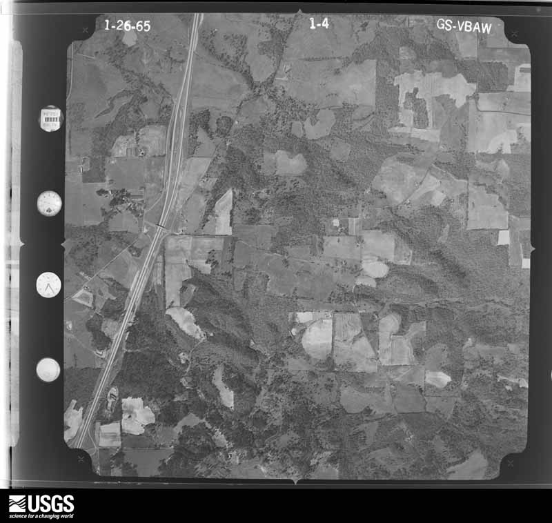
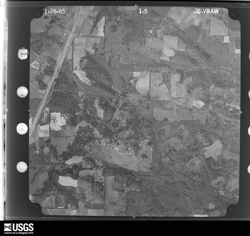
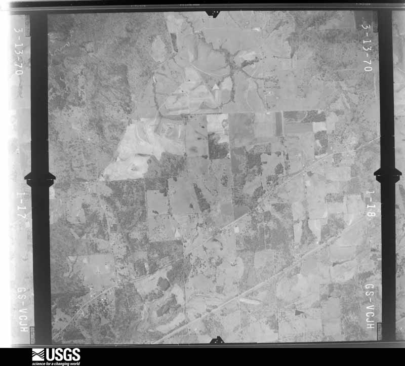
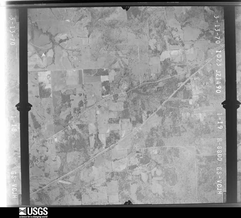
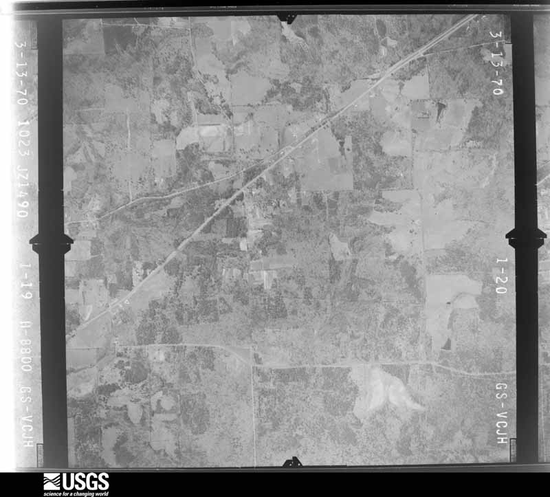
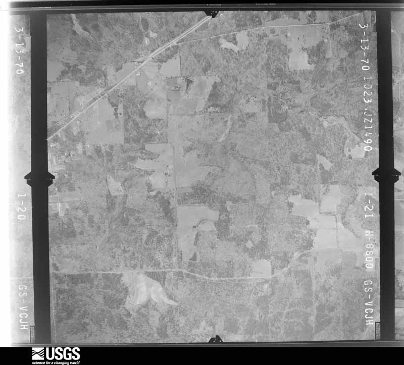
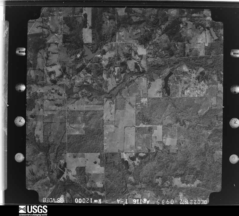
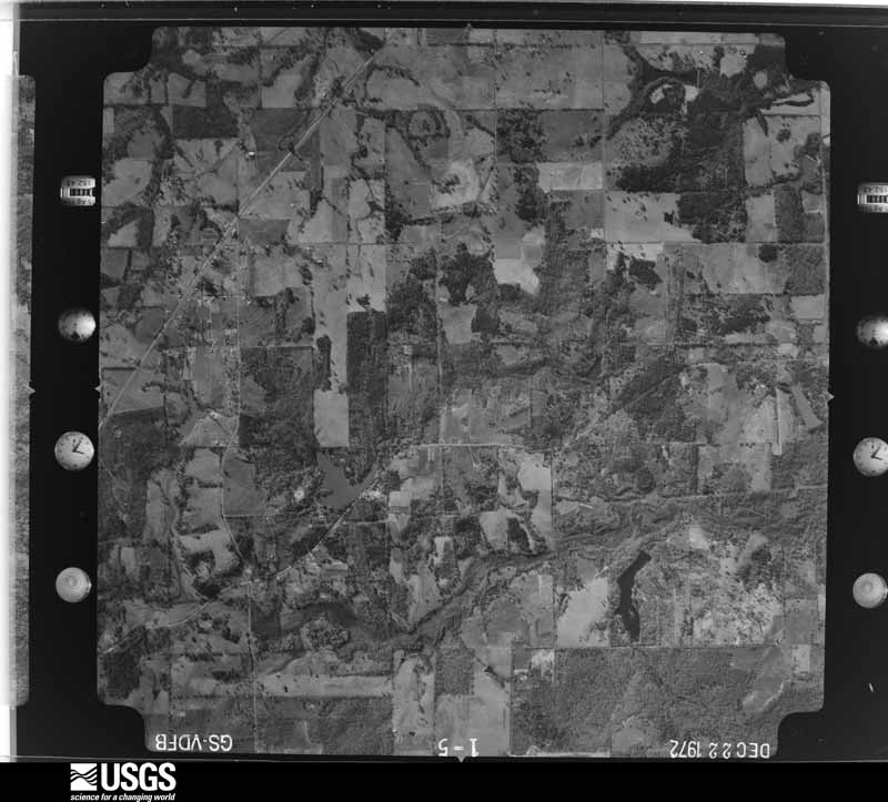
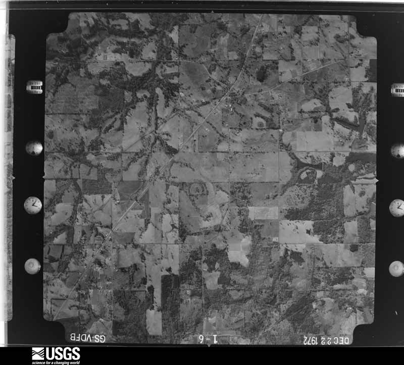
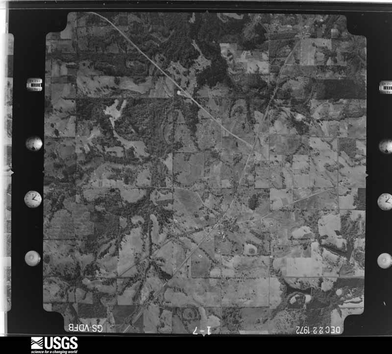
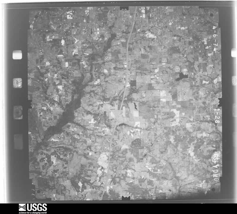
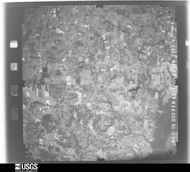
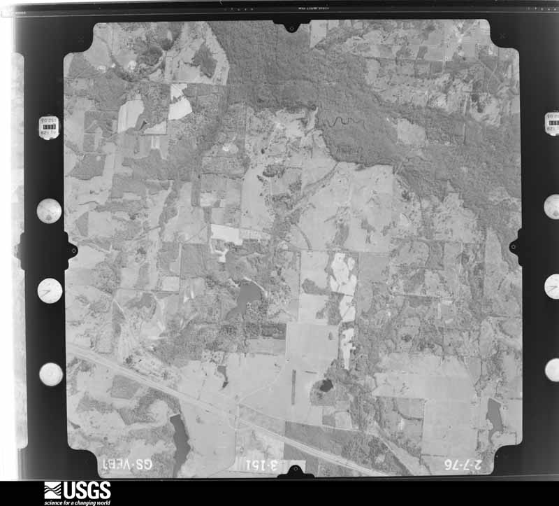
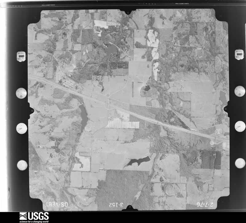
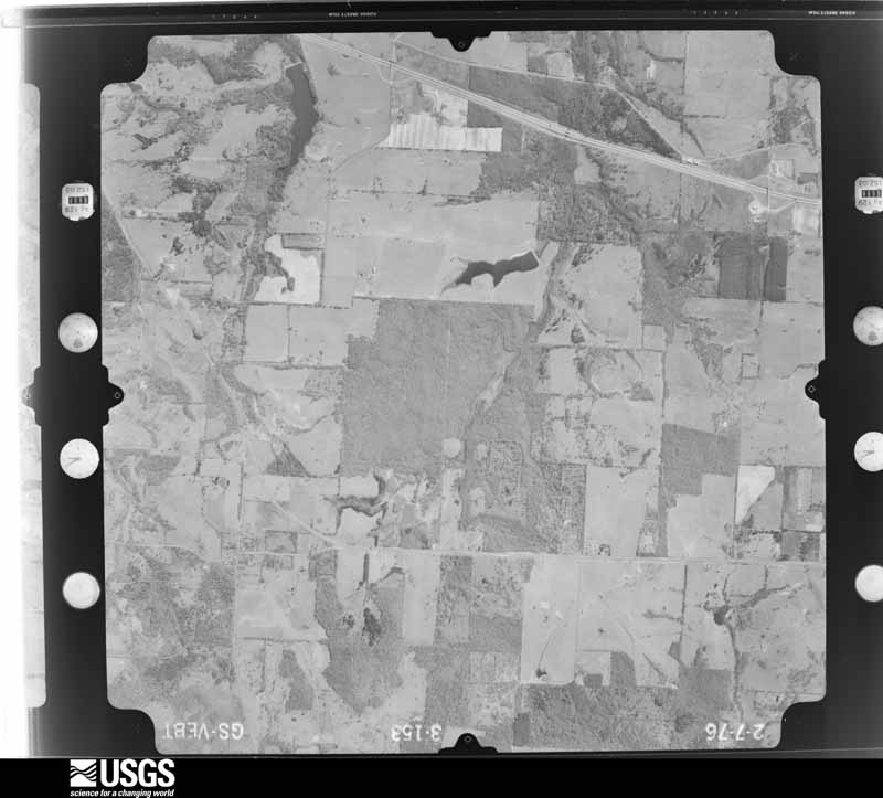
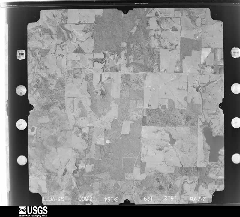
Flown by the U.S. Geological Survey between 1937 and 1989, the Aerial Photo Single Frames collection is the definitive mid-century view of the land: fields, roads and rivers as the camera saw them. The Survey holds 1,806 frames inside the rectangle that bounds this county; the 48 frames below were taken over the county itself, chosen across the decades of flights (at most four a year from that rectangle), so one flight cannot crowd out the rest. The full set is free to browse and download at EarthExplorer under the dataset Aerial Photo Single Frames.













The thermometers that kept this county's weather, as the federal records hold them. The extremes below are measured values from those records, not estimates.
Who lived here in 1950, one enumeration district at a time, as the Census Bureau described each district. Each row opens its official National Archives result, with Population Schedules and ED Maps available there.
Every wildfire the federal occurrence database records inside this county: 3,349 of them, burning about 21,015 acres. 69 started naturally and 207 were recorded as arson. Each settlement page carries the fires within five miles of it.
| Reported cause | Fires |
|---|---|
| Debris and open burning | 1993 |
| Missing data/not specified/undetermined | 688 |
| Arson/incendiarism | 207 |
| Equipment and vehicle use | 141 |
| Smoking | 73 |
| Power generation/transmission/distribution | 71 |
| Natural | 69 |
| Misuse of fire by a minor | 52 |
| Recreation and ceremony | 41 |
| Railroad operations and maintenance | 12 |
| Other causes | 1 |
| Fireworks | 1 |
The five largest, by the area the report gives. Three of them were set deliberately.
| Date | Cause | Size | Reported by | Name on the report |
|---|---|---|---|---|
| 4 August 2020 | Debris and open burning | 1,000 acres | Texas A & M Forest Service | SMITH 17:48 |
| 7 September 2011 | Arson/incendiarism | 538 acres | Texas A & M Forest Service | HENDERSON - 526 |
| 5 September 2011 | Missing data/not specified/undetermined | 400 acres | Texas A & M Forest Service | HENDERSON - 508 |
| 8 September 2013 | Equipment and vehicle use | 350 acres | Texas A & M Forest Service | JACKSON COMPLEX |
| 13 January 1996 | Arson/incendiarism | 340 acres | Texas A & M Forest Service | not named |
| 1 January 2008 | Missing data/not specified/undetermined | 278 acres | Texas A & M Forest Service | HENDERSON - 006 |
| 13 February 1996 | Arson/incendiarism | 272 acres | Texas A & M Forest Service | not named |
| 23 March 1996 | Missing data/not specified/undetermined | 250 acres | Texas A & M Forest Service | not named |
Every settlement page carries the fires within five miles of it - see the settlement index below.
The NOAA Storm Events Database holds 1,051 reports for this county, causing 3 deaths, 37 injuries and about $36,295,900 in recorded property damage. Each settlement page carries the reports that name it.
| Kind of event | Reports |
|---|---|
| Thunderstorm Wind | 410 |
| Hail | 368 |
| Flash Flood | 152 |
| Tornado | 76 |
| Lightning | 24 |
| Flood | 13 |
| Funnel Cloud | 6 |
| Heavy Rain | 2 |
The most serious of them, by death, then injury, then recorded damage. The accounts are quoted exactly as the forecast office filed them.
| When | Event | Place named | Harm | What the report says |
|---|---|---|---|---|
| November 1987 | Tornado (F3) | not stated | 2 killed, 6 hurt, $25,000,000 | no account filed |
| April 2022 | Thunderstorm Wind | Whitehouse | 1 killed | A downburst affected much of the southern and eastern sections of the city of Whitehouse, resulting in numerous trees being snapped and uprooted along its path. The majority of the more significant damage occurred in an east-southeasterly direction, which began in the Willows subdivision just west of Willingham Road, where several small Bradford pear trees were snapped, and small areas of shingles were ripped from the roofs of a couple of homes with winds estimated in the range of 70-75 mph. The winds from this downburst intensified as it crossed Willingham Road, affecting several streets along and to the west of Highway 110. Here, numerous hardwood trees and large limbs were snapped and uprooted, with winds consistent of 90-95 mph. Trees fell on at least 4 homes in this area. The maximum winds near 100 mph from this downburst were estimated as it impacted the Whitehouse Mobile Home and RV Park, where multiple large trees were snapped and uprooted. Unfortunately, one fatality occurred here as a large pine tree fell onto an RV on Barbara Drive, killing a 71 year-old male sleeping inside. Additional large hardwood trees were downed along and to the north of Hagan Road, Railroad Avenue, before weakening as it entered the Waterton subdivision on East Main Street. It should be noted that wind damage was noted across much of Smith County and East Texas from these severe thunderstorms. |
| April 1957 | Tornado (F2) | not stated | 6 hurt, $2,500,000 | no account filed |
| February 1950 | Tornado (F2) | not stated | 5 hurt, $250,000 | no account filed |
| July 2021 | Flash Flood | Wood Spgs | 4 hurt | Texas DPS reported that the Allen Branch Creek overpass at I-20 west near Lindale was eroded due to flooding, causing a large pine tree to fall on I-20 and resulting in 5 vehicles and a gooseneck trailer wrecking. Four injuries were reported, but none were life-threatening. |
| April 2016 | Tornado (EF2) | Lindale | 2 hurt, $300,000 | A long track multi-vortex EF-2 tornado with peak winds estimated between 120-125 mph touched down just east of Lindale near the intersection of County Road 499 and County Road 4100. The tornado traveled northeast resulting in extensive damage to trees along its path. The tornado was strongest between Farm To Market Road 16 and Farm To Market Road 2710, where a cell phone tower, a house, and two mobile homes sustained major damage from estimated EF-2 tornado winds. This tornado remained on the ground as it crossed a heavily wooded area and the Sabine River into Southeast Wood County. |
| March 1979 | Tornado (F2) | not stated | 2 hurt, $25,000 | no account filed |
| July 2022 | Thunderstorm Wind | Omen | 2 hurt | Numerous trees were downed in the East Lake Woods Subdivision along the eastern shore of Lake Tyler East and a large tree also fell through a mobile home nearby along Highway 64, injuring a female and baby in the home. |
| November 1997 | Lightning | Tyler | 2 hurt | Two men were transported to the hospital after being shocked by a lightning strike outside a Tyler store (The Christmas Store and Partly Place at 1910 Roseland Blvd, part of Bergfeld Center). Both men were treated and released at East Texas Medical Center. Neither man was seriously injured. Witnesses said they saw lightning "skipping around the parking lot" at the time of the incident. |
| April 1979 | Tornado (F2) | not stated | 1 hurt, $250,000 | no account filed |
| January 1973 | Tornado (F2) | not stated | 1 hurt, $25,000 | no account filed |
| June 2004 | Thunderstorm Wind | Tyler | 1 hurt, $20,000 | A man was injured when a tree fell across his truck at CR 2298 and FM 850. |
| July 2011 | Thunderstorm Wind | Browning | 1 hurt, $10,000 | One person was injured after a tree fell on top of his pickup truck he was driving. The incident occurred on FM 2767 near Barber Road. |
| February 1996 | Tornado (F0) | Tyler | 1 hurt, $8,000 | no account filed |
| June 2010 | Flash Flood | Swan | 1 hurt, $3,000 | Excessive heavy rainfall opened up a sinkhole along County Road 1130 that was nearly 20 foot deep. A vehicle was seen lodged halfway inside the sinkhole. Thee was in injury reported at the scene. |
| December 2015 | Flash Flood | Thedford | 1 hurt | A high water rescue was reported 2 miles south of Lindale in the Wood Springs community. |
| February 1979 | Tornado (F3) | not stated | 1 hurt | no account filed |
| April 2026 | Tornado (EF1) | Lindale | $500,000 | A mini-supercell developed and produced a short-lived, small, but intense EF1 tornado east and northeast of Lindale, TX. The tornado began in a field just south of FM Road 16 West, downing some small tree limbs and snapping the trunk of a pecan tree. At this same location, significant roof damage, consisting of shingle and roof decking loss, occurred to a single-family residence, resulting in a rating of EF1. The tornado downed a few more tree limbs before crossing FM Road 16 West. A couple of homes in the Woodcrest subdivision sustained minor shingle damage. Home security cameras in this|subdivision recorded the tornado's passage. The tornado continued northeast and crossed Legion Hills Road. In this location, a second single-family home sustained significant roof damage corresponding to a rating of EF1. A large oak tree was also uprooted on this property. The tornado continued northeast sporadically downing large tree limbs. A few more tree limbs were downed before the tornado lifted near the intersection of FM Road 2710 and County Road 4107. The tornado had estimated maximum wind speeds of 97 mph, a path length of approximately 2.5 miles, and a path width of 32 yards. |
| April 2016 | Tornado (EF2) | Thedford | $500,000 | An EF-2 tornado with winds estimated between 110-115 mph touched down just west of Highway 69 near the intersection of Mayor Street. As it crossed Highway 69, the tornado strengthened resulting in major damage to the Hibbett Sports and Dollar Tree stores on the east side of Highway 69. The tornado moved northeast resulting in tree and roof damage in subdivisions between Highway 69 and County Road 431. The tornado lifted near the intersection of County Road 431 and Pierce Street. |
| April 2007 | Thunderstorm Wind | Winona | $500,000 | Numerous trees and power lines were downed. Trees were reported down on several homes and at least 1 vehicle. One resident was temporarily trapped by debris from a tree falling across her home but she was uninjured. |
| July 1994 | Thunderstorm Wind | Lindale | $500,000 | Three mobile homes were blown over, 15 homes were damaged, 10 barns were damaged or destroyed, and power lines were blown down. |
| January 1993 | Tornado | not stated | $500,000 | Numerous trees and power lines were downed. One mobile home and three houses were near Sand Flat. |
| June 2011 | Thunderstorm Wind | Sand Flat | $250,000 | Numerous trees were downed across the northern portion of Smith County. Some of these trees fell onto homes. |
| November 1991 | Tornado (F2) | not stated | $250,000 | no account filed |
| November 1987 | Tornado (F2) | not stated | $250,000 | no account filed |
| March 1987 | Tornado (F1) | not stated | $250,000 | no account filed |
| December 1968 | Tornado (F1) | not stated | $250,000 | no account filed |
| March 1962 | Tornado (F2) | not stated | $250,000 | no account filed |
| January 2010 | Tornado (EF0) | Flint | $200,000 | A weak EF0 tornado first touched down in a subdivision along Southern Trace Circle where shingles were peeled off several homes and a trampoline was thrown up onto a home. Several fences were blown down as well. The tornado continued east onto Walnut Hill Drive where sporadic tree damage was observed as well as some minor damage to several homes along the street. The tornado lifted before reaching US 69. Maximum winds are estimated at 65-70 mph. |
| February 2009 | Tornado (EF1) | Garden Vly | $150,000 | A newly constructed second story barn near Lindale TX (CR 482 and CR 483) was destroyed. Three metal buildings/sheds were destroyed along the path. Numerous trees were damaged in Smith County. Minor shingle damage occurred to several homes. The tornado continued into Wood County, Texas. |
| July 2009 | Thunderstorm Wind | Tyler | $150,000 | A large tree fell through a home in the 3000 block of Dinah Lane in south Tyler. The house was deemed a total loss by insurance claim adjusters. |
| January 1999 | Hail | Tyler | $150,000 | Numerous automobiles and roofs were damaged. |
| October 2025 | Tornado (EF1) | Lindale | $125,000 | An EF-1 tornado with estimated maximum winds near 100 mph touched down from a weak, shallow supercell northeast of Lindale. The tornado first touched down along CR 4114 northeast of Macs Creek Lake, snapping large tree limbs. It moved east, crossing FM 1804 (Hoard Road) where it caused significant loss of shingles from a single family residence. The tornado then moved east-southeast through a wooded area and snapped more large tree limbs as it crossed CR 452. Here, a doublewide manufactured home also sustained some minor roof damage. The tornado then intensified with the damage more concentrated as it crossed CR 4129 and CR 4106, where several trees were snapped and uprooted in this area. At the intersection of CR 4106 and CR 4128, a single family residence suffered significant loss of shingles and the collapse of a brick facade on the east side of the home. However, the wooden walls and frame remained solidly standing. Just south of the intersection of CR 4126 and CR 4128, numerous pine trees were snapped, and a couple of large hardwood trees were uprooted. One house on the farm sustained major damage to its roof, with a nearby outbuilding losing most of its metal roof panels, and those that remained attached to the wooden frame showed significant twisting. The family on the farm told the survey team that they witnessed one of their flatbed trailers being lofted into the air above treetop level when the tornado struck. The tornado then turned southeast and removed half the roof from a wood-and-metal home. A couple of hardwood trees were also uprooted on this property. The tornado continued southeast, snapping a couple more pine trees, and caused some minor shingle damage to a single family home along CR 4104 before lifting. |
| May 2015 | Tornado (EF1) | Garden Vly | $125,000 | A damage survey performed in Smith County Texas determined that the damage in the county was consistent with that of an EF1 tornado. The most extensive damage was located along County Road 1253 and County Road 462. There were several homes that had roof damage, while several outbuildings and barns were damaged or destroyed. Other damage consisted of numerous trees snapped and/or uprooted. |
| May 2015 | Tornado (EF1) | Garden Vly | $125,000 | A damage survey performed in Smith County Texas determined that the damage in the county was consistent with that of an EF1 tornado. The most extensive damage was located east of County Road 1253 as well as County Road 460 and County Road 458. Several outbuildings and barns were damaged or destroyed. Other damage consisted of numerous trees snapped and/or uprooted. |
| January 1998 | Tornado (F2) | Gresham | $120,000 | HP Supercell developed along a quasi-stationary front and moved northeast. This Supercell produced a family of three tornadoes, numerous microbursts and giant hail. A meso was detected by dopplar radar with the HP supercell. In this supercell an F2 tornado was produced. As the supercell developed, massive mid level convergence occurred resulting in giant hail. The evolution continued resulting in a bow echo pattern where two additional weak tornadoes occurred in the northern comma heads In the first tornado, damage consisted of numerous snapped and fallen trees. Fifteen homes and three businesses were either moderately or severely damaged including roofs removed on two homes. Southwestern Bell phone truck heavily damaged from a fallen tree and a Ford Aerostar Van was crushed almost beyond recognition. Several telephone poles were tilted to a 45 degree angle. |
| June 2014 | Lightning | Peaceful Vly | $100,000 | Lightning struck a home in Lindsey Park, sparking a fire which destroyed the home. Three dogs were fire but the homeowners were not injured. |
| June 2011 | Thunderstorm Wind | Lindale | $100,000 | Sheet metal roofing was removed fro a local Best Western Inn on Main Street. A motorcycle also received damage from the downed sheet metal. |
| June 2010 | Flash Flood | Lindale | $100,000 | Numerous roads were flooded and closed throughout the county. Water entered a number of homes throughout the county as well. Several bridges were washed out. |
| October 2009 | Thunderstorm Wind | Bullard | $100,000 | A large oak tree was downed on a home in the Bullard, Texas community. The tree did moderate damage to the roof and the kitchen. Another tree was downed on a home in the 400 block of West Tyler Street in Bullard, Texas. A third tree was blown over onto a privacy fence in the 400 block of Willow Street. |
| December 2006 | Tornado (F1) | Flint | $100,000 | The National Weather Service conducted a storm survey in Southwest Smith County, Texas. The survey concluded that a supercell thunderstorm spawned a tornado that first touched down near the community of Flint, Texas. This tornado uprooted trees along CR 168. The tornado damaged a few small metal buildings as well. The tornado continued in a northward direction and uprooted trees near the community of Noonday, Texas or along CR 196 and Hwy 155. A barn suffered moderate damage near Noonday, Texas. |
| May 2019 | Lightning | Flint | $75,000 | A house was struck by lightning and set on fire. |
| June 2010 | Flash Flood | Eads | $75,000 | Rushing flood waters damaged yards, homes and roadways in and around the Azalea District in Tyler, Texas. |
| June 2010 | Flash Flood | Kirkpatrick Addition | $75,000 | Water flooded a home on Pioneer Road or on Smith County Road 1156. The water was nearly 2 feet high in the home. |
| April 2007 | Lightning | Arp | $75,000 | Lightning resulted in a house fire on County Rd. 246. There were no report of injuries. |
| March 2006 | Lightning | Lindale | $75,000 | Lightning struck and destroyed the Trinity building at the Sky Ranch Christian Camp located on CR 448 about 4 miles north of Van in extreme northwest Smith County. No injuries or fatalities were reported. |
| June 2008 | Lightning | Tyler | $70,000 | Lightning struck a two-story home inside a gated community causing a two-alarm fire in the city of Tyler, Texas. The home was in the 3500 block of Melanie Court inside the River Oaks community. |
| February 2008 | Thunderstorm Wind | Teaselville | $60,000 | On Hwy 192 near 155 just southwest of Tyler, Texas...a roof was blown off a business. At Lakeway Harbor on Hwy. 155 near Lake Palestine, a few trees were blown down and a porch was blown off a mobile home. On Hwy. 346 near Hwy. 69, a resident had six pine trees snapped off and roof damage. Large tree limbs were also blown down along Hwy. 69. |
| April 2015 | Lightning | Elkton | $50,000 | Sheriff Office reported a fire to a home in the Cooks Crossing subdivision due to a lightning strike. |
| May 2015 | Flash Flood | Eads | $50,000 | Several secondary roads and culverts were washed out across Smith County. |
| December 2015 | Flash Flood | Noonday | $50,000 | Several county roads were flooded and closed including 419, 420, 436, 434, 433, 168, 411, 494 and 492. Several vehicles were flooded out across these county roads across the Smith County. |
| February 2008 | Hail | Bullard | $50,000 | Damage was widespread in Bullard. |
| June 2008 | Thunderstorm Wind | Tyler | $50,000 | Trees were downed near town. Damaging wind gusts caused a portion of a roof over The Ink Well in the Commerce Square on Loop 323 to crash down on several cars. Police also blocked off several city streets at the height of the storm due to downed trees in the city. |
| May 2007 | Lightning | Tyler | $50,000 | Lightning struck a home in Tyler, Texas blasting away part of the homes siding and catching the attic on fire. The home was at least a 50 percent loss. There were no injuries. |
| April 2007 | Lightning | Tyler | $50,000 | Lightning struck a home in the Hollytree subdivision of South Tyler resulting in a fire. The home suffered moderate damage. |
| November 1994 | Thunderstorm Wind | Wright City | $50,000 | Three houses were damaged by high winds. |
| October 1993 | Thunderstorm Wind | Flint to | $50,000 | Trees and TV antennas were blown down by thunderstorm winds. A flat bed trailer was blown onto car. A house was unroofed, and two other houses had roof damage. |
| October 2019 | Thunderstorm Wind | Troup | $45,000 | Several trees were downed, with portions of the roof torn off of the Harry's Building Materials in Troup. |
| January 2010 | Tornado (EF1) | Coplen | $40,000 | An EF1 tornado briefly touched down near the intersection of Oscar Burkett Road and Joye Lane (CR 2192). A small metal garage was damaged where a couple of the walls were blown out. A large pine was snapped along CR 2192 close to the ground. Several large limbs were snapped out of a cedar tree as well as other trees around the area. Further northeast on the north side of CR 2192, a small barn was completely destroyed and tin roof panels were peeled from another outbuilding. Maximum winds are estimated at 80-85 mph. |
| May 2007 | Thunderstorm Wind | Tyler | $40,000 | Trees and powerlines down. One tree fell across a home near Tyler. He was not home at the time of the incident. |
The Survey's mineral resources record lists 12 workings inside this county. 5 still produce and 7 are closed or unrecorded. Each settlement page carries the workings within five miles of it.
| Commodity | Workings |
|---|---|
| Halite, Limestone, General, Gypsum-Anhydrite | 3 |
| Halite, Gypsum-Anhydrite, Limestone, General | 3 |
| Fire Clay (Refractory) | 2 |
| Clay | 2 |
| Silica | 2 |
The least common of them first, because a county's hundredth gravel pit says nothing its first ten did not.
| Where | Site | Commodity | Status | Recorded |
|---|---|---|---|---|
| American Clay Forming Plant | Clay | Producer | ||
| Bell Dredge & Pit | Silica | Producer | ||
| Lindale Pits | Fire Clay (Refractory) | Producer | Sedimentary | |
| Reliance Clay Products Ptt | Fire Clay (Refractory) | Past Producer | ||
| Stricklin Dredge & Pit | Silica | Producer | ||
| Troup Plant | Clay | Producer | ||
| Brooks Salt Dome | Halite, Limestone, General, Gypsum-Anhydrite | Past Producer | 1865 | |
| Bullard Dome | Halite, Gypsum-Anhydrite, Limestone, General | Occurrence | 1927 | |
| East Tyler Salt Dome | Halite, Gypsum-Anhydrite, Limestone, General | Occurrence | Anhydrite, Calcite, Halite | |
| Mount Sylvan Salt Dome | Halite, Limestone, General, Gypsum-Anhydrite | Occurrence | 1927 | |
| Steen Salt Dome | Halite, Limestone, General, Gypsum-Anhydrite | Past Producer | 1866 | |
| Whitehouse Salt Dome | Halite, Gypsum-Anhydrite, Limestone, General | Occurrence | 1927 |
Named settlements recorded in the Geographic Names Information System, each with the topographic sheets covering it. Villages, hamlets and abandoned places alike. Each is shown with the nearest named watercourse or landform and the survey quadrangle it falls on.
Bullard census division · 75762 · On County Line Creek · Saline Bay quadrangle
16 sheets, 1946 to 1991
Tyler census division · 75762 · On Taylor Creek · Chandler quadrangle
16 sheets, 1948 to 1991
Lindale census division · 75771 · On Davis Branch · Mount Sylvan quadrangle
15 sheets, 1948 to 1991
Lindale census division · 75771 · On Davis Branch · Mount Sylvan quadrangle
15 sheets, 1948 to 1991
Lindale census division · 75773 · On Brushy Branch · Van Lake quadrangle
16 sheets, 1956 to 1991
Bullard census division · 75703 · On Shackleford Creek · Bullard quadrangle
14 sheets, 1946 to 1991
Bullard census division · 75762 · On Rose Branch · Saline Bay quadrangle
16 sheets, 1946 to 1991
Tyler census division · 75706 · Near Todd Mountain · Tyler North quadrangle
15 sheets, 1948 to 1991
Winona census division · 75792 · On Starrville Mountain · Starrville quadrangle
15 sheets, 1938 to 1991
Whitehouse census division · 75703 · On Roddy Branch · Bullard quadrangle
14 sheets, 1946 to 1991
Winona census division · 75792 · On Simpson Creek · Winona quadrangle
15 sheets, 1938 to 1991
Troup-Arp census division · 75789 · On Allan Branch · Price quadrangle
13 sheets, 1935 to 1986