 Block
BlockBullard, Texas
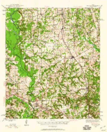
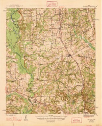
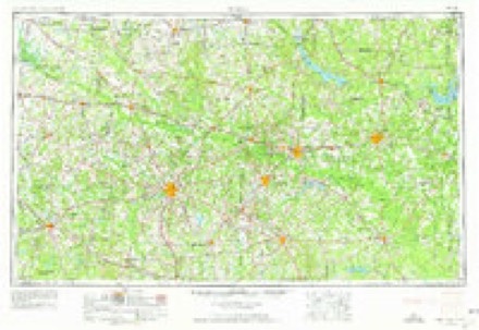
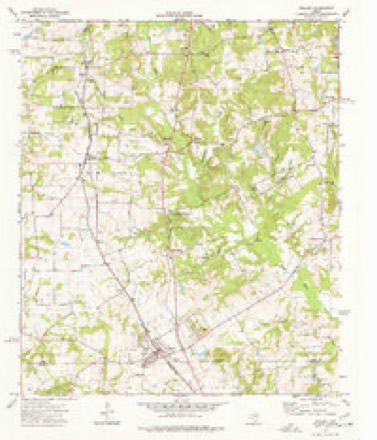
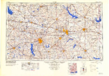
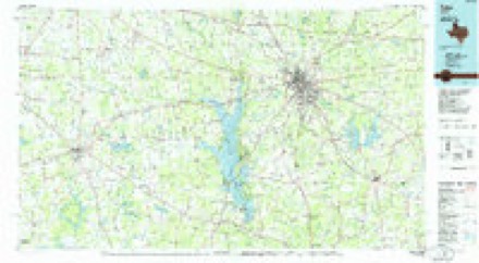
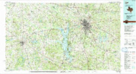
14 topographic sheets cover this place, the earliest surveyed in 1946 and the latest in 1991. It stands in the Bullard census division. It lies in ZIP code area 75757. The Survey maps it on the Bullard quadrangle.
Topographic sheets covering this place
7 surveys from 14 printed sheetsMatched by testing this settlement's coordinate against the published boundary of every sheet in the United States Geological Survey's historical collection. Each opens the scanned sheet at the Survey.
- 1946 USGS Bullard quadrangle1:62500, 2 printings
- 1948 USGS Bullard quadrangle1:62500
- 1956 USGS Tyler quadrangle1:250000, 5 printings
- 1973 USGS Bullard quadrangle1:24000
- 1984 USGS Tyler quadrangle1:250000, 3 printings
- 1985 USGS Tyler quadrangle1:100000
- 1991 USGS Tyler quadrangle1:100000
Fires near this place
224 since 1992Regional context, not property-specific evidence. The federal wildfire occurrence database lists 224 fires within 5 miles of Bullard between 1992 and 2020, burning about 1,499 acres in total. 8 started naturally. 9 were recorded as arson. Distance is straight-line from the map coordinates, so a fire counted here may appear on a neighbouring settlement's page as well.
| Reported cause | Fires |
|---|---|
| Debris and open burning | 141 |
| Missing data/not specified/undetermined | 34 |
| Equipment and vehicle use | 13 |
| Arson/incendiarism | 9 |
| Natural | 8 |
| Power generation/transmission/distribution | 7 |
| Smoking | 6 |
| Misuse of fire by a minor | 3 |
| Recreation and ceremony | 3 |
The most recent of them, most recent first, with the day each was reported and the service that recorded it.
| Date | Cause | Size | Reported by | Name on the report |
|---|---|---|---|---|
| 30 September 2017 | Debris and open burning | under an acre | Texas A & M Forest Service | LPVFD - 1197 CR 3605 |
| 26 September 2013 | Debris and open burning | under an acre | Texas A & M Forest Service | GRASS FIRE 349 CROCETTE (SBE) (140) |
| 25 September 2013 | Debris and open burning | under an acre | Texas A & M Forest Service | 13-315 |
| 24 September 2013 | Debris and open burning | 1.0 acres | Texas A & M Forest Service | 13-312 |
| 22 September 2005 | Debris and open burning | 5.0 acres | Texas A & M Forest Service | HENDERSON - 287 |
| 20 September 2005 | Debris and open burning | 12 acres | Texas A & M Forest Service | HENDERSON - 275 |
| 20 September 2005 | Debris and open burning | 4.0 acres | Texas A & M Forest Service | HENDERSON - 280 |
| 2 September 2015 | Debris and open burning | under an acre | Texas A & M Forest Service | CR 134 |
Settlements close enough to share some of these fires:
Mines and quarries near this place
2 within 5 milesRegional context, not property-specific evidence. The federal mineral resources record lists 2 workings within 5 miles of Bullard: 1 producer, 1 occurrence. 1 still produces. What was taken out: Iron, Halite, Gypsum-Anhydrite, Limestone, General. Distance is straight-line from the map coordinates, so a quarry counted here may appear on a neighbouring settlement's page as well.
| Where | Site | Commodity | Status | Recorded |
|---|---|---|---|---|
| Bullard Dome | Halite, Gypsum-Anhydrite, Limestone, General | Occurrence | 1927 | |
| Mount Selman | Iron | Producer |
Storms near this place
28 since 1997Regional context, not property-specific evidence. The National Weather Service names Bullard in 28 storm reports between 1997 and 2026: 14 hail, 7 thunderstorm wind, 3 flash flood, 2 tornado. No death or injury is recorded in these reports. Each account below is quoted exactly as the forecast office filed it, from the NOAA Storm Events Database, and each date opens the federal record of that event.
| When | Event | Place named | Harm | What the report says |
|---|---|---|---|---|
| October 2009 | Thunderstorm Wind | Bullard | $100,000 | A large oak tree was downed on a home in the Bullard, Texas community. The tree did moderate damage to the roof and the kitchen. Another tree was downed on a home in the 400 block of West Tyler Street in Bullard, Texas. A third tree was blown over onto a privacy fence in the 400 block of Willow Street. |
| February 2008 | Hail | Bullard | $50,000 | Damage was widespread in Bullard. |
| March 2004 | Tornado (F1) | Bullard | $30,000 | The tornado tracked from 5 miles west of Bullard to 2 miles northeast of Whitehouse. Damage consisted primarily of tree damage, occasional roof damage to a few homes, and isolated outbuildings damaged. |
| May 2025 | Tornado (EF1) | Bullard | $25,000 | An EF-1 tornado with estimated maximum winds near 93 mph touched down in a rural area west of Bullard in an open field just east of County Road 173 and gradually grew in size and strength as it continued just south of due east into the north side of Bullard. The tornado was at its most intense near North Houston Street and west of US Highway 69 where several hardwood trees exhibited snapped trunks and uprooted trees were quite concentrated, especially on the west side of a neighborhood just north of Lynch Drive. In this neighborhood, there were also quite a few residences with low end roof damage, mainly in the form of shingle loss. In this general area, there were also some|residences damaged by falling trees and tree limbs, but this was also the case east of Highway 69 in a residential area just north of East Henderson Street and in the rather large Pecan Valley subdivision south of East Henderson Street. The tornadic circulation appeared to have gone across the entirety of the latter subdivision. Many trees were uprooted in various directions in this subdivision, but the well-built residences in|this area generally did not sustain direct damage from the tornado because the winds were only judged at EF-0 intensity. Throughout the length of the tornado, downed hardwood and softwood trees were primarily uprooted and the somewhat saturated|state of the soils likely yielded more uproots than would otherwise have been the case if the soils were not as moist and the survey team took this into account in their rating|assessment. East of this neighborhood, the tornado continued across County Road 121 before the NWS survey team judged the tornado lifted near the intersection of County Road 118 and County Road 117. ||There were several individuals in the path of this tornado that were interviewed by the survey team and who reported seeing the tornado on approach. The tornado itself was part of an organized thunderstorm squall line that was producing damaging wind gusts |and doing at least isolated tree damage through the southern portion of Smith County Texas. The survey team estimated the tornado path away from other general tree damage due to tree damage oriented in different directions and at least occasionally |exhibiting convergent damage signatures. |
| March 2026 | Hail | Bullard | - | Quarter size hail reported in Bullard. |
| April 2026 | Hail | Bullard | - | Hail ranging from quarter to golf ball size reported in Bullard. Quarter size hail was also reported east of U.S. Highway 69 along FM Road 344. |
| March 2024 | Hail | Bullard | - | Quarter size hail reported at Highway 344 and County Road 121 near Bullard. |
| May 2024 | Thunderstorm Wind | Bullard | - | Trees and power lines downed in Bullard. |
| June 2023 | Hail | Bullard | - | Golf ball size hail reported near Bullard via social media. |
| May 2022 | Thunderstorm Wind | Bullard | - | Several trees snapped in Bullard. |
| July 2018 | Thunderstorm Wind | Bullard | - | Damaging winds snapped fence posts in Bullard. |
| December 2018 | Hail | Bullard | - | Quarter size hail fell in Bullard. |
| May 2017 | Thunderstorm Wind | Bullard | - | Trees and powerlines were downed near Bullard, Texas off FM 2137 and FM 344. |
| April 2016 | Flash Flood | Bullard | - | County Road 121 just east of Bullard was washed out. |
| April 2015 | Thunderstorm Wind | Bullard | - | Trees were downed in Bullard, Texas near Emerald Bay Drive. |
| April 2015 | Hail | Bullard | - | Golf ball sized hail reported in Bullard, Texas. |
| February 2012 | Hail | Bullard | - | Hail was reported just east of Bullard, Texas. |
| March 2012 | Flash Flood | Bullard | - | Sheriff reported high water over FM. 344 at Hwy. 69. |
| February 2008 | Hail | Bullard | - | Hail fell on Hwy 344 west, 2 miles east of Hwy 155. |
| October 2008 | Funnel Cloud | Bullard | - | A funnel cloud was reported near Bullard, Texas near Hwy. 69 and FM 2493. |
| August 2008 | Flash Flood | Bullard | - | U. S. Highway 69 was flooded just north of town. |
| June 2007 | Thunderstorm Wind | Bullard | - | Several trees and power lines were downed. |
| July 2007 | Flood | Bullard | - | Lake Palestine rose to a stage of 349.1 feet which was just a few inches short of its all time record crest. With the lake at this stage...the lake had to be closed to boating traffic due to the threat of boat wake damaging local camp homes along the lake. |
| April 2005 | Hail | Bullard | - | Hail fell in the community of Teaselville. |
| May 2001 | Hail | Bullard | - | Near Teaselville. |
| August 2003 | Hail | Bullard | - | no account filed |
| May 2003 | Hail | Bullard | - | no account filed |
| October 1997 | Hail | Bullard | - | no account filed |
Nearest settlements
The eight closest, with where each one stands in the county. Distances are straight-line, computed from the Geographic Names Information System coordinates.
| Map | Place | Distance | Sheets |
|---|---|---|---|
| New Hope | 2.2 miles | 14 | |
| Walnut Grove | 4.3 miles | 14 | |
| Teaselville | 4.5 miles | 16 | |
| Flint | 4.7 miles | 14 | |
| Antioch | 5.4 miles | 14 | |
| Lee Spring | 5.7 miles | 14 | |
| Gresham | 6.4 miles | 14 | |
| Dogwood City | 7.3 miles | 16 |
Provenance
This settlement is recorded in the Geographic Names Information System as feature 1331622. The sheet list is computed by point-in-boundary test against the United States Geological Survey's historical topographic inventory. Both are works of the United States government and carry no copyright under 17 U.S.C. 105.
Wildfire. Short, Karen C. 2022. Spatial wildfire occurrence data for the United States, 1992-2020 [FPA_FOD_20221014]. 6th Edition. Fort Collins, CO: Forest Service Research Data Archive. https://doi.org/10.2737/RDS-2013-0009.6 Collected with United States Government funding and usable without additional permissions or fees.
Mines and quarries. USGS Mineral Resources Data System (MRDS) https://mrdata.usgs.gov/mrds/ A work of the United States government, no copyright under 17 U.S.C. 105.
Storms. NOAA National Centers for Environmental Information, Storm Events Database https://www.ncei.noaa.gov/stormevents/ A work of the United States government, no copyright under 17 U.S.C. 105. Narratives are quoted verbatim from the National Weather Service report and are not edited or summarised.