 Block
BlockTerrell County, Texas
41 topographic sheets cover 11 settlements here.
Research this county
What the record shows
- 95 topographic sheet readings cover the county's settlements.
- The Geographic Names Information System records 11 populated places in this county; 11 are covered by at least one topographic sheet.
The county from the air
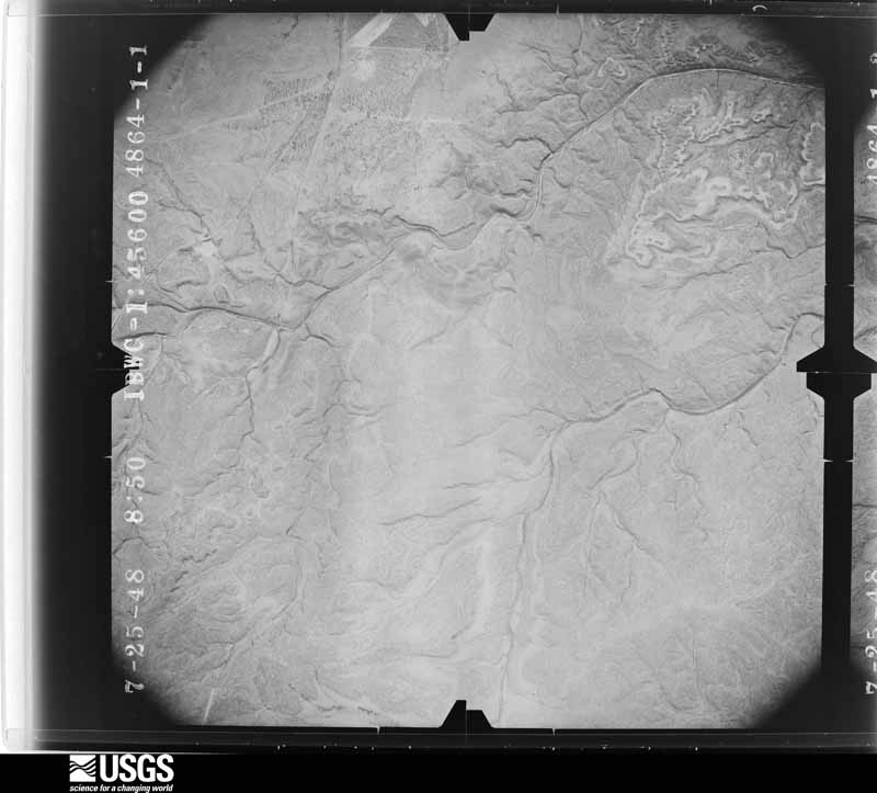
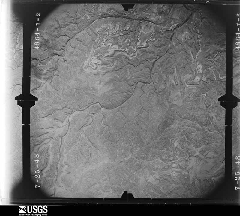
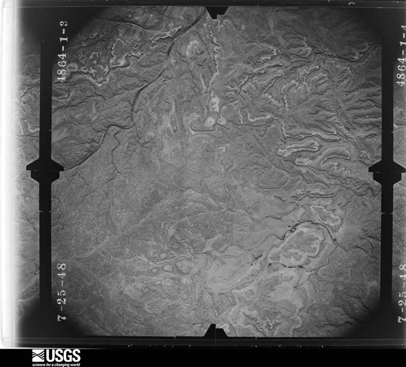
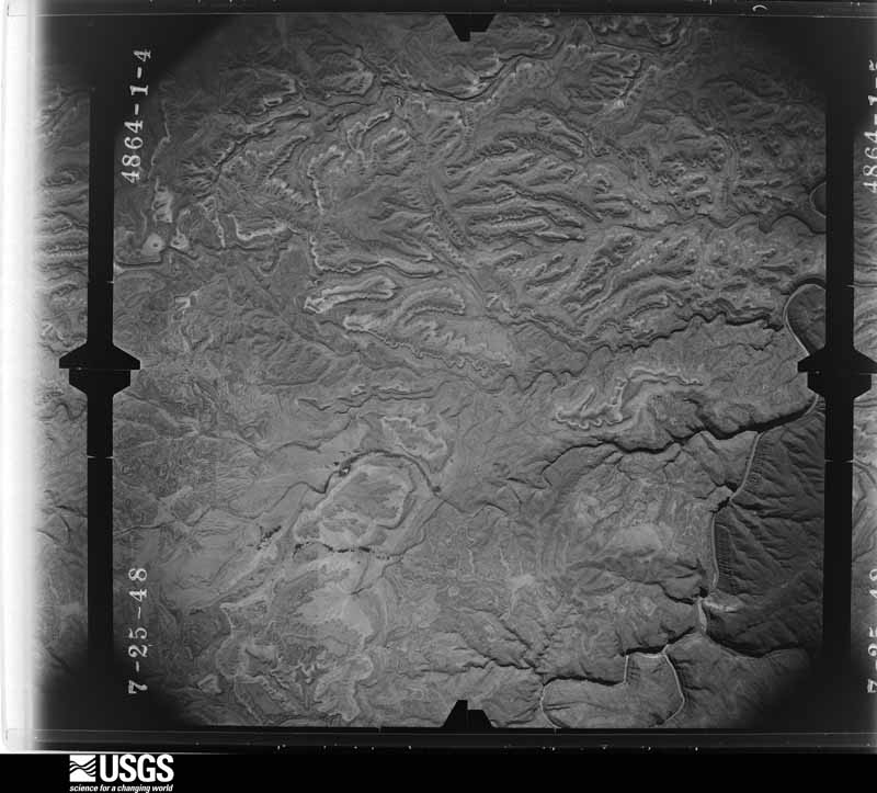
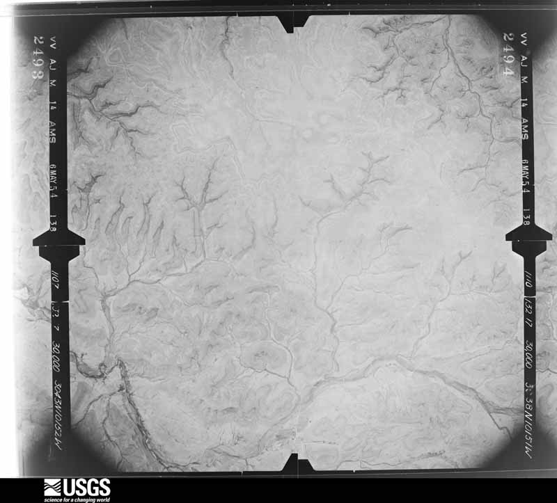
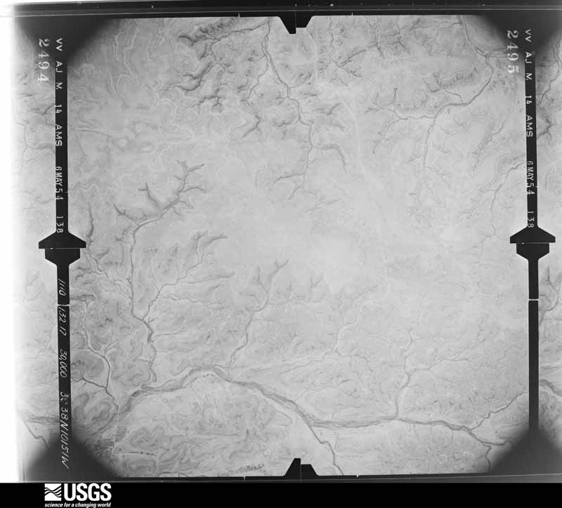
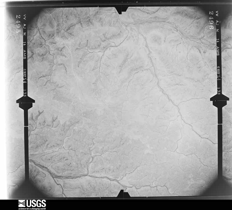
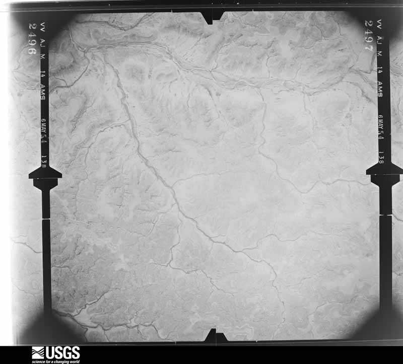
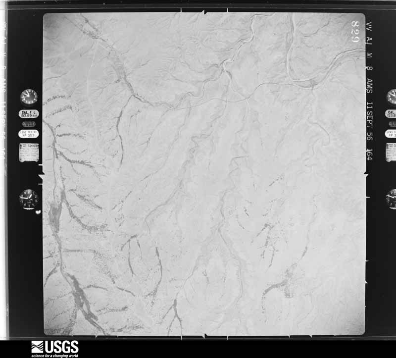
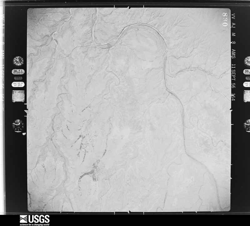
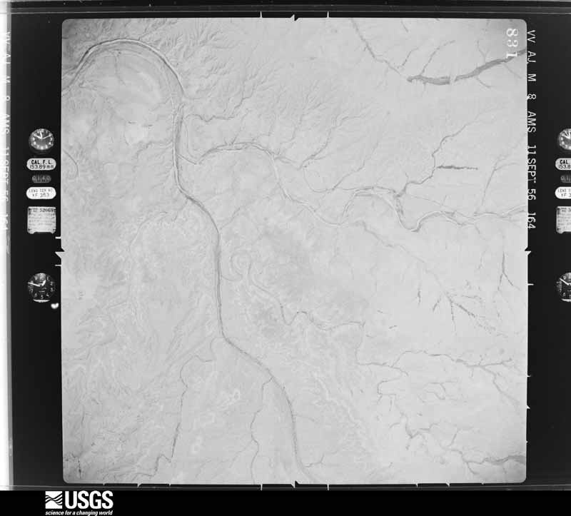
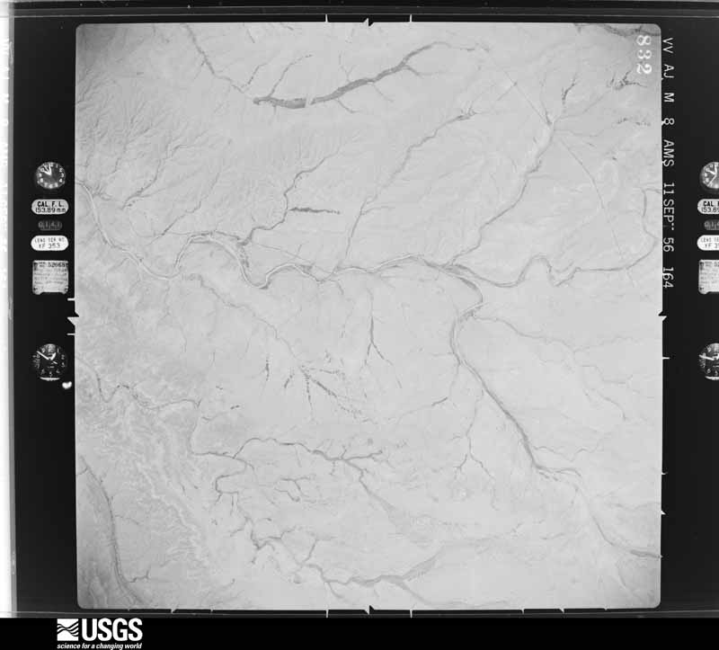
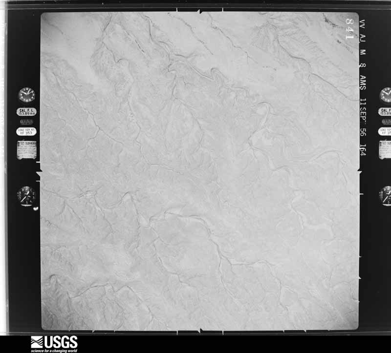
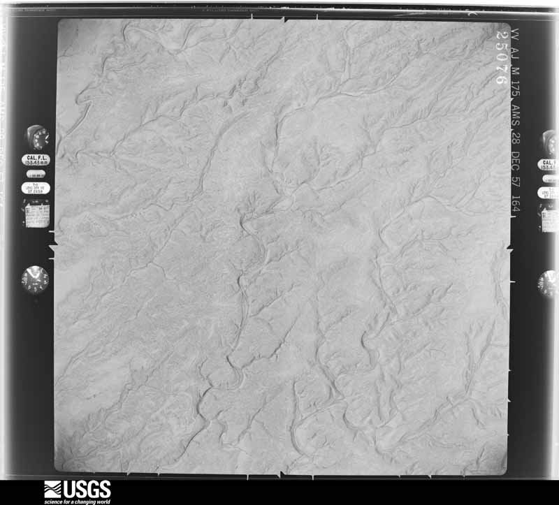
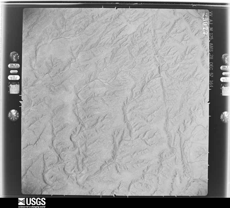
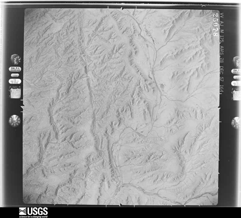
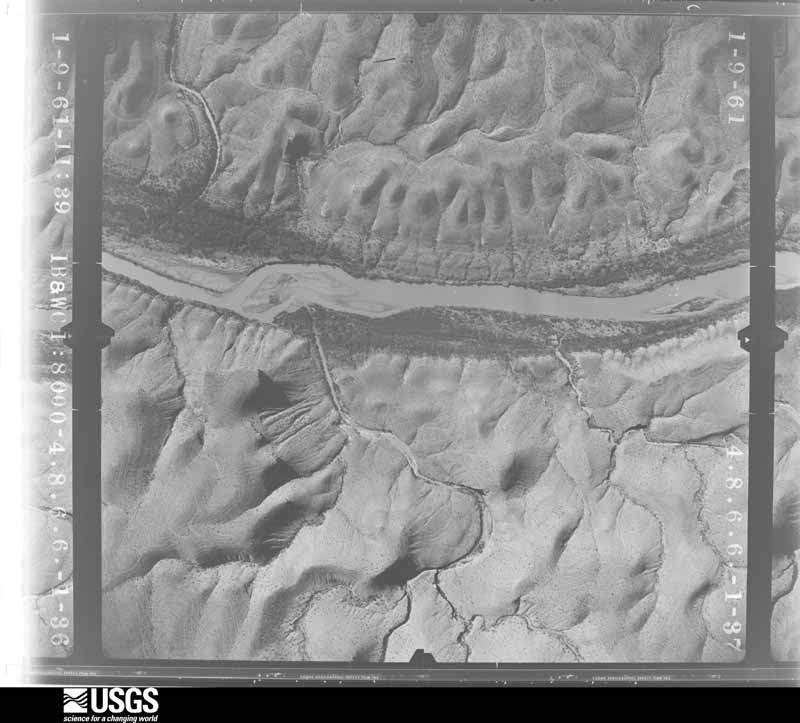
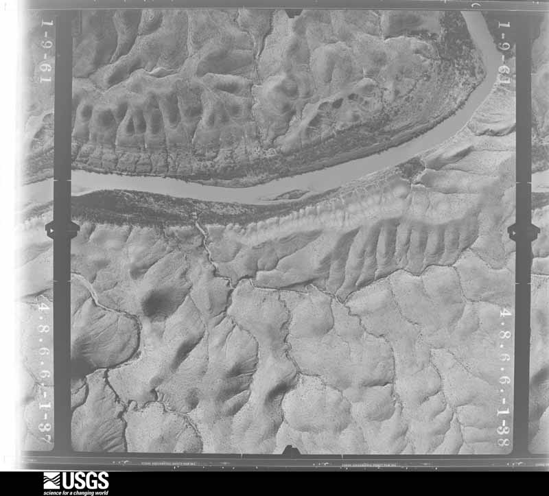
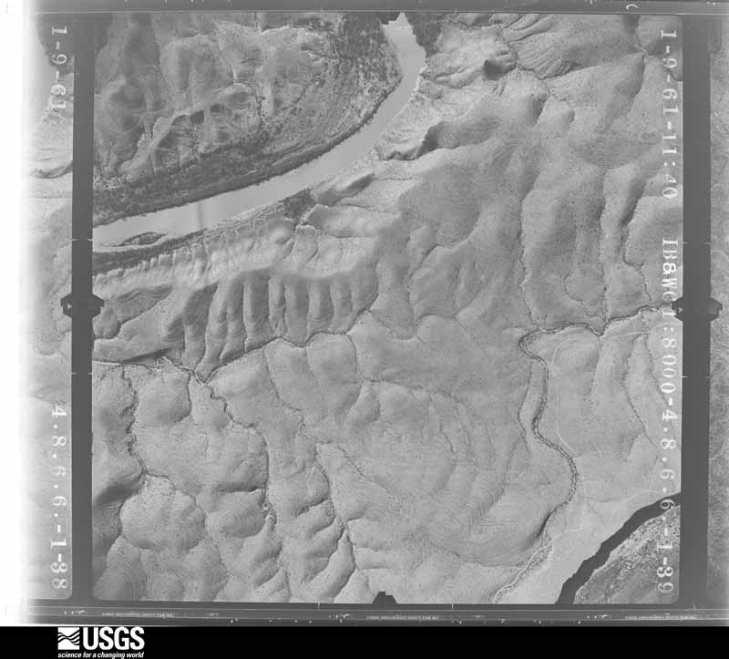
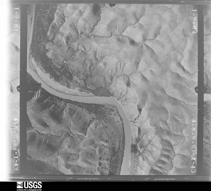
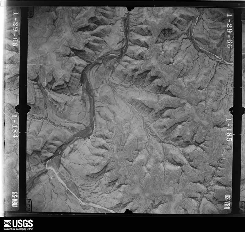
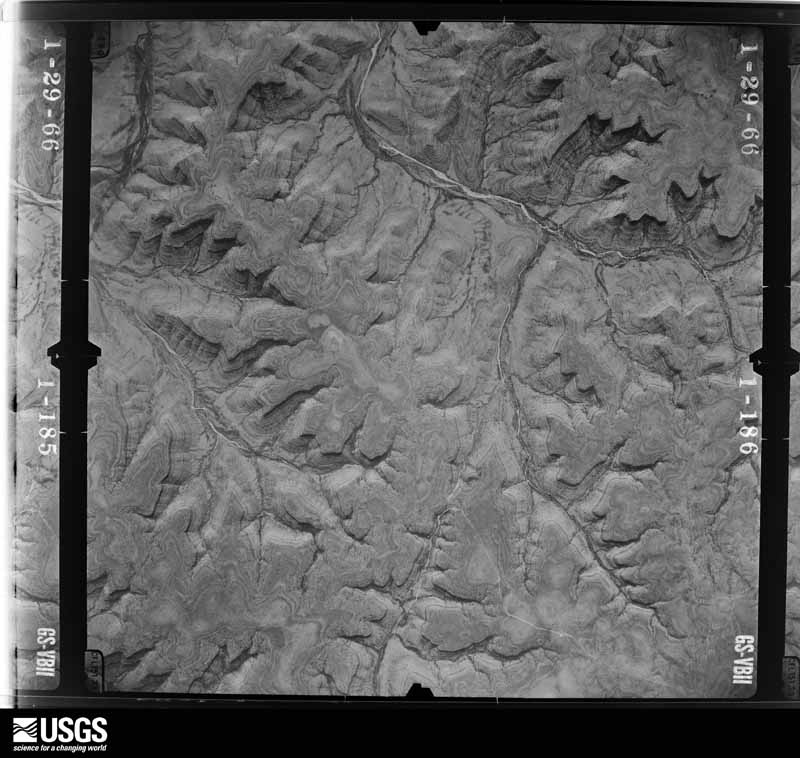
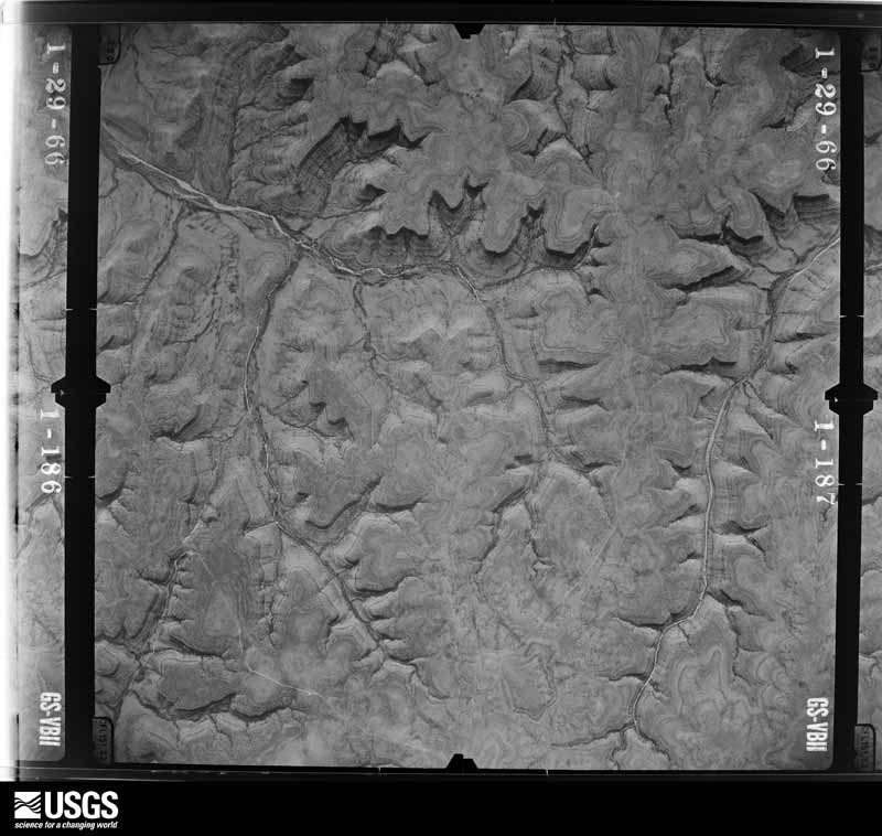
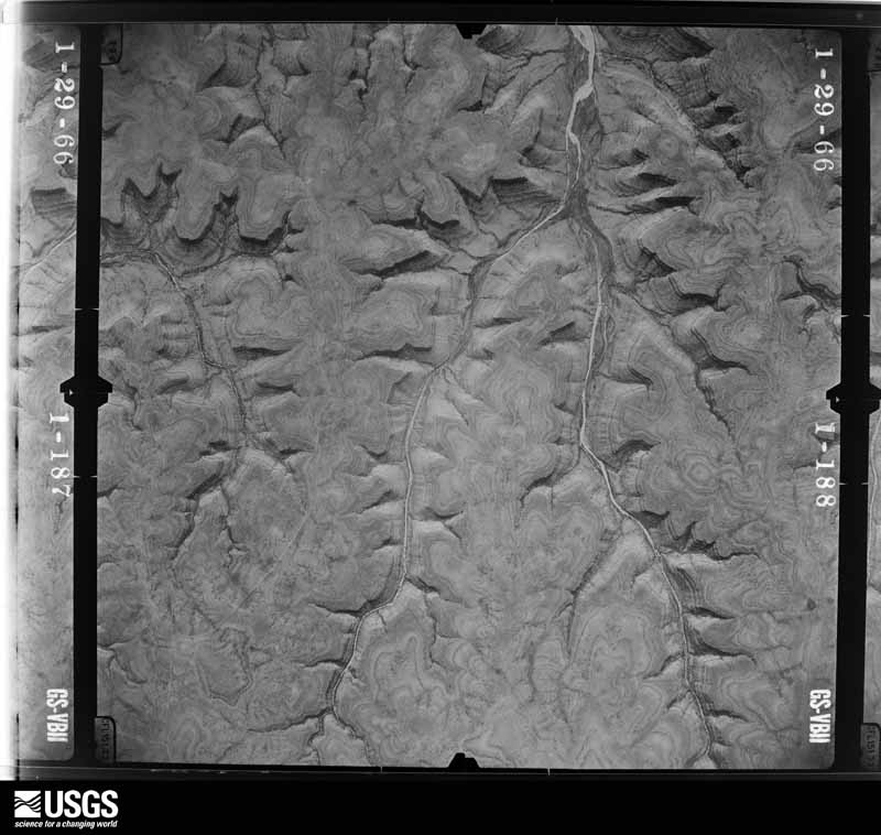
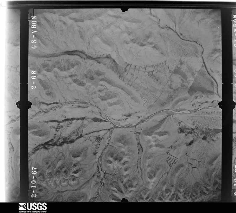
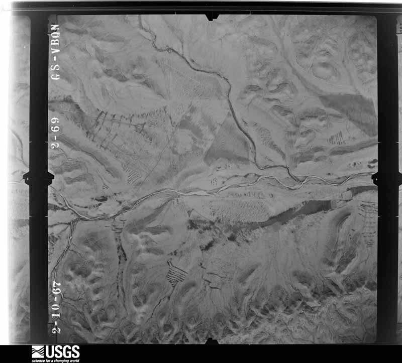
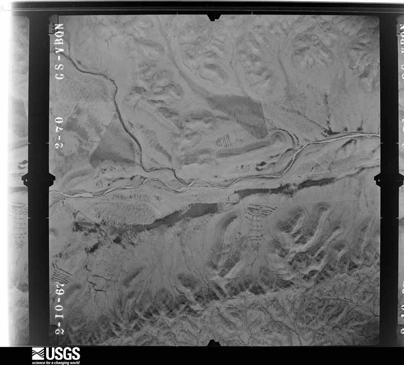
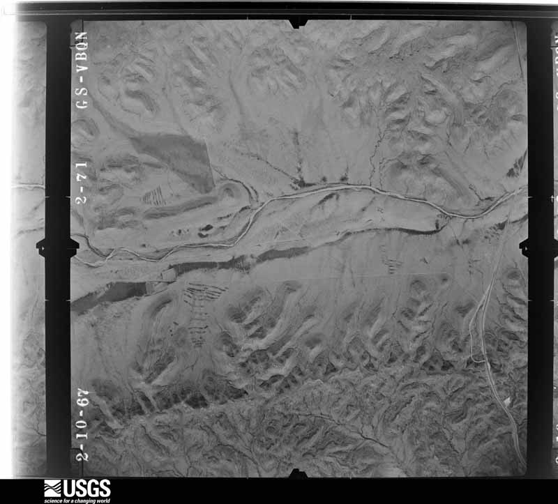
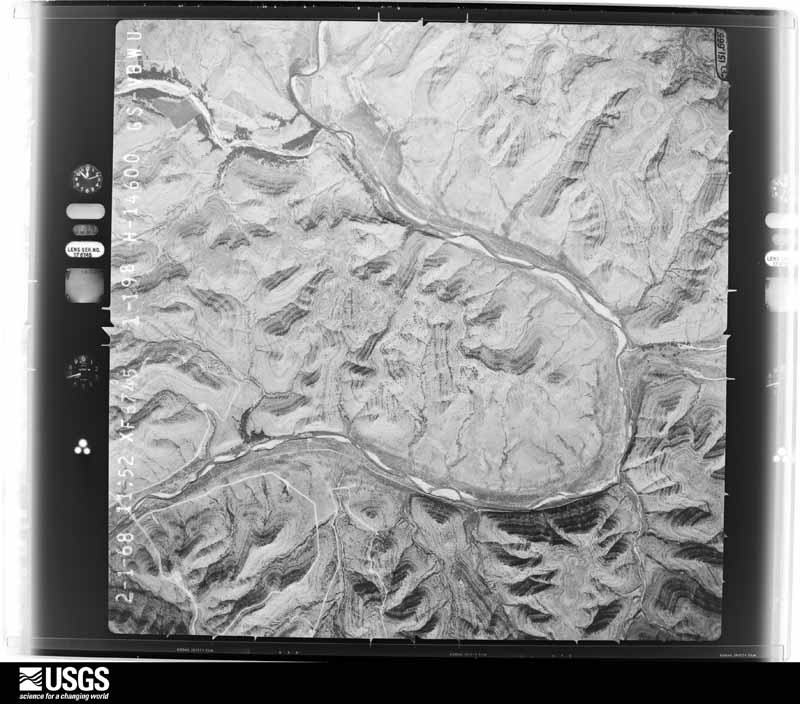
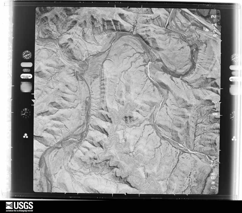
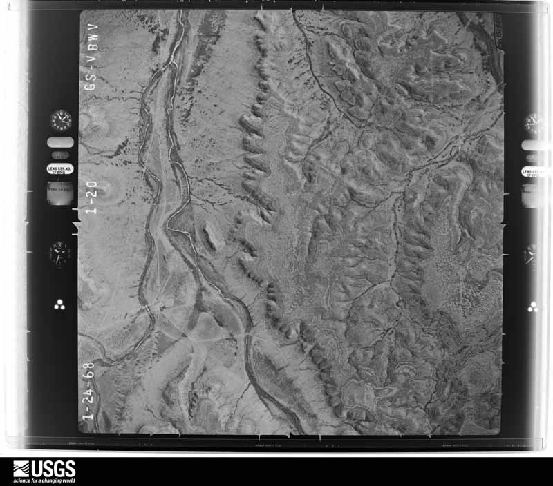
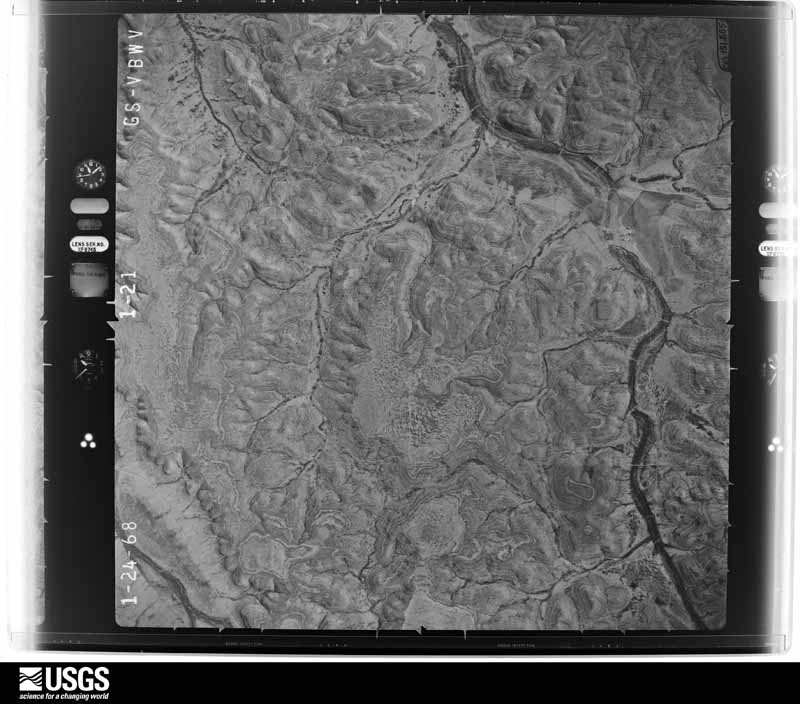
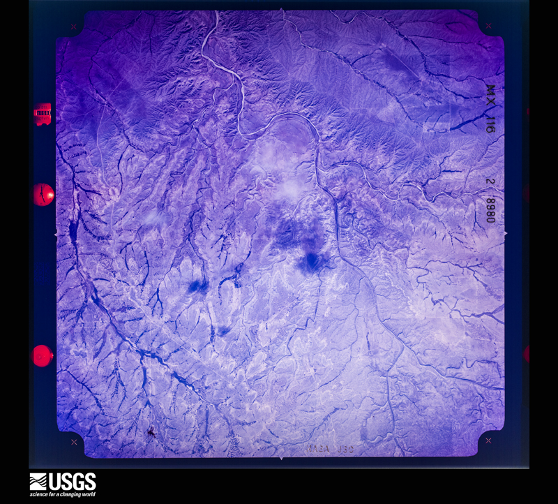
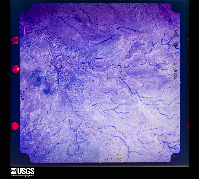
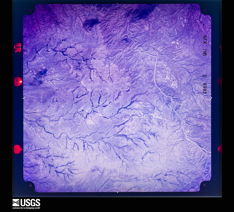
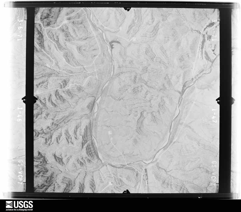
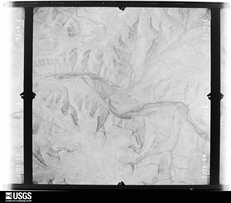
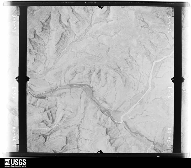
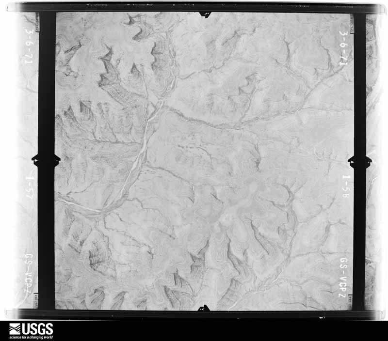
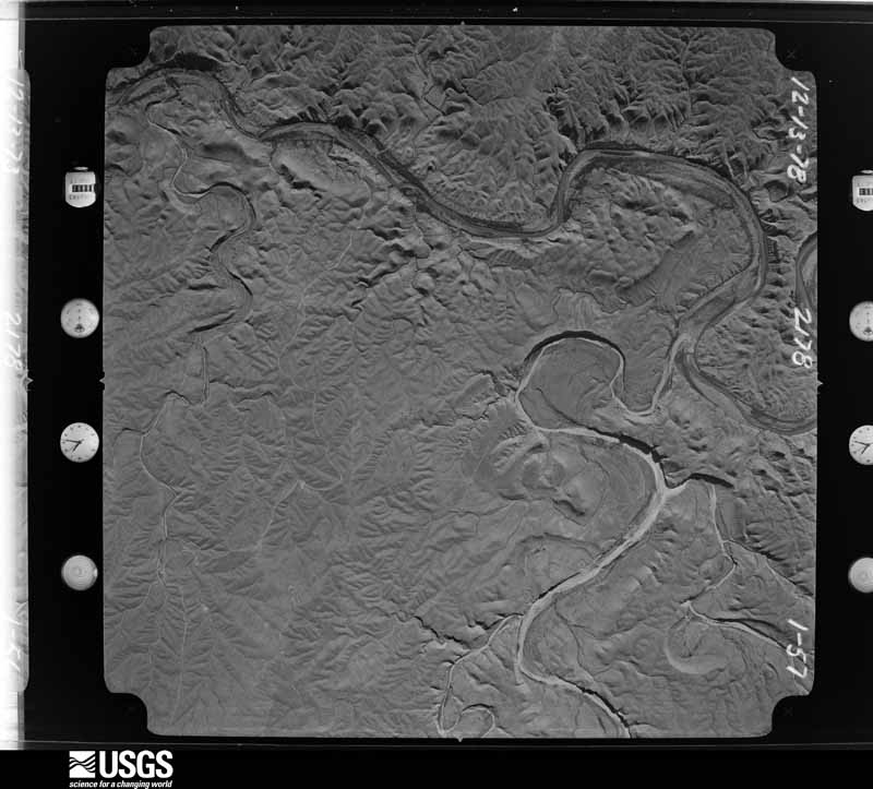
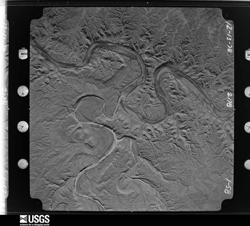
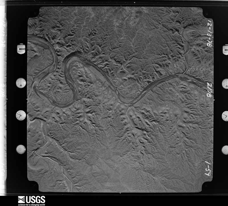
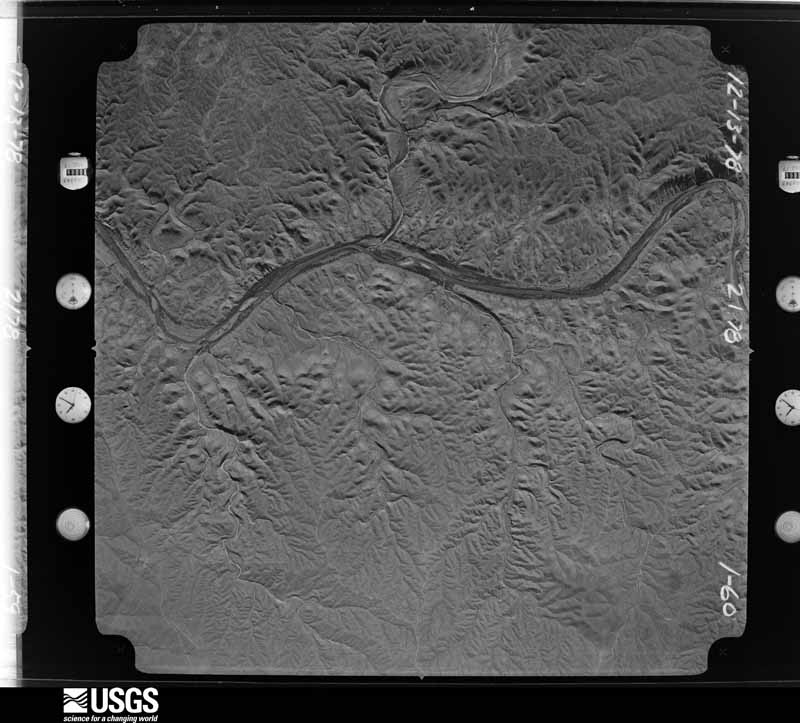
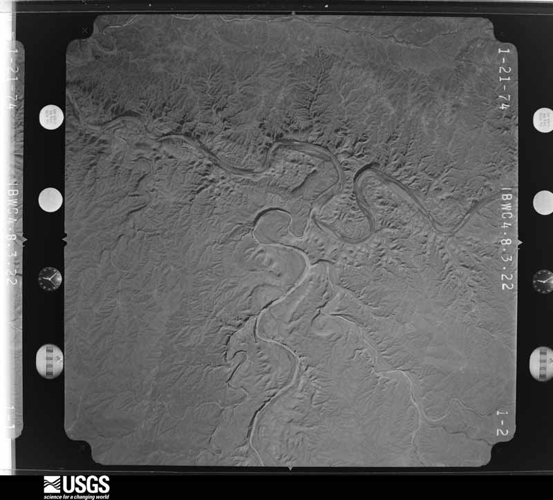
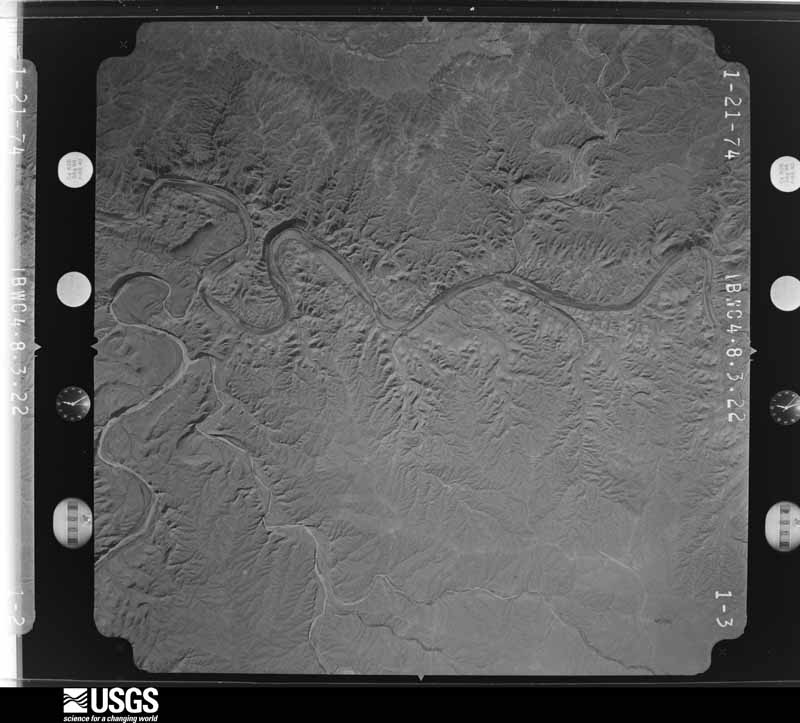
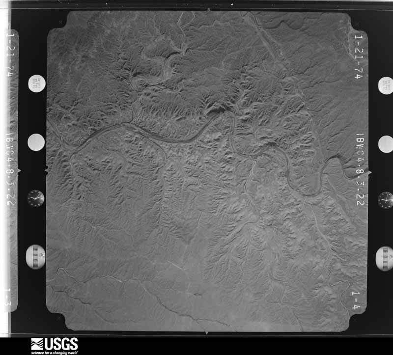
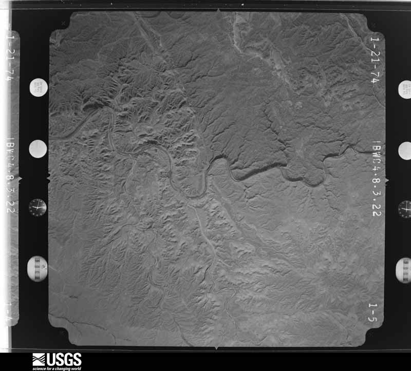
48 shownFlown by the U.S. Geological Survey between 1937 and 1989, the Aerial Photo Single Frames collection is the definitive mid-century view of the land: fields, roads and rivers as the camera saw them. The Survey holds 1,926 frames inside the rectangle that bounds this county; the 48 frames below were taken over the county itself, chosen across the decades of flights (at most four a year from that rectangle), so one flight cannot crowd out the rest. The full set is free to browse and download at EarthExplorer under the dataset Aerial Photo Single Frames.

Weather records
11 stations, 2 gagesThe thermometers that kept this county's weather, and the gages that measured the flow of its streams, as the federal records hold them. The extremes below are measured values from those records, not estimates.
- SANDERSON 1897 to 2013, hottest 43.3 C, coldest -16.1 C
- DRYDEN 10 NE 1937 to 1993, hottest 40.0 C, coldest 16.1 C
- SANDERSON 5 NNW 1947 to 1951
- DRYDEN 1966 to 1994, hottest 44.4 C, coldest -17.2 C
- DRYDEN TERRELL CO AP 1999 to 2026, hottest 51.1 C, coldest -17.1 C
- DRYDEN 17.7 NE 2008 to 2026
- SANDERSON 11.7 ENE 2009 to 2012
- SHEFFIELD 13.0 SW 2009 to 2014
- IRAAN 20.4 S 2009 to 2012
- SANDERSON 30.0 NE 2011 to 2013
- DRYDEN 23.0 SE 2022 to 2026
- Independence Ck nr Sheffield, TX 1974 to 2026
- Sanderson Ck at Sanderson, TX 2006 to 2017
The 1950 census, district by district
7 districtsWho lived here in 1950, one enumeration district at a time, as the Census Bureau described each district. Each row opens its official National Archives result, with Population Schedules and ED Maps available there.
- 222-1Justice Precinct 1: Sanderson, unincorporated: Sanderson, unincorporated Bounded by Richard st., Richard st. extended; Travis st., Sanderson; Canyon Downie st.; 2nd st.
- 222-2Justice Precinct 1: Sanderson, unincorporated Bounded by Richard st.; 2nd st.; Downie st.; Wilson st.
- 222-3Justice Precinct 1: Sanderson, unincorporated Bounded by Downie st.; Sanderson Canyon; Sanderson Canyon; Wilson st. extended, Wilson st.
- 222-4Justice Precinct 1 - That part outside the unincorporated place of Sanderson (See separate map for boundaries of Sanderson)
- 222-5Justice Precinct 2
- 222-6Justice Precinct 3
- 222-7Justice Precinct 4
Wildfire, 1998 to 2020
34 firesEvery wildfire the federal occurrence database records inside this county: 34 of them, burning about 18,651 acres. 21 started naturally and none was recorded as arson. Each settlement page carries the fires within five miles of it.
| Reported cause | Fires |
|---|---|
| Natural | 21 |
| Missing data/not specified/undetermined | 10 |
| Power generation/transmission/distribution | 2 |
| Smoking | 1 |
The five largest, by the area the report gives. None of them was recorded as arson.
| Date | Cause | Size | Reported by | Name on the report |
|---|---|---|---|---|
| 28 January 2008 | Missing data/not specified/undetermined | 7,600 acres | Texas A & M Forest Service | KNOX RANCH FIRE |
| 7 April 2011 | Power generation/transmission/distribution | 3,595 acres | Texas A & M Forest Service | SANDERSON FIRE |
| 29 August 2015 | Natural | 2,500 acres | Texas A & M Forest Service | WHITE RANCH |
| 13 April 2020 | Power generation/transmission/distribution | 750 acres | Texas A & M Forest Service | OAK CANYON |
| 17 August 2009 | Natural | 710 acres | Texas A & M Forest Service | FOREST RANCH |
| 17 August 2020 | Natural | 625 acres | Texas A & M Forest Service | 8 MILE |
| 14 August 2019 | Natural | 400 acres | Texas A & M Forest Service | PACKINGHAM RANCH |
| 20 July 2011 | Natural | 389 acres | Texas A & M Forest Service | INDEPENDENCE CREEK FIRE |
Every settlement page carries the fires within five miles of it - see the settlement index below.
Storms, 1955 to 2026
60 of 211 shownThe NOAA Storm Events Database holds 211 reports for this county, causing no deaths, 19 injuries and about $3,036,950 in recorded property damage. Each settlement page carries the reports that name it.
| Kind of event | Reports |
|---|---|
| Hail | 118 |
| Thunderstorm Wind | 47 |
| Flash Flood | 35 |
| Tornado | 11 |
The most serious of them, by death, then injury, then recorded damage. The accounts are quoted exactly as the forecast office filed them.
| When | Event | Place named | Harm | What the report says |
|---|---|---|---|---|
| June 2024 | Tornado (EF3) | (P07)Sanderson | 12 hurt, $400,000 | Photos showed a tornado formed very near Sanderson along a ridge northwest of town. This tornado immediately entered a neighborhood west of US Highway 285 in Sanderson. Damage in this neighborhood included damage to walls and roofs of several houses with the complete destruction of a manufactured home. A sturdy steel carport collapsed in on itself, and trees were debarked in the area. This damage was rated with a max estimated wind speed of 140 MPH, making this tornado an EF-3. This tornado would continue a short distance to the east of this neighborhood, moving shipping containers and snapping power poles before lifting. Property damage cost is an estimation. Additionally, 12 injuries were reported, one was critical. |
| July 2005 | Thunderstorm Wind | Sanderson | 7 hurt | Damaging thunderstorm winds struck Sanderson, Texas during an Independence Day celebration. Winds blew down several large circus-style tents at the outdoor festival. Minor injuries were reported. Winds also blew two inch diameter limbs off trees. A National Weather Service cooperative observer also reported that his neighbor's trailer house was displaced about 50 feet from its original location. Nickel to quarter size hail also accompanied this storm. |
| July 2004 | Flash Flood | Dryden | $1,100,000 | A large complex of thunderstorms erupted over southeastern Pecos County, northeastern Brewster County, and much of Terrell County during the pre-dawn hours Sunday. Terrell County received the heaviest rainfall, with KMAF 88D Doppler radar estimates that totaled seven to nine inches over rural portions of north-central Terrell County between 03:00 and 12:00 CST. Widespread and damaging flash flood conditions resulted across the west Texas Lower Trans Pecos. This heavy rainfall and its associated runoff produced flash flooding along Dry Creek and Independence Creek. Local officials reported that a wall of water that measured eighteen feet in height propagated down Dry Creek in the pre-dawn hours. The debris-filled flood waters severely damaged a bridge on State Highway 349 twenty-five miles north-northeast of Dryden. By midday an earthen and concrete embankment on the north end of the bridge was washed away, and the structure was cracked in several locations. Only a single concrete pillar and a thin layer of asphalt prevented a complete collapse. In addition to the extensive damage sustained to the bridge, large segments of State Highway 349 also were washed away between the intersection of Farm to Market Road 2400 and Dry Creek as water rushed through low lying areas and small tributaries. Stretches of pavement measuring 100 feet in length were stripped away. At 16:20 CST local officials reported more than three feet of water flowing over Big Canyon Bridge fifteen miles north of Dryden. Later reports indicated that the bridge did not sustain significant structural damage.Raging flood waters also deposited huge mounds of mud and gravel up to four feet deep over the highway. With a lull in thunderstorm activity during the mid afternoon, flash flooding along State Highway 349 generally receded by 15:00 CST. Road crews worked for days to remove the vast amount of debris and damage that resulted from the flood waters. |
| July 2004 | Flash Flood | Dryden | $300,000 | Flash flooding along Independence Creek inundated the intersection of State Highway 349 and Farm to Market Road 2400 in northern Terrell County. A local newspaper reported that flood waters stranded a pair of motorists at the intersection. Emergency crews from Iraan (Pecos County) responded and conducted swift water rescues to bring the couple to safety. Dangerous flash flood conditions along Independence Creek, Farm to Market Road 2400 and its intersection with State Highway 349 corresponded to a flood wave measured along the creek at the Chandler Ranch, several miles east-southeast of the intersection. At 09:45 CST a gauge registered a crest of eighteen feet. Independence Creek empties into the Pecos River on the northeast side of the Chandler Ranch property. The ranch headquarters suffered severe damage as a series of waves swept down the Pecos River and produced flash flooding of low lying areas. Following the rescue of stranded motorists, emergency officials closed Farm to Market Road 2400 and State Highway 349 south of Sheffield. Water along Farm to Market Road 2400 began to recede shortly after 18:00 CST. State Highway 349 remained closed for an extended period of time due to extensive damage along Dry Creek. Texas Department of Transportation crews worked for several days to remove large pieces of vegetation and other debris from the highways. |
| September 1965 | Tornado (F3) | not stated | $250,000 | no account filed |
| July 2004 | Flash Flood | Dryden | $200,000 | The first of two flash floods along the Pecos River in northeastern Terrell County occurred just before sunrise. Runoff from the Dry Creek flood that damaged State Highway 349 emptied into the Pecos River from the lower portion of Independence Creek. The Chandler Ranch headquarters, located in a flood plain adjacent to the merger of Independence Creek and the Pecos River, sustained serious damage. Ranch residents described a large "wall" of water that swept through the flood plain and inundated the headquarters. Large trees were uprooted by the currents. A swimming pool was destroyed by debris carried in the raging water. Several structures, including a permanent residence, were severely damaged. Damage to the headquarters was aggravated by a second significant flood wave that propagated down the Pecos and produced another round of flash flooding on the grounds late Sunday evening. |
| June 1997 | Thunderstorm Wind | Sanderson | $200,000 | An HP supercell in the western part of Terrell County produced a bow echo on its southern flank as it approach Sanderson with the apex of the bow aimed at the town. Damaging winds rushed into town with torrential rains and mostly pea size hail. The most substantial damage was to a department store that had the roof blown off and the front wall collapse into the street. Signs were bent over, trees uprooted, and power poles broken. Also a large Texaco sign was blown down and dumpsters were overturned and pushed down alleys. It was evident from the damage that all the winds were blowing from the west or northwest. |
| June 2024 | Tornado (EF1) | (P07)Sanderson | $100,000 | The same supercell thunderstorm that caused the first tornado would quickly produce another smaller tornado near the center of Sanderson a short time later. This tornado was photographed as a skinny rope tornado moving roughly parallel to Oak Street. This tornado would snap power poles, damage roofs, and destroy a small wooden building before lifting. This short-lived tornado was rated an EF-1 with peak winds estimated to have been 110 MPH. Property damage cost is an estimation. |
| April 2011 | Tornado (EF2) | (P07)Sanderson | $100,000 | Tornado damage was reported near Sanderson at approximately 17:45 CST. Several cedar trees were destroyed as the tornado tracked east southeast. A home and barn were also destroyed by the tornado. Spotter reports indicate the tornado was 1/2 mile wide and travelled approximately 9 miles. |
| July 2004 | Flash Flood | Dryden | $100,000 | A second wave of convection developed over the Lower Trans Pecos region Sunday evening. The additional rain combined with the saturated conditions and standing water to quickly result in another round of flash flooding. The Chandler Ranch headquarters was impacted by a second large flood wave that propagated down the Pecos River and produced flash flooding. This event damaged several structures, including the foundation of a primary ranch residence which was cracked by the force of the flood waters. No injuries were reported. |
| March 2004 | Thunderstorm Wind | Dryden | $75,000 | Employees at the Terrell County Gas Plant reported winds up to 70 MPH. The winds knocked over a large storage vessel that weighed several tons. In addition, a service unit was also damaged. |
| April 2009 | Hail | (P07)Sanderson | $66,000 | The hail virtually destroyed the exterior of one work truck within the Terrell Gas Plant. It also knocked out several windows on approximately seven nearby homes and although it was not reported, one can assume the roofs to those homes were also damaged. Please see the attached photo for hail images. |
| October 2003 | Flash Flood | Dryden | $25,000 | A stretch of Farm to Market Road 2400 approximately 500 feet long was washed out near that highway's intersection with Highway 349. |
| June 2025 | Thunderstorm Wind | (P07)Sanderson | $20,000 | Metal roofing was peeled off of the Rural Health Clinic in Sanderson. The total time of occurrence is partially estimated. The cost of damages is also estimated. |
| November 1996 | Hail | Sanderson | $20,000 | The biggest hail storm to hit Sanderson in years struck on the evening of Nov 6th. Jagged hail stones were common. First reports were of 1 inch hail but the size eventually became tennis ball size. Some cars at a dealership were damaged during the storm. |
| June 2004 | Hail | Dryden | $15,000 | Tennis ball size hail was reported at the Terrell County Airport. |
| May 2010 | Hail | (P07)Sanderson | $12,000 | The hail caused major damage to a trailer home, destroying windows, siding and the entire skirt. |
| June 1998 | Thunderstorm Wind | Sanderson | $10,000 | Thunderstorm winds destroyed a large barn on a ranch north of Sanderson. |
| May 2020 | Thunderstorm Wind | Sanderson | $8,000 | A thunderstorm moved across Terrell County and produced wind damage about 16 miles south southeast of Sheffield. A large healthy tree was blown down which damaged a truck. The cost of damage is a very rough estimate. |
| September 2023 | Thunderstorm Wind | Dryden | $7,500 | Two power poles were reported blown down in rural Terrell County. Time is estimated from radar. Wind speeds are estimated to be approximately 90 mph. Property damage cost is an estimation. |
| April 2009 | Tornado (EF2) | Dryden | $5,000 | Although a tornado was never reported during the time of issuance, later public reports and a NWS Storm Survey indicated in fact there was a tornado. Based on radar estimates, tornadic damage began sometime around 4 PM CST about 28 miles north of Dryden, TX. This is where a 30 gallon fiberglass tank was destroyed, in addition to another chemical tank. Pieces of the fiberglass tank were found downwind. A set of metal stairs that appeared to have been welded to the tank were also found downwind and were no longer attached to the tank. As the tornado tracked southeastward, its debris field of rocks, gravel and tree limbs stripped the paint off of a recently painted 300 gallon storage tank. The tornado continued on its path and weakened after stripping some cedar trees sometime around 404 PM CST. Please see the attached images for damage photos and a detailed image of the tornado's damage path. |
| June 2004 | Hail | Sanderson | $5,000 | The Terrell County Judge reported tennis ball size hail along U.S. Highway 90 just southeast of Sanderson. |
| June 1998 | Thunderstorm Wind | Dryden | $5,000 | A cell in the northern part of the line had damaging wind gusts that ripped doors off one house, blew belongings out into the yard, and took the roof off a barn. |
| February 2005 | Hail | Dryden | $3,000 | A rural resident of northeastern Terrell County encountered golfball to baseball size hail along Texas Highway 349 near Independence Creek.An isolated supercell thunderstorm initiated near a dryline and cold front triple point over southern Pecos County during the afternoon of the 23rd. This storm rapidly intensified as it moved east into northern Terrell County. Two independent reports of giant hail were received as the storm traversed rural portions of the county. |
| June 2006 | Thunderstorm Wind | Sanderson | $2,000 | The Terrell County Sheriff's Office reported that the roof was blown off of a county owned storage building. |
| October 1998 | Thunderstorm Wind | Dryden | $2,000 | A large isolated thunderstorm developed in central Brewster Country and tracked NE into Terrell County where it knocked down power lines. |
| September 2022 | Flash Flood | Sanderson | $1,000 | Heavy rain resulted in flash flooding in Terrell County. There was several feet of floodwater in Sanderson Canyon which resulted in evacuations. The cost of damage is a very rough estimate. |
| February 2005 | Hail | Dryden | $1,000 | The Texas Department of Transportation reported baseball size hail at the intersection of Farm to Market Road 2400 and Texas Highway 349. |
| June 1998 | Thunderstorm Wind | Dryden | $1,000 | Thunderstorm outflow winds clocked at 52 knots before power was knocked out at the airport. Also, a utility pole was knocked down about 3 miles north of the airport. |
| June 1998 | Thunderstorm Wind | Sanderson | $1,000 | Outflow winds knocked down a utility pole along U.S. Highway 90 that cut the power to all points east. |
| May 2018 | Hail | (P07)Sanderson | $500 | A thunderstorm moved across Terrell County and produced golf ball sized hail in Sanderson. The Terrell County Sheriff's Department reported a few broken windows and several tree branches broken throughout Sanderson. The cost of damage is a very rough estimate. |
| June 2016 | Hail | (P07)Sanderson | $500 | A thunderstorm moved across Terrell County and produced hail damage near Sanderson. A windshield was broken by two inch hail on Highway 90 west of Sanderson. The cost of damage is a rough estimate. |
| October 2014 | Hail | Dryden | $500 | A thunderstorm moved across Terrell County and produced golf ball hail in Dryden. The hail broke a window in a home. The cost of damage is a rough estimate. |
| July 1994 | Hail | Dryden | $500 | no account filed |
| June 2025 | Thunderstorm Wind | (P07)Sanderson | $250 | An uprooted tree was reported in Sanderson. The total time of occurrence is partially estimated. The cost of damages is also estimated. |
| May 1995 | Thunderstorm Wind | Dryden | $200 | Sixty mph wind and downed trees reported by co-op observer. Severe weather was widespread during the afternoon and evening of the 26th. The first storms (west of the Pecos River) were in cells, where some tornadoes were reported. As the organized convection moved eastward a line of severe thunderstorms formed. Strong downbursting winds and winds from bow echoes caused scattered damage up and down the line of storms. The farther the storms progressed eastward hail reports decreased but more strong winds and wind damage reports were received. |
| April 2026 | Hail | (P07)Sanderson | - | A phone call with Fire and Rescue confirmed 2 inch hail fell in Sanderson. The total time of occurrence is estimated from radar. |
| April 2025 | Hail | Dryden | - | A report of golf ball size hail was received from mPING. Time is estimated from radar. |
| April 2025 | Flash Flood | (P07)Sanderson | - | A storm chaser reported that a large stretch of FM 2400 was under approximately 6 inches of rushing water. The entire road is flooded. Time is estimated from radar. |
| April 2025 | Flash Flood | (P07)Sanderson | - | A part of FM 2400 was reported flooded out by at least a foot of water. A few vehicles were unable to cross the road at either end. The time is estimated from radar. |
| June 2025 | Thunderstorm Wind | Dryden Ffa Site | - | The AWOS station K6R6 5 W Dryden recorded a storm-related gust of 93mph. The time of occurrence is partially estimated. |
| June 2025 | Thunderstorm Wind | Dryden Ffa Site | - | The AWOS station K6R6 5 W Dryden measured a 62 mph wind gust. The total interval of occurrence is estimated. |
| June 2025 | Thunderstorm Wind | (P07)Sanderson | - | A report of estimated 70 mph winds was received from fire/rescue in Sanderson. The severe winds were accompanied by small hail. The time of occurrence is partially estimated. |
| July 2025 | Thunderstorm Wind | Dryden Ffa Site | - | The ASOS station at Dryden measured a wind gust of 62 mph, along with a couple of other severe wind gusts. The total time of occurrence is partially estimated. |
| May 2024 | Hail | Dryden Ffa Site | - | The time of this report was estimated from radar. |
| May 2024 | Flash Flood | Dryden | - | Flash flooding was observed along State Highway 349 with multiple low water crossings impassable due to high water, especially along Independence Creek. |
| June 2023 | Tornado (EF0) | Dryden | - | Delete this report. |
| June 2023 | Tornado (EFU) | Dryden | - | Due to the rural location and lack of damage indicators, no damage was found and the tornado was rated an EF-Unkown. Photos and radar were used to estimate path length and time. The tornado continued for nearly 45 minutes before crossing the international border into Mexico where it likely continued on. Path width is also estimated. |
| June 2023 | Hail | Dryden Ffa Site | - | A photo was shared showing approximately two-inch hail along US Highway 90. |
| June 2023 | Hail | (P07)Sanderson | - | Hail report via mPing. |
| May 2021 | Hail | Dryden | - | A thunderstorm produced golf ball sized hail west of Dryden. The hail was measured by IBHS hail study researchers. The time of the hail was estimated from radar. |
| May 2021 | Thunderstorm Wind | Dryden | - | A thunderstorm produced a 60 mph wind gust at the Dryden ASOS site. |
| September 2021 | Thunderstorm Wind | Dryden | - | A thunderstorm moved across Terrell County and produced a 71 mph wind gust in Dryden. |
| April 2017 | Flash Flood | Sanderson | - | Heavy rain fell across Terrell County and produced flash flooding fifteen miles south of Sheffield. Oxy USA Inc. Gas Plant said many side roads and low water crossings were inundated with over six inches of water. |
| June 2016 | Flash Flood | Dryden | - | Heavy rain fell across Terrell County and produced flash flooding fifteen miles south of Sheffield. Six to twelve inches of water was reported running over State Highway 349 at Independence Creek. No damage was reported. |
| September 2016 | Thunderstorm Wind | Dryden | - | A thunderstorm moved across Terrell County and produced a 59 mph wind gust at the Dryden AWOS site. |
| July 2016 | Thunderstorm Wind | Dryden | - | A thunderstorm moved across Terrell County and produced a 58 mph wind gust at Dryden. |
| April 2015 | Thunderstorm Wind | Dryden | - | A thunderstorm moved across Terrell County and produced a 68 mph wind gust at the Dryden ASOS site. |
| April 2015 | Thunderstorm Wind | Dryden | - | A thunderstorm moved across Terrell County and produced a 68 mph wind gust at the Dryden ASOS site. |
| April 2013 | Hail | Sanderson | - | A thunderstorm developed over Terrell County and produced pingpong ball sized hail one mile southeast of Sanderson. |
Mines and quarries
4 recordedThe Survey's mineral resources record lists 4 workings inside this county. 2 still produce and 2 are closed or unrecorded. Each settlement page carries the workings within five miles of it.
| Commodity | Workings |
|---|---|
| Barium-Barite, Strontium | 2 |
| Stone | 1 |
| Flagstone | 1 |
The least common of them first, because a county's hundredth gravel pit says nothing its first ten did not.
| Where | Site | Commodity | Status | Recorded |
|---|---|---|---|---|
| Dryden Stone Quarry | Stone | Producer | Sedimentary | |
| West Texas Stone Company Operation | Flagstone | Producer | ||
| Hackberry Creek Prospect | Barium-Barite, Strontium | Occurrence | ||
| Unnamed Occurrence | Barium-Barite, Strontium | Occurrence |
Every populated place in the county
11Named settlements recorded in the Geographic Names Information System, each with the topographic sheets covering it. Villages, hamlets and abandoned places alike. Each is shown with the nearest named watercourse or landform and the survey quadrangle it falls on.
-
Dryden Crossing
East Terrell census division · Near Jabalina Canyon · Taylor Canyon quadrangle
10 sheets, 1918 to 1985
-
Lozier
East Terrell census division · Near Pumpville Canyon · Lozier Canyon North quadrangle
8 sheets, 1943 to 1985
-
Malvado
East Terrell census division · 78851 · Near Cedar Draw · Lozier Canyon North quadrangle
8 sheets, 1943 to 1985
-
Sanderson
West Terrell census division · 79848 · Near Threemile Draw · Sanderson quadrangle
10 sheets, 1928 to 1985
-
Watkins
East Terrell census division · Cook Creek North quadrangle
8 sheets, 1943 to 1985
No longer a settlement
The vanished settlements of Terrell County: the places named above that are no longer on the map.
Provenance
- Topographic sheets. USGS Historical Topographic Map Collection, county index, measured from the bulk metadata.
- Fire insurance maps. Library of Congress Sanborn collection, faceted to this county.
- Photographs. Each place queried individually against the Library of Congress Prints and Photographs search.
- Wildfire. Short, Karen C. 2022. Spatial wildfire occurrence data for the United States, 1992-2020 [FPA_FOD_20221014]. 6th Edition. Fort Collins, CO: Forest Service Research Data Archive. https://doi.org/10.2737/RDS-2013-0009.6 Collected with United States Government funding and usable without additional permissions or fees.
- Mines and quarries. USGS Mineral Resources Data System (MRDS) https://mrdata.usgs.gov/mrds/ A work of the United States government, no copyright under 17 U.S.C. 105.
- Storms. NOAA National Centers for Environmental Information, Storm Events Database https://www.ncei.noaa.gov/stormevents/ A work of the United States government, no copyright under 17 U.S.C. 105. Narratives are quoted verbatim from the National Weather Service report and are not edited or summarised.