 Block
BlockSanderson, Texas
10 topographic sheets cover this place, the earliest surveyed in 1928 and the latest in 1985. It stands in the West Terrell census division. It lies in ZIP code area 79848. It lies near Threemile Draw. The Survey maps it on the Sanderson quadrangle. 664 people lived here at the 2020 count. It stands 2,789 feet above sea level.
Population over time
2 figuresSanderson fell from 837 to 664 between 2010 and 2020. These are the recorded population figures Wikidata holds for this place, reached through the Geographic Names Information System number this page is keyed on rather than by name, so they belong to this place and not to another of the same name. Most are census counts, but not all are: an early figure may be a founding or settlement estimate, and an estimate published within five years of a census is left out. The change column is computed, and is left blank where more than 20 years separate a figure from the one before it, because a gap that long is not a change between two counts.
| Year | People | Change |
|---|---|---|
| 2010 | 837 | |
| 2020 | 664 | -173 (-21%) |
Topographic sheets covering this place
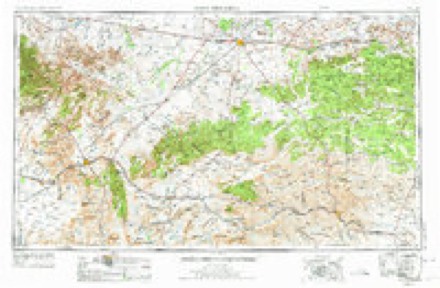
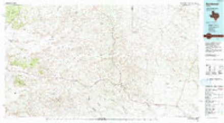
6 surveys from 10 printed sheetsMatched by testing this settlement's coordinate against the published boundary of every sheet in the United States Geological Survey's historical collection. Each opens the scanned sheet at the Survey.
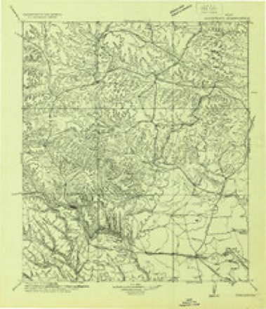
- 1928 USGS Sanderson quadrangle1:125000
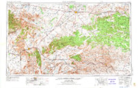
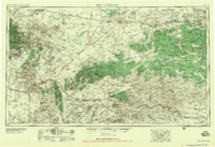
- 1954 USGS Fort Stockton quadrangle1:250000, 3 printings
- 1958 USGS Fort Stockton quadrangle1:250000
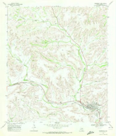
- 1969 USGS Sanderson quadrangle1:24000, 2 printings
- 1973 USGS Fort Stockton quadrangle1:250000
- 1985 USGS Sanderson quadrangle1:100000, 2 printings
Storms near this place
56 since 1995Regional context, not property-specific evidence. The National Weather Service names Sanderson in 56 storm reports between 1995 and 2022: 40 hail, 9 thunderstorm wind, 7 flash flood. The reports record 7 injuries. Each account below is quoted exactly as the forecast office filed it, from the NOAA Storm Events Database, and each date opens the federal record of that event.
| When | Event | Place named | Harm | What the report says |
|---|---|---|---|---|
| July 2005 | Thunderstorm Wind | Sanderson | 7 hurt | Damaging thunderstorm winds struck Sanderson, Texas during an Independence Day celebration. Winds blew down several large circus-style tents at the outdoor festival. Minor injuries were reported. Winds also blew two inch diameter limbs off trees. A National Weather Service cooperative observer also reported that his neighbor's trailer house was displaced about 50 feet from its original location. Nickel to quarter size hail also accompanied this storm. |
| June 1997 | Thunderstorm Wind | Sanderson | $200,000 | An HP supercell in the western part of Terrell County produced a bow echo on its southern flank as it approach Sanderson with the apex of the bow aimed at the town. Damaging winds rushed into town with torrential rains and mostly pea size hail. The most substantial damage was to a department store that had the roof blown off and the front wall collapse into the street. Signs were bent over, trees uprooted, and power poles broken. Also a large Texaco sign was blown down and dumpsters were overturned and pushed down alleys. It was evident from the damage that all the winds were blowing from the west or northwest. |
| November 1996 | Hail | Sanderson | $20,000 | The biggest hail storm to hit Sanderson in years struck on the evening of Nov 6th. Jagged hail stones were common. First reports were of 1 inch hail but the size eventually became tennis ball size. Some cars at a dealership were damaged during the storm. |
| June 1998 | Thunderstorm Wind | Sanderson | $10,000 | Thunderstorm winds destroyed a large barn on a ranch north of Sanderson. |
| May 2020 | Thunderstorm Wind | Sanderson | $8,000 | A thunderstorm moved across Terrell County and produced wind damage about 16 miles south southeast of Sheffield. A large healthy tree was blown down which damaged a truck. The cost of damage is a very rough estimate. |
| June 2004 | Hail | Sanderson | $5,000 | The Terrell County Judge reported tennis ball size hail along U.S. Highway 90 just southeast of Sanderson. |
| June 2006 | Thunderstorm Wind | Sanderson | $2,000 | The Terrell County Sheriff's Office reported that the roof was blown off of a county owned storage building. |
| September 2022 | Flash Flood | Sanderson | $1,000 | Heavy rain resulted in flash flooding in Terrell County. There was several feet of floodwater in Sanderson Canyon which resulted in evacuations. The cost of damage is a very rough estimate. |
| June 1998 | Thunderstorm Wind | Sanderson | $1,000 | Outflow winds knocked down a utility pole along U.S. Highway 90 that cut the power to all points east. |
| April 2017 | Flash Flood | Sanderson | - | Heavy rain fell across Terrell County and produced flash flooding fifteen miles south of Sheffield. Oxy USA Inc. Gas Plant said many side roads and low water crossings were inundated with over six inches of water. |
| April 2013 | Hail | Sanderson | - | A thunderstorm developed over Terrell County and produced pingpong ball sized hail one mile southeast of Sanderson. |
| April 2013 | Hail | Sanderson | - | A thunderstorm developed over Terrell County and produced half dollar sized hail three miles southeast of Sanderson. |
| May 2013 | Hail | Sanderson | - | A thunderstorm moved over Terrell County and produced dime to nickel sized hail along US 90 near Sanderson. |
| April 2013 | Hail | Sanderson | - | A thunderstorm moved over Terrell County and produced half dollar sized hail 22 miles north northeast of Sanderson. |
| March 2007 | Hail | Sanderson | - | The Terrell County Sheriff's Office reported golfball size hail falling along a 1/2 mile strip of U.S. highway 90 east of Sanderson. |
| March 2007 | Hail | Sanderson | - | The Terrell County Sheriff's Office reported golfball size hail falling east of Sanderson along U.S. Highway 90. |
| May 2006 | Hail | Sanderson | - | Penny to tennis ball size hail fell in northwestern Terrell county. |
| July 2005 | Hail | Sanderson | - | Quarter size hail accompanied the severe winds in Sanderson. |
| June 2005 | Hail | Sanderson | - | Law enforcement officials reported nickel size hail on U.S. Highway 90 along the Pecos and Terrell County line. |
| May 2004 | Hail | Sanderson | - | An isolated supercell thunderstorm moved east-southeast from near the Pecos/Terrell County line to just north of Farm to Market Road 2400. Several rural residents in northwest Terrell County reported dime to quarter size hail as the storm moved over their locations. |
| June 2004 | Flash Flood | Sanderson | - | Local officials reported high water flowing over U.S. Highway 90 west of Sanderson. |
| June 2004 | Hail | Sanderson | - | A storm spotter reported nickel to quarter size hail on the Terrell and Pecos County line along U.S. Highway 90. |
| June 2004 | Hail | Sanderson | - | A second severe thunderstorm developed near the city of Sanderson and resulted in large hail. |
| June 2004 | Hail | Sanderson | - | A supercell thunderstorm tracked southeast along U.S. Highway 90 in Terrell County. Multiple reports of large hail ranging in size from quarters to tennis balls were received between Sanderson and the Terrell County Airport. |
| July 2004 | Flash Flood | Sanderson | - | Law enforcement officials from Sanderson reported intermittent flash flooding that inundated U.S. Highway 90 from Sanderson to the Pecos County line. |
| June 2004 | Thunderstorm Wind | Sanderson | - | A trained weather spotter estimated severe thunderstorm wind gusts to 60 MPH in Sanderson. |
| June 2003 | Hail | Sanderson | - | A rancher a few miles north of Farm to Market Road 2400 in rural parts of northwest Terrell County reported three inch hail stones as a supercell thunderstorm moved across rural sections of the county. The hail stones were reported to be sporadic. |
| June 2003 | Hail | Sanderson | - | Golfball size hail was reported by a rancher a few miles north of Farm to Market Road 2400 in rural parts of northwest Terrell County. This was the second supercell thunderstorm to result in large hail at this rancher's location on the 11th. The first severe thunderstorm impacted northwest Terrell County between four and five hours earlier with up to three inch hail, and is listed previously. |
| July 2003 | Flash Flood | Sanderson | - | Thunderstorms trained across parts of Terrell County for several hours as convection developed in one of Claudette's bands along the Serranias del Burro Mountains in northern Mexico, and moved north around the back side of the storm's circulation. Radar estimated storm total precipitation of four to six inches across parts of the county were likely underestimated given the tropical nature of the environment. Flash flooding resulted in high water that covered Farm to Market Roads 2886 and 2400. |
| July 2002 | Flash Flood | Sanderson | - | Flooding was reported along Farm to Market Road 2286, 12 miles north of the intersection of Farm to Market roads 2286 and 2400. |
| June 1999 | Hail | Sanderson | - | Storm Developed in eastern Brewster County and moved to the north then merged with a multicell line. |
| June 1997 | Flash Flood | Sanderson | - | Water running across Ranch Road 2886 washed debris onto the road. |
| May 1995 | Thunderstorm Wind | Sanderson | - | Sheriff's office reported a brief tornado touchdown along U.S. Highway 90 east of Sanderson. Sixty mph winds were reported along State Highway 349 in the northeastern part of the county. A coop observer reported three-quarters-inch hail in Dryden. |
| June 1995 | Hail | Sanderson | - | Sheriff's office report. |
| October 1995 | Hail | Sanderson | - | Report from a ranch. Storm moved to the east across southern portions of the county. |
| May 1995 | Thunderstorm Wind | Sanderson | - | Reported by the public on Highway 349. |
| May 2021 | Hail | Sanderson | - | no account filed |
| May 2021 | Hail | Sanderson | - | no account filed |
| May 2021 | Hail | Sanderson | - | no account filed |
| March 2017 | Hail | Sanderson | - | no account filed |
| April 2016 | Hail | Sanderson | - | no account filed |
| May 2016 | Hail | Sanderson | - | no account filed |
| May 2016 | Hail | Sanderson | - | no account filed |
| June 2016 | Hail | Sanderson | - | no account filed |
| June 2016 | Hail | Sanderson | - | no account filed |
| May 2014 | Hail | Sanderson | - | no account filed |
| May 2014 | Hail | Sanderson | - | no account filed |
| May 2014 | Hail | Sanderson | - | no account filed |
| April 2006 | Hail | Sanderson | - | no account filed |
| June 2005 | Hail | Sanderson | - | no account filed |
| June 2003 | Hail | Sanderson | - | no account filed |
| May 2002 | Hail | Sanderson | - | no account filed |
| April 2002 | Hail | Sanderson | - | no account filed |
| June 2002 | Hail | Sanderson | - | no account filed |
| November 2001 | Hail | Sanderson | - | no account filed |
| October 1998 | Hail | Sanderson | - | no account filed |
Nearest settlements
The eight closest, with where each one stands in the county. Distances are straight-line, computed from the Geographic Names Information System coordinates.
| Map | Place | Distance | Sheets |
|---|---|---|---|
| Emerson | 7.6 miles | 10 | |
| Mofeta | 10.8 miles | 9 | |
| Dryden | 16.3 miles | 9 | |
| Shaw | 22.0 miles | 9 | |
| Dryden Crossing | 26.3 miles | 10 | |
| Watkins (historical) | 26.3 miles | 8 | |
| Malvado | 30.4 miles | 8 | |
| Casa de Peidras | 32.2 miles | 8 |
Elsewhere
Matched on this settlement's Geographic Names Information System number rather than its name, so it cannot be a different place of the same name in another state.
| Wikipedia article on Sanderson | An encyclopaedic summary. Its text is share-alike, so it is linked here rather than copied. |
| Wikidata item Q982094 | The structured record the population and elevation above come from. Public domain (CC0). |
Provenance
This settlement is recorded in the Geographic Names Information System as feature 1346563. The sheet list is computed by point-in-boundary test against the United States Geological Survey's historical topographic inventory. Both are works of the United States government and carry no copyright under 17 U.S.C. 105.
Storms. NOAA National Centers for Environmental Information, Storm Events Database https://www.ncei.noaa.gov/stormevents/ A work of the United States government, no copyright under 17 U.S.C. 105. Narratives are quoted verbatim from the National Weather Service report and are not edited or summarised.