 Block
BlockFrom the record
6 National Register listings published here, 1 of them a National Historic Landmark.
Sources: the National Register database, National Park Service
57 topographic sheets cover 32 settlements here, and 6 properties are on the National Register of Historic Places.
6 National Register listings published here, 1 of them a National Historic Landmark.
Sources: the National Register database, National Park Service
Every property in this county listed on the National Register of Historic Places, with the year it was listed and the federal nomination document.
| Photograph | Property | Type | Listed | Reference |
|---|---|---|---|---|
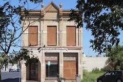 | First National Bank | building | 2014 | 14000106 |
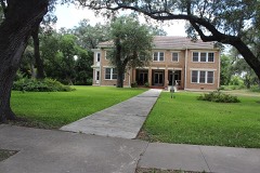 | John Nance Garner House | building | 1976 | 76002074 |
 | Grand Opera House | building | 1978 | 78002996 |
 | Nicolas Street School | building | 2010 | 10000963 |
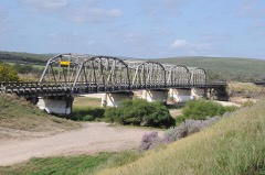 | State Highway 3 Bridge at the Nueces River | structure | 1996 | 96001108 |
 | Uvalde Downtown Historic District | district | 2019 | 100004009 |
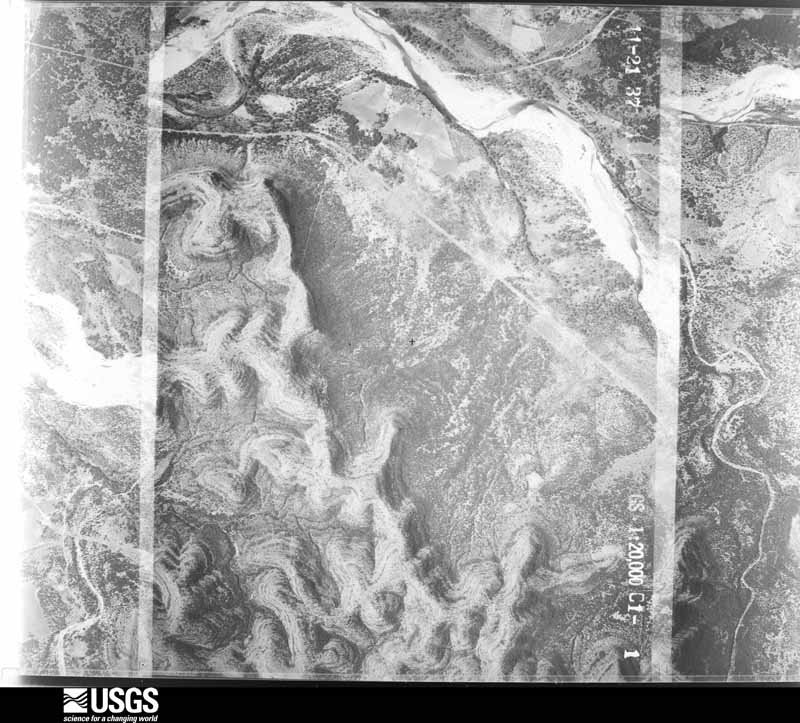
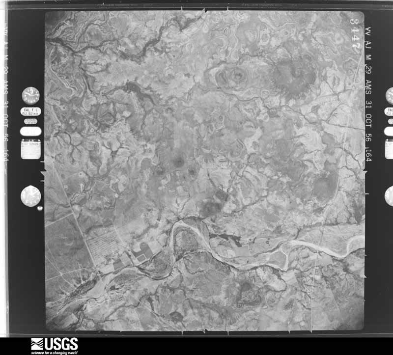
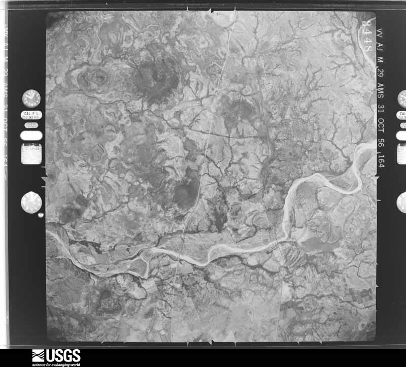
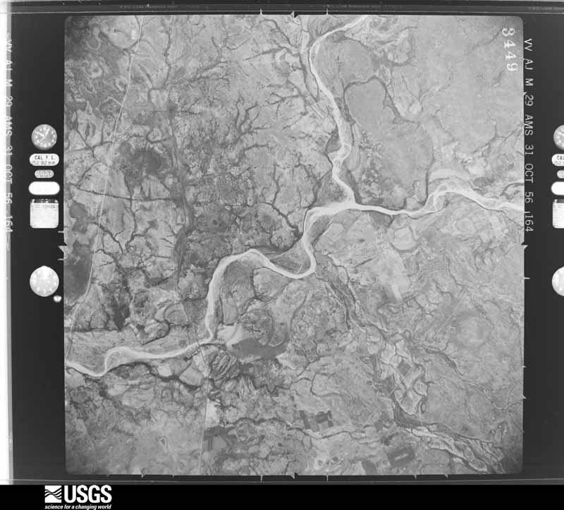
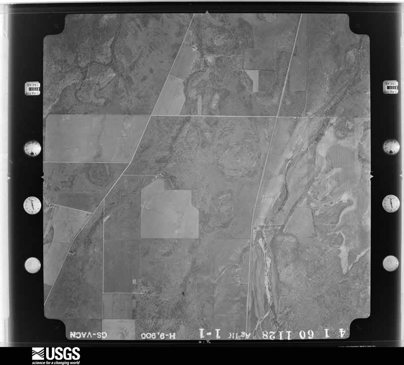
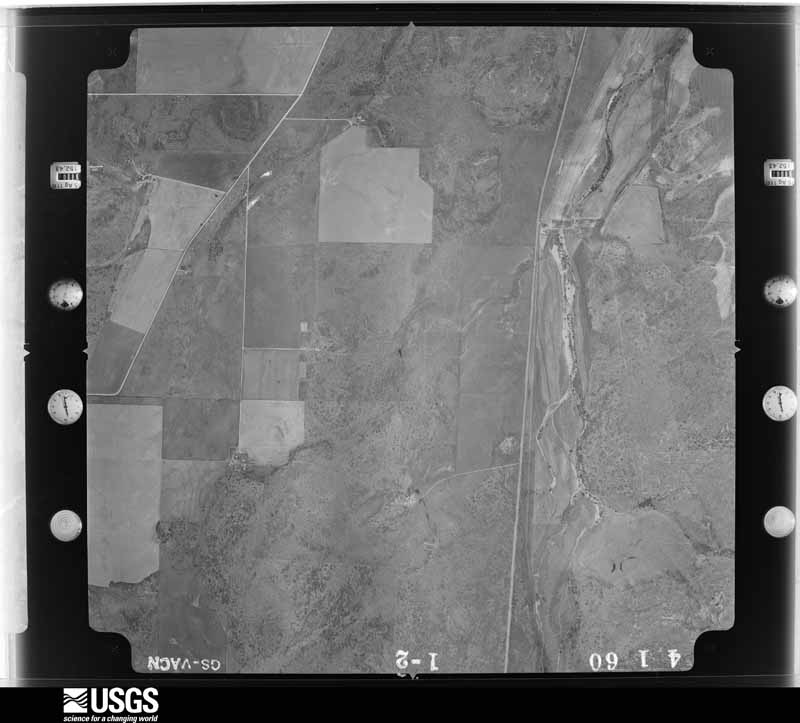
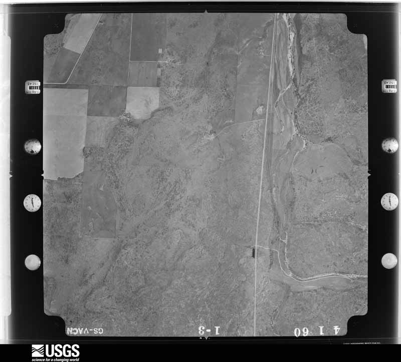
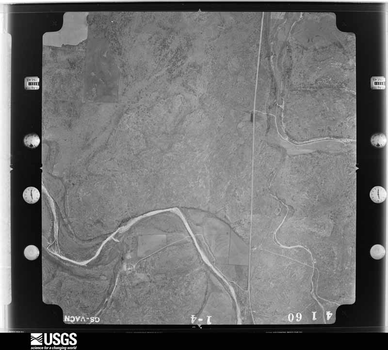
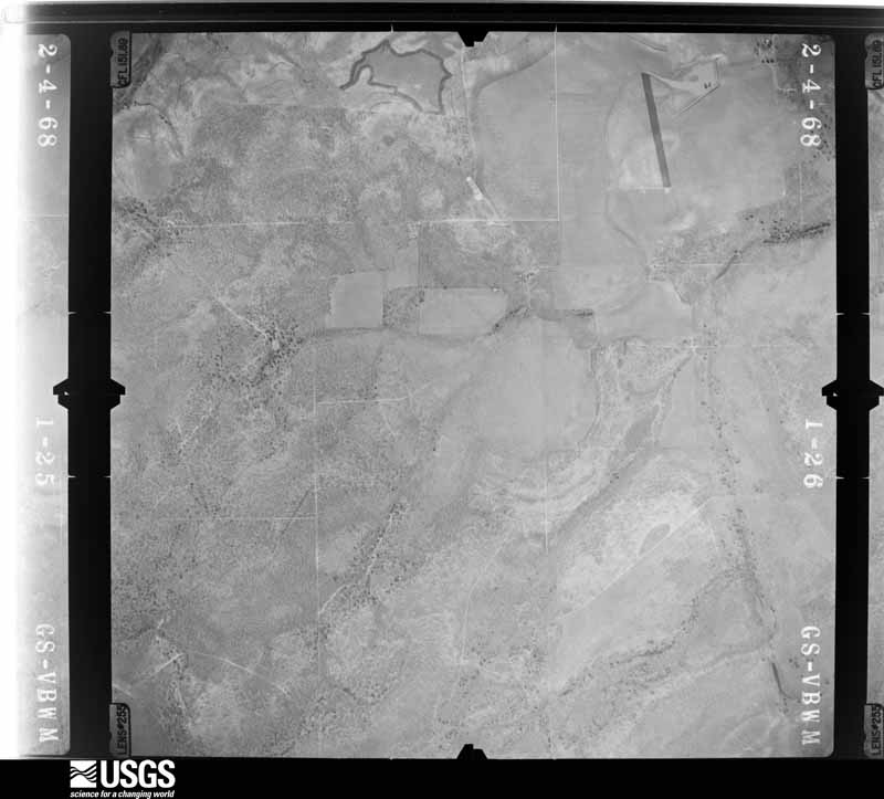
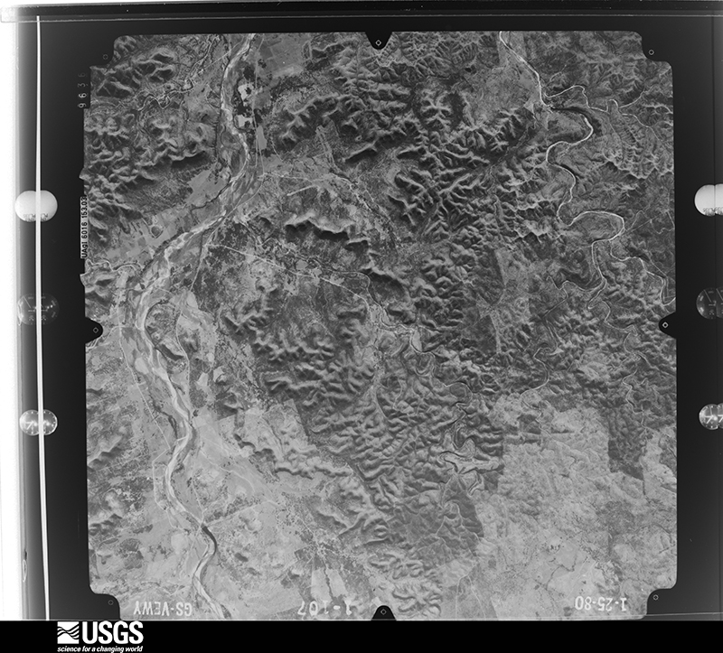
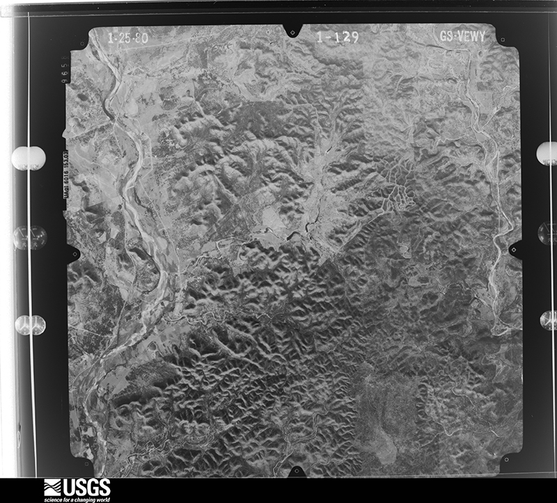
Flown by the U.S. Geological Survey between 1937 and 1989, the Aerial Photo Single Frames collection is the definitive mid-century view of the land: fields, roads and rivers as the camera saw them. The Survey holds 1,238 frames inside the rectangle that bounds this county; the 44 frames below were taken over the county itself, chosen across the decades of flights (at most four a year from that rectangle), so one flight cannot crowd out the rest. The full set is free to browse and download at EarthExplorer under the dataset Aerial Photo Single Frames.
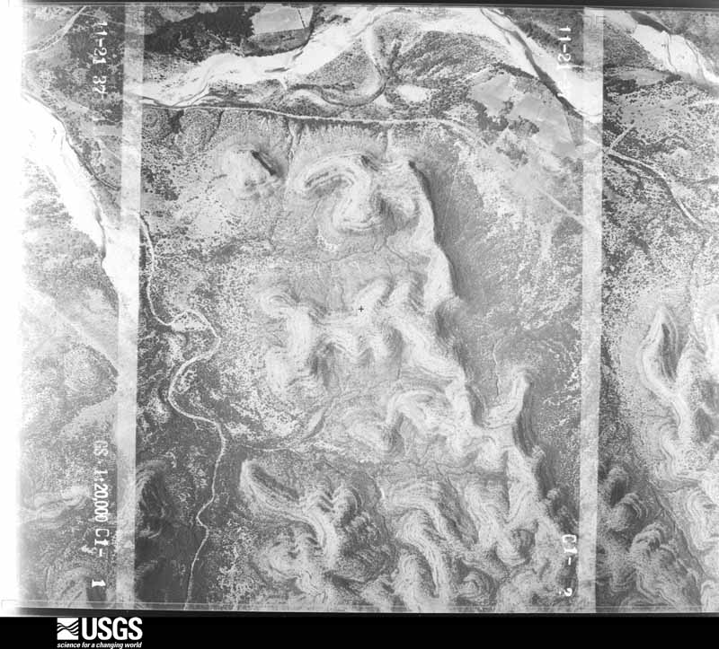
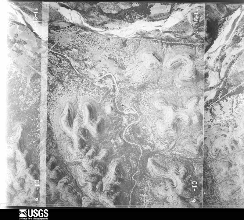
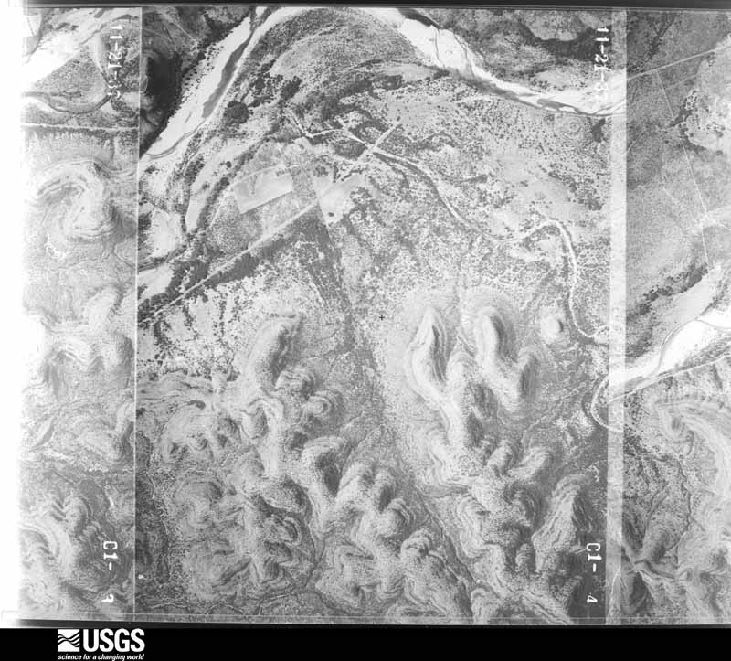
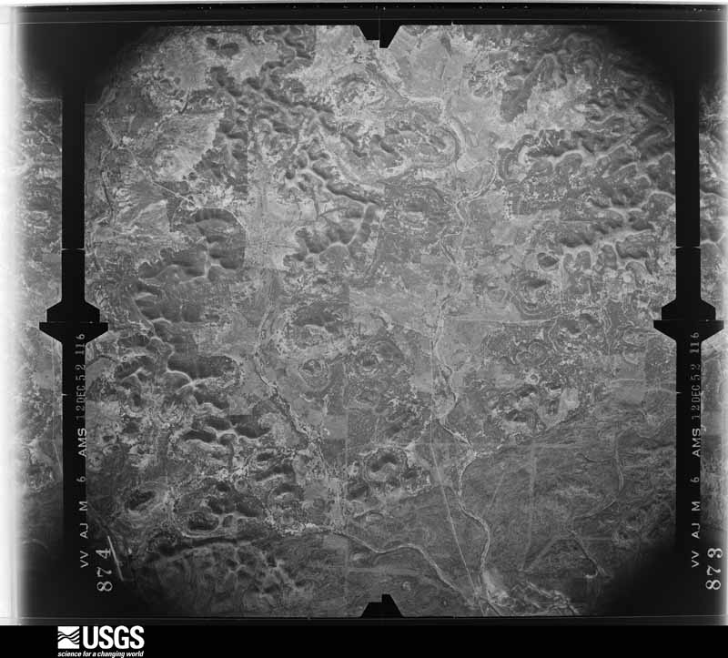
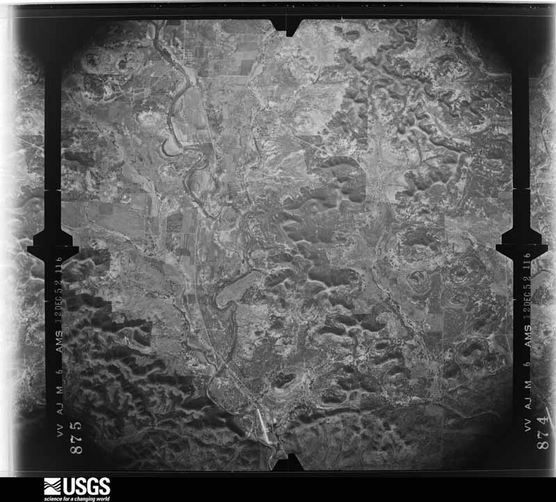
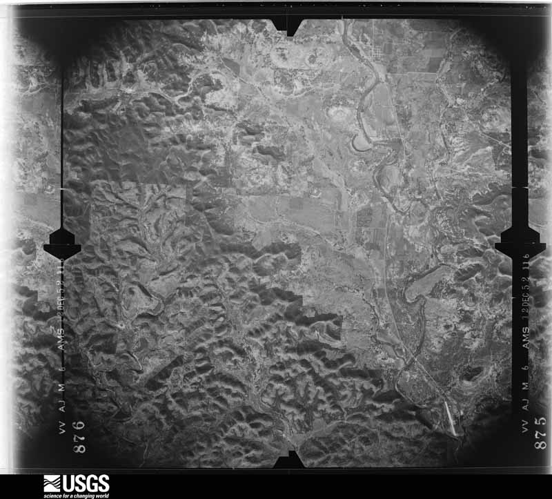
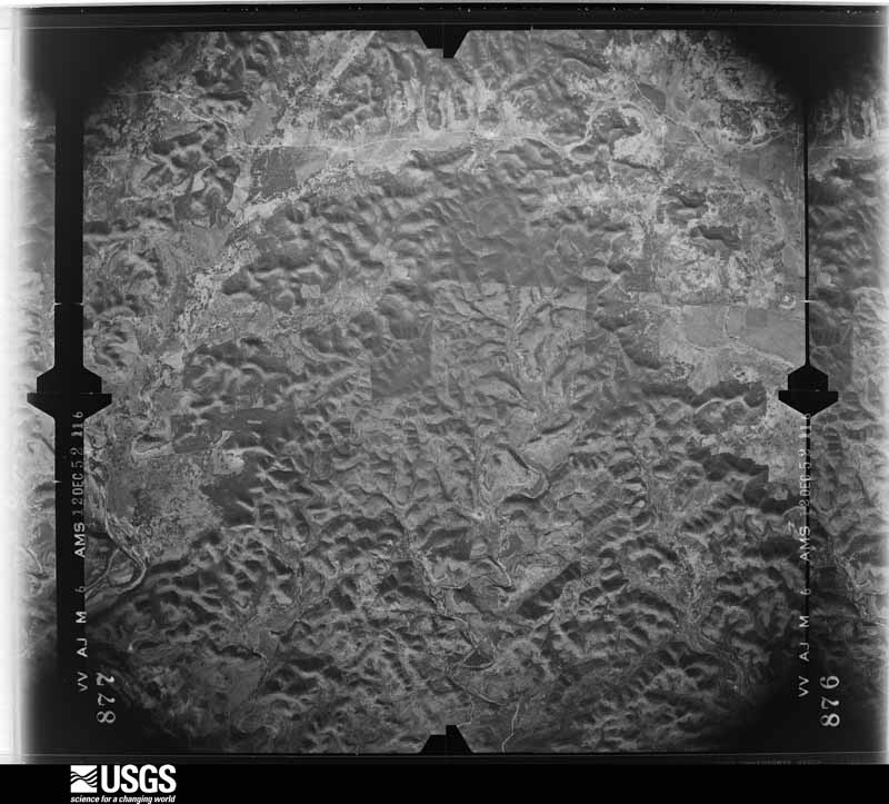
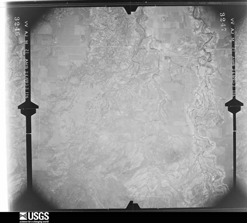
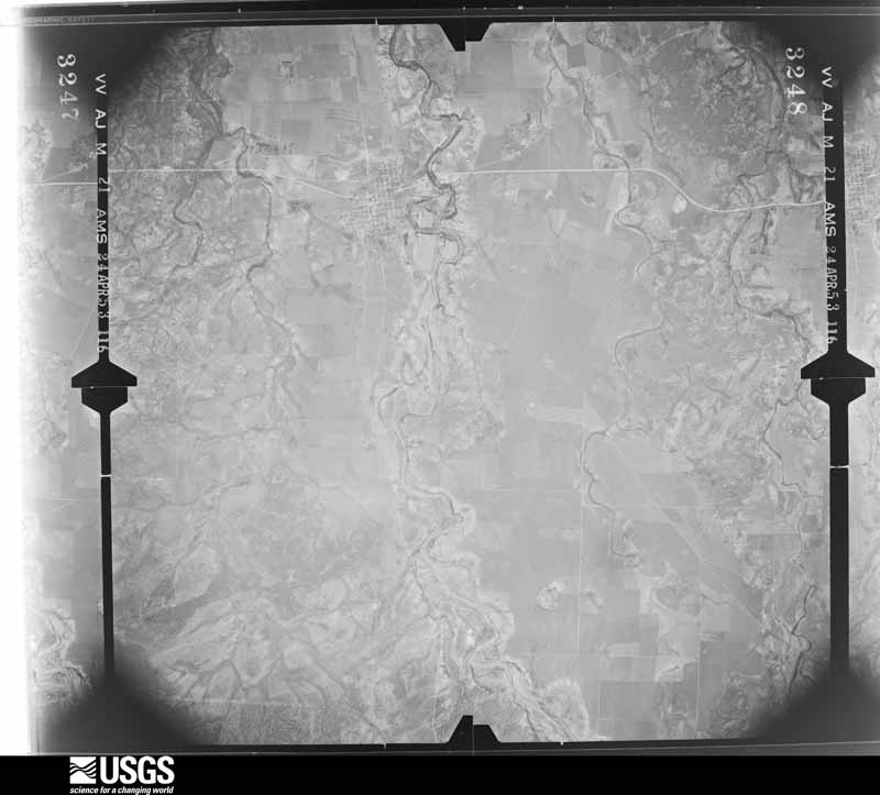
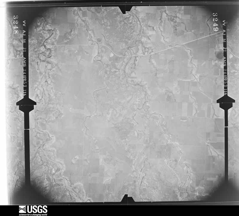
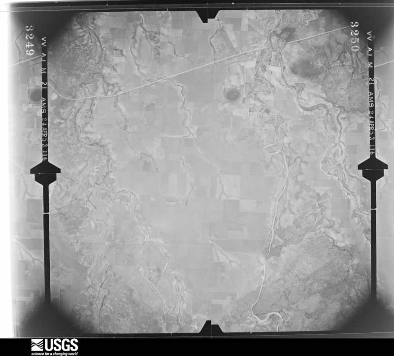
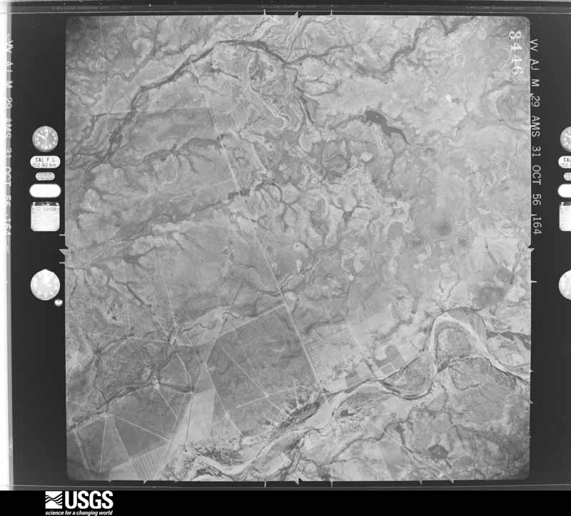
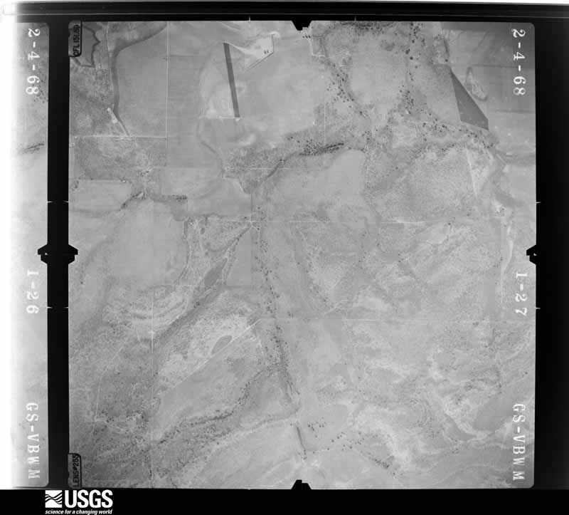
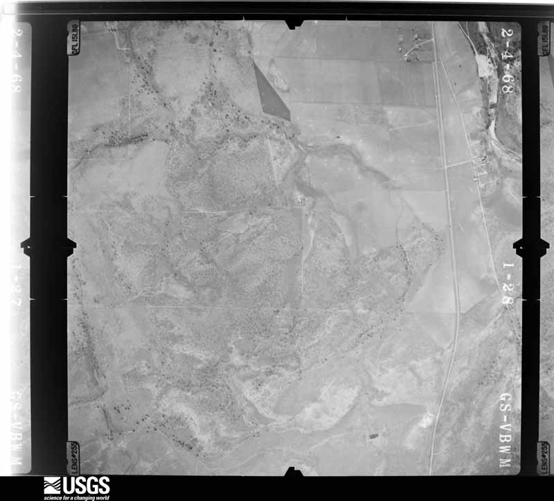
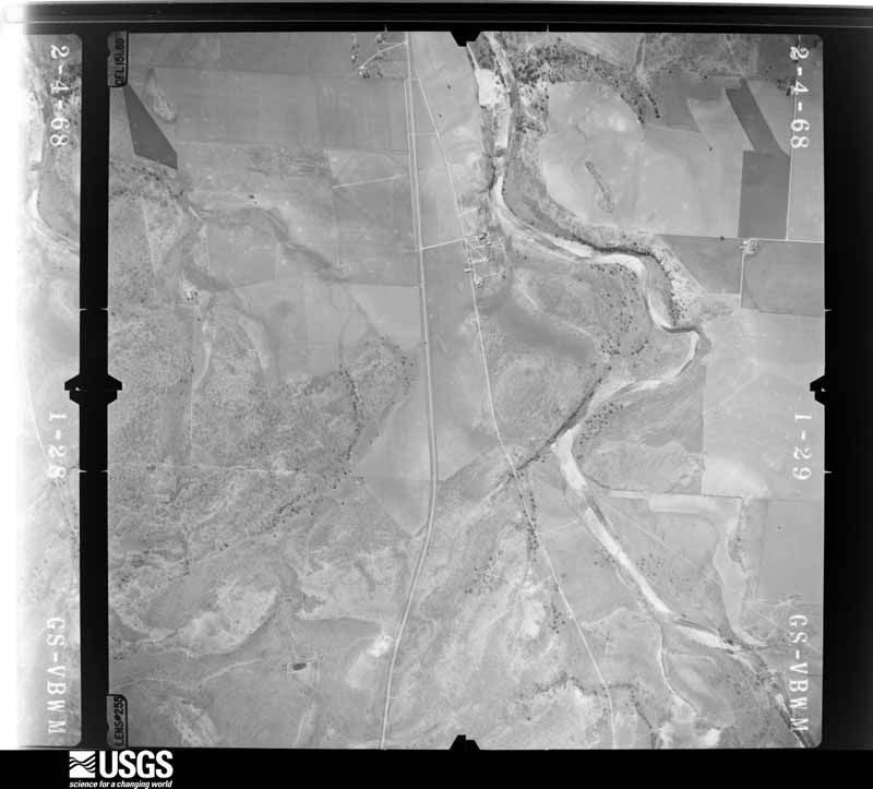
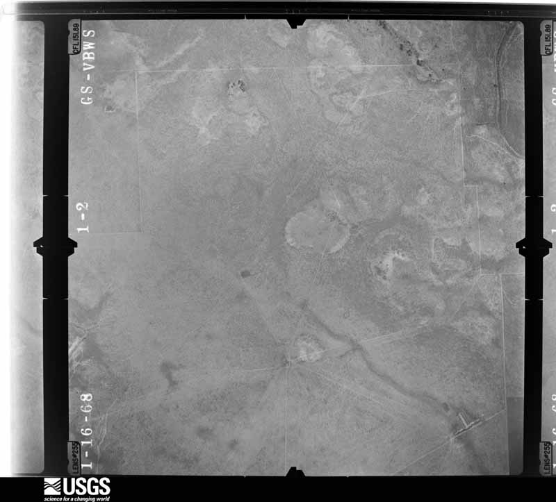
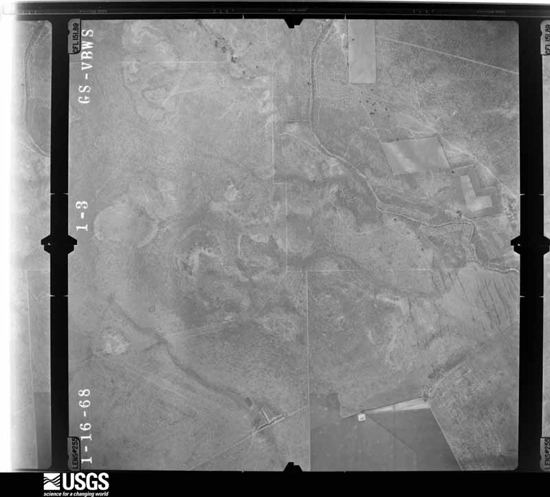
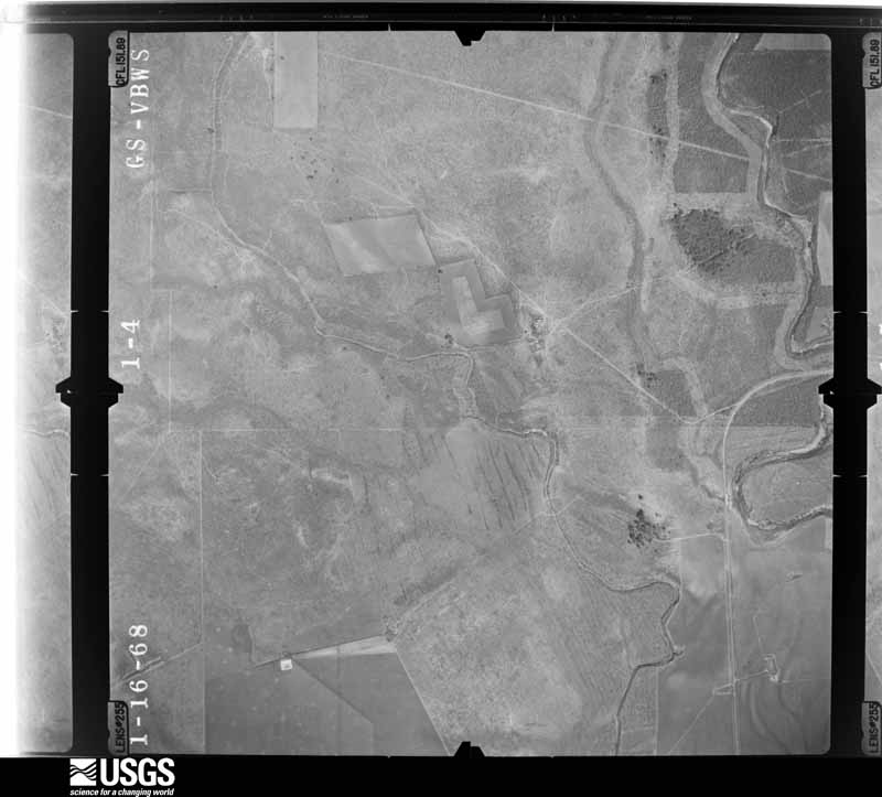
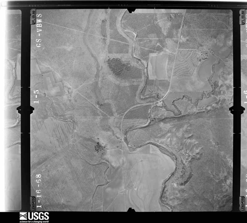
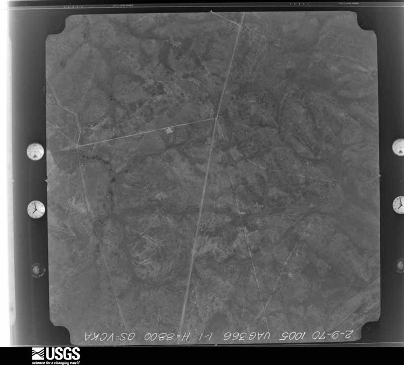
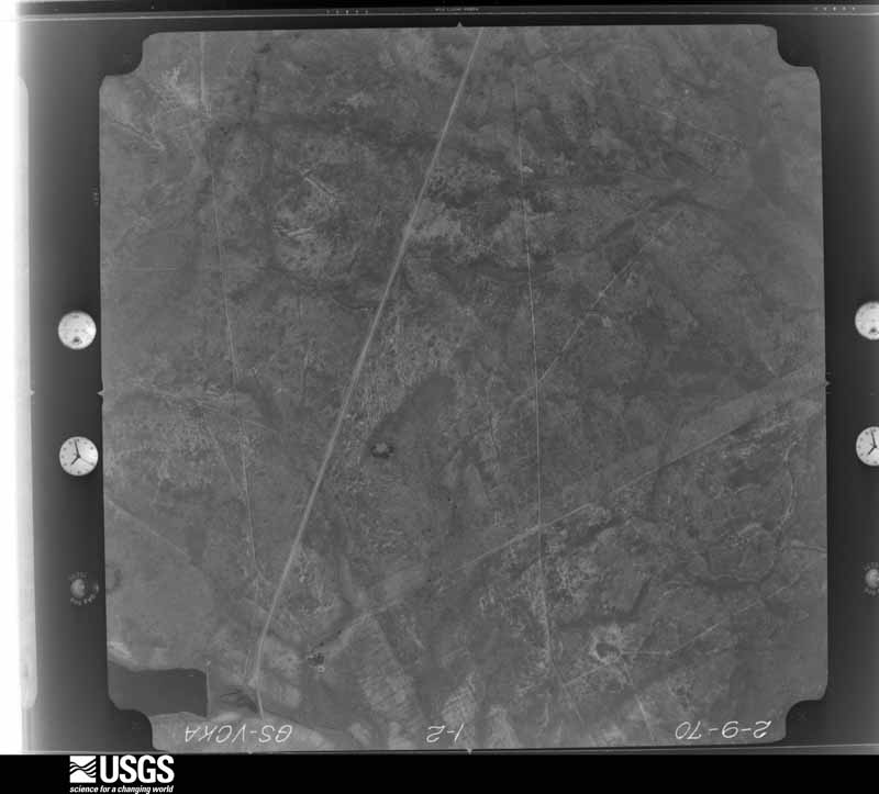
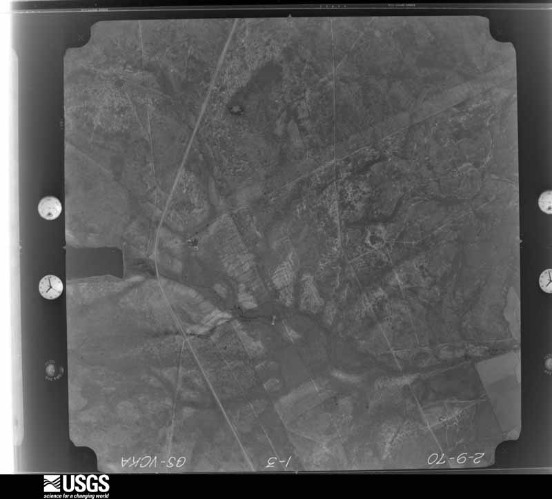
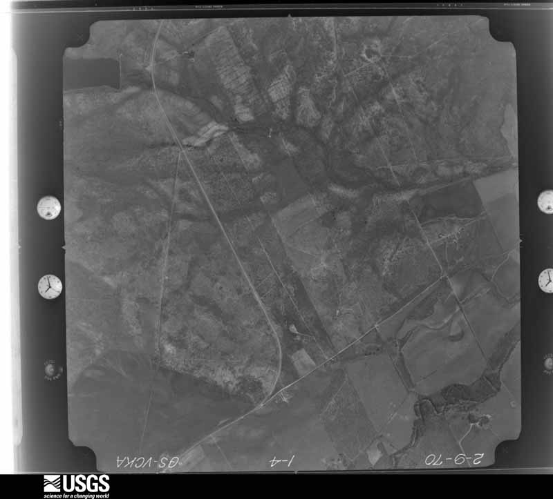

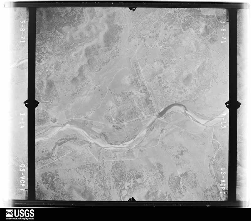
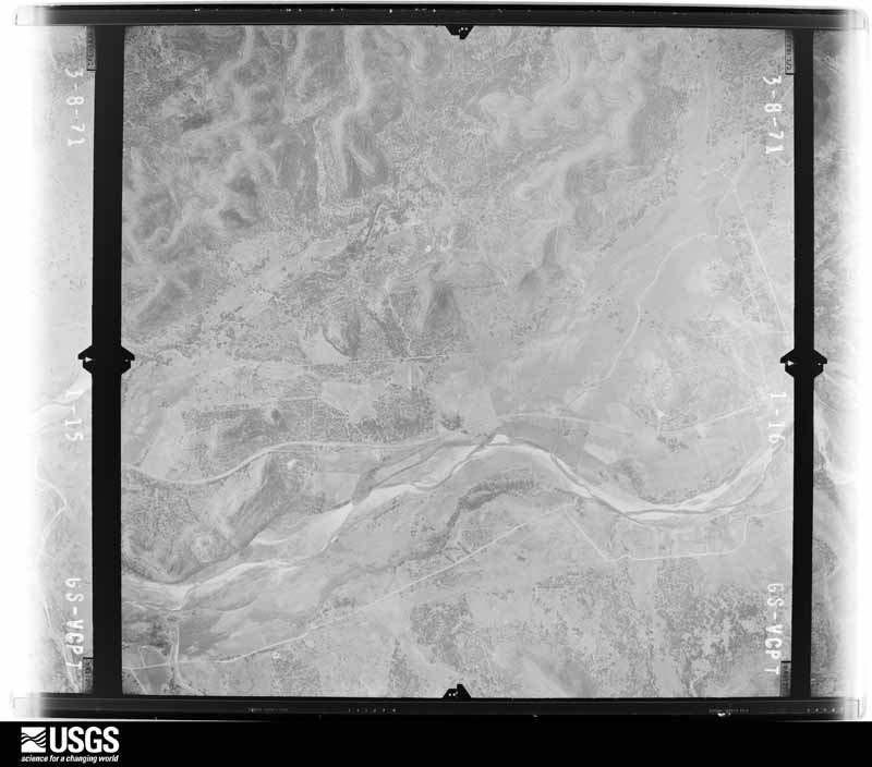
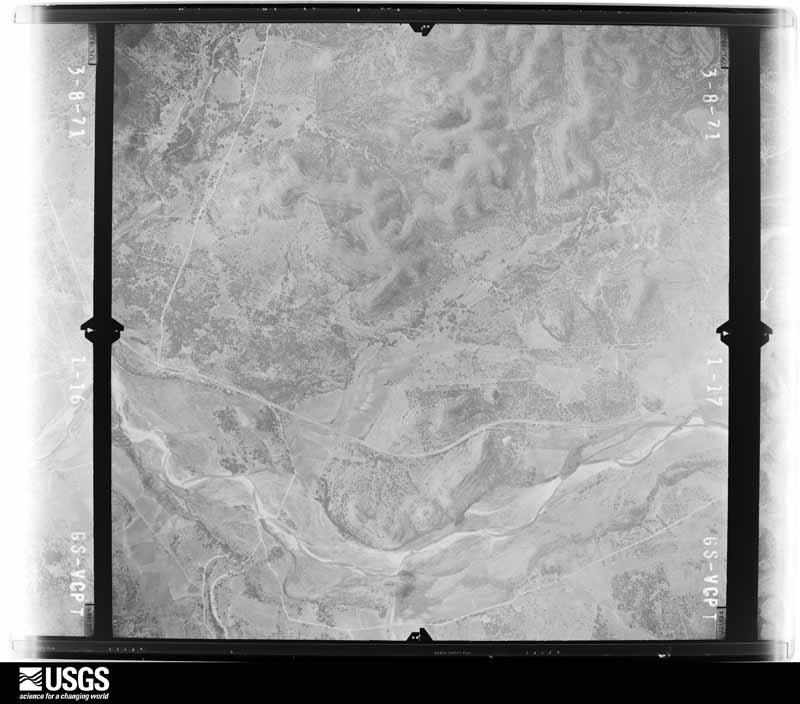
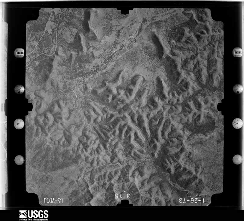
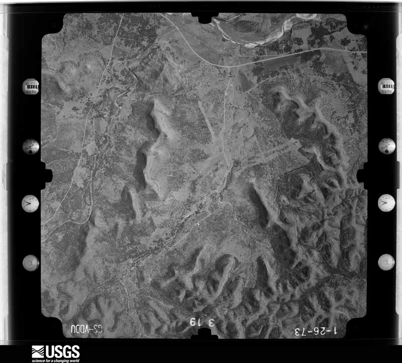
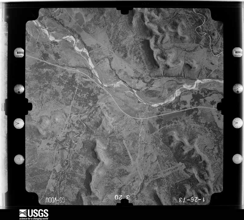
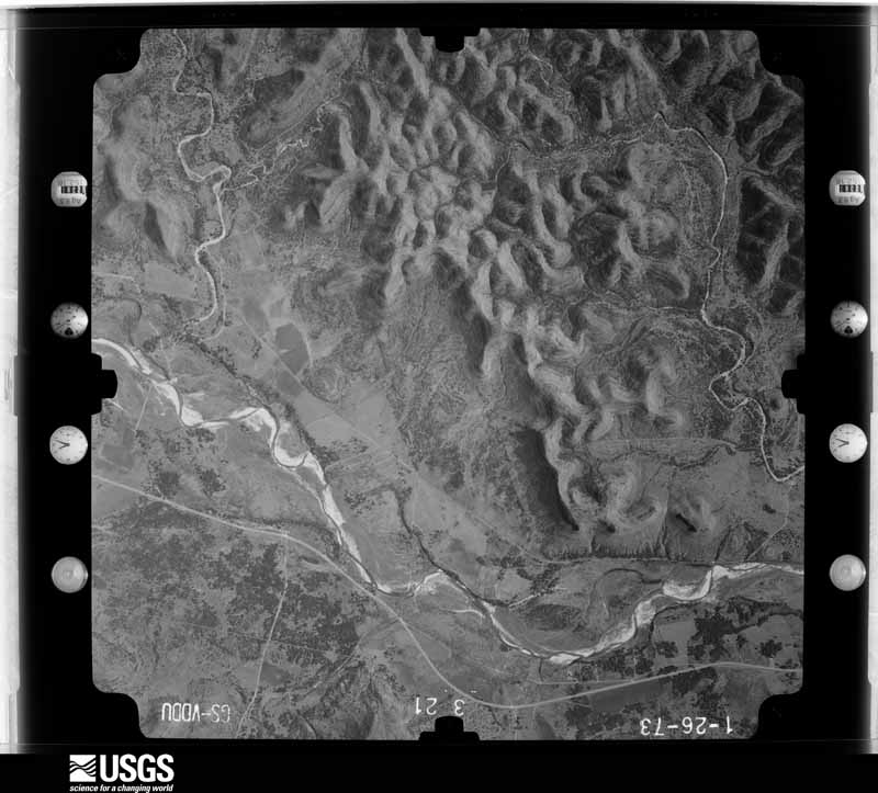
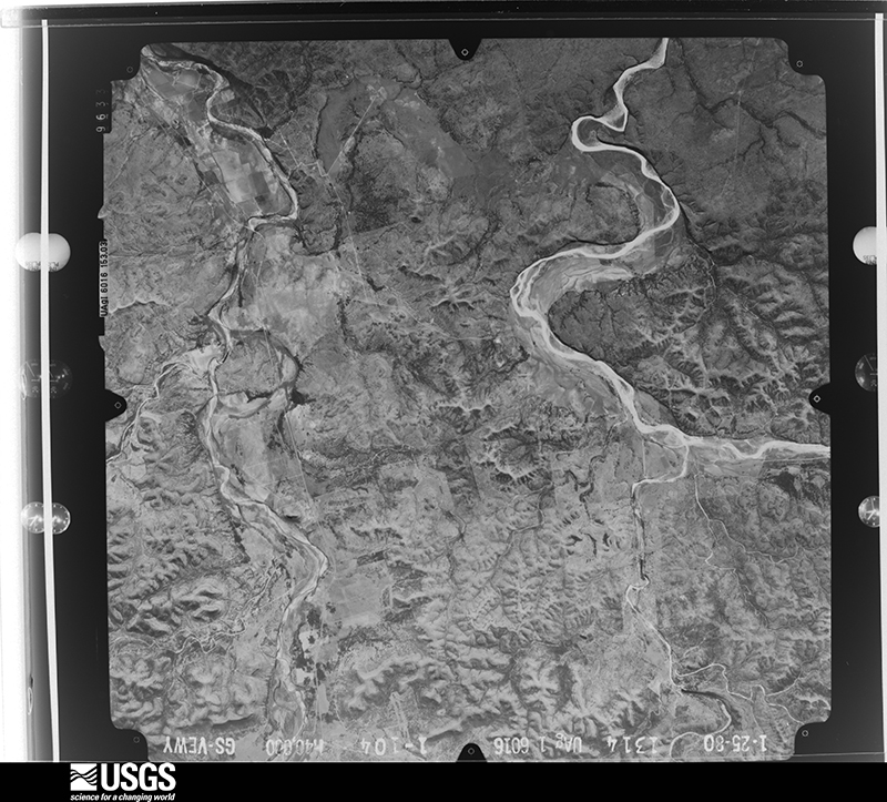
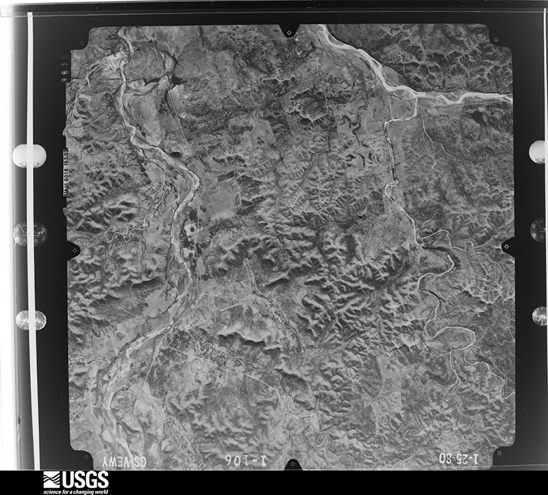
The thermometers that kept this county's weather, and the gages that measured the flow of its streams, as the federal records hold them. The extremes below are measured values from those records, not estimates.
Who lived here in 1950, one enumeration district at a time, as the Census Bureau described each district. Each row opens its official National Archives result, with Population Schedules and ED Maps available there.
Every wildfire the federal occurrence database records inside this county: 422 of them, burning about 11,447 acres. 6 started naturally and 4 were recorded as arson. Each settlement page carries the fires within five miles of it.
| Reported cause | Fires |
|---|---|
| Debris and open burning | 227 |
| Equipment and vehicle use | 67 |
| Smoking | 63 |
| Missing data/not specified/undetermined | 41 |
| Natural | 6 |
| Arson/incendiarism | 4 |
| Recreation and ceremony | 4 |
| Misuse of fire by a minor | 3 |
| Railroad operations and maintenance | 3 |
| Power generation/transmission/distribution | 3 |
| Other causes | 1 |
The five largest, by the area the report gives. None of them was recorded as arson.
| Date | Cause | Size | Reported by | Name on the report |
|---|---|---|---|---|
| 7 April 2006 | Debris and open burning | 2,500 acres | Texas A & M Forest Service | MONTELL |
| 7 April 2006 | Debris and open burning | 2,000 acres | Texas A & M Forest Service | UTOPIA |
| 6 February 2006 | Smoking | 775 acres | Texas A & M Forest Service | not named |
| 2 February 2006 | Smoking | 775 acres | Texas A & M Forest Service | not named |
| 26 January 2008 | Debris and open burning | 500 acres | Texas A & M Forest Service | not named |
| 28 July 2009 | Equipment and vehicle use | 400 acres | Texas A & M Forest Service | CONCAN |
| 26 February 2008 | Equipment and vehicle use | 325 acres | Texas A & M Forest Service | not named |
| 25 February 2008 | Missing data/not specified/undetermined | 231 acres | Texas A & M Forest Service | KNIPPA |
Every settlement page carries the fires within five miles of it - see the settlement index below.
The NOAA Storm Events Database holds 415 reports for this county, causing 2 deaths, 71 injuries and about $6,800,500 in recorded property damage. Each settlement page carries the reports that name it.
| Kind of event | Reports |
|---|---|
| Hail | 169 |
| Flash Flood | 138 |
| Thunderstorm Wind | 81 |
| Tornado | 14 |
| Flood | 8 |
| Funnel Cloud | 5 |
The most serious of them, by death, then injury, then recorded damage. The accounts are quoted exactly as the forecast office filed them.
| When | Event | Place named | Harm | What the report says |
|---|---|---|---|---|
| October 1998 | Flash Flood | Countywide | 1 killed, $10,000 | no account filed |
| October 2018 | Flood | Sabinal | 1 killed | Thunderstorms produced heavy rain that led to flooding of the Sabinal River. At Sabinal the river crested at 15.34 feet late on 10/9/18. Flood stage is 12 feet. It dropped below flood stage early on the 10th. A truck was washed away on RR 187 at a low water crossing that remained flooded south of Sabinal at 1:50 am Oct 12. A man in his 20s was killed and his body was found approximately one mile from the river crossing. |
| June 1997 | Flash Flood | Countywide | 50 hurt, $1,000,000 | no account filed |
| August 1998 | Flash Flood | Countywide | 10 hurt, $150,000 | no account filed |
| March 2004 | Flash Flood | East Portion | 6 hurt, $30,000 | The weak cold front continued to move southeastward, with showers and thunderstorms developing in Uvalde County near 1800CST. Heavy rainfall over the eastern part of the county produced general 1 inch rainfall with up to 3 inches in the Garner Park area. Six persons were safely rescued from two separate vehicles that were swept into the Sabinal river along Hwy127 near 2000CST. |
| August 2018 | Flash Flood | Laguna | 3 hurt, $100,000 | Thunderstorms produced heavy rain that led to flash flooding. Based on radar estimates, 8-11 inches of rain fell in a three hour period across northwestern Uvalde County. Many low water crossings flooded across this area, and Highway 55 was closed from Uvalde to Camp Wood. A flood wave traveled down the Nueces River and through the Chalk Bluff camp ground. Several people from the camp ground became stranded in trees and on roof tops of vehicles, and some were reported swept downstream. Twenty-seven people were successfully rescued from the flood waters by boats and helicopter. One person was treated for a head injury and two children were treated for hypothermia. Estimated monetary loss of one hundred thousand dollars based on flooded cars and trailers that were lost downstream. |
| March 2002 | Hail | Sabinal | 1 hurt, $50,000 | A boy who had been bow-hunting outdoors was hit by the large hail. He was knocked unconscious, but recovered shortly after being taken to a hospital. |
| September 1996 | Tornado (F2) | Utopia | 1 hurt, $20,000 | no account filed |
| March 2006 | Thunderstorm Wind | Uvalde | $2,000,000 | During the late evening, a severe thunderstorm struck just south of the Uvalde downtown area. The damage began five miles southwest of Uvalde and continued south of the town to 7 miles east of the Uvalde airport. The most widespread of the damage was southwest of the city in the Uvalde estates area. Nearly all debris was reported by emergency management to have blown toward the east in an area approximately 3 miles wide and 5 miles long. Damage in this area included damage to about 100 homes and mobile homes. Many of the mobile homes were overturned or rolled and destroyed, with some of the damage occurring while occupants were still inside their mobile homes. Scores of roofs were damaged or destroyed and hundreds of trees were knocked over, with pieces of sheet metal, aluminum, tree branches and broken glass everywhere. Miraculously, there were no deaths and no serious injuries. The type of damage and the fact that nearly all the debris was blown toward the east indicates that nearly all of this damage was due to severe thunderstorm winds. Wind speeds in this event were estimated to be between 80 and 90 mph. This wind damage became spotty as the storm continued eastward...moving just south of the Uvalde downtown area. |
| March 2006 | Tornado (F2) | Uvalde | $1,500,000 | The most severe level of damage was located approximately 5 miles to the east of the Uvalde airport along Agape Road. This was due to a combination of both severe thunderstorm winds and a strong tornado. The wind damage, which had ended just south of Uvalde, once again was observed beginning just west of the Agape area by the team. The damage continued toward the east nearly one quarter mile to the Agape compound. Roof damage was noted at the first buildings, along with widespread damage to trees. Continuing to the east, the team found a mobile home that had been completely destroyed with the debris deposited about 30 yards to the south. This was the first time damage had been thrown in any direction except to the east and is believed to be just east of the starting point of the tornado. About 50 yards further to the east, an asphalt road was observed to have chunks of the topping removed and tossed toward the southeast. Very nearby, a large three-story concrete and steel-beam gymnasium valued at one million dollars had been gutted by the storm. The windward, west side was not blown inward as would have occurred with severe thunderstorm winds. Instead, it was pulled outward. A 40-foot steel beam had been bolted in a dozen different places to the building. The beam was pulled from the building and thrown back 15 feet to the northwest. Although many of the supporting steel beams held, several were pulled away and tossed. Concrete blocks, filled solid with concrete in their construction, had been ripped out of the building and lay tossed and strewn over the area. Much of the wall structure was destroyed. Pieces of sheet metal were strewn to the east and southeast for nearly one half mile. Additional damage to vegetation stretched for another 2 miles east of the gymnasium. Some of this damage was clearly due to severe thunderstorm winds and some of the damage was due to the tornado. Based on the level of damage of the mobile home and the gymnasium, the tornado was rated F2. The path width was estimated at 50 yards and the path length was estimated at 2 miles. From the reports available, it is thought the tornado developed about 1020 pm CST and dissipated around 1025 pm CST. It is the strongest tornado in South Central Texas since the evening of October 12, 2001, when an F3 tornado struck Stonewall, and an F2 tornado struck Hondo. |
| March 2002 | Thunderstorm Wind | Countywide | $250,000 | Severe winds caused spotty damage, mainly in the eastern half of Uvalde County, where they knocked down trees, blew down a dozen power lines, and caused damage to roofs in the area. Damage was also reported to windows in the eastern part of the county. |
| March 2002 | Hail | Uvalde | $250,000 | Large hail, propelled by high winds, caused widespread damage to roofs and glass in the east part of the county. |
| August 1998 | Flash Flood | Countywide | $200,000 | no account filed |
| June 1997 | Thunderstorm Wind | Uvalde | $100,000 | A severe thunderstorm downburst partially collapsed a dormitory roof at Southwest Texas Junior College in Uvalde. Emergency personnel reported trees uprooted and branches scattered around the city after the thunderstorm ended. |
| May 2001 | Thunderstorm Wind | Countywide | $80,000 | Damage was reported to trees, with power lines knocked over throughout Uvalde County. |
| March 1999 | Thunderstorm Wind | Concan | $80,000 | no account filed |
| August 2001 | Thunderstorm Wind | Countywide | $70,000 | no account filed |
| March 1999 | Hail | Montell | $60,000 | no account filed |
| June 2025 | Thunderstorm Wind | Sabinal | $50,000 | A thunderstorm produced wind gusts estimated at 70 mph. A Cooperative Observer in Sabinal reported widespread thunderstorm wind damage including broken power poles, downed trees, damaged and destroyed outbuildings, and roof damage to homes. |
| June 2023 | Thunderstorm Wind | Knippa | $50,000 | Thunderstorms produced wind gusts estimated at 70 mph north of Uvalde. The winds knocked down trees onto powerlines. |
| October 2002 | Flash Flood | Countywide | $50,000 | As the showers and thunderstorms spread into Uvalde County from the west, they produced a general 1 inch rainfall, with widespread 2 inch amounts over the eastern part of the County. Isolated locations in the east central part of the County reported up to 4 inches of rain. Flash flooding began in the early morning hours and continued until nearly noon. Damage was mainly to roads and bridges in the eastern part of Uvalde County. |
| October 2001 | Thunderstorm Wind | Sabinal | $50,000 | The damage in the Sabinal area was due to a combination of severe thunderstorm wind downburst followed very quickly by a tornado. The strong winds struck the town first, damaging roofs of mobile homes and buildings and knocking limbs out of trees. A few trees were uprooted. The wind gusts were estimated at 70 miles an hour. The wind damage path was essentially square-shaped, between 4 and 5 miles on each side, and oriented from southwest to northeast. Following the wind, heavy rain was reported, along with small hail. |
| February 2001 | Thunderstorm Wind | Uvalde | $40,000 | Severe thunderstorm winds struck near Uvalde, destroying two mobile homes and knocking down several trees and utility poles. |
| October 2002 | Flash Flood | South Portion | $30,000 | Scattered showers and thunderstorms began forming between Uvalde and Hondo just before midnight, with rain rates of up to 2 inches an hour. These storms produced general rain amounts between 1 and 2 inches over southern Uvalde County, with isolated totals to 6 inches in the southeast corner of the county. Flash flooding that began shortly after midnight ended prior to sunrise. |
| October 2001 | Tornado (F0) | Sabinal | $30,000 | The severe thunderstorm ended quickly and a tornado was spotted at 840 pm CST by a trained Skywarn spotter. It was approximately 100 yards wide and occurred 5 miles north of Sabinal mostly in open country. It tracked for .5 miles toward the southeast, causing minor damage to two homes. It was rated F0 on the Fujita Scale. No injuries were reported. |
| March 1999 | Tornado (F1) | Concan | $30,000 | Heavy rain and damaging winds preceded a small and short-lived tornado that knocked down trees and blew over power lines northeast of Concan. The path of the severe winds continued northeastward, knocking over trees in Garner Park. |
| June 1998 | Thunderstorm Wind | Uvalde | $30,000 | A severe downburst knocked over numerous large tree limbs. The wind also knocked out power lines in the Uvalde area. |
| September 1997 | Thunderstorm Wind | Uvalde | $30,000 | no account filed |
| June 2013 | Tornado (EF0) | Knippa | $25,000 | A brief tornado produced some tree and roof damage. Winds were estimated to be 85 mph at the peak of the tornado. |
| March 2020 | Thunderstorm Wind | Concan | $20,000 | A thunderstorm produced wind gusts estimated at 80 mph in Concan. Half of the metal roof was peeled off a house, numerous large tree branches were torn off live oak trees, and a trailer was blown over. |
| May 2020 | Thunderstorm Wind | Utopia | $20,000 | A thunderstorm produced wind gusts estimated at 80 mph in Utopia. The winds knocked down a tree that blocked Jones Cemetery Rd. and damaged several houses in the area called Seco Ridge. Roofs, patio covers, and sheds were damaged. |
| October 2003 | Flash Flood | West Portion | $20,000 | As the showers and thunderstorms continued spreading eastward from Kinney County, they moved into Uvalde County in the early evening. The storms were most active in the western part of the county, where they produced general 1 inch rain amounts, with isolated totals to 3 inches. Several roads were closed by late evening and remained closed due to the flash flooding until past midnight. Damages were confined to roads in the western part of the county. |
| September 2002 | Flash Flood | Countywide | $20,000 | General 2 inch rainfall with isolated totals to 4 inches. Minor damage to roads and bridges. |
| May 2001 | Flash Flood | North Portion | $20,000 | no account filed |
| October 2000 | Flash Flood | North Portion | $20,000 | no account filed |
| March 1999 | Thunderstorm Wind | Concan | $20,000 | no account filed |
| January 1998 | Flash Flood | Countywide | $20,000 | no account filed |
| May 2001 | Flash Flood | North Portion | $15,000 | no account filed |
| June 1999 | Flash Flood | North Portion | $15,000 | no account filed |
| April 2025 | Thunderstorm Wind | Uvalde Garner Arpt | $10,000 | A thunderstorm produced wind gusts estimated at 65 mph that damaged a building, a line of trees, billboards, and overturned agricultural water pivots northeast of Uvalde. |
| June 2023 | Thunderstorm Wind | Uvalde | $10,000 | A thunderstorm produced wind gusts estimated at 70 mph that knocked down a tree in Uvalde. The tree fell onto a house at Garden St. and High St. and caused the roof to collapse. |
| May 2020 | Thunderstorm Wind | Uvalde | $10,000 | A thunderstorm produced wind gusts estimated at 65 mph that knocked down tree limbs and power lines in Uvalde. |
| May 2013 | Thunderstorm Wind | North Uvalde | $10,000 | A thunderstorm produced wind gusts estimated at 70 mph that snapped six power poles and downed large trees. |
| July 2003 | Flash Flood | Southeast Portion | $10,000 | Showers and thunderstorms spreading westward from Medina County into Uvalde and Frio Counties produced general 1 to 2 inch accumulations over the southeast corner of Uvalde County. Embedded in these amounts were isolated accumulations of 5 to 6 inches. Flash flooding continued from morning into late afternoon. |
| November 2001 | Flash Flood | North Portion | $10,000 | Rainfall of 2 to 3 inches over the northern portion of Uvalde County caused flash flooding through the early evening. Maximum totals were nearly 5 inches along the Edwards County line just south of Rocksprings. Minor damage to roads and bridges was indicated. |
| March 1999 | Thunderstorm Wind | Utopia | $10,000 | Trees were reported by a spotter to have been blown down in a 4 mile long path from just south of Utopia in Uvalde County into southern Real County. |
| July 1998 | Thunderstorm Wind | Uvalde | $10,000 | A brief downburst blew down tree limbs and knocked over trees near Uvalde. |
| February 2000 | Hail | Uvalde | $10,000 | no account filed |
| June 2000 | Flash Flood | West Portion | $10,000 | no account filed |
| November 2000 | Flash Flood | Northeast Portion | $10,000 | no account filed |
| May 1999 | Thunderstorm Wind | Uvalde | $10,000 | no account filed |
| July 1999 | Flash Flood | East Portion | $10,000 | no account filed |
| October 1996 | Flash Flood | North Central | $10,000 | no account filed |
| September 1996 | Flash Flood | Countywide | $10,000 | no account filed |
| April 1999 | Thunderstorm Wind | Utopia | $8,000 | A trained spotter reported trees blown down and large limbs were knocked off trees. |
| May 2020 | Thunderstorm Wind | Utopia | $5,000 | A thunderstorm produced wind gusts estimated at 70 mph that damaged a roof and awning in Utopia. |
| May 2019 | Thunderstorm Wind | Sabinal | $5,000 | A thunderstorm produced wind gusts estimated at 70 mph that blew down a large tree in Sabinal. |
| May 2017 | Thunderstorm Wind | Uvalde | $5,000 | A thunderstorm produced wind gusts estimated at 65 mph knocking down power lines across Hwy 83 south of Uvalde. |
| May 2014 | Thunderstorm Wind | Sabinal | $5,000 | A thunderstorm produced wind gusts estimated at 60 mph that blew down the top half of a large, healthy Pecan tree. |
| March 2010 | Hail | Concan | $5,000 | A thunderstorm produced pea to golf ball size hail for five minutes. This hail caused dings on some vehicles. |
The Survey's mineral resources record lists 18 workings inside this county. 12 still produce and 6 are closed or unrecorded. Each settlement page carries the workings within five miles of it.
| Commodity | Workings |
|---|---|
| Stone, Crushed/Broken | 7 |
| Sand and Gravel, Construction | 6 |
| Limestone, General, Stone, Crushed/Broken | 2 |
| Stone, Dimension | 1 |
| Nitrogen-Nitrates | 1 |
| Nitrogen-Nitrates, Phosphorus-Phosphates | 1 |
The least common of them first, because a county's hundredth gravel pit says nothing its first ten did not.
| Where | Site | Commodity | Status | Recorded |
|---|---|---|---|---|
| Ange Quarry | Stone, Dimension | Occurrence | ||
| Frio Cave Mine | Nitrogen-Nitrates, Phosphorus-Phosphates | Past Producer | ||
| Parker Cave Mine | Nitrogen-Nitrates | Past Producer | ||
| Blewett Quarry | Limestone, General, Stone, Crushed/Broken | Producer | Limestone | |
| Dabney Quarry | Limestone, General, Stone, Crushed/Broken | Producer | Limestone | |
| Alamo Ready Mix Concrete Operation | Sand and Gravel, Construction | Past Producer | ||
| Alamo Ready Mix Concrete Operation | Sand and Gravel, Construction | Past Producer | ||
| Knippa Plant | Sand and Gravel, Construction | Producer | ||
| South Texas Aggregates No. 1 Pit | Sand and Gravel, Construction | Producer | Gravel, Sand | |
| South Texas Aggregates No. 2 Pit | Sand and Gravel, Construction | Producer | Gravel, Sand | |
| South Texas Aggregates Pit 2 | Sand and Gravel, Construction | Producer | ||
| Ballard and Hale Operation | Stone, Crushed/Broken | Producer | ||
| Cline Pit | Stone, Crushed/Broken | Past Producer | ||
| Cline Quarry | Stone, Crushed/Broken | Producer | Basalt | |
| Dabney Quarry | Stone, Crushed/Broken | Producer | ||
| J B Smyth Quarry | Stone, Crushed/Broken | Producer | ||
| Knippa Quarry | Stone, Crushed/Broken | Producer | ||
| Trap Rock Quarry | Stone, Crushed/Broken | Producer | Basalt |
Named settlements recorded in the Geographic Names Information System, each with the topographic sheets covering it. Villages, hamlets and abandoned places alike. Each is shown with the nearest named watercourse or landform and the survey quadrangle it falls on.
Uvalde census division · 78801 · On Taylor Slough · Uvalde quadrangle
12 sheets, 1898 to 1992
Uvalde census division · 78838 · Near Shut-in Hollow · Concan quadrangle
12 sheets, 1898 to 1992
Uvalde census division · 78801 · Cline quadrangle
12 sheets, 1896 to 1986
No longer a settlement
Sabinal census division · 78838 · Near Shut-in Hollow · Concan quadrangle
12 sheets, 1898 to 1992
Uvalde census division · 78801 · Near Rocky Hill · Uvalde quadrangle
12 sheets, 1898 to 1992
Uvalde census division · 78801 · Near Inge Mountain · Uvalde quadrangle
12 sheets, 1898 to 1992
Uvalde census division · 78801 · Near Rocky Hill · Uvalde quadrangle
12 sheets, 1898 to 1992
Uvalde census division · 78801 · Near Big Draw · Chalk Bluff quadrangle
12 sheets, 1898 to 1992
Sabinal census division · 78838 · On Pecan Creek · Reagan Wells quadrangle
8 sheets, 1954 to 1985
Uvalde census division · 78870 · On Dry Frio River · Knippa quadrangle
11 sheets, 1898 to 1992
Uvalde census division · 78801 · Near Long John Hollow · Laguna quadrangle
16 sheets, 1896 to 1986
Sabinal census division · 78881 · Near Cave Hollow · Trio quadrangle
11 sheets, 1898 to 1992
Sabinal census division · 78838 · On Cherry Creek · Magers Crossing quadrangle
8 sheets, 1954 to 1985
Uvalde census division · 78801 · On Cedar Creek · Montell quadrangle
13 sheets, 1893 to 1985
Uvalde census division · 78801 · Near Long Hollow · Laguna quadrangle
16 sheets, 1896 to 1986
Uvalde census division · 78801 · On Boon Slough · Uvalde quadrangle
12 sheets, 1898 to 1992
Uvalde census division · 78801 · On Brushy Creek · Reagan Wells quadrangle
8 sheets, 1954 to 1985
Sabinal census division · 78838 · Near East Hollow · Magers Crossing quadrangle
8 sheets, 1954 to 1985
Uvalde census division · 78801 · On Taylor Slough · Uvalde quadrangle
12 sheets, 1898 to 1992
Sabinal census division · 78838 · By Seven Bluff · Magers Crossing quadrangle
8 sheets, 1954 to 1985
Uvalde census division · 78801 · On Taylor Slough · Uvalde quadrangle
12 sheets, 1898 to 1992
Uvalde census division · 78801 · Near Rocky Hill · Uvalde quadrangle
12 sheets, 1898 to 1992
Uvalde census division · 78801 · Near Rocky Hill · Uvalde quadrangle
12 sheets, 1898 to 1992
Uvalde census division · 78801 · Near Rocky Hill · Uvalde quadrangle
12 sheets, 1898 to 1992
Uvalde census division · 78801 · On Boon Slough · Uvalde quadrangle
12 sheets, 1898 to 1992
Sabinal census division · 78884 · Near Wolf Hollow · Utopia quadrangle
8 sheets, 1954 to 1985
The vanished settlements of Uvalde County: the places named above that are no longer on the map.