 Block
BlockFrom the record
7 National Register listings published here, 1 of them a National Historic Landmark.
Sources: the National Register database, National Park Service
50 topographic sheets cover 26 settlements here, and 7 properties are on the National Register of Historic Places.
7 National Register listings published here, 1 of them a National Historic Landmark.
Sources: the National Register database, National Park Service
Every property in this county listed on the National Register of Historic Places, with the year it was listed and the federal nomination document.
| Photograph | Property | Type | Listed | Reference |
|---|---|---|---|---|
 | Austin Hall | building | 2013 | 12001134 |
 | Sam Houston House | building | 1974 | 74002097 |
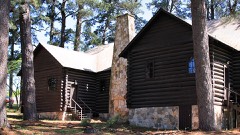 | Josey Boy Scout Lodge and Keeper's Cabin | building | 2018 | 100002700 |
 | Riverside Swinging Bridge | structure | 1979 | 79003020 |
 | State Highway 19 Bridge at Trinity River | structure | 2004 | 04001290 |
| John W. Thomason House | building | 1982 | 82004528 |
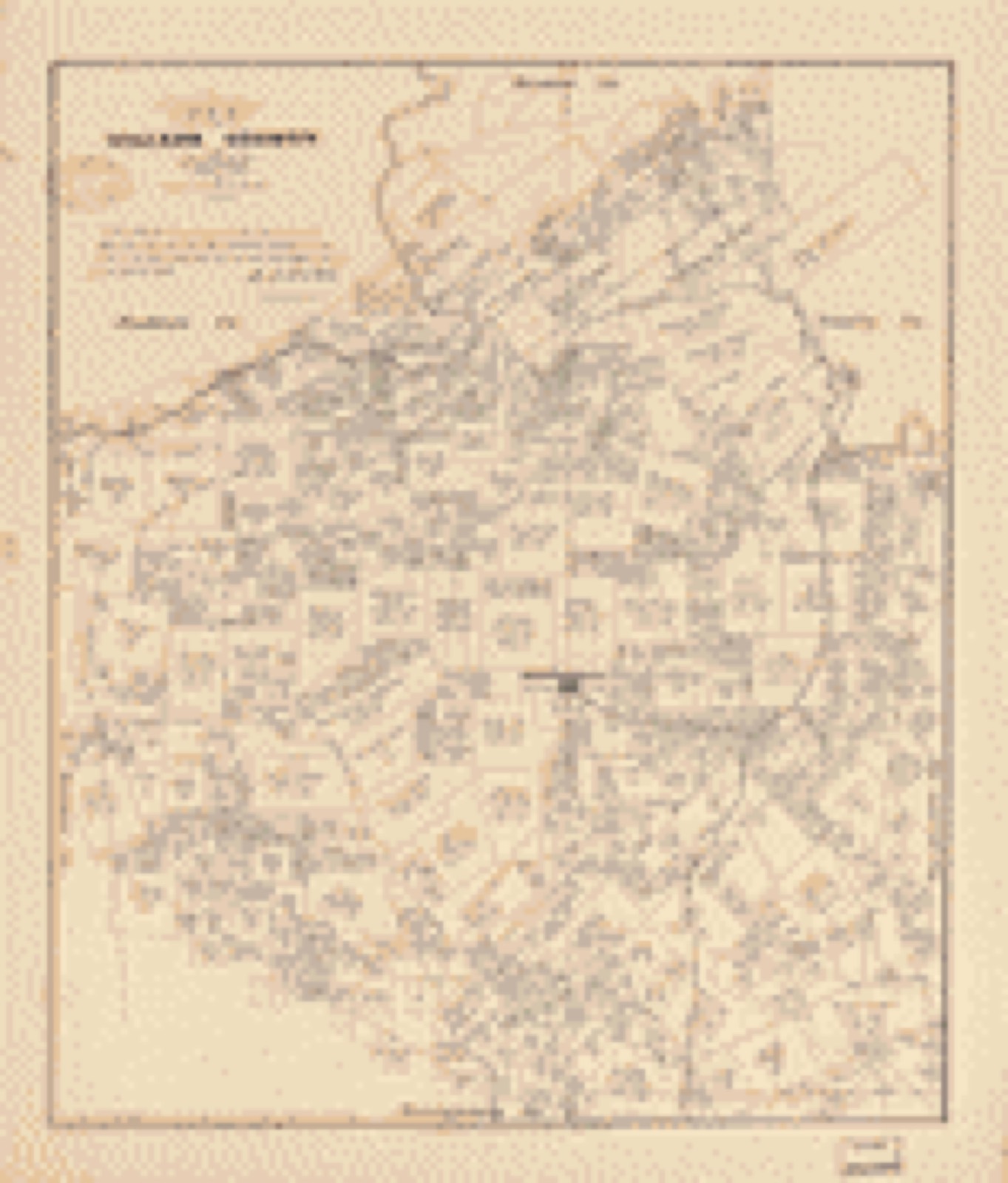
Drawn when these were printed as single large sheets: the town seen from the air, and the county divided into its farms with every owner named. Each opens the original at the Library of Congress.

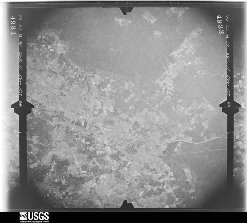
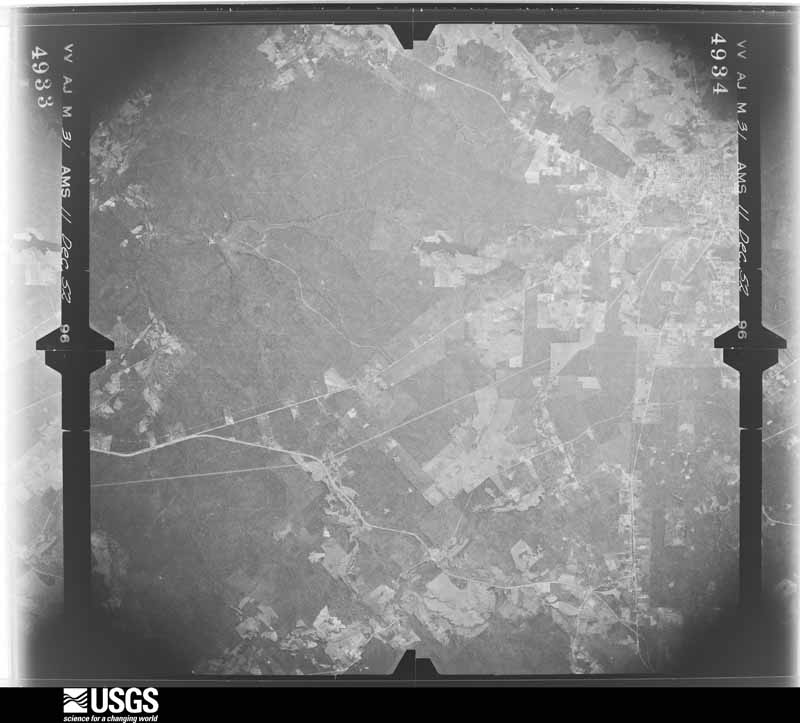
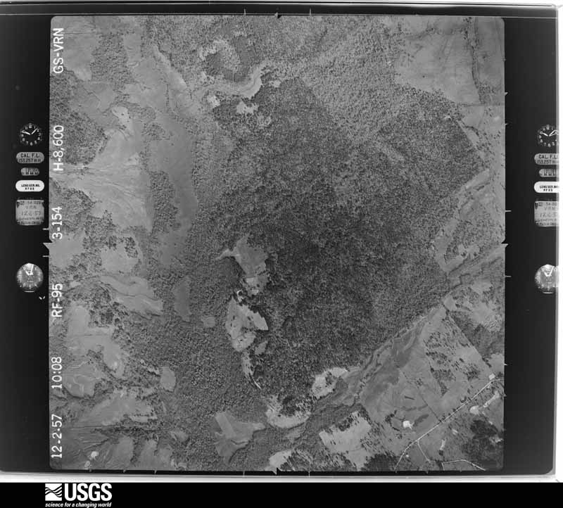
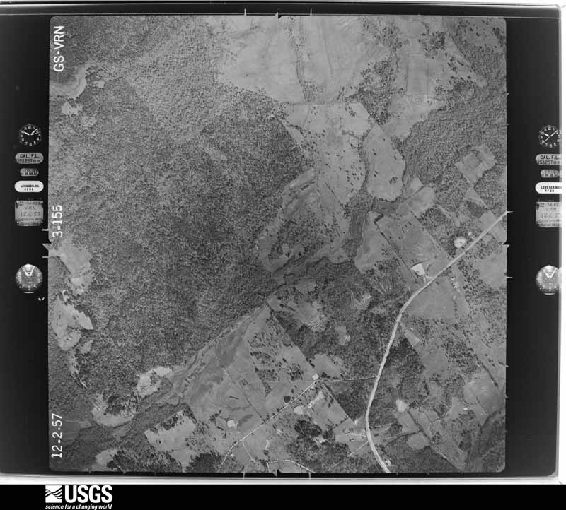
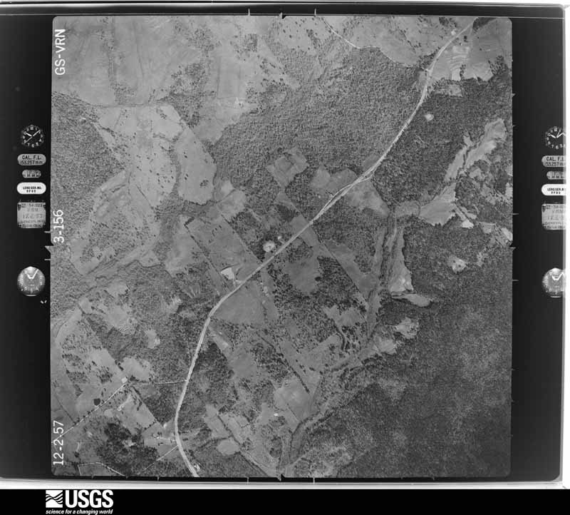
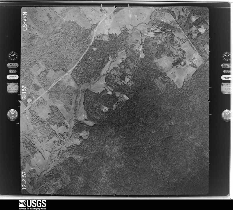
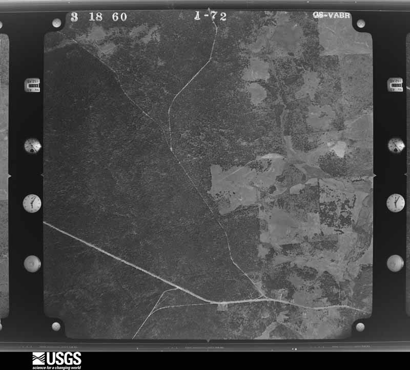
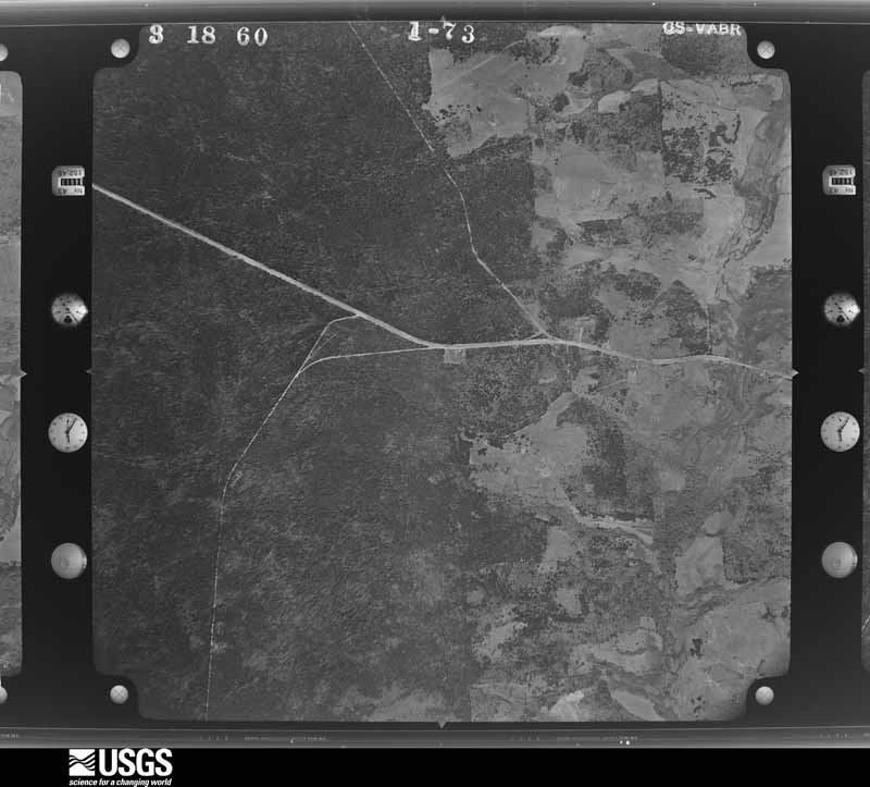
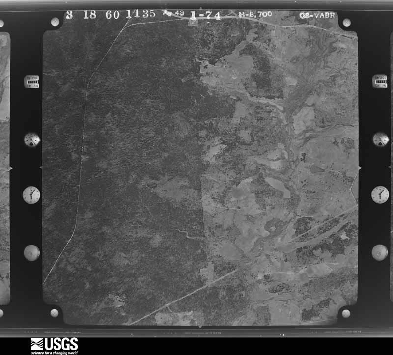
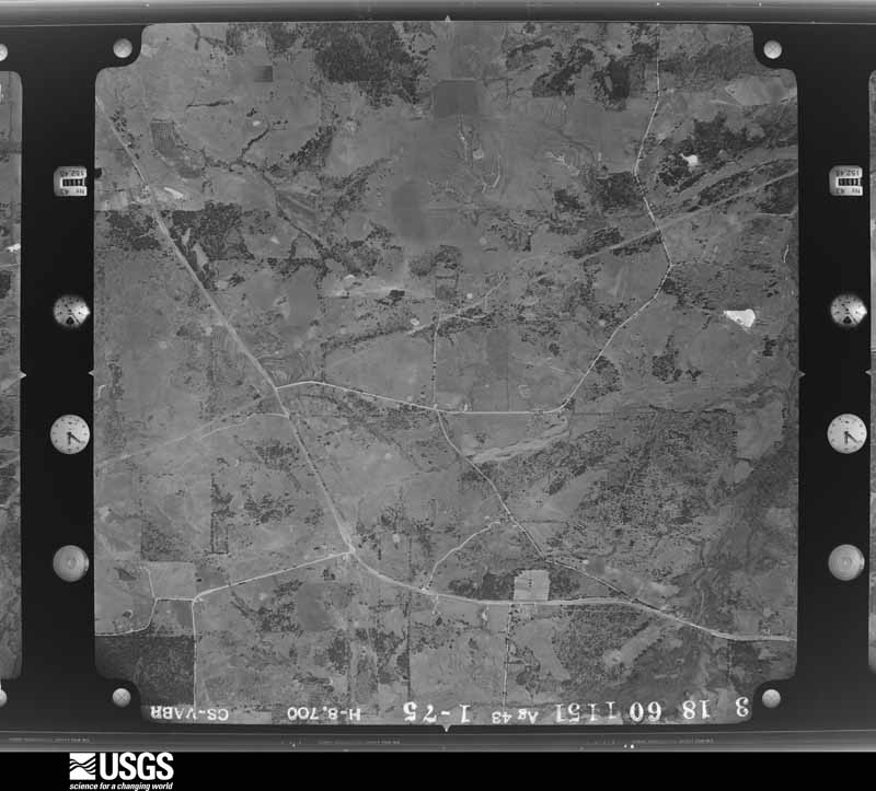
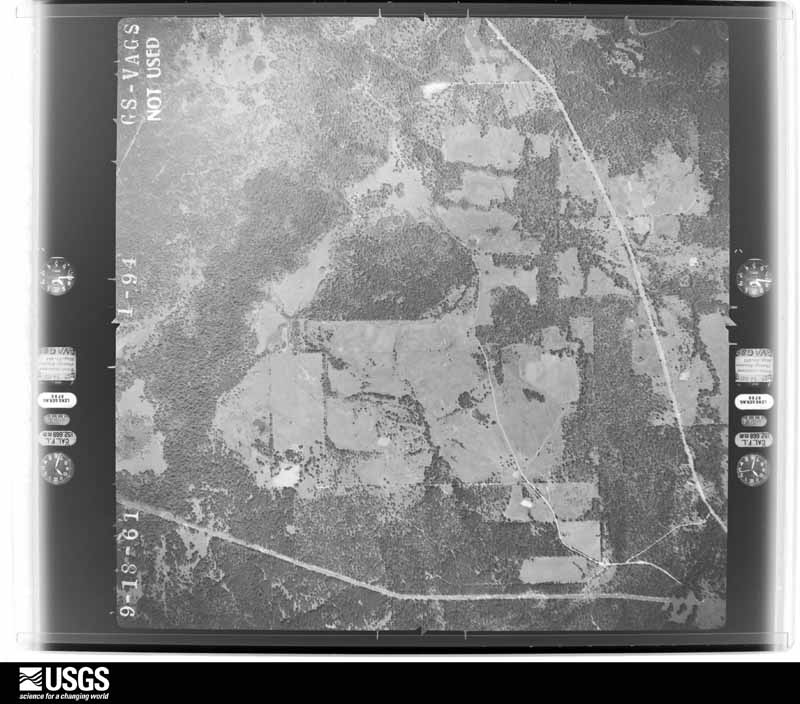
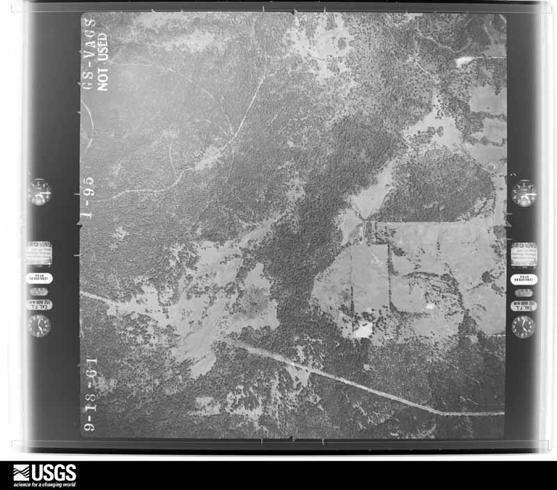
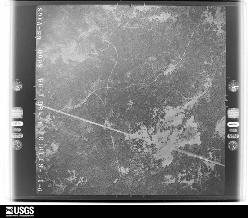
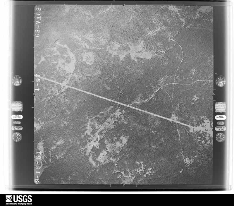
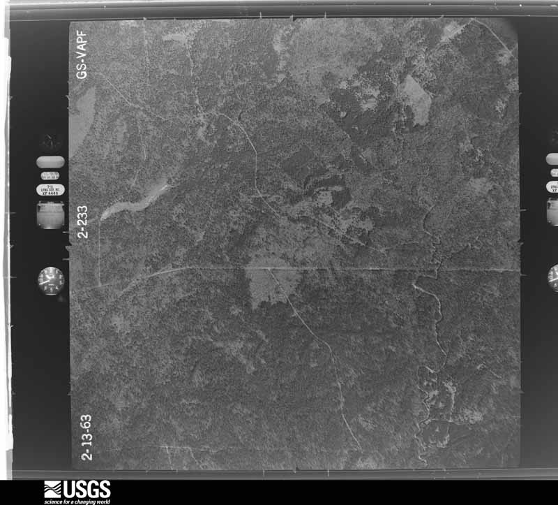
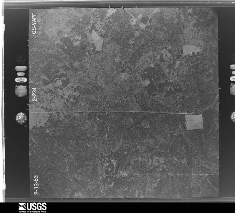
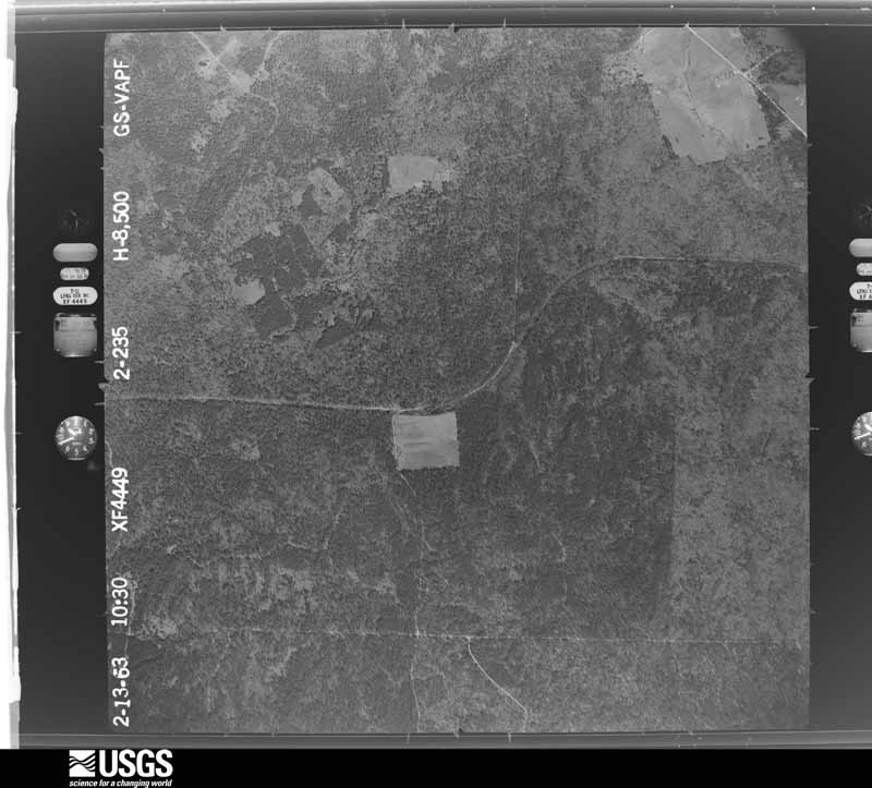
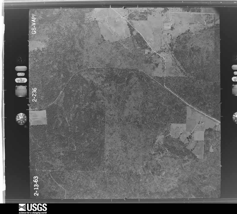
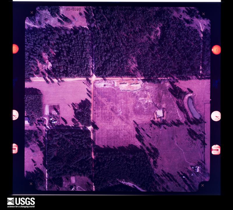
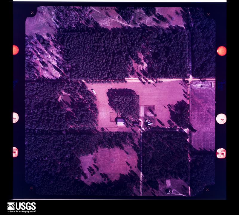
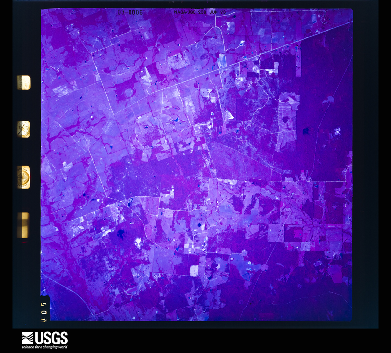
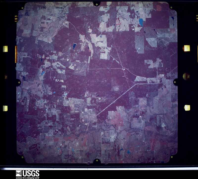
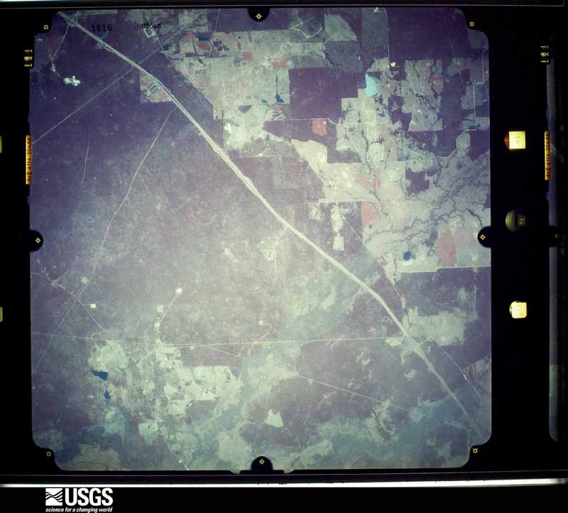
Flown by the U.S. Geological Survey between 1937 and 1989, the Aerial Photo Single Frames collection is the definitive mid-century view of the land: fields, roads and rivers as the camera saw them. The Survey holds 3,961 frames inside the rectangle that bounds this county; the 48 frames below were taken over the county itself, chosen across the decades of flights (at most four a year from that rectangle), so one flight cannot crowd out the rest. The full set is free to browse and download at EarthExplorer under the dataset Aerial Photo Single Frames.

























The thermometers that kept this county's weather, and the gages that measured the flow of its streams, as the federal records hold them. The extremes below are measured values from those records, not estimates.
Who lived here in 1950, one enumeration district at a time, as the Census Bureau described each district. Each row opens its official National Archives result, with Population Schedules and ED Maps available there.
Every wildfire the federal occurrence database records inside this county: 967 of them, burning about 21,039 acres. 83 started naturally and 59 were recorded as arson. Each settlement page carries the fires within five miles of it.
| Reported cause | Fires |
|---|---|
| Debris and open burning | 517 |
| Missing data/not specified/undetermined | 158 |
| Natural | 83 |
| Arson/incendiarism | 59 |
| Equipment and vehicle use | 49 |
| Power generation/transmission/distribution | 33 |
| Recreation and ceremony | 28 |
| Smoking | 22 |
| Misuse of fire by a minor | 8 |
| Fireworks | 4 |
| Railroad operations and maintenance | 4 |
| Other causes | 2 |
The five largest, by the area the report gives. None of them was recorded as arson.
| Date | Cause | Size | Reported by | Name on the report |
|---|---|---|---|---|
| 19 June 2011 | Missing data/not specified/undetermined | 2,047 acres | Livingston Area | MIDWAY / COWBOY CHURCH FIRE |
| 5 September 2011 | Missing data/not specified/undetermined | 1,035 acres | Livingston Area | HOPEWELL FIRE |
| 31 August 2011 | Equipment and vehicle use | 1,008 acres | Livingston Area | CRABBS PRAIRIE FIRE |
| 21 August 2018 | Natural | 764 acres | Texas A & M Forest Service | WALKER EAST |
| 19 October 2015 | Equipment and vehicle use | 755 acres | Texas A & M Forest Service | NORTH SIDE |
| 4 September 2000 | Missing data/not specified/undetermined | 650 acres | Texas A & M Forest Service | CONROE - 384 |
| 11 September 2012 | Equipment and vehicle use | 570 acres | Livingston Area | BO BROWN RD |
| 13 September 2011 | Natural | 466 acres | Livingston Area | THIRD FIRE |
Every settlement page carries the fires within five miles of it - see the settlement index below.
The NOAA Storm Events Database holds 292 reports for this county, causing 2 deaths, 26 injuries and about $605,186,500 in recorded property damage. Each settlement page carries the reports that name it.
| Kind of event | Reports |
|---|---|
| Thunderstorm Wind | 129 |
| Hail | 77 |
| Flash Flood | 58 |
| Tornado | 18 |
| Funnel Cloud | 4 |
| Flood | 3 |
| Heavy Rain | 2 |
| Lightning | 1 |
The most serious of them, by death, then injury, then recorded damage. The accounts are quoted exactly as the forecast office filed them.
| When | Event | Place named | Harm | What the report says |
|---|---|---|---|---|
| February 1981 | Tornado (F2) | not stated | 1 killed, 8 hurt, $250,000 | no account filed |
| August 2017 | Flash Flood | Hawthorne | 1 killed, $600,000,000 | Slow moving Tropical Storm Harvey produced torrential rains and moderate to major flooding over portions of Walker County. Areas along the Trinity River and Bedias Creek were among the areas impacted. There were numerous road closures including FM1375, SH75 at Bedias Creek, FM1791, FM2989, and FM3478. High water occurred on Interstate 45 but it remained passable. |
| January 1999 | Tornado (F1) | Huntsville | 7 hurt, $125,000 | Tornado touchdown in the Acres Hills subdivision just NE of Huntsville. One mobile home completely destroyed. Three people inside escaped with fairly minor injuries (cuts and abrasions, separated shoulder). A large oak tree bisected another trailer down the road pinning the resident who was later Life Flighted to Houston and had a broken leg and ankle, and a collapsed lung. Three other residents sustained minor injuries (lacerations, etc). Numerous trees and roof damage was noted throughout the remainder of the subdivision. |
| March 1957 | Tornado (F2) | not stated | 2 hurt, $25,000 | no account filed |
| March 1995 | Thunderstorm Wind | Huntsville | 2 hurt, $20,000 | Sheriffs reported that downburst winds destroyed one mobile home and damaged three others. |
| August 2009 | Thunderstorm Wind | New Waverly | 2 hurt, $7,000 | Trees were downed across SH 150 East near Rogers Road. One tree feel upon a vehicle, trapping and injuring two occupants. |
| November 1987 | Thunderstorm Wind | not stated | 2 hurt | no account filed |
| March 1987 | Thunderstorm Wind | not stated | 2 hurt | no account filed |
| January 1999 | Tornado (F0) | Riverside | 1 hurt, $10,000 | Brief tornado touchdown in the Hickory Hills subdivision caused barn damage and one unconfirmed injury. |
| May 2024 | Flood | New Waverly | $670,000 | Flooding from numerous heavy rain events in April and early May led to significant damage. |
| November 2000 | Flash Flood | Countywide | $500,000 | FM 2989 closed. I-45 feeder road flooded at Bedias Creek. Major street flooding in Huntsville. Subdivisions flooded in Riverside area. Voluntary evacuations at the Harmon Creek Marina. |
| February 1983 | Tornado (F1) | not stated | $250,000 | no account filed |
| February 1983 | Tornado (F0) | not stated | $250,000 | no account filed |
| June 1973 | Tornado (F2) | not stated | $250,000 | no account filed |
| January 1998 | Tornado (F1) | New Waverly | $200,000 | Tornado continued from the Montgomery/Walker County line moving to the east-northeast through Sam Houston National Forest. This tornado snapped numerous trees along its path, some 18 inches in diameter. Timber loss was estimated at $200,000. Most significant number of trees down along FR 208 & 208A. In addition to downed trees, numerous camping shelters were destroyed in Huntsville State Park causing that area of the forest to be closed to campers for weeks. |
| November 2000 | Flash Flood | Countywide | $150,000 | Spotty road closures due to flooding across county. Several secondary roads damaged by water. |
| November 2000 | Thunderstorm Wind | New Waverly | $150,000 | Large tree blown onto home. Roof blown off home and barns damaged in area. |
| October 1997 | Tornado (F1) | Huntsville | $150,000 | Destroyed 2 houses |
| April 2024 | Flash Flood | East Sandy | $100,000 | Flooding across Huntsville State Park inundated multiple buildings with around 1ft of floodwater. |
| April 2015 | Flash Flood | Huntsville | $100,000 | Heavy rain at Sam Houston State University collapsed a recreational building wall and allowed water to flow into the lower levels of the structure. Numerous parking lots were flooded. |
| June 2000 | Flash Flood | Countywide | $100,000 | Homes and roads flooded in the Huntsville area. |
| April 2015 | Thunderstorm Wind | Phelps | $75,000 | Thunderstorm winds downed trees between Huntsville and New Waverly. Law enforcement reported that the most damage was observed in and around the Elkins Lake Subdivision south of Huntsville where numerous trees were downed. One tree fell and damaged the the roof of a church near Interstate 45 North near exit 113. |
| April 1996 | Thunderstorm Wind | Huntsville | $75,000 | no account filed |
| January 1999 | Thunderstorm Wind | Huntsville | $74,000 | Medium sized oak tree uprooted and fell on mobile home. Uncompleted home framework collapsed. |
| May 2004 | Thunderstorm Wind | Countywide | $65,000 | Numerous trees blown down countywide...including the Huntsville area, FM 247, FM 1696 and FM 1791. |
| May 2004 | Flash Flood | Huntsville | $60,000 | Numerous roads in and around the Huntsville area flooded and impassable. |
| February 2012 | Flash Flood | Loma | $50,000 | A band of moderate to heavy rainfall caused flooding in and around Grimes and Huntsville. Numerous road closures and stalled cars were reported in the town of Navasota with additional closures in and around the communities of Anderson and Huntsville. |
| January 2012 | Tornado (EF0) | Huntsville Arpt | $50,000 | This EF-0 tornado touched down in the Home Depot parking lot on the west side of Interstate 45 where damage was done to a portable building. The tornado crossed the interstate and caused some damage at a car dealership when metal awnings were carried up and over nearby power lines and dropped on two vehicles. The tornado then lifted back into the clouds around a nearby motel. |
| November 2000 | Flash Flood | Countywide | $50,000 | Numerous roads underwater throughout county. SH 30 closed at FM 2550. FM 2989 closed between I-45 and Hwy. 247. FM 3478 closed at Nelson Creek. FM 1791 closed between I-45 and Hwy. 247. San Jacinto River overbanks at SH 30. Several feeder roads flooded on I-45. Storm total of 9.29 inches of rain 1 mile north of Huntsville.A stationary front draped across southeast Texas provided the focus for very heavy rainfall and flooding across the northern part of southeast Texas from the evening of the 2nd through the morning of the 4th. Rainfall totals of 7 to 10 inches were common. The heaviest rainfall and most severe flooding occurred in the Bryan and Kurten areas in Brazos County. The heavy rains busted severe drought conditions that had plagued the area for months. |
| May 1993 | Thunderstorm Wind | not stated | $50,000 | The Walker County Sheriff Department reported trees and power lines knocked down by high winds in the Elkins Lake subdivision, southwest of Huntsville. |
| April 2020 | Thunderstorm Wind | Huntsville Arpt | $41,000 | Trees were downed onto several homes along Hickory Drive. |
| April 2020 | Hail | Phelps | $40,000 | Baseball to apple sized hail was reported. |
| May 2021 | Tornado (EF0) | Huntsville | $30,000 | A brief tornado touched down near a shopping center near Huntsville. Caused some minor damage. Circular winds observed in parking lot on video. |
| January 2012 | Tornado (EF0) | Huntsville | $30,000 | This EF-0 tornado touched down in a residential section of the Huntsville area near Roundabout Road. There was significant tree damage, and one of the trees did fall on a nearby house and caused some roof damage. Trees were blown down in different directions, giving an indication of a strong circulation in the area. |
| April 2011 | Thunderstorm Wind | Country Campus | $30,000 | Area of damage in the Horseshoe Lake area of Walker County. Intermittent damage was over a large area with trees pointing toward the northeast. One area near the lake was especially hard it with large trees uprooted and snapped and some mobile homes shifted. In that area estimate a microburst with wind speeds of 70 to 80 mph. |
| January 2020 | Thunderstorm Wind | Country Campus | $26,000 | A roof collapsed onto a mobile home. |
| April 2015 | Thunderstorm Wind | Phelps | $25,000 | Thunderstorm winds knocked down numerous trees along Southwood Drive east and northeast of the Steely Lumber Company. There was also some resident roof and vehicle damage. |
| May 2000 | Hail | Crabbs Prairie | $25,000 | A strong upper level distrubance along with a very warm humid airmass resulted in a squall line which swept across southeast Texas on May 4th. The storms mainly affected the northern half of southeast Texas, moving as far south as Interstate 10 before weakening. Numerous reports of hail up to golfball sized were received, along with a few reports of downed trees. Flash flooding occurred in Grimes and central Washington Counties. |
| November 2000 | Thunderstorm Wind | Huntsville | $25,000 | Numerous trees down. |
| July 2000 | Thunderstorm Wind | Huntsville | $25,000 | Tree down on car. |
| April 1999 | Tornado (F0) | New Waverly | $25,000 | Tornado 4 miles north of New Waverly. Trees down along US 75 and the highway was closed. |
| June 1999 | Flash Flood | Countywide | $25,000 | FM 2296 closed just north of US 75 due to flooding. |
| March 2000 | Hail | Riverside | $25,000 | no account filed |
| May 2000 | Hail | Crabbs Prairie | $25,000 | no account filed |
| January 2020 | Thunderstorm Wind | Phelps | $21,000 | There was some roof damage to a home on Dorrell Road. |
| April 2024 | Flash Flood | Mossy Grove | $20,000 | A section of FM 2989 was washed out by floodwaters near Falba Cemetery. |
| March 2018 | Thunderstorm Wind | Huntsville Arpt | $20,000 | West southwest to east northeast moving thunderstorms produced strong winds that snapped or downed numerous one to three foot diameter trees and caused damage to area roofs and power lines. |
| April 2006 | Hail | Huntsville | $20,000 | Numerous reports of golfball to racquetball-size hail. |
| May 2004 | Hail | Huntsville | $20,000 | 1.75 inch hail in Huntsville. |
| May 2004 | Hail | Crabbs Prairie | $20,000 | 1.75 inch hail in Crabbs Prairie. |
| November 2002 | Flash Flood | Countywide | $20,000 | Numerous roads closed due to high water on extremely saturated grounds. |
| April 2020 | Thunderstorm Wind | Crabbs Prairie | $19,000 | A barn was destroyed along Wire Road. |
| January 2020 | Thunderstorm Wind | Country Campus | $19,000 | A roof was removed from a trailer on Catechis Road. |
| May 2015 | Thunderstorm Wind | Dodge | $19,000 | Thunderstorm wind gusts destroyed a barn and downed some large tree limbs along Roy Webb Road near Dodge. |
| April 2020 | Thunderstorm Wind | Huntsville | $16,000 | Several homes were damaged on Sleepy Hollow Circle. |
| January 2020 | Thunderstorm Wind | Riverside | $16,000 | A tin roof was removed off a shed on Martha Lane. |
| April 2017 | Tornado (EF0) | Country Campus | $15,000 | At the beginning of its path, the tornado deposited a barn across and onto Jim White Road before it tracked across an open field and damaged trees. |
| March 2014 | Thunderstorm Wind | Huntsville Arpt | $15,000 | Numerous trees were downed across northern parts of Walker County, especially north of the Huntsville area. |
| January 2012 | Thunderstorm Wind | Huntsville | $15,000 | This severe thunderstorm produced widespread wind damage in and around the Huntsville area. Numerous trees were downed throughout the city, and a light pole was blown down on a new truck. There was also some roof damage to a bank in the middle of the city. A student at a local university was injured by a falling tree limb. |
| June 2007 | Thunderstorm Wind | Huntsville | $15,000 | Two trees down on two separate mobile homes. One mobile home received significant roof damage while the other received only minimal structural damage. Power line was also reported being downed. |
The Survey's mineral resources record lists 7 workings inside this county. 5 still produce and 2 are closed or unrecorded. Each settlement page carries the workings within five miles of it.
| Commodity | Workings |
|---|---|
| Clay | 4 |
| Stone, Crushed/Broken | 2 |
| Bentonite | 1 |
The least common of them first, because a county's hundredth gravel pit says nothing its first ten did not.
| Where | Site | Commodity | Status | Recorded |
|---|---|---|---|---|
| Milwhite Company Abandoned Pit | Bentonite | Past Producer | ||
| Pine Pit & Plant | Stone, Crushed/Broken | Producer | ||
| Unknown | Stone, Crushed/Broken | Past Producer | ||
| Jordan and Hutchinson Operation | Clay | Producer | ||
| Riverside Plant | Clay | Producer | ||
| Stutts Equipment Co Operation | Clay | Producer | ||
| Unknown | Clay | Producer |
Named settlements recorded in the Geographic Names Information System, each with the topographic sheets covering it. Villages, hamlets and abandoned places alike. Each is shown with the nearest named watercourse or landform and the survey quadrangle it falls on.
Huntsville census division · 77340 · On McDonald Creek · Moore Grove quadrangle
13 sheets, 1954 to 1997
Huntsville census division · 77320 · Crabbs Prairie quadrangle
11 sheets, 1954 to 1985
Riverside census division · 77334 · On Elder Creek · Phelps quadrangle
13 sheets, 1954 to 1997
Huntsville census division · 77873 · On Lee Branch · San Jacinto quadrangle
14 sheets, 1954 to 1997
Riverside census division · 77320 · On Gospel Hill · Staley quadrangle
12 sheets, 1954 to 1997
Riverside census division · 77340 · On Ford Branch · Phelps quadrangle
13 sheets, 1954 to 1997
Huntsville census division · 77340 · Near Smith Hill · Huntsville quadrangle
14 sheets, 1954 to 1997
Riverside census division · 75862 · On Eve Branch · Trinity West quadrangle
12 sheets, 1954 to 1985
Huntsville census division · 77358 · On Plum Creek · Moore Grove quadrangle
13 sheets, 1954 to 1997
Huntsville census division · 77320 · On White Oak Branch · Steep Branch quadrangle
10 sheets, 1954 to 1985
Riverside census division · 77320 · On Ford Branch · Phelps quadrangle
13 sheets, 1954 to 1997
New Waverly census division · 77340 · On Mays Creek · Phelps quadrangle
13 sheets, 1954 to 1997
Riverside census division · 77320 · On Harmon Creek · Riverside quadrangle
13 sheets, 1954 to 1997
Huntsville census division · 77873 · On Lee Branch · San Jacinto quadrangle
14 sheets, 1954 to 1997