 Block
BlockFrom the record
4 National Register listings published here, 1 of them a National Historic Landmark.
Sources: the National Register database, National Park Service
29 topographic sheets cover 42 settlements here, and 4 properties are on the National Register of Historic Places.
4 National Register listings published here, 1 of them a National Historic Landmark.
Sources: the National Register database, National Park Service
Every property in this county listed on the National Register of Historic Places, with the year it was listed and the federal nomination document.
| Photograph | Property | Type | Listed | Reference |
|---|---|---|---|---|
| Corralitos Ranch | site | 1977 | 77001483 | |
| San Francisco Ranch | site | 1977 | 77001484 | |
| San Ygnacio Historic District | district | 1973 | 73001988 | |
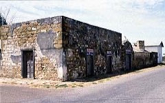 | Trevino-Uribe Rancho | building | 1973 | 73002342 |
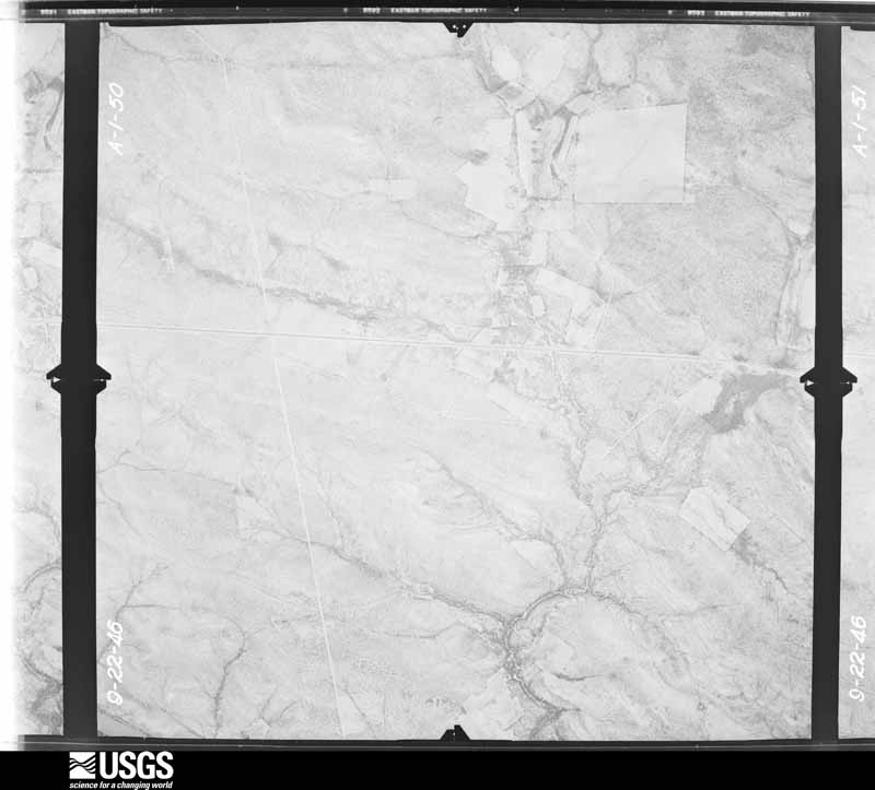
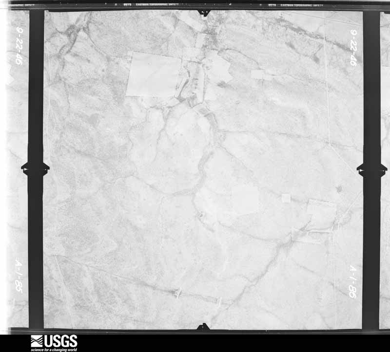
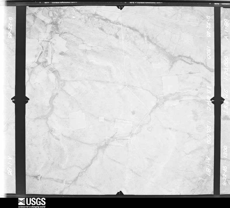
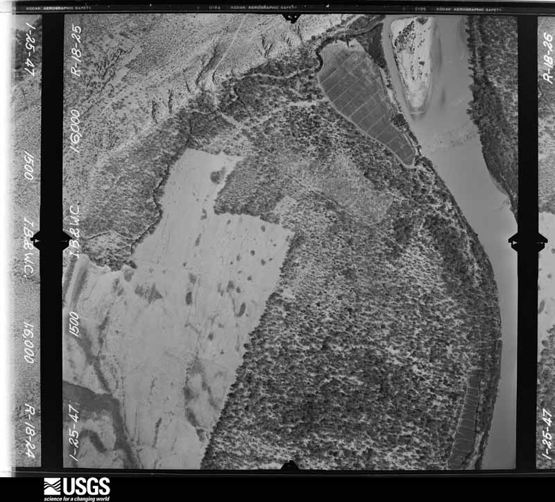
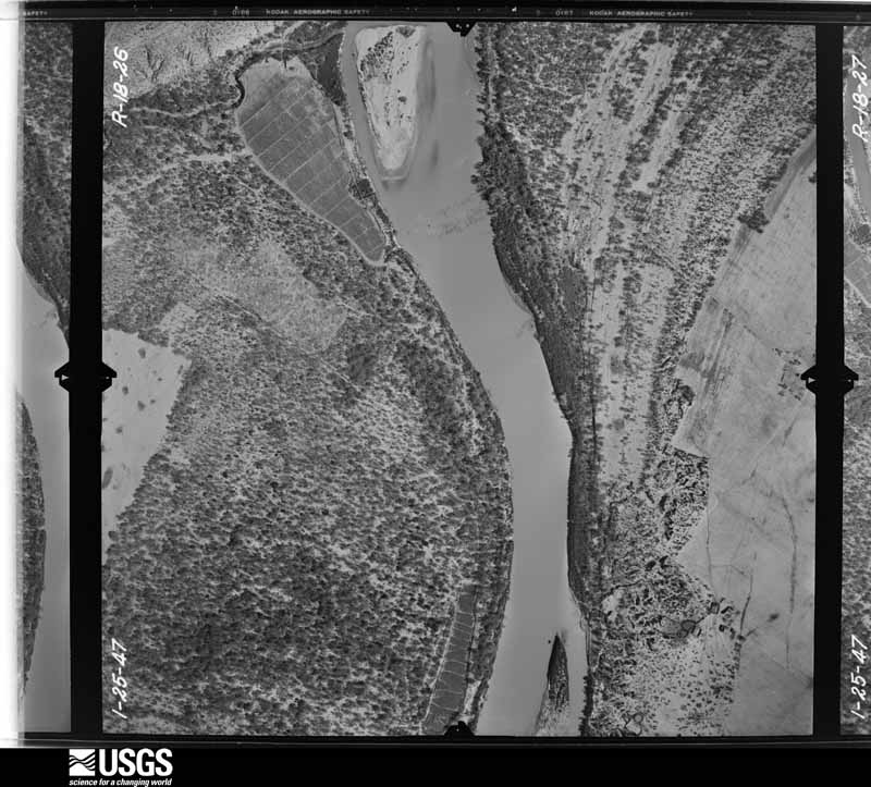
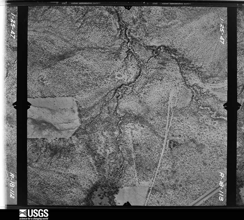
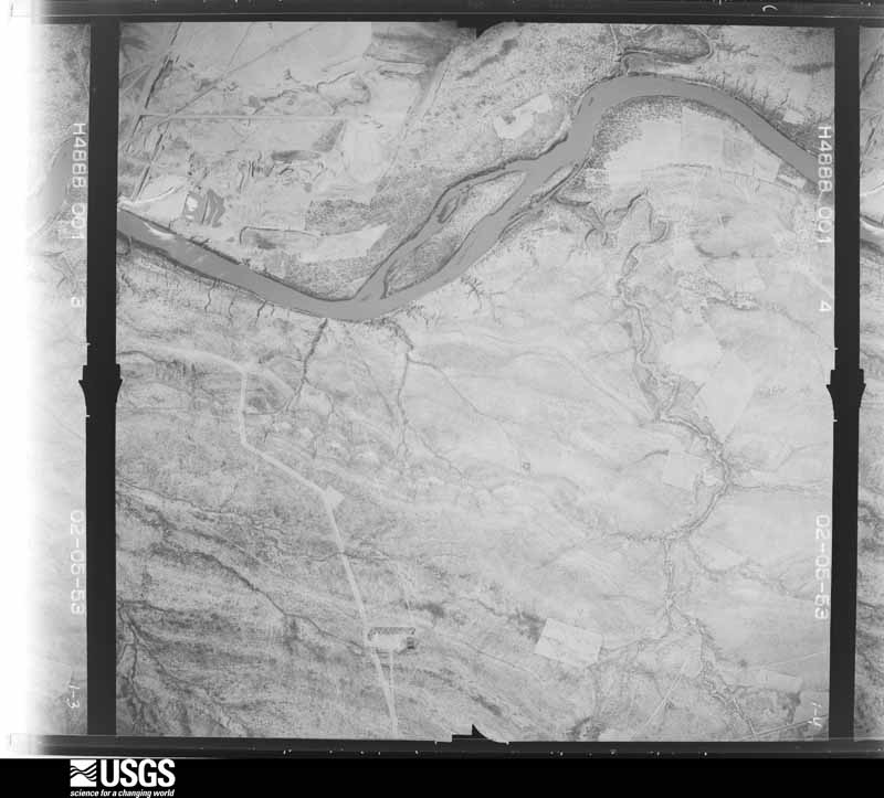
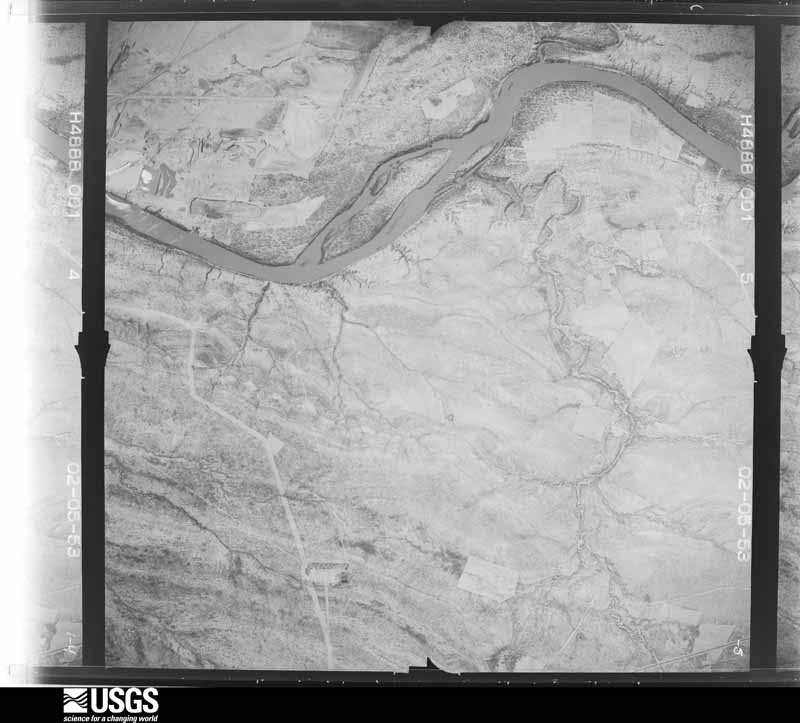
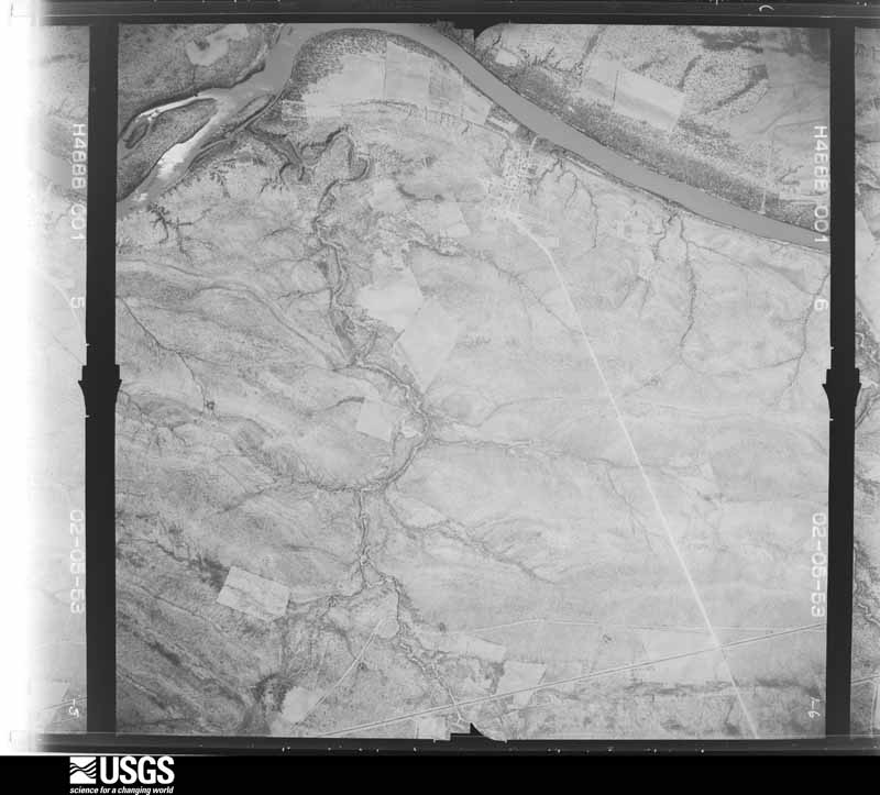
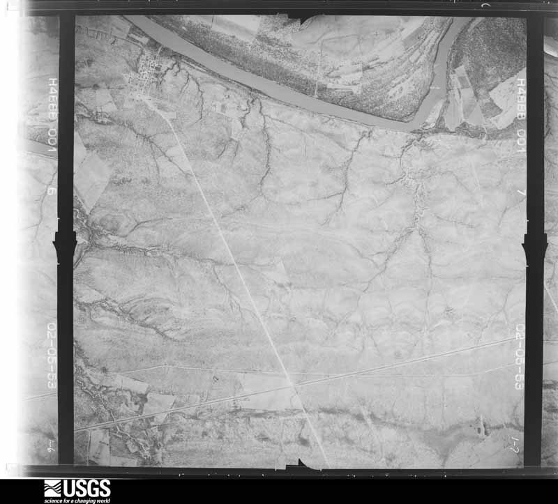
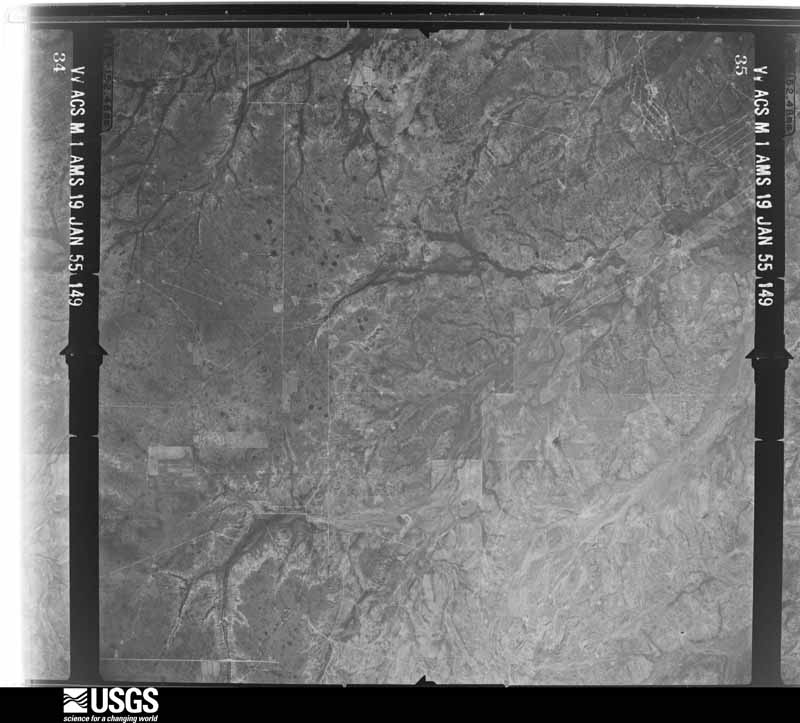
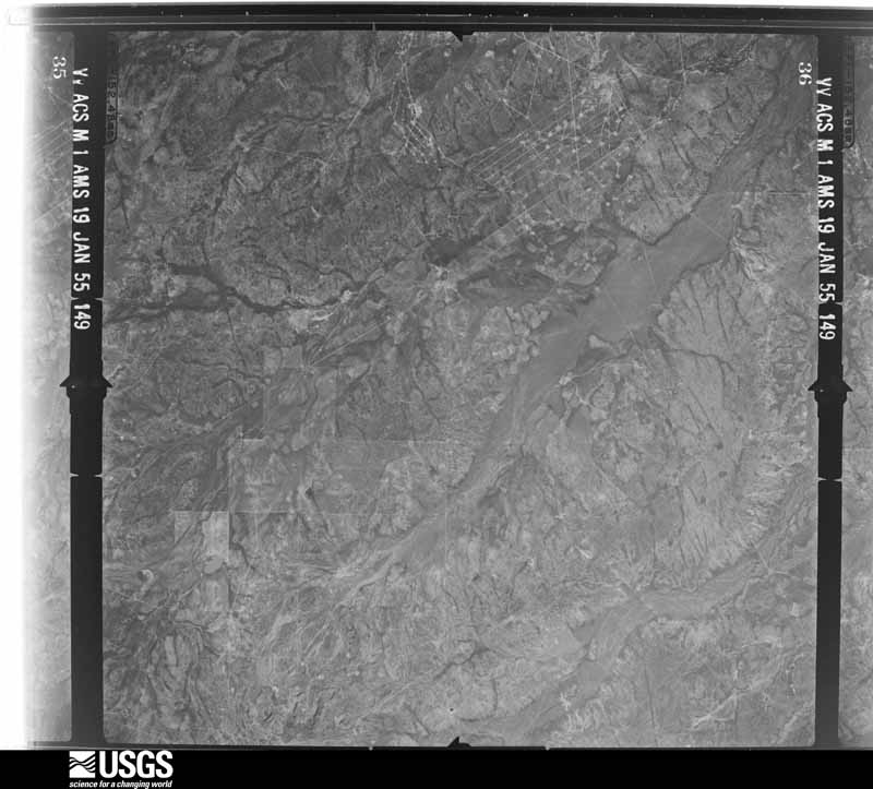
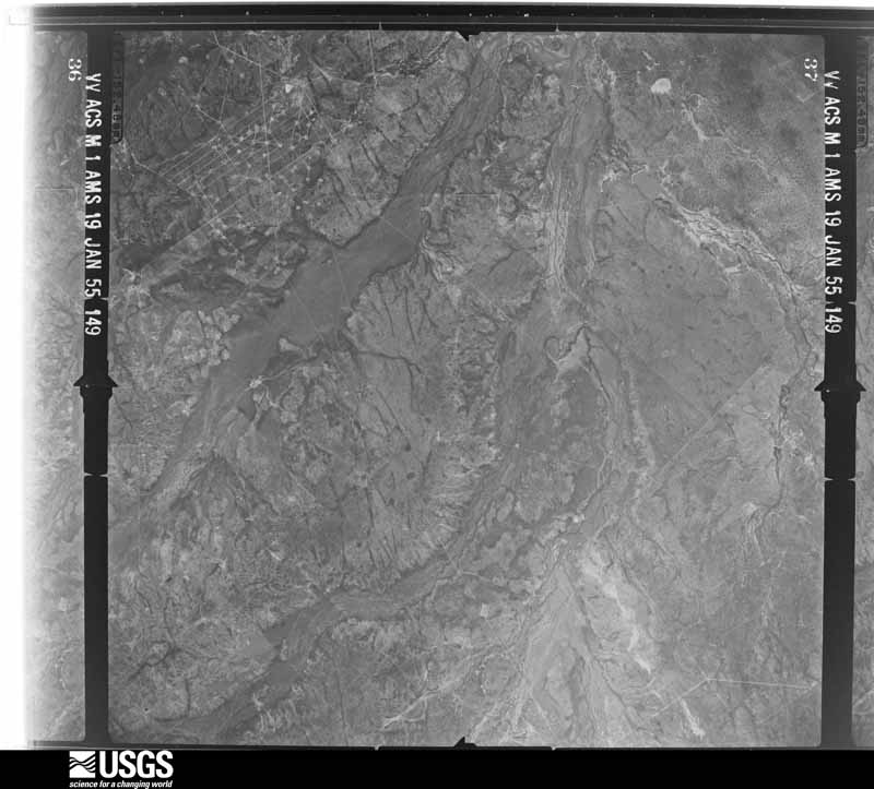
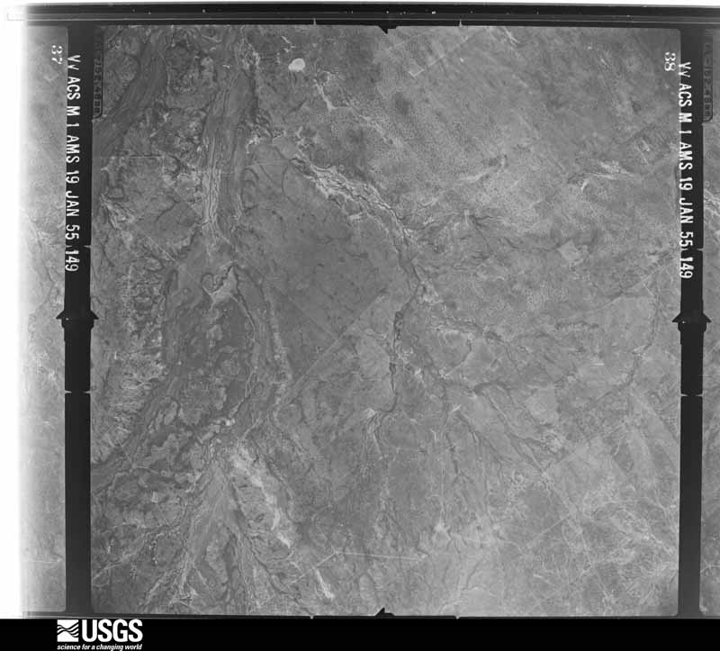
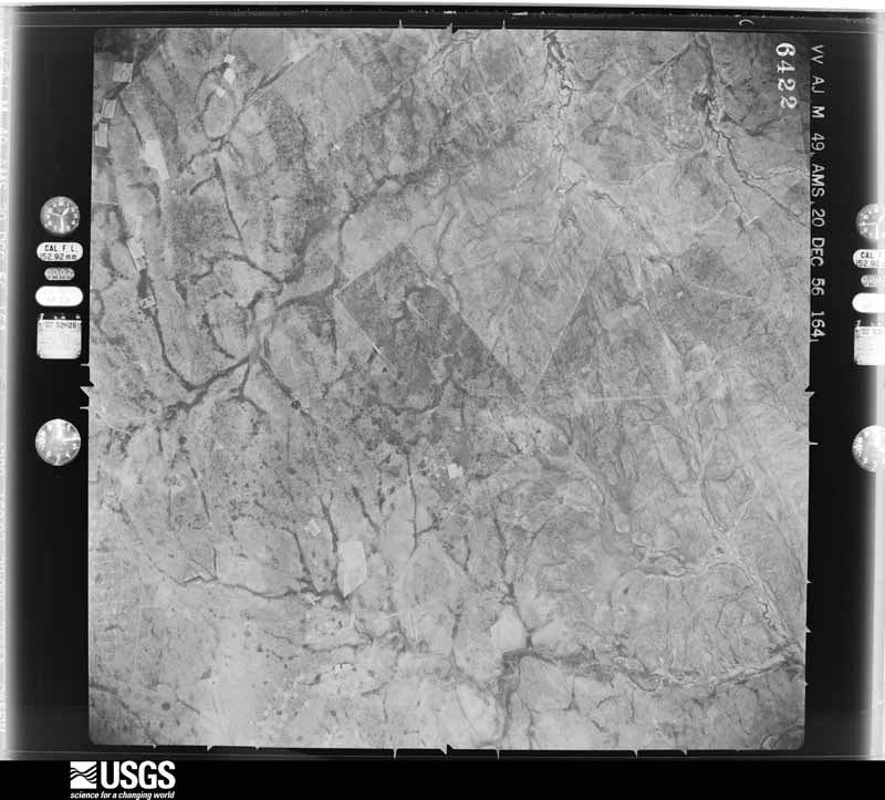
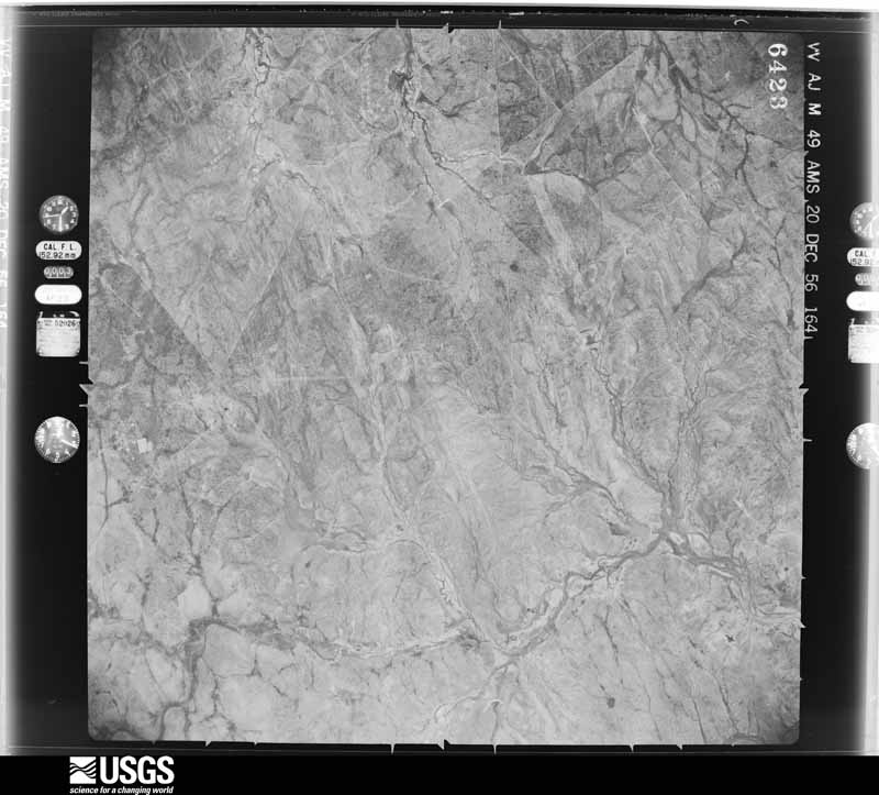
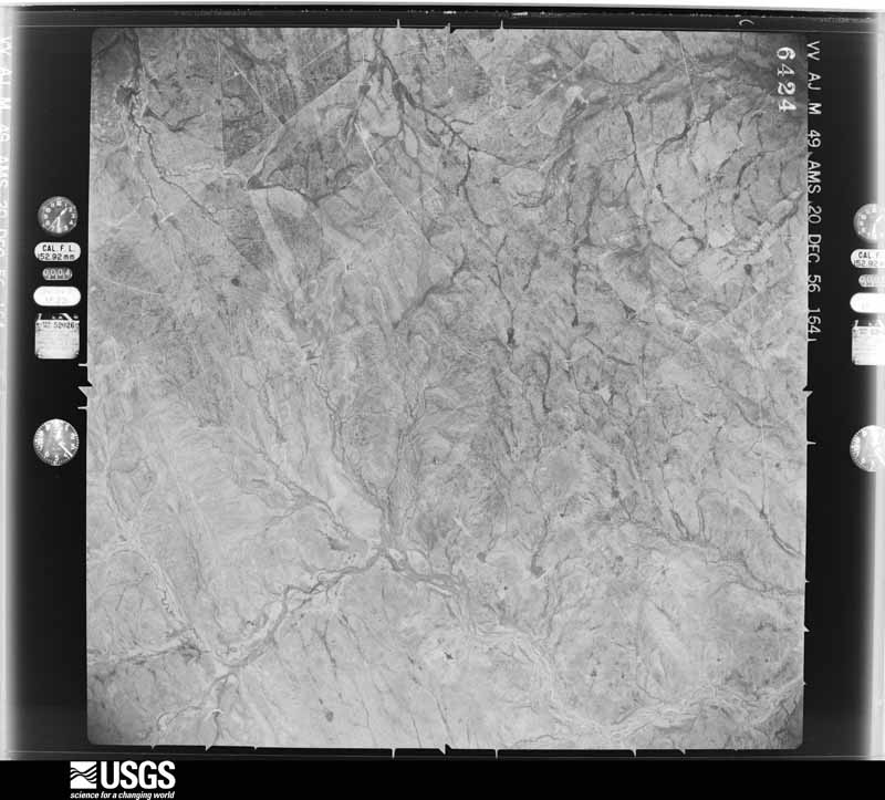
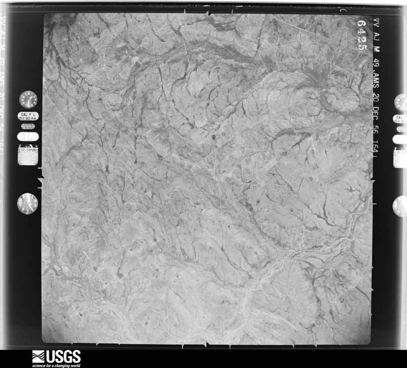
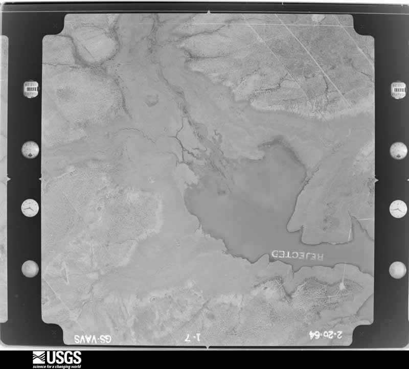
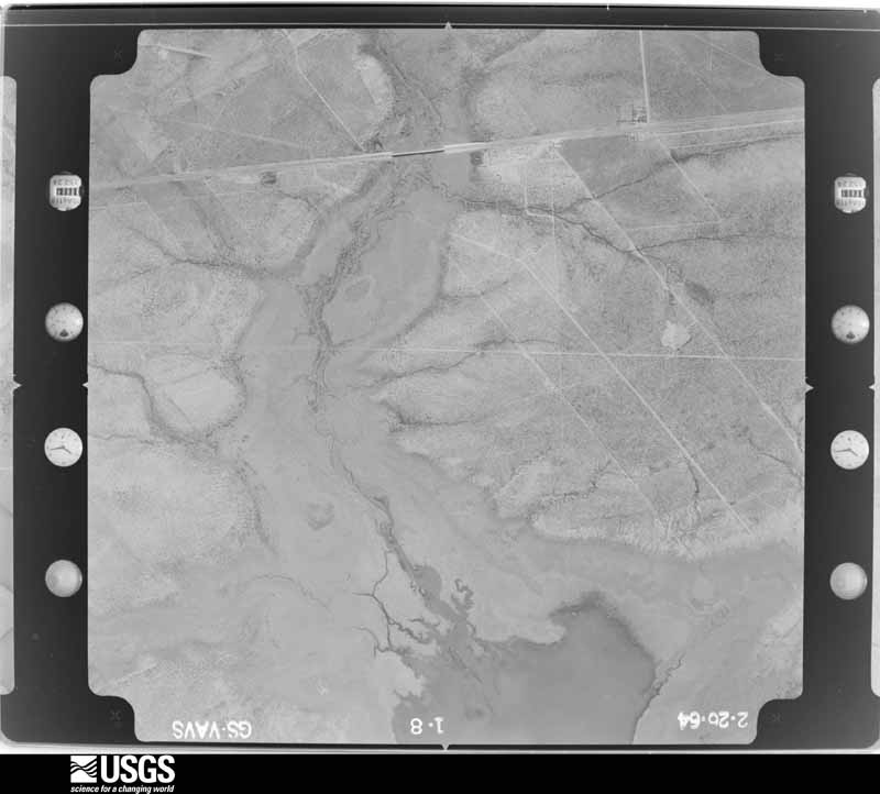
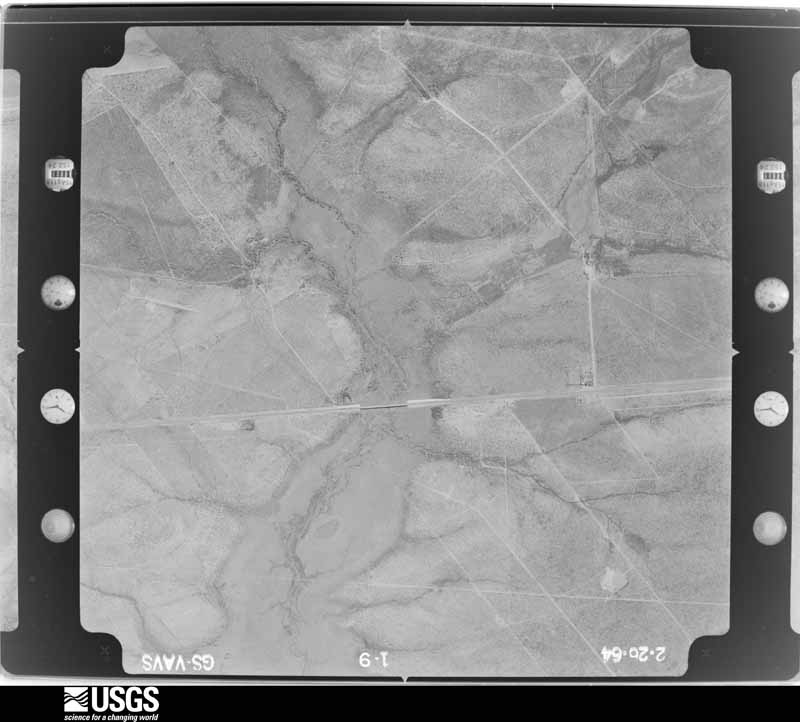
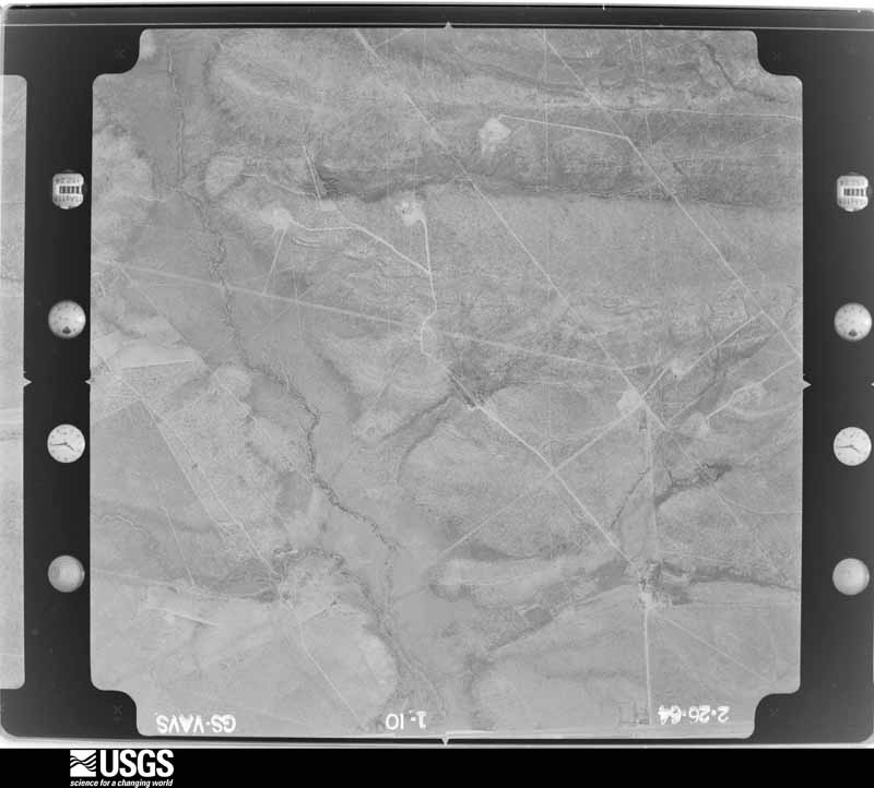
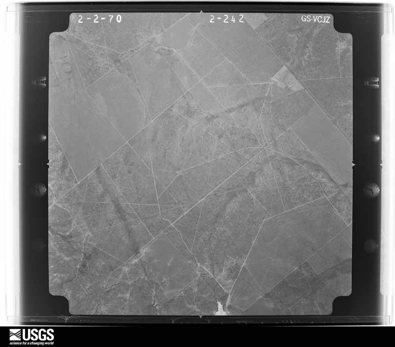
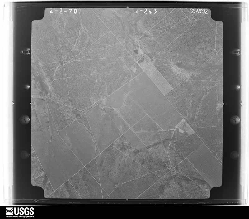
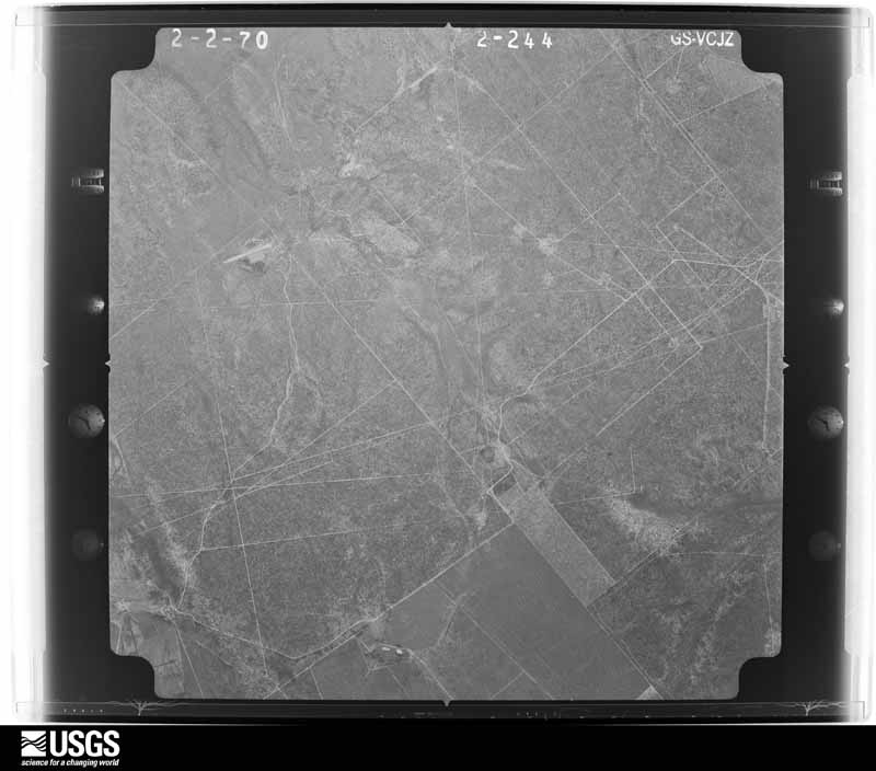
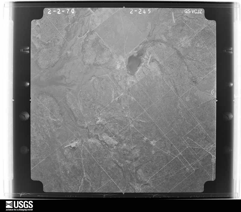
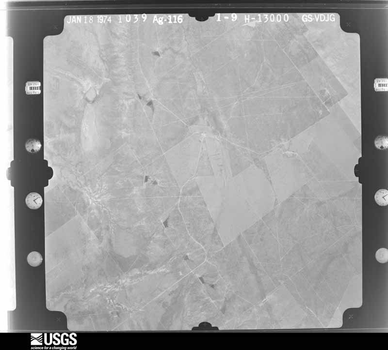
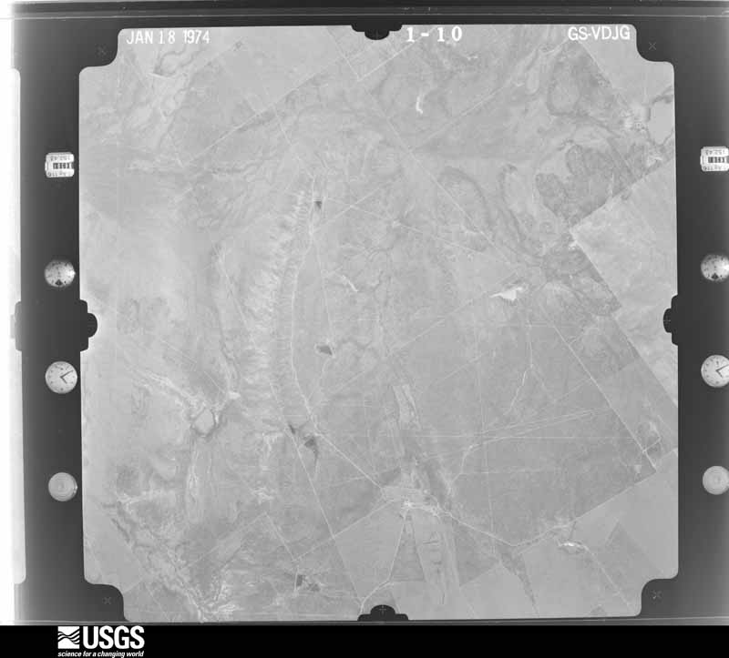
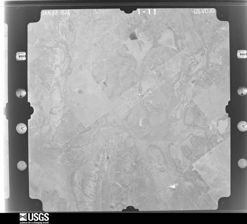
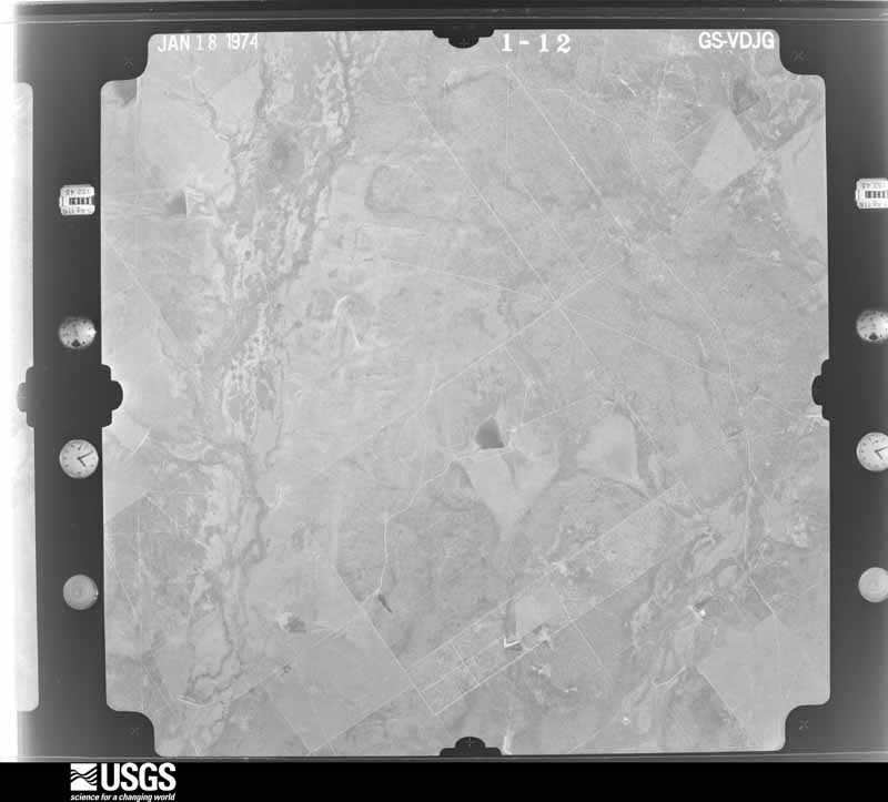
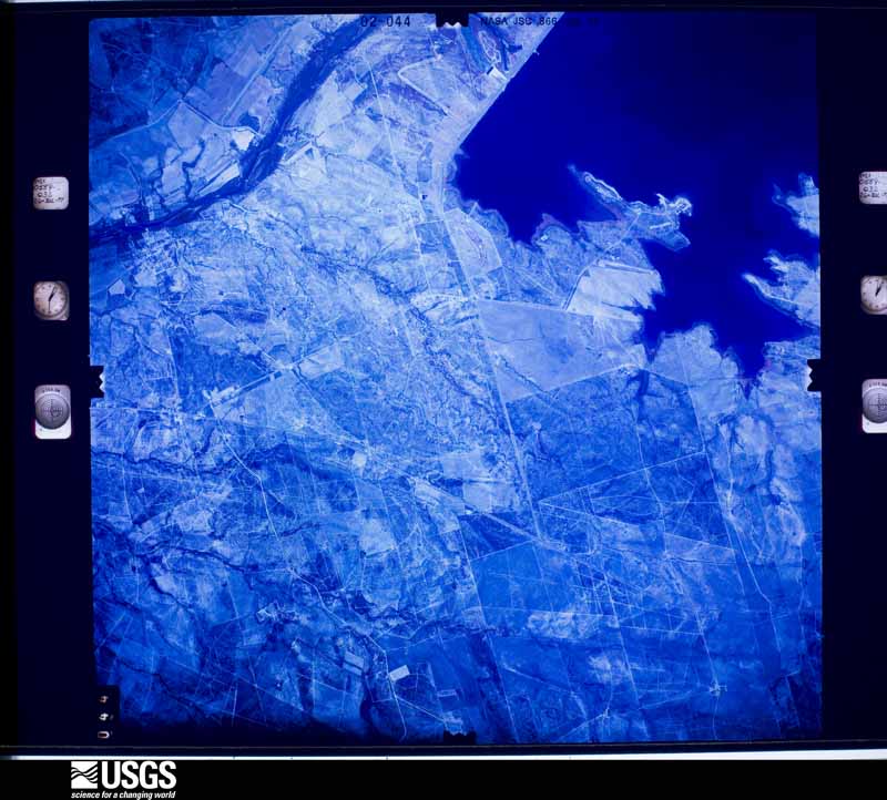
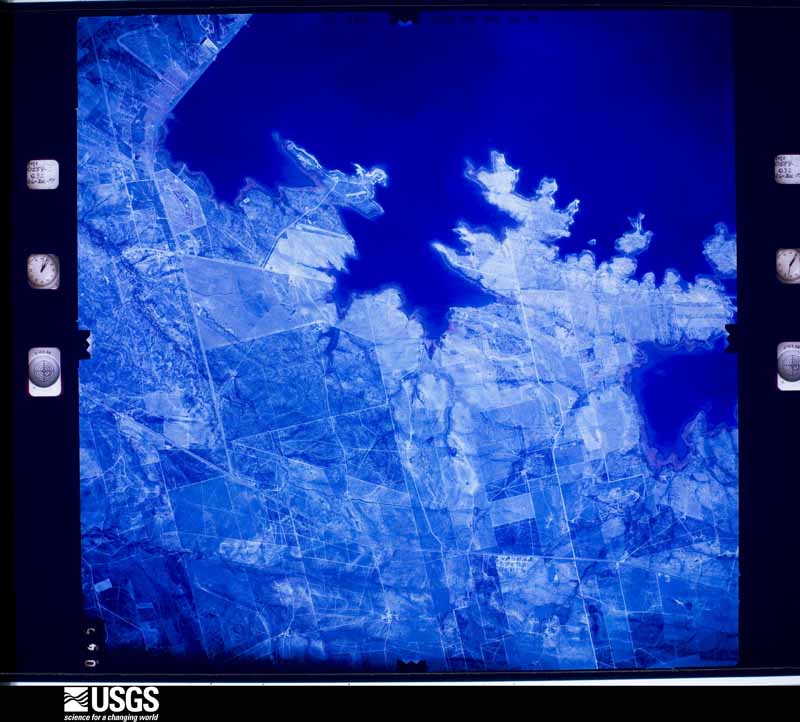
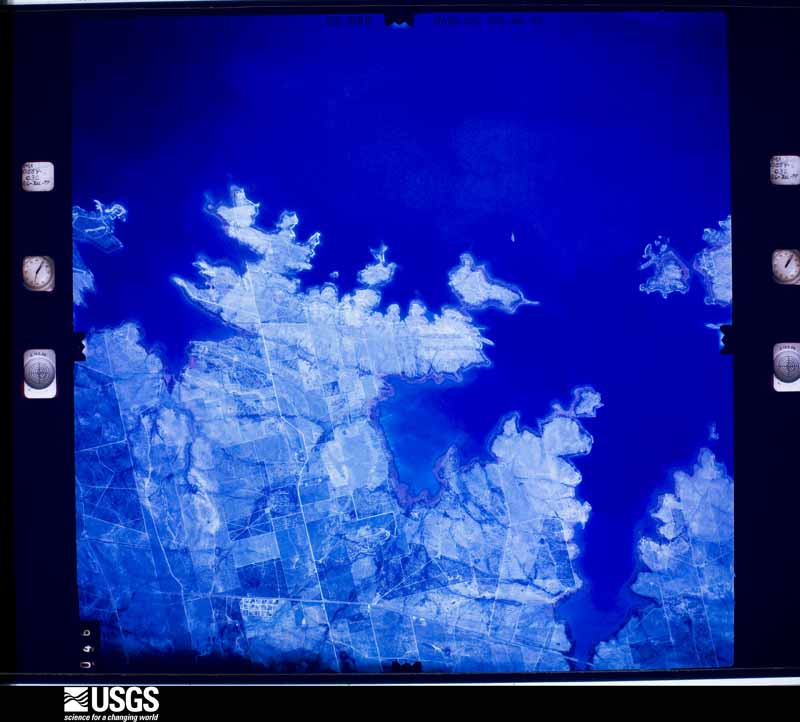
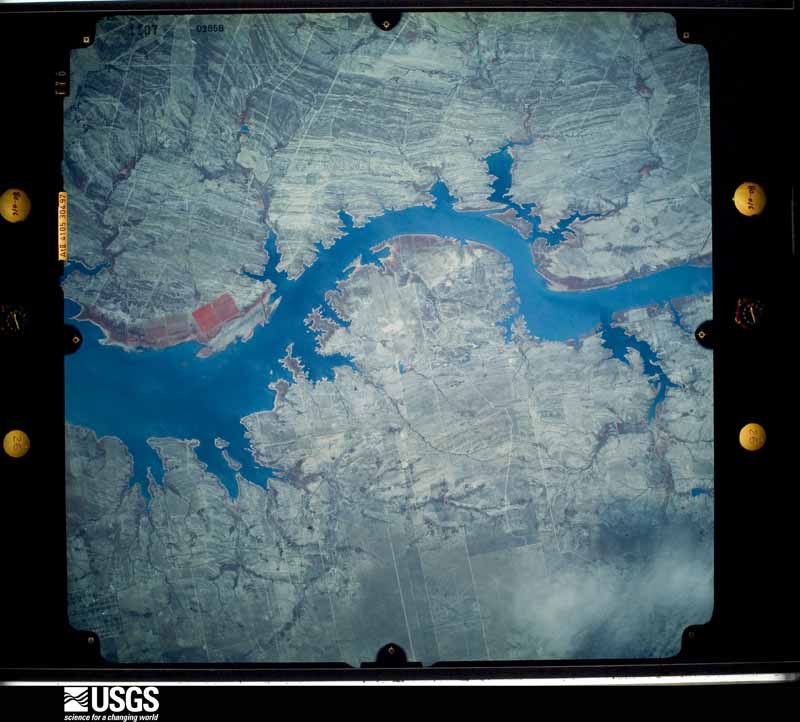
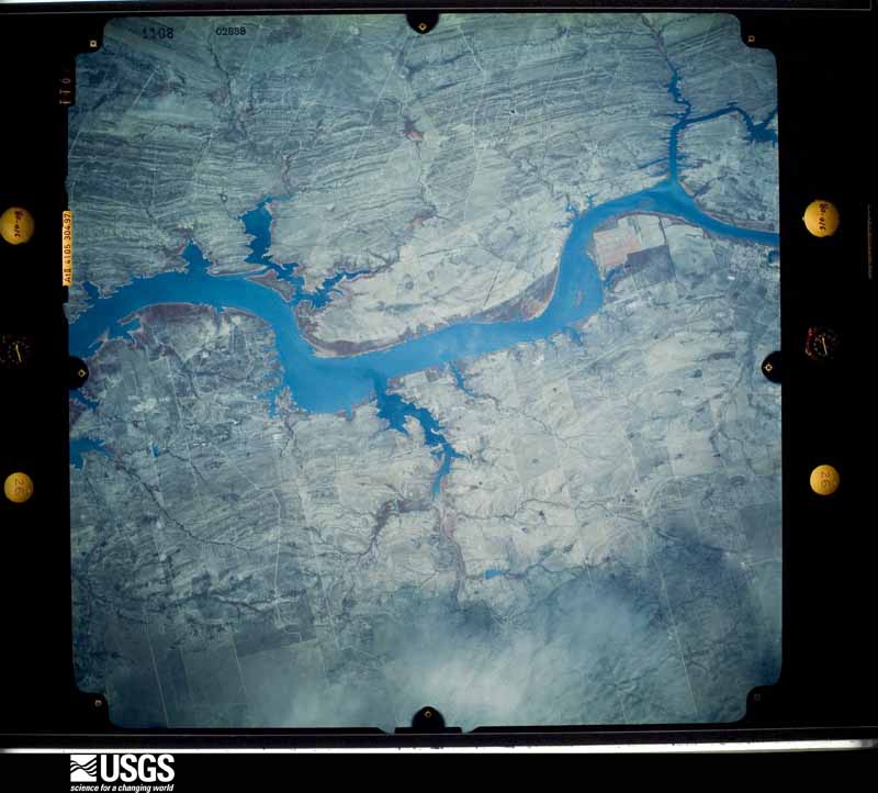
Flown by the U.S. Geological Survey between 1937 and 1989, the Aerial Photo Single Frames collection is the definitive mid-century view of the land: fields, roads and rivers as the camera saw them. The Survey holds 3,676 frames inside the rectangle that bounds this county; the 40 frames below were taken over the county itself, chosen across the decades of flights (at most four a year from that rectangle), so one flight cannot crowd out the rest. The full set is free to browse and download at EarthExplorer under the dataset Aerial Photo Single Frames.





The thermometers that kept this county's weather, as the federal records hold them. The extremes below are measured values from those records, not estimates.
Who lived here in 1950, one enumeration district at a time, as the Census Bureau described each district. Each row opens its official National Archives result, with Population Schedules and ED Maps available there.
Every wildfire the federal occurrence database records inside this county: 252 of them, burning about 22,923 acres. 2 started naturally and 2 were recorded as arson. Each settlement page carries the fires within five miles of it.
| Reported cause | Fires |
|---|---|
| Missing data/not specified/undetermined | 154 |
| Equipment and vehicle use | 37 |
| Debris and open burning | 36 |
| Power generation/transmission/distribution | 10 |
| Misuse of fire by a minor | 8 |
| Natural | 2 |
| Arson/incendiarism | 2 |
| Smoking | 1 |
| Railroad operations and maintenance | 1 |
| Recreation and ceremony | 1 |
The five largest, by the area the report gives. None of them was recorded as arson.
| Date | Cause | Size | Reported by | Name on the report |
|---|---|---|---|---|
| 25 March 2016 | Missing data/not specified/undetermined | 5,000 acres | Texas A & M Forest Service | EDWARD CASSIN RANCH |
| 28 January 2016 | Missing data/not specified/undetermined | 5,000 acres | Texas A & M Forest Service | JENNINGS RANCH |
| 27 December 2010 | Railroad operations and maintenance | 1,200 acres | South Texas Refuge Complex | MENDOZA |
| 9 June 2011 | Missing data/not specified/undetermined | 1,000 acres | Texas A & M Forest Service | N.US HWY 83 |
| 25 August 2015 | Natural | 1,000 acres | Texas A & M Forest Service | SAN YGNACIO |
| 3 March 2008 | Debris and open burning | 1,000 acres | South Texas Refuge Complex | SAN YGNACIO 2 |
| 27 February 2008 | Missing data/not specified/undetermined | 1,000 acres | Texas A & M Forest Service | not named |
| 13 May 2009 | Missing data/not specified/undetermined | 500 acres | Texas A & M Forest Service | EL PEDERNAL RANCH ZARAGOSA RODRIGUEZ GRASSFIRE |
Every settlement page carries the fires within five miles of it - see the settlement index below.
The NOAA Storm Events Database holds 157 reports for this county, causing no deaths, 40 injuries and about $8,544,000 in recorded property damage. Each settlement page carries the reports that name it.
| Kind of event | Reports |
|---|---|
| Hail | 52 |
| Thunderstorm Wind | 42 |
| Flash Flood | 29 |
| Heavy Rain | 17 |
| Flood | 8 |
| Tornado | 5 |
| Lightning | 4 |
The most serious of them, by death, then injury, then recorded damage. The accounts are quoted exactly as the forecast office filed them.
| When | Event | Place named | Harm | What the report says |
|---|---|---|---|---|
| May 1970 | Tornado (F2) | not stated | 20 hurt, $2,500,000 | no account filed |
| May 1970 | Tornado (F2) | not stated | 20 hurt, $2,500,000 | no account filed |
| July 2010 | Flood | Zapata Arpt | $1,000,000 | Incredible rainfall estimated to be more than 50 inches in around 10 days' time between June 30th and July 9th across the front range and peaks of the Sierra Madre Oriental in Coahuila Province, Mexico, ultimately flowed through the entire Lower Rio Grande basin for much of the summer of 2010. The rare and extreme event ultimately led to increasing water levels at both Amistad International Reservoir (northwest of Del Rio, TX) and Falcon International Reservoir (adjacent to Zapata County), the result of inflow from Mexican tributaries and upstream reservoirs along the Rio Salado and Rio Conchos in Nuevo Leon and Coahuila State, Mexico. ||At Falcon International Reservoir, where inflow from both the upstream Mexican tributaries and Amistad International Reservoir, which had begun releases of 35,000 cubic feet per second (cfs) on July 5th, the pool level rose above conservation stage (301.2 feet) during the morning of July 12th, and would continue a steady rise, reaching moderate flood stage (306.7 feet, the point where impacts begin along the shoreline) during the pre-dawn hours of July 14th. Despite an increase in releases from 39,700 cfs to 60,000 cfs from the Reservoir, the pool level continued to rise, peaking at a new record stage of 309.31 feet during the evening of July 17th. The continued high pool level required maintaining releases of 60,000 cubic feet per second for nearly 14 consecutive days, in order to maintain a manageable water level at the dam. At Falcon, the previous record of 308.1 feet (set in October, 1958) was not only broken, but the pool level remained above the prior record for nearly 7 full days, from around 130 AM CDT on July 15th through 930 PM on July 22nd. The pool level was above conservation level (301.2 feet) from the morning of July 12th through 4 PM on August 13th, more than a month. ||Releases were gradually lowered toward the end of the month as the pool level began to fall more steadily heading into early August.||During the period of time when the reservoir was in moderate flood, or above 306.7 feet, structures and infrastructure was impacted along the shoreline. At least 33 homes had some level of water incursion; damages were still being assessed as of this writing. Lakefront roads were under some water for weeks as well. Individual damage reports included an estimated $35.5 thousand to water pumps and related equipment. Business losses also mounted at the Reservoir, where bass fishing is popular. At least $15.3 thousand in losses was reported at Falcon State Park. ||As of late September, a best estimate for property and infrastructure damage in Zapata County was at least $1 million; more is likely when the assessments are completed in autumn 2010. |
| May 2008 | Thunderstorm Wind | Zapata Arpt | $750,000 | Damage from the microburst was first surveyed about 2 miles west of the center of town along and near Farm to Market (FM) Highway 496. In the neighborhood of Falcon Mesa, along FM 3074, numerous barrel tiles were torn from the roof; in the same neighborhood, numerous large limbs from ebony and live oak trees were blown down, and minor damage to roofs was noted at other homes. Similar tree and roof damage was noted at another neighborhood along Oak Street, just south of the Zapata Cemetary.||Farther east along FM 496, several large fiberglass storage tanks were rolled, and damaged beyond repair, at a facility between FM 3074 and the Zapata County cemetary. On the same property, a manufactured home had numerous holes in its west facing wall, from wind driven pebbles and stones. The same home had fairly significant asphalt shingle damage to its roof. A nearby low metal tower was bent in half.||The worst-looking damage was seen just west of the center of town, along FM 496 only 1/3 mile west of the intersection of Federal Highway 83. Here, significant damage was incurred to many units at the Highway 496 Storage facility. ||The microburst slammed into the west facing wall of the first of two long, cinderblock structures, and lifted most of the roof up and over the first building, slamming it into the second building about 50 feet to the east. While the truss and bracing of the roof appeared sound, only long nails were found at the connections of the eaves. Missiles generated by the broken roof drove into both cinderblock, and an individual metal garage, in the second building. Another light metal structure, housing another set of individual storage units, separated and collapsed on the leeward side of the second building. ||The microburst continued moving steadily southeast, causing notable damage to neighborhoods in the southwest part of town. Dozens of homes and other structures with poorly anchored roofing material sustained significant damage; a large portion of tin roof was removed from a two story church a few blocks from the center of town. Another barrel-tile roof was damaged at a motel, and the water leak caused at least one unit to be uninhabitable.||In all neighborhoods, hundreds of mesquite and ebony tree limbs of many shapes and sizes were snapped off, some onto roofs, including the town's public library. As the storm finally edged south, additional tree damage was noted in the Falcon Lake Estates subdivision, just south of the bridge, where a report of a blown down roof of a two story house was also received as the storm weakened slightly.||The Zapata County Emergency Manager reported power lines and several trees were down in Zapata and approximately 200 to 300 people were without power at 9 pm. ||Wind speeds were estimated to be between 70 and 75 mph area wide, with the strongest speeds generally along and just south of FM 496 from just west of the cemetary to highway 83. Total path length was estimated to be a little more than 3.5 miles long; width was estimated to be about 1.5 miles. |
| April 1993 | Hail | Zapata | $500,000 | Hail up baseball-size was reported in Zapata. Over 200 claims have been filed for damage to homes and cars. The hail penetrated metal awnings and damaged cactus plants in the area. |
| May 2022 | Flash Flood | Zapata | $300,000 | Video on social media shows several feet of fast moving water near Medina Street - a flood-prone area known as Medina Addition - with two SUVs that had been swept off the road and into a ditch. Video later shows the vehicles getting dragged out of the ditch by a tow truck. Based on the during and after videos, it is estimated that 3 to 4 feet of fast flowing water was moving across the road at the height of the flash flooding. Additional video shows people having to abandon homes during the height of the flooding and the water coming up to their waists, which supports the 3 to 4 foot estimates of fast moving water. A report of 8 of rain came in from just northwest of Zapata from this storm. The local newspaper in Zapata County later reported that at least 15 homes were affected with many of them losing their furniture, clothing, and household items. |
| May 2020 | Thunderstorm Wind | Zapata Arpt | $250,000 | A rapidly developing severe thunderstorm crossed the Rio Grande into Zapata County shortly after midnight on May 26. The storm produced damaging straight line winds across much of the city of Zapata, including portions of Medina Addition to the east and Sierra Shores to the south. Widespread damage was surveyed across the city with more than two dozen single wide mobile and manufactured homes having partial or total roof damage. Nearly all of the critically damaged infrastructure was of poor and older construction. More than a dozen wooden utility poles were leaning or broken, most of which had wet or rotting bases. Hundreds of healthy large tree branches were blown down, in addition to dozens of uprooted trees with shallow root systems. |
| May 2006 | Thunderstorm Wind | Zapata | $100,000 | Damaging winds associated with a severe thunderstorm completely blew a roof off of a medical clinic in Zapata. The winds also destroyed a mobile home and damaged canopies at a gas station. |
| August 2019 | Thunderstorm Wind | Zapata Arpt | $75,000 | Zapata County authorities and the Zapata County News (via the Emergency Management Coordinator) reported several instances of minor damage from a microburst during the late afternoon of August 24. In Falcon Heights (2 miles south-southeast of Zapata City), two anchored deer blinds were blown onto U.S. 83 from a nearby store display. In the city of Zapata, minor roof damage was reported to homes, several trees and large limbs were blown down, and power outages covered a large part of the city for 8 to 24 hours. |
| August 2016 | Flash Flood | Zapata Arpt | $75,000 | The Zapata County Emergency Manager reported flash flooding across Zapata County with six known swift water rescues in and near the city of Zapata. At least two vehicles were submerged, one in fast flowing water and another with water up to the door handles. Standing water levels reached three feet on some roads, and creeks that exceeded their banks left between one and two feet of fast flowing water nearby. The Zapata County Sheriffs Office reported a foot and a half of water over Highway 83 in Zapata. |
| May 2004 | Lightning | Zapata | $75,000 | A home burned to the ground after being struck by lightning. |
| May 2004 | Thunderstorm Wind | Zapata | $50,000 | A mobile home roof was reported to be blown off and a second mobile home suffered substantial damage. Branches were also twisted off several trees in the adjacent area. |
| May 2004 | Flash Flood | Zapata | $50,000 | Thunderstorms with very heavy rain produced flooding of streets in Zapata. Two cars were reported stranded in high water. |
| March 2007 | Flash Flood | Falcon Res North | $50,000 | no account filed |
| May 2021 | Thunderstorm Wind | Zapata Arpt | $45,000 | More than two dozen structures sustained varying damage to|poorly constructed wood, asphalt, and aluminum/tin roofs,|roof decking, and shingles in the Siesta Shores and Falcon|Heights neighborhoods in south Zapata, Texas. A poorly seated|cinder block knee wall and attached fence was blown down, and|a 100-foot tall thin metal tower was twisted. A few power poles|were knocked down by by flying aluminum roof pieces. Dozens of|medium mesquite limbs were blown down by flying aluminum roof|pieces. |
| September 2003 | Flash Flood | North Portion | $25,000 | Heavy rains led to flash flooding of streets in the Chihuahua area, making passing difficult. No flooding of homes or businesses was reported. |
| May 2002 | Tornado (F0) | Zapata | $25,000 | A brief tornado was reported by law enforcement officials in the city of Zapata. Several roofs were damaged with numerous reports of power outages. |
| September 2017 | Flood | San Ygnacio | $20,000 | Zapata County EM and US Customs and Border Protection reported high water out of the normal banks but within the berm area in and around San Ygnacio mainly on September 28th as a flood wave pushed south from Laredo toward Falcon International Reservoir. The high waters damaged U.S. Border Patrol equipment, including at least one generator, two light poles and one or two submerged vehicles. However, higher ground in San Ygnacio proper and above the river area was not impacted. Visual evidence showed the high water surrounding the equipment during the morning through afternoon hours, though high waters likely continued through the 29th. |
| March 2007 | Thunderstorm Wind | Zapata | $15,000 | Roof of a house was blown off onto electrical power lines in the community of Siesta Shores. |
| September 2003 | Flash Flood | Zapata | $15,000 | Heavy rains led to flash flooding of U.S. Highway 83 near Zapata, with arroyos adjacent to the roadway running full. Substantial flooding of roadways was also reported in the City of Zapata. |
| April 2015 | Thunderstorm Wind | Zapata Arpt | $10,000 | Dozens of limbs, trees, and powerlines were reported down across the city of Zapata. |
| July 2013 | Thunderstorm Wind | San Ygnacio | $10,000 | Estimated downburst winds of around 65 mph damaged the roofs of homes and a small business, snapped tree limbs, and blew over a number of trailers at the San Ygnacio RV park. |
| August 2008 | Lightning | Escobas | $10,000 | The Zapata County Sheriffs Department received a report of lightning striking a salt water storage tank near Escoba. The storage tank exploded and started a grass fire. |
| April 2007 | Thunderstorm Wind | Zapata | $10,000 | Laredo media reported roof damage to hardware store in Zapata. |
| April 2007 | Hail | Escobas | $10,000 | A trained SKYWARN weather spotter reported hail to the size of golf balls. |
| April 2004 | Hail | Zapata | $10,000 | Chief of Zapata Police reported broken windshields on vehicles 2 miles east of State Highway 83 on FM road 2687. |
| August 1995 | Thunderstorm Wind | Zapata | $10,000 | Power lines were down and trees were damaged. |
| August 2016 | Lightning | Zapata | $7,500 | The Zapata County Emergency Manager also reported three lightning strikes to power poles in the Medina Addition, Siesta Shores, and in Falcon and a lightning strike to a gas tank in Aguilares. |
| May 2020 | Thunderstorm Wind | San Ygnacio | $5,000 | At least 3 power poles broken 1 mile north of San Ygnacio on US-83 and some tree damage reported in the town of San Ygnacio. Time estimated via radar. |
| May 2012 | Lightning | Zapata Arpt | $5,000 | Frequent to excessive lightning knocked out power to the south half of the City of Zapata during a severe thunderstorm during the late evening of May 10th. |
| August 2008 | Flash Flood | Zapata | $5,000 | Developing thunderstorms that initially affected Starr County during the late afternoon of the 22nd gradually spread north, generally along Federal Highway 83, helping to develop other torrential rains into western Zapata County. The Zapata fire department reported widespread flooding in the town of Zapata, ongoing at 730 PM CDT. There was likely additional road flooding along portions of Federal Highway 83 between the Falcon Dam area and Zapata, where some of the heavier rains developed, into the mid evening. |
| May 1995 | Thunderstorm Wind | Zapata | $5,000 | Trees and power lines down. |
| May 1997 | Thunderstorm Wind | Zapata | $5,000 | no account filed |
| September 1956 | Tornado (F2) | not stated | $2,500 | no account filed |
| April 2020 | Thunderstorm Wind | Zapata Arpt | $2,000 | The Deputy Emergency Management Coordinator, along with the public, reported several instances of minor wind damage in Zapata and Siesta Shores just to the south during the mid evening of April 28, 2020. Damage included several felled limbs of mesquite trees in Zapata City park, a poorly constructed awning blown down to an recreational vehicle on the west side of the city, and a power pole leaning along Swope Lane in Siesta Shores. Based on other recent wind events in the City, wind speeds were estimated to be just below severe (58 mph) levels. |
| May 2015 | Flash Flood | Zapata | $2,000 | Zapata County Sheriffs Office reported reported that a family on the north side of Zapata was evacuated due to water entering the home. |
| September 2011 | Thunderstorm Wind | Tacubaya | $2,000 | An off duty inspector for Zapata County reported, and photographed, wind damage to an under construction foam building in Zapata after a vigorous outflow boundary/gust front crossed the area during the late afternoon of September 29th. Winds at nearby Zapata County Airport (Medina) were clocked at 44 mph 5 minutes earlier. Construction type and damage, combined with no nearby reports of more traditional damage (large limbs, roof material, etc.) suggested a pulse gust below 58 mph. |
| April 2009 | Hail | Zapata | $2,000 | Hail fell for more than 15 minutes near Zapata County during the mid evening. The Zapata County Emergency Management Coordinator received a report of quarter size hail in the Las Palmas subdivision, about 4 miles northeast of the City of Zapata. The Manager of the Zapata County Airport noted quarter size hail as well, which cause indentations in some vehicles' hoods. Some larger stones of unknown size were embedded with the quarter sized hail field. |
| June 2003 | Thunderstorm Wind | Zapata | $2,000 | Emergency management official reported minor damage to homes from thunderstorm winds. |
| June 1998 | Thunderstorm Wind | Falcon | $2,000 | Extensive tree damage |
| September 1996 | Thunderstorm Wind | Zapata | $2,000 | no account filed |
| May 2024 | Thunderstorm Wind | San Ygnacio | $1,000 | An Emergency Management Coordinator reported a downed powerline along U.S. highway 83 near the Zapata/Webb County line. |
| May 2015 | Thunderstorm Wind | Zapata | $1,000 | Zapata County Sheriffs Office reported a trampoline blown on top of power lines in Zapata. 40 mph gust reported at Zapata County Airport (Medina), approximately 6 miles north of the damage location. Event wind speed estimated based on proximity and no other corroborating damage. |
| April 2010 | Flash Flood | Zapata | $1,000 | The Chief of Police in the City of Zapata reported one and one half feet of water was flowing on Alamo St. and State Highway 16. The arroyo at Highway 16 and Carla Street overflowed its banks, with one and one half feet of water flowing over the road there as well. Heavy creek and arroyo flooding was also reported at the Manuel Medina Addition colonia, south of Zapata County Airport. |
| April 2009 | Flash Flood | San Ygnacio | $1,000 | Torrential rains fed by continuing outflows from storms along the Sierra Madre Oriental blitzed the west half of Zapata County during hte mid evening. The Zapata County Sheriffs Office reported minor flooding along Federal Highway 83 in the San Ygnacio area north of the City of Zapata toward the Webb County line. The flooding was reported between Corralitos and the La Perla Ranch, Lake #4, area. ||The Manager of the Zapata County Airport recorded 3.75 inches of rain, in addition to the fairly long duration of quarter size hail. Radar rainfall estimates were over 7 inches, but likely contaminated by the prodigious hail. Still, it is conceivable that more than 4 inches fell in a few spots, leading to enough water flowing across roads to consider the event a Flash Flood. |
| August 2008 | Flash Flood | San Ygnacio | $1,000 | Water and mud was covering portions of US Highway 83 near and north of San Ygnacio as a result of thunderstorms which produced heavy rainfall in the area during the afternoon. Water was also flowing across the highway during this time, as well. |
| May 2025 | Hail | San Ygnacio | - | Zapata County Sheriff's office state that the public reported golf ball to softball size hail iin the city of San Ygnacio. The hail derived from a supercell thunderstorm that moved east from the foothills of the Sierra Madre Oriental mountains in northern Mexico. As of this writing, no damage was reported - though there may have been some. |
| July 2024 | Flash Flood | Zapata Arpt | - | Radar estimates of 4 to 6 inches of rainfall fell over a 3 hour period. Flooding was reported with high water as high as 2 feet flowing over Highway 16 in the city of Zapata. Water was reported in a home in the Medina Addition. |
| May 2024 | Hail | San Ygnacio | - | Baseball size hail was reported in San Ygnacio, related by the Zapata County Sheriff's office. |
| April 2023 | Hail | Lopeno | - | Zapata County Sheriff's Office reported a car swerving off the road in Morales-Sanchez due to hail the size of golf balls. |
| May 2022 | Hail | Zapata Arpt | - | The Zapata County Fire Department reported hail the size of a quarter, or 1.0, in Zapata at 8:20PM CDT. |
| May 2022 | Flood | Zapata | - | Law enforcement reported minor street flooding due to very heavy rain near the Medina Subdivision near Zapata County High School. |
| May 2022 | Flood | Zapata Arpt | - | Exceptionally heavy rain led to street flooding at the intersection of Highway 83 and 9th Avenue in Zapata County. |
| May 2022 | Hail | Zapata Arpt | - | Hail the size of a penny, or 0.75, was reported by the Zapata County Emergency Manager near the Siesta Shores Subdivision at 11:43AM CDT. Law enforcement reported hail the size of nickels, or 0.88, at the Falcon Lake Estates subdivision at 11:49AM CDT. |
| May 2020 | Flood | Zapata Arpt | - | Minor flooding and high standing water was reported 3 miles north of Zapata by Hilcorp on US 83. Time estimated by radar. |
| May 2020 | Flood | Zapata Arpt | - | Water depth of 1.5 feet was reported across all lanes of SR-16 between Alamo and Carla Streets. Time estimated via radar. |
| May 2020 | Flood | Zapata | - | Minor flooding was reported in the Medina addition with arroyo overflowing on Guerrero Ave. between 4th and 7th St. up with up to 2 feet of flowing water depth. Time estimated via radar. |
| June 2020 | Flood | Zapata | - | As some isolated thunderstorms merged in northwestern Zapata County and slowly moved south-southwest, heavy rainfall caused some minor flooding. An Emergency Manager called to report ongoing minor street flooding with at least 1 foot of water depth at the intersection of Highway 16 and Alamo Street at 7:11 PM CDT. |
| May 2019 | Hail | San Ygnacio | - | The Zapata County Sheriff's Office reported estimated nickel-sized hail, wind gusts of 35 to 40 mph, and low visibility from heavy rainfall along US Highway 83 about 5 miles north-northeast of San Ygnacio. |
| May 2017 | Flash Flood | Zapata | - | Zapata County Sheriff's Office reported the Medina addition arroyo was flooded with water and there was flooding in the city of Zapata. Radar estimated 3 to 4 inches of rainfall. |
The Survey's mineral resources record lists 1 working inside this county. It still produces. Each settlement page carries the workings within five miles of it.
| Commodity | Workings |
|---|---|
| Stone, Crushed/Broken | 1 |
The least common of them first, because a county's hundredth gravel pit says nothing its first ten did not.
| Where | Site | Commodity | Status | Recorded |
|---|---|---|---|---|
| Pit | Stone, Crushed/Broken | Producer |
Named settlements recorded in the Geographic Names Information System, each with the topographic sheets covering it. Villages, hamlets and abandoned places alike. Each is shown with the nearest named watercourse or landform and the survey quadrangle it falls on.
Zapata census division · 78076 · Near Arroyo Valeriano · Zapata quadrangle
10 sheets, 1949 to 1985
Zapata census division · 78076 · Near Arroyo Torcido · Zapata quadrangle
10 sheets, 1949 to 1985
Zapata census division · 78076 · Near Arroyo Valeriano · Zapata quadrangle
10 sheets, 1949 to 1985
Zapata census division · 78076 · Near Arroyo Valeriano · Zapata quadrangle
10 sheets, 1949 to 1985
San Ygnacio census division · 78067 · Near Mendez Hills · O'Keefe Lake quadrangle
8 sheets, 1933 to 1985
Zapata census division · 78545 · Near Arroyo Los Guajes · Lopeno quadrangle
10 sheets, 1938 to 1985
Zapata census division · 78076 · Near Arroyo Indio · Zapata quadrangle
10 sheets, 1949 to 1985
Zapata census division · 78076 · Near Arroyo Indio · Zapata quadrangle
10 sheets, 1949 to 1985
Zapata census division · 78076 · Near Arroyo Valeriano · Zapata quadrangle
10 sheets, 1949 to 1985
Zapata census division · 78076 · Near Arroyo Valeriano · Zapata quadrangle
10 sheets, 1949 to 1985
Zapata census division · 78564 · Near Arroyo del Tigre Chiquita · Lopeno quadrangle
10 sheets, 1938 to 1985
Zapata census division · 78076 · Near Arroyo Valeriano · Zapata quadrangle
10 sheets, 1949 to 1985
Zapata census division · 78076 · Near Arroyo Valeriano · Zapata quadrangle
10 sheets, 1949 to 1985
Zapata census division · 78076 · Near Arroyo Correhuella · Arroyo Miguel quadrangle
10 sheets, 1949 to 1985
Zapata census division · 78076 · Zapata quadrangle
10 sheets, 1949 to 1985
Zapata census division · 78545 · Near Arroyo Los Guajes · Lopeno quadrangle
10 sheets, 1938 to 1985
Zapata census division · 78545 · Near Arroyo Los Guajes · Lopeno quadrangle
10 sheets, 1938 to 1985
San Ygnacio census division · 78067 · Near Arroyo Zacatoso · San Ygnacio quadrangle
9 sheets, 1942 to 1985
Zapata census division · 78076 · Near Arroyo Valeriano · Zapata quadrangle
10 sheets, 1949 to 1985
San Ygnacio census division · 78067 · Near El Arroyo Zopilote · San Ygnacio quadrangle
9 sheets, 1942 to 1985
San Ygnacio census division · 78067 · On El Grullo Creek · San Ygnacio quadrangle
9 sheets, 1942 to 1985
Zapata census division · 78076 · Zapata SE quadrangle
10 sheets, 1949 to 1985
Zapata census division · 78076 · Zapata SE quadrangle
10 sheets, 1949 to 1985
Zapata census division · 78076 · Zapata SE quadrangle
10 sheets, 1949 to 1985
Zapata census division · 78076 · Near Arroyo Molletes · Zapata quadrangle
10 sheets, 1949 to 1985
San Ygnacio census division · 78067 · On El Grullo Creek · San Ygnacio quadrangle
9 sheets, 1942 to 1985
Zapata census division · 78076 · Near Arroyo Valeriano · Zapata quadrangle
10 sheets, 1949 to 1985