 Block
BlockAndice, Texas
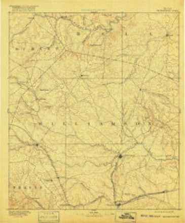
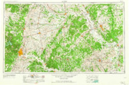
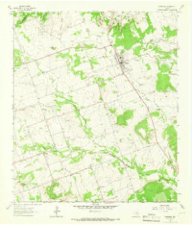
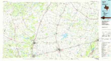
13 topographic sheets cover this place, the earliest surveyed in 1893 and the latest in 1985. It stands in the Florence census division. It lies in ZIP code area 78633. The Survey maps it on the Florence quadrangle. 25 people lived here at the 2003 count.
Topographic sheets covering this place
4 surveys from 13 printed sheetsMatched by testing this settlement's coordinate against the published boundary of every sheet in the United States Geological Survey's historical collection. Each opens the scanned sheet at the Survey.
- 1893 USGS Georgetown quadrangle1:125000, 5 printings
- 1954 USGS Austin quadrangle1:250000, 4 printings
- 1964 USGS Florence quadrangle1:24000, 2 printings
- 1985 USGS Taylor quadrangle1:100000, 2 printings
Fires near this place
172 since 2004Regional context, not property-specific evidence. The federal wildfire occurrence database lists 172 fires within 5 miles of Andice between 2004 and 2020, burning about 762 acres in total. 6 started naturally. 6 were recorded as arson. Distance is straight-line from the map coordinates, so a fire counted here may appear on a neighbouring settlement's page as well.
| Reported cause | Fires |
|---|---|
| Debris and open burning | 60 |
| Missing data/not specified/undetermined | 51 |
| Equipment and vehicle use | 35 |
| Power generation/transmission/distribution | 7 |
| Arson/incendiarism | 6 |
| Natural | 6 |
| Smoking | 6 |
| Recreation and ceremony | 1 |
The most recent of them, most recent first, with the day each was reported and the service that recorded it.
| Date | Cause | Size | Reported by | Name on the report |
|---|---|---|---|---|
| 4 September 2019 | Missing data/not specified/undetermined | under an acre | Texas A & M Forest Service | 10000 US183 |
| 28 September 2005 | Smoking | 1.0 acres | Texas A & M Forest Service | not named |
| 24 September 2019 | Debris and open burning | under an acre | Texas A & M Forest Service | MEMO |
| 2 September 2013 | Equipment and vehicle use | 1.0 acres | Texas A & M Forest Service | 800 ABBEY RD |
| 17 September 2015 | Debris and open burning | 3.0 acres | Texas A & M Forest Service | 845 CR220 |
| 13 September 2015 | Equipment and vehicle use | 1.0 acres | Texas A & M Forest Service | 4250 N US 183 |
| 1 September 2007 | Missing data/not specified/undetermined | 1.0 acres | Texas A & M Forest Service | not named |
| 1 September 2007 | Equipment and vehicle use | under an acre | Texas A & M Forest Service | not named |
Settlements close enough to share some of these fires:
Mines and quarries near this place
1 within 5 milesRegional context, not property-specific evidence. The federal mineral resources record lists 1 working within 5 miles of Andice: 1 past producer. None of them still produces. What was taken out: Stone, Crushed/Broken. Distance is straight-line from the map coordinates, so a quarry counted here may appear on a neighbouring settlement's page as well.
| Where | Site | Commodity | Status | Recorded |
|---|---|---|---|---|
| Texas Calcium Corp Abandoned Pit | Stone, Crushed/Broken | Past Producer |
Storms near this place
23 since 1997Regional context, not property-specific evidence. The National Weather Service names Andice in 23 storm reports between 1997 and 2025: 10 hail, 6 thunderstorm wind, 4 tornado, 2 flash flood. No death or injury is recorded in these reports. Each account below is quoted exactly as the forecast office filed it, from the NOAA Storm Events Database, and each date opens the federal record of that event.
| When | Event | Place named | Harm | What the report says |
|---|---|---|---|---|
| July 2025 | Flash Flood | Andice | $25,000,000 | There was extensive flooding along the San Gabriel River across the county. In Georgetown two apartment complexes were evacuated. Flood waters knocked trees and damaged light poles in San Gabriel Park. Flooding at College St. and W. L. Walden Dr. prompted evacuations of the Georgetown Animal Shelter, VFW Post, Masonic Lodge, Holly Street Village, and the San Gabriel Crisis Center. The S. Austin Ave. bridge was closed. Two RV parks downstream flooded and damaged or destroyed 30 or more RVs many of which were described as unsalvageable. The city of Georgetown removed over 3500 cubic feet of debris for along the river. Across the county there were ten water rescues saving 27 people. Most of the rescues were from homes. Twenty-nine roads were closed around the county. At least six roads had damage to pavement. At least 54 structures were damaged or destroyed. The Emergency Manager estimated the cost of damage to public property and infrastructure at $25 million. |
| May 2002 | Thunderstorm Wind | Andice | $250,000 | The Williamson County Sheriff's Department reported trees knocked down and roofs blown off homes in the Andice area. In addition, a trailer home was blown off its foundation. Wind gusts in the downburst were estimated at between 55 and 65 knots. |
| June 2007 | Flash Flood | Andice | $150,000 | Scattered to numerous thunderstorms over northern Travis and southern Williamson Counties produced 2 to 4 inches of rain. Highest totals in Williamson County were 8 inches in Cedar Park. Ten evacuations were required along Smith Branch Creek and Brushy Creek due to the high water and several county shelters were opened. Most rural roads in southern Williamson County were closed, including FM260, FM1431, and SH29 where it intersects with SH95. At least 8 high water rescues were made in the Liberty Hill area. |
| May 2011 | Tornado (EF0) | Andice | $100,000 | The National Weather Service conducted a damage survey near the Andice area in western Williamson County. Talking to several local residents have brought the conclusion that the initial spin up of the weak tornado occurred around 9pm and|lasted probably 5 minutes as it tracked to the North Northeast. Residents to the southeast of Andice reported seeing a lot of circulation under the storm with several different funnels. Damage was first seen just to the south of ranch road 2338 about 1.5 miles SSE of Andice. Minor damage to several mobile homes occurred at this area including a carport and deck which were destroyed. The tornado crossed Ranch Road 2338 and went NNE and crossed county roads 250 and 251. Several areas of tree damage were noted. Two residences along County Road 251 experienced damage including a screened in porch that was tossed over the house. Large hay bales were also found in the road...being rolled many yards from their original location. There were no deaths or injuries. Maximum winds are estimated to have been 80 MPH. |
| May 2006 | Thunderstorm Wind | Andice | $100,000 | Severe thunderstorm winds damaged roofs and blew down small out-buildings near Andice. |
| July 1997 | Thunderstorm Wind | Andice | $20,000 | Public reports high winds causing damage to outbuildings. |
| March 2021 | Thunderstorm Wind | Andice | $5,000 | A thunderstorm produced wind gusts estimated at 60 mph that knocked down approximately 200 feet of fence in Andice. |
| May 2011 | Thunderstorm Wind | Andice | $5,000 | A thunderstorm produced wind gusts to an estimated 50 knots which caused damage to mobile homes and blew down some fences in and around Andice. |
| May 2025 | Hail | Andice | - | A thunderstorm produced quarter size hail in Andice near the intersection of CR 208 and CR 236. |
| May 2025 | Hail | Andice | - | A thunderstorm produced penny size hail northwest of Georgetown. |
| May 2025 | Hail | Andice | - | A thunderstorm produced quarter size hail northwest of Andice. |
| May 2025 | Hail | Andice | - | A thunderstorm produced quarter to half dollar size hail northwest of Andice. |
| April 2025 | Hail | Andice | - | A thunderstorm produced ping pong ball size hail at the intersection of CR 208 and CR 236 northwest of Andice. |
| May 2024 | Hail | Andice | - | A thunderstorm produced quarter size hail in Andice. |
| April 2022 | Hail | Andice | - | A thunderstorm produced quarter size hail in Andice. |
| May 2020 | Hail | Andice | - | A thunderstorm produced quarter size hail between Andice and Sun City. |
| March 2016 | Tornado (EF0) | Andice | - | A storm survey by the Williamson County emergency manager and the National Weather Service determined that a small EF0 tornado caused damage a few miles southeast of Andice. As a cluster of storms approached the area, the small tornado formed and caused minor damage to trees, outbuildings, and a few residences near the intersection of County Road 248 and Ranch Road 2338. The small tornado appears to have formed about one mile south of 2338 and then crossed CR248 near the CR248 and RR2338 intersection. The tornado then dissipated as it crossed and moved north of RR2338. Maximum winds in the tornado were estimated at 80 mph. |
| May 2015 | Tornado (EF0) | Andice | - | A NWS storm survey concluded that a weak and brief EF-0 tornado touched down near the end of Brizendine Rd. in far NW Williamson County. Minor roof damage was observed along with tree damage. Peak winds were estimated at 85 mph. |
| September 2011 | Thunderstorm Wind | Andice | - | A thunderstorm produced wind gusts estimated at 58 mph which knocked down powerlines along Ranch Road 2338. |
| May 2011 | Funnel Cloud | Andice | - | A funnel cloud was observed by a member of the Florence Fire Department. |
| May 2006 | Tornado (F0) | Andice | - | A small, short-lived tornado touched down briefly, damaging a home and tearing the roof off a barn. It them moved into an open field and dissipated. |
| December 2018 | Hail | Andice | - | no account filed |
| May 1999 | Hail | Andice | - | no account filed |
Nearest settlements
The eight closest, with where each one stands in the county. Distances are straight-line, computed from the Geographic Names Information System coordinates.
| Map | Place | Distance | Sheets |
|---|---|---|---|
| Greens Crossing | 4.5 miles | 13 | |
| Florence | 5.1 miles | 13 | |
| Hunt Crossing | 6.7 miles | 15 | |
| Santa Rita Ranch | 8.2 miles | 15 | |
| Sun City | 8.5 miles | 20 | |
| Liberty Hill | 8.9 miles | 13 | |
| Seward Junction | 8.9 miles | 13 | |
| Russell Crossing | 9.3 miles | 15 |
Elsewhere
Matched on this settlement's Geographic Names Information System number rather than its name, so it cannot be a different place of the same name in another state.
| Wikipedia article on Andice | An encyclopaedic summary. Its text is share-alike, so it is linked here rather than copied. |
| Wikidata item Q4754446 | The structured record the population and elevation above come from. Public domain (CC0). |
Provenance
This settlement is recorded in the Geographic Names Information System as feature 1351116. The sheet list is computed by point-in-boundary test against the United States Geological Survey's historical topographic inventory. Both are works of the United States government and carry no copyright under 17 U.S.C. 105.
Wildfire. Short, Karen C. 2022. Spatial wildfire occurrence data for the United States, 1992-2020 [FPA_FOD_20221014]. 6th Edition. Fort Collins, CO: Forest Service Research Data Archive. https://doi.org/10.2737/RDS-2013-0009.6 Collected with United States Government funding and usable without additional permissions or fees.
Mines and quarries. USGS Mineral Resources Data System (MRDS) https://mrdata.usgs.gov/mrds/ A work of the United States government, no copyright under 17 U.S.C. 105.
Storms. NOAA National Centers for Environmental Information, Storm Events Database https://www.ncei.noaa.gov/stormevents/ A work of the United States government, no copyright under 17 U.S.C. 105. Narratives are quoted verbatim from the National Weather Service report and are not edited or summarised.