Block
BlockFrom the record
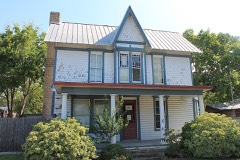
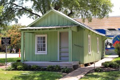
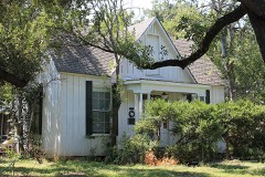
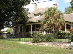
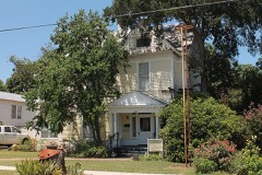
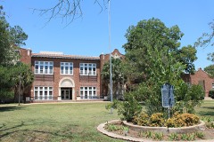
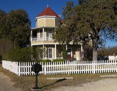
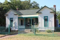
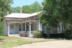
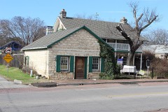
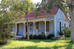
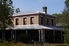
74 National Register listings published here.
Sources: the National Register database, National Park Service
100 topographic sheets cover 62 settlements here, and 74 properties are on the National Register of Historic Places.
74 National Register listings published here.
Sources: the National Register database, National Park Service
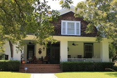
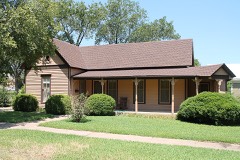
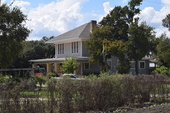
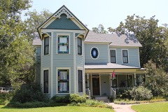
Every property in this county listed on the National Register of Historic Places, with the year it was listed and the federal nomination document.
Drawn when these were printed as single large sheets: the town seen from the air, and the county divided into its farms with every owner named. Each opens the original at the Library of Congress.


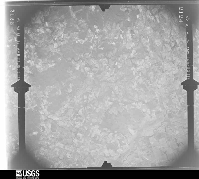
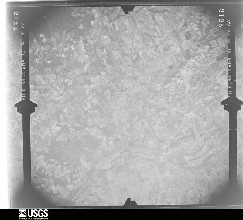
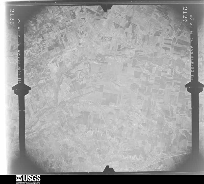
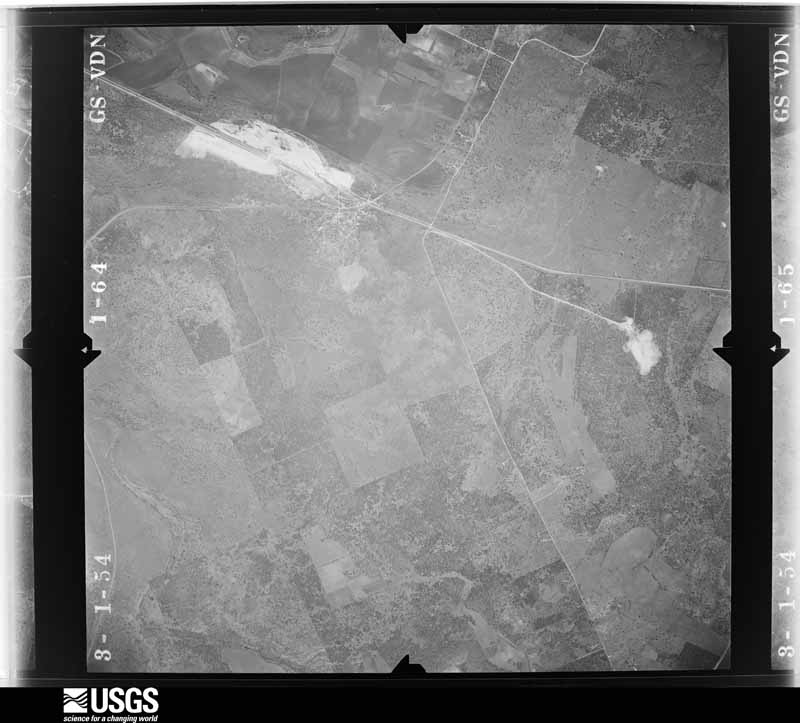
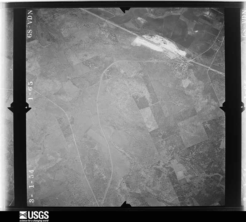
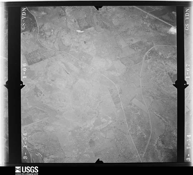
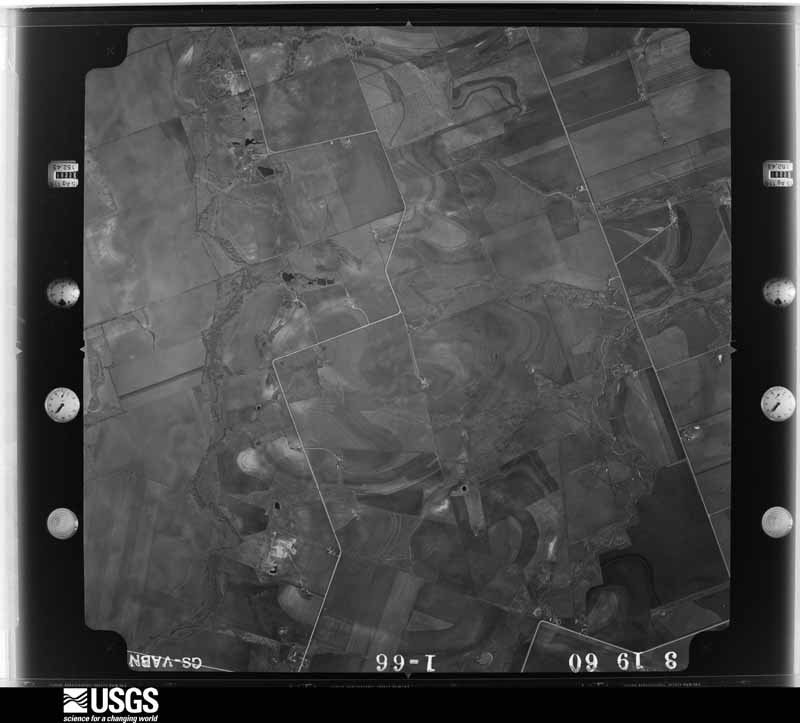
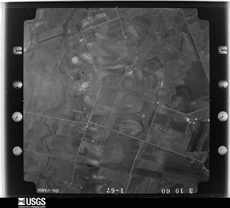
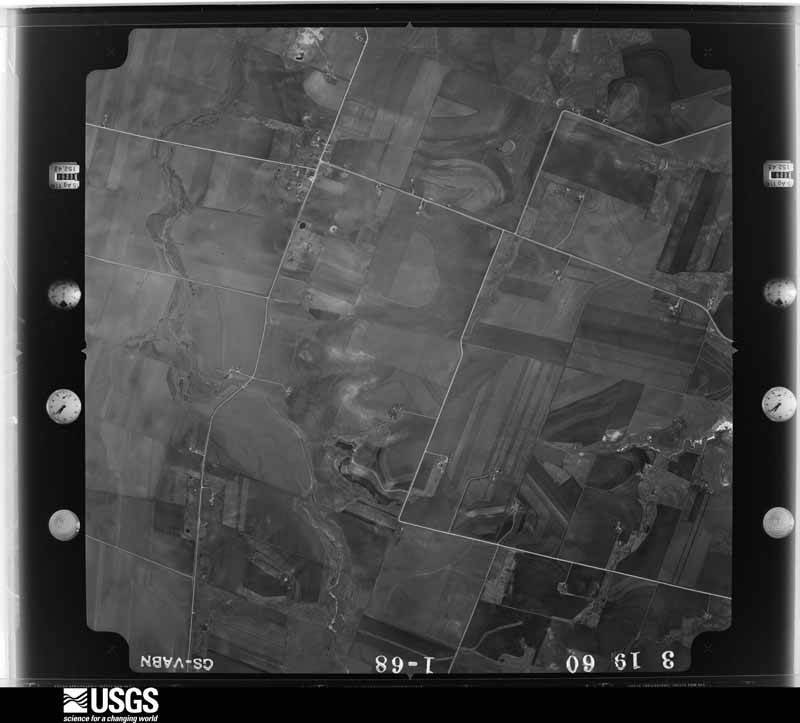
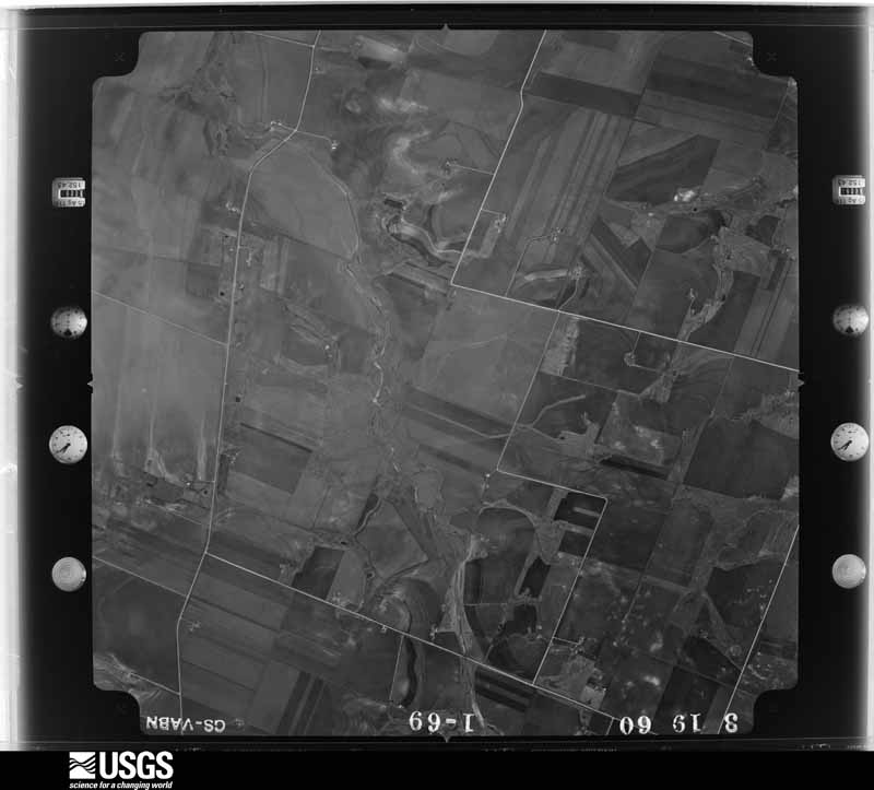
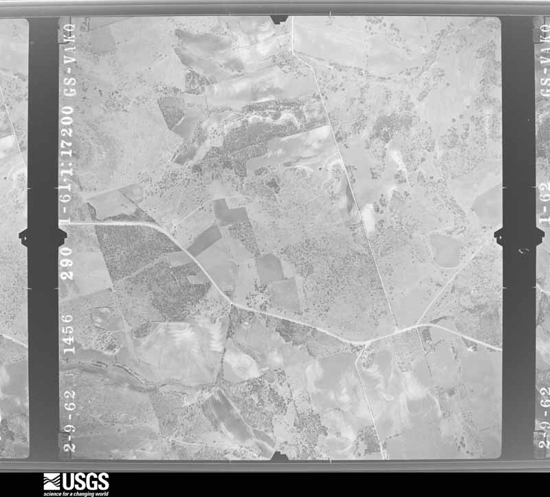
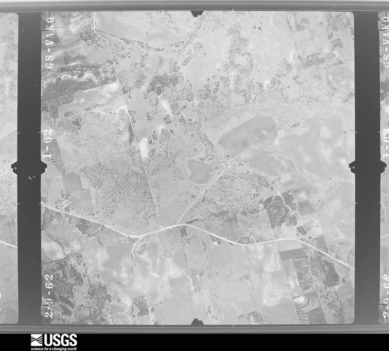
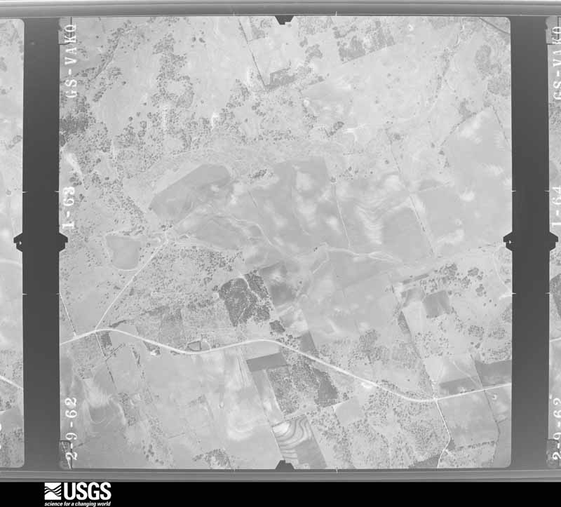
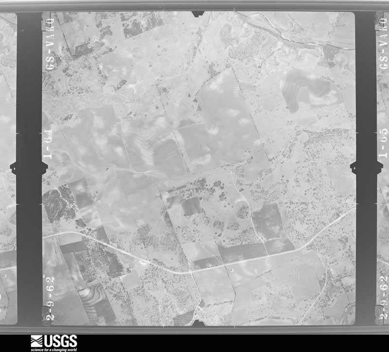
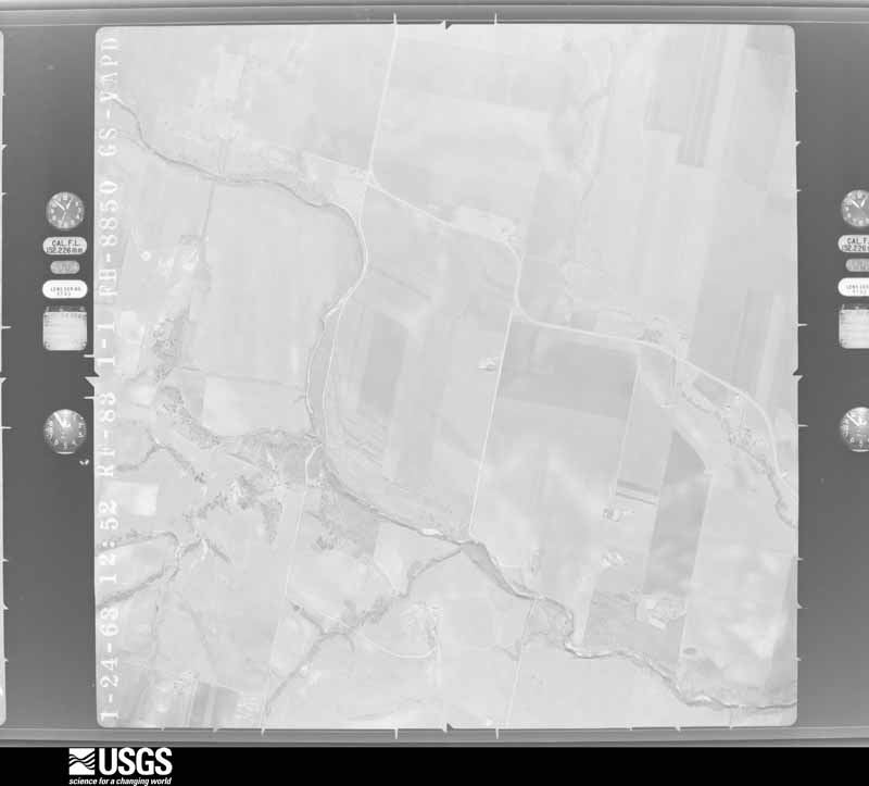
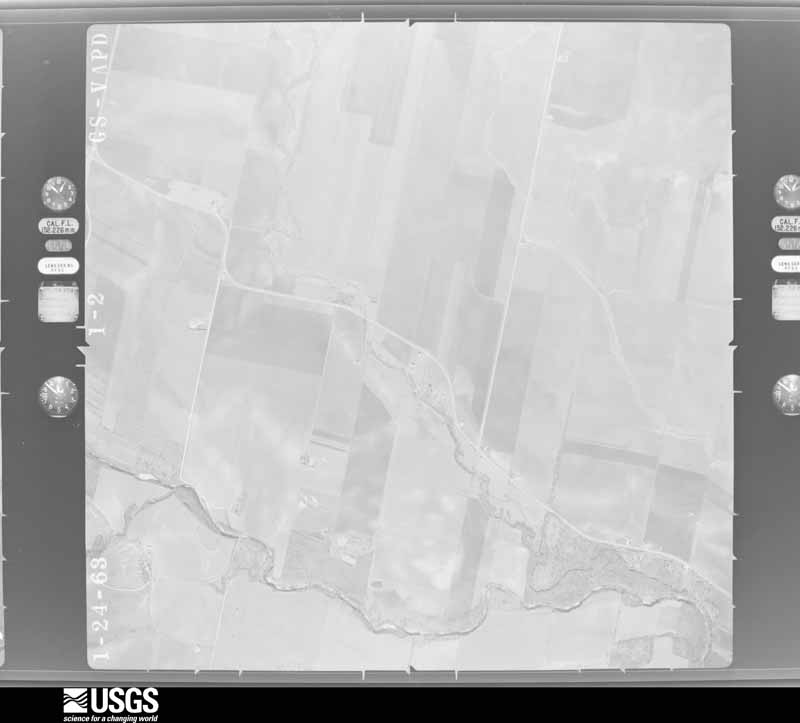
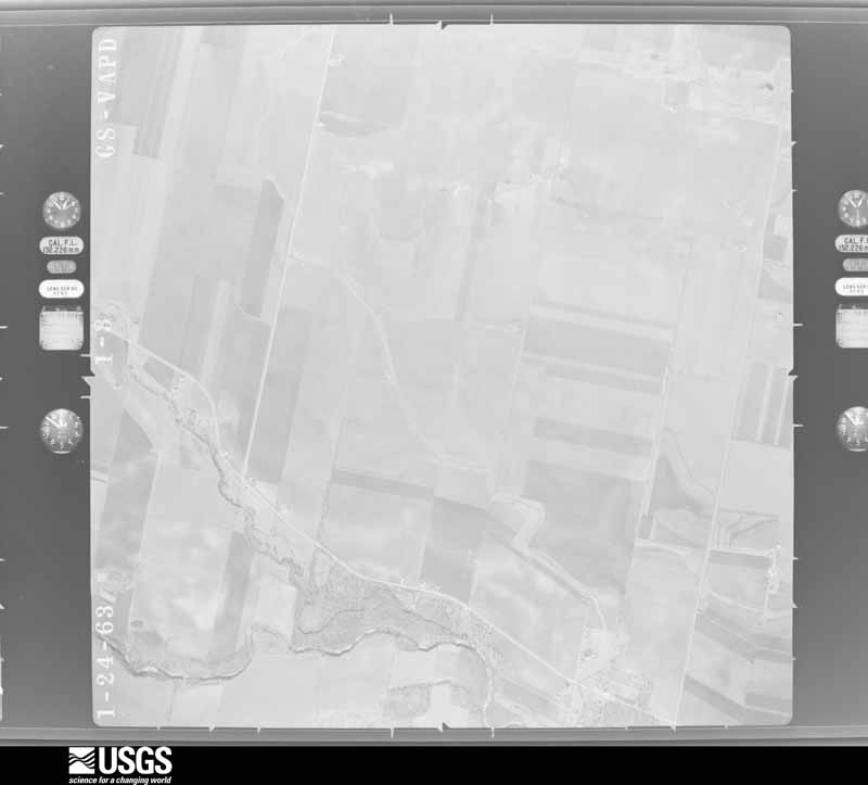
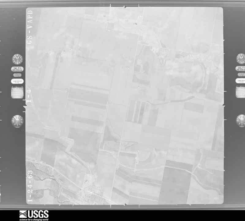
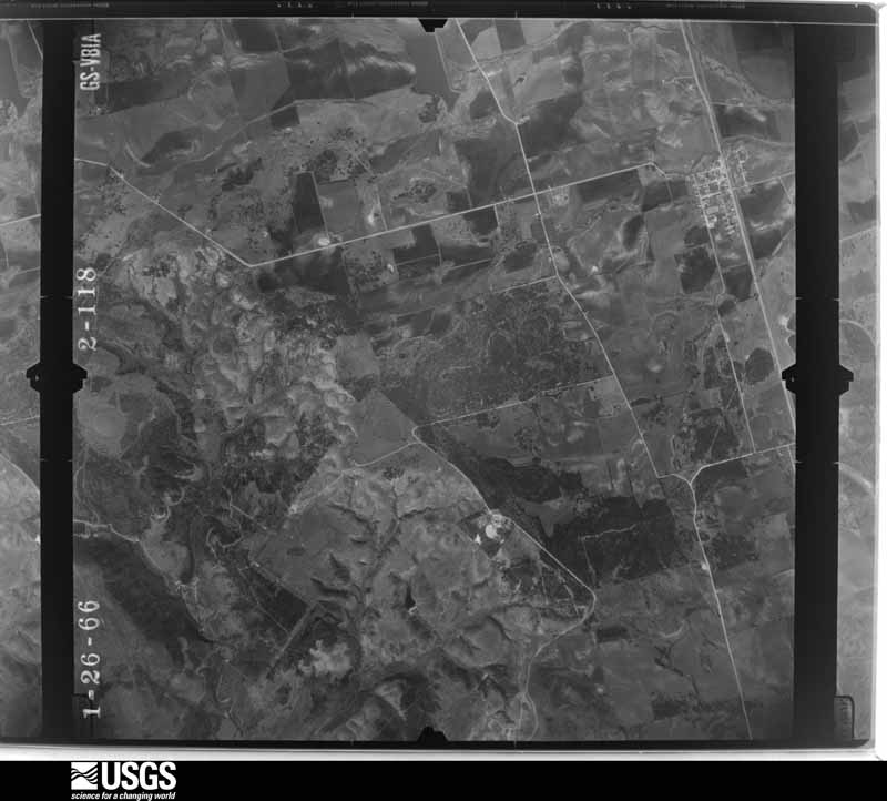
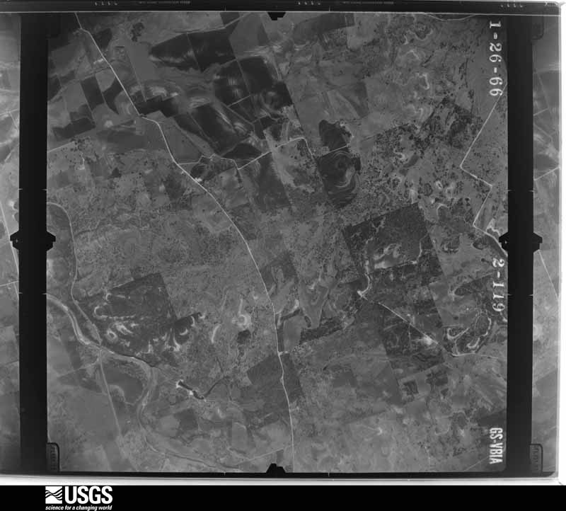
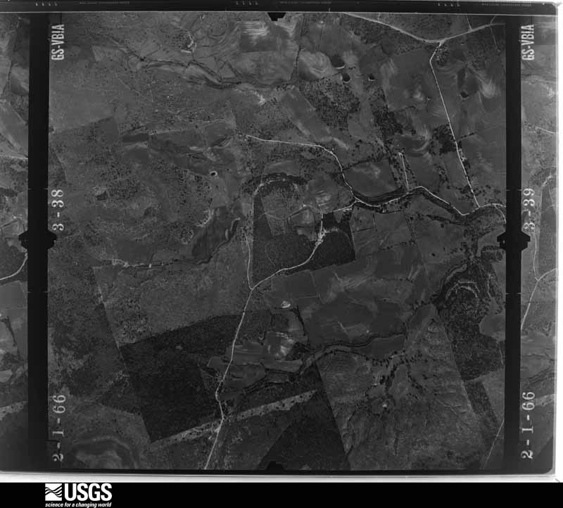
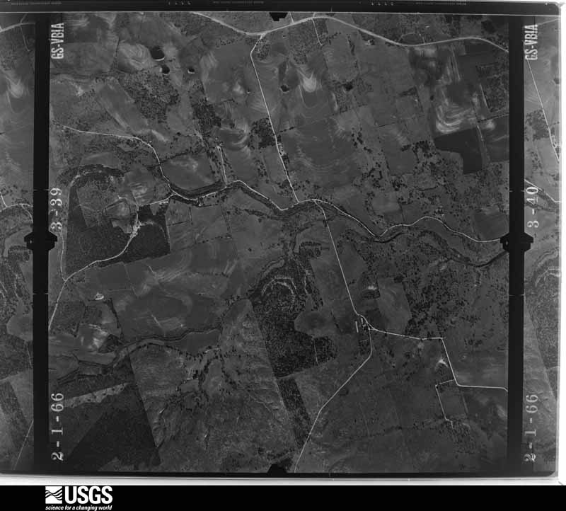
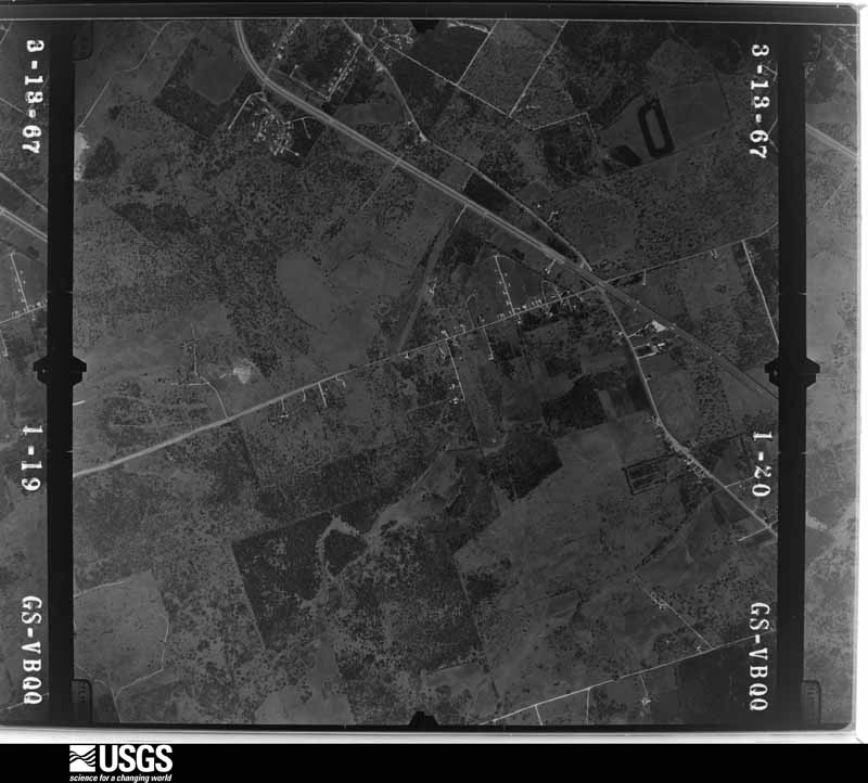
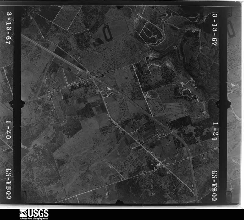
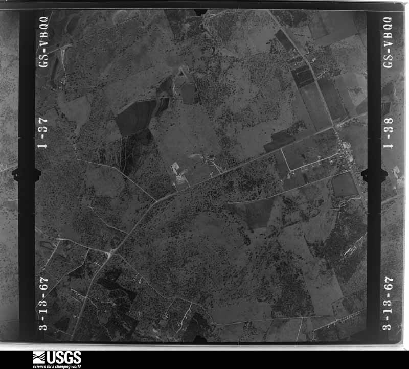
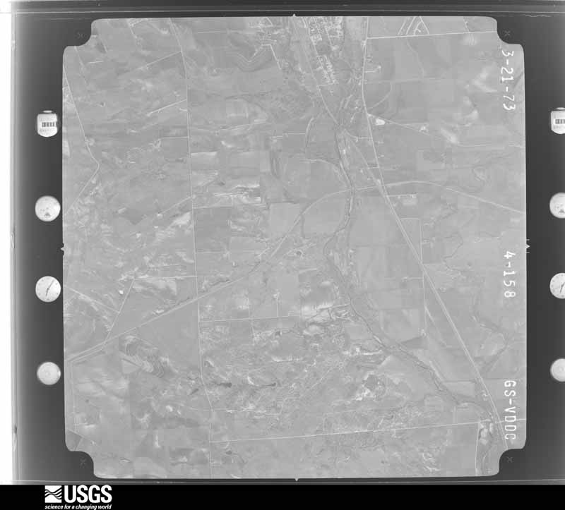
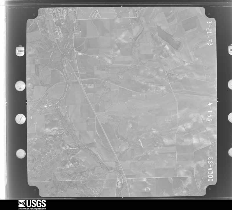
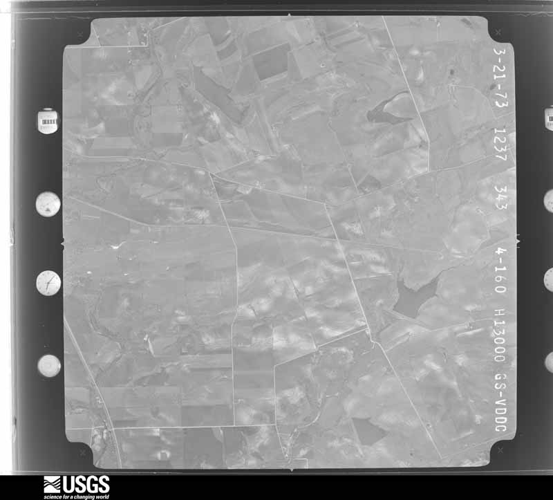
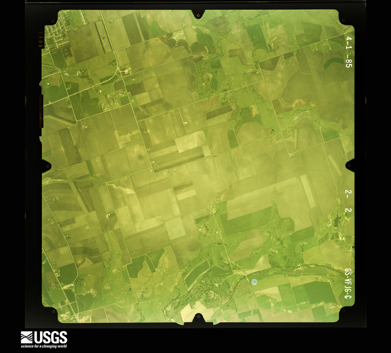
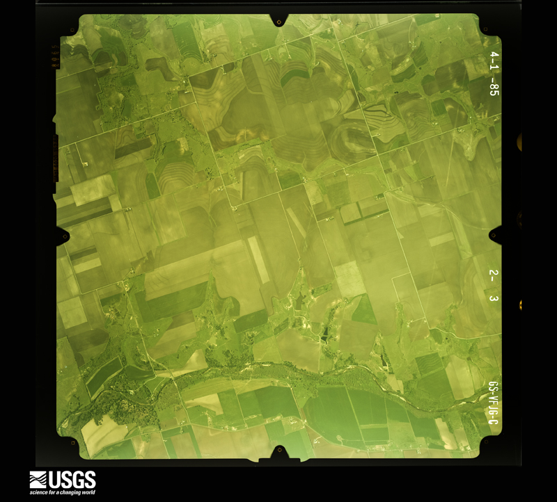
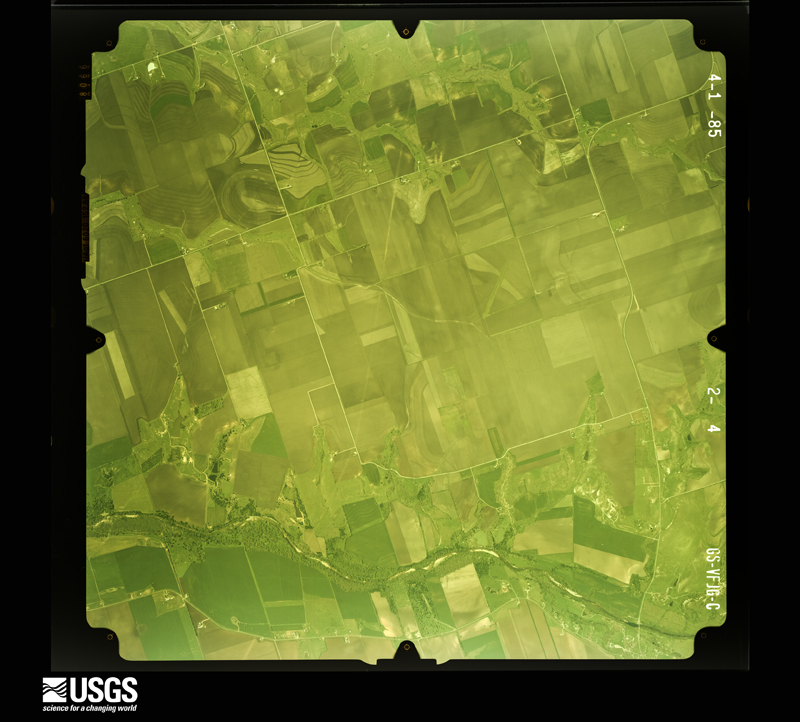
Flown by the U.S. Geological Survey between 1937 and 1989, the Aerial Photo Single Frames collection is the definitive mid-century view of the land: fields, roads and rivers as the camera saw them. The Survey holds 2,317 frames inside the rectangle that bounds this county; the 48 frames below were taken over the county itself, chosen across the decades of flights (at most four a year from that rectangle), so one flight cannot crowd out the rest. The full set is free to browse and download at EarthExplorer under the dataset Aerial Photo Single Frames.

















The thermometers that kept this county's weather, and the gages that measured the flow of its streams, as the federal records hold them. The extremes below are measured values from those records, not estimates.
Who lived here in 1950, one enumeration district at a time, as the Census Bureau described each district. Each row opens its official National Archives result, with Population Schedules and ED Maps available there.
Every wildfire the federal occurrence database records inside this county: 1,250 of them, burning about 10,088 acres. 20 started naturally and 21 were recorded as arson. Each settlement page carries the fires within five miles of it.
| Reported cause | Fires |
|---|---|
| Missing data/not specified/undetermined | 582 |
| Debris and open burning | 361 |
| Equipment and vehicle use | 142 |
| Power generation/transmission/distribution | 62 |
| Arson/incendiarism | 21 |
| Smoking | 21 |
| Natural | 20 |
| Recreation and ceremony | 18 |
| Misuse of fire by a minor | 16 |
| Railroad operations and maintenance | 6 |
| Fireworks | 1 |
The five largest, by the area the report gives. None of them was recorded as arson.
| Date | Cause | Size | Reported by | Name on the report |
|---|---|---|---|---|
| 7 August 2008 | Missing data/not specified/undetermined | 1,452 acres | Texas A & M Forest Service | FLORENCE |
| 29 January 2008 | Missing data/not specified/undetermined | 1,400 acres | Texas A & M Forest Service | not named |
| 27 December 2008 | Missing data/not specified/undetermined | 1,000 acres | Texas A & M Forest Service | not named |
| 3 January 2006 | Missing data/not specified/undetermined | 350 acres | Texas A & M Forest Service | not named |
| 28 January 2004 | Debris and open burning | 290 acres | Texas A & M Forest Service | HILL COUNTRY - 2 |
| 30 August 2000 | Missing data/not specified/undetermined | 220 acres | Texas A & M Forest Service | SOUTH BRANCH - 34 |
| 13 September 2015 | Equipment and vehicle use | 200 acres | Texas A & M Forest Service | MUTUAL AID THRALL ON GRASS FIRE |
| 25 March 2008 | Smoking | 175 acres | Texas A & M Forest Service | LOBO FIRE |
Every settlement page carries the fires within five miles of it - see the settlement index below.
The NOAA Storm Events Database holds 899 reports for this county, causing 35 deaths, 84 injuries and about $460,644,260 in recorded property damage. Each settlement page carries the reports that name it.
| Kind of event | Reports |
|---|---|
| Hail | 452 |
| Thunderstorm Wind | 201 |
| Flash Flood | 154 |
| Tornado | 71 |
| Lightning | 9 |
| Funnel Cloud | 7 |
| Flood | 4 |
| Heavy Rain | 1 |
The most serious of them, by death, then injury, then recorded damage. The accounts are quoted exactly as the forecast office filed them.
| When | Event | Place named | Harm | What the report says |
|---|---|---|---|---|
| May 1997 | Tornado (F5) | Jarrell | 27 killed, 12 hurt, $40,000,000 | no account filed |
| November 2001 | Flash Flood | Countywide | 2 killed, 10 hurt, $500,000 | no account filed |
| May 1989 | Tornado (F3) | not stated | 1 killed, 28 hurt, $2,500,000 | no account filed |
| April 1980 | Tornado (F3) | not stated | 1 killed, 2 hurt, $250,000 | no account filed |
| May 2015 | Flash Flood | Hutto | 1 killed, $7,000,000 | Thunderstorms produced heavy rain that caused flash flooding around the county. Numerous roads were closed including Hairy Man Rd. The Bull Run Creek hike and bike trail was flooded. A 55 year old man died when his vehicle was swept away near CR 143 and Hwy 195 north of Georgetown. 38 homes were destroyed and 57 homes sustained major damage. Losses for infrastructure totaled more than 7 million dollars. |
| September 2010 | Flash Flood | Georgetown Muni Arpt | 1 killed | Heavy rain from Tropical Storm Hermine produced flash flooding which closed I-35 in both directions in Georgetown which caused one death. A man was found dead in a drainage field on September 14th. Police believe on September 8th at around 2am he was forced to stop his car because I-35 was closed with several feet of water over the highway. He pulled off on an exit ramp and discovered it was also flooded. Relatives said that he called them and said he couldnt get home but was going to check the depth of the water. He got out of his vehicle and tried to walk through the flooded water to determine its depth and apparently was sucked down through a drainage culvert. The flooding also caused the evacuation of approximately 100 homes along Brushy Creek near Round Rock. |
| March 2007 | Flash Flood | Liberty Hill | 1 killed | CR258, CR268, CR305 were all closed due to high water, among many others. A husband and wife were driving home in the Georgetown area near 1920 pm CST. Their vehicle stalled in high water in Berry Creek. Rescuers reached the couple and attempted to bring them to safety, both were swept downstream. The woman was successfully rescued but the man drowned. |
| July 1998 | Lightning | Georgetown | 1 killed | Lightning struck a 38-year old man as he was cleaning his pool in Georgetown. He died about one hour later. |
| May 1997 | Tornado (F3) | Cedar Park | 15 hurt, $70,000,000 | no account filed |
| April 1954 | Tornado (F3) | not stated | 6 hurt, $250,000 | no account filed |
| May 1981 | Tornado (F1) | not stated | 4 hurt, $250,000 | no account filed |
| December 1985 | Tornado (F2) | not stated | 2 hurt, $2,500,000 | no account filed |
| February 2017 | Thunderstorm Wind | Thrall | 2 hurt | A thunderstorm produced wind gusts estimated at 115 mph that significantly damaged a metal building system, at least 10 homes, at least a dozen farm buildings, mobile homes, and RVs north of Thrall. A couple suffered minor injuries when their RV was blown over. Most of the damage was caused by 60 to 65 mph wind gusts. |
| December 1985 | Tornado (F1) | not stated | 1 hurt, $250,000 | no account filed |
| October 1991 | Thunderstorm Wind | not stated | 1 hurt | no account filed |
| November 1987 | Thunderstorm Wind | not stated | 1 hurt | no account filed |
| September 2023 | Hail | Round Rock | $300,000,000 | A thunderstorm produced four inch diameter hail in Round Rock. This storm was part of a complex that caused 700 million dollars in hail damage in Texas. The damage in Austin, Georgetown, and Round Rock was the most impactful from this system and totaled upwards of 600 million dollars in damage across Williamson and Travis counties. Thus 300 million dollars of damage is being listed on this Williamson County entry. An article from the Austin American Statesman tells that Round Rock school district estimated losses of 70 million in damages to 62 facilities. |
| July 2025 | Flash Flood | Andice | $25,000,000 | There was extensive flooding along the San Gabriel River across the county. In Georgetown two apartment complexes were evacuated. Flood waters knocked trees and damaged light poles in San Gabriel Park. Flooding at College St. and W. L. Walden Dr. prompted evacuations of the Georgetown Animal Shelter, VFW Post, Masonic Lodge, Holly Street Village, and the San Gabriel Crisis Center. The S. Austin Ave. bridge was closed. Two RV parks downstream flooded and damaged or destroyed 30 or more RVs many of which were described as unsalvageable. The city of Georgetown removed over 3500 cubic feet of debris for along the river. Across the county there were ten water rescues saving 27 people. Most of the rescues were from homes. Twenty-nine roads were closed around the county. At least six roads had damage to pavement. At least 54 structures were damaged or destroyed. The Emergency Manager estimated the cost of damage to public property and infrastructure at $25 million. |
| October 2013 | Flash Flood | Round Rock | $1,100,000 | Across Round Rock and the northern sections of Williamson County, heavy rain fell much of the night with areas reporting up to 10 inches of rain. At the peak of the flooding there were 23 areas closed due to high water. Several homes along Brushy Creek were evacuated. Houses were damaged over the eastern portions along the Highway 79 corridor including Forest Creek, Hutto, and the County Road 123 area. Voluntary evacuations were called for in eastern Round Rock and Hutto. 88 homes were evacuated. Several swift water rescues were performed including 8 vehicle rescues. Overall 19 homes were affected by flooding rains in Williamson County with overall damages hit 1.1 million dollars in uninsured losses to public infrastructure. |
| April 2009 | Tornado (EF1) | Weir | $1,000,000 | A NWS storm survey concluded an EF1 tornado with winds estimated at 85 to 95 mph developed three miles WSW of Jonah, moved northeast and dissipated one mile west of Jonah along Hwy 29. Over 20 homes were damaged, mostly minor roof damage due to falling branches and trees. Several out buildings and small storage sheds were destroyed. Three power poles were snapped. One travel trailer was rolled on its side. |
| September 1995 | Thunderstorm Wind | Hutto | $1,000,000 | Roofs were blown off houses as well as the main building of the High School in Hutto. Classes had to be cancelled for the following day. Several barns were flattened, trees were blown over and power lines were destroyed north of Hutto. A high school football game, already underway, was cancelled as the storm approached, and all persons evacuated into the school. This quick action no doubt prevented numerous injuries. |
| July 2017 | Lightning | White Stone | $600,000 | Lightning struck a house on Goodnight Tr. causing a fire in Leander. |
| October 2022 | Tornado (EF1) | Jarrell Sybert Arpt | $500,000 | A National Weather Service storm survey team determined a tornado touched down just west of CR 234 and north of CR 239. The tornado moved southeastward producing EF-0 damage to trees and a barn and knocked down a two-story home that was still under construction near CR 310 and CR 237. As the tornado crossed this intersection it turned east and strengthened and widened. High end EF-0 damage was observed to trees and some homes just to the west of I-35. The tornado crossed I-35 south of CR 314 and north of Ronald Reagan Blvd. and strengthened further. A semi-trailer was flipped on I-35 and the driver sustained minor injuries. Nine wooden power poles were brought down on the north bound side of I-35, including one that was snapped in half. As the tornado continued east of I-35 and west of Little Road EF-1 damage was observed. Additional power poles were damaged and snapped. A home sustained roof damage and many large tree branches were snapped. A barn had a portion of the roof removed. A small, enclosed cargo trailer on the property was lofted roughly 100 yards downwind. Maximum winds were estimated at 100 mph just east of I-35. The tornado dissipated east of Little Road. |
| June 2007 | Flash Flood | Florence | $500,000 | Two lines of thunderstorms, one moving south from the Dallas area and one moving southeast from the Abilene area, intersected and stalled near Marble Falls, producing a 6-8 inch rainfall over western Williamson County, with up to 14 inches between Florence and Liberty. Most roads in the west and south portion of the county were closed through the mid morning, including highly traveled thoroughfares such as US183 and SH29. |
| June 1997 | Flash Flood | Countywide | $500,000 | no account filed |
| May 2001 | Thunderstorm Wind | Liberty Hill | $300,000 | no account filed |
| March 2000 | Tornado (F2) | Leander | $300,000 | no account filed |
| July 2017 | Lightning | White Stone | $270,000 | Lightning struck a house on Lookout Knoll Dr. causing a fire in Leander. |
| August 2009 | Thunderstorm Wind | Taylor | $250,000 | A thunderstorm produced wind gusts, estimated at 80 mph, that tore the metal roof off a building at Jones and Maresh Streets. Numerous trees were blown down across the town of Taylor. Several businesses sustained roof damage. A private citizen measured 80 mph wind gusts during the storm with an unofficial weather station. The widespread damage to the town, including a brick building downtown, verifies the strong wind report. |
| May 2002 | Thunderstorm Wind | Andice | $250,000 | The Williamson County Sheriff's Department reported trees knocked down and roofs blown off homes in the Andice area. In addition, a trailer home was blown off its foundation. Wind gusts in the downburst were estimated at between 55 and 65 knots. |
| June 1983 | Tornado (F1) | not stated | $250,000 | no account filed |
| February 1981 | Tornado (F2) | not stated | $250,000 | no account filed |
| August 1980 | Tornado (F0) | not stated | $250,000 | no account filed |
| April 1977 | Tornado (F2) | not stated | $250,000 | no account filed |
| April 1957 | Tornado (F3) | not stated | $250,000 | no account filed |
| July 2017 | Lightning | Leander | $225,000 | Lightning struck a house on Monahans Dr. causing a fire in Leander. |
| September 2018 | Flash Flood | Liberty Hill | $200,000 | More than sixty people had to be rescued from the Casa Rio Del Colores wedding venue as a large wedding party got trapped from quickly rising waters along the South Fork of the San Gabriel River just south of Liberty Hill. Multiple cars were flooded and inundated. |
| May 2008 | Thunderstorm Wind | Norman Crossing | $200,000 | Strong winds associated with a parent supercell produced widespread damage mainly in the Lookout at Brushy Creek subdivision and a few other surrounding streets. Numerous fences, playscape equipment, and trampolines were either damaged or destroyed. Minor roof damage was seen on several homes with mainly shingles missing. A few windows and doors were blown in. Large trees were uprooted and branches were broken off. Straightline winds were estimated at 70 to 80 mph. |
| May 2001 | Hail | Round Rock | $200,000 | no account filed |
| June 2007 | Flash Flood | Andice | $150,000 | Scattered to numerous thunderstorms over northern Travis and southern Williamson Counties produced 2 to 4 inches of rain. Highest totals in Williamson County were 8 inches in Cedar Park. Ten evacuations were required along Smith Branch Creek and Brushy Creek due to the high water and several county shelters were opened. Most rural roads in southern Williamson County were closed, including FM260, FM1431, and SH29 where it intersects with SH95. At least 8 high water rescues were made in the Liberty Hill area. |
| June 2002 | Thunderstorm Wind | Georgetown | $150,000 | Trees were blown down by severe thunderstorm winds. Also, an 18-wheeler was blown over by the winds. |
| April 2022 | Tornado (EF1) | Florence | $100,000 | The Florence tornado formed just east of SH195 and the first observed damage to trees and some homes were seen along Ramms Drive. At this area significant tree damage was observed with several large mature oak trees uprooted. The damage in this area was rated EF1. The tornado continued east and crossed CR228 where more tree damage was seen. The tornado turned toward the east-northeast and likely remained on the ground east of CR228 (Doppler radar indicated a tornado debris signature). After approximately 1.3 miles the storm turned back to the east before it neared the Williamson/Bell County line about 0.15 miles west-northwest of CR231 in far northern Williamson County. A mobile home was shifted off its foundation at this location on the county line and multiple large oak trees were snapped and uprooted. This damage was also rated EF1. While in Williamson County this tornado had a maximum width of 500 yards and maximum winds of near 100 mph with a path length of 3.54 miles. |
| July 2017 | Tornado (EF0) | Georgetown | $100,000 | NWS survey along with eyewitnesses conclude that a weak EF0 tornado developed and produced minor damage to 6-8 homes off Teravista Club Drive as well as Caldwell Palm Circle. A few small sections of roof were peeled off a couple of residences as well as a trampoline tossed from a backyard onto the street. It appears that the tornado may have formed along a gust front boundary. Roof damage was limited to a few houses. |
| July 2017 | Lightning | White Stone | $100,000 | Lightning struck a house on Paden Dr. causing a fire in Cedar Park. |
| May 2011 | Tornado (EF0) | Andice | $100,000 | The National Weather Service conducted a damage survey near the Andice area in western Williamson County. Talking to several local residents have brought the conclusion that the initial spin up of the weak tornado occurred around 9pm and|lasted probably 5 minutes as it tracked to the North Northeast. Residents to the southeast of Andice reported seeing a lot of circulation under the storm with several different funnels. Damage was first seen just to the south of ranch road 2338 about 1.5 miles SSE of Andice. Minor damage to several mobile homes occurred at this area including a carport and deck which were destroyed. The tornado crossed Ranch Road 2338 and went NNE and crossed county roads 250 and 251. Several areas of tree damage were noted. Two residences along County Road 251 experienced damage including a screened in porch that was tossed over the house. Large hay bales were also found in the road...being rolled many yards from their original location. There were no deaths or injuries. Maximum winds are estimated to have been 80 MPH. |
| May 2006 | Thunderstorm Wind | Florence | $100,000 | Winds from a severe thunderstorm tore the roofs off several homes in the Florence area. |
| May 2006 | Thunderstorm Wind | Andice | $100,000 | Severe thunderstorm winds damaged roofs and blew down small out-buildings near Andice. |
| October 2004 | Flash Flood | Liberty Hill | $100,000 | Slow-moving showers and thunderstorms dropped between 2 and 3 inches of rain in southwest Williamson County in the late evening period. Maximum totals were 5 to 6 inches between Leander and Cedar Park, closing most low water crossings due to flash flooding. Several high water rescues were made between the two cities. Newspapers reported several cars cut off and stranded by water up to 6 feet deep and rising on FM2243 just northeast of Leander. |
| August 2003 | Thunderstorm Wind | Coupland | $100,000 | Severe thunderstorms produced winds that damaged windows and roofs in and around the Coupland area. The winds also blew over a trailer. |
| June 2002 | Thunderstorm Wind | Taylor | $100,000 | Roofs were damaged, with some blown off homes, by severe thunderstorm winds. A mobile home was also damaged by the severe winds. Over 9000 homes were without power in Cedar Park for several hours due to the storm. |
| June 2002 | Thunderstorm Wind | Taylor | $100,000 | Widespread wind damage was reported to trees, outbuildings and to roofs of homes. |
| March 2001 | Thunderstorm Wind | Taylor | $100,000 | Severe thunderstorm winds caused damage to roofs and sheds in the area around Taylor during the early morning hours. |
| October 2001 | Thunderstorm Wind | Round Rock | $100,000 | Damage was reported to roofs of homes in Round Rock from severe thunderstorm winds. |
| February 1998 | Thunderstorm Wind | Countywide | $100,000 | Severe winds caused spotty damage across much of the county. A barn was severely damaged just south of Jarrell, with trees and power lines reported blown over in Taylor. |
| October 2002 | Thunderstorm Wind | Cedar Park | $80,000 | A very brief but intense microburst stuck Cedar Park early on the morning of October 19. The winds, estimated at between 80 and 90 mph blew down trees and power poles over a two-block area of the city. |
| May 2000 | Hail | Taylor | $80,000 | An NWS cooperative observer reported damage to roofs as well as crop damage due to large hail driven by 40 mph winds. |
| March 1999 | Thunderstorm Wind | Georgetown | $80,000 | Severe thunderstorm winds took roofs off houses and knocked over power lines in the Georgetown area |
| October 2022 | Thunderstorm Wind | Corn Hill | $50,000 | An NWS storm survey team surveyed wind damage farther north of a tornado track, near CR 313. Numerous homes and businesses sustained minor roof damage east of I-35, both north and south of CR-313. Many fences were also blown down. A fire station had its doors blown out. A business along the west side of I-35 also had garage doors blown out and another had a trailer that was rolled onto the I-35 service road. All damage was in a roughly west to east orientation. The survey team could not find evidence of a tornado and concluded the damage was most likely caused by a large swath of 60-80 mph straight-line winds. |
| March 2018 | Thunderstorm Wind | Leander | $50,000 | A thunderstorm produced wind gusts estimated at 70 mph that damaged several homes in the Rancho Sienna neighborhood on the west side of Georgetown. A chimney was torn off the roof of a house, a large tree was knocked over, and several fences were blown down. |
| May 2018 | Tornado (EF1) | Leander | $50,000 | A National Weather Service storm survey found a weak tornado touched down near Hero Way on the north side of Leander. The team found roof and tree damage just north of this road at several residences. The tornado then tracked north and went parallel to Ronald Reagan Blvd. where they observed tree damage on the west side of the road. The tornado then crossed Highway 29, weakened considerably, and finally dissipated near the entrance of the Santa Rita Ranch subdivision. The final rating of the tornado is EF1 based on the roof and tree damage seen around Hero Way. The |remainder of the tornado track had weak EF0 damage. The estimated peak wind speed was 90 mph. |
The Survey's mineral resources record lists 11 workings inside this county. 9 still produce and 2 are closed or unrecorded. Each settlement page carries the workings within five miles of it.
| Commodity | Workings |
|---|---|
| Limestone, General | 4 |
| Stone, Crushed/Broken | 3 |
| Limestone, General, Stone, Crushed/Broken | 2 |
| Stone | 1 |
| Calcium | 1 |
The least common of them first, because a county's hundredth gravel pit says nothing its first ten did not.
| Where | Site | Commodity | Status | Recorded |
|---|---|---|---|---|
| Dedear Quarry | Calcium | Producer | ||
| Johnson Quarry | Stone | Producer | Sedimentary | |
| Dedear Quarry | Limestone, General, Stone, Crushed/Broken | Producer | Limestone | |
| Unnamed Quarry | Limestone, General, Stone, Crushed/Broken | Past Producer | Limestone | |
| Featherlite Corp | Stone, Crushed/Broken | Producer | ||
| Texas Calcium Corp Abandoned Pit | Stone, Crushed/Broken | Past Producer | ||
| Texas Ind Limestone Quarry | Stone, Crushed/Broken | Producer | ||
| Allen Pit & Plant | Limestone, General | Producer | ||
| Armadillo Quarry | Limestone, General | Producer | ||
| Georgetown Quarry & Plant | Limestone, General | Producer | ||
| Weir Pit & Plant | Limestone, General | Producer |
Named settlements recorded in the Geographic Names Information System, each with the topographic sheets covering it. Villages, hamlets and abandoned places alike. Each is shown with the nearest named watercourse or landform and the survey quadrangle it falls on.
Round Rock-Georgetown census division · 78750 · Jollyville quadrangle
23 sheets, 1896 to 1987
Taylor census division · 76578 · On Houghton Branch · Beaukiss quadrangle
15 sheets, 1885 to 1985
Taylor census division · 78615 · On Battleground Creek · Thrall quadrangle
14 sheets, 1885 to 1985
Round Rock-Georgetown census division · 78681 · On South Brushy Creek · Round Rock quadrangle
19 sheets, 1893 to 1987
Cedar Park-Liberty Hill census division · 78613 · On Cluck Creek · Leander quadrangle
17 sheets, 1893 to 1987
Taylor census division · 76574 · On Pecan Branch · Granger quadrangle
15 sheets, 1885 to 1985
Taylor census division · 76574 · On Willis Creek · Granger Lake quadrangle
14 sheets, 1885 to 1985
Granger census division · 76530 · On Sore Finger Creek · Granger Lake quadrangle
14 sheets, 1885 to 1985
Round Rock-Georgetown census division · 78626 · On North Fork San Gabriel River · Georgetown quadrangle
20 sheets, 1893 to 1985
Granger census division · 76530 · On Opossum Creek · Granger quadrangle
15 sheets, 1885 to 1985
Round Rock-Georgetown census division · 78628 · Near Hunt Hollow · Leander NE quadrangle
15 sheets, 1893 to 1985
Cedar Park-Liberty Hill census division · 78642 · On Jinks Branch · Liberty Hill quadrangle
13 sheets, 1893 to 1985
Round Rock-Georgetown census division · 78729 · Jollyville quadrangle
23 sheets, 1896 to 1987
Cedar Park-Liberty Hill census division · 78641 · On South Fork Brushy Creek · Leander quadrangle
17 sheets, 1893 to 1987
Cedar Park-Liberty Hill census division · 78642 · On Little Creek · Liberty Hill quadrangle
13 sheets, 1893 to 1985
Taylor census division · 78634 · On Cottonwood Creek · Coupland quadrangle
17 sheets, 1885 to 1985
Taylor census division · 76574 · On Cottonwood Creek · Coupland quadrangle
17 sheets, 1885 to 1985
Round Rock-Georgetown census division · 78626 · On South Fork San Gabriel River · Georgetown quadrangle
20 sheets, 1893 to 1985
Round Rock-Georgetown census division · 78664 · On Onion Branch · Round Rock quadrangle
19 sheets, 1893 to 1987
No longer a settlement
Round Rock-Georgetown census division · 78729 · Jollyville quadrangle
23 sheets, 1896 to 1987
Taylor census division · 76574 · On Avery Branch · Coupland quadrangle
17 sheets, 1885 to 1985
Round Rock-Georgetown census division · 78664 · On Onion Branch · Round Rock quadrangle
19 sheets, 1893 to 1987
Round Rock-Georgetown census division · 78628 · Near Cedar Hollow · Leander NE quadrangle
15 sheets, 1893 to 1985
Round Rock-Georgetown census division · 78642 · Leander NE quadrangle
15 sheets, 1893 to 1985
Granger census division · On North Fork Donahoe Creek · Jarrell quadrangle
12 sheets, 1893 to 1985
Round Rock-Georgetown census division · 78628 · Georgetown quadrangle
20 sheets, 1893 to 1985
Round Rock-Georgetown census division · 78628 · Georgetown quadrangle
20 sheets, 1893 to 1985
Round Rock-Georgetown census division · 78642 · Liberty Hill quadrangle
13 sheets, 1893 to 1985
Round Rock-Georgetown census division · 78633 · On Cowan Creek · Georgetown quadrangle
20 sheets, 1893 to 1985
Round Rock-Georgetown census division · 78717 · On Davis Spring Branch · Pflugerville West quadrangle
17 sheets, 1896 to 1987
Cedar Park-Liberty Hill census division · 78613 · Leander quadrangle
17 sheets, 1893 to 1987
Taylor census division · 76574 · By Comanche Bluff · Granger quadrangle
15 sheets, 1885 to 1985
Cedar Park-Liberty Hill census division · 78613 · Leander quadrangle
17 sheets, 1893 to 1987
The vanished settlements of Williamson County: the places named above that are no longer on the map.