 Block
BlockAransas Pass, Texas
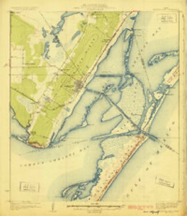
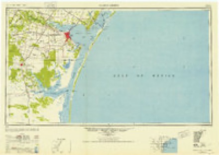
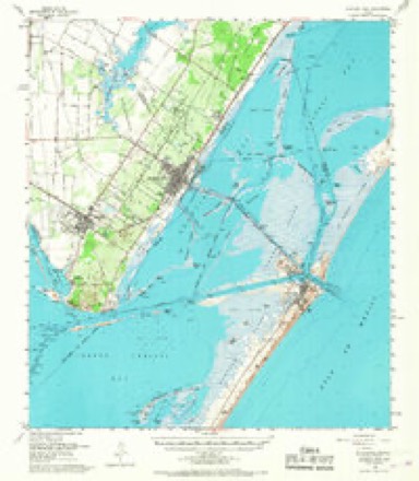
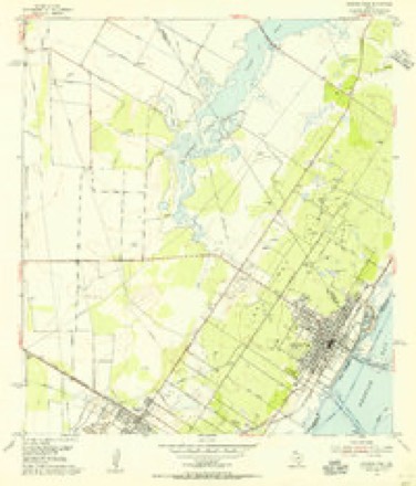
14 topographic sheets cover this place, the earliest surveyed in 1925 and the latest in 1989. It stands in the Aransas Pass-Ingleside census division. It lies in ZIP code area 78336. It lies near Live Oak Ridge. The Survey maps it on the Aransas Pass quadrangle. 7,941 people lived here at the 2020 count. It stands 16 feet above sea level.
Population over time
2 figuresAransas Pass fell from 8,204 to 7,941 between 2010 and 2020. These are the recorded population figures Wikidata holds for this place, reached through the Geographic Names Information System number this page is keyed on rather than by name, so they belong to this place and not to another of the same name. Most are census counts, but not all are: an early figure may be a founding or settlement estimate, and an estimate published within five years of a census is left out. The change column is computed, and is left blank where more than 20 years separate a figure from the one before it, because a gap that long is not a change between two counts.
| Year | People | Change |
|---|---|---|
| 2010 | 8,204 | |
| 2020 | 7,941 | -263 (-3%) |
Topographic sheets covering this place
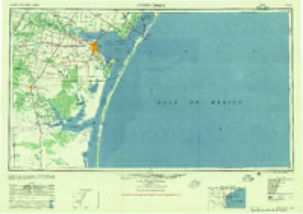
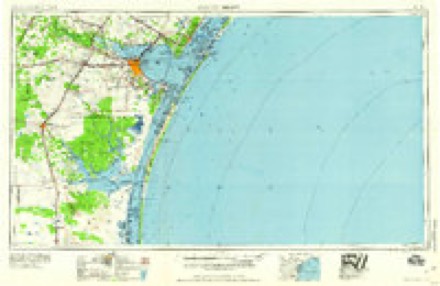
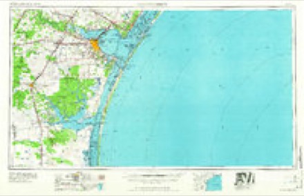
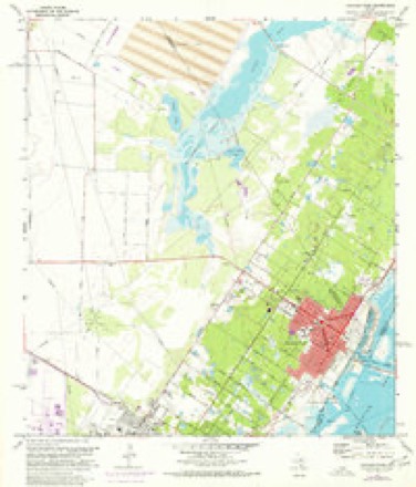
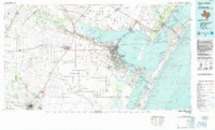
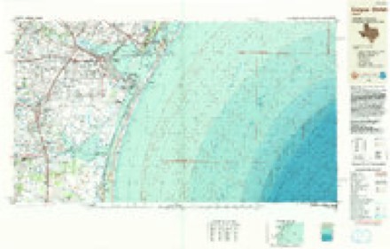
10 surveys from 14 printed sheetsMatched by testing this settlement's coordinate against the published boundary of every sheet in the United States Geological Survey's historical collection. Each opens the scanned sheet at the Survey.
- 1925 USGS Aransas Pass quadrangle1:62500, 3 printings
- 1950 USGS Corpus Christi quadrangle1:250000
- 1954 USGS Aransas Pass quadrangle1:62500, 2 printings
- 1954 USGS Aransas Pass quadrangle1:24000, 2 printings
- 1956 USGS Corpus Christi quadrangle1:250000
- 1960 USGS Corpus Christi quadrangle1:250000
- 1966 USGS Corpus Christi quadrangle1:250000
- 1971 USGS Aransas Pass quadrangle1:24000
- 1984 USGS Corpus Christi quadrangle1:100000
- 1989 USGS Corpus Christi quadrangle1:250000
Fires near this place
103 since 2005Regional context, not property-specific evidence. The federal wildfire occurrence database lists 103 fires within 5 miles of Aransas Pass between 2005 and 2020, burning about 932 acres in total. None started naturally. 1 was recorded as arson. Distance is straight-line from the map coordinates, so a fire counted here may appear on a neighbouring settlement's page as well.
| Reported cause | Fires |
|---|---|
| Missing data/not specified/undetermined | 65 |
| Debris and open burning | 26 |
| Power generation/transmission/distribution | 3 |
| Equipment and vehicle use | 2 |
| Recreation and ceremony | 2 |
| Smoking | 2 |
| Arson/incendiarism | 1 |
| Fireworks | 1 |
| Other causes | 1 |
The most recent of them, most recent first, with the day each was reported and the service that recorded it.
| Date | Cause | Size | Reported by | Name on the report |
|---|---|---|---|---|
| 9 September 2011 | Missing data/not specified/undetermined | under an acre | Texas A & M Forest Service | 1700SIXTH |
| 9 September 2011 | Missing data/not specified/undetermined | under an acre | Texas A & M Forest Service | SUSSER |
| 7 September 2011 | Missing data/not specified/undetermined | 50 acres | Texas A & M Forest Service | SIXTH STREET |
| 7 September 2011 | Missing data/not specified/undetermined | under an acre | Texas A & M Forest Service | GRASS FIRE/RABBIT RUN |
| 6 September 2011 | Missing data/not specified/undetermined | under an acre | Texas A & M Forest Service | THOMAS |
| 6 September 2011 | Missing data/not specified/undetermined | 1.0 acres | Texas A & M Forest Service | BURNETT |
| 6 September 2011 | Equipment and vehicle use | under an acre | Texas A & M Forest Service | BILLBOARD |
| 24 September 2011 | Missing data/not specified/undetermined | 3.0 acres | Texas A & M Forest Service | HOT BOX 2 |
Settlements close enough to share some of these fires:
Storms near this place
29 since 1996Regional context, not property-specific evidence. The National Weather Service names Aransas Pass in 29 storm reports between 1996 and 2025: 11 flash flood, 8 hail, 5 thunderstorm wind, 2 flood. No death or injury is recorded in these reports. Each account below is quoted exactly as the forecast office filed it, from the NOAA Storm Events Database, and each date opens the federal record of that event.
| When | Event | Place named | Harm | What the report says |
|---|---|---|---|---|
| January 2011 | Hail | Aransas Pass | $1,000,000 | Ping pong ball sized hail occurred in Aransas Pass. Numerous RVs sustained minor to major damage from the hail located at several RV resorts around Aransas Pass. |
| May 2016 | Flash Flood | Aransas Pass | $500,000 | Many roads were flooded and caused damage to some of the roadways in Aransas Pass. There were around 25 water rescues performed due to stranded motorists or water reaching into homes. Parts of Farm to Market Road 1069 were under flood waters. Hundreds of homes were affected by flood waters. |
| September 2007 | Tornado (EF1) | Aransas Pass | $250,000 | The waterspout moved onshore as a tornado near the corner of Amberjack Street and Pompano Drive. The tornado continued on an east-southeast path to the northern loop of Oak Park Drive in Aransas Pass. This tornado was rated as an EF-1 on the Enhanced Fujita Scale. EF-0 damage was found along most of the track, however EF-1 damage was found near Arch Street and Spencer Street where the greatest damage occurred with winds of around 100 mph. The width of the tornado was roughly 25-50 yards wide through most of its lifespan, but was briefly 100 yards wide at its greatest width.||Damage included several uprooted trees, large tree limps snapped, removal of a portion of terracotta roofing from a house, minor roof damage to several homes and a severely damaged brick facade at the Dollar General Store. In addition, the roof and steel awning at the Fresenius Medical Care Center was damaged. Several street signs were also knocked down and damage occurred to several vehicles.||No fatalaties were reported, however one injury was reported from flying glass at a tire store.| |
| April 2012 | Flash Flood | Aransas Pass | $100,000 | County roads and fields flooded from more than 15 inches of total rainfall. |
| May 2017 | Lightning | Aransas Pass | $50,000 | Lightning struck Aransas Pass water supply infrastructure. This led to water pumps failing and cutting off the water supply to Aransas Pass. |
| June 2018 | Flood | Aransas Pass | $25,000 | Flooding of roads occurred in Aransas Pass with some of the roads impassable. One business and one home were infiltrated by water. |
| June 2010 | Thunderstorm Wind | Aransas Pass | $25,000 | A NWS storm survey team concluded winds of up to 75 mph produced damage consistent with straight-line winds in Aransas Pass. A church had a portion of the roof peeled off. A trailer was also flipped over. Numerous large trees were snapped throughout the city. |
| May 2023 | Flash Flood | Aransas Pass | $10,000 | Law enforcement reported vehicles street flooding with vehicles stranded in Aransas Pass on West Nelson Avenue and Farm to Market Road 1069. |
| March 2000 | Thunderstorm Wind | Aransas Pass | $5,000 | NWS storm survey team confirmed that mobile homes were damaged by a thunderstorm downburst. The storm survey was prompted by a report of a possible tornado. |
| April 2025 | Hail | Aransas Pass | - | Location and Size (0.88) Estimated; NWS Employee reported nickel sized hail in Aransas Pass. |
| April 2025 | Hail | Aransas Pass | - | Measured 1.00 ; Report found on social media. Time of report was estimated based on radar. |
| November 2025 | Hail | Aransas Pass | - | Hail report from mping. |
| September 2025 | Heavy Rain | Aransas Pass | - | Weather station measured 2.58 inches. |
| September 2024 | Flash Flood | Aransas Pass | - | Social media posts show several streets flooded in the Aransas Pass area during the morning of the 4th after nearby report rainfall totals around 8. |
| May 2021 | Flood | Aransas Pass | - | Street flooding occurred on South Saunders street in Aransas Pass. |
| August 2016 | Flash Flood | Aransas Pass | - | Water was over several roads in Aransas Pass due to nearly 8 inches of rain in four hours. |
| March 2016 | Thunderstorm Wind | Aransas Pass | - | Weatherflow mesonet site at Aransas Pass measured a gust to 60 mph. |
| September 2015 | Flash Flood | Aransas Pass | - | KRIS-TV received a social media report of flooding in Aransas Pass. |
| May 2015 | Flash Flood | Aransas Pass | - | Numerous roads were flooded in Aransas Pass. |
| May 2012 | Hail | Aransas Pass | - | Public reported dime sized hail along Highway 361 on the causeway 2 to 3 miles to the east-southeast of Aransas Pass. |
| September 2003 | Flash Flood | Aransas Pass | - | Heavy rainfall produced widespread street flooding in Aransas Pass. |
| February 2004 | Hail | Aransas Pass | - | no account filed |
| March 2003 | Hail | Aransas Pass | - | no account filed |
| March 2003 | Thunderstorm Wind | Aransas Pass | - | no account filed |
| October 1998 | Flash Flood | Aransas Pass | - | no account filed |
| April 1997 | Flash Flood | Aransas Pass | - | no account filed |
| April 1997 | Flash Flood | Aransas Pass | - | no account filed |
| April 1996 | Hail | Aransas Pass | - | no account filed |
| November 1996 | Thunderstorm Wind | Aransas Pass | - | no account filed |
Nearest settlements
The eight closest, with where each one stands in the county. Distances are straight-line, computed from the Geographic Names Information System coordinates.
| Map | Place | Distance | Sheets |
|---|---|---|---|
| Whispering Oaks Estates Colonia | 1.5 miles | 14 | |
| Country Acres | 1.5 miles | 14 | |
| Sherwood Forest Colonia | 1.6 miles | 14 | |
| The Falman Colonia | 1.8 miles | 14 | |
| Country Estates Colonia | 1.8 miles | 14 | |
| Falman | 1.8 miles | 14 | |
| Millsville | 1.9 miles | 14 | |
| Mooney Lane Colonia | 2.2 miles | 14 |
Elsewhere
Matched on this settlement's Geographic Names Information System number rather than its name, so it cannot be a different place of the same name in another state.
| Wikipedia article on Aransas Pass | An encyclopaedic summary. Its text is share-alike, so it is linked here rather than copied. |
| Wikidata item Q626054 | The structured record the population and elevation above come from. Public domain (CC0). |
Provenance
This settlement is recorded in the Geographic Names Information System as feature 1329652. The sheet list is computed by point-in-boundary test against the United States Geological Survey's historical topographic inventory. Both are works of the United States government and carry no copyright under 17 U.S.C. 105.
Wildfire. Short, Karen C. 2022. Spatial wildfire occurrence data for the United States, 1992-2020 [FPA_FOD_20221014]. 6th Edition. Fort Collins, CO: Forest Service Research Data Archive. https://doi.org/10.2737/RDS-2013-0009.6 Collected with United States Government funding and usable without additional permissions or fees.
Storms. NOAA National Centers for Environmental Information, Storm Events Database https://www.ncei.noaa.gov/stormevents/ A work of the United States government, no copyright under 17 U.S.C. 105. Narratives are quoted verbatim from the National Weather Service report and are not edited or summarised.