 Block
BlockBaldridge, Texas
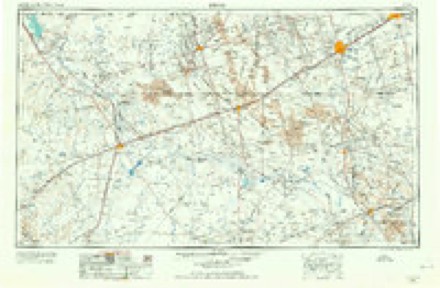
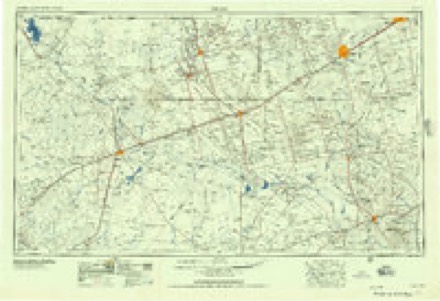
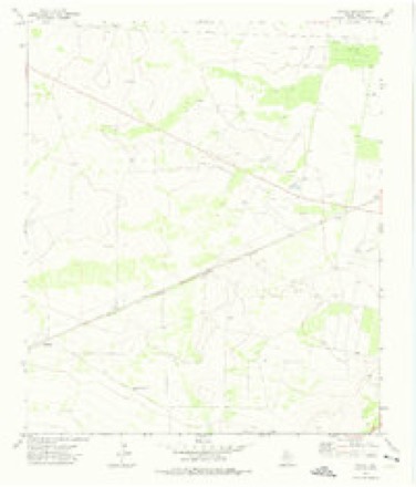
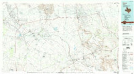
8 topographic sheets cover this place, the earliest surveyed in 1954 and the latest in 1986. It stands in the Fort Stockton census division. The Survey maps it on the Owego quadrangle. It stands 2,526 feet above sea level.
Topographic sheets covering this place
4 surveys from 8 printed sheetsMatched by testing this settlement's coordinate against the published boundary of every sheet in the United States Geological Survey's historical collection. Each opens the scanned sheet at the Survey.
- 1954 USGS Pecos quadrangle1:250000, 3 printings
- 1957 USGS Pecos quadrangle1:250000
- 1972 USGS Owego quadrangle1:24000
- 1986 USGS Crane quadrangle1:100000, 3 printings
Mines and quarries near this place
2 within 5 milesRegional context, not property-specific evidence. The federal mineral resources record lists 2 workings within 5 miles of Baldridge: 1 past producer, 1 producer. 1 still produces. What was taken out: Sulfur. Distance is straight-line from the map coordinates, so a quarry counted here may appear on a neighbouring settlement's page as well.
| Where | Site | Commodity | Status | Recorded |
|---|---|---|---|---|
| Comanche Creek Mine | Sulfur | Past Producer | 1967, 1983 | |
| Comanche Creek Mine | Sulfur | Producer | 1975 |
Storms near this place
21 since 2008Regional context, not property-specific evidence. The National Weather Service names Baldridge in 21 storm reports between 2008 and 2025: 14 hail, 3 flash flood, 3 tornado, 1 thunderstorm wind. No death or injury is recorded in these reports. Each account below is quoted exactly as the forecast office filed it, from the NOAA Storm Events Database, and each date opens the federal record of that event.
| When | Event | Place named | Harm | What the report says |
|---|---|---|---|---|
| June 2025 | Flash Flood | Baldridge | $55,000 | Pecos County Emergency Manager reported that 3 high water rescues were taking place 4 miles south of I-10 along RM 2023. Up to 4 ft of water was reported to be across the road. The total time interval during which the flood occurred is estimated from radar and estimated runoff time. The cost of damages is also estimated. |
| June 2023 | Thunderstorm Wind | Baldridge | $25,000 | Emergency management reported downed power poles about 5 miles south of I-10 along FM 2023. NWS Storm Survey found that this damage was caused by straight-line winds associated with the parent supercell thunderstorm and not a tornado. Wind speeds were estimated to be 118 mph. Property cost damage is an estimation. |
| May 2008 | Hail | Baldridge | $10,000 | Softball sized hail was reported along I-10 near mile marker 278. |
| May 2008 | Hail | Baldridge | $5,000 | Golfball sized hail was reported at mile marker 273 on I-10. |
| April 2025 | Hail | Baldridge | - | A report of penny size hail was received from mPING. Time is estimated from radar. |
| April 2025 | Hail | Baldridge | - | A storm chaser reported ping pong ball size hail. Time is estimated from radar. |
| April 2025 | Hail | Baldridge | - | A report was received from mPING of ping pong ball size hail. Time is estimated from radar. |
| April 2025 | Flash Flood | Baldridge | - | A report from mPING of street/road flooding or closures near I-20 was received. Time is estimated from radar. |
| April 2025 | Hail | Baldridge | - | Quarter size reported by the emergency manager. Time was estimated from radar. |
| April 2025 | Hail | Baldridge | - | The emergency manager reported golf ball-sized hail. The time was estimated from radar. |
| June 2023 | Tornado (EF1) | Baldridge | - | A tornado began near the I-10 and Hwy 67 junction east of Fort Stockton in Pecos County. Damage indicators show that the tornado began as an EF-0 before growing in width and strengthening to an EF-1 about 5 minutes after it began. The tornado continued in a southeast direction as an EF-1 before dropping to an EF-0 just before lifting around 20 minutes after it began. |
| May 2019 | Tornado (EF0) | Baldridge | - | A thunderstorm produced a tornado between Fort Stockton and Bakersfield in Pecos County. The thunderstorm tracked eastward along the Interstate 10 corridor. Trained spotters and emergency management witnessed the development of a tornado approximately two miles south of mile marker 279. The tornado traveled approximately two miles east northeast before spotters lost visual of the tornado as it became rain-wrapped. No damage was reported from this tornado and the path width is unknown. The estimated peak wind was 80 mph. |
| May 2008 | Hail | Baldridge | - | Nickel sized hail was reported along I-10 near mile marker 273. |
| May 2008 | Flash Flood | Baldridge | - | Pecos County Sheriff's Office reported two feet of water flowing over I-10 near mile marker 273. Local media reported several sections of U.S. Highway 385/67 north of I-10 to have over one foot of water covering the road. |
| May 2008 | Tornado (EF0) | Baldridge | - | A brief tornado was reported near mile marker 278 on I-10. No damage was reported. |
| June 2023 | Hail | Baldridge | - | no account filed |
| May 2019 | Hail | Baldridge | - | no account filed |
| May 2019 | Hail | Baldridge | - | no account filed |
| June 2019 | Hail | Baldridge | - | no account filed |
| May 2019 | Hail | Baldridge | - | no account filed |
| May 2019 | Hail | Baldridge | - | no account filed |
Nearest settlements
The eight closest, with where each one stands in the county. Distances are straight-line, computed from the Geographic Names Information System coordinates.
| Map | Place | Distance | Sheets |
|---|---|---|---|
| Girvin | 12.5 miles | 9 | |
| Buena Vista | 12.7 miles | 8 | |
| Guild | 14.4 miles | 11 | |
| Abell City | 15.5 miles | 8 | |
| Bodieville Colonia | 15.6 miles | 11 | |
| Little Mexico Colonia | 15.6 miles | 11 | |
| Horsehead Crossing | 16.0 miles | 9 | |
| Fort Stockton | 16.5 miles | 11 |
Elsewhere
Matched on this settlement's Geographic Names Information System number rather than its name, so it cannot be a different place of the same name in another state.
| Wikipedia article on Baldridge | An encyclopaedic summary. Its text is share-alike, so it is linked here rather than copied. |
| Wikidata item Q135474406 | The structured record the population and elevation above come from. Public domain (CC0). |
Provenance
This settlement is recorded in the Geographic Names Information System as feature 1379386. The sheet list is computed by point-in-boundary test against the United States Geological Survey's historical topographic inventory. Both are works of the United States government and carry no copyright under 17 U.S.C. 105.
Mines and quarries. USGS Mineral Resources Data System (MRDS) https://mrdata.usgs.gov/mrds/ A work of the United States government, no copyright under 17 U.S.C. 105.
Storms. NOAA National Centers for Environmental Information, Storm Events Database https://www.ncei.noaa.gov/stormevents/ A work of the United States government, no copyright under 17 U.S.C. 105. Narratives are quoted verbatim from the National Weather Service report and are not edited or summarised.