 Block
BlockFrom the record
2 National Register listings published here.
Sources: the National Register database, National Park Service
51 topographic sheets cover 21 settlements here, and 2 properties are on the National Register of Historic Places.
2 National Register listings published here.
Sources: the National Register database, National Park Service
Every property in this county listed on the National Register of Historic Places, with the year it was listed and the federal nomination document.
| Photograph | Property | Type | Listed | Reference |
|---|---|---|---|---|
 | Canon Ranch Railroad Eclipse Windmill | site | 1977 | 77001465 |
 | Fort Stockton Historic District | district | 1973 | 73001971 |
Drawn when these were printed as single large sheets: the town seen from the air, and the county divided into its farms with every owner named. Each opens the original at the Library of Congress.
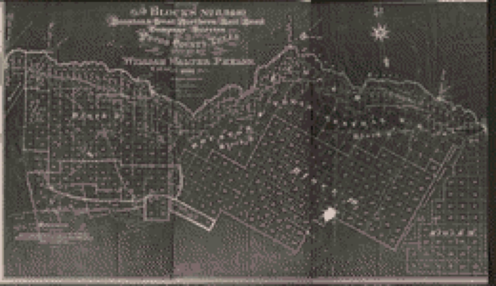
Selected from the Digital Public Library of America's 2 image records catalogued for this county. Every one shown here carries a public-domain status or a licence that permits reuse on a site that carries advertising; non-commercial, share-alike and restricted images are excluded. The selection is spread across the county's towns (at most eight per town), so no single institution's bulk upload crowds out the rest. Each opens the holding library's record, and the complete set at the Digital Public Library of America is one click away.

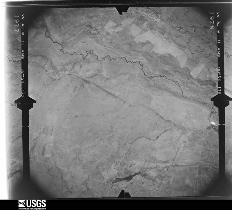
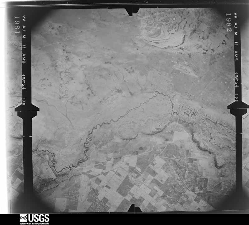
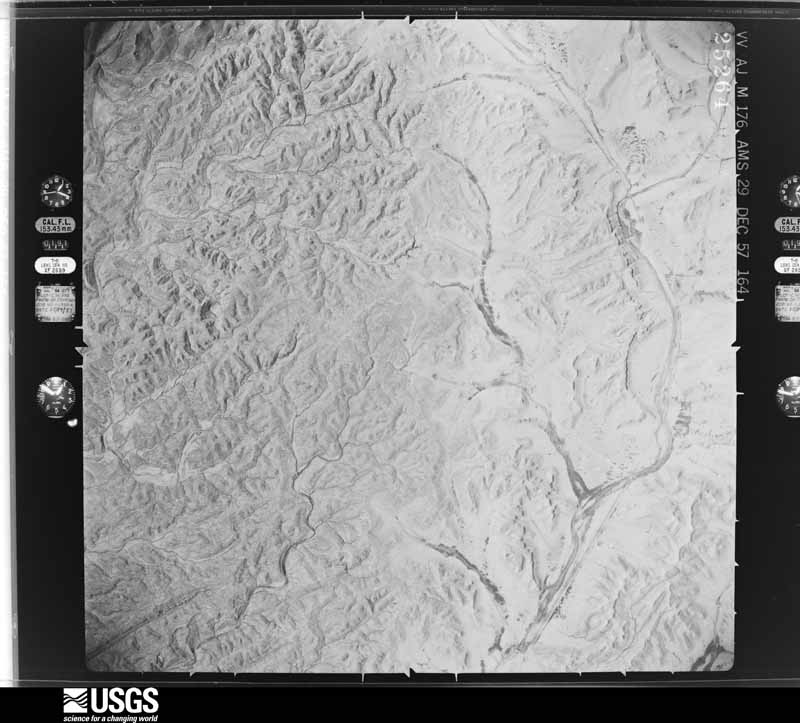
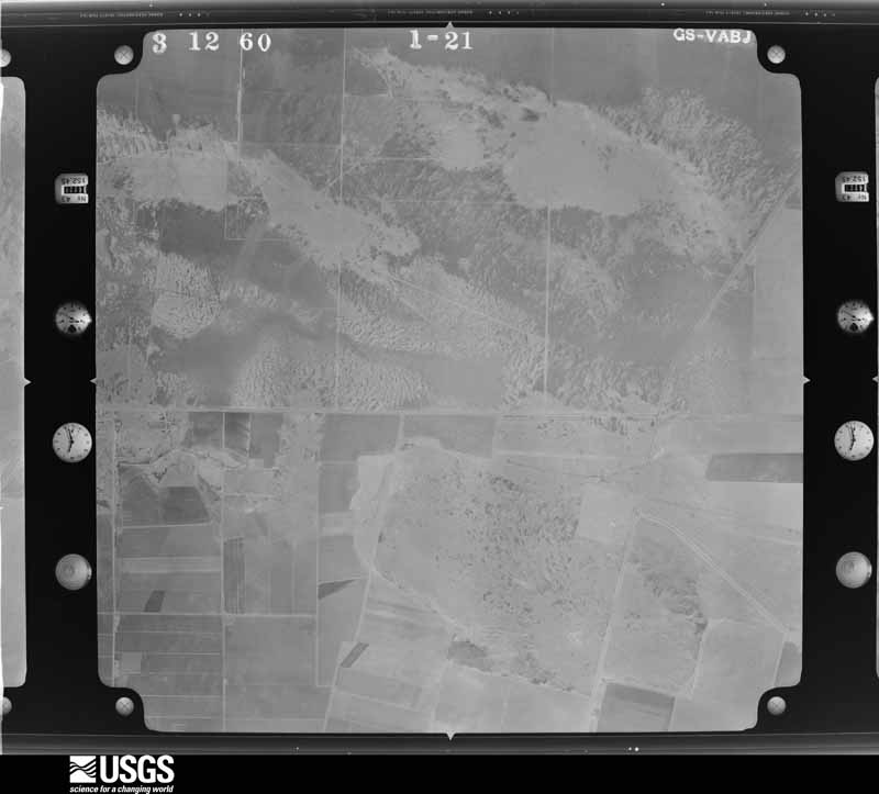
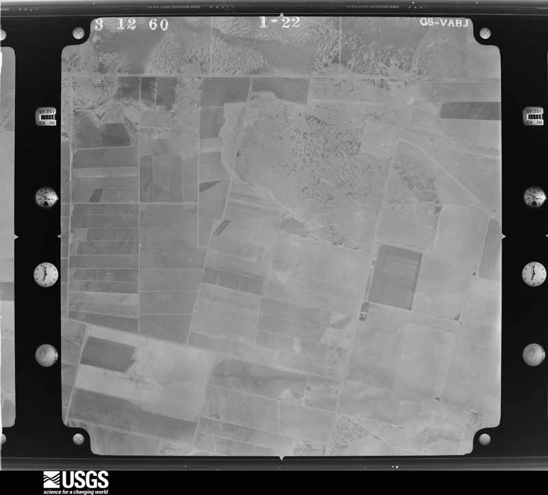
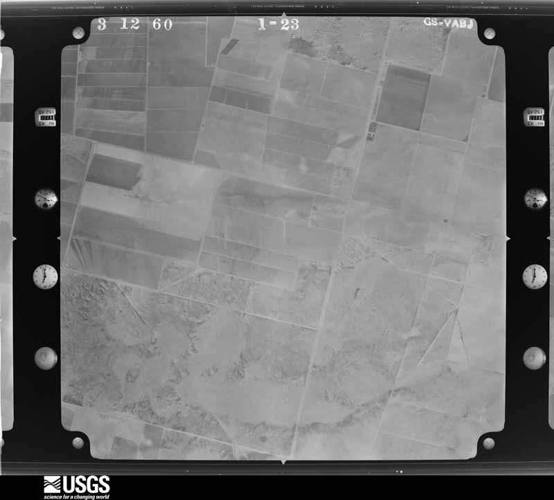
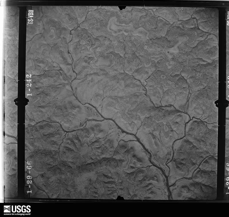
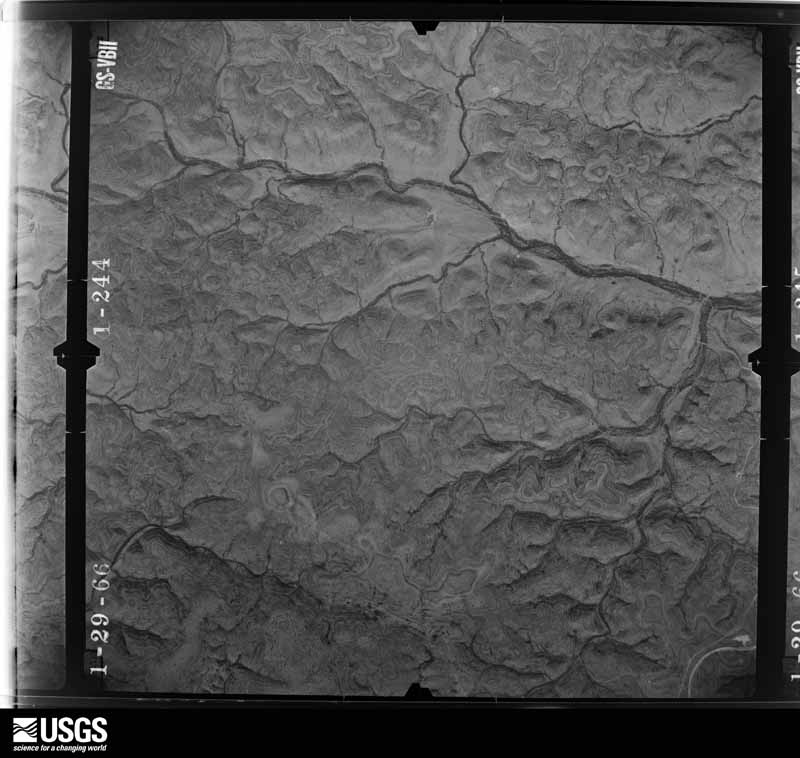
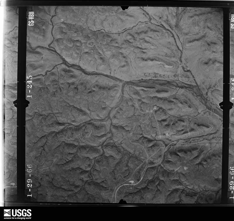
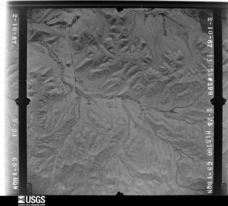
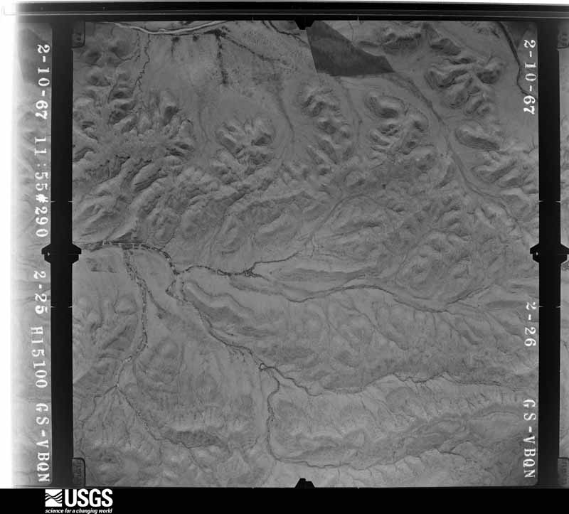
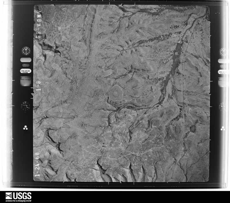
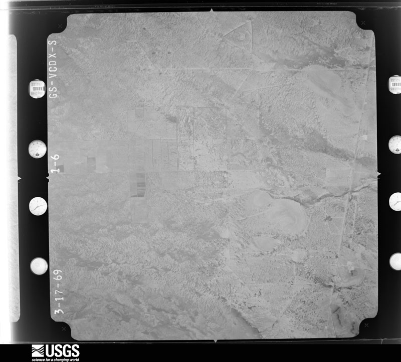
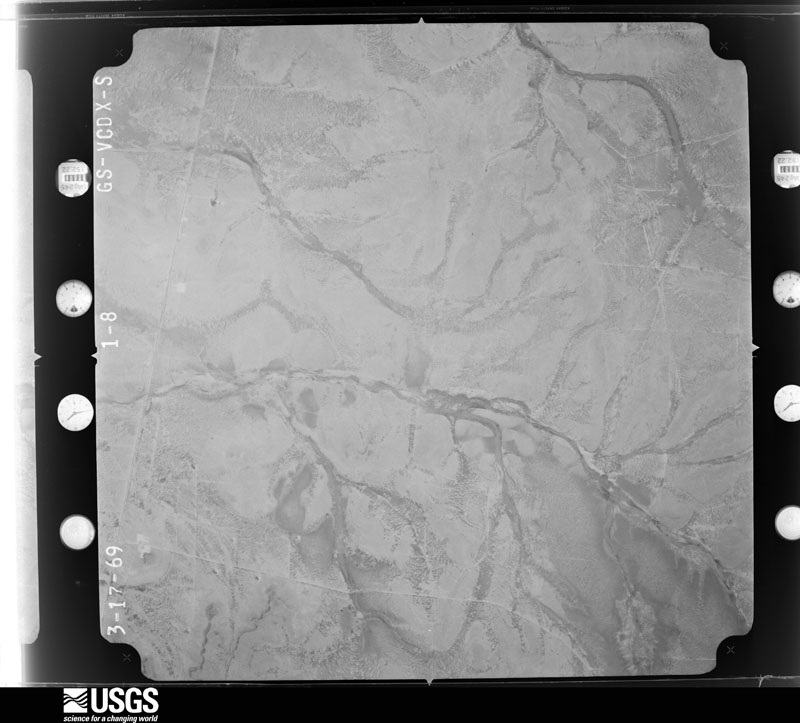
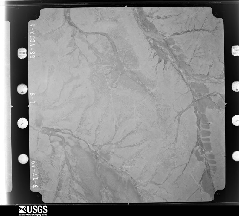
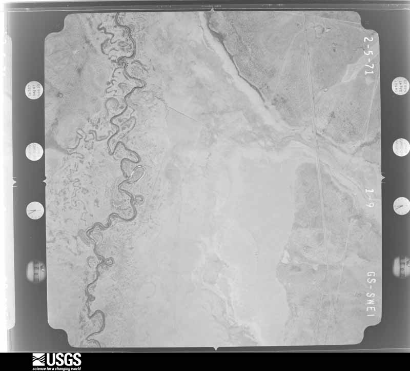
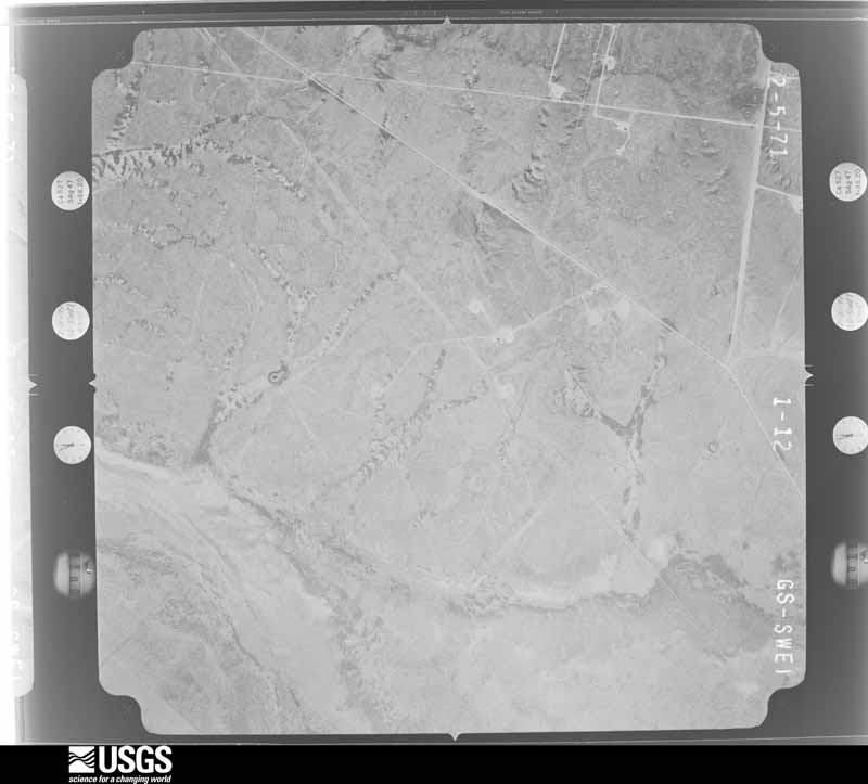
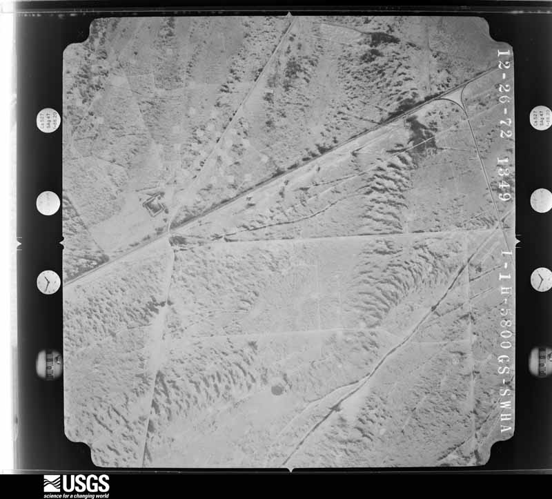
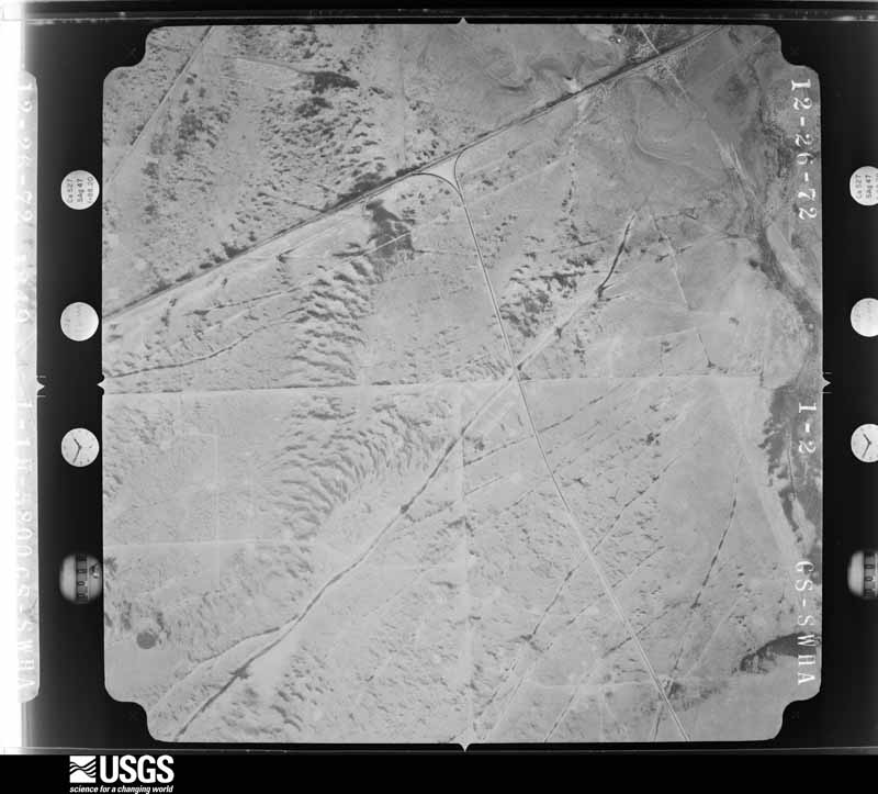
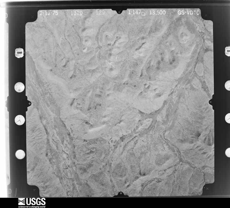
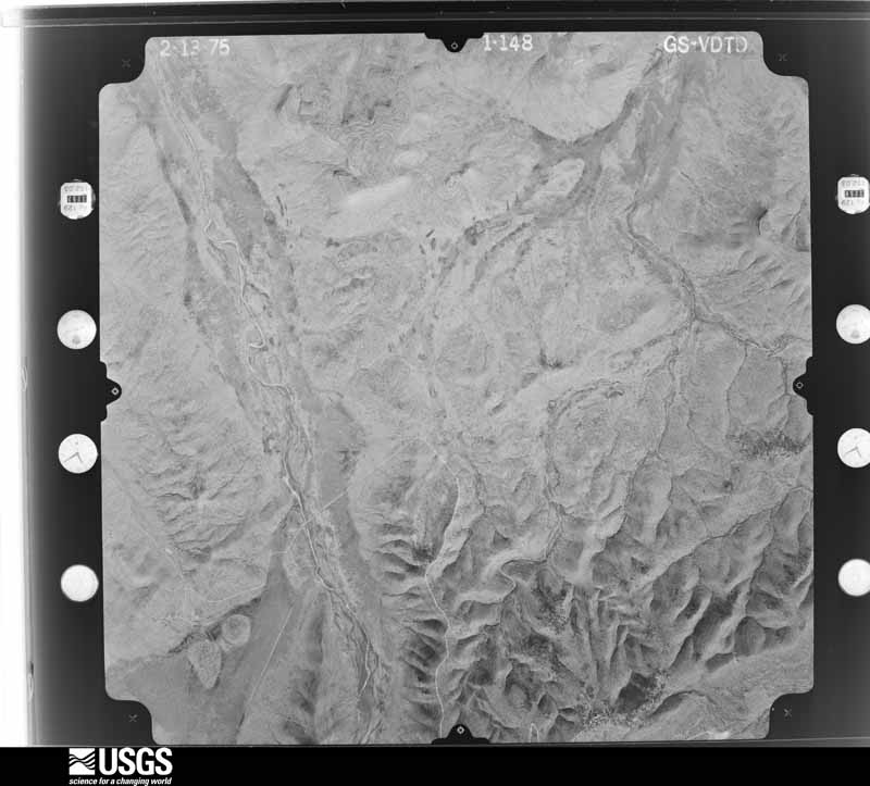
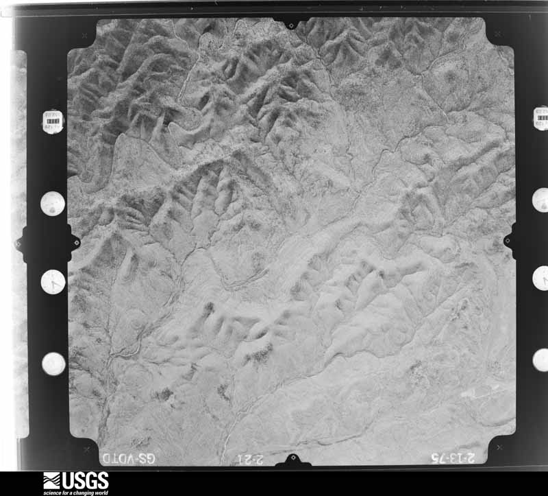
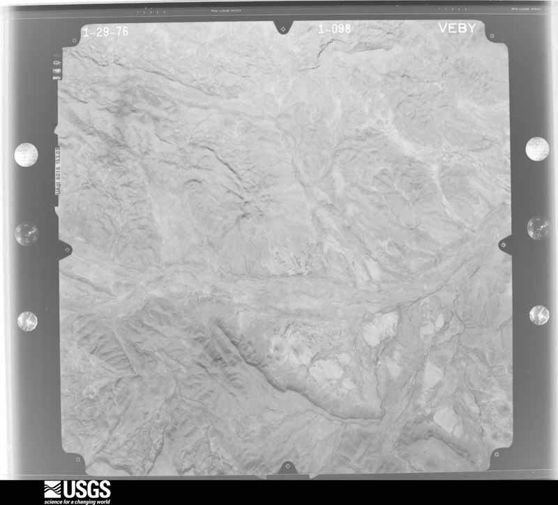
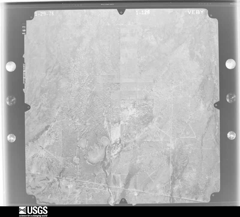
Flown by the U.S. Geological Survey between 1937 and 1989, the Aerial Photo Single Frames collection is the definitive mid-century view of the land: fields, roads and rivers as the camera saw them. The Survey holds 5,195 frames inside the rectangle that bounds this county; the 48 frames below were taken over the county itself, chosen across the decades of flights (at most four a year from that rectangle), so one flight cannot crowd out the rest. The full set is free to browse and download at EarthExplorer under the dataset Aerial Photo Single Frames.


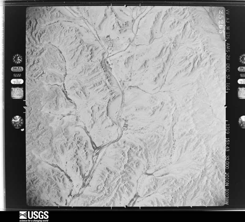
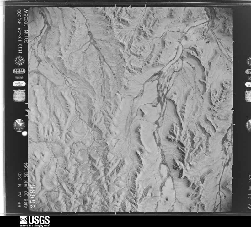
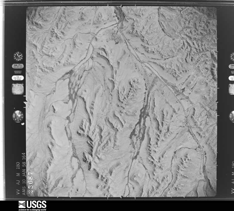
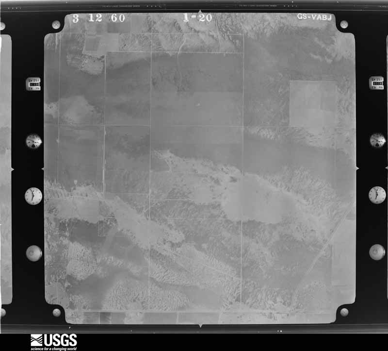

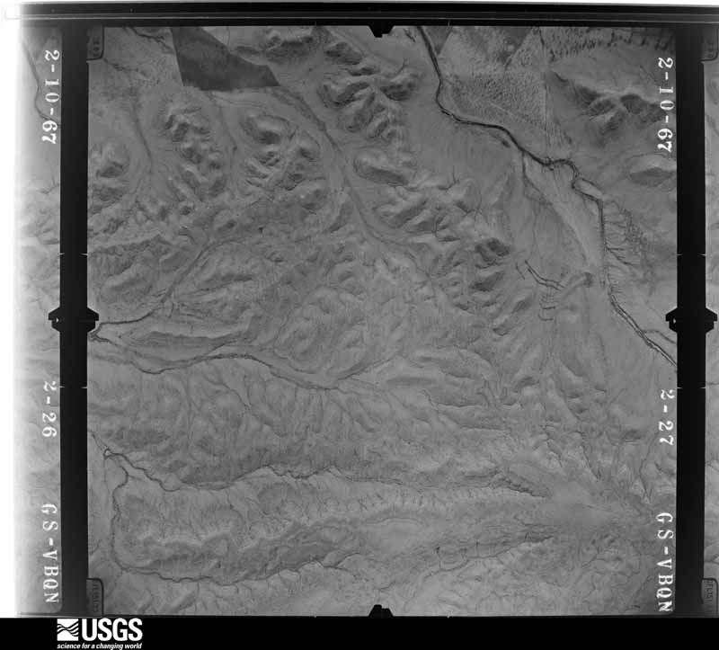
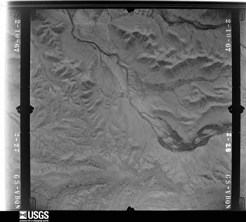
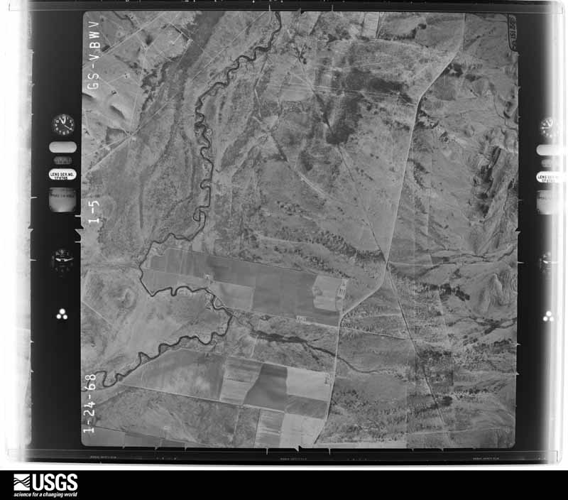
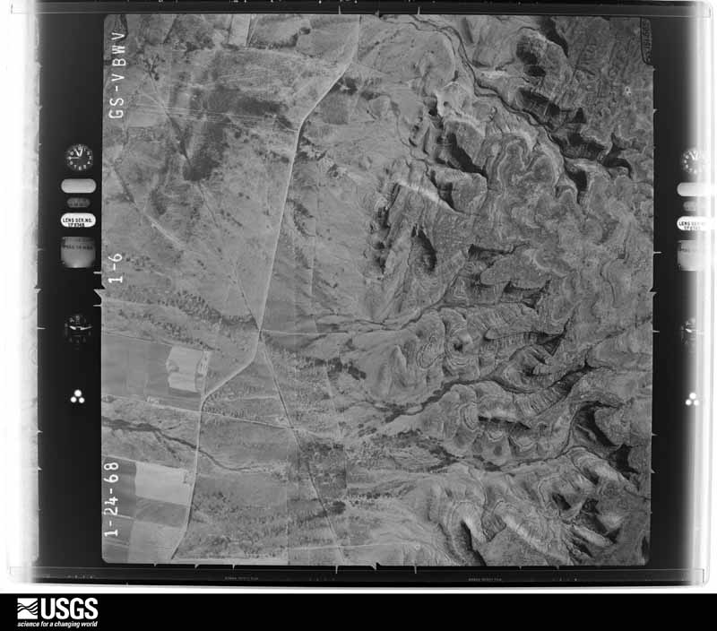




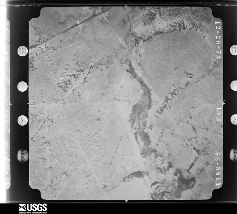

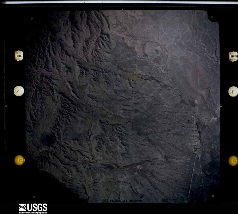
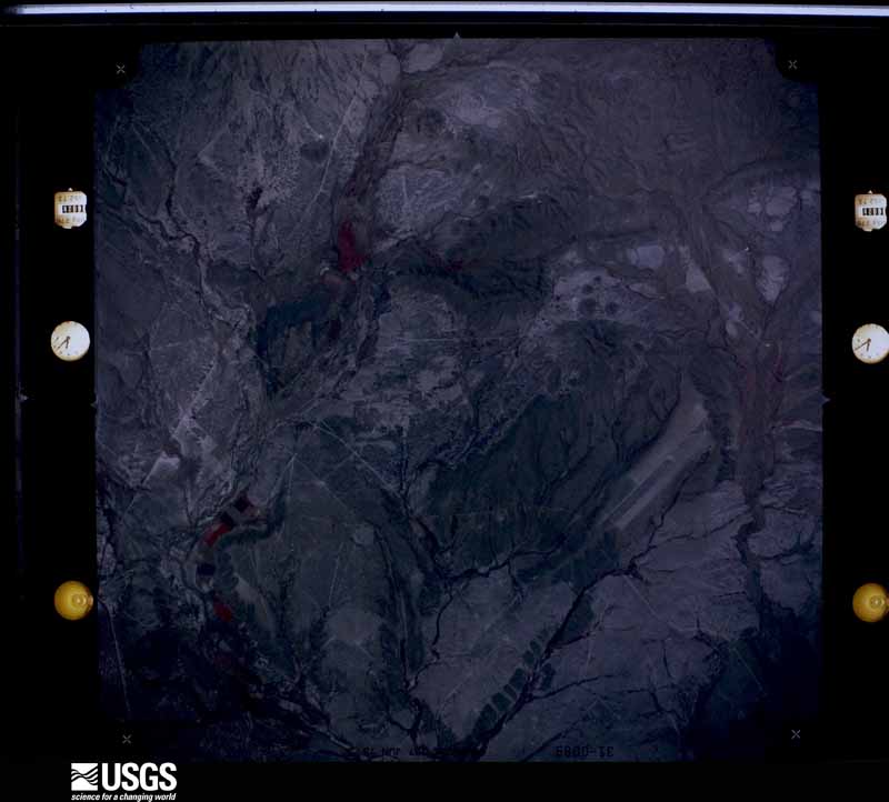




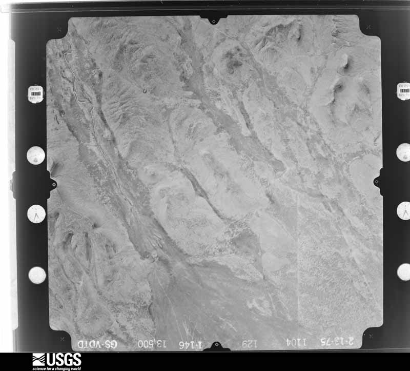
The thermometers that kept this county's weather, and the gages that measured the flow of its streams, as the federal records hold them. The extremes below are measured values from those records, not estimates.
Who lived here in 1950, one enumeration district at a time, as the Census Bureau described each district. Each row opens its official National Archives result, with Population Schedules and ED Maps available there.
Every wildfire the federal occurrence database records inside this county: 110 of them, burning about 220,311 acres. 48 started naturally and none was recorded as arson. Each settlement page carries the fires within five miles of it.
| Reported cause | Fires |
|---|---|
| Natural | 48 |
| Missing data/not specified/undetermined | 30 |
| Equipment and vehicle use | 14 |
| Power generation/transmission/distribution | 7 |
| Debris and open burning | 7 |
| Smoking | 2 |
| Railroad operations and maintenance | 1 |
| Recreation and ceremony | 1 |
The five largest, by the area the report gives. None of them was recorded as arson.
| Date | Cause | Size | Reported by | Name on the report |
|---|---|---|---|---|
| 11 April 2011 | Natural | 63,427 acres | Texas A & M Forest Service | CANNON COMPLEX |
| 14 March 2008 | Missing data/not specified/undetermined | 51,400 acres | Texas A & M Forest Service | PORTER |
| 4 May 2000 | Natural | 47,000 acres | Texas A & M Forest Service | COOK RANCH |
| 31 August 2020 | Natural | 11,348 acres | Texas A & M Forest Service | SMITH CANYON |
| 25 July 2011 | Equipment and vehicle use | 8,640 acres | Texas A & M Forest Service | STEGALL FIRE |
| 18 June 2011 | Natural | 8,000 acres | Texas A & M Forest Service | DHI FIRE |
| 28 February 2020 | Missing data/not specified/undetermined | 6,000 acres | Texas A & M Forest Service | LONGFELLOW NINE MILE |
| 7 March 2011 | Missing data/not specified/undetermined | 4,575 acres | Texas A & M Forest Service | PINON FIRE |
Every settlement page carries the fires within five miles of it - see the settlement index below.
The NOAA Storm Events Database holds 985 reports for this county, causing 2 deaths, 27 injuries and about $45,199,300 in recorded property damage. Each settlement page carries the reports that name it.
| Kind of event | Reports |
|---|---|
| Hail | 586 |
| Thunderstorm Wind | 174 |
| Flash Flood | 119 |
| Tornado | 98 |
| Funnel Cloud | 5 |
| Heavy Rain | 3 |
The most serious of them, by death, then injury, then recorded damage. The accounts are quoted exactly as the forecast office filed them.
| When | Event | Place named | Harm | What the report says |
|---|---|---|---|---|
| June 1990 | Tornado (F4) | not stated | 2 killed, 21 hurt, $25,000,000 | no account filed |
| June 1989 | Thunderstorm Wind | not stated | 4 hurt | no account filed |
| May 2000 | Thunderstorm Wind | Coyanosa | 1 hurt, $50,000 | The initial thunderstorm of the afternoon produced a dry microburst in the town of Coyanosa. One mobile home was overturned, a second mobile home sustained roof damage, while a hole was incurred in the side a third mobile home. One person received minor injuries. |
| May 1999 | Hail | Bakersfield | 1 hurt | Reported by people that saw the tornado. One person was operating a hail cannon (used to break up large hail stones). This person was pounded by the tennis ball size hail and received minor injuries. |
| April 1994 | Hail | Iraan | $5,000,000 | A severe thunderstorm dumped golf ball-size hail across the northern part of Iraan, causing an estimated $750,000 damage. Marathon Oil Company reported significant damage to about 100 of ,their vehicles. At least 70 other private vehicles were also damaged. Over 50 homes suffered significant roof damage and/or shattered skylights. |
| June 1995 | Hail | Fort Stockton | $2,500,000 | An isolated thunderstorm produced up to baseball-size hail. The public reported golf ball-size hail covering the ground, as well as estimated winds of 85 mph. The downtown area was hit hard, along with residences on the south side of town. Many windows were broken out of cars and residences, and a roof of a downtown business collapsed. Trees up to 30 inches in diameter were also reported toppled by the storm. |
| April 1990 | Tornado (F2) | not stated | $2,500,000 | no account filed |
| June 1999 | Hail | Sheffield | $1,800,000 | no account filed |
| June 2009 | Hail | Bakersfield | $1,500,000 | Mesa Vineyard lost eighty percent of their grapes due to hail damage. |
| June 2025 | Thunderstorm Wind | Ft Stockton | $600,000 | Approximately 50 homes were reported to have minor roof damage and 20 power poles were broken due to severe winds and hail in the city of Fort Stockton. The time of occurrence is estimated from radar. The cost of damages and maximum wind gust is also estimated. |
| May 2002 | Hail | Ft Stockton | $500,000 | Hail up to the size of softballs produced widespread damage on the north and east side of Fort Stockton. The KOA campground east of Ft. Stockton was significantly damaged. Wind blown hail stones drove holes into the north facing sides of mobile homes. There were numerous broken car and house windows in and near the city of Ft. Stockton. Witnesses reported the duration of large hail to be just under an hour. An NWS damage survey estimated damage to be in the range of a half a million dollars. |
| May 1993 | Hail | Imperial | $500,000 | The Imperial Fire Department reported baseball-size hail at Imperial. The hail caused extensive damage to the school, greenhouses, roofs and vehicles in the city. Damage is estimated at around $60,000. |
| June 2002 | Thunderstorm Wind | Ft Stockton | $400,000 | The local newspaper and the Red Cross reported significant roof damage to fourteen homes and a funeral home. In addition...numerous reports of downed power poles and tree damage were received. |
| May 2022 | Thunderstorm Wind | Ft Stockton | $315,000 | A thunderstorm moved across Pecos County and produced wind damage in Fort Stockton. There were multiple trees uprooted, leaning power poles, snapped power lines, and peeled or separated roofs at several homes, apartment buildings, and businesses on the south side of Fort Stockton. The storm survey results estimated peak wind speeds to be between 70 to 80 mph. The cost of damage is a very rough estimate. |
| August 2019 | Thunderstorm Wind | Ft Stockton | $300,000 | A thunderstorm moved across Pecos County and produced wind damage near Fort Stockton. An emergency manager reported three RVs blown over at an RV park along US 285 about a half mile south of Fort Stockton. The cost of damage is a very rough estimate. |
| June 1995 | Thunderstorm Wind | Ft Stockton | $300,000 | Report of first storm came from a local rancher. Second storm was a heatburst from a collapsing thunderstorm. Reports said that temperature surged from the mid 70s to the lower 90s. Damage to a mobile home park was extensive with two to three mobile homes destroyed and numerous trees and powerlines down. About half of the city's power was knocked out. |
| April 2025 | Thunderstorm Wind | Ft Stockton | $250,000 | Pecos County Emergency Manager reports multiple power lines down, affecting approximately 2,200 customers. Wind and hail damage caused minor roof damage and roof leaks. Wind speeds were estimated to be approximately 80 mph. The time and amount of property damage are estimates. |
| October 2022 | Flash Flood | Ft Stockton Arpt Fst | $250,000 | There were several water rescues in Fort Stockton. Schools and hospitals were flooded in town. |
| May 1978 | Tornado (F0) | not stated | $250,000 | no account filed |
| May 1961 | Tornado (F3) | not stated | $250,000 | no account filed |
| May 1961 | Tornado (F2) | not stated | $250,000 | no account filed |
| June 2025 | Flash Flood | Coyanosa | $200,000 | Several inches of runoff over FM 1776 with at least 10 low water crossings between Coyanosa and US 285. Time is estimated based on radar and reports. The property cost damage is an estimation. |
| June 2010 | Thunderstorm Wind | Ft Stockton Arpt Fst | $200,000 | An 82 mph wind gust damaged two hangars at the Pecos County Airport. It also destroyed several trees on the aiport's property. |
| August 2003 | Flash Flood | Countywide | $175,000 | Extensive flash flooding occured across most of Pecos County. Several high/swift water rescues were conducted along Highway 67 between Interstate 10 and Girvin. Parts of Highway 385 were inudated by over two feet of running water from 15 miles south of Fort Stockton to the near the Brewster County line 35 miles south of Fort Stockton. In addition, both Farm to Market Road 1053 and Highway 18 were closed due to high water 10 miles north of Fort Stockton. A rural NWS contact southeast of Fort Stockton had to be rescued from her home as flood waters entered the structure. No significant injuries were reported across the county. |
| July 2004 | Flash Flood | Sheffield | $130,000 | Heavy rainfall farther north over eastern Pecos County resulted in a crest of twenty feet along the Pecos River just east of Sheffield around 06:00 CST. This crest combined with the continuation of heavy rainfall caused extensive flash flooding in rural areas east and southeast of the city. Shortly before 16:00 CST travelers on Interstate 10 witnessed a pickup truck and a camper trailer floating beneath the Pecos River bridge. A search downstream by local authorities ensued, but many rural location across along the river were inaccessible due to extensive flooding. It was later determined that the pickup and camper trailer were swept into the Pecos River by flash flooding on the Pecos River Ranch near Sheffield. The vehicle and trailer were vacant when they were overtaken by raging flood waters, and were ultimately found many miles down river near the Rio Grande. Several head of cattle also were killed in the flood waters. |
| August 2004 | Thunderstorm Wind | Ft Stockton | $125,000 | Intense rear flank down draft winds developed along the southwest and west flank of the storm as it propagated south of Interstate 10. These winds destroyed two large hay barns on adjacent ranches between Belding and Fort Stockton, subjecting the hay to rain and causing a total loss. Debris from the tin roof of one barn was blown into a nearby homestead. Power poles and lines were snapped as the debris slammed into the house causing structural damage and killing a cow. |
| May 2019 | Thunderstorm Wind | Belding | $100,000 | A thunderstorm moved across Pecos County and produced thunderstorm damage in Belding. There were about 15 power poles knocked down, a metal roof was blown off of a building, and multiple hay barns collapsed on a local farm. A storm survey was done and it is estimated that the winds ranged from 85 to 100 mph. The cost of damage is a very rough estimate. |
| August 2004 | Flash Flood | Ft Stockton | $75,000 | Thunderstorms were stationary over Fort Stockton around midday on the 31st. These storms resulted in up to two inches of rainfall over the city by 11:00 CST. Extensive flooding in Fort Stockton was reported along with flooding along U.S. Highway 385 just southwest of the city. Fire department officials reported that several high water rescues were conducted in the south side of the city, and residents were evacuated from their homes in one neighborhood. A National Weather Service cooperative observer on the south side of Fort Stockton measured 5.10 inch of rain for the event. Flooding in the city receded by mid afternoon. High water persisted over U.S. Highway 385 just southwest of the city through 17:00 CST. No injuries were reported. |
| July 1998 | Thunderstorm Wind | Ft Stockton | $70,000 | A wet microburst hit the northwest side of Fort Stockton with damaging winds and blinding rains. Damage was scattered but locally impressive. The storm was moving from about 190 degrees with its first damage being apparently on the apex of the outflow. A strongly divergent pattern to the damage was noted with winds from 185 degrees on the west end versus 95 degrees on the east end. The damage path was approximately 3/4 mile wide.The apex of the outflow hit the La Quinta Hotel at the intersection of I-10 and U.S. 285. A large part of the roof was taken off the hotel. The roof was on the second story of the structure and was oriented such that it caught the wind along this apex. The section of roof covered 13 rooms on the second floor and was both a cover for the walkway and roof for the rooms. The roof section broke loose, went over the building and crashed into the parking lot on the other side. The roof section was moving fast enough to force itself under the rear tires of a vehicle and under a storage shed.To the east, other damage included a storage shed behind a car dealership that was broken loose from tie-down straps. The building was torn apart as it crossed a field with the roof catching in utility lines. A mobile home was rolled off its trailer at a Truck Stop. The main structure on a small lumber yard was destroyed by the winds as it took the corrugated metal roof off and pushed in an outside wall. Behind the lumber yard, much of a roof of storage building was torn off and trees were downed.The last damage on the extreme east side of the path was part of a convenience store roof that broke loose and struck the convenience store next door. The second store suffered large dents in its metal wall.A survey of the damage site was performed and an estimate of 85 mph winds was estimated at the La Quinta with 65 mph winds on the extreme east side of the damage. |
| May 1996 | Thunderstorm Wind | Ft Stockton Arpt Fst | $60,000 | no account filed |
| June 2025 | Flash Flood | Baldridge | $55,000 | Pecos County Emergency Manager reported that 3 high water rescues were taking place 4 miles south of I-10 along RM 2023. Up to 4 ft of water was reported to be across the road. The total time interval during which the flood occurred is estimated from radar and estimated runoff time. The cost of damages is also estimated. |
| April 2025 | Thunderstorm Wind | Ft Stockton | $50,000 | Pecos County Emergency Manager reports an 18-wheeler flipped over due to wind 10 miles south of Fort Stockton on Highway 285. Wind speeds were estimated to be approximately 80 MPH. The time and amount of property damage are estimates. |
| June 2025 | Flash Flood | Ft Stockton | $50,000 | US Highway 285 at Nineteen Draw is flooded over, and the road may be starting to wash out. The road is likely to be closed through the night. The time of occurrence is estimated from radar and based on the reported severity of the flooding. The cost of damages is also estimated. |
| April 2004 | Hail | Ft Stockton | $50,000 | A high precipitation supercell formed in extreme southwestern Pecos County early in the morning on Sunday, April 4th, and moved to the northeast, eventually affecting Fort Stockton. This thunderstorm produced extremely heavy rainfall, very high wind gusts (80 mph estimated), hail up to the size of golfballs, and flooding as it moved across the city of Fort Stockton. Quarter to golfball size hail was reported by the public. The hail lasted for ten minutes and accumulated to three inches deep in some places. The Belding Farms complex southwest of Fort Stockton reported extensive damage totaling approximately $2.5 million to pecan orchards. |
| May 2002 | Hail | Ft Stockton | $50,000 | Trained spotters reported golfball size hail breaking car and residential windows 8 to 10 miles east of Fort Stockton near Interstate 10. |
| May 1998 | Thunderstorm Wind | Ft Stockton | $50,000 | This cluster of storms formed on the northeastern foothills of the Davis Mountains then moved to the east into southern Reeves then western Pecos Counties. As a storm approached a rural development southwest of Fort Stockton, a bow echo formed that caused scattered damage across the grounds of a prison. Part of a roof was taken off a prison dorm and an interior wall partially collapsed. A section of the site's security fence was taken down as well. The dorm evacuated in favor of a gym for 270 inmates, then these inmates were relocated to other facilities in subsequent days. In a farming area, 1320 acres of cotton was destroyed. |
| June 1995 | Thunderstorm Wind | Fort Stockton | $50,000 | An isolated thunderstorm produced up to baseball-size hail. The public reported golf ball-size hail covering the ground, as well as estimated winds of 85 mph. The downtown area was hit hard, along with residences on the south side of town. Many windows were broken out of cars and residences, and a roof of a downtown business collapsed. Trees up to 30 inches in diameter were also reported toppled by the storm. |
| May 1994 | Hail | Bakersfield | $50,000 | no account filed |
| May 2022 | Thunderstorm Wind | Ft Stockton | $40,000 | A thunderstorm moved across Pecos County and produced wind damage one mile southeast of Fort Stockton. Damage to travel trailers was reported in Rooney Park and trees were uprooted. The cost of damage is a very rough estimate. |
| May 2008 | Thunderstorm Wind | Coyanosa | $40,000 | Strong thunderstorm winds downed powerlines and destroyed a camper trailer in Coyanosa. |
| August 2004 | Hail | Ft Stockton | $40,000 | Hailstones ranging in size from golfballs to tennis balls followed the damaging winds that destroyed a large hay barn and severely damaged a home on the property. The hail was responsible for additional damage to the home's roof and windows. |
| June 2002 | Thunderstorm Wind | Belding | $40,000 | Local law officials reported that severe thunderstorm winds blew down six power poles, along with destroying half of the roof on a residence. |
| June 2025 | Thunderstorm Wind | Ft Stockton | $30,000 | A single wide mobile home was reported to have been rolled on its side in the southeast part of Fort Stockton. The location is approximate. The time of occurrence is estimated from radar. The cost of damages and maximum wind gust is also estimated. |
| May 2022 | Thunderstorm Wind | Ft Stockton | $30,000 | A thunderstorm produced wind damage in Pecos County two miles east northeast of Fort Stockton. This damage was determined to be caused by rear-flank downdraft winds with estimated peak wind speeds of 90 mph. The damage included multiple destroyed billboards, two damaged metal buildings, and two 18-wheelers flipped along I-10. The cost of damage is a very rough estimate. |
| June 2009 | Hail | Ft Stockton | $30,000 | Damage was reported at the KOA campground, including damage to several motor homes. The hail was 2 to 3 inches deep. |
| June 2025 | Thunderstorm Wind | Ft Stockton | $25,000 | Approximately five power poles were reported to have been broken near the base near Alamo Elementary School. A wall of a nearby building was also partially blown inward. The time of occurrence is estimated from radar. The cost of damages and maximum wind gust is also estimated. |
| June 2024 | Thunderstorm Wind | Chancellor | $25,000 | Two 18-wheelers were reported to have flipped on I-10 between mile markers 235 and 238. The time is estimated from radar. Wind gust speed and property damage cost are estimations. |
| June 2023 | Thunderstorm Wind | Ft Stockton Arpt Fst | $25,000 | Power poles are down along State Highway 18. Time estimated from radar. Wind speeds are estimated to be 90 mph. Property damage cost is an estimation. |
| June 2023 | Thunderstorm Wind | Baldridge | $25,000 | Emergency management reported downed power poles about 5 miles south of I-10 along FM 2023. NWS Storm Survey found that this damage was caused by straight-line winds associated with the parent supercell thunderstorm and not a tornado. Wind speeds were estimated to be 118 mph. Property cost damage is an estimation. |
| September 2007 | Thunderstorm Wind | Ft Stockton | $25,000 | The Pecos County Emergency Manager reported that multiple homes in Fort Stockton sustained roof damage due to wind. |
| May 2005 | Thunderstorm Wind | Imperial | $25,000 | Fire department officials in Imperial reported that several 250 gallon diesel tanks were blown over by severe thunderstorm winds. In addition, a trampoline was lofted by the winds and blown over a house. |
| June 1990 | Tornado (F1) | not stated | $25,000 | no account filed |
| June 1989 | Tornado (F1) | not stated | $25,000 | no account filed |
| June 1988 | Tornado (F1) | not stated | $25,000 | no account filed |
| April 1960 | Tornado (F2) | not stated | $25,000 | no account filed |
| April 2025 | Thunderstorm Wind | Ft Stockton | $20,000 | Pecos County Emergency Manager reported a roof torn off and a canopy shed displaced. Wind speeds were estimated to have been approximately 80 mph. The time and amount of property damage are estimations. |
| April 2025 | Thunderstorm Wind | Chancellor | $20,000 | Pecos County Emergency Manager reported a broken wooden power pole and a damaged heavy-duty windmill. The damage direction was to the south, with no damage to nearby objects. A separate storm chaser photograph of the thunderstorm during the estimated damage time supports straight-line wind damage from the supercell's rear-flanking downdraft. Wind speeds were estimated to be 80 MPH. The time and amount of property damage are estimates. |
| June 2014 | Thunderstorm Wind | Ft Stockton | $20,000 | A thunderstorm moved across Pecos County and produced downburst winds near Fort Stockton. An 18 wheeler was flipped over, nine power poles snapped, a large billboard sign fell to the ground, and an exit sign blew over as a result of this wind. The cost of damage is a very rough estimate. |
| May 2008 | Hail | Imperial Res | $20,000 | Windows were knocked out by softball sized hail between Imperial and Grandfalls. |
| June 2008 | Hail | Ft Stockton | $20,000 | Nickel to golfball sized hail fell in the city of Fort Stockton. |
The Survey's mineral resources record lists 30 workings inside this county. 23 still produce and 7 are closed or unrecorded. Each settlement page carries the workings within five miles of it.
| Commodity | Workings |
|---|---|
| Sand and Gravel, Construction | 9 |
| Sulfur | 9 |
| Limestone, General, Stone, Crushed/Broken | 6 |
| Bromine | 4 |
| Limestone, General | 1 |
| Zinc, Lead | 1 |
The least common of them first, because a county's hundredth gravel pit says nothing its first ten did not.
| Where | Site | Commodity | Status | Recorded |
|---|---|---|---|---|
| Los Nietos Occurrence | Zinc, Lead | Occurrence | 1949 | |
| Stroman Quarry | Limestone, General | Producer | Limestone | |
| Fort Stockton Station | Bromine | Producer | Brine | |
| Fort Stockton Station | Bromine | Producer | Brine | |
| Imperial Station | Bromine | Producer | Brine | |
| Sheffield Station | Bromine | Producer | Brine | |
| Adams Quarry | Limestone, General, Stone, Crushed/Broken | Producer | Limestone | |
| Mendal Quarry | Limestone, General, Stone, Crushed/Broken | Producer | Limestone | |
| Strain Quarry | Limestone, General, Stone, Crushed/Broken | Producer | Limestone | |
| University Quarry | Limestone, General, Stone, Crushed/Broken | Producer | Limestone | |
| Unnamed Quarry | Limestone, General, Stone, Crushed/Broken | Producer | Limestone | |
| Unnamed Quarry | Limestone, General, Stone, Crushed/Broken | Producer | Limestone | |
| Clayton Williams Pit | Sand and Gravel, Construction | Producer | Gravel, Sand | |
| Comanche Creek Mine | Sulfur | Past Producer | 1967, 1983 | |
| Comanche Creek Mine | Sulfur | Producer | 1975 | |
| Coyanosa Complex Sulphur Plant | Sulfur | Producer | ||
| Duval Corp Sulfur Mine | Sulfur | Past Producer | ||
| Fort Stockton Mine | Sulfur | Past Producer | 1900, 1968, 1975 | |
| Fort Stockton Sulfur Mine | Sulfur | Past Producer | 1900, 1968 | |
| Hale Junior Pit | Sand and Gravel, Construction | Producer | Gravel, Sand | |
| Heiner Mine | Sulfur | Past Producer | 1967, 1970 | |
| Imperial Pit | Sand and Gravel, Construction | Producer | Gravel, Sand | |
| Imperial Pit | Sand and Gravel, Construction | Producer | ||
| Monroe Pit | Sand and Gravel, Construction | Producer | Gravel, Sand | |
| Pecos River Dredge Operation | Sand and Gravel, Construction | Producer | Gravel, Sand | |
| Phipps Pit | Sand and Gravel, Construction | Producer | Gravel, Sand | |
| Phipps Sand and Gravel Co. Pit | Sand and Gravel, Construction | Producer | ||
| Unnamed Prospect | Sulfur | Occurrence | Sulfur | |
| Wilson Pit | Sand and Gravel, Construction | Producer | Gravel, Sand | |
| Yates Gas Plantsulfur | Sulfur | Producer |
Named settlements recorded in the Geographic Names Information System, each with the topographic sheets covering it. Villages, hamlets and abandoned places alike. Each is shown with the nearest named watercourse or landform and the survey quadrangle it falls on.
Fort Stockton census division · 79735 · Twelvemile Mesa quadrangle
11 sheets, 1921 to 1985
Iraan census division · 79752 · Near Tunas Peak · Bakersfield quadrangle
9 sheets, 1929 to 1985
Fort Stockton census division · 79735 · Fort Stockton East quadrangle
11 sheets, 1921 to 1985
Fort Stockton census division · 79735 · Fort Stockton West quadrangle
11 sheets, 1921 to 1985
Fort Stockton census division · 79735 · Fort Stockton West quadrangle
11 sheets, 1921 to 1985
Fort Stockton census division · Near Yolts Draw · Longfellow quadrangle
9 sheets, 1920 to 1985
Iraan census division · 79781 · Near Pecos Peak · Sheffield quadrangle
7 sheets, 1929 to 1985