 Block
BlockBurnet, Texas
15 topographic sheets cover this place, the earliest surveyed in 1887 and the latest in 1992. It stands in the Burnet census division. It lies in ZIP code area 78611. It stands on Daugherty Branch. The Survey maps it on the Burnet quadrangle. 6,436 people lived here at the 2020 count. It stands 1,286 feet above sea level.
Research this city
On record in Burnet
Buildings and businesses the archive holds for this place. Each opens its own page, with the source record it came from.
On the National Register 2 records
 Burnet County Courthouselisted 2000
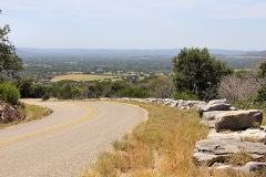 Park Road 4 Historic Districtlisted 2011
Surveyed buildings and structures 1 record
- Park Road 4, Connects U.S. Highway 281 to State Highway 29, running through Longhorn Cavern State Park and Inks Lake State Park, Burnetfederal building survey, 1 photograph
Population over time
2 figuresBurnet grew from 5,987 to 6,436 between 2010 and 2020. These are the recorded population figures Wikidata holds for this place, reached through the Geographic Names Information System number this page is keyed on rather than by name, so they belong to this place and not to another of the same name. Most are census counts, but not all are: an early figure may be a founding or settlement estimate, and an estimate published within five years of a census is left out. The change column is computed, and is left blank where more than 20 years separate a figure from the one before it, because a gap that long is not a change between two counts.
| Year | People | Change |
|---|---|---|
| 2010 | 5,987 | |
| 2020 | 6,436 | +449 (+7%) |
Topographic sheets covering this place
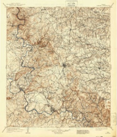
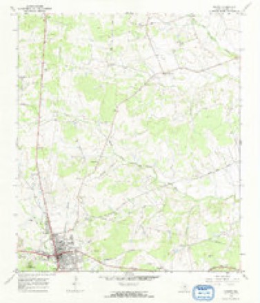
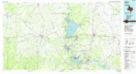
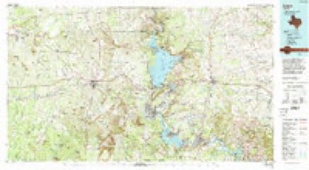
10 surveys from 15 printed sheetsMatched by testing this settlement's coordinate against the published boundary of every sheet in the United States Geological Survey's historical collection. Each opens the scanned sheet at the Survey.
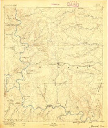
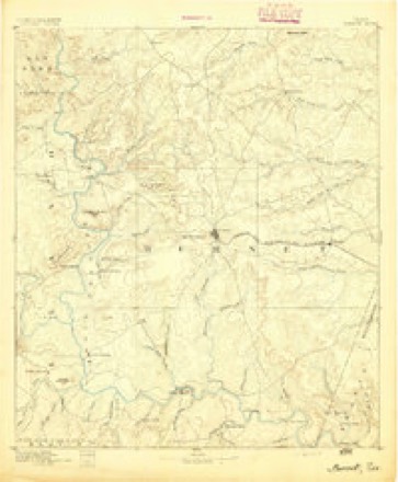
- 1887 USGS Burnet quadrangle1:125000
- 1893 USGS Burnet quadrangle1:125000
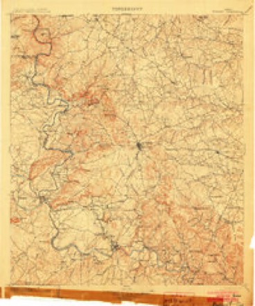
- 1903 USGS Burnet quadrangle1:125000
- 1909 USGS Burnet quadrangle1:125000, 3 printings
- 1954 USGS Llano quadrangle1:250000, 2 printings
- 1955 USGS Llano quadrangle1:250000
- 1956 USGS Llano quadrangle1:250000
- 1967 USGS Burnet quadrangle1:24000, 2 printings
- 1985 USGS Llano quadrangle1:100000
- 1992 USGS Llano quadrangle1:100000, 2 printings
Photographs
8 of 32 photographs shown, 2014Taken for the Office of War Information and the Farm Security Administration, who photographed the country between 1935 and 1944. Works of United States government photographers, with no known restriction on use. Each opens its catalogue record.
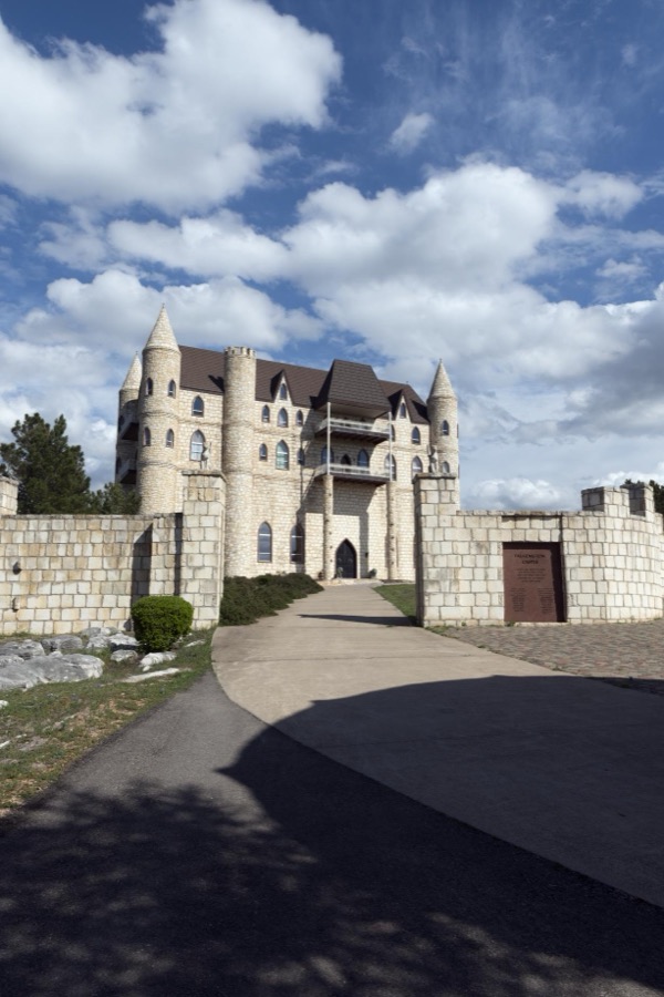
Highsmith, Carol M, 2014. Library of Congress
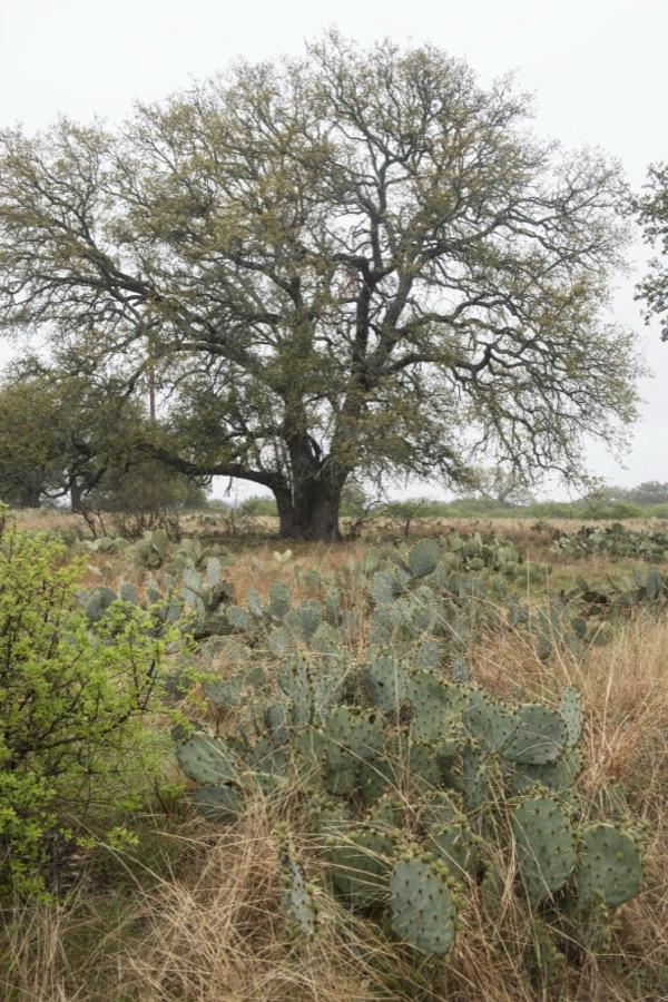
Highsmith, Carol M, 2014. Library of Congress
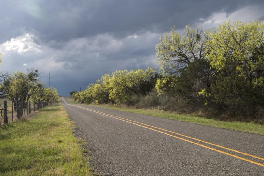
Highsmith, Carol M, 2014. Library of Congress

Highsmith, Carol M, 2014. Library of Congress
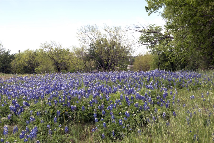
Highsmith, Carol M, 2014. Library of Congress
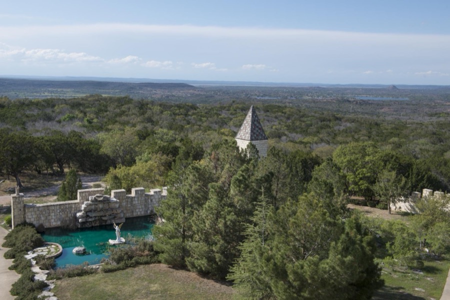
Highsmith, Carol M, 2014. Library of Congress

Highsmith, Carol M, 2014. Library of Congress

Highsmith, Carol M, 2014. Library of Congress
Every photograph of Burnet County
Fires near this place
105 since 2004Regional context, not property-specific evidence. The federal wildfire occurrence database lists 105 fires within 5 miles of Burnet between 2004 and 2019, burning about 2,009 acres in total. 1 started naturally. 3 were recorded as arson. Distance is straight-line from the map coordinates, so a fire counted here may appear on a neighbouring settlement's page as well.
| Reported cause | Fires |
|---|---|
| Debris and open burning | 73 |
| Missing data/not specified/undetermined | 14 |
| Equipment and vehicle use | 5 |
| Railroad operations and maintenance | 5 |
| Smoking | 4 |
| Arson/incendiarism | 3 |
| Natural | 1 |
The most recent of them, most recent first, with the day each was reported and the service that recorded it.
| Date | Cause | Size | Reported by | Name on the report |
|---|---|---|---|---|
| 8 September 2019 | Debris and open burning | 72 acres | Texas A & M Forest Service | YUCCA |
| 27 September 2011 | Natural | 1.0 acres | Texas A & M Forest Service | HOOVER VALLEY ASSIST |
| 27 September 2011 | Debris and open burning | 50 acres | Texas A & M Forest Service | GRASS FIRE |
| 25 September 2011 | Smoking | 10 acres | Texas A & M Forest Service | 281/103 FIRE |
| 22 September 2017 | Debris and open burning | 20 acres | Texas A & M Forest Service | SKYLINE CIRCLE |
| 11 September 2010 | Debris and open burning | under an acre | Texas A & M Forest Service | GRASS FIRE |
| 8 August 2011 | Debris and open burning | 4.0 acres | Texas A & M Forest Service | SUMMIT RIDGE |
| 8 August 2011 | Equipment and vehicle use | 470 acres | Texas A & M Forest Service | BURNET COUNTY COMPLEX |
Settlements close enough to share some of these fires:
Mines and quarries near this place
8 within 5 milesRegional context, not property-specific evidence. The federal mineral resources record lists 8 workings within 5 miles of Burnet: 4 occurrences, 2 past producers, 1 producer, 1 unknown. 1 still produces. What was taken out: Fluorine-Fluorite, Dolomite, Zinc, Fluorine-Fluorite, Silver, Gold, Molybdenum, Copper, Silver, Fluorine-Fluorite. Distance is straight-line from the map coordinates, so a quarry counted here may appear on a neighbouring settlement's page as well.
| Where | Site | Commodity | Status | Recorded |
|---|---|---|---|---|
| Dow Quarry | Dolomite | Producer | Sedimentary | |
| Pavitte Prospect | Copper, Silver, Gold | Occurrence | ||
| Spring Creek Prospect | Zinc, Fluorine-Fluorite, Silver, Gold, Molybdenum | Occurrence | Fluorite, Galena, Molybdenite, Pyrite, Sphalerite | |
| White Eagle | Copper | Unknown | ||
| White Eagle Prospect | Copper, Silver, Fluorine-Fluorite | Past Producer | Vein | |
| Fluorite Prospect | Fluorine-Fluorite | Occurrence | Fluorite | |
| Fluorite Prospect | Fluorine-Fluorite | Occurrence | Fluorite | |
| Gibbs | Fluorine-Fluorite | Past Producer |
Storms near this place
51 since 1995Regional context, not property-specific evidence. The National Weather Service names Burnet in 51 storm reports between 1995 and 2025: 22 hail, 14 thunderstorm wind, 8 flash flood, 5 tornado. The reports record 2 deaths. Each account below is quoted exactly as the forecast office filed it, from the NOAA Storm Events Database, and each date opens the federal record of that event.
| When | Event | Place named | Harm | What the report says |
|---|---|---|---|---|
| July 2025 | Flash Flood | Burnet | 2 killed, $6,000,000 | Slow-moving thunderstorms brought heavy rain for several hours to Burnet on the morning of July 5. Burnet Municipal Airport reported 8.67 inches of rain. An LCRA gauge in Burnet reported 11.67 inches. The torrential rainfall caused the rapid rise of Hamilton Creek. Additional inundation also occurred along Daugherty Branch and Haynie Branch in Burnet. Homes, businesses, and other buildings along Hamilton Creek experienced up to 7 ft of inundation. Oak St. in the northwestern part of the city was especially hard hit by the swollen Hamilton Creek. Around a dozen homes along the road were damaged, primarily near 7th and 8th Street. One house was torn off its foundation and was carried by floodwaters onto the opposite side of the street. Several businesses were flooded along South Water St. A 57 year old man was swept by floodwaters while commuting through Burnet along US 281. His body was recovered about a quarter mile away from his vehicle along Hamilton Creek. Most of the units at the Hamilton Creek Manor housing complex were impacted by floodwaters. Fields at YMCA of the Highland Lakes on the south side of Burnet were damaged by flooding with fences washed out and dugouts damaged. Pafford Place Assisted Living was heavily damaged. An 85 year old man at the facility drowned in the flooding. Seven others were successfully evacuated from Pafford Place. Parts of Burnet Municipal Airport experienced 5 to 7 ft of inundation, resulting in damage to PAPI lighting and the runway. Several homes were inundated along Delaware Creek to the west and southwest of Burnet with washouts on roads. Across the county first responders rescued at least 63 people. The county Emergency Manager estimated more than 400 homes were affected and the damages were at least $6 million. |
| October 2001 | Thunderstorm Wind | Burnet | $150,000 | Severe thunderstorm winds blew the roofs off homes around Burnet. |
| June 2002 | Thunderstorm Wind | Burnet | $100,000 | Roofs were torn off homes by severe thunderstorm winds estimated at 50 to 60 knots. |
| May 2001 | Thunderstorm Wind | Burnet | $100,000 | Trees were split and knocked over into homes by severe thunderstorm winds. An aircraft was flipped onto its top at the Burnet airport by the winds. |
| March 2000 | Thunderstorm Wind | Burnet | $100,000 | Severe thunderstorm winds destroyed several roofs and collapsed a metal building in Burnet. |
| November 2000 | Tornado (F0) | Burnet | $80,000 | A small and short-lived tornado was observed by the public as it touched down near Burnet. It damaged two homes and some barns and around a dozen trees before lifting and dissipating. |
| October 2006 | Thunderstorm Wind | Burnet | $50,000 | Thunderstorms produced a wind gust measured at 54 knots as they struck the Burnet Municipal Airport. Moving northeastward near 25 mph, they produced winds estimated as high as 60 knots, blowing down trees and power lines in the city of Burnet, and tearing the roof off a barn. Sporadic wind damage persisted as the storms continued to knock over trees and power lines between Burnet and Briggs. |
| May 1995 | Thunderstorm Wind | Burnet | $20,000 | Trees were uprooted and roofs were damaged between Burnet and Bertram. |
| May 1995 | Thunderstorm Wind | Burnet | $20,000 | Tree and roof damage was indicated. |
| May 2008 | Tornado (EF0) | Burnet | $10,000 | Storm survey revealed a small tornado crossed a wooded area and partially struck a mobile home on Overlook Trail. There was light damage to a parked vehicle in front of the home. A small porch was damaged and lumber was thrown into the front window. A large two by four was found stuck into a pop up travel camper next to the mobile home. Numerous trees were damaged. |
| June 1995 | Tornado (F1) | Burnet | $10,000 | Small tornado touched down briefly, causing minor building damage. |
| May 1999 | Thunderstorm Wind | Burnet | $10,000 | no account filed |
| May 2018 | Thunderstorm Wind | Burnet | $5,000 | A thunderstorm produced wind gusts estimated at 80 mph that damaged the Metal Mart building east of Burnet. A garage door on the building was blown in by the wind and sheet metal was strewn about. |
| August 2012 | Thunderstorm Wind | Burnet | $5,000 | The Burnet County Sheriff's Office reported a thunderstorm produced wind gusts estimated at 58 mph that caused minor roof damage to some homes. |
| May 2008 | Thunderstorm Wind | Burnet | $5,000 | Multiple trees were reported down or snapped across the county. A large bow echo moved through the county and produced wind damage mainly through the central sections of the county from Granite Shoals, to Marble Falls, to Burnet, and over to Bertram. |
| February 1998 | Thunderstorm Wind | Burnet | $5,000 | no account filed |
| May 2025 | Hail | Burnet | - | A thunderstorm produced quarter size hail southwest of Bertram. |
| April 2023 | Hail | Burnet | - | A thunderstorm produced half dollar size hail in Burnet. |
| April 2023 | Hail | Burnet | - | A thunderstorm produced quarter size hail in Burnet. |
| April 2023 | Hail | Burnet | - | A thunderstorm produced quarter size hail east of Burnet. |
| May 2023 | Flash Flood | Burnet | - | Thunderstorms produced heavy rain that flooded a road southeast of Burnet. |
| May 2023 | Hail | Burnet | - | A thunderstorm produced quarter size hail east of Burnet. |
| May 2023 | Hail | Burnet | - | A thunderstorm produced two inch diameter hail east of Burnet. |
| May 2023 | Hail | Burnet | - | A thunderstorm produced egg size hail on Hwy 29 east of Burnet. |
| May 2023 | Flash Flood | Burnet | - | Thunderstorms produced heavy rain that led to street flooding in Burnet. |
| June 2023 | Hail | Burnet | - | A thunderstorm produced quarter size hail in Burnet. |
| November 2016 | Flood | Burnet | - | Thunderstorms produced heavy rain that caused minor flooding sending water over the road at the intersection of CR340 and CR340A east of Hamilton Creek. |
| May 2015 | Flash Flood | Burnet | - | Thunderstorms produced heavy rain that caused Hamilton Creek to flood a road. |
| October 2012 | Thunderstorm Wind | Burnet | - | A thunderstorm produced wind gusts estimated at 58 mph that blew down some small trees. |
| July 2007 | Flash Flood | Burnet | - | Thunderstorms produced a general 2 to 3 inch rain over much of Llano, Burnet, Blanco and Williamson Counties. Up to 4 inches was reported in the extreme northwest part of Burnet County. Flash flooding closed most rural roads in that corner of the county, including FM2341. |
| May 2007 | Flash Flood | Burnet | - | Between 4 and 6 inches of rain fell in thunderstorms along the Burnet-Lampasas County line in the northwest part of Burnet County. Flash flooding closed US281 through the early morning hours. Many rural roads, including FM2341, were also closed. |
| April 2006 | Thunderstorm Wind | Burnet | - | Severe thunderstorm winds damaged a barn and destroyed a shed. |
| May 2006 | Tornado (F0) | Burnet | - | The Burnet County Sheriff's Department reported that a second tornado touched down briefly near Oatmeal. It did not cause any visible damage. |
| May 2006 | Tornado (F0) | Burnet | - | A small tornado was spotted by the Burnet County Sheriff's Department as it touched down briefly in an open field near Lake Victor. No damage was noted. |
| August 2005 | Flash Flood | Burnet | - | Thunderstorms over the north half of Burnet County dropped between 1 and 2 inches or rain, with up to 4 inches falling between Burnet and Okalla near the Lampasas County line. High water closed FM963 through the late morning. |
| September 2005 | Flash Flood | Burnet | - | Showers and thunderstorms produced between 1 and 2 inches of rain over northwestern Burnet County. The heaviest rain fell north of SH29 and west of FM693, where up to 4 inches was reported. In the mid morning, the Sheriff's Department closed US281 around 10 miles north of Burnet due to flash flooding. |
| April 2021 | Hail | Burnet | - | no account filed |
| May 2011 | Funnel Cloud | Burnet | - | no account filed |
| May 2007 | Hail | Burnet | - | no account filed |
| March 2006 | Hail | Burnet | - | no account filed |
| April 2006 | Hail | Burnet | - | no account filed |
| May 2006 | Hail | Burnet | - | no account filed |
| May 2006 | Hail | Burnet | - | no account filed |
| April 2005 | Hail | Burnet | - | no account filed |
| February 2004 | Hail | Burnet | - | no account filed |
| May 2001 | Hail | Burnet | - | no account filed |
| June 2001 | Hail | Burnet | - | no account filed |
| April 2000 | Hail | Burnet | - | no account filed |
| July 2000 | Hail | Burnet | - | no account filed |
| May 1999 | Hail | Burnet | - | no account filed |
| February 1998 | Hail | Burnet | - | no account filed |
Nearest settlements
The eight closest, with where each one stands in the county. Distances are straight-line, computed from the Geographic Names Information System coordinates.
| Map | Place | Distance | Sheets |
|---|---|---|---|
| Gandy | 2.7 miles | 17 | |
| Sudduth | 7.0 miles | 19 | |
| Oatmeal | 8.3 miles | 17 | |
| Fairland | 8.4 miles | 19 | |
| Shady Grove | 8.9 miles | 14 | |
| Scobee | 9.0 miles | 19 | |
| Bertram | 9.2 miles | 17 | |
| Lake Victor | 10.6 miles | 14 |
Elsewhere
Matched on this settlement's Geographic Names Information System number rather than its name, so it cannot be a different place of the same name in another state.
| Wikipedia article on Burnet | An encyclopaedic summary. Its text is share-alike, so it is linked here rather than copied. |
| Wikidata item Q979916 | The structured record the population and elevation above come from. Public domain (CC0). |
Provenance
This settlement is recorded in the Geographic Names Information System as feature 1353341. The sheet list is computed by point-in-boundary test against the United States Geological Survey's historical topographic inventory. Both are works of the United States government and carry no copyright under 17 U.S.C. 105.
Wildfire. Short, Karen C. 2022. Spatial wildfire occurrence data for the United States, 1992-2020 [FPA_FOD_20221014]. 6th Edition. Fort Collins, CO: Forest Service Research Data Archive. https://doi.org/10.2737/RDS-2013-0009.6 Collected with United States Government funding and usable without additional permissions or fees.
Mines and quarries. USGS Mineral Resources Data System (MRDS) https://mrdata.usgs.gov/mrds/ A work of the United States government, no copyright under 17 U.S.C. 105.
Storms. NOAA National Centers for Environmental Information, Storm Events Database https://www.ncei.noaa.gov/stormevents/ A work of the United States government, no copyright under 17 U.S.C. 105. Narratives are quoted verbatim from the National Weather Service report and are not edited or summarised.