 Block
BlockFrom the record
6 National Register listings published here.
Sources: the National Register database, National Park Service
74 topographic sheets and 14 fire insurance atlases across 2 places.
6 National Register listings published here.
Sources: the National Register database, National Park Service
Taken for the Office of War Information and the Farm Security Administration, who photographed the country between 1935 and 1944. Works of United States government photographers, with no known restriction on use. Each opens its catalogue record.
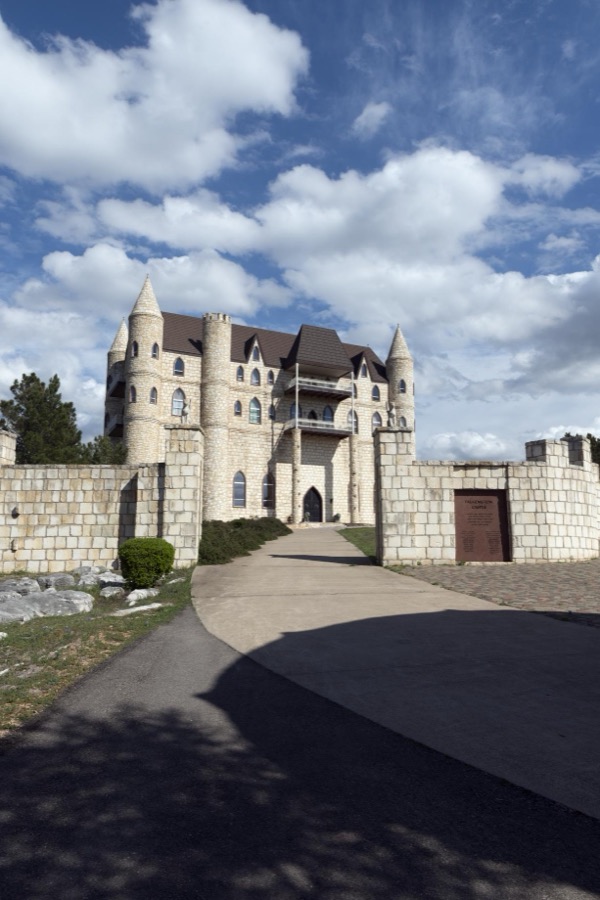
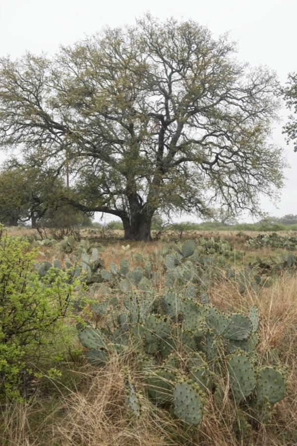
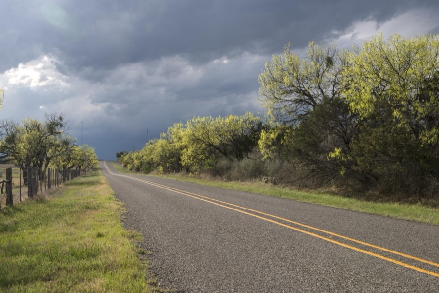

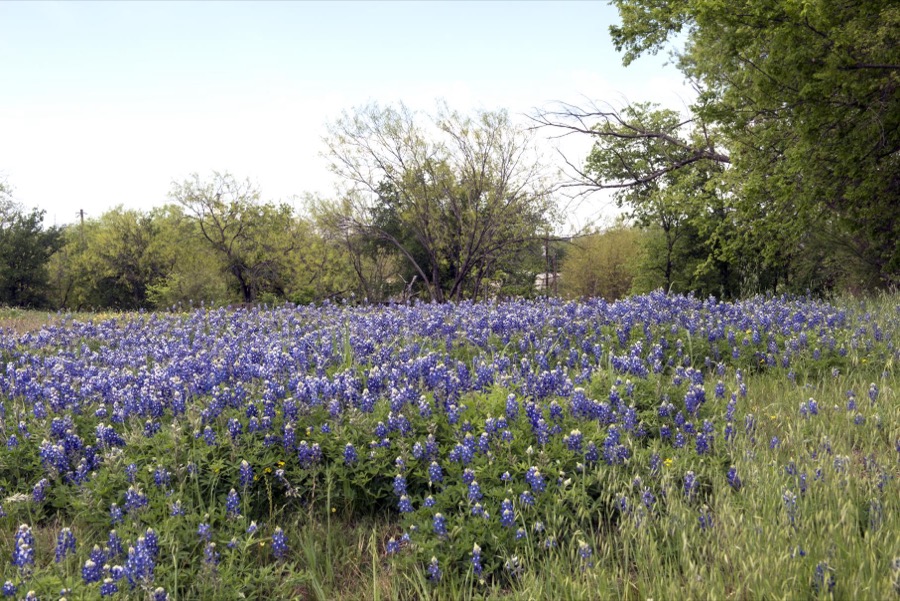
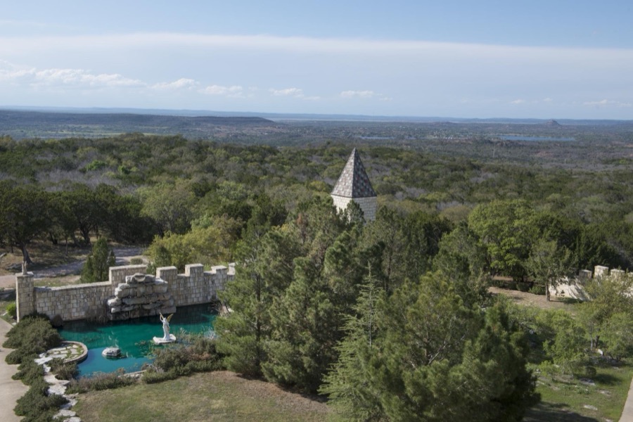


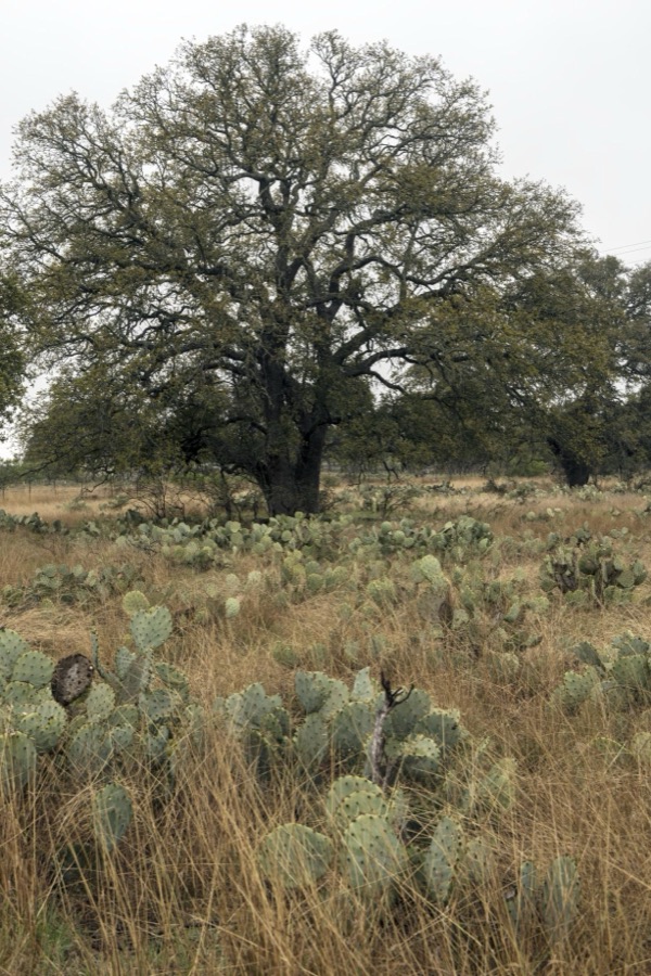

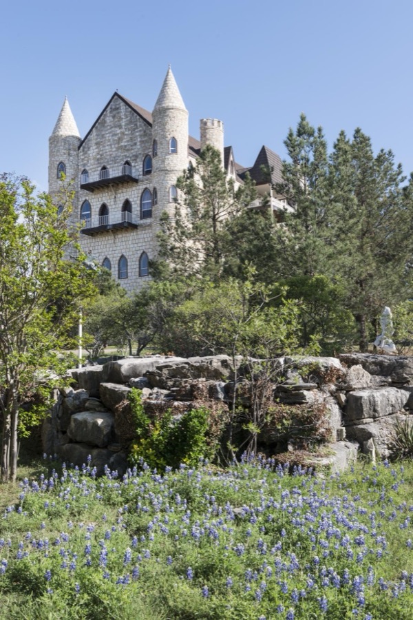
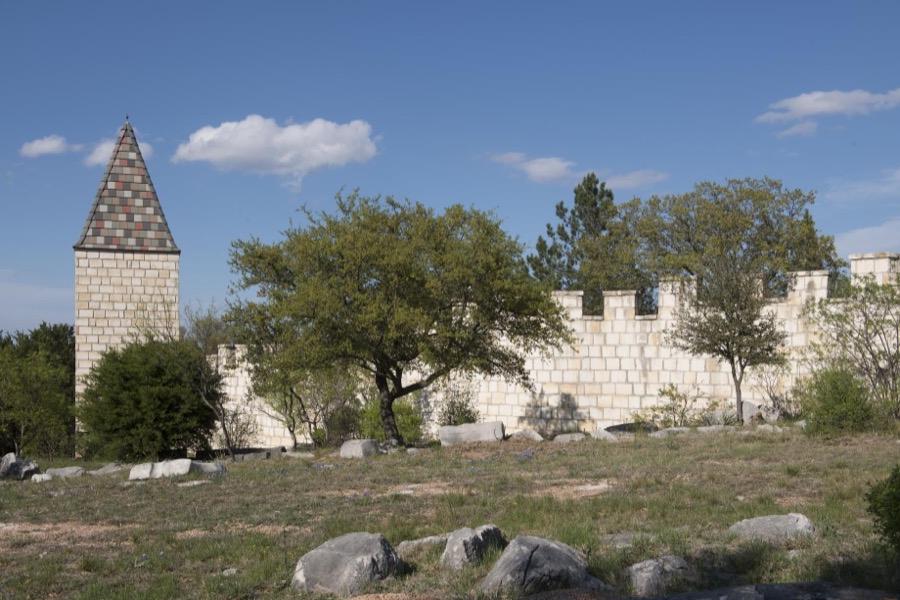
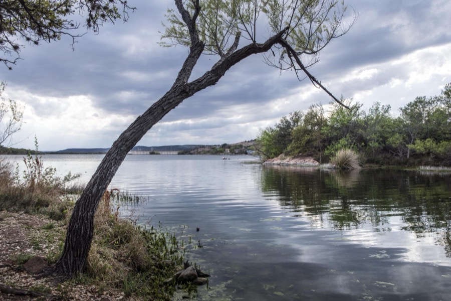
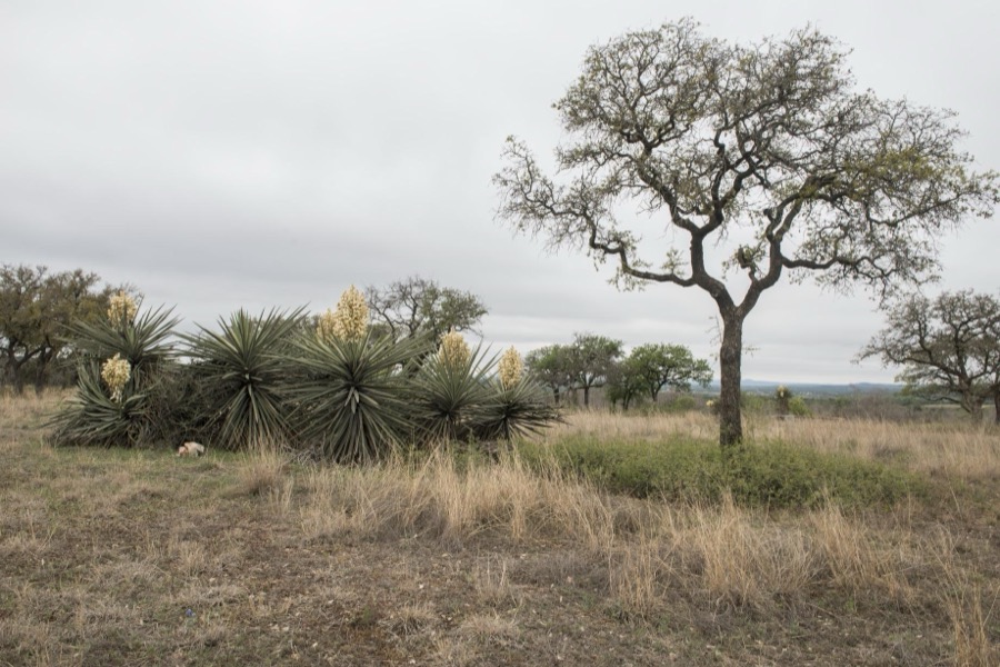
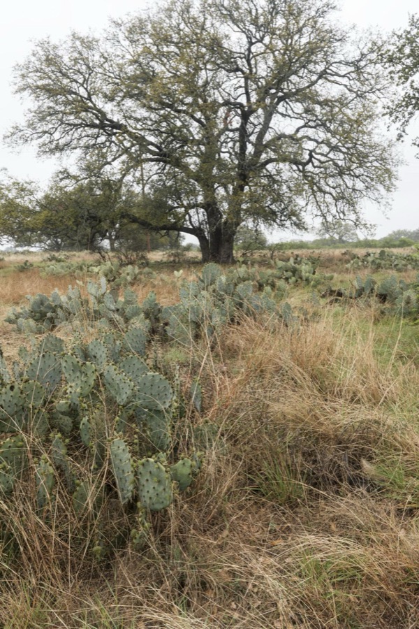
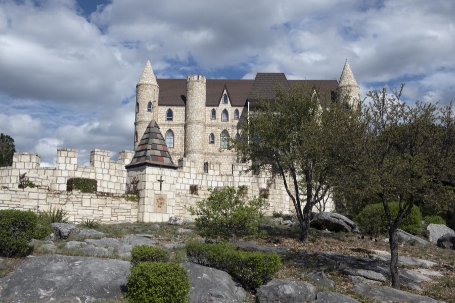
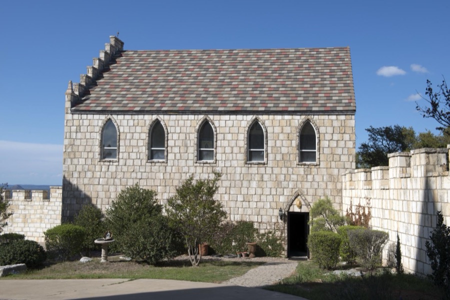
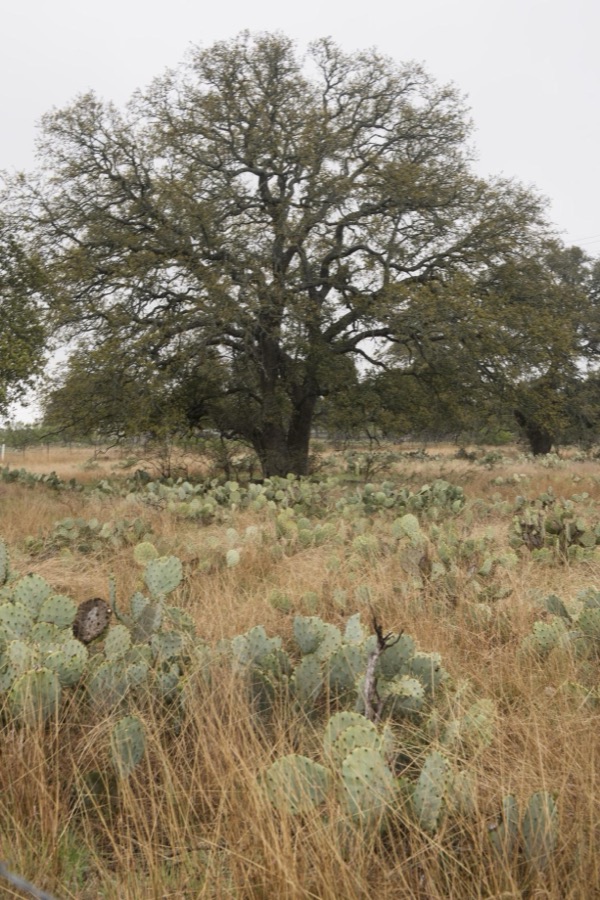
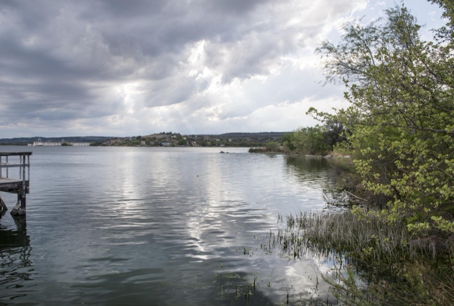
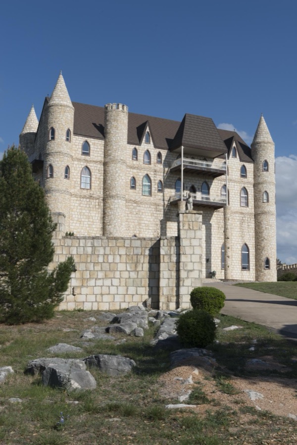
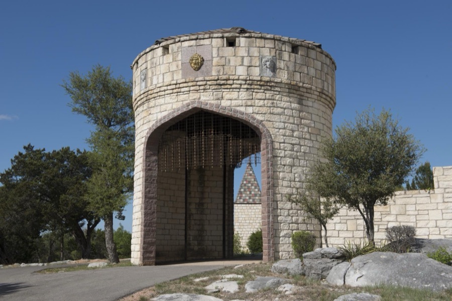
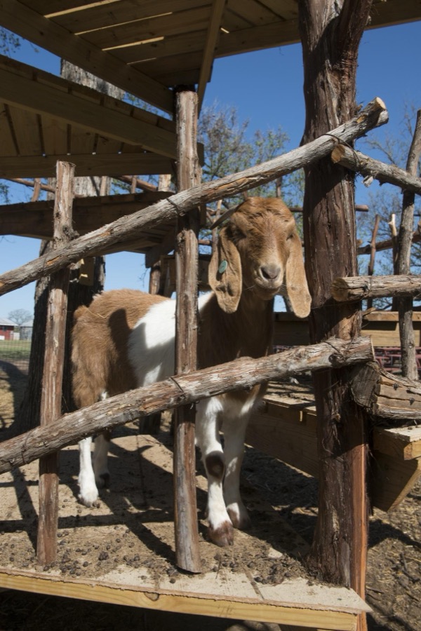

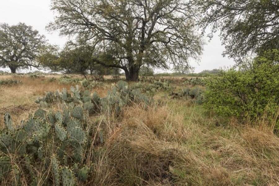
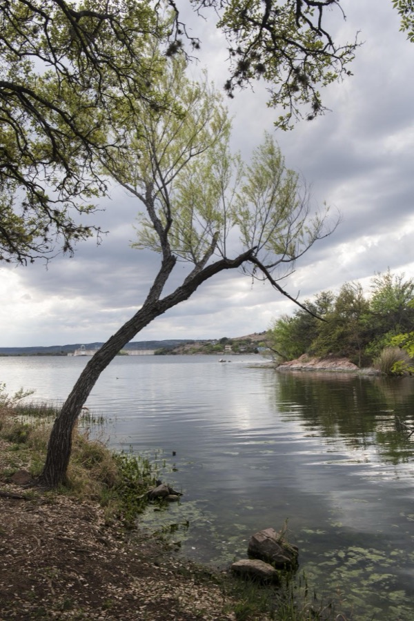
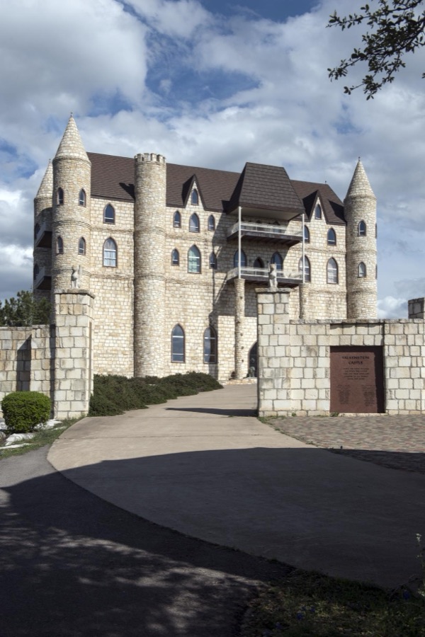
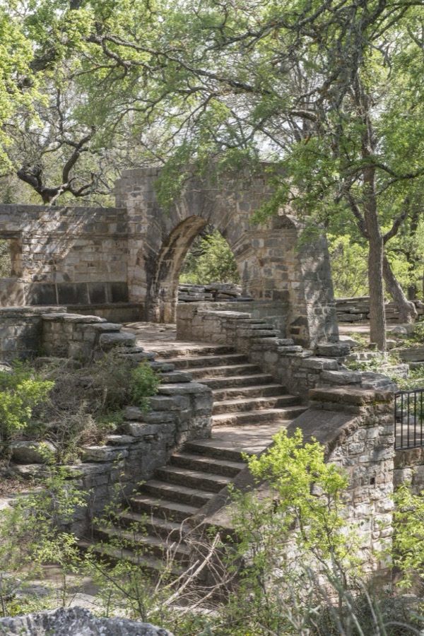
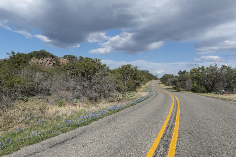
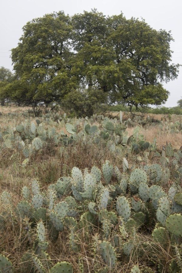
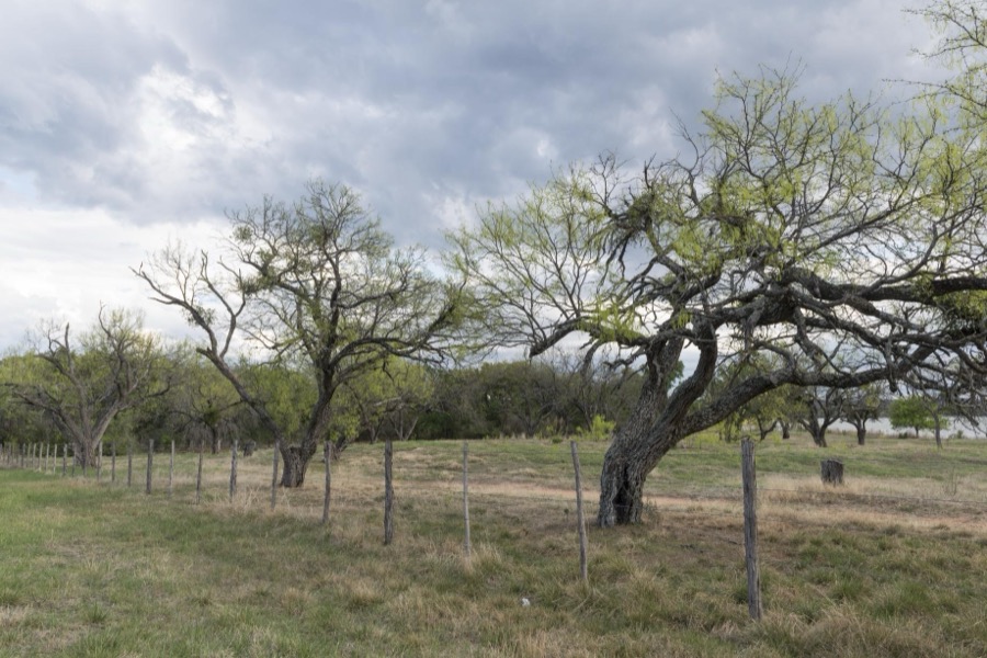
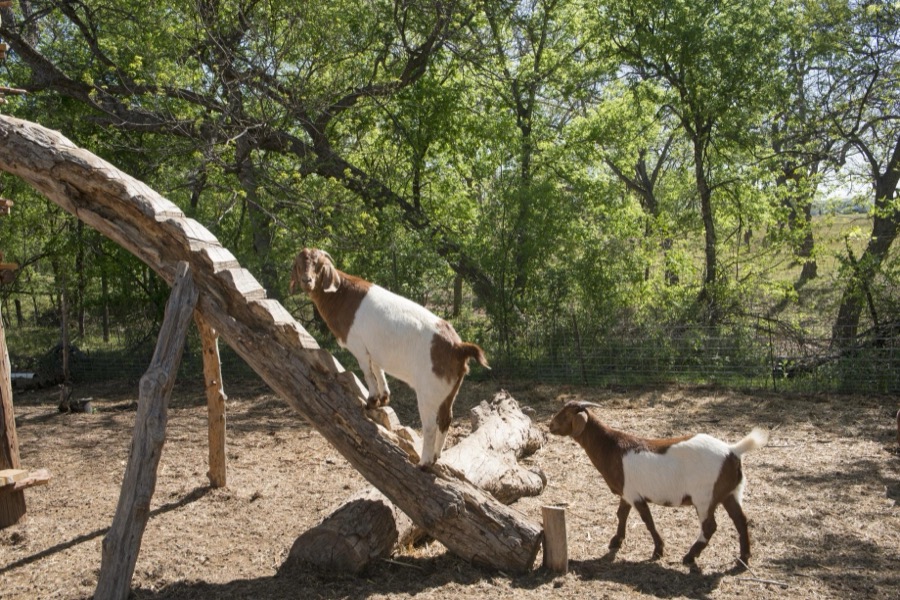


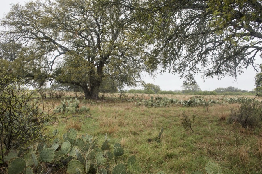
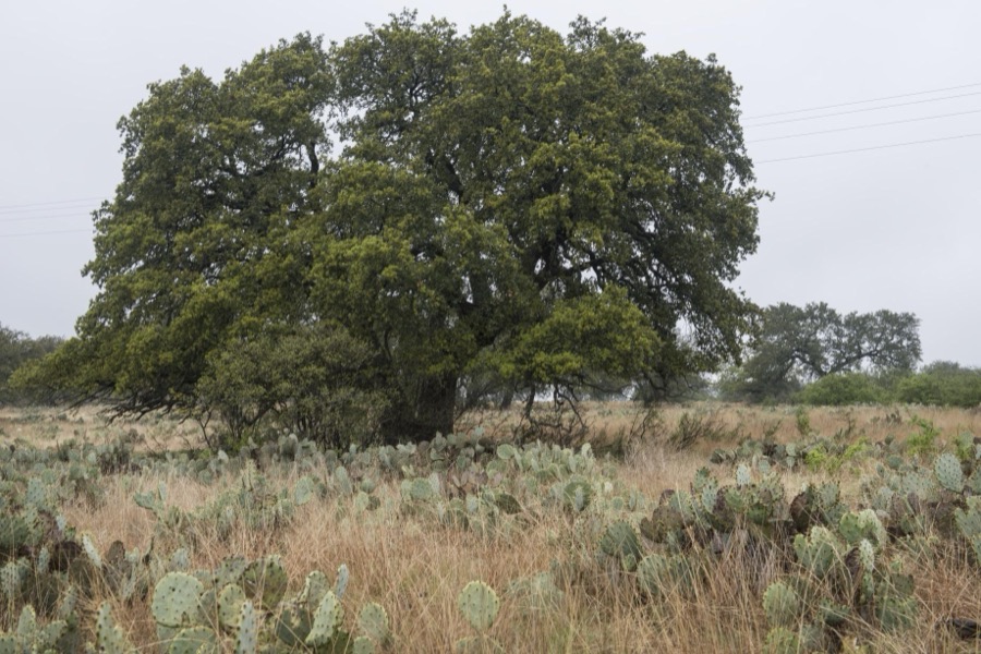
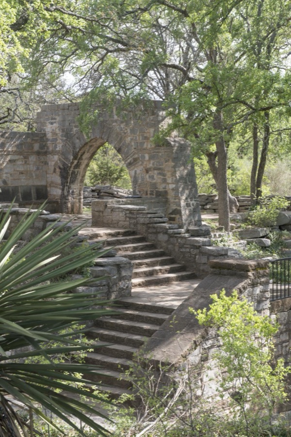
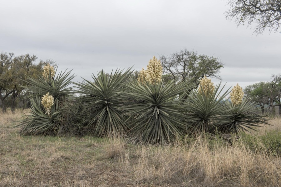
Every property in this county listed on the National Register of Historic Places, with the year it was listed and the federal nomination document.
| Photograph | Property | Type | Listed | Reference |
|---|---|---|---|---|
 | Austin and Northwestern Railroad Historic District-Fairland to Llano | district | 1997 | 97001161 |
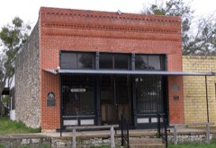 | Briggs State Bank | building | 2000 | 00000885 |
 | Burnet County Courthouse | building | 2000 | 00001384 |
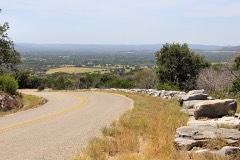 | Park Road 4 Historic District | district | 2011 | 10001221 |
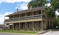 | Roper Hotel | building | 1980 | 80004083 |
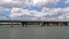 | State Highway 29 Bridge at the Colorado River | structure | 1996 | 96001116 |
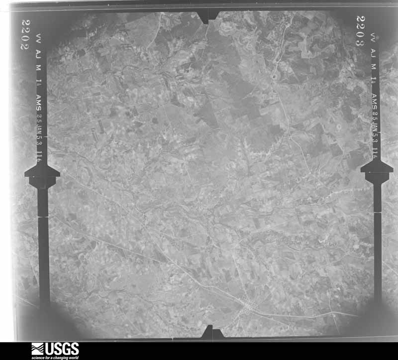
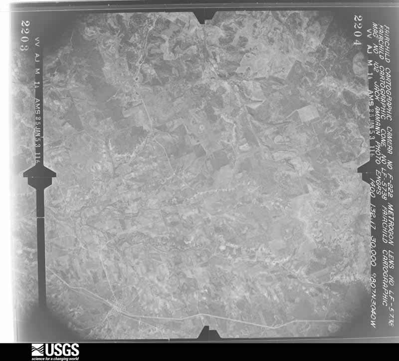
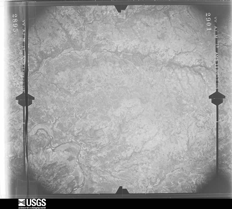
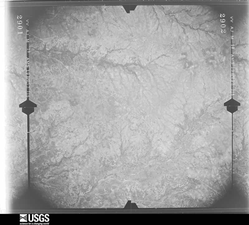
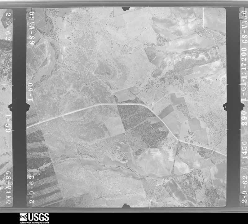
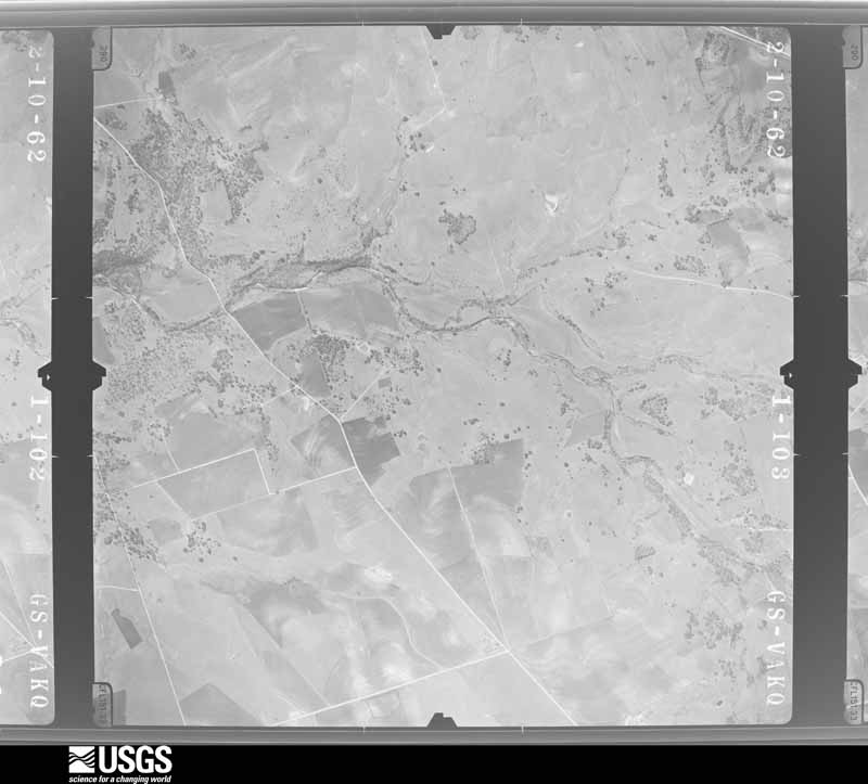
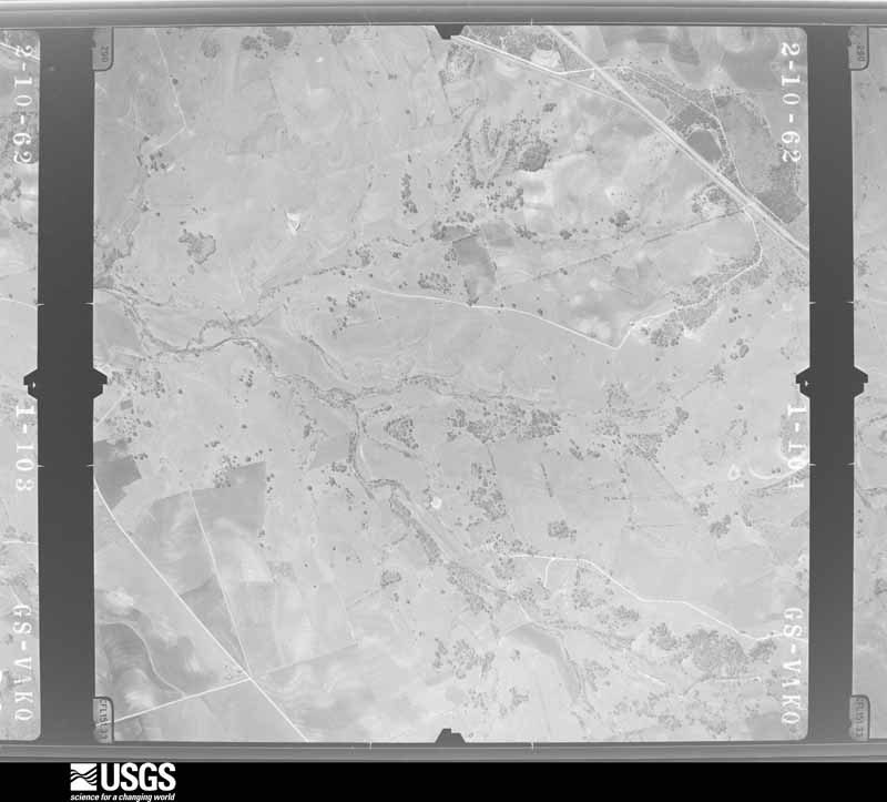
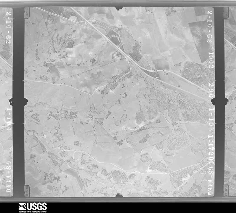
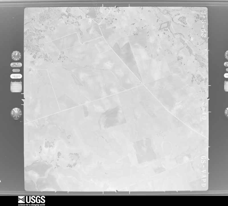
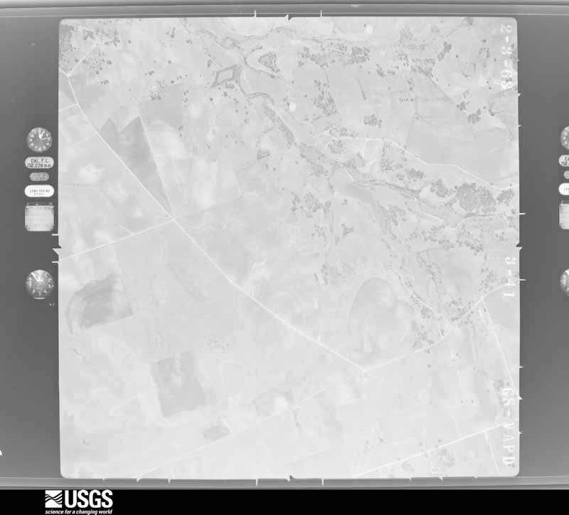
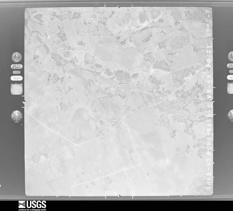
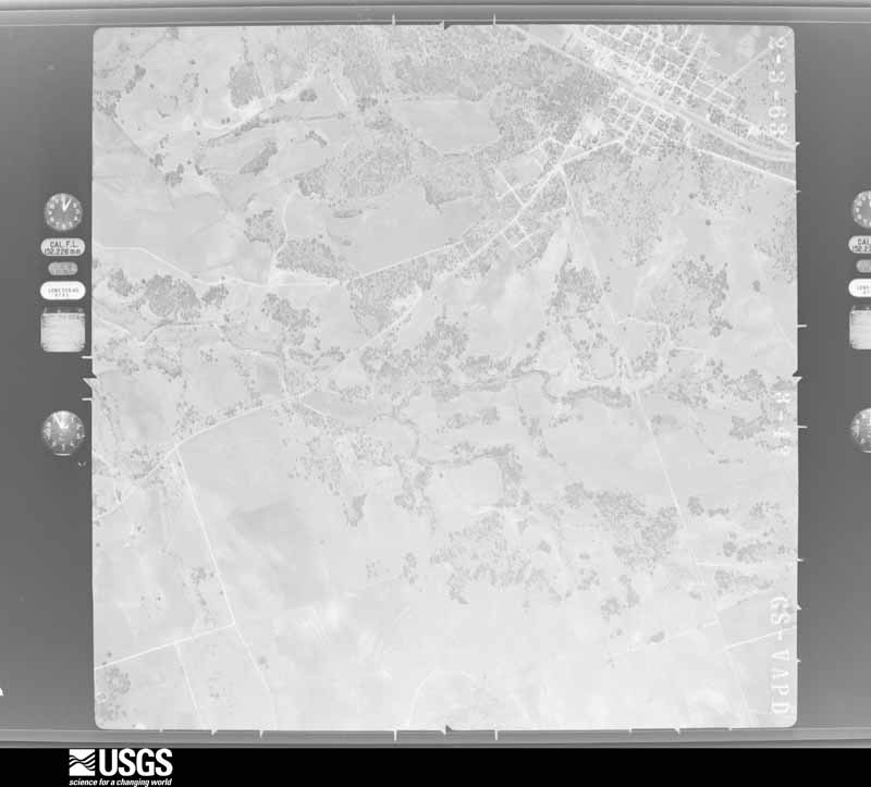
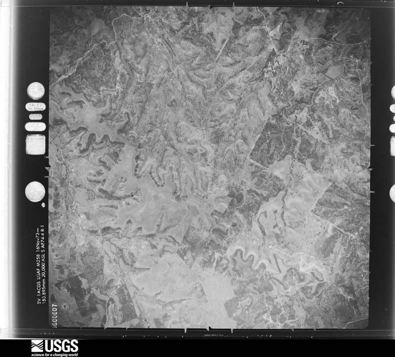
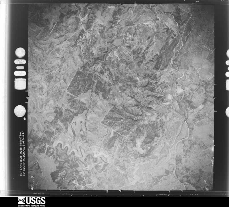
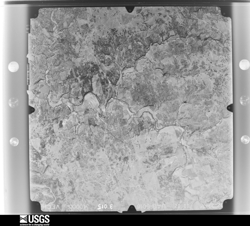
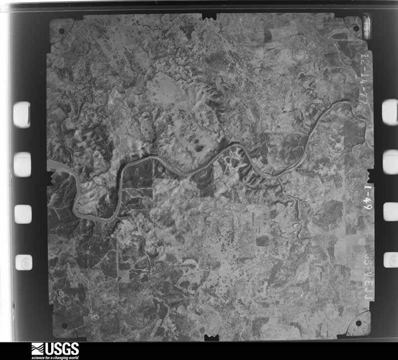
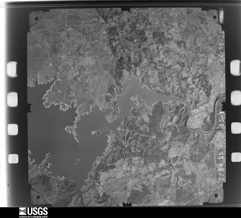
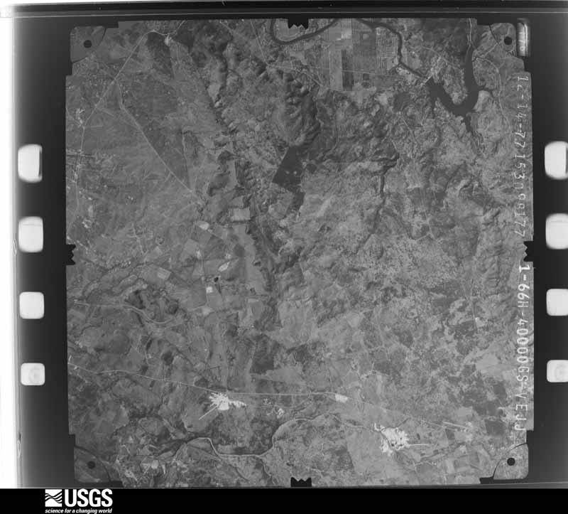
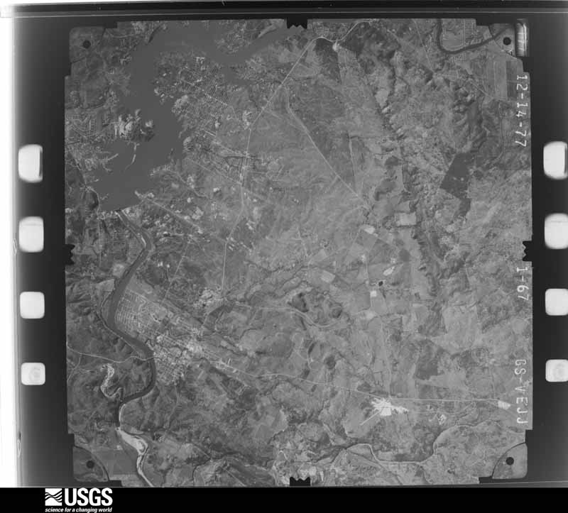
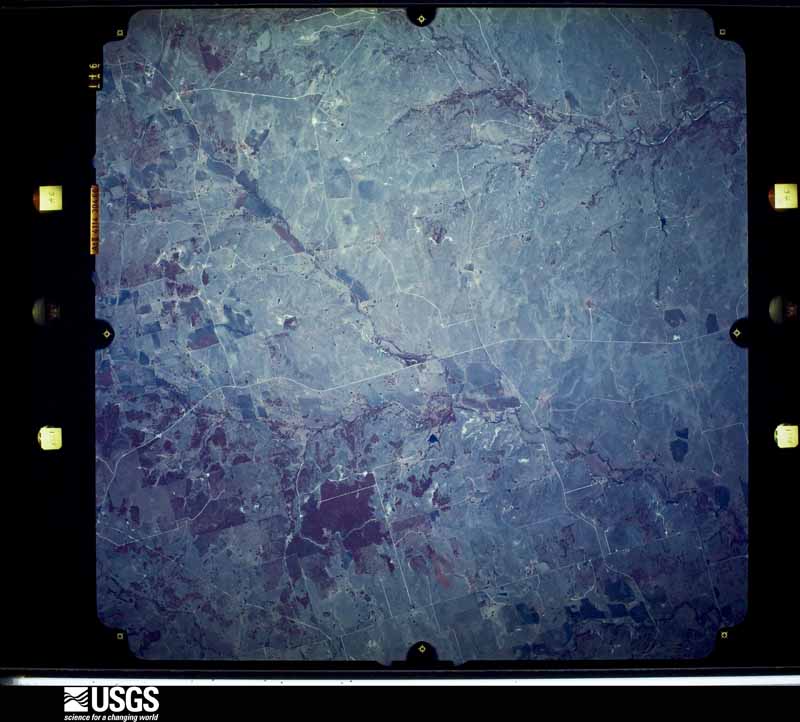
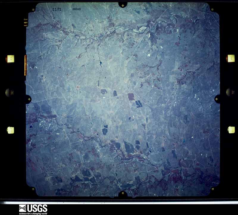
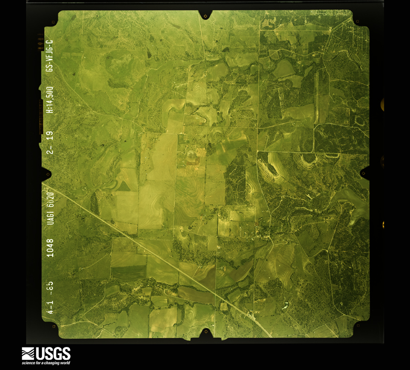
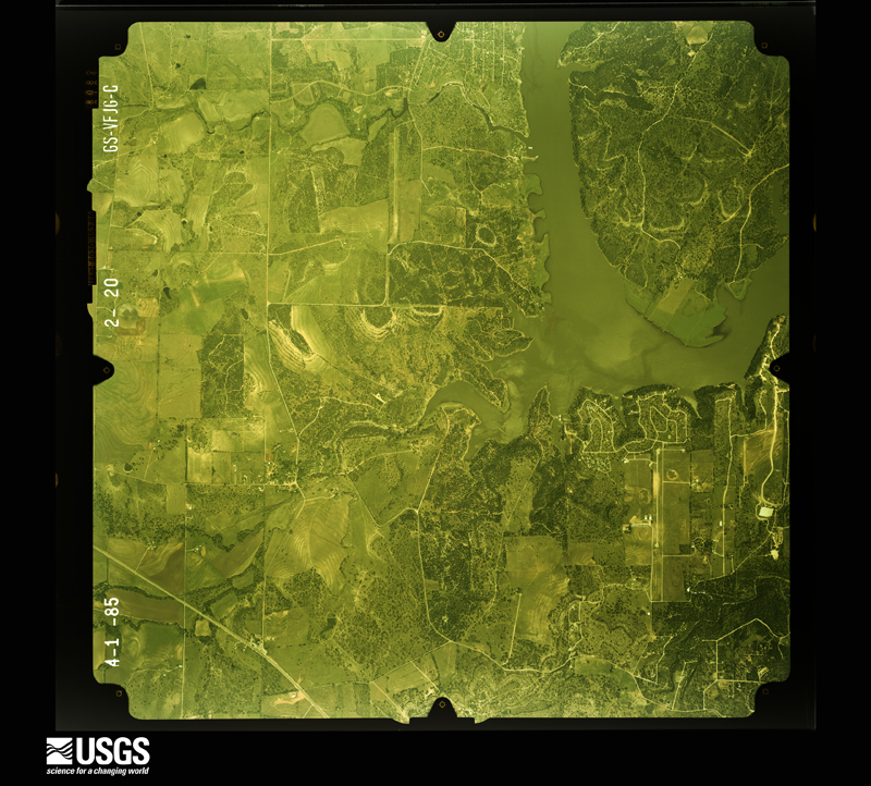
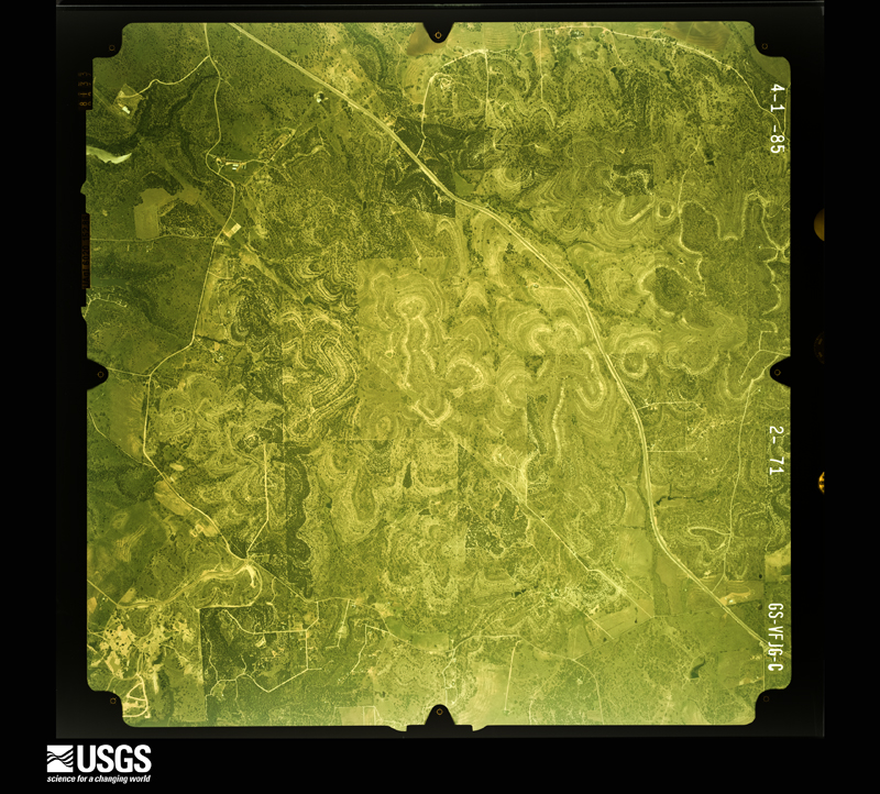
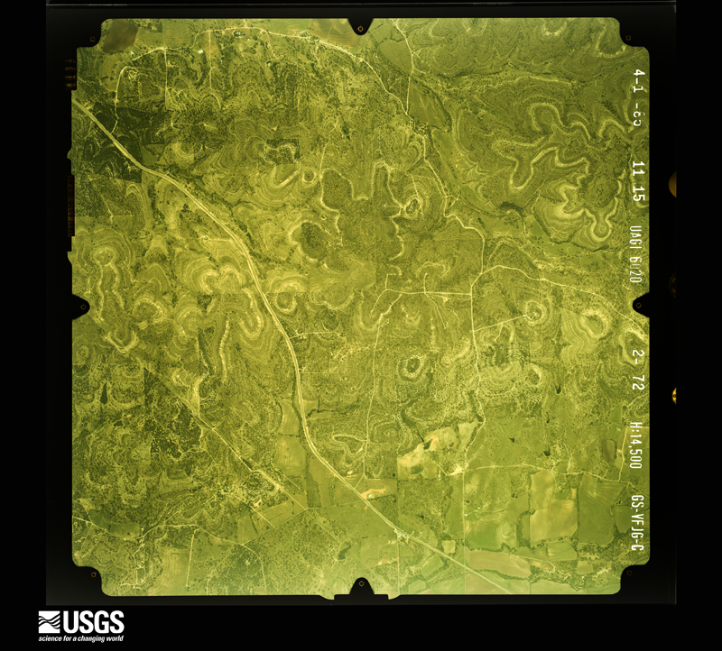
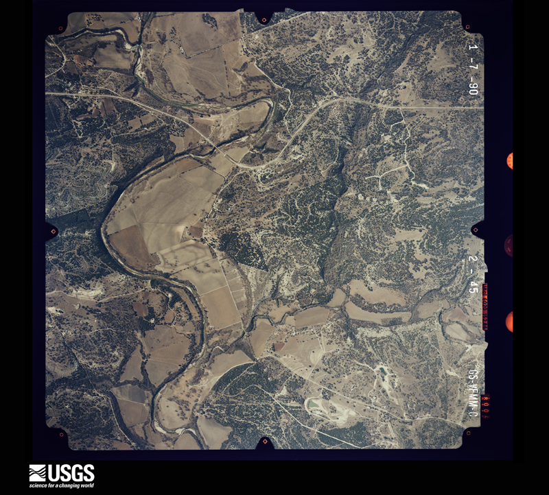
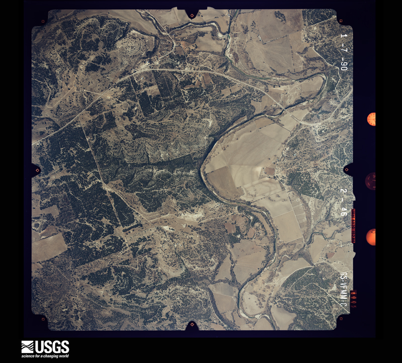
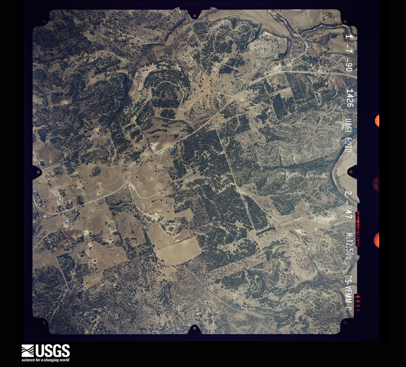
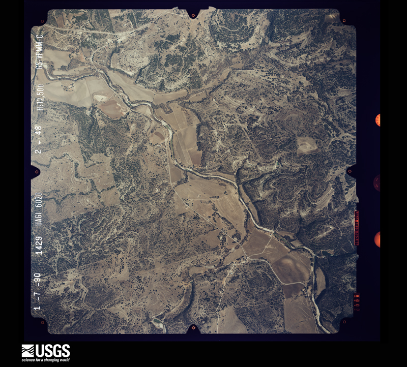
Flown by the U.S. Geological Survey between 1937 and 1989, the Aerial Photo Single Frames collection is the definitive mid-century view of the land: fields, roads and rivers as the camera saw them. The Survey holds 1,712 frames inside the rectangle that bounds this county; the 45 frames below were taken over the county itself, chosen across the decades of flights (at most four a year from that rectangle), so one flight cannot crowd out the rest. The full set is free to browse and download at EarthExplorer under the dataset Aerial Photo Single Frames.
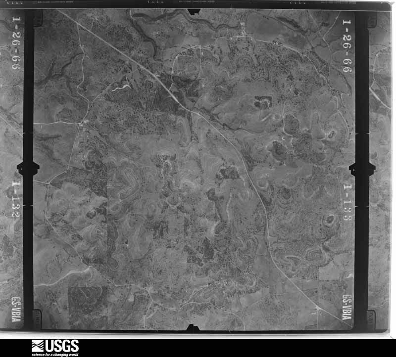
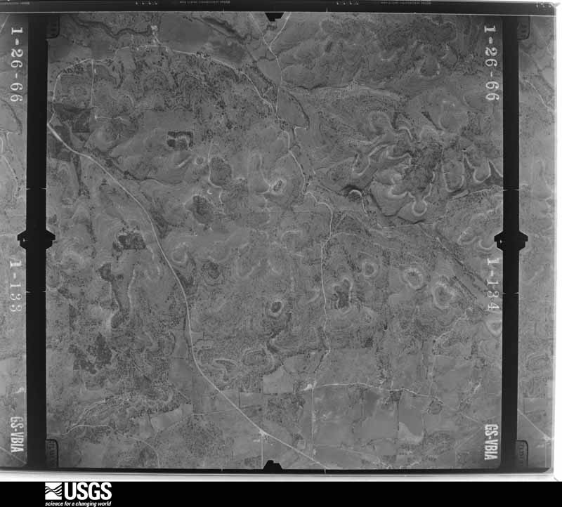
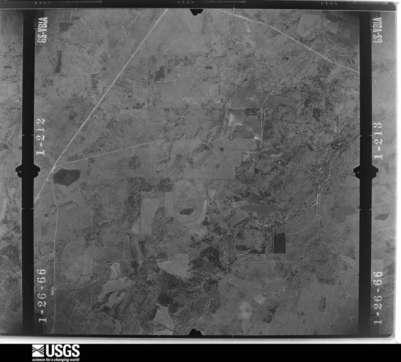
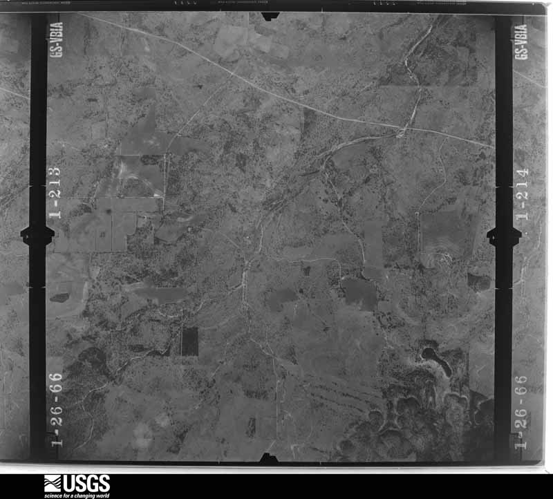
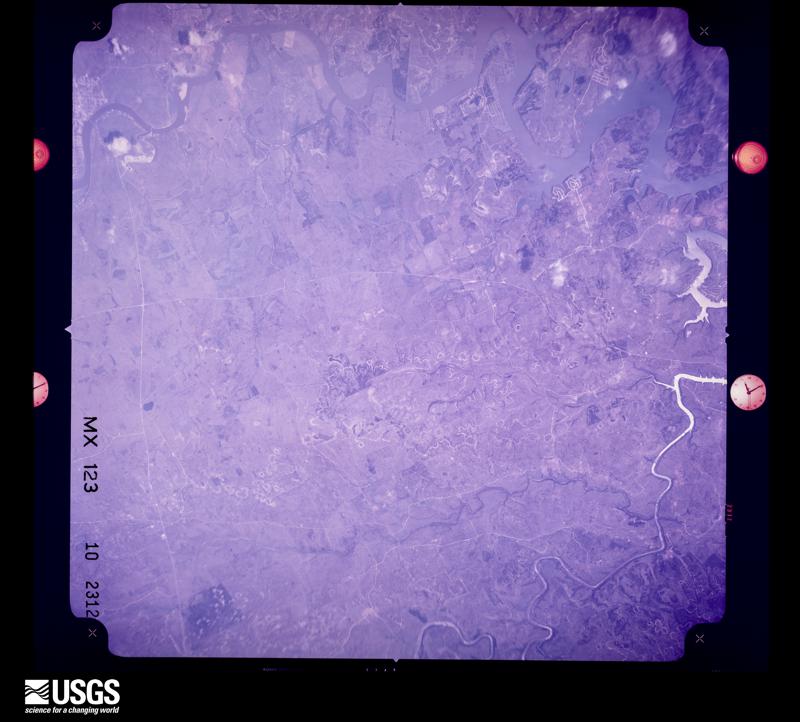



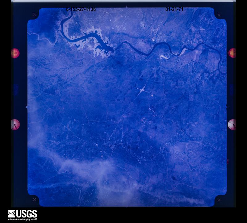



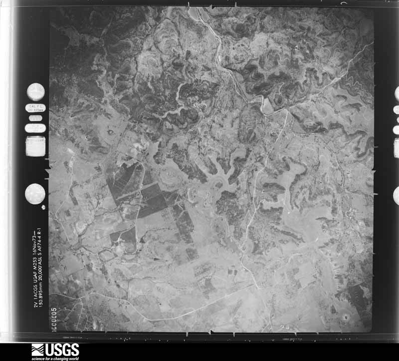
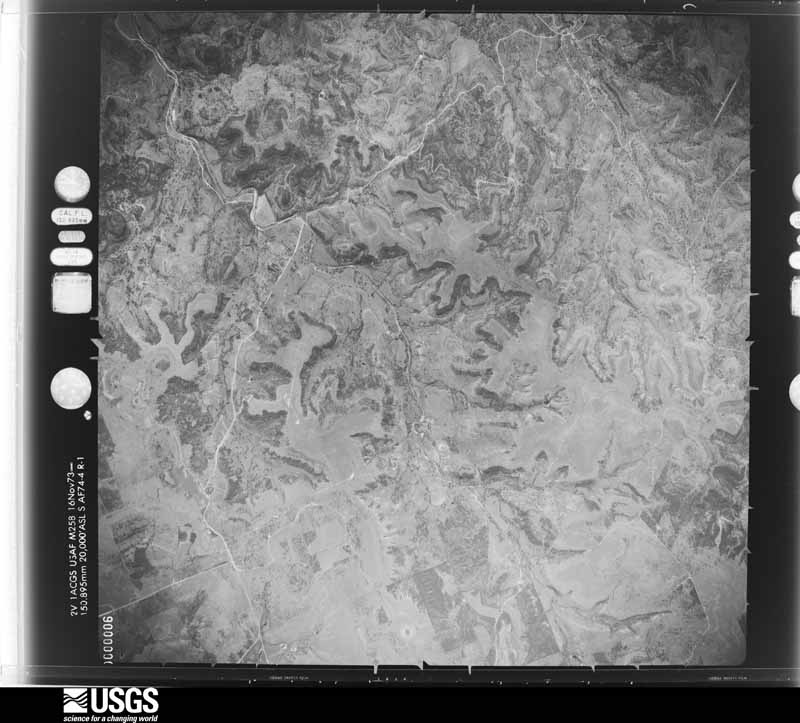


The thermometers that kept this county's weather, and the gages that measured the flow of its streams, as the federal records hold them. The extremes below are measured values from those records, not estimates.
Who lived here in 1950, one enumeration district at a time, as the Census Bureau described each district. Each row opens its official National Archives result, with Population Schedules and ED Maps available there.
Every wildfire the federal occurrence database records inside this county: 976 of them, burning about 16,486 acres. 33 started naturally and 33 were recorded as arson. Each settlement page carries the fires within five miles of it.
| Reported cause | Fires |
|---|---|
| Debris and open burning | 539 |
| Missing data/not specified/undetermined | 203 |
| Equipment and vehicle use | 91 |
| Arson/incendiarism | 33 |
| Natural | 33 |
| Smoking | 25 |
| Recreation and ceremony | 21 |
| Power generation/transmission/distribution | 19 |
| Railroad operations and maintenance | 6 |
| Other causes | 4 |
| Misuse of fire by a minor | 2 |
The five largest, by the area the report gives. None of them was recorded as arson.
| Date | Cause | Size | Reported by | Name on the report |
|---|---|---|---|---|
| 28 January 2008 | Debris and open burning | 2,106 acres | Texas A & M Forest Service | CR 208 |
| 29 January 2008 | Debris and open burning | 1,480 acres | Texas A & M Forest Service | BERTRAM |
| 22 July 2018 | Missing data/not specified/undetermined | 800 acres | Texas A & M Forest Service | 18368 |
| 24 July 2018 | Missing data/not specified/undetermined | 737 acres | Balcones Canyon National Wildlife Refuge | CR 108 |
| 6 August 2015 | Smoking | 600 acres | Texas A & M Forest Service | BUCHANAN DAM (15-0080) |
| 29 July 2018 | Missing data/not specified/undetermined | 557 acres | Inks Dam National Fish Hatchery | PARK ROAD |
| 8 August 2011 | Equipment and vehicle use | 470 acres | Texas A & M Forest Service | BURNET COUNTY COMPLEX |
| 14 August 2011 | Equipment and vehicle use | 430 acres | Texas A & M Forest Service | HERBERT FIRE |
Every settlement page carries the fires within five miles of it - see the settlement index below.
The NOAA Storm Events Database holds 502 reports for this county, causing 8 deaths, 48 injuries and about $202,801,530 in recorded property damage. Each settlement page carries the reports that name it.
| Kind of event | Reports |
|---|---|
| Hail | 252 |
| Thunderstorm Wind | 119 |
| Flash Flood | 91 |
| Tornado | 34 |
| Flood | 3 |
| Funnel Cloud | 3 |
The most serious of them, by death, then injury, then recorded damage. The accounts are quoted exactly as the forecast office filed them.
| When | Event | Place named | Harm | What the report says |
|---|---|---|---|---|
| June 2007 | Flash Flood | Marble Falls | 2 killed, $137,000,000 | Two lines of thunderstorms, one moving south from the Dallas area and one moving southeast from the Abilene area, intersected and stalled near Marble Falls, producing a sustained heavy rainfall over Burnet County from just before midnight into the early and mid morning hours. General rainfall over the southern half of Burnet County was between 10 and 15 inches with the highest rain totals in the Marble Falls area, where up to 19 inches fell. The hardest hit area was Marble Falls, where more than 315 homes and businesses were damaged or destroyed. The worst of the damage occurred along Whitman Branch Creek. This included businesses and even a day care facility. Personnel from Texas Military Forces were mobilized and sent into Marble Falls to help with rescues and evacuations. The military personnel, along with swift water rescue and other first responders, completed 32 high water rescues and evacuated hundreds of residents. Shelters were set up at the Marble Falls Middle School. At least eight bridges in Burnet County were destroyed with some amount of damage to nearly every road and structure in the southern half of the county. Most roads remained closed all day, but a few were re-opened in the late afternoon. Cars and vans were strewn all up and down US281 in the Marble Falls area. Nearly all parks and lakes were closed. Businesses in Marble Falls were also closed. Drinking water in Marble Falls was contaminated by the flood and over 1000 residents were without water for at least a week. Total estimates of the damages were placed at $130,000,000. One swift water rescue team member was forced to save himself when his vehicle was washed off SH71 near Double Horn Creek. He was able to get to dry land after a prolonged struggle. A couple in Marble Falls awoke to find their home flooded and with the water rising rapidly. They scrambled to the highest point in the one-story house as the water continued to rise. Finally, they had to use a shotgun to blast holes in the ceiling so they could break through to climb up on the roof. They waited with their two dogs on the roof in the dark for 2 hours, then were able to climb down and take shelter in a barn as the water receded slightly. They waited for an additional 12 hours until they were finally rescued by boat. Two young men were attempting to drive from a home in Marble Falls to Leander via FM 1431 sometime in the early morning hours of June 27 when their jeep was swept into high water east of Marble Falls. The vehicle was located a few days later in a creek about 10 miles east of Marble Falls. The body of one of the young men was recovered several days later but the remains of the other young man have not been found. |
| July 2025 | Flash Flood | Burnet | 2 killed, $6,000,000 | Slow-moving thunderstorms brought heavy rain for several hours to Burnet on the morning of July 5. Burnet Municipal Airport reported 8.67 inches of rain. An LCRA gauge in Burnet reported 11.67 inches. The torrential rainfall caused the rapid rise of Hamilton Creek. Additional inundation also occurred along Daugherty Branch and Haynie Branch in Burnet. Homes, businesses, and other buildings along Hamilton Creek experienced up to 7 ft of inundation. Oak St. in the northwestern part of the city was especially hard hit by the swollen Hamilton Creek. Around a dozen homes along the road were damaged, primarily near 7th and 8th Street. One house was torn off its foundation and was carried by floodwaters onto the opposite side of the street. Several businesses were flooded along South Water St. A 57 year old man was swept by floodwaters while commuting through Burnet along US 281. His body was recovered about a quarter mile away from his vehicle along Hamilton Creek. Most of the units at the Hamilton Creek Manor housing complex were impacted by floodwaters. Fields at YMCA of the Highland Lakes on the south side of Burnet were damaged by flooding with fences washed out and dugouts damaged. Pafford Place Assisted Living was heavily damaged. An 85 year old man at the facility drowned in the flooding. Seven others were successfully evacuated from Pafford Place. Parts of Burnet Municipal Airport experienced 5 to 7 ft of inundation, resulting in damage to PAPI lighting and the runway. Several homes were inundated along Delaware Creek to the west and southwest of Burnet with washouts on roads. Across the county first responders rescued at least 63 people. The county Emergency Manager estimated more than 400 homes were affected and the damages were at least $6 million. |
| July 2025 | Flash Flood | Smithwick | 1 killed | Slow-moving thunderstorms produced 8-10 inches of rain over the headwaters of Cow Creek. Washouts occurred along CR 328/Cow Creek Rd. both along and over Cow Creek at multiple locations. A 66-year-old firefighter and his emergency vehicle were swept away while responding to flooding along Cow Creek near FM 1174. His vehicle was found 2 miles downstream mangled and entrenched within flood debris and sediment, but his body had not been recovered as of the time of this writing. |
| July 2025 | Flash Flood | Sudduth | 1 killed | Slow-moving thunderstorms brought heavy rain for several hours to Burnet on the morning of July 5. Burnet Municipal Airport reported 8.67 inches of rain. An LCRA gauge in Burnet reported 11.67 inches. The torrential rainfall caused the rapid rise of Hamilton Creek. A 22 year old man commuting through Burnet was swept off the road at Park Road 4 and US 281 into Honey Creek, a tributary of Hamilton Creek. His body was recovered 8 miles downstream. |
| July 2025 | Flash Flood | Marble Falls | 1 killed | Heavy rain from slow-moving thunderstorms fell into the Hamilton Creek watershed contributing to a rapid rise of the creek that moved downstream near Marble Falls into the Colorado River. While only 1 to 2 inches of rain fell over Marble Falls, a swath of over 10 inches of rain occurred within the watershed upstream. An LCRA stream gauge on Hamilton Creek near Marble Falls measured a rise of 18.65 ft in about 90 minutes with 49,970 cfs before the gauge stopped reporting data. Widespread inundation and downing of trees occurred along the Hamilton Creek, with the extent of inundation at times nearly 1/3 mile across near FM 1431. The CR 341 crossing along Hamilton Creek was completely washed out on both approaches, leaving only a significantly damaged central concrete segment. The south approach to the CR 340/Mormon Hill Rd crossing was scoured out by floodwaters. Several homes were flooded along Hamilton Creek Rd. farther downstream of the CR 341 crossing. The Cedar Stays RV Park, located along the creek near FM 1431, saw major impacts. About 50 RVs were parked there overnight. All RVs were impacted by flooding and most were total losses. RVs closest to the creek experienced nearly 10 ft of inundation. RVs and other vehicles were swept into trees and the surrounding vegetation. Residents awoke to water entering their vehicles and climbed atop their RVs and the roof of the RV park office to avoid floodwaters and be rescued. Helicopters and boats were dispatched to aid water rescues. A 79-year-old male resident of the park died in the flooding. Hamilton Creek floodwaters overtopped the FM 1431 bridge, damaging the guardrail and washing out part of the crossing. |
| October 2009 | Flash Flood | Burnet Craddock Arpt | 1 killed | A woman was killed while trying to cross a low water crossing. Karen Eichelberger, age 47, was driving home after working in Austin this Wednesday night. She tried to cross the flooded low water crossing on Deer Springs Drive in her neighborhood when her 1994 Jeep was apparently forced off the road and into the creek. Her body was found one half mile downstream from where the Jeep was located. |
| March 1973 | Tornado (F3) | not stated | 40 hurt | no account filed |
| June 2009 | Thunderstorm Wind | Burnet Craddock Arpt | 5 hurt, $5,000,000 | A peak wind of 58 kts was measured by the Burnet Airport ASOS. A NWS storm damage survey found several planes broken loose from their ties at the airport and either flipped over or skidded along the tarmac several hundred yards. Across the street from the airport one camper trailer was destroyed and several others were damaged. Several people sustained minor injuries. Across the rest of the town of Burnet, several trees were uprooted, large limbs were blown down, and a few businesses had roof damage. Across portions of the city, winds were estimated at 60 to 70 mph. |
| May 1994 | Tornado (F3) | Marble Falls | 1 hurt, $5,000,000 | The storm approached the city from the west-southwest. There were unconfirmed reports of funnels in the Horseshoe Bay area, four miles southwest of Marble Falls, before the storm arrived. Spotty damage was reported to roofs in the Horseshoe Bay area. The tornado first struck the west side of the city, crossing a heavy commercialized and residential area. Roofs were severely damaged at this time with several structures sustaining F1 and F2 damage. Several boats at a dealership were tossed on top of each other. Two-by-four's were embedded into the side of a church preschool care center, penetrating an inside classroom wall by four to five feet. Fortunately, all children had been moved into hallways just before the tornado arrived. Numerous commerical signs were down with widespread roof damage. This damage became even more extensive as the tornado moved across the northern part of the city. Marble Falls primary school also sustained damage, but students had been evacuated to the main school. Trees were uprooted on the school grounds and damage was reported to outbuildings. Metal I-beams were bent at a nearby metal building, indicating F2 to F3 damage. Three nearby semi-tractor trailer delivery trucks and a bread delivery truck were overturned. Two of these trucks were reported to have been lifted "two to three feet off of the ground" as they were overturned. At a nearby Wal-Mart department store 100 to 200 employees had taken shelter, having practiced their severe weather drill the day before. The store was hit and severely damaged, with the employees sustaining only a few minor injuries. Additional roof damage was reported at Marble Falls High School. Students had just executed a tornado drill as the storm struck. There was extensive peeling of metal from the auditorium and gymnasium roofs. In summary, over 440 homes sustained damage, with one house and 17 mobile homes destroyed and major damage to 36 homes. Eighteen businesses reported major damage with 47 others reporting minor damage. In addition, two bridges were damaged, along with severe damage to schools. In all, 512 structures sustained damage. |
| September 1967 | Tornado (F1) | not stated | 1 hurt, $250,000 | no account filed |
| May 2025 | Tornado (EF1) | Oakalla | 1 hurt, $100,000 | A National Weather Service survey team, with additional help from spotter video footage, concluded a tornado occurred in far northeast Burnet County. The|tornado formed just west of CR 223, about 1/10 of a mile from the Burnet/Lampasas County line. The tornado continued south along CR 223 and the Lampasas River for a short distance, then turned to the southwest crossing Panther Creek Rd. Shortly after|it turned southeast following along and just east of CR 223. The tornado is estimated to have dissipated just east of Taylor Ln. Along the tornado path significant damage was observed, including trunks of trees snapped and damage to homes and outbuildings. Based on damage the peak wind of the tornado was estimated to be 110 mph (EF-1) around Panther Creek Rd. to the 4000-5000 block of CR 223. A home along Panther Creek Rd. had the garage destroyed and a significant portion of the roof removed. A multipurpose garage/outbuilding on top of a hill had the west side of its cinder block walls collapse inward along with a metal framed roof collapsed down. At least six structures along the path of the tornado were significantly damaged. In each of these cases high winds impacted these building at their weakest points, contributing to the degree of damage. There is evidence the tornado, at times, had an erratic forward motion based on radar data and ground survey. One minor injury was reported to the driver of a delivery truck that was flipped on its side. |
| October 2018 | Flood | Marble Falls Arpt | $30,000,000 | Heavy rain mainly west of Burnet County and lakes LBJ and Marble Falls, caused rapid rises on the Colorado River. Several hundred thousand CFS of flood water entered Lake LBJ near Kingsland (where the Llano River enters the lake), with flood waters flowing down the Colorado River into Lake Marble Falls. Lake LBJ and Marble Falls rose rapidly, flooding homes and some businesses. While the lake only rose a few feet at Wirtz Dam, farther upstream on Lake LBJ near Kingsland, Granite Shoals, Highland Haven, and Cottonwood shores, rapid rises on the Lake caused many homes to flood. Lake LBJ started to rise in the predawn hours and continued high through the day. Downstream of Wirtz dam is Lake Marble Falls which saw a 15 feet rise in less than 12 hours. Evacuation notices were sent out near the Lake on the morning of Oct 16. For the above mentioned communities, estimates of damage include 17 homes destroyed, 168 with Major damage, 64 homes with Minor Damage, and 31 homes that were affected. As of this writing, early and ongoing flood insurance payouts totaled over 11 million dollars so far along with roughly 7 million spend on debris removal and 2 million dollars worth of damage to the Marble Falls water treatment plant. Additional flood repairs to homes should easily surpass an additional 10-15 million dollars when you total the several hundred homes impacted. It is estimated that total losses in Burnet County and Lakes LBJ and Marble Falls could surpass 30 million dollars. |
| April 2024 | Hail | Marble Falls | $10,000,000 | A thunderstorm produced baseball size hail in Marble Falls. |
| June 2009 | Thunderstorm Wind | Bertram | $5,000,000 | Widespread damage occurred in the town of Bertram as a large thunderstorm moved east through the town. Numerous large mature trees were uprooted in town as well as several buildings sustained roof damage. The damage survey estimates winds of 70 to 80 mph hit the town. |
| June 1997 | Flash Flood | Countywide | $1,000,000 | no account filed |
| March 1999 | Hail | Marble Falls | $700,000 | no account filed |
| May 1976 | Tornado (F1) | not stated | $250,000 | no account filed |
| May 1976 | Tornado (F1) | not stated | $250,000 | no account filed |
| May 1976 | Tornado (F1) | not stated | $250,000 | no account filed |
| June 2014 | Tornado (EF2) | Lake Victor | $200,000 | A thunderstorm produced a tornado that caused EF2 damage near Shady Grove. The tornado initially touched down north of FM 963 near Bar D Trail. It damaged a wind mill, a metal barn, and uprooted numerous trees. A single family house lost numerous Spanish style tile shingles from its roof. This damage was rated EF1. The tornado then moved to the southwest where there was EF2 damage to a house to the east of FM 1174 about 0.5 miles south of the intersection with FM 963. This house was moved off of its foundation about 100 yards to the south-southwest. Five people in the house sheltered in the bathroom and had only minor cuts and scrapes. The tornado then caused tree damage on the west side of FM 1174 before lifting. Maximum winds were estimated at 125 mph. |
| September 2006 | Thunderstorm Wind | Marble Falls | $200,000 | Severe thunderstorms struck the area between Marble Falls and Spicewood, knocking over trees, phone lines, and power lines. The winds, estimated near 65 knots, also damaged roofs in both Marble Falls and in Spicewood. |
| October 2001 | Thunderstorm Wind | Burnet | $150,000 | Severe thunderstorm winds blew the roofs off homes around Burnet. |
| March 2021 | Thunderstorm Wind | Bertram | $100,000 | A National Weather Service damage survey of the Bertram area found wind damage was caused by strong microburst winds. In particular, building damage in Bertram occurred along Hwy 29 between FM 243 and North East St. There was roof damage at several businesses as well as roof and wall failures of 2 buildings near the Highway 29|and North Grange St. intersection. Debris was blown generally west to east with |estimated winds at 75 mph. The damage was highly concentrated in this area of Bertram with no direct evidence of a tornado. Flying debris caused additional damage including broken windows at the Bertram library. As the severe thunderstorm moved|east along Highway 29, additional roof damage was observed near Reed Circle. |
| June 2002 | Thunderstorm Wind | Burnet | $100,000 | Roofs were torn off homes by severe thunderstorm winds estimated at 50 to 60 knots. |
| May 2001 | Thunderstorm Wind | Burnet | $100,000 | Trees were split and knocked over into homes by severe thunderstorm winds. An aircraft was flipped onto its top at the Burnet airport by the winds. |
| March 2000 | Thunderstorm Wind | Burnet | $100,000 | Severe thunderstorm winds destroyed several roofs and collapsed a metal building in Burnet. |
| November 2000 | Tornado (F0) | Burnet | $80,000 | A small and short-lived tornado was observed by the public as it touched down near Burnet. It damaged two homes and some barns and around a dozen trees before lifting and dissipating. |
| July 2000 | Thunderstorm Wind | Buchanan Lake | $80,000 | no account filed |
| October 2006 | Thunderstorm Wind | Burnet | $50,000 | Thunderstorms produced a wind gust measured at 54 knots as they struck the Burnet Municipal Airport. Moving northeastward near 25 mph, they produced winds estimated as high as 60 knots, blowing down trees and power lines in the city of Burnet, and tearing the roof off a barn. Sporadic wind damage persisted as the storms continued to knock over trees and power lines between Burnet and Briggs. |
| April 1997 | Thunderstorm Wind | Granite Mtn | $50,000 | Roof damage reported to several locations due to severe winds. |
| September 1993 | Thunderstorm Wind | Granite Shoals | $50,000 | The Marble Falls Police Department reported power lines down near Granite Shoals. |
| November 2001 | Flash Flood | Countywide | $50,000 | no account filed |
| April 1998 | Thunderstorm Wind | Buchanan Lake | $40,000 | no account filed |
| September 2002 | Flash Flood | Countywide | $30,000 | General 2 inch rainfall with isolated totals to 5 inches. Damage was reported again on Sept. 8 to area roads and bridges. |
| June 1997 | Flash Flood | Countywide | $30,000 | no account filed |
| June 2021 | Thunderstorm Wind | Marble Falls | $25,000 | There was widespread wind damage to mainly trees reported in southern Burnet County. An NWS damage survey concluded that a large swath of severe thunderstorm microburst winds moved south to southwest across the area from Lake Marble Falls to across East FM 2147 at around 9:50 PM CST. Roof damage to a barn was also reported. Large oak trees were blown down as well as other large limbs broken off numerous trees. Radar was showing winds in excess of 70 mph in that area, and based on the damage seen at ground level it appears that surface winds estimated at 75 mph likely occurred. Its plausible that a small tornado could have occurred in this area amongst the large microburst wind area, but a definite tornado path could not be found. |
| September 1992 | Tornado (F1) | not stated | $25,000 | no account filed |
| May 1969 | Tornado (F3) | not stated | $25,000 | no account filed |
| September 2011 | Thunderstorm Wind | Buchanan Lake | $20,000 | A thunderstorm produced wind gusts estimated at 58 mph which blew the roof off a barn near County Road 215 outside of Burnet. |
| September 2002 | Flash Flood | Countywide | $20,000 | General 2 inch rainfall with isolated totals to 4 inches. Minor damage to roads and bridges. |
| May 2000 | Thunderstorm Wind | Marble Falls | $20,000 | Severe thunderstorm winds knocked over trees. |
| May 1995 | Thunderstorm Wind | Burnet | $20,000 | Trees were uprooted and roofs were damaged between Burnet and Bertram. |
| May 1995 | Thunderstorm Wind | Burnet | $20,000 | Tree and roof damage was indicated. |
| April 2001 | Flash Flood | East Portion | $20,000 | no account filed |
| May 1999 | Thunderstorm Wind | Granite Mtn | $20,000 | no account filed |
| February 1998 | Thunderstorm Wind | Buchanan Lake | $20,000 | no account filed |
| February 1998 | Thunderstorm Wind | Buchanan Lake | $20,000 | no account filed |
| December 1997 | Flash Flood | Countywide | $20,000 | no account filed |
| November 1996 | Thunderstorm Wind | Marble Falls | $20,000 | no account filed |
| April 1998 | Thunderstorm Wind | Buchanan Lake | $15,000 | no account filed |
| March 1998 | Flash Flood | Countywide | $15,000 | no account filed |
| August 2024 | Thunderstorm Wind | Lake Victor | $10,000 | A thunderstorm produced wind gusts estimated at 70 mph that blew a travel trailer into a house north of Bertram. |
| October 2022 | Thunderstorm Wind | Fariland | $10,000 | A thunderstorm produced wind gusts estimated at 60 mph that broke some three inch diameter tree limbs near Granite Shoals. |
| April 2020 | Tornado (EF1) | Marble Falls Arpt | $10,000 | A small tornado touched down near Round Mountain in northern Blanco County. It first appeared to touch down near RR 962 then moved northeast by Coyote Trail before impacting two RV parks on Hwy 281 and Hof Brau. Estimates from Blanco County Emergency Management show that a total of approximately 60 residences were impacted with at least 11 being completely destroyed and eight more sustaining major damage. There were two minor injuries. The tornado continued moving northeast and crossed the Blanco/Burnet County line near Creek Ln. and then dissipated in southern Burnet County near CR 401 S. The damage and injuries occurred in Blanco County. |
| May 2018 | Thunderstorm Wind | Bertram | $10,000 | A thunderstorm produced wind gusts estimated at 65 mph that damaged some barns near Bertram. |
| June 2017 | Thunderstorm Wind | Granite Mtn | $10,000 | A thunderstorm produced wind gusts estimated at 75 mph that blew down some trees with trunks from 12-14 inches diameter along 2nd St. between Industrial Blvd. and Ave. N. in Marble Falls. |
| October 2009 | Hail | Burnet Craddock Arpt | $10,000 | Burnet law enforcement reported pea to golfball size hail, along with some trees down across the city. |
| May 2008 | Tornado (EF0) | Burnet | $10,000 | Storm survey revealed a small tornado crossed a wooded area and partially struck a mobile home on Overlook Trail. There was light damage to a parked vehicle in front of the home. A small porch was damaged and lumber was thrown into the front window. A large two by four was found stuck into a pop up travel camper next to the mobile home. Numerous trees were damaged. |
| June 2002 | Flash Flood | South Portion | $10,000 | General 1 to 2 inch rainfall totals with isolated amounts of up to 4 inches. |
| June 1995 | Tornado (F1) | Burnet | $10,000 | Small tornado touched down briefly, causing minor building damage. |
The Survey's mineral resources record lists 72 workings inside this county. 35 still produce and 37 are closed or unrecorded. Each settlement page carries the workings within five miles of it.
| Commodity | Workings |
|---|---|
| Stone, Crushed/Broken | 24 |
| Graphite | 6 |
| Stone, Dimension | 5 |
| REE | 4 |
| Lead | 4 |
| Feldspar | 3 |
| Copper | 3 |
| Fluorine-Fluorite | 3 |
| Vermiculite | 2 |
| Sand and Gravel, Construction | 2 |
| Granite | 2 |
| Dolomite | 1 |
| Limestone, High Calcium | 1 |
| Zinc, Fluorine-Fluorite, Silver, Gold, Molybdenum | 1 |
The least common of them first, because a county's hundredth gravel pit says nothing its first ten did not.
| Where | Site | Commodity | Status | Recorded |
|---|---|---|---|---|
| Bailey Prospect | Copper, Silver, Gold, Fluorine-Fluorite | Occurrence | ||
| Calcium Carbonate Company Pit | Calcium | Prospect | ||
| Dow Quarry | Dolomite | Producer | Sedimentary | |
| Frank Thomas Farm | Zinc, Silver, Molybdenum, Gold, Iron, Lead | Occurrence | ||
| Granite Mountain | Bromine | Producer | ||
| Iron Prospect | Iron | Occurrence | Magnetite | |
| Limestone Quarry | Limestone, General | Producer | Limestone | |
| Limestone Quarry | Limestone, General, Stone, Crushed/Broken | Producer | ||
| Michel Mine | Limestone, High Calcium | Producer | Limestone | |
| Milwhite Quarry | Silica | Past Producer | Tripoli | |
| Pavitte Prospect | Copper, Silver, Gold | Occurrence | ||
| Phosphate Occurrence | Phosphorus-Phosphates | Occurrence | ||
| Silver Creek Mine | Lead, Zinc | Past Producer | 1890 | |
| Spring Creek Prospect | Zinc, Fluorine-Fluorite, Silver, Gold, Molybdenum | Occurrence | Fluorite, Galena, Molybdenite, Pyrite, Sphalerite | |
| White Eagle Prospect | Copper, Silver, Fluorine-Fluorite | Past Producer | Vein | |
| Capitol Marble and Granite Tx Pink | Granite | Producer | ||
| Collier Bros Sand and Gravel Pit | Sand and Gravel, Construction | Producer | ||
| Friedsom | Vermiculite | Unknown | ||
| Reed Prospect | Vermiculite | Occurrence | Residual | |
| Road Material Pits | Sand and Gravel, Construction | Producer | ||
| Texas Granite Corp Pearl Gray Qy | Granite | Producer | ||
| Clear Creek | Feldspar | Unknown | ||
| Clear Creek Prospect | Feldspar, REE | Occurrence | Feldspar | |
| Disintegrated Feldspar | Feldspar | Unknown | ||
| Fluorite Prospect | Fluorine-Fluorite | Occurrence | Fluorite | |
| Fluorite Prospect | Fluorine-Fluorite | Occurrence | Fluorite | |
| Gibbs | Fluorine-Fluorite | Past Producer | ||
| Sheridan Prospect | Copper | Occurrence | ||
| Sheridan Prospect | Copper | Occurrence | ||
| White Eagle | Copper | Unknown | ||
| Beaver Creek Location | Lead | Occurrence | ||
| Beaver Creek Prospect | Lead | Occurrence | 1890 | |
| Dorbant Prospect | REE | Occurrence | ||
| Dorbrant | REE | Unknown | ||
| Rare-Earth Mine | REE | Past Producer | Gadolinite | |
| Silver Creek Mine | Lead | Occurrence | ||
| Slaughter Gap Area | Lead | Occurrence | ||
| Colaska Quarry | Stone, Dimension | Producer | Granite | |
| Pearl Gray Quarry | Stone, Dimension | Producer | Granite | |
| Sunset Beige Quarry | Stone, Dimension | Producer | Granite | |
| Sunset Red Quarry | Stone, Dimension | Producer | Granite | |
| Texas Pink Quarry | Stone, Dimension | Producer | Granite | |
| Debo | Graphite | Unknown | ||
| Garret | Graphite | Unknown | ||
| Graphite Prospect | Graphite | Occurrence | Graphite | |
| Southwestern Graphite Mine | Graphite | Past Producer | Graphite | |
| Southwestern Graphite Mine | Graphite | Past Producer | 1913 | |
| Watson | Graphite | Unknown | ||
| Bilbrough Marble Botticino Quarry | Stone, Crushed/Broken | Producer | ||
| Bilbrough Marble Dark Cedar Quarry | Stone, Crushed/Broken | Producer | ||
| Bilbrough Marble Florence Creme Qy | Stone, Crushed/Broken | Past Producer | ||
| Bilbrough Marble Longhorn Cream Qy | Stone, Crushed/Broken | Producer | ||
| Bilbrough Marble Natural Red Qy | Stone, Crushed/Broken | Past Producer | ||
| Botticino Quarry | Stone, Crushed/Broken | Producer | Limestone | |
| Burnett Pit | Stone, Crushed/Broken | Producer | ||
| Burnett Plant | Stone, Crushed/Broken | Producer | ||
| Cactus Canyon Quarries Plant | Stone, Crushed/Broken | Producer | ||
| Calcium Carbonate Company Plant | Stone, Crushed/Broken | Producer | ||
| Delta Materials | Stone, Crushed/Broken | Producer | ||
| Dolostone Quarry | Stone, Crushed/Broken | Producer | ||
| Dow Quarry & Pit | Stone, Crushed/Broken | Producer | ||
| Granite Quarry | Stone, Crushed/Broken | Past Producer | Granite | |
| Hog Mountain Quarry | Stone, Crushed/Broken | Producer | Granite | |
| Pure Stone Limestone Quarry | Stone, Crushed/Broken | Producer | ||
| Pure Stone Quarry | Stone, Crushed/Broken | Producer | ||
| Road Material Pit | Stone, Crushed/Broken | Producer | Caliche | |
| Road Material Pit | Stone, Crushed/Broken | Producer | Caliche | |
| Road Material Pit | Stone, Crushed/Broken | Producer | Caliche | |
| Stone Quarry | Stone, Crushed/Broken | Producer | Sedimentary | |
| Sunset Beige Quarry | Stone, Crushed/Broken | Producer | ||
| Sunset Red Quarry | Stone, Crushed/Broken | Producer | ||
| Texas Construction Limestone Quarry | Stone, Crushed/Broken | Producer |
Named settlements recorded in the Geographic Names Information System, each with the topographic sheets covering it. Villages, hamlets and abandoned places alike. Each is shown with the nearest named watercourse or landform and the survey quadrangle it falls on. The 2 places that were also surveyed for fire insurance come first, with the number of atlases and photographs held for them.
Burnet census division · 78611 · On Daugherty Branch · Burnet quadrangle
15 sheets, 1887 to 1992
Fire insurance: 8 atlases
Marble Falls census division · 78654 · On Whitman Branch · Marble Falls quadrangle
19 sheets, 1887 to 1992
Fire insurance: 6 atlases
Marble Falls census division · 78657 · On Deep Creek · Marble Falls quadrangle
19 sheets, 1887 to 1992
Burnet census division · 78611 · On Delaware Creek · Mormon Mill quadrangle
17 sheets, 1887 to 1992
Marble Falls census division · 78654 · On Elm Creek · Dunman Mountain quadrangle
19 sheets, 1887 to 1992
Marble Falls census division · 78654 · On Dry Creek · Dunman Mountain quadrangle
19 sheets, 1887 to 1992
Marble Falls census division · 78654 · On Varnhagan Creek · Marble Falls quadrangle
19 sheets, 1887 to 1992
Marble Falls census division · 78654 · On Elm Creek · Marble Falls quadrangle
19 sheets, 1887 to 1992
Marble Falls census division · 78654 · Round Mountain quadrangle
14 sheets, 1887 to 1985
Marble Falls census division · 78654 · Round Mountain quadrangle
14 sheets, 1887 to 1985
Burnet census division · 78611 · By White Bluff · Lake Buchanan quadrangle
18 sheets, 1887 to 1992
Marble Falls census division · 78654 · On Hickory Creek · Smithwick quadrangle
18 sheets, 1887 to 1992
Marble Falls census division · 78669 · On Sycamore Creek · Spicewood quadrangle
16 sheets, 1887 to 1985
Marble Falls census division · 78654 · On Hairston Creek · Longhorn Cavern quadrangle
19 sheets, 1887 to 1992
Briggs census division · 78608 · On Campbells Branch · Bachelor Peak quadrangle
14 sheets, 1887 to 1992
15 topographic sheets and 8 fire insurance atlases, 1885 to 1943
19 topographic sheets and 6 fire insurance atlases, 1894 to 1935
The complete index, with nothing left out. Each of these is a separate record with its own page: a federal survey report, or the case file that argued a property on to the National Register. Both are public domain and reproduced word for word.