 Block
BlockCarrollton, Texas
27 topographic sheets cover this place, the earliest surveyed in 1891 and the latest in 1986. It stands in the Northeast Dallas census division. It lies in ZIP code area 75006. It stands on Perry Branch. The Survey maps it on the Carrollton quadrangle. 133,434 people lived here at the 2020 count. It stands 528 feet above sea level.
Population over time
3 figuresCarrollton grew from 573 to 133,434 between 1920 and 2020. These are the recorded population figures Wikidata holds for this place, reached through the Geographic Names Information System number this page is keyed on rather than by name, so they belong to this place and not to another of the same name. Most are census counts, but not all are: an early figure may be a founding or settlement estimate, and an estimate published within five years of a census is left out. The change column is computed, and is left blank where more than 20 years separate a figure from the one before it, because a gap that long is not a change between two counts.
| Year | People | Change |
|---|---|---|
| 1920 | 573 | |
| 2010 | 119,097 | |
| 2020 | 133,434 | +14,337 (+12%) |
Topographic sheets covering this place
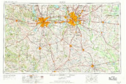
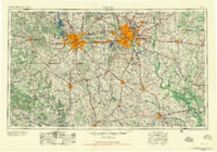
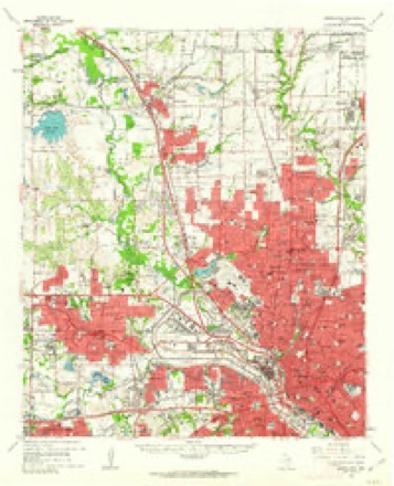
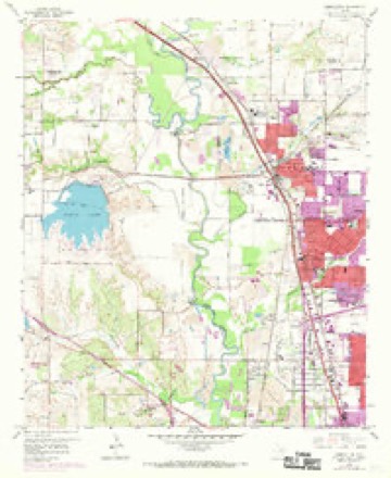
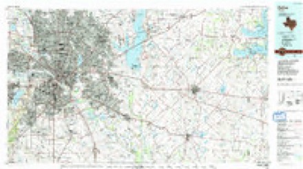
9 surveys from 27 printed sheetsMatched by testing this settlement's coordinate against the published boundary of every sheet in the United States Geological Survey's historical collection. Each opens the scanned sheet at the Survey.
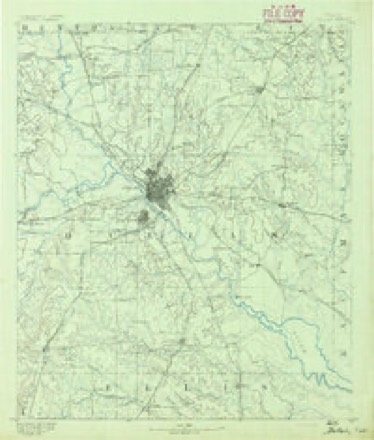
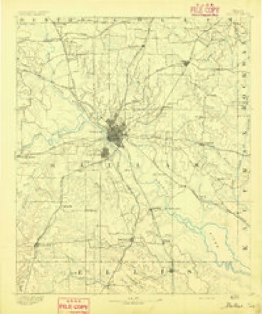
- 1891 USGS Dallas quadrangle1:125000
- 1893 USGS Dallas quadrangle1:125000, 5 printings
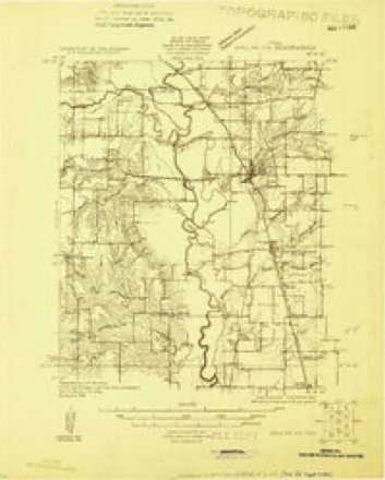
- 1925 USGS Dallas 2-b quadrangle1:48000
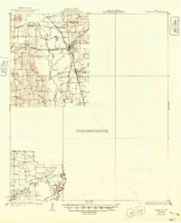
- 1931 USGS Carrollton quadrangle1:62500, 3 printings
- 1954 USGS Dallas quadrangle1:250000, 4 printings
- 1958 USGS Dallas quadrangle1:250000
- 1959 USGS Carrollton quadrangle1:62500
- 1959 USGS Carrollton quadrangle1:24000, 8 printings
- 1986 USGS Dallas quadrangle1:100000, 3 printings
Fires near this place
44 since 2005Regional context, not property-specific evidence. The federal wildfire occurrence database lists 44 fires within 5 miles of Carrollton between 2005 and 2016, burning about 15 acres in total. None started naturally. None was recorded as arson. Distance is straight-line from the map coordinates, so a fire counted here may appear on a neighbouring settlement's page as well.
| Reported cause | Fires |
|---|---|
| Missing data/not specified/undetermined | 33 |
| Equipment and vehicle use | 9 |
| Debris and open burning | 2 |
The most recent of them, most recent first, with the day each was reported and the service that recorded it.
| Date | Cause | Size | Reported by | Name on the report |
|---|---|---|---|---|
| 3 September 2015 | Equipment and vehicle use | under an acre | Texas A & M Forest Service | FOREST |
| 3 September 2015 | Equipment and vehicle use | under an acre | Texas A & M Forest Service | MONTFORD |
| 20 September 2015 | Missing data/not specified/undetermined | under an acre | Texas A & M Forest Service | REEDER RD |
| 8 August 2016 | Missing data/not specified/undetermined | under an acre | Texas A & M Forest Service | 19001-19099 DALLAS PKWY |
| 6 August 2015 | Missing data/not specified/undetermined | under an acre | Texas A & M Forest Service | SLEEPY LN |
| 6 August 2015 | Missing data/not specified/undetermined | under an acre | Texas A & M Forest Service | ROSSER |
| 21 August 2015 | Equipment and vehicle use | under an acre | Texas A & M Forest Service | 15200 |
| 19 August 2015 | Missing data/not specified/undetermined | under an acre | Texas A & M Forest Service | APPLERIDGE |
Settlements close enough to share some of these fires:
Mines and quarries near this place
4 within 5 milesRegional context, not property-specific evidence. The federal mineral resources record lists 4 workings within 5 miles of Carrollton: 3 producers, 1 past producer. 3 still produce. What was taken out: Sand and Gravel, Construction. Distance is straight-line from the map coordinates, so a quarry counted here may appear on a neighbouring settlement's page as well.
| Where | Site | Commodity | Status | Recorded |
|---|---|---|---|---|
| Farrow Brothers Sand and Gravel | Sand and Gravel, Construction | Producer | ||
| Fred Lueck Pit & Plant | Sand and Gravel, Construction | Producer | ||
| Sparkman Washing & Screening Plant | Sand and Gravel, Construction | Producer | ||
| Unknown | Sand and Gravel, Construction | Past Producer |
Storms near this place
22 since 1995Regional context, not property-specific evidence. The National Weather Service names Carrollton in 22 storm reports between 1995 and 2025: 13 thunderstorm wind, 5 hail, 2 lightning, 1 tornado. The reports record 1 death and 12 injuries. Each account below is quoted exactly as the forecast office filed it, from the NOAA Storm Events Database, and each date opens the federal record of that event.
| When | Event | Place named | Harm | What the report says |
|---|---|---|---|---|
| August 2003 | Thunderstorm Wind | Carrollton | 1 killed, $5,000 | A man was killed as he sought refuge behind the wall of a Home Depot under construction. High winds blew the wall down on him. The time is estimated. |
| May 2009 | Thunderstorm Wind | Carrollton | 12 hurt, $5,000,000 | A NWS storm survey determined that a microburst with estimated 70 mph winds caused the collapse of the Dallas Cowboys' 80,000 sq ft bubble practice facility at Valley Ranch. The facility was approximately 85 feet tall and composed of a fabric shell and metal. A rookie minicamp was being held at the time and 12 people were injured. One coach was paralyzed from the waist down. Also in the area, trees were splintered and heavily damaged, but most of the damage was confined to around the practice field. |
| April 2008 | Thunderstorm Wind | Carrollton | $3,000,000 | Three large transmitter towers were blown down near Hebron Parkway and Eisenhower Street. |
| June 2018 | Hail | Carrollton | $250,000 | A social media report indicated three-inch diameter hail near the intersection of President George Bush Turnpike and Old Denton Rd in the city of Carrollton, TX. |
| November 2025 | Lightning | Carrollton | $200,000 | A public report and fire and rescue document indicated a house fire caused by lightning at 2115 Bowie Dr in Carrollton, TX. |
| September 2001 | Tornado (F1) | Carrollton | $125,000 | The initial touchdown was at the intersection of McCoy and Evergreen roads. The tornado moved north-northwest for 1.5 miles then dissipating just north of Frankford Road and east of Old Denton Road. Roof damage occurred at theMcCoy Elementary School, to a church, and 23 homes. |
| June 2022 | Thunderstorm Wind | Carrollton | $100,000 | Emergency management reported several large tree branches broken and a few trees snapped in the area between the Elm Fork of the Trinity River and Kelly Blvd, and between Jackson Road and Valwood Pkwy. Additional damage was reported around town including at Sandy Lake RV where metal pieces of roofing were peeled off a few residences, and Standridge Stadium also sustained minor damage as part of the wall paneling was peeled off near a corner of the stadium. Tree branches and an HVAC were also damaged at Fire Station 5. |
| May 2016 | Lightning | Carrollton | $100,000 | A lightning strike disabled the DART system for a day after the downtown Carrollton station was struck late Wednesday night. |
| March 2019 | Thunderstorm Wind | Carrollton | $50,000 | Thunderstorm wind damage was reported across mostly the southern portions of Carrollton, stretching from the Valley Ranch are towards Addison Airport. The report from the EM mentioned: Traffic hazards/debris in the roadways at numerous locations, 10 locations with damage consisting of turned signal heads, missing signal heads, turned signal poles and missing visors, 7 locations where signs and pole were either knocked down or blown over, Business located at 1003 W. Crosby sustained significant roof damage, Shell gas station located at Crosby and I-35 sustained canopy damage, fence, shingle and tree damage across the city, one box trailer and one 18 wheeler blown over, Damage to Branch Creek Apartment Complex at 2250 Marsh Lane: Damage to building 8 which had a partial roof collapse and damage to the clubhouse building roof as well as potentially one other building on site. |
| March 2022 | Thunderstorm Wind | Carrollton | $25,000 | Emergency management reported damage to multiple buildings near the intersection of Interstate 35E and Belt Line Road. Minor damage occurred to the Woody building. Damage also occurred to railroad crossing gates nearby. |
| June 2019 | Thunderstorm Wind | Carrollton | $20,000 | A social media report indicated a tree down on a vehicle and a chimney knocked down in the city of Carrollton, TX. |
| June 2019 | Thunderstorm Wind | Carrollton | $5,000 | Emergency management reported poles from a driving range netting were snapped and blown onto an apartment complex in the city of Carrollton, TX. |
| May 2009 | Thunderstorm Wind | Carrollton | $5,000 | Several trees were snapped in half near Valwood Parkway and Crosby Road just east of Valley Ranch. |
| June 1996 | Thunderstorm Wind | Carrollton | $2,000 | no account filed |
| April 2023 | Hail | Carrollton | - | Emergency management reported quarter sized hail near the intersection of Interstate 35 and Belt Line Road in Carrollton, TX. |
| February 2018 | Flash Flood | Carrollton | - | Carrollton Police Department reported that Luna Rd south of Belt Line Rd was closed due to flooding. |
| March 2016 | Thunderstorm Wind | Carrollton | - | Amateur radio reported a 70 MPH wind gust on the Coppell/Irving line near West Belt Line Rd. |
| April 1995 | Thunderstorm Wind | Carrollton | - | A tree was blown down by high winds. |
| January 2018 | Hail | Carrollton | - | no account filed |
| May 1998 | Hail | Carrollton | - | no account filed |
| June 1996 | Thunderstorm Wind | Carrollton | - | no account filed |
| October 1996 | Hail | Carrollton | - | no account filed |
Nearest settlements
The eight closest, with where each one stands in the county. Distances are straight-line, computed from the Geographic Names Information System coordinates.
| Map | Place | Distance | Sheets |
|---|---|---|---|
| Farmers Branch | 1.9 miles | 27 | |
| Trinity Mills | 2.8 miles | 27 | |
| Addison | 3.3 miles | 24 | |
| Gribble | 3.8 miles | 27 | |
| Inwood | 4.0 miles | 24 | |
| Bethel | 4.6 miles | 27 | |
| Highland | 5.5 miles | 27 | |
| Oldham | 5.6 miles | 24 |
Elsewhere
Matched on this settlement's Geographic Names Information System number rather than its name, so it cannot be a different place of the same name in another state.
| Wikipedia article on Carrollton | An encyclopaedic summary. Its text is share-alike, so it is linked here rather than copied. |
| Wikidata item Q128261 | The structured record the population and elevation above come from. Public domain (CC0). |
Provenance
This settlement is recorded in the Geographic Names Information System as feature 1332207. The sheet list is computed by point-in-boundary test against the United States Geological Survey's historical topographic inventory. Both are works of the United States government and carry no copyright under 17 U.S.C. 105.
Wildfire. Short, Karen C. 2022. Spatial wildfire occurrence data for the United States, 1992-2020 [FPA_FOD_20221014]. 6th Edition. Fort Collins, CO: Forest Service Research Data Archive. https://doi.org/10.2737/RDS-2013-0009.6 Collected with United States Government funding and usable without additional permissions or fees.
Mines and quarries. USGS Mineral Resources Data System (MRDS) https://mrdata.usgs.gov/mrds/ A work of the United States government, no copyright under 17 U.S.C. 105.
Storms. NOAA National Centers for Environmental Information, Storm Events Database https://www.ncei.noaa.gov/stormevents/ A work of the United States government, no copyright under 17 U.S.C. 105. Narratives are quoted verbatim from the National Weather Service report and are not edited or summarised.