 Block
BlockDinsmore, Texas
10 topographic sheets cover this place, the earliest surveyed in 1953 and the latest in 1994. It stands in the Wharton census division. It lies in ZIP code area 77488. The Survey maps it on the Wharton quadrangle.
Topographic sheets covering this place
4 surveys from 10 printed sheetsMatched by testing this settlement's coordinate against the published boundary of every sheet in the United States Geological Survey's historical collection. Each opens the scanned sheet at the Survey.
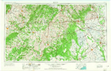
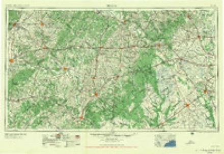
- 1953 USGS Seguin quadrangle1:250000, 4 printings
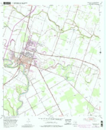
- 1953 USGS Wharton quadrangle1:24000, 4 printings
- 1958 USGS Seguin quadrangle1:250000
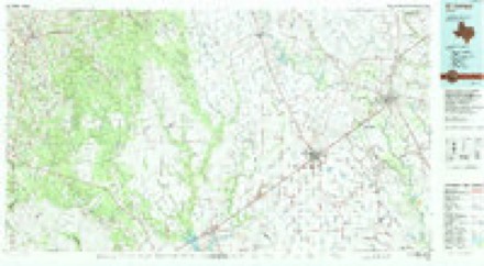
- 1994 USGS El Campo quadrangle1:100000
Storms near this place
4 since 2013Regional context, not property-specific evidence. The National Weather Service names Dinsmore in 4 storm reports between 2013 and 2025: 3 hail, 1 tornado. No death or injury is recorded in these reports. Each account below is quoted exactly as the forecast office filed it, from the NOAA Storm Events Database, and each date opens the federal record of that event.
| When | Event | Place named | Harm | What the report says |
|---|---|---|---|---|
| June 2025 | Tornado (EF1) | Dinsmore | $200,000 | An EF-1 tornado with 100 mph winds touched down just behind some apartments northeast of Wharton and travelled east across CR 166, CR 133, and CR 129. The most extensive damage was along Everett and Holiness Lanes, just south of CR 166. Numerous homes sustained major roof damage and a number of trees had large branches snapped. As the tornado traveled east it continued producing mostly tree damage and some minor roof damage. |
| September 2016 | Hail | Dinsmore | - | Dime size hail was reported at the intersection of CR 131 and CR 152. |
| December 2016 | Hail | Dinsmore | - | Quarter sized to golf ball size hail near the intersection of County Roads 123 and 154. |
| April 2013 | Hail | Dinsmore | - | A severe thunderstorm produced quarter to golf ball sized hail. |
Nearest settlements
The eight closest, with where each one stands in the county. Distances are straight-line, computed from the Geographic Names Information System coordinates.
Provenance
This settlement is recorded in the Geographic Names Information System as feature 1356039. The sheet list is computed by point-in-boundary test against the United States Geological Survey's historical topographic inventory. Both are works of the United States government and carry no copyright under 17 U.S.C. 105.
Storms. NOAA National Centers for Environmental Information, Storm Events Database https://www.ncei.noaa.gov/stormevents/ A work of the United States government, no copyright under 17 U.S.C. 105. Narratives are quoted verbatim from the National Weather Service report and are not edited or summarised.