 Block
BlockDonie, Texas
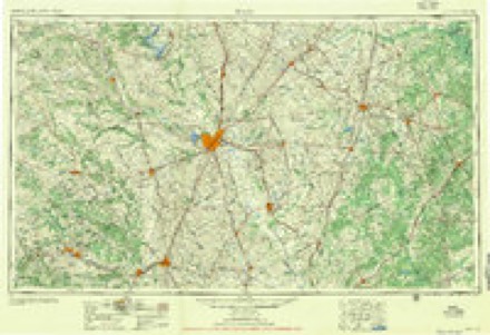
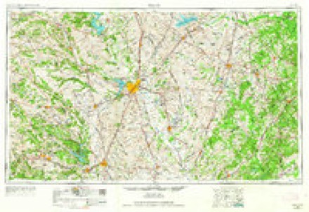
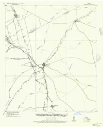
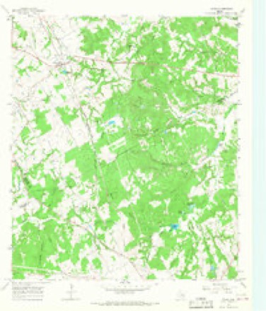
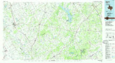
8 topographic sheets cover this place, the earliest surveyed in 1954 and the latest in 1985. It stands in the Teague census division. It lies in ZIP code area 75838. It stands on Alum Branch. The Survey maps it on the Donie quadrangle. It stands 489 feet above sea level.
Topographic sheets covering this place
5 surveys from 8 printed sheetsMatched by testing this settlement's coordinate against the published boundary of every sheet in the United States Geological Survey's historical collection. Each opens the scanned sheet at the Survey.
- 1954 USGS Waco quadrangle1:250000, 2 printings
- 1955 USGS Waco quadrangle1:250000
- 1956 USGS Jewett quadrangle1:62500
- 1965 USGS Donie quadrangle1:24000, 2 printings
- 1985 USGS Marlin quadrangle1:100000, 2 printings
Fires near this place
60 since 1996Regional context, not property-specific evidence. The federal wildfire occurrence database lists 60 fires within 5 miles of Donie between 1996 and 2020, burning about 655 acres in total. 1 started naturally. 1 was recorded as arson. Distance is straight-line from the map coordinates, so a fire counted here may appear on a neighbouring settlement's page as well.
| Reported cause | Fires |
|---|---|
| Debris and open burning | 30 |
| Missing data/not specified/undetermined | 21 |
| Equipment and vehicle use | 3 |
| Smoking | 2 |
| Railroad operations and maintenance | 1 |
| Arson/incendiarism | 1 |
| Natural | 1 |
| Power generation/transmission/distribution | 1 |
The most recent of them, most recent first, with the day each was reported and the service that recorded it.
| Date | Cause | Size | Reported by | Name on the report |
|---|---|---|---|---|
| 5 September 2019 | Missing data/not specified/undetermined | 1.0 acres | Texas A & M Forest Service | M/A GRASS FIRE HWY 164 |
| 4 September 2015 | Debris and open burning | 2.0 acres | Texas A & M Forest Service | FCR 751 @ FM 489 |
| 24 September 2016 | Debris and open burning | 1.0 acres | Texas A & M Forest Service | 107 CR 793 DONIE |
| 24 September 2005 | Missing data/not specified/undetermined | 5.0 acres | Texas A & M Forest Service | not named |
| 13 September 2015 | Debris and open burning | 1.0 acres | Texas A & M Forest Service | CR 750 GRASS FIRE |
| 1 September 2007 | Missing data/not specified/undetermined | 5.0 acres | Texas A & M Forest Service | not named |
| 8 August 2011 | Missing data/not specified/undetermined | 2.0 acres | Texas A & M Forest Service | MUTIAL AID WEST MORELY POWER PLANT |
| 22 August 2019 | Equipment and vehicle use | 30 acres | Texas A & M Forest Service | 8223 |
Settlements close enough to share some of these fires:
Storms near this place
14 since 1995Regional context, not property-specific evidence. The National Weather Service names Donie in 14 storm reports between 1995 and 2023: 4 hail, 4 flash flood, 4 flood, 1 tornado. No death or injury is recorded in these reports. Each account below is quoted exactly as the forecast office filed it, from the NOAA Storm Events Database, and each date opens the federal record of that event.
| When | Event | Place named | Harm | What the report says |
|---|---|---|---|---|
| October 2015 | Flash Flood | Donie | $250,000 | Numerous county roads were covered in water after several hours of rainfall. Several roads had to be closed due to the high water. Small portions of CR 540 and CR 210 were washed away by flood waters. On CR 210, a driver crashed into what a sinkhole. He was not injured, but the truck was a total loss. The County Commissioner said the road was closed for about two weeks. |
| October 2013 | Flash Flood | Donie | $100,000 | Numerous roads were closed across the county due to very heavy rainfall resulting in flash flooding. 4-12 of rain fell across the county in just a few hours. Water entered one house on Highway 84 in Teague. 4 houses on the northeast side of Teague were evacuated as Turtle Creek quickly rose. |
| December 2015 | Flash Flood | Donie | $25,000 | Several areas across the county were flooded including parts of FM 27 between Fairfield and Kirvin. Local officials and the newspaper also reported flooding of Hwy 84W in Teague at the railroad bridge, Hwy 75 in Streetman at the railroad bridge, CR 750, FM 488 at 2570, CR 1040 at Hwy 80, FM 2547 near FM 833, FM 830 near FM 488, FM 930, part of FM 80 in the Donie area, and FM 290 near its intersection with FM 280 where a high water rescue was performed. |
| June 2023 | Thunderstorm Wind | Donie | $10,000 | Downburst and straight-line winds caused tree and roof damage in Donie. Time was estimated by radar. |
| October 2018 | Tornado (EF0) | Donie | - | A cone-shaped tornado was observed and videoed by storm chasers|and storm spotters to the west of Interstate 45 north of Buffalo|and Donie in Freestone County. The tornado became rain wrapped and|difficult to see, but is not believed to have crossed Interstate|45. The tornado occurred over a mostly rural area with limited |road access, but some tree damage was observed near the end of the|tornado track. Power flashes were also observed in a spotter |video. |
| December 2015 | Flood | Donie | - | Flooding was occurring across low-lying areas in the county, and along creeks and streams after several inches of rain fell in a short amount of time. Many roads along the swollen creeks and streams were closed due to flooding. The local TxDOT office reported FM 80 near Streetman between Interstate 45 and FM 833 was closed and remained closed until the 14th. |
| December 2015 | Flood | Donie | - | Several roads remained flooded and closed due to high water after 3-6 inches of rain fell across the county. |
| October 2015 | Flood | Donie | - | Several county roads remained closed due to high waters from flooding after 10-15 inches of rain fell across parts of the county. The heaviest rains fell across the northern half of the county. Many creeks and streams also remained out of their banks flooding surrounding locations. Some roads were still being closed on the morning of the 25th as runoff continued to inundate low-lying areas, creeks, and streams. |
| October 2013 | Flood | Donie | - | Flooding continued across Freestone County after 4-12 of rain fell over the area. The water took several hours to recede. Several roads remained closed and some roads were damaged by the flood waters. |
| January 2007 | Flash Flood | Donie | - | Several roads closed due to flooding including Highway 164 near the Freestone/Limestone border. |
| August 2023 | Hail | Donie | - | no account filed |
| May 1997 | Hail | Donie | - | no account filed |
| October 1996 | Hail | Donie | - | no account filed |
| April 1995 | Hail | Donie | - | no account filed |
Nearest settlements
The eight closest, with where each one stands in the county. Distances are straight-line, computed from the Geographic Names Information System coordinates.
| Map | Place | Distance | Sheets |
|---|---|---|---|
| Freestone | 4.7 miles | 8 | |
| Luna | 5.2 miles | 8 | |
| Marshy Springs | 7.2 miles | 8 | |
| Dew | 9.2 miles | 8 | |
| Concord | 9.4 miles | 8 | |
| Avant Prairie | 9.4 miles | 8 | |
| Teague | 10.8 miles | 8 | |
| Lanely | 12.1 miles | 8 |
Elsewhere
Matched on this settlement's Geographic Names Information System number rather than its name, so it cannot be a different place of the same name in another state.
| Wikipedia article on Donie | An encyclopaedic summary. Its text is share-alike, so it is linked here rather than copied. |
| Wikidata item Q5296097 | The structured record the population and elevation above come from. Public domain (CC0). |
Provenance
This settlement is recorded in the Geographic Names Information System as feature 1356156. The sheet list is computed by point-in-boundary test against the United States Geological Survey's historical topographic inventory. Both are works of the United States government and carry no copyright under 17 U.S.C. 105.
Wildfire. Short, Karen C. 2022. Spatial wildfire occurrence data for the United States, 1992-2020 [FPA_FOD_20221014]. 6th Edition. Fort Collins, CO: Forest Service Research Data Archive. https://doi.org/10.2737/RDS-2013-0009.6 Collected with United States Government funding and usable without additional permissions or fees.
Storms. NOAA National Centers for Environmental Information, Storm Events Database https://www.ncei.noaa.gov/stormevents/ A work of the United States government, no copyright under 17 U.S.C. 105. Narratives are quoted verbatim from the National Weather Service report and are not edited or summarised.