 Block
BlockEagle Ford, Texas
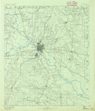
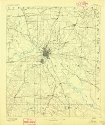
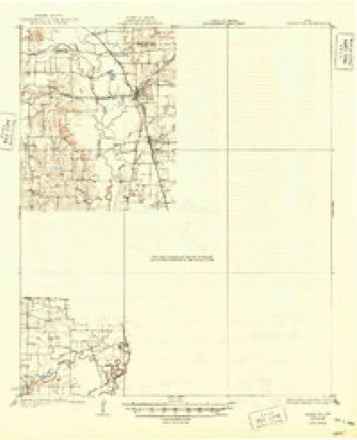
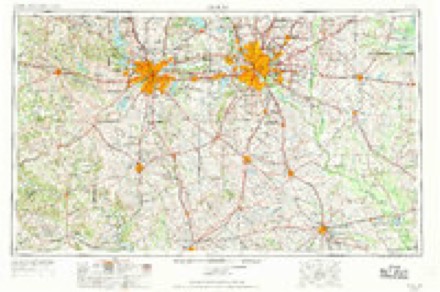
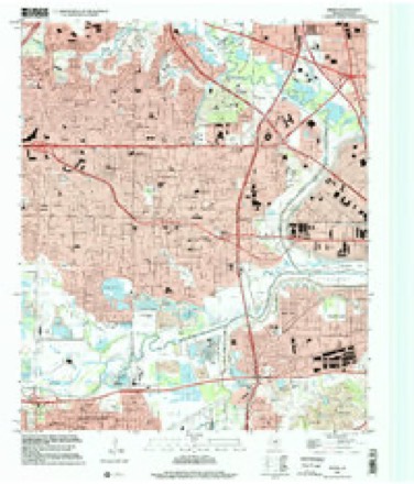
24 topographic sheets cover this place, the earliest surveyed in 1891 and the latest in 1995. It stands in the Southwest Dallas census division. It lies in ZIP code area 75212. It stands on Delaware Creek. The Survey maps it on the Irving quadrangle.
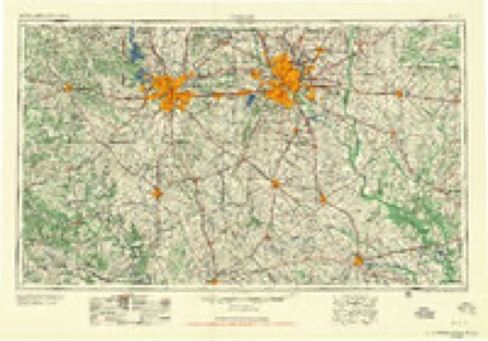
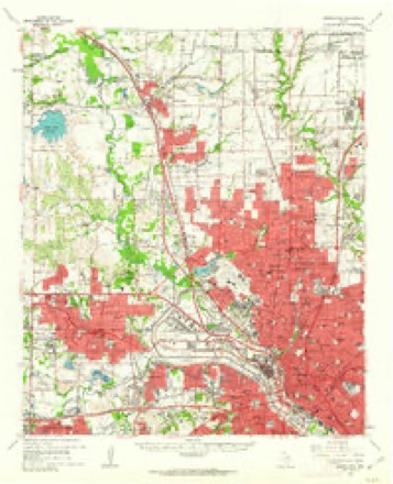
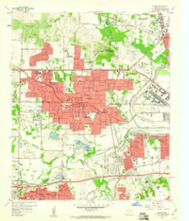
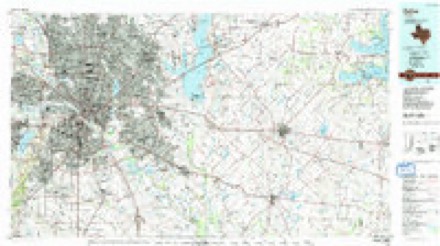
Topographic sheets covering this place
9 surveys from 24 printed sheetsMatched by testing this settlement's coordinate against the published boundary of every sheet in the United States Geological Survey's historical collection. Each opens the scanned sheet at the Survey.
- 1891 USGS Dallas quadrangle1:125000
- 1893 USGS Dallas quadrangle1:125000, 5 printings
- 1931 USGS Carrollton quadrangle1:62500, 3 printings
- 1954 USGS Dallas quadrangle1:250000, 4 printings
- 1958 USGS Dallas quadrangle1:250000
- 1959 USGS Carrollton quadrangle1:62500
- 1959 USGS Irving quadrangle1:24000, 5 printings
- 1986 USGS Dallas quadrangle1:100000, 3 printings
- 1995 USGS Irving quadrangle1:24000
Fires near this place
173 since 2014Regional context, not property-specific evidence. The federal wildfire occurrence database lists 173 fires within 5 miles of Eagle Ford between 2014 and 2018, burning about 58 acres in total. None started naturally. None was recorded as arson. Distance is straight-line from the map coordinates, so a fire counted here may appear on a neighbouring settlement's page as well.
| Reported cause | Fires |
|---|---|
| Missing data/not specified/undetermined | 140 |
| Equipment and vehicle use | 14 |
| Misuse of fire by a minor | 6 |
| Smoking | 5 |
| Debris and open burning | 4 |
| Recreation and ceremony | 3 |
| Power generation/transmission/distribution | 1 |
The most recent of them, most recent first, with the day each was reported and the service that recorded it.
| Date | Cause | Size | Reported by | Name on the report |
|---|---|---|---|---|
| 7 September 2015 | Missing data/not specified/undetermined | under an acre | Texas A & M Forest Service | STARETTA |
| 4 September 2015 | Missing data/not specified/undetermined | under an acre | Texas A & M Forest Service | DUMANE |
| 30 September 2016 | Missing data/not specified/undetermined | under an acre | Texas A & M Forest Service | N. STEMMONS SERV SB |
| 30 September 2015 | Missing data/not specified/undetermined | under an acre | Texas A & M Forest Service | PLYMOUTH |
| 30 September 2015 | Missing data/not specified/undetermined | under an acre | Texas A & M Forest Service | BICKERS |
| 3 September 2016 | Missing data/not specified/undetermined | under an acre | Texas A & M Forest Service | 2928 INWOOD |
| 3 September 2015 | Missing data/not specified/undetermined | under an acre | Texas A & M Forest Service | NAVY |
| 26 September 2015 | Missing data/not specified/undetermined | under an acre | Texas A & M Forest Service | HARWICK |
Settlements close enough to share some of these fires:
Mines and quarries near this place
6 within 5 milesRegional context, not property-specific evidence. The federal mineral resources record lists 6 workings within 5 miles of Eagle Ford: 6 producers. All of them still produce. What was taken out: Stone, Crushed/Broken, Limestone, General, Stone, Crushed/Broken, Clay, Stone, Crushed/Broken, Limestone, General. Distance is straight-line from the map coordinates, so a quarry counted here may appear on a neighbouring settlement's page as well.
| Where | Site | Commodity | Status | Recorded |
|---|---|---|---|---|
| Dallas Quarry | Limestone, General, Stone, Crushed/Broken | Producer | Sedimentary | |
| Dallas Quarry & Plant | Stone, Crushed/Broken, Limestone, General | Producer | ||
| General Portland Clay Pit | Clay | Producer | ||
| Eagle-Ford Cement Plant | Stone, Crushed/Broken | Producer | ||
| General Portland Limestone Quarry | Stone, Crushed/Broken | Producer | ||
| Texas Ind Inc Dallas Lightweight | Stone, Crushed/Broken | Producer |
Storms near this place
13 since 2009Regional context, not property-specific evidence. The National Weather Service names Eagle Ford in 13 storm reports between 2009 and 2025: 4 flash flood, 3 thunderstorm wind, 3 hail, 2 lightning. The reports record 2 deaths and 6 injuries. Each account below is quoted exactly as the forecast office filed it, from the NOAA Storm Events Database, and each date opens the federal record of that event.
| When | Event | Place named | Harm | What the report says |
|---|---|---|---|---|
| October 2018 | Thunderstorm Wind | Eagle Ford | 1 killed, 5 hurt, $10,000 | Broadcast Media reported that 1 person was killed and 5 others injured when the frame of a residential structure which was under construction collapsed due to strong outflow winds from a thunderstorm. |
| July 2020 | Lightning | Eagle Ford | 1 killed | A 16 year old male was struck by lightning while under a tree in a yard. He died from his injuries on July 9th. |
| September 2010 | Tornado (EF2) | Eagle Ford | 1 hurt, $750,000 | Minor roof damage on the order of EF0 damage was noted along much of the path of this tornado, but EF2 damage was observed near the intersection of Irving Blvd and Mockingbird Lane in west Dallas. Near the intersection, substantial damage occurred to a warehouse. An exterior wall of the warehouse collapsed causing part of the roof to collapse. In addition, a tractor trailer traveling on Mockingbird Lane in front of the warehouse was blown into the warehouse, and the driver sustained minor injuries. Additional stores in the industrial area near the intersection sustained roof damage and holes were ripped into some roofs. Local broadcast media recorded this tornado live as it moved north through the western portions of the city of Dallas. Maximum wind speeds were estimated to be 115 mph. |
| May 2024 | Hail | Eagle Ford | $100,000 | no account filed |
| May 2014 | Thunderstorm Wind | Eagle Ford | $80,000 | A National Weather Service survey crew determined a microburst hit a subdivision in the City of Dallas. A church, located on the corner of Westmoreland Road and Canada Drive, was heavily damaged. The brick facade in the front of the building was torn off. In the neighborhood next to the church, heavy tree damage was noted with damage also sustained to roofs, siding, and outbuildings. |
| June 2009 | Flash Flood | Eagle Ford | $75,000 | Homes were evacuated near Sylvan Avenue and McBroom Street. The flooding was the result of training echoes over Dallas County. |
| June 2009 | Lightning | Eagle Ford | $50,000 | Two lightning strikes hit the Dallas pumping station causing the failure of one of the pumps that is responsible for parts of west Dallas. This failure exacerbated flooding in neighborhoods around Hampton Road and Canada Drive. Some evacuations were performed. |
| June 2009 | Flash Flood | Eagle Ford | $20,000 | Two lightning strikes hit the Dallas pumping station causing the failure of one of the pumps that is responsible for parts of west Dallas. This failure exacerbated flooding that was already ongoing in Dallas. Some evacuations were performed in neighborhoods around Hampton Road and Canada Drive. |
| August 2025 | Flash Flood | Eagle Ford | - | A broadcast media video indicated flooding on northbound I-35E near Market Center Blvd in Dallas. |
| June 2023 | Hail | Eagle Ford | - | The Dallas County EOC reported quarter size hail near I-30 and Hampton Road in Dallas. |
| September 2022 | Thunderstorm Wind | Eagle Ford | - | A social media picture indicated that a red cedar tree over 70 feet tall was snapped in the north part of Oak Cliff near the Kessler Park neighborhood. |
| May 2015 | Flash Flood | Eagle Ford | - | A public report indicated that Wesbound Interstate 30 neat North Hampton has several cars stalled due to high water. |
| May 2024 | Hail | Eagle Ford | - | no account filed |
Nearest settlements
The eight closest, with where each one stands in the county. Distances are straight-line, computed from the Geographic Names Information System coordinates.
| Map | Place | Distance | Sheets |
|---|---|---|---|
| Arcadia Park | 2.5 miles | 21 | |
| Irving | 3.2 miles | 24 | |
| Cockrell Hill | 3.4 miles | 21 | |
| Dallas | 5.0 miles | 26 | |
| Kenwood | 5.0 miles | 21 | |
| Oak Cliff | 5.7 miles | 20 | |
| Sowers | 5.8 miles | 24 | |
| Grand Prairie | 5.8 miles | 21 |
Provenance
This settlement is recorded in the Geographic Names Information System as feature 1334843. The sheet list is computed by point-in-boundary test against the United States Geological Survey's historical topographic inventory. Both are works of the United States government and carry no copyright under 17 U.S.C. 105.
Wildfire. Short, Karen C. 2022. Spatial wildfire occurrence data for the United States, 1992-2020 [FPA_FOD_20221014]. 6th Edition. Fort Collins, CO: Forest Service Research Data Archive. https://doi.org/10.2737/RDS-2013-0009.6 Collected with United States Government funding and usable without additional permissions or fees.
Mines and quarries. USGS Mineral Resources Data System (MRDS) https://mrdata.usgs.gov/mrds/ A work of the United States government, no copyright under 17 U.S.C. 105.
Storms. NOAA National Centers for Environmental Information, Storm Events Database https://www.ncei.noaa.gov/stormevents/ A work of the United States government, no copyright under 17 U.S.C. 105. Narratives are quoted verbatim from the National Weather Service report and are not edited or summarised.