 Block
BlockSowers, Texas
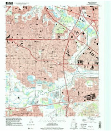
24 topographic sheets cover this place, the earliest surveyed in 1891 and the latest in 1995. It stands in the Southwest Dallas census division. It lies in ZIP code area 75061. The Survey maps it on the Irving quadrangle. 121 people lived here at the 1905 count. It stands 531 feet above sea level.
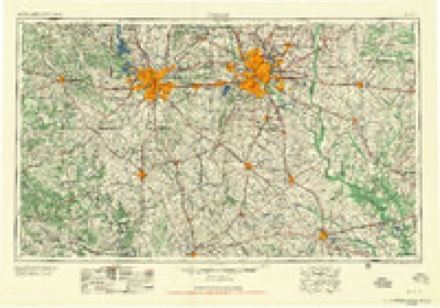
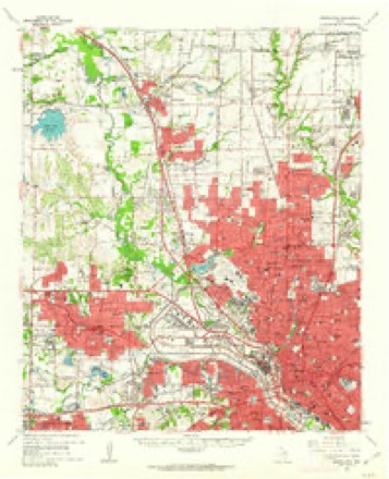
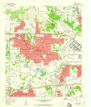
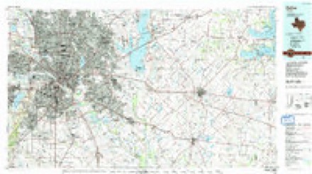
Topographic sheets covering this place
9 surveys from 24 printed sheetsMatched by testing this settlement's coordinate against the published boundary of every sheet in the United States Geological Survey's historical collection. Each opens the scanned sheet at the Survey.
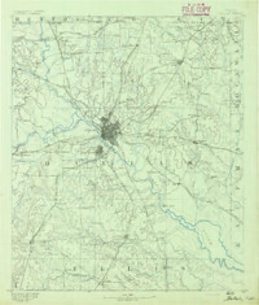
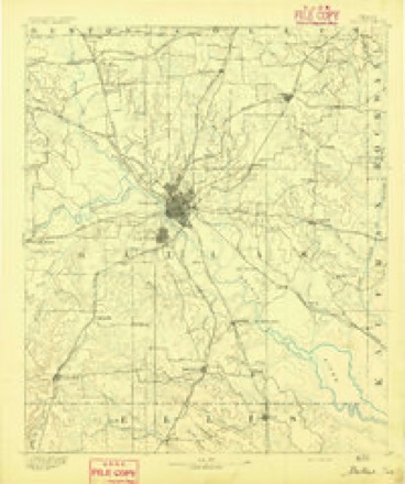
- 1891 USGS Dallas quadrangle1:125000
- 1893 USGS Dallas quadrangle1:125000, 5 printings
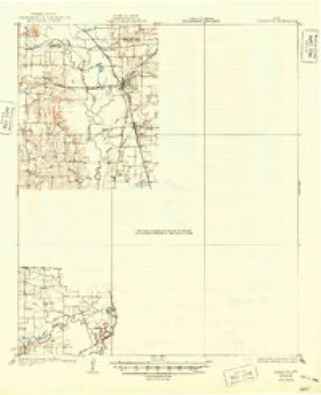
- 1931 USGS Carrollton quadrangle1:62500, 3 printings
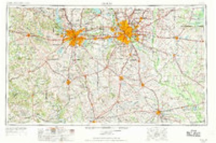
- 1954 USGS Dallas quadrangle1:250000, 4 printings
- 1958 USGS Dallas quadrangle1:250000
- 1959 USGS Carrollton quadrangle1:62500
- 1959 USGS Irving quadrangle1:24000, 5 printings
- 1986 USGS Dallas quadrangle1:100000, 3 printings
- 1995 USGS Irving quadrangle1:24000
Fires near this place
23 since 2013Regional context, not property-specific evidence. The federal wildfire occurrence database lists 23 fires within 5 miles of Sowers between 2013 and 2020, burning about 31 acres in total. None started naturally. None was recorded as arson. Distance is straight-line from the map coordinates, so a fire counted here may appear on a neighbouring settlement's page as well.
| Reported cause | Fires |
|---|---|
| Missing data/not specified/undetermined | 19 |
| Debris and open burning | 3 |
| Equipment and vehicle use | 1 |
The most recent of them, most recent first, with the day each was reported and the service that recorded it.
| Date | Cause | Size | Reported by | Name on the report |
|---|---|---|---|---|
| 11 September 2013 | Debris and open burning | under an acre | Texas A & M Forest Service | PR 3484 |
| 8 August 2016 | Missing data/not specified/undetermined | under an acre | Texas A & M Forest Service | HWY 360 |
| 7 August 2020 | Missing data/not specified/undetermined | under an acre | Texas A & M Forest Service | 360 |
| 28 August 2015 | Missing data/not specified/undetermined | under an acre | Texas A & M Forest Service | HIGHWAY 360 |
| 27 August 2016 | Missing data/not specified/undetermined | under an acre | Texas A & M Forest Service | HWY 360 |
| 17 August 2013 | Missing data/not specified/undetermined | 17 acres | Texas A & M Forest Service | ASSIST BIG SANDY |
| 10 August 2020 | Missing data/not specified/undetermined | under an acre | Texas A & M Forest Service | STATE HWY 360 |
| 5 July 2016 | Missing data/not specified/undetermined | under an acre | Texas A & M Forest Service | STATE HWY 360 |
Settlements close enough to share some of these fires:
Mines and quarries near this place
6 within 5 milesRegional context, not property-specific evidence. The federal mineral resources record lists 6 workings within 5 miles of Sowers: 6 producers. All of them still produce. What was taken out: Sand and Gravel, Construction, Silica, Sand and Gravel, Construction, Gypsum-Anhydrite, Perlite. Distance is straight-line from the map coordinates, so a quarry counted here may appear on a neighbouring settlement's page as well.
| Where | Site | Commodity | Status | Recorded |
|---|---|---|---|---|
| Dallas Gypsum Plant | Gypsum-Anhydrite | Producer | ||
| Grand Prairie Pit | Silica, Sand and Gravel, Construction | Producer | ||
| Texas Vermiculite Plant | Perlite | Producer | ||
| Barton Pit | Sand and Gravel, Construction | Producer | ||
| Crouch Sand and Gravel Co Operation | Sand and Gravel, Construction | Producer | ||
| G and G Sand and Gravel Operation | Sand and Gravel, Construction | Producer |
Storms near this place
17 since 2010Regional context, not property-specific evidence. The National Weather Service names Sowers in 17 storm reports between 2010 and 2025: 8 hail, 5 flash flood, 4 tornado. No death or injury is recorded in these reports. Each account below is quoted exactly as the forecast office filed it, from the NOAA Storm Events Database, and each date opens the federal record of that event.
| When | Event | Place named | Harm | What the report says |
|---|---|---|---|---|
| June 2012 | Hail | Sowers | $2,500,000 | Ping pong ball sized hail was reported at Walnut Hill Lane and Belt Line Road in Irving. |
| March 2025 | Tornado (EF1) | Sowers | $1,000,000 | A brief tornado occurred in Irving within a larger area of wind damage. The tornado was verified with radar data after a ground survey was completed. The tornado began near Pecan Drive, south of West Pioneer Dr. Mostly tree damage was observed along this street. One vehicle was damaged due to falling trees. The tornado then impacted the Tree Country Apartments causing EF-1 wind damage to the roof of nearly every apartment building in the complex. Tree and roof damage was also noted next door at the Learning Tree Academy. Across the street, the Irving Police Family Advocacy Center lost half of its roof and the covering off a second story balcony. The tornado tracked east-northeast from here and dissipated between Cedar Drive and North O'Connor Road. Damage to the La Hacienda Apartments was caused by RFD-type winds at the end of the tornado track. Maximum estimated winds were 110 mph at the Tree Country Apartments. |
| June 2012 | Hail | Sowers | $1,000,000 | Tennis ball sized hail fell in South Irving. |
| April 2012 | Hail | Sowers | $300,000 | Ping pong ball sized hail fell in Irving. |
| June 2012 | Hail | Sowers | $200,000 | Hen egg sized hail fell at the Irving EOC building. |
| May 2011 | Tornado (EF1) | Sowers | $150,000 | A NWS Storm Survey determined that an EF-1 tornado occurred in the city of Irving, south of Highway 183. This tornado began along West Grauwyler Road and traveled nearly due south about one and a third miles before lifting near Story Road and 5th Street. Significant tree damage occurred in the Sherwood Forest neighborhood and some roofs were damaged in the same neighborhood. Most of the damage occurred south of Conflans Road along Huntington Drive. One large tree fell through the second story of a home. A small apartment complex at the end of Highland Park Drive was also significantly damaged. The roof was partially torn off one building, and the chimney and A/C vents were also torn off the same roof. Roof damage was observed on other apartment buildings and many windows were broken. South of the apartment complex, across Rock Island Road, the metal roof of a small retail building was torn off, and other buildings in the same retail center sustained damage. Significant tree damage also occurred along the southern portions of the tornado track. Maximum estimated winds were 105 MPH. |
| September 2018 | Flash Flood | Sowers | $100,000 | A social media report indicated multiple vehicles stranded near the intersection of Highway 183 and Belt Line Road in the city of Irving, TX. |
| April 2012 | Tornado (EF0) | Sowers | $100,000 | An EF-0 tornado with maximum estimated around 85 mph occurred in west Irving. The twister damaged a metal awning at a house and uprooted trees along Avenida Loop by the Irving Mall. Continuing to the northeast, the twister damaged part of the roof of the Goodwill store on N Belt Line Rd and blew HVAC units off the rooftop of the store. Wood power poles were leaning near W Rochelle Rd and N Belt Line Rd. Near the end of the track, trees were uprooted and minor damage was noted at Townsell Elementary School. Two air conditioning units at the school were damaged and so was a gas line. The path length was non-continuous and was approximately 1.3 miles long with a narrow width of 30 yards. |
| March 2023 | Tornado (EF1) | Sowers | - | A brief tornado formed in the central portion of the City of Irving, near the intersection of MacArthur Boulevard and State Highway 183. Near this formation point, an auto dealership sustained damage to the roof and front facade of the main showroom building. An adjacent power pole was also pushed over. Damage at this dealership was consistent with low end EF-1 intensity windspeeds of approximately 105 mph. The tornado moved northeast through adjacent apartment complexes and residential areas, producing tree damage and occasional roof damage consistent with 65-80 mph winds. The tornado dissipated near the intersection of Rochelle Road and O'Conner Road. |
| May 2023 | Hail | Sowers | - | A report of quarter size hail was received via mPING. |
| April 2020 | Hail | Sowers | - | Amateur radio reported ping pong ball sized hail near the intersection of Shady Grove Rd and Macarthur Blvd. |
| April 2017 | Flash Flood | Sowers | - | Emergency management reported that there were multiple high water calls involving stalled motorists on Shady Grove Rd between MacArthur Blvd and Loop 12 in the city of Irving, TX. |
| April 2017 | Flash Flood | Sowers | - | Emergency management reported that the westbound service road of Hwy 183 between Carl Rd and O'Connor Blvd is being closed due to high water. |
| August 2016 | Flash Flood | Sowers | - | Multiple stranded vehicles reported near Irving due to flooded streets. |
| May 2015 | Flash Flood | Sowers | - | A social media report indicated that cars were trapped in high water on North Belt Line Road in Irving, TX. |
| March 2010 | Hail | Sowers | - | Ping-pong size hail fell at the intersection of Walnut Hill and Pleasant Run in the city of Irving. |
| March 2023 | Hail | Sowers | - | no account filed |
Nearest settlements
The eight closest, with where each one stands in the county. Distances are straight-line, computed from the Geographic Names Information System coordinates.
| Map | Place | Distance | Sheets |
|---|---|---|---|
| Shady Grove | 2.3 miles | 21 | |
| Irving | 2.6 miles | 24 | |
| Estelle | 2.8 miles | 21 | |
| Highland | 5.3 miles | 27 | |
| Grand Prairie | 5.7 miles | 21 | |
| Eagle Ford | 5.8 miles | 24 | |
| Gribble | 6.6 miles | 27 | |
| Oldham | 6.7 miles | 24 |
Elsewhere
Matched on this settlement's Geographic Names Information System number rather than its name, so it cannot be a different place of the same name in another state.
| Wikipedia article on Sowers | An encyclopaedic summary. Its text is share-alike, so it is linked here rather than copied. |
| Wikidata item Q7571877 | The structured record the population and elevation above come from. Public domain (CC0). |
Provenance
This settlement is recorded in the Geographic Names Information System as feature 1347617. The sheet list is computed by point-in-boundary test against the United States Geological Survey's historical topographic inventory. Both are works of the United States government and carry no copyright under 17 U.S.C. 105.
Wildfire. Short, Karen C. 2022. Spatial wildfire occurrence data for the United States, 1992-2020 [FPA_FOD_20221014]. 6th Edition. Fort Collins, CO: Forest Service Research Data Archive. https://doi.org/10.2737/RDS-2013-0009.6 Collected with United States Government funding and usable without additional permissions or fees.
Mines and quarries. USGS Mineral Resources Data System (MRDS) https://mrdata.usgs.gov/mrds/ A work of the United States government, no copyright under 17 U.S.C. 105.
Storms. NOAA National Centers for Environmental Information, Storm Events Database https://www.ncei.noaa.gov/stormevents/ A work of the United States government, no copyright under 17 U.S.C. 105. Narratives are quoted verbatim from the National Weather Service report and are not edited or summarised.