 Block
BlockEl Indio, Texas
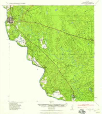
6 topographic sheets cover this place, the earliest surveyed in 1940 and the latest in 1985. It stands in the Eagle Pass census division. It lies in ZIP code area 78860. The Survey maps it on the El Indio quadrangle. 182 people lived here at the 2020 count. It stands 735 feet above sea level.
Population over time
3 figuresEl Indio fell from 263 to 182 between 2000 and 2020. These are the recorded population figures Wikidata holds for this place, reached through the Geographic Names Information System number this page is keyed on rather than by name, so they belong to this place and not to another of the same name. Most are census counts, but not all are: an early figure may be a founding or settlement estimate, and an estimate published within five years of a census is left out. The change column is computed, and is left blank where more than 20 years separate a figure from the one before it, because a gap that long is not a change between two counts.
| Year | People | Change |
|---|---|---|
| 2000 | 263 | |
| 2010 | 190 | -73 (-28%) |
| 2020 | 182 | -8 (-4%) |
Topographic sheets covering this place
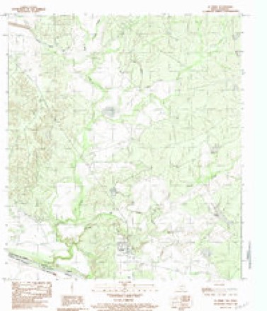
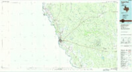
5 surveys from 6 printed sheetsMatched by testing this settlement's coordinate against the published boundary of every sheet in the United States Geological Survey's historical collection. Each opens the scanned sheet at the Survey.
- 1940 USGS Eagle Pass quadrangle1:62500
- 1958 USGS Eagle Pass quadrangle1:250000, 2 printings
- 1965 USGS Eagle Pass quadrangle1:250000
- 1983 USGS El Indio quadrangle1:24000
- 1985 USGS Eagle Pass quadrangle1:100000
Storms near this place
20 since 1996Regional context, not property-specific evidence. The National Weather Service names El Indio in 20 storm reports between 1996 and 2022: 10 hail, 5 thunderstorm wind, 4 flash flood, 1 tornado. No death or injury is recorded in these reports. Each account below is quoted exactly as the forecast office filed it, from the NOAA Storm Events Database, and each date opens the federal record of that event.
| When | Event | Place named | Harm | What the report says |
|---|---|---|---|---|
| May 2006 | Thunderstorm Wind | El Indio | $100,000 | Severe thunderstorm winds struck from west of Carrizo Springs into Maverick County. As the storms moved southward, they knocked over trees and blew down power lines from west of Carrizo Springs to El Indio and southward to the Aerostat site. The wind damage was most severe in the El Indio area where widespread damage to roofs was indicated. |
| May 2021 | Thunderstorm Wind | El Indio | $50,000 | A thunderstorm produced wind gusts estimated at 70 mph. These winds damaged two roofs and downed power lines in El Indio. |
| May 1997 | Thunderstorm Wind | El Indio | $5,000 | Numerous large limbs blown out of trees and phone lines blown down by high winds. |
| April 2022 | Thunderstorm Wind | El Indio | - | A thunderstorm produced a wind gust measured at 62 mph and nickel size hail south of El Indio. |
| April 2022 | Hail | El Indio | - | A thunderstorm produced nickel size hail and a wind gust measured at 62 mph south of El Indio. |
| May 2015 | Hail | El Indio | - | Three-quarter inch hail was reported by a storm chaser in the city of El Indio. |
| May 2015 | Hail | El Indio | - | One inch diameter hail was reported by a storm chaser in the city of El Indio. |
| May 2009 | Hail | El Indio | - | The El Indio Co-op Observer reported nickel size hail at the Cage Ranch. |
| July 2007 | Flash Flood | El Indio | - | Thunderstorms formed just east of El Indio in the late afternoon and dropped between 2 and 3 inches of rain in the area through the early evening. Flash flooding closed FM2644 through the evening period. |
| September 2007 | Flash Flood | El Indio | - | Between 4 and 6 inches of rain fell overnight. FM1021 was closed. Several schools were also closed.| |
| May 2006 | Flash Flood | El Indio | - | Thunderstorms produced between 2 and 3 inches of rain from El Indio southward to the Aerostat site south of the community. Highest rain totals were 6 inches at a point 5 miles south of El Indio. FM1021, which runs north to south through the area, was closed due to flash flooding. |
| May 2006 | Flash Flood | El Indio | - | General 1 inch rainfall with totals of up to 4 inches south of El Indio caused widespread flash flooding and closed roads in extreme southern Maverick County. FM1021 was reported to be under water. |
| May 2001 | Tornado (F0) | El Indio | - | The small, and short-lived tornado was spotted by an Eagle Pass policeman in an open area near El Indio. It caused no damage. |
| April 2017 | Hail | El Indio | - | no account filed |
| May 2013 | Hail | El Indio | - | no account filed |
| May 2001 | Hail | El Indio | - | no account filed |
| May 1999 | Thunderstorm Wind | El Indio | - | no account filed |
| February 1998 | Hail | El Indio | - | no account filed |
| April 1997 | Hail | El Indio | - | no account filed |
| April 1996 | Hail | El Indio | - | no account filed |
Nearest settlements
The eight closest, with where each one stands in the county. Distances are straight-line, computed from the Geographic Names Information System coordinates.
| Map | Place | Distance | Sheets |
|---|---|---|---|
| Rosita Gardens Colonia | 9.1 miles | 6 | |
| Loma Linda Number 3 Colonia | 9.6 miles | 6 | |
| Rosita Valley Colonia | 9.6 miles | 6 | |
| Loma Linda Ranchettes Colonia | 9.8 miles | 6 | |
| Victoriano Hernandez Colonia | 9.8 miles | 6 | |
| Loma Linda Number 4 Colonia | 9.9 miles | 6 | |
| Loma Linda Number 2 Colonia | 9.9 miles | 6 | |
| Loma Linda Number 5 Colonia | 10.0 miles | 6 |
Elsewhere
Matched on this settlement's Geographic Names Information System number rather than its name, so it cannot be a different place of the same name in another state.
| Wikipedia article on El Indio | An encyclopaedic summary. Its text is share-alike, so it is linked here rather than copied. |
| Wikidata item Q981429 | The structured record the population and elevation above come from. Public domain (CC0). |
Provenance
This settlement is recorded in the Geographic Names Information System as feature 1356868. The sheet list is computed by point-in-boundary test against the United States Geological Survey's historical topographic inventory. Both are works of the United States government and carry no copyright under 17 U.S.C. 105.
Storms. NOAA National Centers for Environmental Information, Storm Events Database https://www.ncei.noaa.gov/stormevents/ A work of the United States government, no copyright under 17 U.S.C. 105. Narratives are quoted verbatim from the National Weather Service report and are not edited or summarised.