 Block
BlockFrom the record
2 National Register listings published here.
Sources: the National Register database, National Park Service
13 topographic sheets cover 69 settlements here, and 2 properties are on the National Register of Historic Places.
2 National Register listings published here.
Sources: the National Register database, National Park Service
Every property in this county listed on the National Register of Historic Places, with the year it was listed and the federal nomination document.
| Photograph | Property | Type | Listed | Reference |
|---|---|---|---|---|
 | Fort Duncan | district | 1971 | 71000954 |
 | Maverick County Courthouse | building | 1980 | 80004141 |
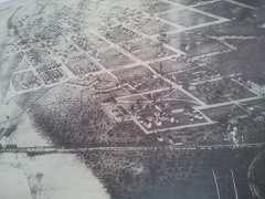
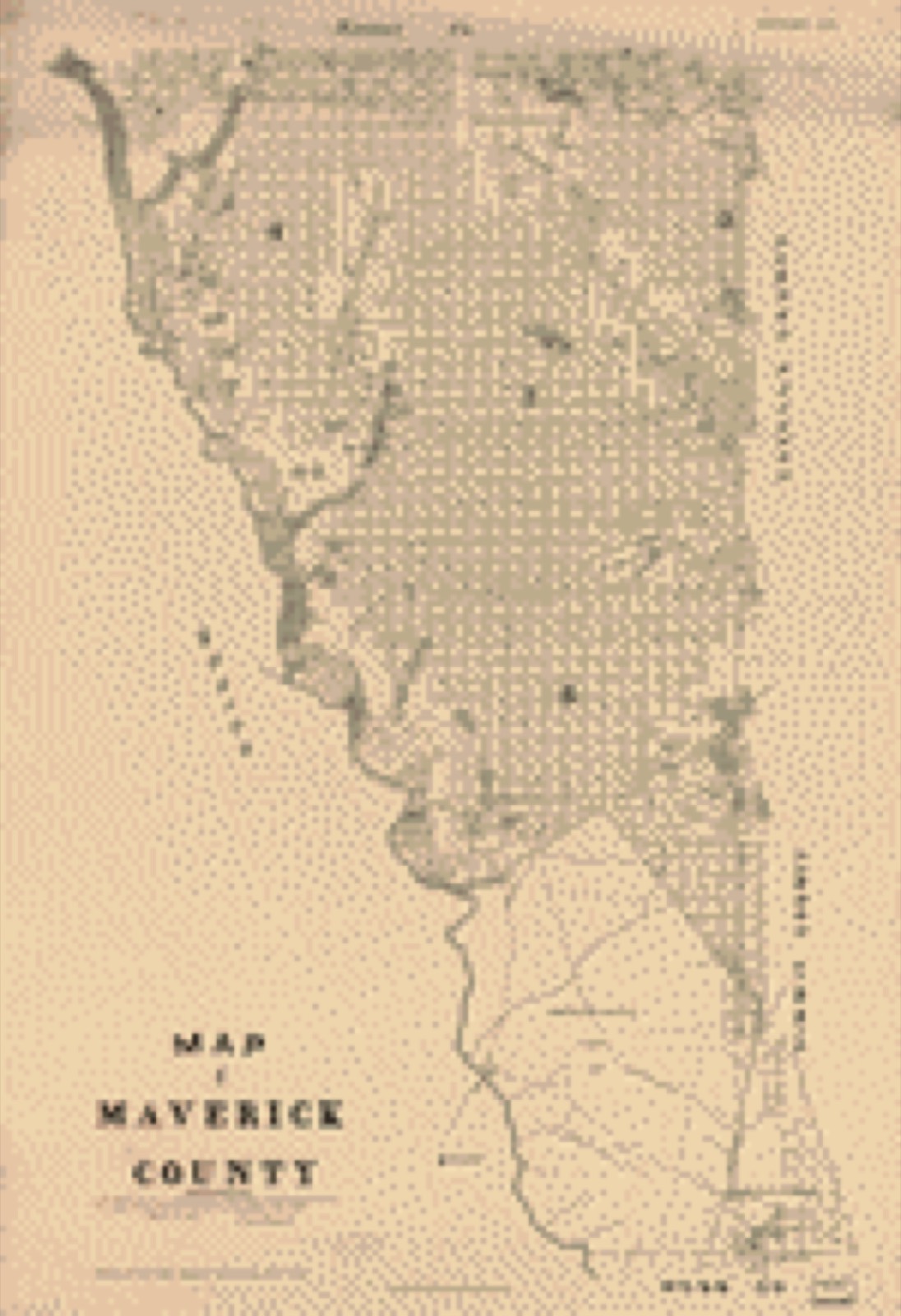
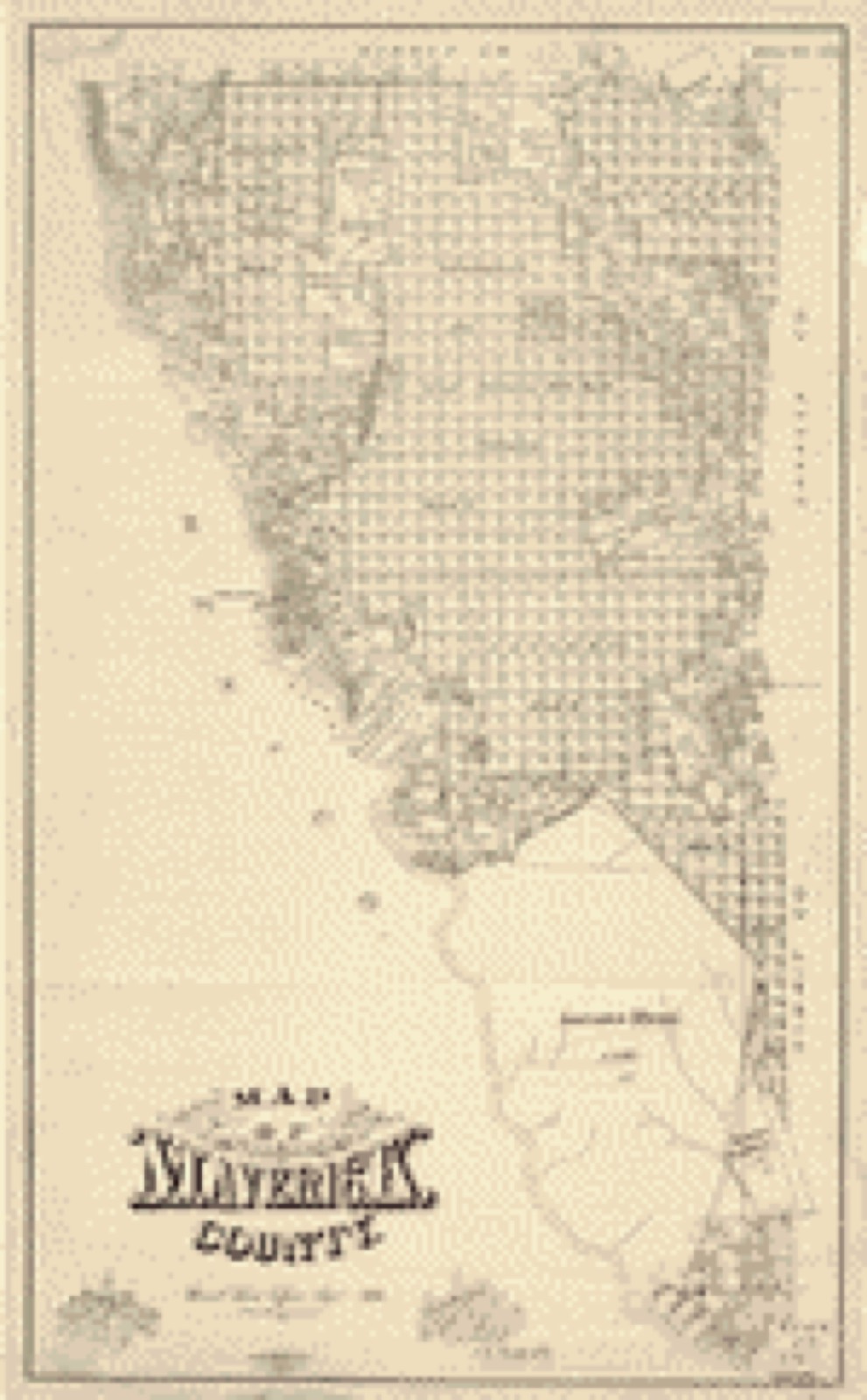
Drawn when these were printed as single large sheets: the town seen from the air, and the county divided into its farms with every owner named. Each opens the original at the Library of Congress.
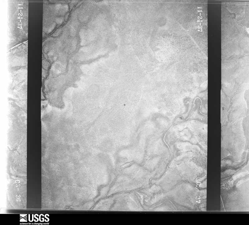
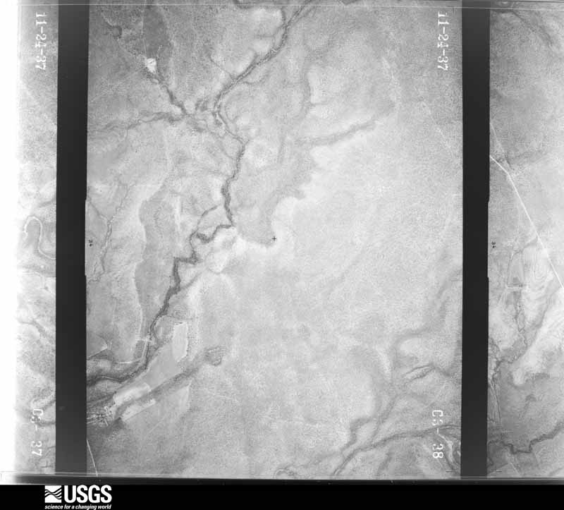
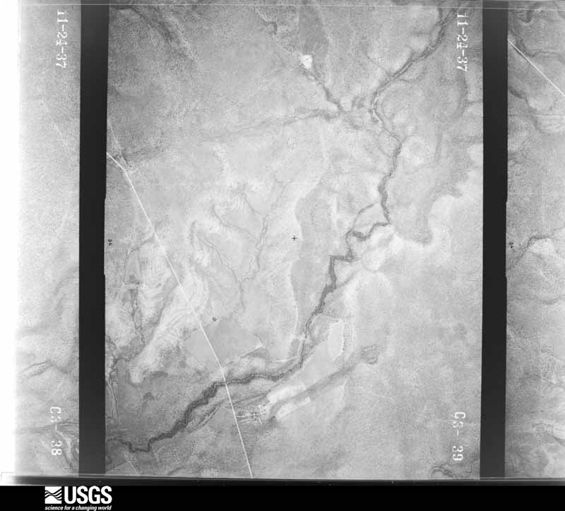
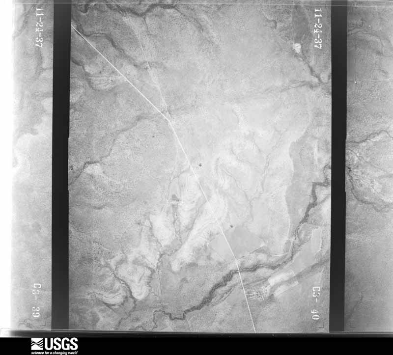
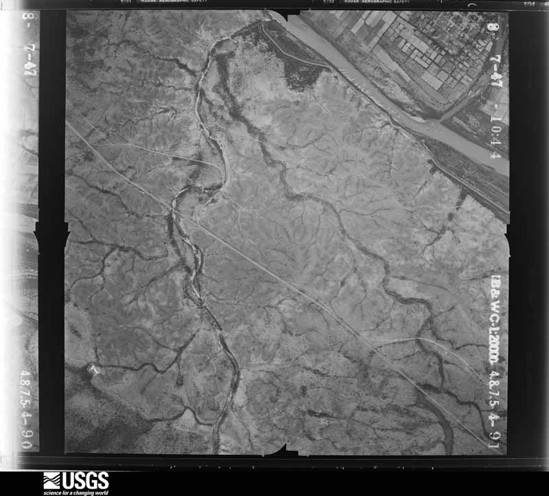
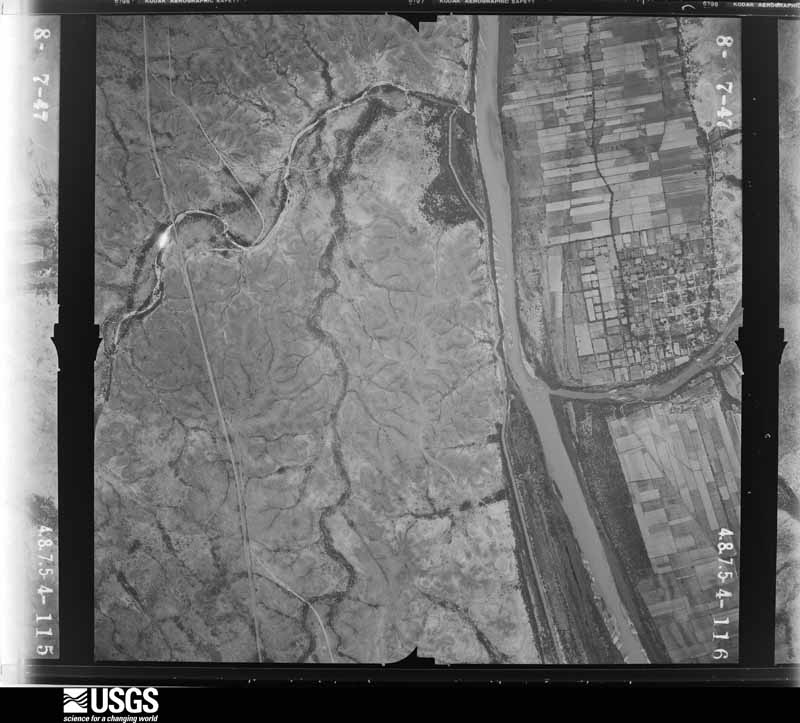
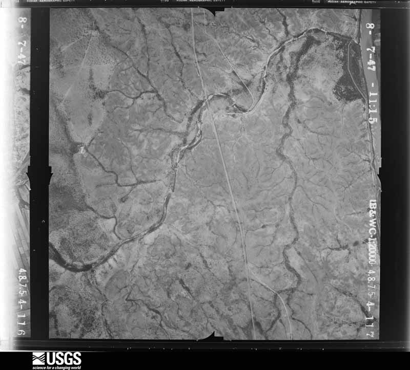
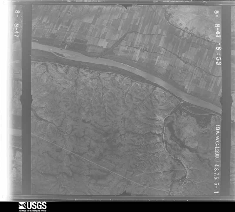
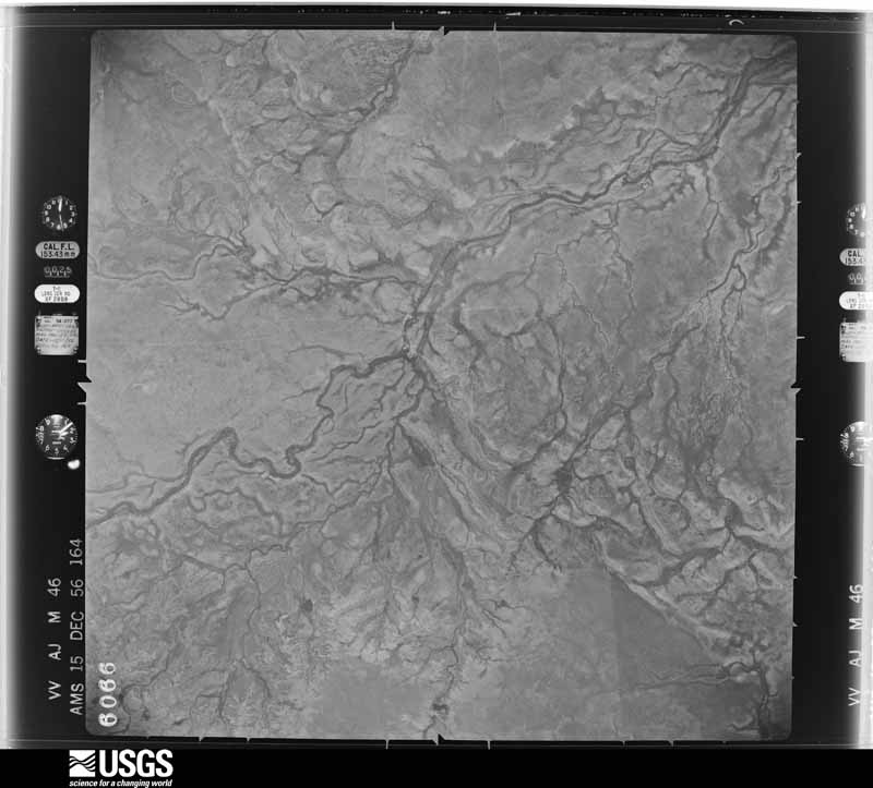
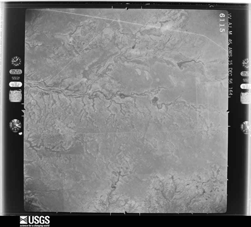
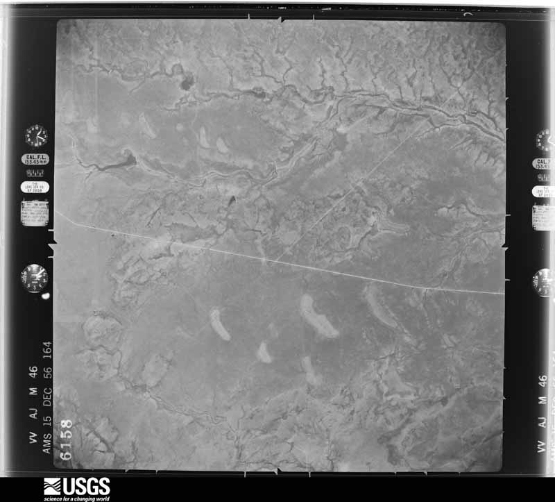
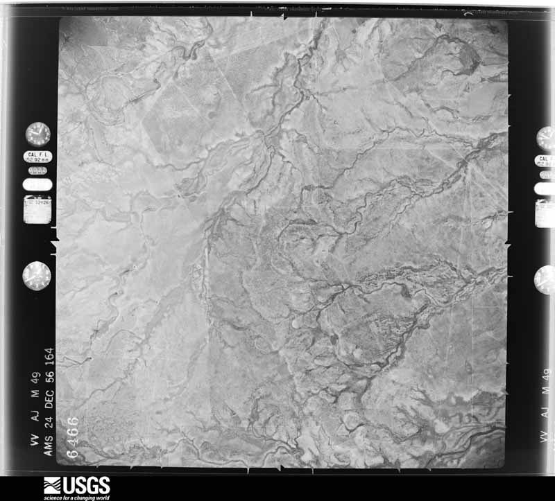
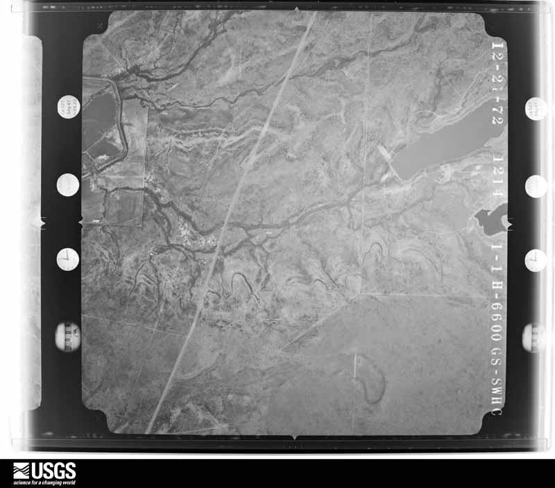
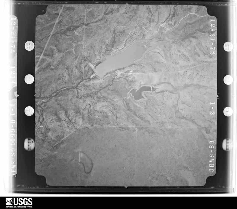
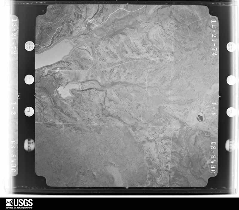
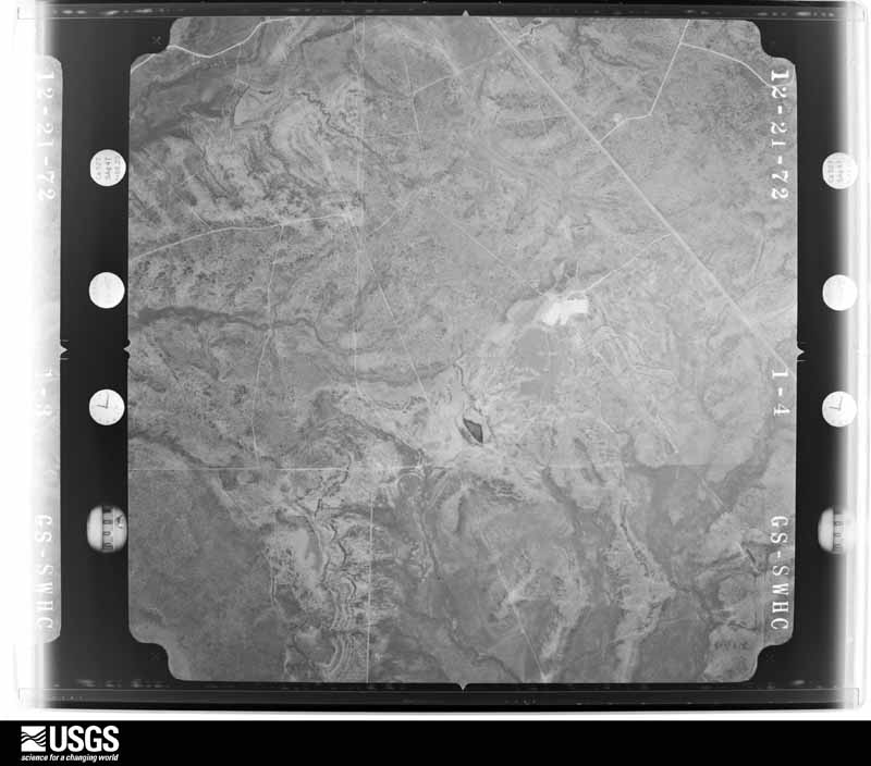
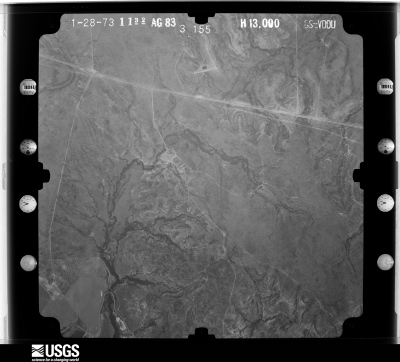
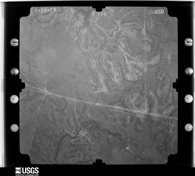
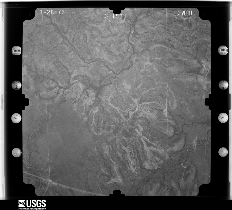
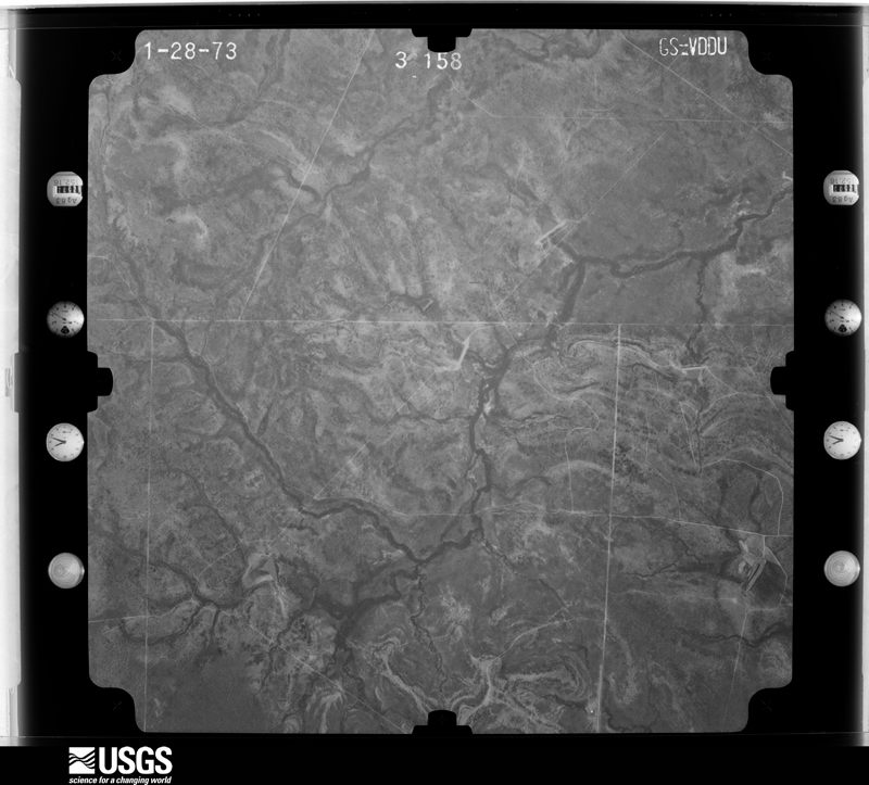
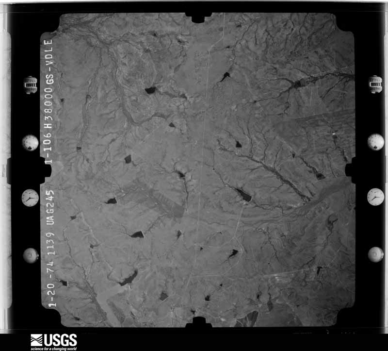
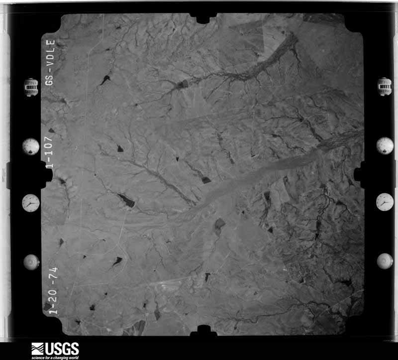
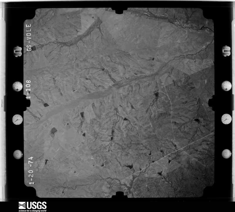
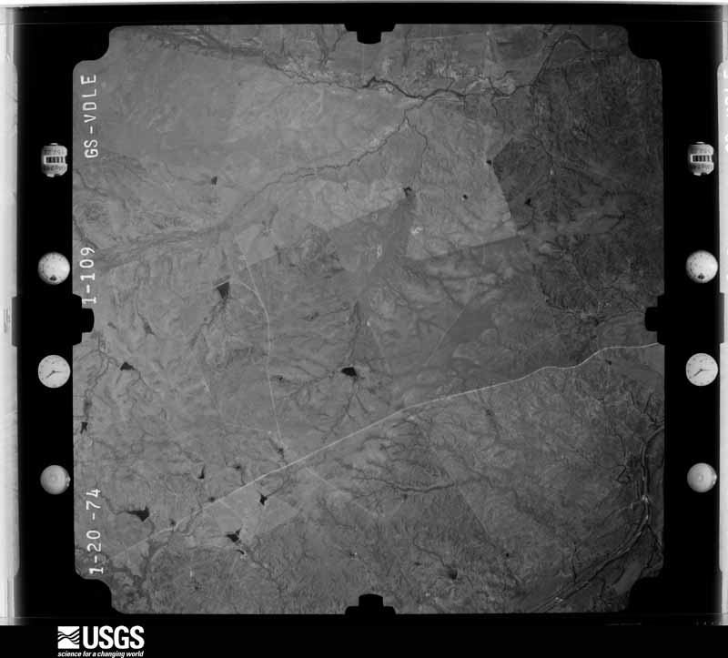
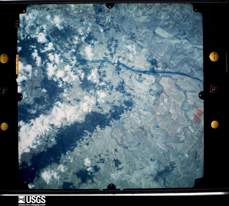
Flown by the U.S. Geological Survey between 1937 and 1989, the Aerial Photo Single Frames collection is the definitive mid-century view of the land: fields, roads and rivers as the camera saw them. The Survey holds 1,254 frames inside the rectangle that bounds this county; the 28 frames below were taken over the county itself, chosen across the decades of flights (at most four a year from that rectangle), so one flight cannot crowd out the rest. The full set is free to browse and download at EarthExplorer under the dataset Aerial Photo Single Frames.
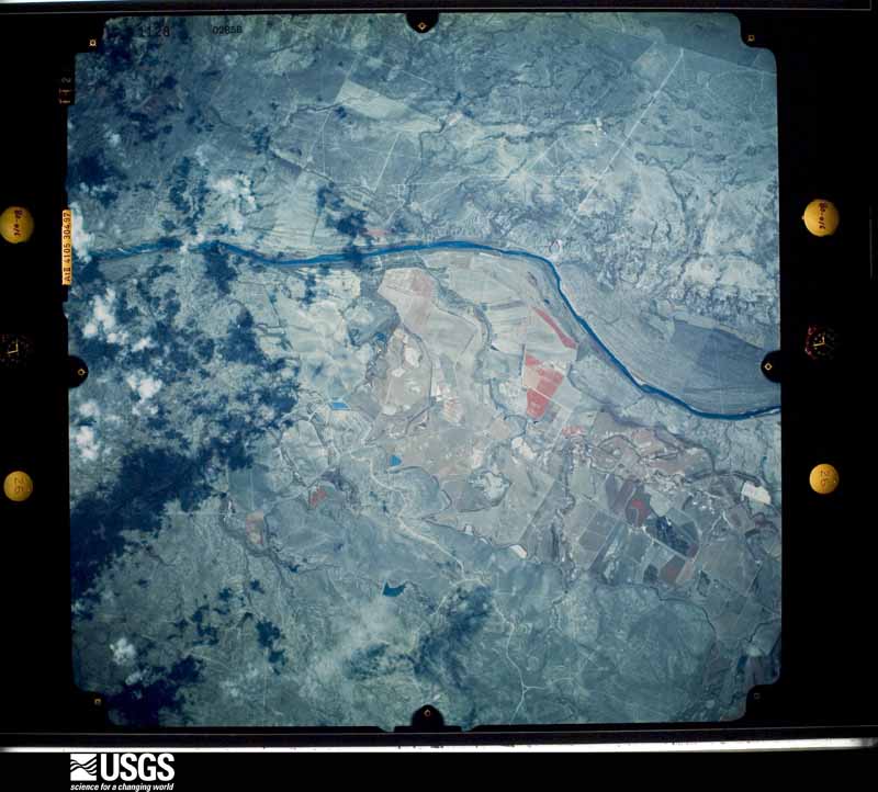
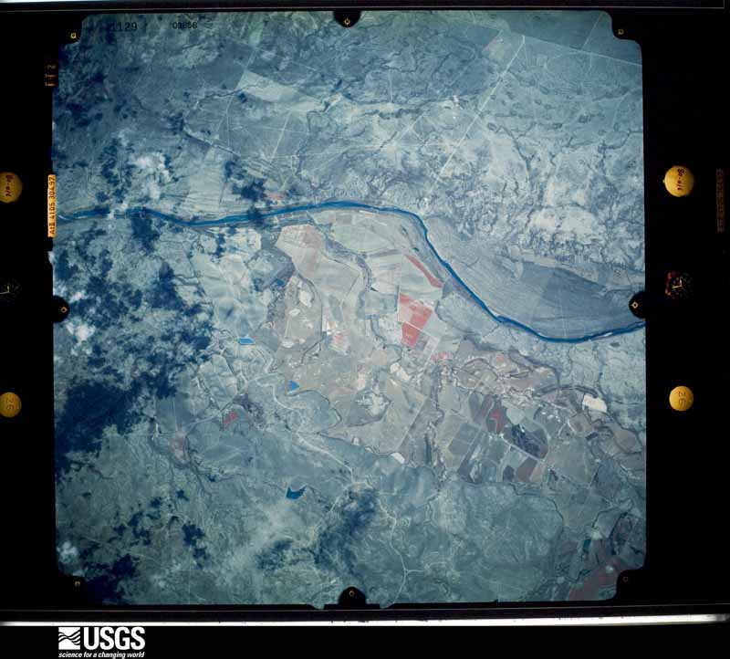
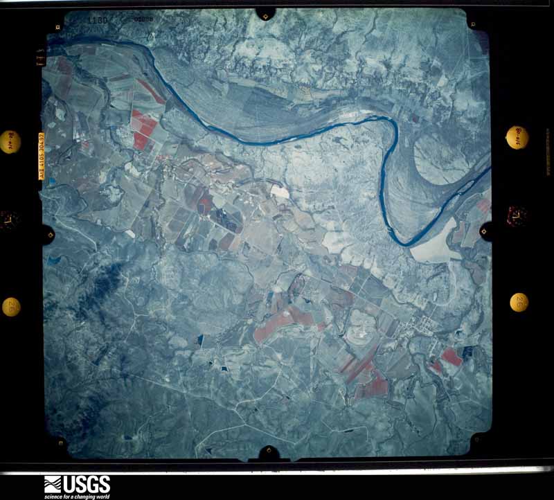
The thermometers that kept this county's weather, as the federal records hold them. The extremes below are measured values from those records, not estimates.
Who lived here in 1950, one enumeration district at a time, as the Census Bureau described each district. Each row opens its official National Archives result, with Population Schedules and ED Maps available there.
Every wildfire the federal occurrence database records inside this county: 56 of them, burning about 1,326 acres. None started naturally and 2 were recorded as arson. Each settlement page carries the fires within five miles of it.
| Reported cause | Fires |
|---|---|
| Missing data/not specified/undetermined | 51 |
| Arson/incendiarism | 2 |
| Equipment and vehicle use | 2 |
| Misuse of fire by a minor | 1 |
The five largest, by the area the report gives. One of them was set deliberately.
| Date | Cause | Size | Reported by | Name on the report |
|---|---|---|---|---|
| 4 May 2011 | Arson/incendiarism | 500 acres | Texas A & M Forest Service | COMMANCHE RANCH |
| 15 April 2008 | Equipment and vehicle use | 450 acres | Texas A & M Forest Service | WHITWORTH |
| 29 February 2008 | Missing data/not specified/undetermined | 50 acres | Texas A & M Forest Service | not named |
| 23 February 2008 | Missing data/not specified/undetermined | 50 acres | Texas A & M Forest Service | not named |
| 20 February 2008 | Missing data/not specified/undetermined | 40 acres | Texas A & M Forest Service | not named |
| 27 January 2008 | Missing data/not specified/undetermined | 25 acres | Texas A & M Forest Service | not named |
| 4 February 2008 | Missing data/not specified/undetermined | 25 acres | Texas A & M Forest Service | not named |
| 5 February 2008 | Missing data/not specified/undetermined | 20 acres | Texas A & M Forest Service | not named |
Every settlement page carries the fires within five miles of it - see the settlement index below.
The NOAA Storm Events Database holds 208 reports for this county, causing 10 deaths, 5 injuries and about $85,598,500 in recorded property damage. Each settlement page carries the reports that name it.
| Kind of event | Reports |
|---|---|
| Hail | 97 |
| Flash Flood | 56 |
| Thunderstorm Wind | 40 |
| Tornado | 13 |
| Flood | 2 |
The most serious of them, by death, then injury, then recorded damage. The accounts are quoted exactly as the forecast office filed them.
| When | Event | Place named | Harm | What the report says |
|---|---|---|---|---|
| April 2007 | Tornado (EF3) | Eagle Pass | 7 killed, $80,000,000 | A supercell thunderstorm formed in the Mexican mountains west of Piedras Negras, across the Rio Grande from Eagle Pass. Reports from west of the Rio Grande indicate that a large and devastating tornado stuck Piedras Negras from the west, then dissipated on the west side of the Rio Grande. The supercell crossed the Rio Grande near 6:00 pm CST and struck the community of Rosita Valley near 6:01pm CST. Severe outflow winds from the storm estimated at between 80 mph and 100 mph struck the community first, causing minor damage to houses and mobile homes. Roofs were partially lifted, exteriors of homes were damaged, and trees were knocked over. Following the wind damage, hail to the size of golfballs struck the area, along with very heavy rain.|Following the winds and hail, the tornado struck next. The team found the tornado touchdown point approximately one-quarter mile to the southwest of the Rosita Valley Elementary School. It struck a four room home destroying the outer walls and leaving only the interior walls standing. This damage was rated as EF-2 damage. The tornado then moved toward the east-northeast, directly toward the school. Along its path it damaged three more homes and destroyed a fourth. Damage to the three homes was rated EF-1 with the destroyed home rated EF-2. The tornado next struck a mobile home, tearing off its frame and tossing the debris into the school building. This also indicated EF-2 damage. Then the tornado crossed Rosita Valley Road, destroying mobile homes and damaging homes and tossing the debris into the south and west sides of the Rosita Valley Elementary School building. The initial strike points at the school showed only minor EF-0 damage. However damage was severe from the center of the school northeastward. It appeared that the tornadic winds were able to open enough of the center part of the roof to enter the interior of the school. These winds as well as winds that entered through wall openings caused severe damage to the north and south wings of the building. This damage indicated wind speeds approaching 140 mph and damage at EF-3 level. To the northwest of the school were two brick retail buildings; both were well-constructed. Outer walls were destroyed in each with damage to interior walls in one of the structures. This also suggested wind speeds near 140 mph and EF-3 level damage.|Finally as the tornado exited the school area it struck an area of single family houses some 200 yards to the northeast. Most of the houses were swept off their foundations and many of them were completely flattened. This damage suggested wind speeds approaching 150 mph, the highest speeds found at Rosita Valley. This was mid-range EF-3 damage. In conclusionthe tornado was rated EF-3 on the Enhanced Fujita Scale with a path width near one-quarter mile and a path length near four miles. |In all the tornado destroyed one elementary school, along with 59 manufactured homes and 57 houses. Major damage was reported to 21 manufactured homes and 19 houses with minor damage to10 manufactured homes, 22 houses, and 9 apartments. There were seven deaths in Rosita Valley as a result of the tornado. A family of five in one mobile home were killed as it was destroyed and rolled into the Rosita Valley Elementary School. Two other victims were found, one in a permanent home that had collapsed and one in another mobile home. |
| October 2015 | Flash Flood | Eagle Pass | 2 killed, $1,000,000 | Thunderstorms produced heavy rain that led to flash flooding. Flooding was first reported in Eagle Pass at 9:32 PM and the emergency manager began evacuating people from low lying areas in the city. By 11:30 PM several evacuations and swift water rescues had been reported and many creeks were out of their banks including Eagle Pass, Seco, and Elm. At one point, the city of Eagle pass was reporting 90 water rescues with multiple streets flooded. 60 people were left homeless according to reports. Two flash flood fatalities were reported, both male, a 43 year old and a 79 year old. |
| May 2025 | Flash Flood | Eagle Pass Muni Arpt | 1 killed | Thunderstorms produced heavy rain that led to flash flooding in Eagle Pass. There was water in homes and high water vehicle rescues. One vehicle was swept into a canal near Roosevelt St. and Austin St. The car became lodged under a bridge at Wilson St. The lone occupant, an 18 year old male, was found deceased in the Rio Grande River, just south of International Bridge II. |
| May 1999 | Flash Flood | Eagle Pass | 3 hurt, $10,000 | no account filed |
| May 1972 | Tornado (F2) | not stated | 2 hurt, $250,000 | no account filed |
| October 2004 | Flash Flood | Quemado | $2,000,000 | Heavy rain over the central part of Maverick County from Quemado to Eagle Pass to El Indio caused severe flash flooding. Rainfall varied generally from 2 to 3 inches, with up to 6 inches in the city of Eagle Pass. Nearly 50 homes were evacuated in the northern part of Eagle Pass around 0500 CST, with some four dozen persons being taken to shelters as a result of the flooding. Several high water rescues were performed in Eagle Pass as flash flooding closed city and rural streets alike. In addition to the house damage, fences were destroyed and an in-ground swimming pool was lifted out of its bed and floated onto a playground. Among the flooded-out roads were SH277 and FM1021. |
| June 2014 | Flash Flood | Quemado | $1,000,000 | Thunderstorms produced heavy rain that caused flash flooding in and around Quemado. Houses were flooded in Quemado and FM 1908 east of the town was closed due to flooding. In the Quemado area, 1 house had major damage while 35 others reported minor damage. Similar numbers were reported around the Elm Creek area. The State of Texas reported that over 60 tons of debris was removed out of the Quemado and Elm Creek subdivisions. Some roads remained closed for days while repairs were made. Total estimates of loss are over 1 million dollars with regards to home and road repair, along with debris removal efforts. |
| May 1981 | Tornado (F2) | not stated | $250,000 | no account filed |
| April 1966 | Tornado (F1) | not stated | $250,000 | no account filed |
| April 2009 | Thunderstorm Wind | Eagle Pass | $100,000 | There were power outages in Eagle Pass associated with thunderstorm wind damage. |
| May 2006 | Thunderstorm Wind | El Indio | $100,000 | Severe thunderstorm winds struck from west of Carrizo Springs into Maverick County. As the storms moved southward, they knocked over trees and blew down power lines from west of Carrizo Springs to El Indio and southward to the Aerostat site. The wind damage was most severe in the El Indio area where widespread damage to roofs was indicated. |
| April 2004 | Flash Flood | Countywide | $100,000 | Thunderstorms produced general 1 inch rainfall in the central part of the county, with up to 6 inches south and east of Eagle Pass. City streets were flooded in Eagle Pass, with numerous cars stranded and their occupants forced to wait for rescue. Several homes were flooded along canals. |
| March 2002 | Hail | Quemado | $100,000 | Large hail, propelled by winds of 35 to 40 knots, damaged roofs and knocked over trees in the Quemado area. |
| May 1999 | Thunderstorm Wind | Quemado | $100,000 | no account filed |
| May 2021 | Thunderstorm Wind | El Indio | $50,000 | A thunderstorm produced wind gusts estimated at 70 mph. These winds damaged two roofs and downed power lines in El Indio. |
| September 2006 | Hail | Quemado | $50,000 | The Maverick County Sheriff's Department reported that some vehicles had been damaged by the large hail in the Quemado area. |
| October 2002 | Flash Flood | Countywide | $30,000 | Rainfall over Maverick County was generally around 1 inch in the south and 2 inches in the north. The heaviest rain fell near Quemado, where as much as 5 inches was reported. Flash flooding began in the early morning hours and ended shortly after sunrise. Damage was generally confined to roads in the north part of the County. |
| October 2002 | Flash Flood | Northwest Portion | $30,000 | In Maverick County, thunderstorms began producing heavy rain near midnight and continued into the mid morning hours. The worst of the flash flooding was in the Quemado area, where up to 8 inches of rain fell. Up to 200 head of cattle were reported missing in an area from just west of Quemado to the Rio Grande. |
| August 1999 | Flash Flood | South Portion | $30,000 | Hurricane Brett weakened to a tropical depression as it approached Dimmit and Maverick Counties early in the morning of August 24th. Rain bands continued to develop from the gulf coast into the two counties, with rainfall totals of 8 to 10 inches of rain in southwestern Dimmit County, diminishing to 4 inch accumulations from northern Dimmit County northeastward into Zavala, Frio and Atascosa Counties. Rainfall totals in southern Maverick county ranged from nearly 14 inches just south of El Indio in extreme southern Maverick County to 6 inches at Eagle Pass in the west central portion of the county to only 2 inch totals in the northern part of the county. The sheriff's department in Dimmit County and the emergency manager in Maverick County reported flash flooding through the early morning hours, including the city of Eagle Pass. |
| May 2012 | Thunderstorm Wind | Eagle Pass | $25,000 | A thunderstorm produced wind gusts estimated at 50 mph that blew down numerous trees, power lines, light poles, and street signs in Eagle Pass. |
| May 2015 | Flash Flood | Chittim Lease | $20,000 | Cars were pushed off the road by flowing water over the intersection of Highway 57 and FM 481. One person required rescue from their vehicle. |
| May 1995 | Hail | Quemado | $20,000 | Damage was reported to homes from the hail. |
| June 2025 | Thunderstorm Wind | Eagle Pass | $10,000 | A thunderstorm produced wind gusts estimated at 60 mph that knocked down tree limbs and caused power outages in Eagle Pass. |
| March 2020 | Thunderstorm Wind | Eagle Pass | $10,000 | A thunderstorm produced wind gusts estimated at 80 mph. Power lines were blown down at Ave. B and Del Rio Blvd. in Eagle Pass. There was a roof blown off a house and onto a car in the 900 block of Ave C. |
| April 2019 | Thunderstorm Wind | Eagle Pass | $10,000 | A thunderstorm produced wind gusts estimated at 60 mph that downed power lines in Eagle Pass. |
| May 1997 | Flash Flood | Eagle Pass | $10,000 | Brief flash flooding in Eagle Pass forced the evacuation of one family from their home. |
| May 2021 | Thunderstorm Wind | Eagle Pass | $5,000 | A thunderstorm produced wind gusts estimated at 70 mph that knocked down power poles near the intersection of Cleveland St. and Jefferson St. in Eagle Pass. |
| June 2021 | Flash Flood | Eagle Pass Muni Arpt | $5,000 | Thunderstorms produced heavy rain that led to flash flooding. Water completely covered El Indio Hwy in Eagle Pass. Several vehicles were stranded with water up to their bumpers. |
| May 2020 | Thunderstorm Wind | Eagle Pass Muni Arpt | $5,000 | A thunderstorm produced wind gusts estimated at 85 mph that blew off part of an awning from a building near downtown Eagle Pass. |
| May 2019 | Thunderstorm Wind | Normandy | $5,000 | A thunderstorm produced wind gusts estimated at 65 mph that knocked down power lines near the intersection of Hwy 277 and Hwy 131 northwest of Eagle Pass. |
| May 1997 | Thunderstorm Wind | El Indio | $5,000 | Numerous large limbs blown out of trees and phone lines blown down by high winds. |
| September 1998 | Flash Flood | South Portion | $5,000 | no account filed |
| October 2003 | Flash Flood | North Portion | $3,000 | The showers and thunderstorms that developed first in Val Verde County moved across Maverick County in the evening. They produced general 1 inch rain totals with isolated amounts to 4 inches near Quemado and along the Kinney-Maverick County line. Numerous roads were closed over the northern part of the county from noon until past midnight. |
| August 1998 | Flash Flood | Countywide | $3,000 | no account filed |
| August 1970 | Tornado | not stated | $2,500 | no account filed |
| April 1969 | Tornado (F1) | not stated | $2,500 | no account filed |
| May 2019 | Thunderstorm Wind | La Gloria | $2,000 | A thunderstorm produced wind gusts estimated at 70 mph that knocked down a few large mesquite trees along Hwy 277 just north of Eagle Pass. |
| July 2012 | Thunderstorm Wind | Eagle Pass | $500 | A thunderstorm produced wind gusts estimated at 45 mph that broke several 3-4 inch diameter tree branches. |
| May 2025 | Flash Flood | Eagle Pass Muni Arpt | - | Thunderstorms produced heavy rain that led to flash flooding in Eagle Pass. El Indio Highway was flooded near Memo Robinson Dr. |
| July 2025 | Flash Flood | Quemado | - | Thunderstorms produced heavy rain that led to flash flooding closing FM 1908 at the Maverick County Canal east of Quemado. |
| July 2025 | Flash Flood | Normandy | - | Thunderstorms produced heavy rain that led to flash flooding closing Hwy 277 at Quemado Creek south of Normandy. |
| September 2025 | Flash Flood | Eagle Pass | - | Thunderstorms produced heavy rain that led to flash flooding. Two and half inches of rain fell in Eagle Pass, which led to flooding at the intersection of Royal Point Dr. and Royal Ridge Dr. A person was rescued from a car stranded in the flood water. |
| September 2025 | Flash Flood | Eagle Pass Muni Arpt | - | Thunderstorms produced heavy rain that led to flash flooding. Rising and fast moving water closed Roosevelt St. in Eagle Pass after 2.5 inches of rain fell. |
| April 2023 | Hail | Eagle Pass | - | A thunderstorm produced quarter size hail in Eagle Pass. |
| April 2023 | Hail | La Gloria | - | A thunderstorm produced golf ball size hail in Eagle Pass. |
| June 2022 | Thunderstorm Wind | Paloma | - | A thunderstorm produced wind gusts measured at 50 kts by the AWOS at Maverick County Memorial International Airport outside Eagle Pass. |
| May 2022 | Hail | Eagle Pass | - | A thunderstorm produced nickel size hail in Eagle Pass. |
| April 2022 | Thunderstorm Wind | El Indio | - | A thunderstorm produced a wind gust measured at 62 mph and nickel size hail south of El Indio. |
| April 2022 | Hail | El Indio | - | A thunderstorm produced nickel size hail and a wind gust measured at 62 mph south of El Indio. |
| August 2022 | Flash Flood | Eagle Pass Muni Arpt | - | Thunderstorms produced heavy rain that led to flash flooding in Eagle Pass. TxDOT reported flooding on El Indio Hwy just northwest of Memo Robinson Dr. |
| March 2020 | Hail | La Gloria | - | A thunderstorm produced ping pong ball size hail in Elm Creek. |
| March 2020 | Hail | La Gloria | - | A thunderstorm produced golf ball size hail north of Eagle Pass. The report was from a picture on Twitter. |
| March 2020 | Hail | Normandy | - | A thunderstorm produced nickel size hail at Radar Base. The report was from social media. |
| October 2019 | Thunderstorm Wind | Paloma | - | A thunderstorm produced a wind gust measured at 50 kts. by the AWOS at the Maverick County Memorial International Airport. |
| March 2017 | Hail | Quemado | - | A thunderstorm produced golf ball size hail in Quemado. |
| February 2017 | Thunderstorm Wind | Normandy | - | A thunderstorm produced wind gusts estimated at 70 mph that knocked down power lines approximately two miles south of FM1665 and Hwy 277 between Quemado and Eagle Pass. |
| September 2017 | Flood | Chittim Lease | - | Thunderstorms produced heavy rain that led to flooding closing FM 481 from SH 57 toward Uvalde. |
| August 2016 | Flash Flood | La Gloria | - | Thunderstorms produced heavy rain that caused flash flooding closing Hwy 277 north near Elm Creek. |
| August 2016 | Flash Flood | Eagle Pass Muni Arpt | - | Thunderstorms produced heavy rain that caused flash flooding closing the intersection of Hwy 57 and Hwy 277 in Eagle Pass. |
| November 2016 | Flash Flood | Eagle Pass Muni Arpt | - | Thunderstorms produced heavy rain that caused flash flooding closing El Indio Highway between Memo Robinson Dr. and Las Quintas Blvd. |
The Survey's mineral resources record lists 2 workings inside this county. All of them still produce. Each settlement page carries the workings within five miles of it.
| Commodity | Workings |
|---|---|
| Sand and Gravel, Construction | 1 |
| Fluorine-Fluorite | 1 |
The least common of them first, because a county's hundredth gravel pit says nothing its first ten did not.
| Where | Site | Commodity | Status | Recorded |
|---|---|---|---|---|
| Eagle Pass Fluorspar Mill | Fluorine-Fluorite | Producer | ||
| Hopedale Pit | Sand and Gravel, Construction | Producer | Gravel, Sand |
Named settlements recorded in the Geographic Names Information System, each with the topographic sheets covering it. Villages, hamlets and abandoned places alike. Each is shown with the nearest named watercourse or landform and the survey quadrangle it falls on.
Quemado census division · 78852 · Quemado SE quadrangle
6 sheets, 1940 to 1985
Eagle Pass census division · 78852 · Eagle Pass East quadrangle
6 sheets, 1940 to 1985
Eagle Pass census division · 78852 · Eagle Pass East quadrangle
6 sheets, 1940 to 1985
Eagle Pass census division · 78852 · Eagle Pass East quadrangle
6 sheets, 1940 to 1985
Eagle Pass census division · 78852 · Eagle Pass East quadrangle
6 sheets, 1940 to 1985
Eagle Pass census division · 78852 · Eagle Pass East quadrangle
6 sheets, 1940 to 1985
Eagle Pass census division · 78852 · Eagle Pass East quadrangle
6 sheets, 1940 to 1985
Eagle Pass census division · 78852 · Eagle Pass East quadrangle
6 sheets, 1940 to 1985
Eagle Pass census division · 78852 · Eagle Pass East quadrangle
6 sheets, 1940 to 1985
Eagle Pass census division · 78852 · On Hediondo Creek · Deadmans Hill quadrangle
6 sheets, 1940 to 1985
Eagle Pass census division · 78852 · On Hediondo Creek · Deadmans Hill quadrangle
6 sheets, 1940 to 1985
Eagle Pass census division · 78852 · On Hediondo Creek · Deadmans Hill quadrangle
6 sheets, 1940 to 1985
Eagle Pass census division · 78852 · Deadmans Hill quadrangle
6 sheets, 1940 to 1985
Eagle Pass census division · 78852 · Deadmans Hill quadrangle
6 sheets, 1940 to 1985
Eagle Pass census division · 78852 · Eagle Pass East quadrangle
6 sheets, 1940 to 1985
Eagle Pass census division · 78852 · Eagle Pass East quadrangle
6 sheets, 1940 to 1985
Eagle Pass census division · 78852 · Eagle Pass East quadrangle
6 sheets, 1940 to 1985
Eagle Pass census division · 78852 · Eagle Pass East quadrangle
6 sheets, 1940 to 1985
Eagle Pass census division · 78852 · On Hediondo Creek · Deadmans Hill quadrangle
6 sheets, 1940 to 1985
Eagle Pass census division · 78852 · Quemado SE quadrangle
6 sheets, 1940 to 1985
Eagle Pass census division · 78852 · Quemado SE quadrangle
6 sheets, 1940 to 1985
Eagle Pass census division · 78852 · Eagle Pass SW quadrangle
6 sheets, 1940 to 1985
Eagle Pass census division · 78852 · Eagle Pass East quadrangle
6 sheets, 1940 to 1985
Eagle Pass census division · 78852 · Eagle Pass East quadrangle
6 sheets, 1940 to 1985
Eagle Pass census division · 78852 · On Elm Creek · Quemado SE quadrangle
6 sheets, 1940 to 1985
Eagle Pass census division · 78852 · Eagle Pass East quadrangle
6 sheets, 1940 to 1985
Eagle Pass census division · 78852 · Eagle Pass East quadrangle
6 sheets, 1940 to 1985
Eagle Pass census division · 78852 · Eagle Pass East quadrangle
6 sheets, 1940 to 1985
Eagle Pass census division · 78852 · Eagle Pass East quadrangle
6 sheets, 1940 to 1985
Eagle Pass census division · 78852 · Eagle Pass East quadrangle
6 sheets, 1940 to 1985
Eagle Pass census division · 78852 · Eagle Pass East quadrangle
6 sheets, 1940 to 1985
Eagle Pass census division · 78852 · Eagle Pass East quadrangle
6 sheets, 1940 to 1985
Eagle Pass census division · 78852 · Eagle Pass East quadrangle
6 sheets, 1940 to 1985
Eagle Pass census division · 78852 · Eagle Pass East quadrangle
6 sheets, 1940 to 1985
Eagle Pass census division · 78852 · Eagle Pass East quadrangle
6 sheets, 1940 to 1985
Eagle Pass census division · 78852 · Eagle Pass SW quadrangle
6 sheets, 1940 to 1985
Eagle Pass census division · 78852 · Eagle Pass East quadrangle
6 sheets, 1940 to 1985
Eagle Pass census division · 78852 · Eagle Pass East quadrangle
6 sheets, 1940 to 1985
Eagle Pass census division · 78852 · Eagle Pass SW quadrangle
6 sheets, 1940 to 1985
Eagle Pass census division · 78852 · Eagle Pass East quadrangle
6 sheets, 1940 to 1985
Eagle Pass census division · 78852 · Eagle Pass East quadrangle
6 sheets, 1940 to 1985
Eagle Pass census division · 78852 · Eagle Pass East quadrangle
6 sheets, 1940 to 1985
Eagle Pass census division · 78852 · Eagle Pass East quadrangle
6 sheets, 1940 to 1985
Eagle Pass census division · 78852 · Eagle Pass East quadrangle
6 sheets, 1940 to 1985
Eagle Pass census division · 78852 · Eagle Pass East quadrangle
6 sheets, 1940 to 1985
Eagle Pass census division · 78852 · Eagle Pass East quadrangle
6 sheets, 1940 to 1985
Eagle Pass census division · 78852 · Eagle Pass East quadrangle
6 sheets, 1940 to 1985
Quemado census division · 78877 · On Quemado Creek · Quemado East quadrangle
5 sheets, 1940 to 1985
Eagle Pass census division · 78852 · Eagle Pass East quadrangle
6 sheets, 1940 to 1985
Quemado census division · 78852 · Near Consuelo Hill · Paloma quadrangle
6 sheets, 1940 to 1985
Eagle Pass census division · 78852 · Eagle Pass SW quadrangle
6 sheets, 1940 to 1985
Eagle Pass census division · 78852 · Eagle Pass East quadrangle
6 sheets, 1940 to 1985
Eagle Pass census division · 78852 · Eagle Pass SW quadrangle
6 sheets, 1940 to 1985
Eagle Pass census division · 78852 · Eagle Pass SW quadrangle
6 sheets, 1940 to 1985
Eagle Pass census division · 78852 · Deadmans Hill quadrangle
6 sheets, 1940 to 1985
Eagle Pass census division · 78852 · On Elm Creek · Eagle Pass East quadrangle
6 sheets, 1940 to 1985
Eagle Pass census division · 78852 · On Elm Creek · Deadmans Hill quadrangle
6 sheets, 1940 to 1985
Eagle Pass census division · 78852 · Deadmans Hill quadrangle
6 sheets, 1940 to 1985
Eagle Pass census division · 78852 · Deadmans Hill quadrangle
6 sheets, 1940 to 1985
Eagle Pass census division · 78852 · On Hediondo Creek · Deadmans Hill quadrangle
6 sheets, 1940 to 1985
Eagle Pass census division · 78852 · On Hediondo Creek · Deadmans Hill quadrangle
6 sheets, 1940 to 1985
Eagle Pass census division · 78852 · Eagle Pass SW quadrangle
6 sheets, 1940 to 1985
Eagle Pass census division · 78852 · Eagle Pass East quadrangle
6 sheets, 1940 to 1985
Eagle Pass census division · 78852 · Eagle Pass East quadrangle
6 sheets, 1940 to 1985