 Block
BlockElmendorf, Texas
11 topographic sheets cover this place, the earliest surveyed in 1953 and the latest in 1992. It stands in the San Antonio East census division. It lies in ZIP code area 78112. The Survey maps it on the Elmendorf quadrangle. 1,862 people lived here at the 2020 count. It stands 499 feet above sea level.
Population over time
2 figuresElmendorf grew from 1,488 to 1,862 between 2010 and 2020. These are the recorded population figures Wikidata holds for this place, reached through the Geographic Names Information System number this page is keyed on rather than by name, so they belong to this place and not to another of the same name. Most are census counts, but not all are: an early figure may be a founding or settlement estimate, and an estimate published within five years of a census is left out. The change column is computed, and is left blank where more than 20 years separate a figure from the one before it, because a gap that long is not a change between two counts.
| Year | People | Change |
|---|---|---|
| 2010 | 1,488 | |
| 2020 | 1,862 | +374 (+25%) |
Topographic sheets covering this place
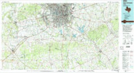
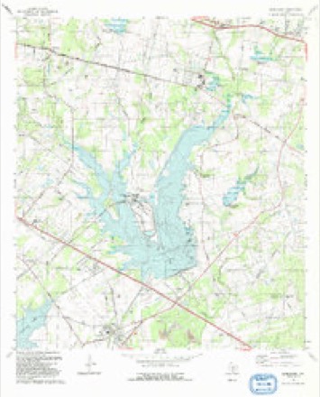
6 surveys from 11 printed sheetsMatched by testing this settlement's coordinate against the published boundary of every sheet in the United States Geological Survey's historical collection. Each opens the scanned sheet at the Survey.
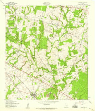
- 1953 USGS Elmendorf quadrangle1:24000
- 1954 USGS San Antonio quadrangle1:250000, 3 printings
- 1957 USGS San Antonio quadrangle1:250000
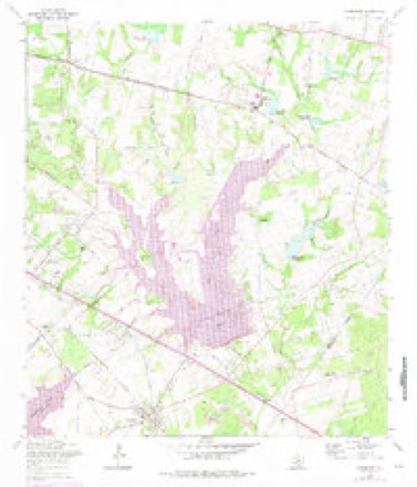
- 1967 USGS Elmendorf quadrangle1:24000, 2 printings
- 1985 USGS San Antonio quadrangle1:100000, 3 printings
- 1992 USGS Elmendorf quadrangle1:24000
Fires near this place
80 since 2006Regional context, not property-specific evidence. The federal wildfire occurrence database lists 80 fires within 5 miles of Elmendorf between 2006 and 2015, burning about 1,261 acres in total. 1 started naturally. 8 were recorded as arson. Distance is straight-line from the map coordinates, so a fire counted here may appear on a neighbouring settlement's page as well.
| Reported cause | Fires |
|---|---|
| Debris and open burning | 37 |
| Missing data/not specified/undetermined | 27 |
| Arson/incendiarism | 8 |
| Equipment and vehicle use | 5 |
| Recreation and ceremony | 1 |
| Power generation/transmission/distribution | 1 |
| Natural | 1 |
The most recent of them, most recent first, with the day each was reported and the service that recorded it.
| Date | Cause | Size | Reported by | Name on the report |
|---|---|---|---|---|
| 3 September 2012 | Debris and open burning | 1.0 acres | Texas A & M Forest Service | GRASS FIRE |
| 18 September 2006 | Missing data/not specified/undetermined | 2.0 acres | Texas A & M Forest Service | not named |
| 14 September 2011 | Missing data/not specified/undetermined | 20 acres | Texas A & M Forest Service | GRASS FIRE |
| 9 August 2012 | Arson/incendiarism | 2.0 acres | Texas A & M Forest Service | GRASS FIRE |
| 8 August 2013 | Debris and open burning | under an acre | Texas A & M Forest Service | RIELEY |
| 30 August 2012 | Debris and open burning | 1.0 acres | Texas A & M Forest Service | GRASS FIRE |
| 28 August 2010 | Equipment and vehicle use | 10 acres | Texas A & M Forest Service | 10-14497 |
| 27 August 2012 | Debris and open burning | 1.0 acres | Texas A & M Forest Service | GRASS FIRE |
Settlements close enough to share some of these fires:
Mines and quarries near this place
10 of 17 shownRegional context, not property-specific evidence. The federal mineral resources record lists 17 workings within 5 miles of Elmendorf: 9 producers, 7 past producers, 1 unknown. 9 still produce. What was taken out: Clay, Sand and Gravel, Construction. Distance is straight-line from the map coordinates, so a quarry counted here may appear on a neighbouring settlement's page as well.
| Where | Site | Commodity | Status | Recorded |
|---|---|---|---|---|
| Unnamed Pit | Sand and Gravel, Construction | Producer | Sand | |
| W S Dickey Clay Sand Pit | Sand and Gravel, Construction | Producer | ||
| Alamo Clay Products Co Inc | Clay | Unknown | ||
| Alamo Pits | Clay | Producer | Sedimentary | |
| Barnhart Pit | Clay | Producer | ||
| Bell Pit | Clay | Past Producer | Sedimentary | |
| Bernhardt Pit | Clay | Producer | Sedimentary | |
| Borrego Pit | Clay | Past Producer | Clay | |
| Borrego Pits | Clay | Past Producer | Clay | |
| Bruce Pit | Clay | Producer | Sedimentary |
Storms near this place
11 since 1995Regional context, not property-specific evidence. The National Weather Service names Elmendorf in 11 storm reports between 1995 and 2016: 5 hail, 3 flash flood, 2 flood, 1 thunderstorm wind. The reports record 2 deaths. Each account below is quoted exactly as the forecast office filed it, from the NOAA Storm Events Database, and each date opens the federal record of that event.
| When | Event | Place named | Harm | What the report says |
|---|---|---|---|---|
| August 2007 | Flash Flood | Elmendorf | 2 killed, $15,000,000 | The area of extremely heavy rainfall associated with the remains of Tropical Storm Erin continued to spread northwestward across Bexar County, with a general 4 to 5 inch rain over the county. Totals of up to 8 inches were reported at several locations in the south and west parts of San Antonio as well as between Helotes and Leon Springs. By 1400 CST, most roads in the northwest part of the county were closed. By 1530 CST that afternoon, more than 39 high water rescues were reportedly underway in San Antonio. Water was almost waist-deep at Southcross Boulevard in San Antonio. Floodwaters were so deep and running so swiftly at the San Antonio High School West Campus that they collapsed a masonry wall and filled the school with almost five feet of muddy water. Hallways were flooded, and desks, computers and boxes were tossed and thrown together. The students were moved to classrooms in another building across the district. A young man was driving to work in the mid afternoon of August 16 when his vehicle struck a guardrail on Southwest Military Drive and was knocked into Six Mile Creek near South Flores Street. The young man called his family to say he had had an accident, then exited the vehicle but drowned as he attempted to move to higher ground. Near midnight a young woman was driving with three friends and a baby near North Star Mall when she accidentally drove her sport utility vehicle into deeper water where it was slammed against a bridge and then was swept into a drainage ditch. The three other adults in the vehicle were able to get baby out of the vehicle through the window and escape. But when the three looked back for the driver, she was gone. Her body was found later by emergency responders when the water receded. |
| August 2002 | Thunderstorm Wind | Elmendorf | $100,000 | Severe thunderstorm winds struck the small community of Sandy Oaks in south Bexar County, just southwest of Elmendorf. The winds estimated to have gusted to near 70 knots by an NWS survey of the damage, knocked down several trees and caused minor damage to about 15 mobile homes. Although people were in some of the mobile homes at the time, there were no injuries. |
| December 2002 | Hail | Elmendorf | $50,000 | Spotty damage was reported to vehicles and to the roofs and windows of buildings in the Calaveras Lake area. |
| July 2007 | Flash Flood | Elmendorf | - | Between 2 and 4 inches of rain fell in southern Guadalupe County and southeastern Bexar County, with up to 5 inches near St. Hedwig. Numerous roads were closed in southeast Bexar County, including FM1346, FM1518. |
| July 2007 | Flood | Elmendorf | - | The San Antonio River at Elmendorf crested at 44.6 ft on 07/26 at 0030cst, where flood stage is 35 ft. |
| June 2007 | Flood | Elmendorf | - | The San Antonio River at Elmendorf crested at 41.0 feet at 1230cst on June 29, where 35 feet is flood stage. |
| October 2004 | Flash Flood | Elmendorf | - | Heavy rainfall of up to 3 inches around Elmendorf caused flash flooding that closed FM1303 through the early morning hours. |
| April 2016 | Hail | Elmendorf | - | no account filed |
| February 2003 | Hail | Elmendorf | - | no account filed |
| February 1998 | Hail | Elmendorf | - | no account filed |
| May 1995 | Hail | Elmendorf | - | no account filed |
Nearest settlements
The eight closest, with where each one stands in the county. Distances are straight-line, computed from the Geographic Names Information System coordinates.
| Map | Place | Distance | Sheets |
|---|---|---|---|
| Hilltop | 5.2 miles | 12 | |
| Southton | 5.3 miles | 12 | |
| Sandy Oaks | 6.5 miles | 10 | |
| Losoya | 6.7 miles | 10 | |
| Buena Vista | 6.9 miles | 12 | |
| Boldtville | 7.6 miles | 11 | |
| Earle | 8.4 miles | 12 | |
| Bergs Mill | 8.4 miles | 12 |
Elsewhere
Matched on this settlement's Geographic Names Information System number rather than its name, so it cannot be a different place of the same name in another state.
| Wikipedia article on Elmendorf | An encyclopaedic summary. Its text is share-alike, so it is linked here rather than copied. |
| Wikidata item Q972273 | The structured record the population and elevation above come from. Public domain (CC0). |
Provenance
This settlement is recorded in the Geographic Names Information System as feature 1356993. The sheet list is computed by point-in-boundary test against the United States Geological Survey's historical topographic inventory. Both are works of the United States government and carry no copyright under 17 U.S.C. 105.
Wildfire. Short, Karen C. 2022. Spatial wildfire occurrence data for the United States, 1992-2020 [FPA_FOD_20221014]. 6th Edition. Fort Collins, CO: Forest Service Research Data Archive. https://doi.org/10.2737/RDS-2013-0009.6 Collected with United States Government funding and usable without additional permissions or fees.
Mines and quarries. USGS Mineral Resources Data System (MRDS) https://mrdata.usgs.gov/mrds/ A work of the United States government, no copyright under 17 U.S.C. 105.
Storms. NOAA National Centers for Environmental Information, Storm Events Database https://www.ncei.noaa.gov/stormevents/ A work of the United States government, no copyright under 17 U.S.C. 105. Narratives are quoted verbatim from the National Weather Service report and are not edited or summarised.