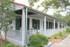
Block
BlockFrom the record
161 National Register listings published here, 8 of them National Historic Landmarks.
Sources: the county history on the Internet Archive · the National Register database, National Park Service
103 topographic sheets and 31 fire insurance atlases across 1 place.
161 National Register listings published here, 8 of them National Historic Landmarks.
Sources: the county history on the Internet Archive · the National Register database, National Park Service
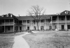
Taken for the Office of War Information and the Farm Security Administration, who photographed the country between 1935 and 1944. Works of United States government photographers, with no known restriction on use. Each opens its catalogue record.






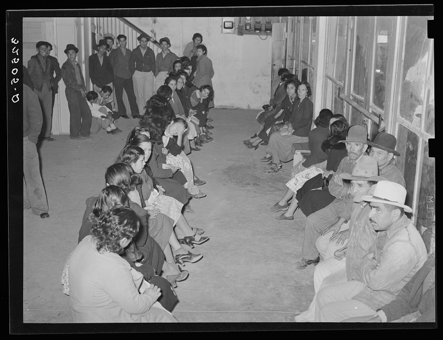











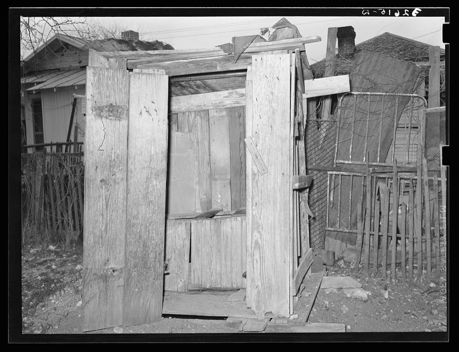

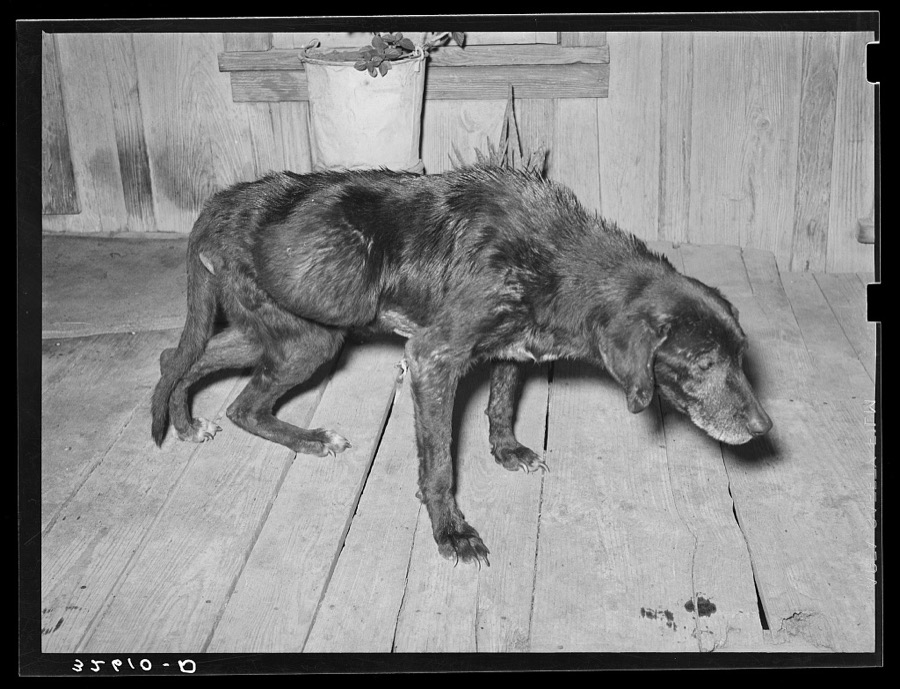

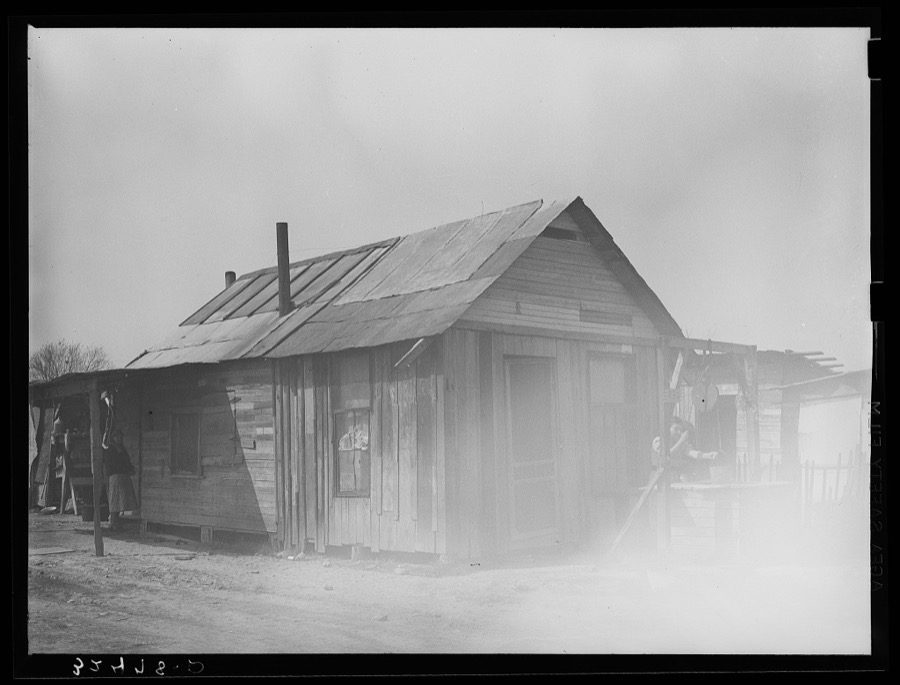


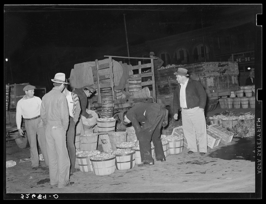








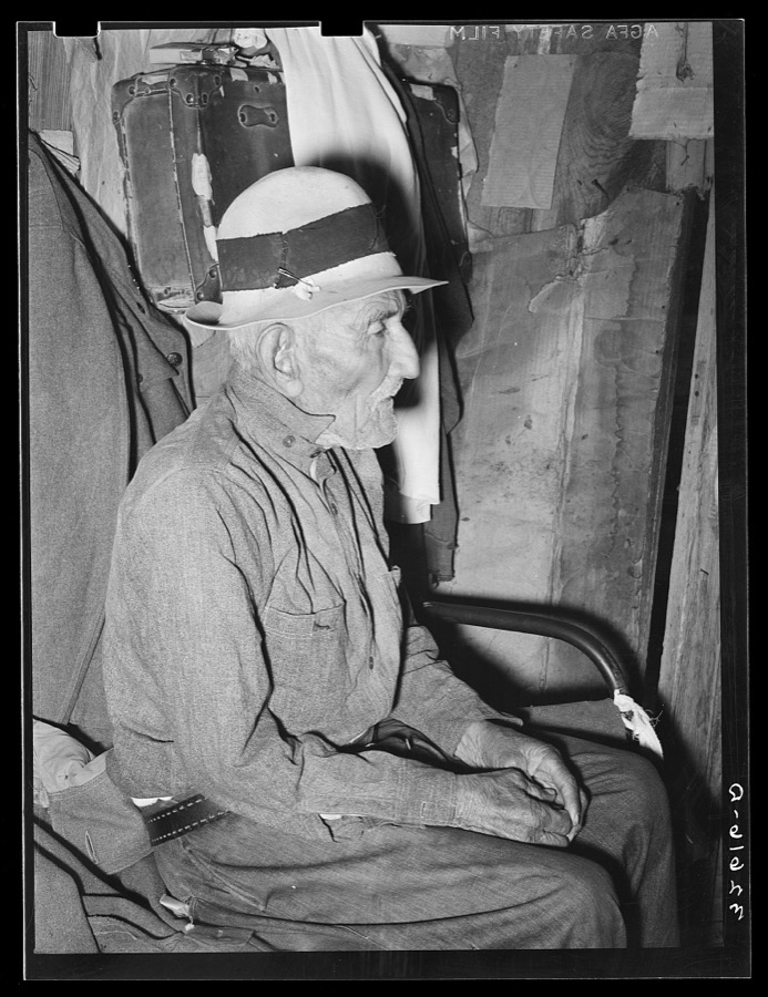



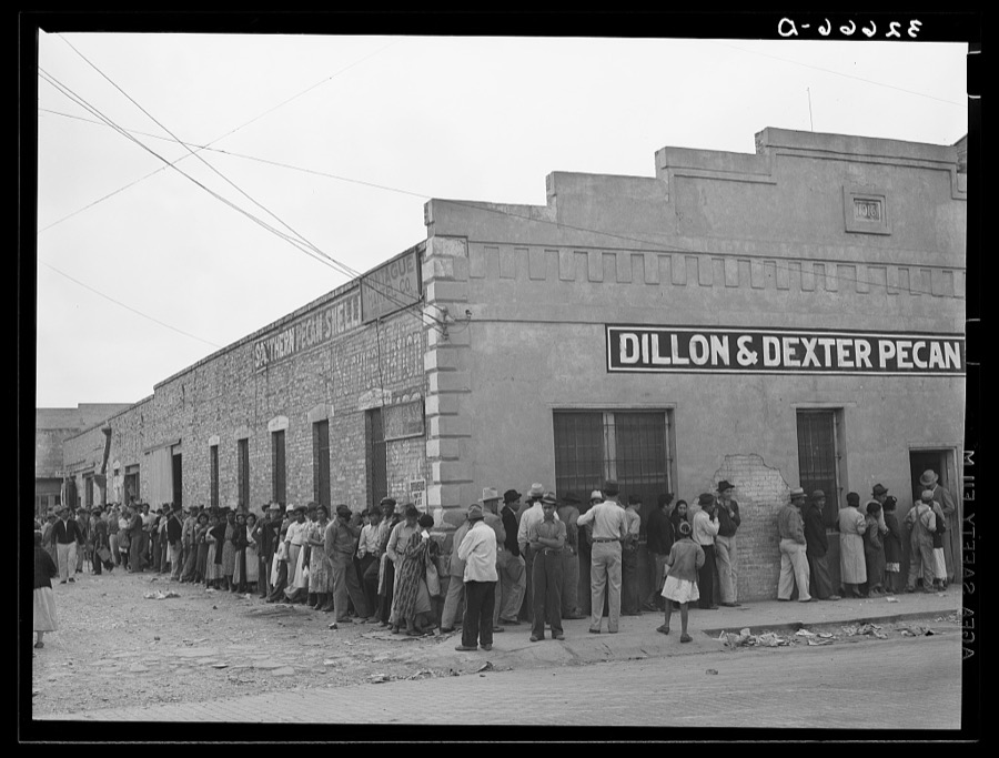

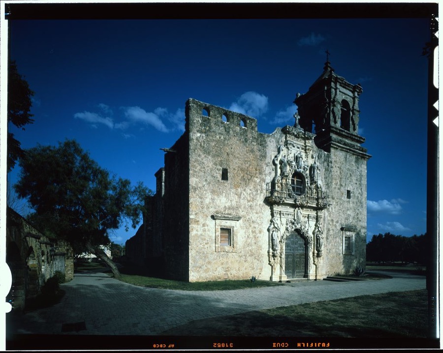
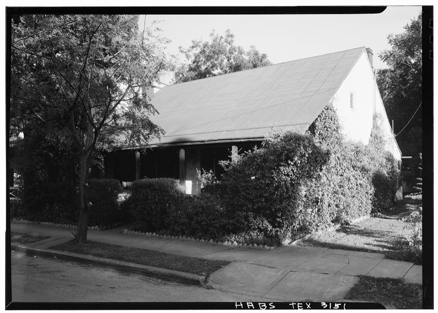
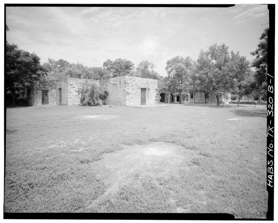
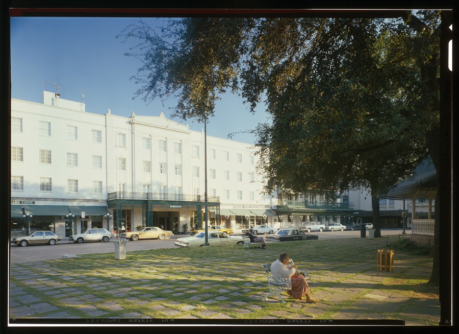
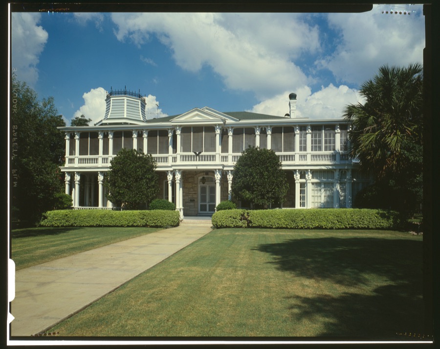
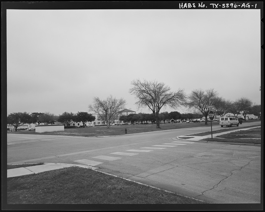
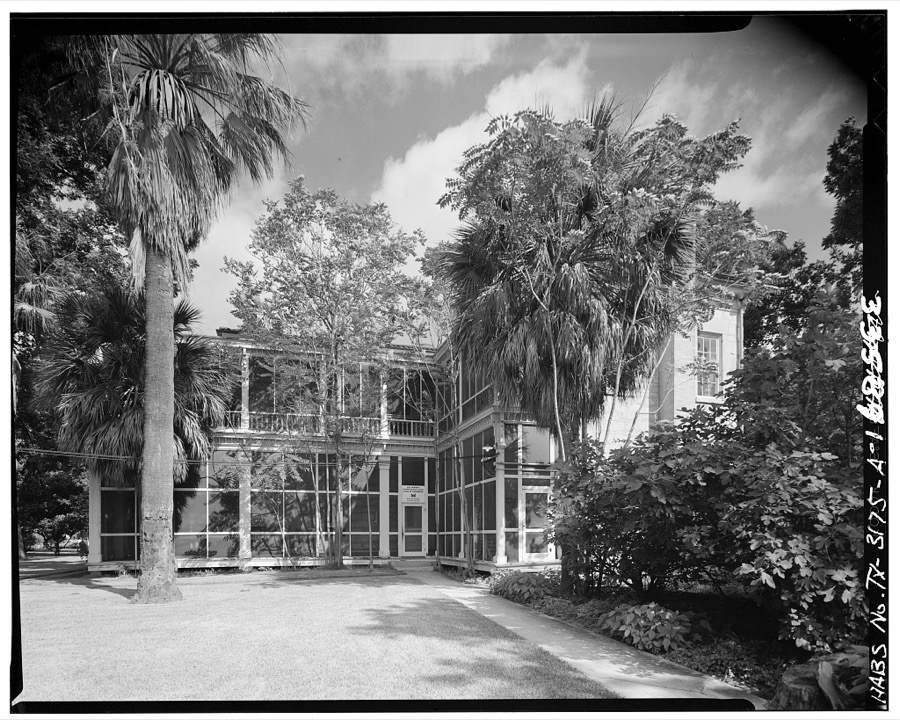
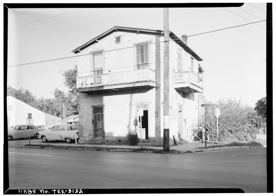
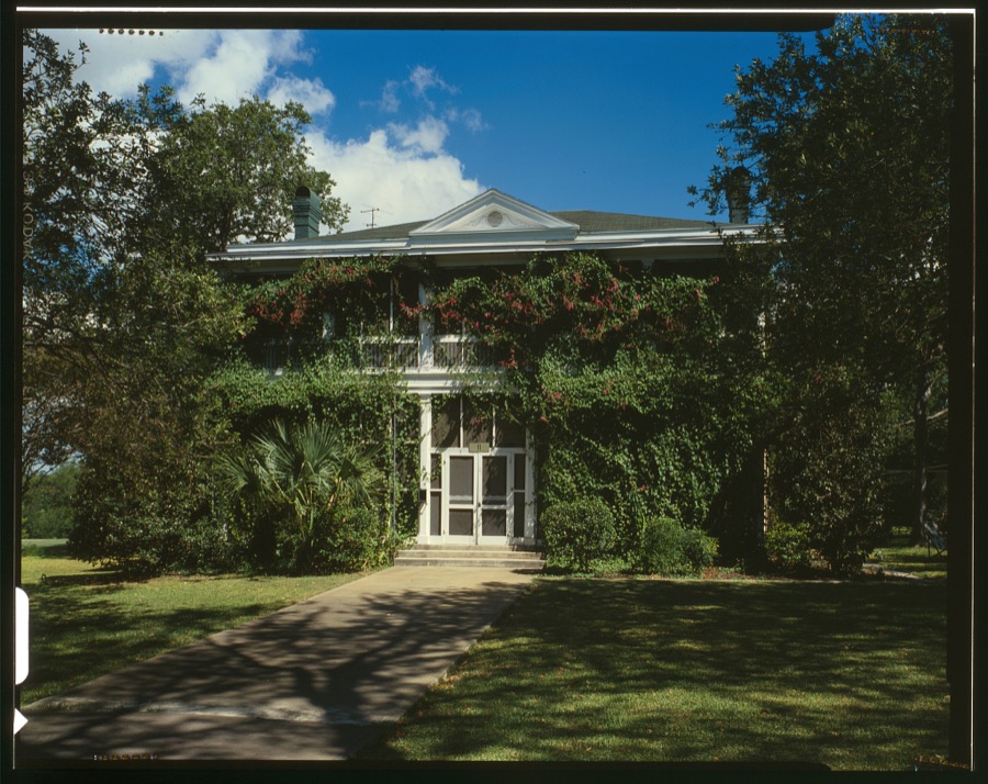
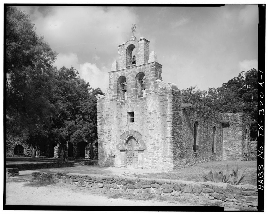
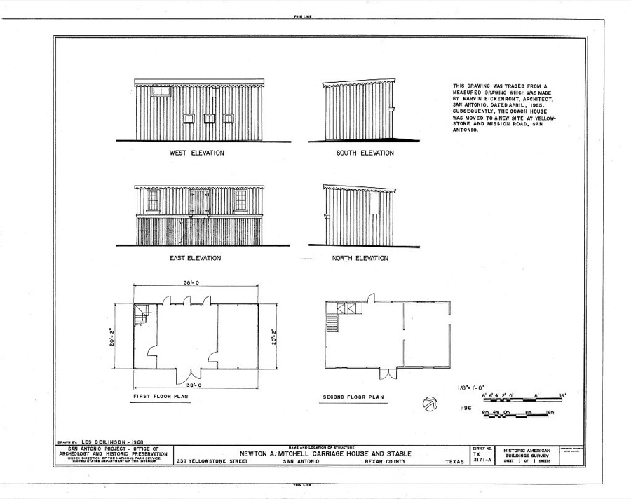
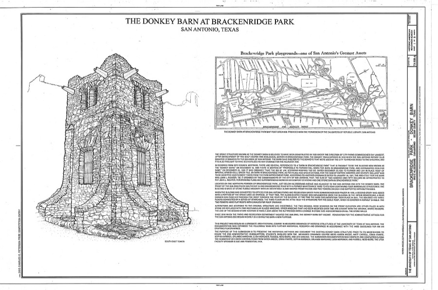
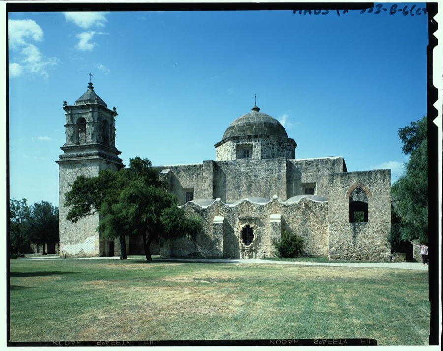
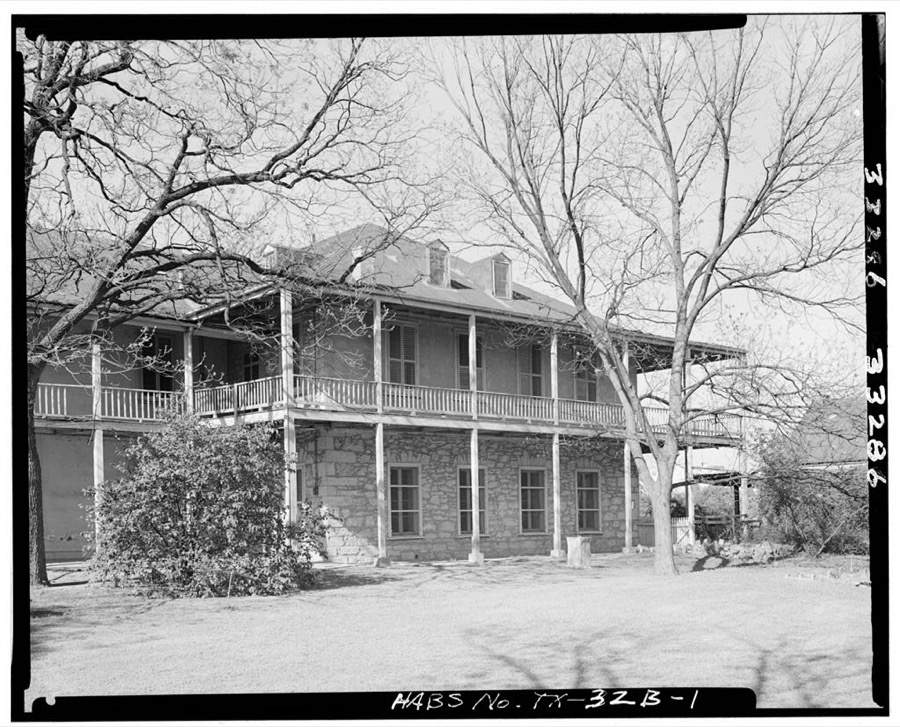
Every property in this county listed on the National Register of Historic Places, with the year it was listed and the federal nomination document.
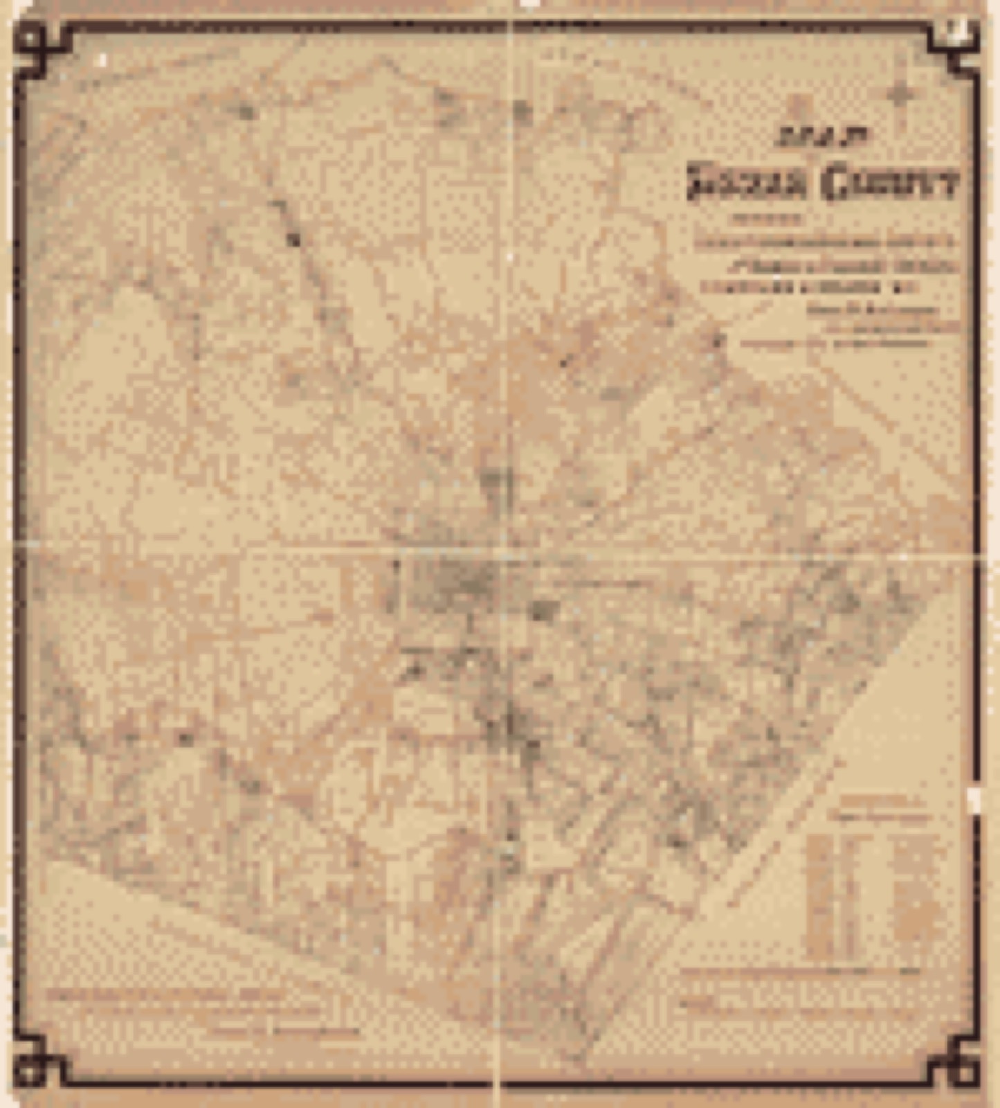
Drawn when these were printed as single large sheets: the town seen from the air, and the county divided into its farms with every owner named. Each opens the original at the Library of Congress.

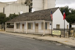
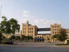
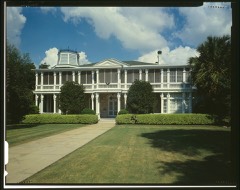
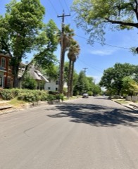
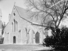
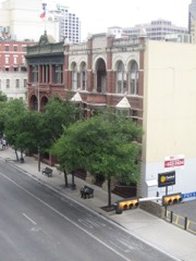
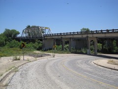
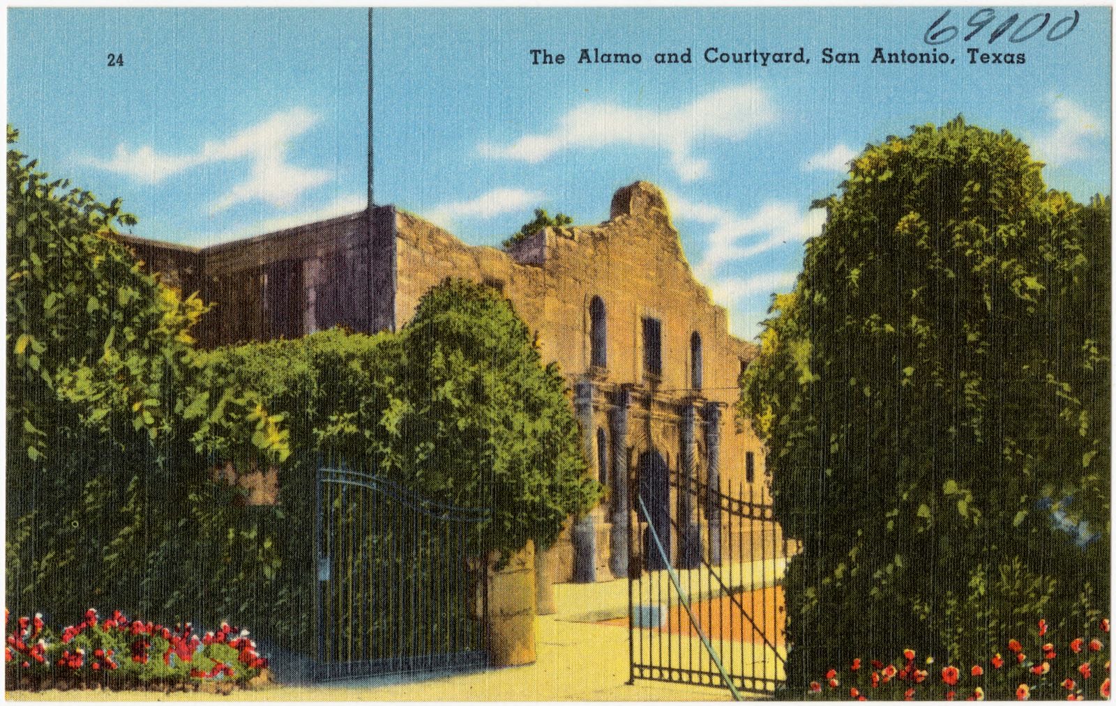
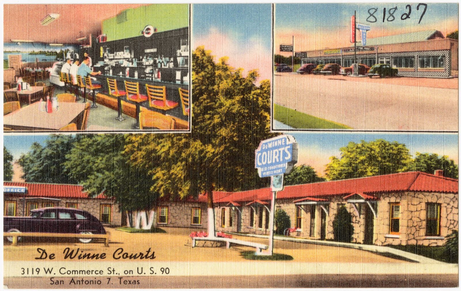
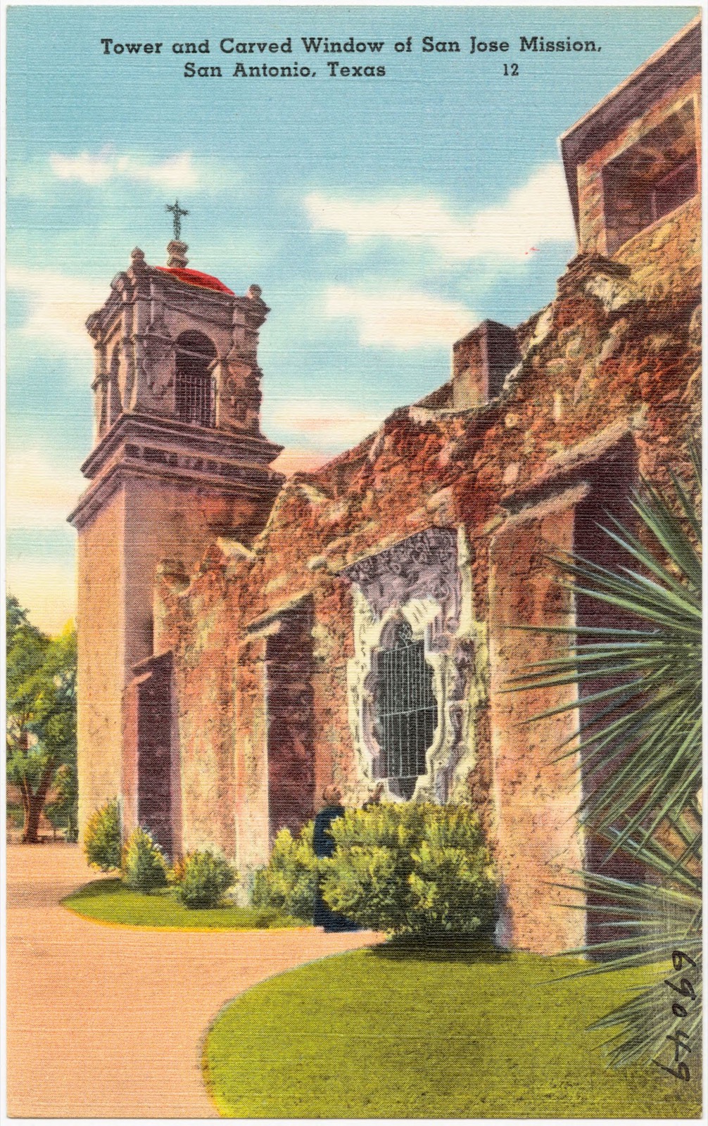
Selected from the Digital Public Library of America's 84 image records catalogued for this county. Every one shown here carries a public-domain status or a licence that permits reuse on a site that carries advertising; non-commercial, share-alike and restricted images are excluded. The selection is spread across the county's towns (at most eight per town), so no single institution's bulk upload crowds out the rest. Each opens the holding library's record, and the complete set at the Digital Public Library of America is one click away.














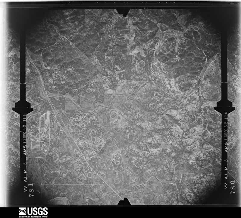
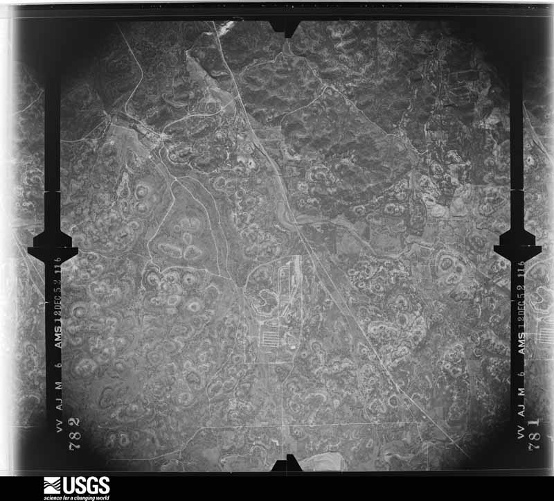
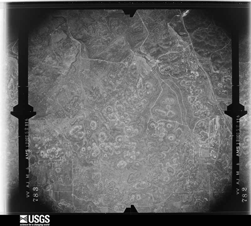
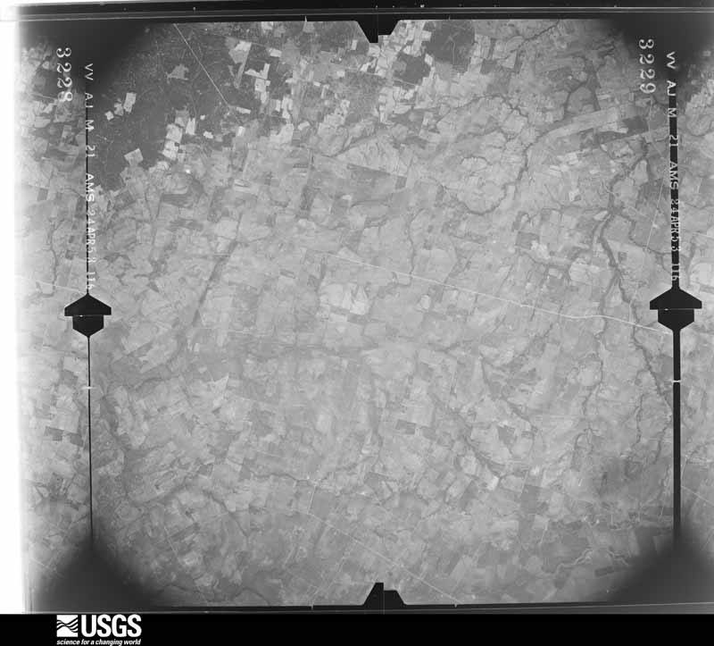
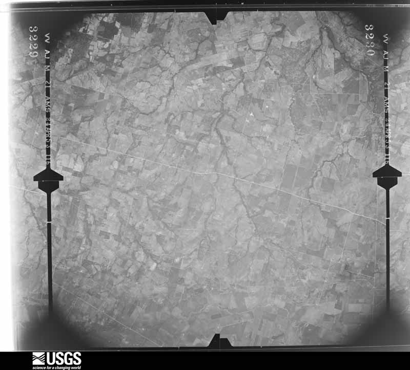
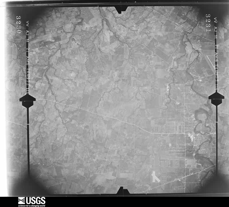
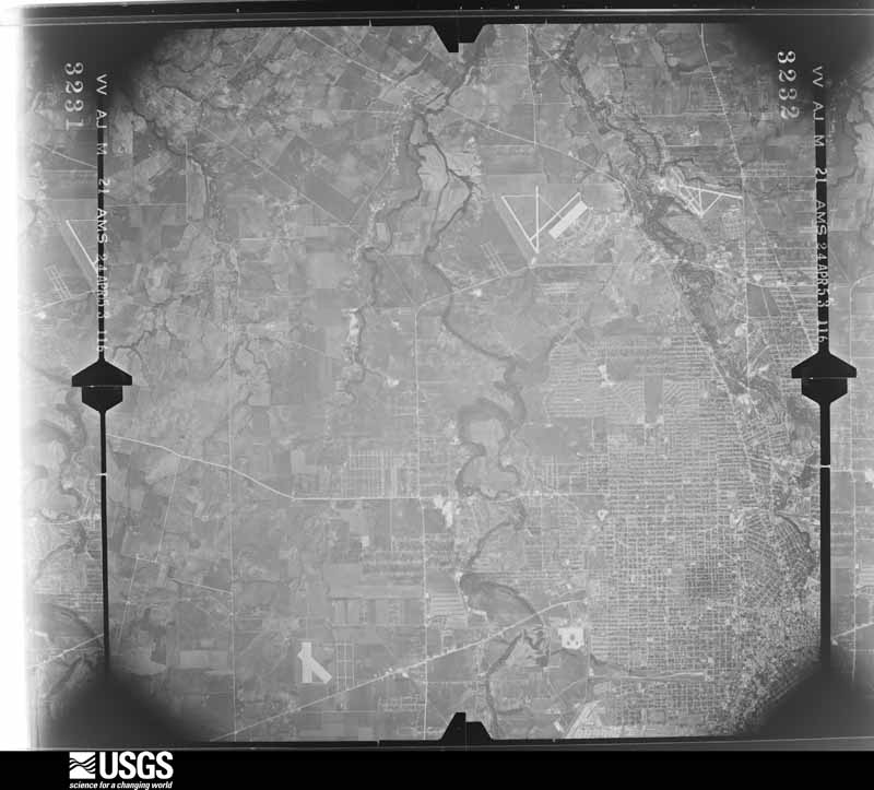
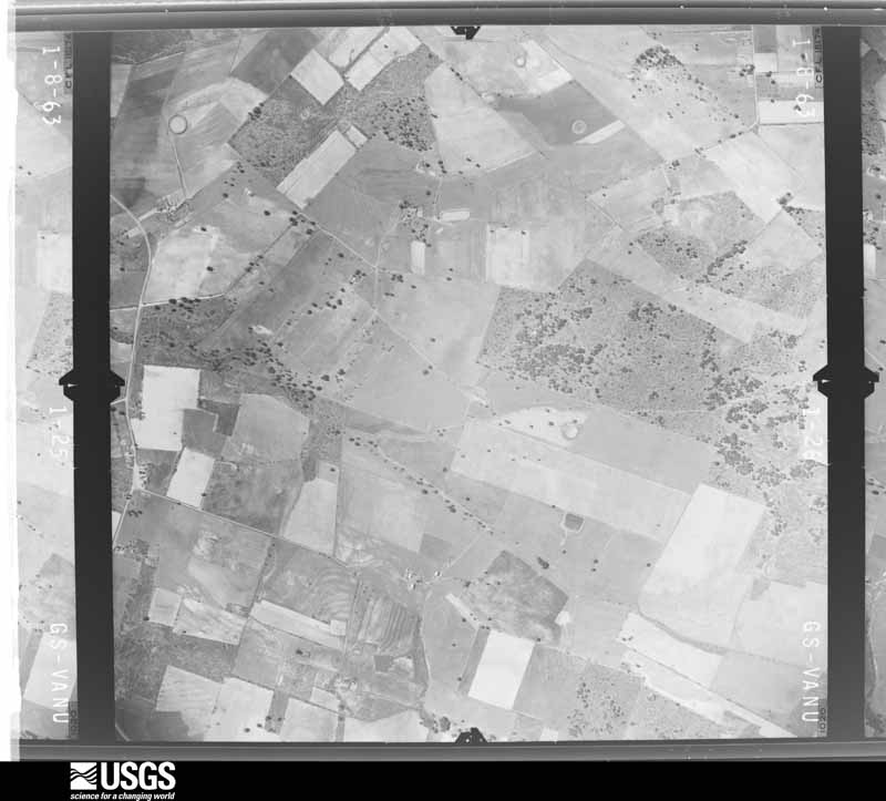
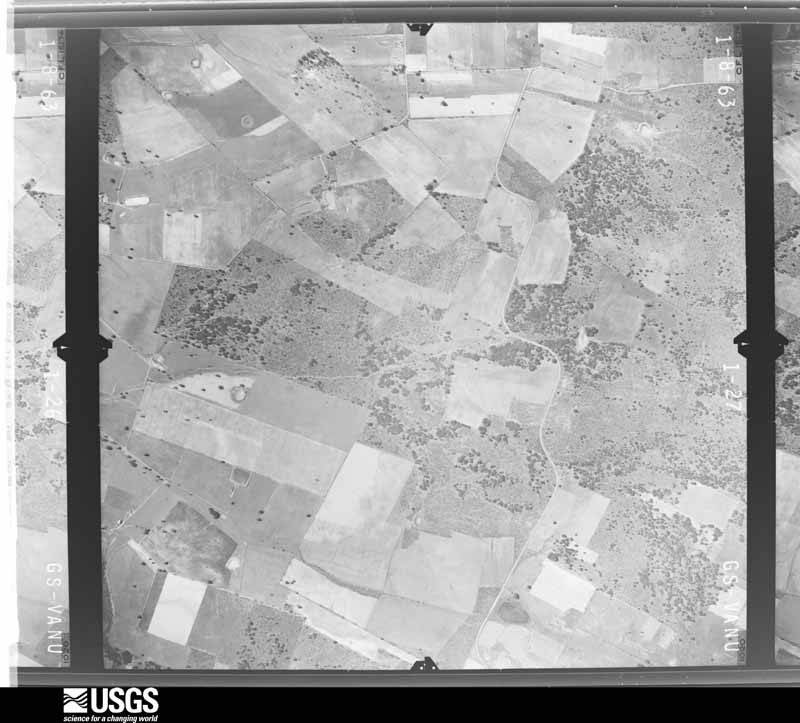
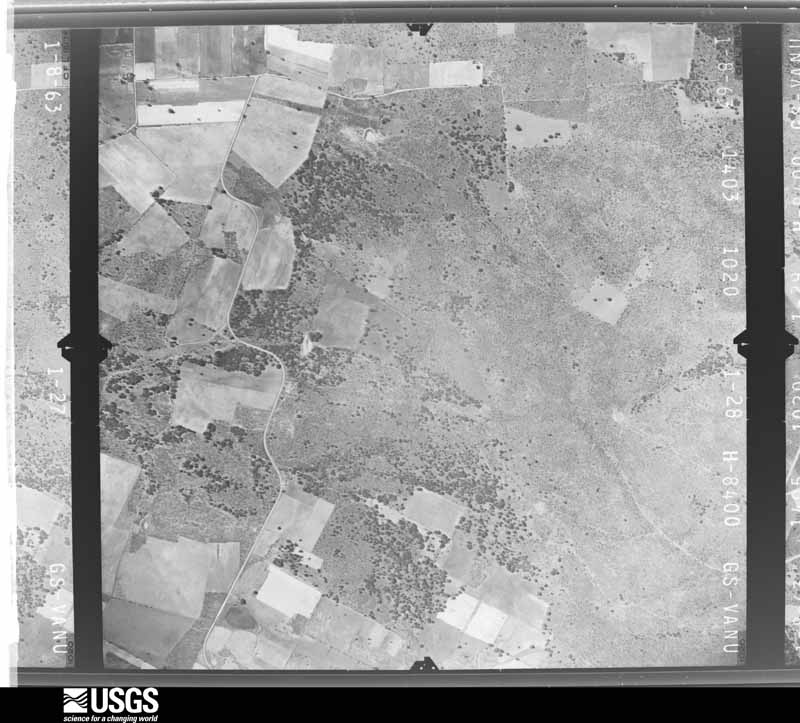
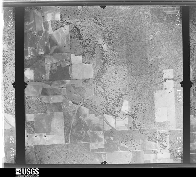
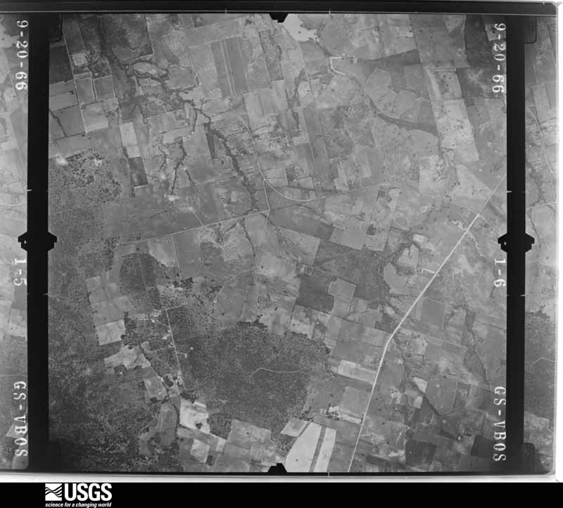
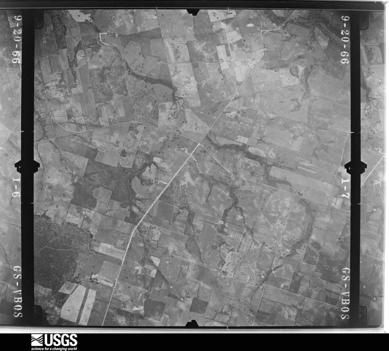
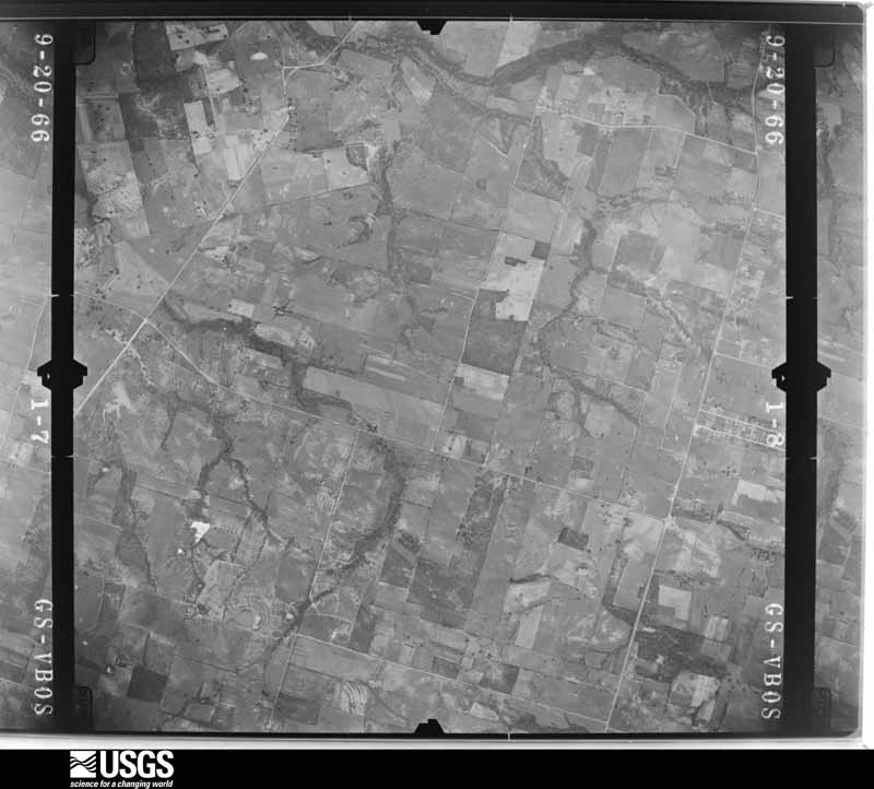
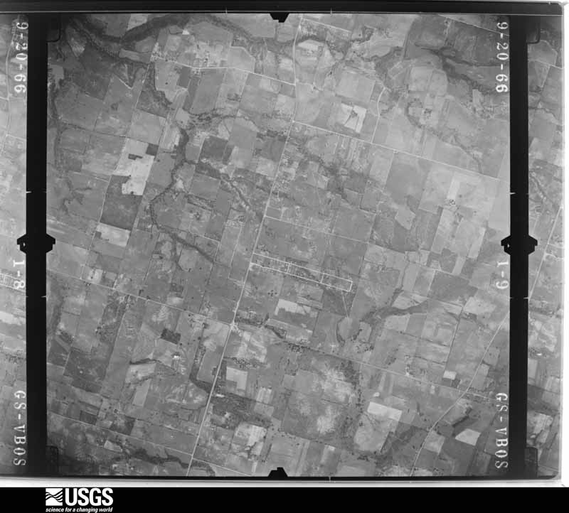
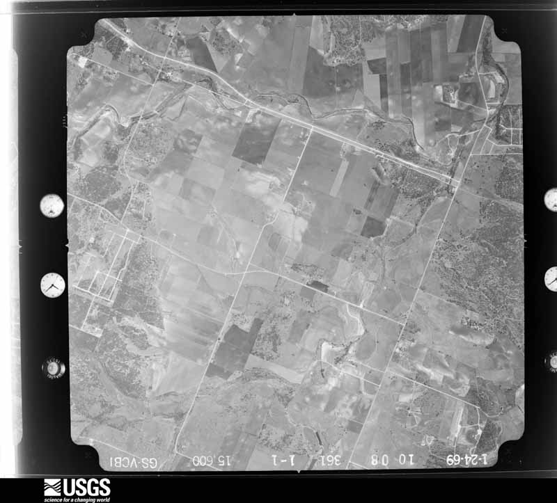
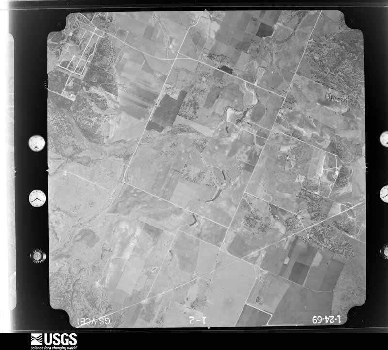
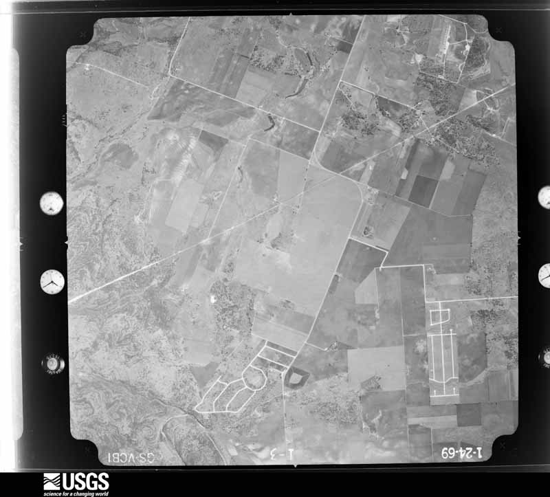
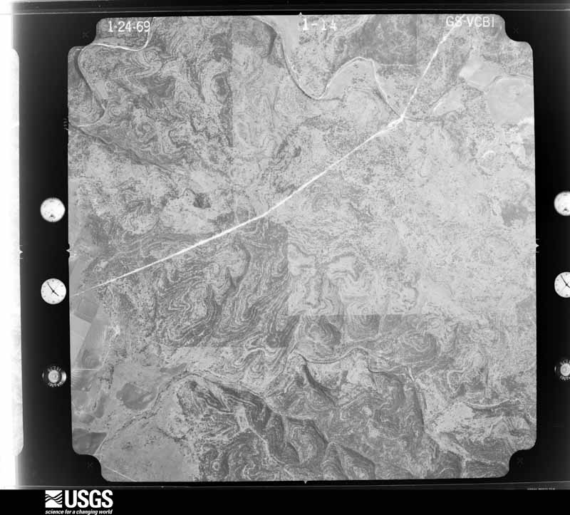
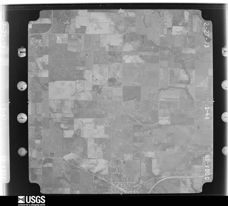
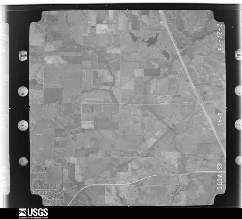
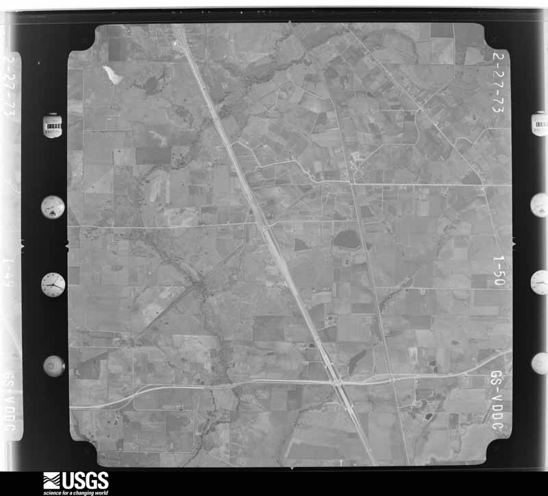
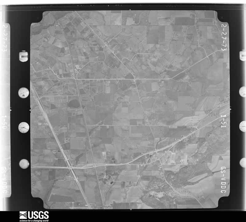
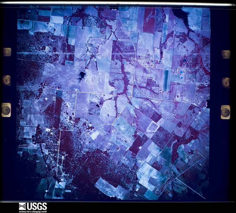
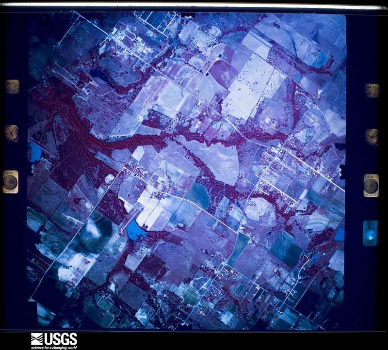
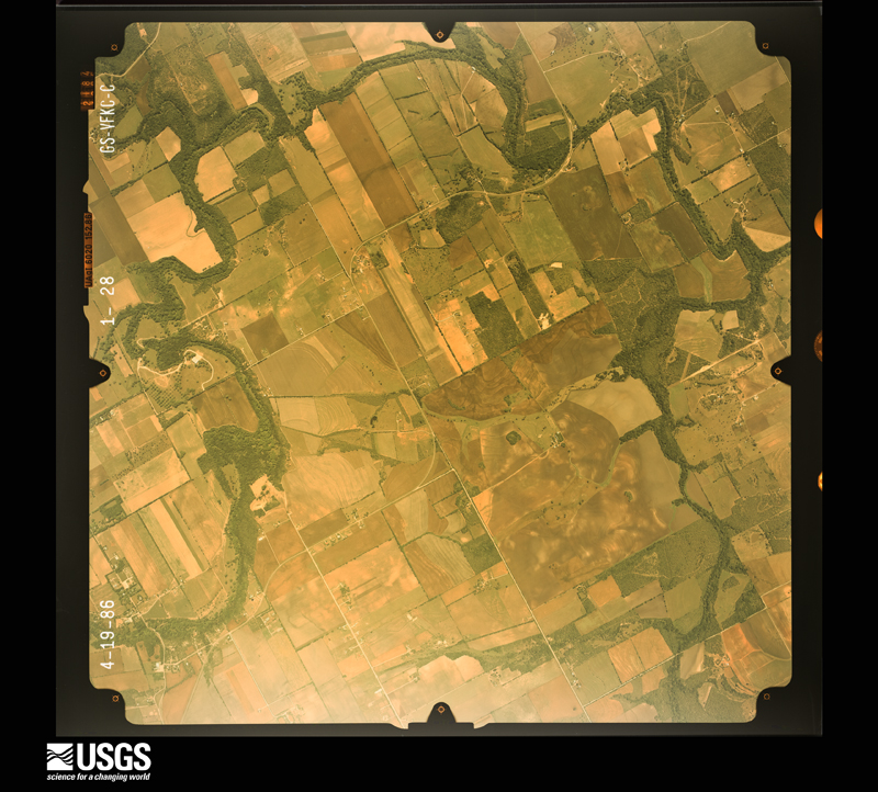
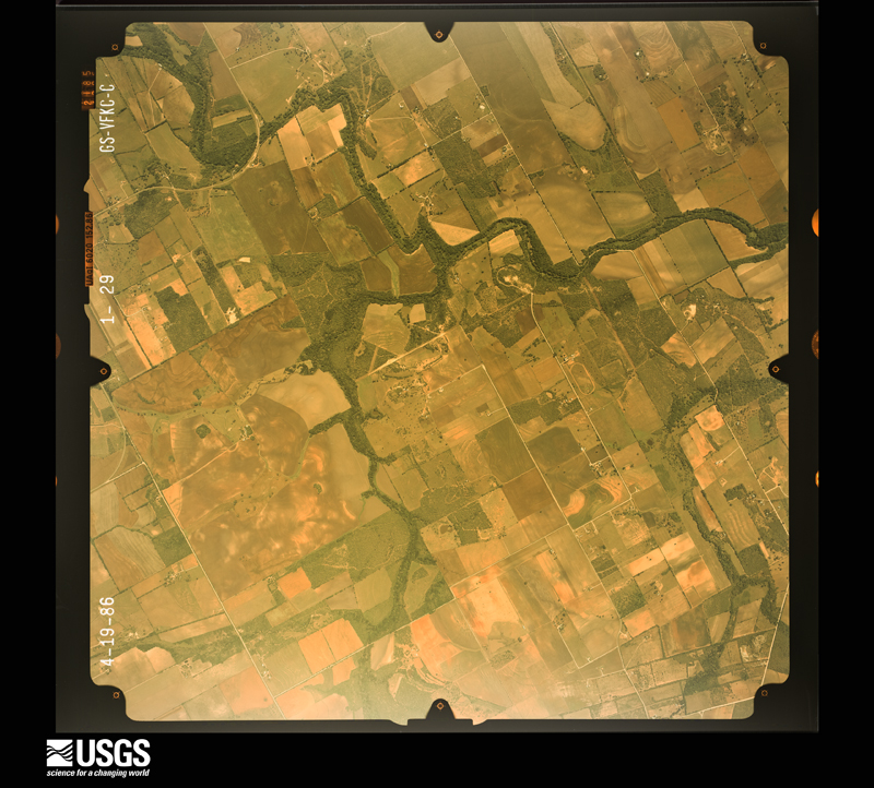
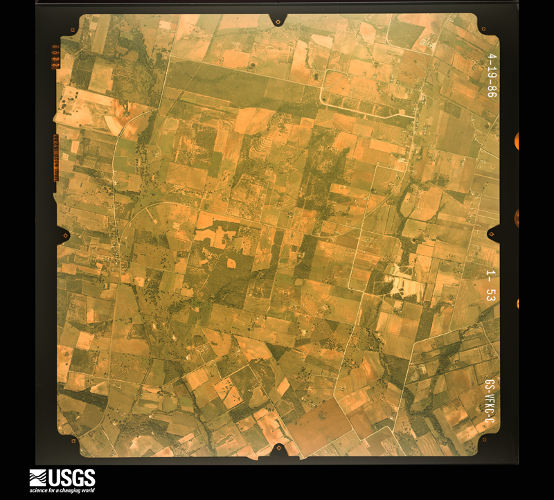
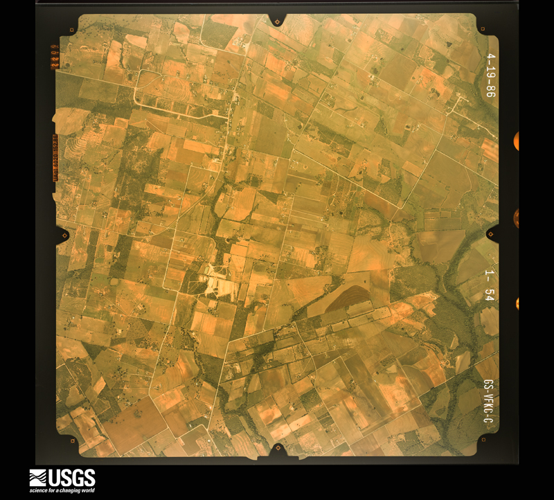
Flown by the U.S. Geological Survey between 1937 and 1989, the Aerial Photo Single Frames collection is the definitive mid-century view of the land: fields, roads and rivers as the camera saw them. The Survey holds 2,029 frames inside the rectangle that bounds this county; the 31 frames below were taken over the county itself, chosen across the decades of flights (at most four a year from that rectangle), so one flight cannot crowd out the rest. The full set is free to browse and download at EarthExplorer under the dataset Aerial Photo Single Frames.


The thermometers that kept this county's weather, and the gages that measured the flow of its streams, as the federal records hold them. The extremes below are measured values from those records, not estimates.
Who lived here in 1950, one enumeration district at a time, as the Census Bureau described each district. Each row opens its official National Archives result, with Population Schedules and ED Maps available there.
Every wildfire the federal occurrence database records inside this county: 1,195 of them, burning about 11,169 acres. 2 started naturally and 25 were recorded as arson. Each settlement page carries the fires within five miles of it.
| Reported cause | Fires |
|---|---|
| Missing data/not specified/undetermined | 569 |
| Debris and open burning | 391 |
| Equipment and vehicle use | 92 |
| Smoking | 40 |
| Misuse of fire by a minor | 32 |
| Arson/incendiarism | 25 |
| Power generation/transmission/distribution | 21 |
| Recreation and ceremony | 18 |
| Railroad operations and maintenance | 5 |
| Natural | 2 |
The five largest, by the area the report gives. Two of them were set deliberately.
| Date | Cause | Size | Reported by | Name on the report |
|---|---|---|---|---|
| 9 September 2011 | Power generation/transmission/distribution | 1,120 acres | Texas A & M Forest Service | PAT GROSS FIRE |
| 24 December 2005 | Missing data/not specified/undetermined | 750 acres | Texas A & M Forest Service | not named |
| 22 December 2007 | Arson/incendiarism | 700 acres | Texas A & M Forest Service | not named |
| 25 December 2012 | Arson/incendiarism | 600 acres | Texas A & M Forest Service | GRAYTOWN FIRE |
| 4 August 2009 | Equipment and vehicle use | 440 acres | Texas A & M Forest Service | BLANCO ROAD - 67 |
| 7 January 2008 | Equipment and vehicle use | 300 acres | Texas A & M Forest Service | not named |
| 6 September 2011 | Power generation/transmission/distribution | 290 acres | Texas A & M Forest Service | DIETZ-ELKHORN FIRE |
| 25 February 2013 | Missing data/not specified/undetermined | 250 acres | Texas A & M Forest Service | OLD PLEASANTON RD FIRE |
Every settlement page carries the fires within five miles of it - see the settlement index below.
The NOAA Storm Events Database holds 1,422 reports for this county, causing 57 deaths, 753 injuries and about $1,618,326,500 in recorded property damage. Each settlement page carries the reports that name it.
| Kind of event | Reports |
|---|---|
| Hail | 618 |
| Flash Flood | 400 |
| Thunderstorm Wind | 300 |
| Tornado | 71 |
| Flood | 17 |
| Lightning | 8 |
| Funnel Cloud | 4 |
| Heavy Rain | 4 |
The most serious of them, by death, then injury, then recorded damage. The accounts are quoted exactly as the forecast office filed them.
| When | Event | Place named | Harm | What the report says |
|---|---|---|---|---|
| October 1998 | Flash Flood | Countywide | 11 killed, 600 hurt, $8,000,000 | no account filed |
| June 2025 | Flash Flood | Longhorn | 11 killed, $23,000,000 | Training of thunderstorms with intense rainfall rates produced a swath of 3-8 inches of rain across San Antonio. Several vehicles were swept off the Loop 410 access road into Beitel Creek. There were 11 fatalities in this creek and the surrounding area. Ten people were rescued from the water, and two others were able to get to safety on their own. Damage from the flooding totaled $23 million across Bexar County. |
| July 2002 | Flash Flood | Countywide | 4 killed | Additional 2 to 3 inch totals fell across Bexar County with isolated totals of up to 6 inches in the north central part of the city of San Antonio. Flash flooding developed very quickly and was countywide in its coverage. Small streams and creeks were also flash flooding. Officials reported more than 230 high water rescues in San Antonio from the night of July 1 through noon on July 2. Damage was reported to numerous roads and bridges across the county. An elderly couple apparently attempted to drive home from a restaurant during the severe flash flooding late Monday evening, despite the pleas of the restaurant patrons. Their bodies were recovered near 0930CST on July 4 in their submerged automobile in Olmos Creek. A young man and his friend were playing near swollen Apache Creek when both were swept into the creek on the afternoon of July 1. The two were rescued and the friend recovered quickly, but the first young man slipped into a coma. He died on July 5 after being removed from life support. The body of a fourth victim was found in a drainage pipe by a city public work crew while cleaning debris on the afternoon of July 2. He had apparently drowned during the evening of July 1 and the body had been swept into the pipe. |
| April 1953 | Tornado (F4) | not stated | 2 killed, 15 hurt | no account filed |
| August 2007 | Flash Flood | Elmendorf | 2 killed, $15,000,000 | The area of extremely heavy rainfall associated with the remains of Tropical Storm Erin continued to spread northwestward across Bexar County, with a general 4 to 5 inch rain over the county. Totals of up to 8 inches were reported at several locations in the south and west parts of San Antonio as well as between Helotes and Leon Springs. By 1400 CST, most roads in the northwest part of the county were closed. By 1530 CST that afternoon, more than 39 high water rescues were reportedly underway in San Antonio. Water was almost waist-deep at Southcross Boulevard in San Antonio. Floodwaters were so deep and running so swiftly at the San Antonio High School West Campus that they collapsed a masonry wall and filled the school with almost five feet of muddy water. Hallways were flooded, and desks, computers and boxes were tossed and thrown together. The students were moved to classrooms in another building across the district. A young man was driving to work in the mid afternoon of August 16 when his vehicle struck a guardrail on Southwest Military Drive and was knocked into Six Mile Creek near South Flores Street. The young man called his family to say he had had an accident, then exited the vehicle but drowned as he attempted to move to higher ground. Near midnight a young woman was driving with three friends and a baby near North Star Mall when she accidentally drove her sport utility vehicle into deeper water where it was slammed against a bridge and then was swept into a drainage ditch. The three other adults in the vehicle were able to get baby out of the vehicle through the window and escape. But when the three looked back for the driver, she was gone. Her body was found later by emergency responders when the water receded. |
| August 2025 | Flash Flood | Sat Twin Oaks Arpt | 2 killed | Thunderstorms produced heavy rain that led to flash flooding. The bodies of two homeless individuals were recovered from Salado Creek near Maltsberger Ln. in northern San Antonio. Law enforcement officials believe they were swept away from a homeless encampment in a drainage channel near the creek. |
| October 2021 | Flash Flood | Schemersville | 2 killed | Several vehicles were swept off N Graytown Road at a low water crossing. While several persons were successfully rescued, two persons lost their lives including a 5 year old female and a 52 year old female. |
| May 2013 | Flash Flood | (Rnd)Randolph Afb Sa | 2 killed | Thunderstorms produced heavy rain that caused flash flooding in and around San Antonio and Bexar County. There was record rainfall in the San Antonio area with the San Antonio International Airport recording 9.87 inches of rain (2nd highest 24 hr total on record) and CoCoRAHS observers reporting over 11 inches. Most of the rain fell in about six hours with four inches in one hour between 6 and 7 AM. A USGS stream and rain gauge on Olmos Creek and Dresden Drive reported 2.58 inches in 15 min between 615 and 630 am. The gauge reported 6.13 inches in one hour, 9.46 inches in 2 hours, and totaled 15.31 inches in 5 hours. A 24hr total at this gauge was 17 inches of rain. This led to massive flooding in the Olmos Basin/Creek just inside Loop 410 near the Quarry. Most of the flooding across the city was in north central and northwest San Antonio along and just side Loop 410. This rain came a day after another heavy rain event with parts of the city receiving over two inches. This all led to major flooding with Olmos Creek, the Medina River, Leon Creek, the San Antonio River, and Salado Creek all reaching major flood stage. There were many roads closed including Hwy 281 at Olmos Creek which remained closed for several days. At 10 AM, there was a foot of water over Ingram and Callaghan Rds. San Antonio creeks and streams saw big rises in their levels which led to additional flooding down steam in the south portion of Bexar County. Areas that were hit the hardest included the Espada Road area near the San Antonio River and Loop 410 intersection. A mobile home park on Plumnear Road off Leon Creek on the southwest side of the city was flooded out. Several hundred rescues and calls for rescue occurred during the morning of the 25th. Two fatalities occurred inside Bexar County. A woman was killed when her car was swept away in flood waters along Leon Creek at the 5800 Block of U.S Highway 90. Another woman was killed in her car when her car was swept away in the 400 Block of Rhapsody Drive about 730 am. In all the City of San Antonio and Bexar County Emergency Management agencies found over 350 impacted residences with 15 of those being destroyed and 27 suffering major damage. The other residences suffered minor damages. Most of the destroyed residences were in the Espada area along the San Antonio River in southeast Bexar County. |
| September 2013 | Lightning | Leon Vly | 1 killed, 2 hurt | An 8 year old boy was struck by lightning on the west side of San Antonio in the evening of Thursday September 5th. He, along with another boy, was in a backyard when the lightning strike occurred. The 8 year old was taken to the hospital in critical condition and died September 7th around noon. The other boy survived. |
| September 1988 | Tornado (F1) | not stated | 1 killed, 1 hurt, $2,500,000 | no account filed |
| September 2007 | Flash Flood | Helotes | 1 killed, 1 hurt | Up to 2 inches of rain fell over the northwestern part of the county. At around 1:00 AM a man and a woman were washed away in a four door sedan as they attempted to cross the Tower View Bridge on Scenic Loop Road which was in flood due to Helotes Creek. The man was later rescued with minor bruises to his arms and torso. The womans body was found less than a mile downstream at 3:19 PM. |
| May 1999 | Lightning | San Antonio | 1 killed, 1 hurt | Two men, one aged 46 and another aged 43, were closing up windows on a station wagon at the older man's home when the vehicle was struck by lightning. Both men were tossed away from the vehicle by the strike and were hospitalized. The older man died a few days later. |
| April 2026 | Flood | San Antonio | 1 killed | Thunderstorms produced heavy rain Monday and Monday night across the northeast side of San Antonio. Between 4 and 6 inches of rain occurred. This caused a quick rise into flood stage on Salado Creek early Tuesday morning. A 44 year old man was killed by the flood waters in the Salado Creek Greenway, near J Street Park. Authorities were not able to determine how the man got into the water, but was suspected of being homeless and living near the creek. |
| June 2025 | Flash Flood | Sat Twin Oaks Arpt | 1 killed | Training of thunderstorms with intense rainfall rates produced a swath of 3-8 inches of rain across San Antonio. A non-vehicle related fatality was reported near Wurzbach Pkwy and Salado Creek. The body was discovered on June 14th. The exact location of where this person went into the water is not known. |
| June 2025 | Flash Flood | (Skf)Kelly Afb San A | 1 killed | Training of thunderstorms with intense rainfall rates produced a swath of 3-8 inches of rain in San Antonio. A vehicle was swept into Leon Creek near Callaghan Rd. and Hwy 90 and the driver died. The vehicle was discovered on June 14th. |
| April 2022 | Heavy Rain | Sat Twin Oaks Arpt | 1 killed | A thunderstorm produced around one inch of rain in 30 minutes that filled a drainage ditch near the intersection of Hwy 281 and Bitters Rd. in northern San Antonio. A homeless man was camping in the ditch at the time and was washed away and drowned. |
| June 2019 | Lightning | Leon Spgs | 1 killed | Lightning struck a residence in the late afternoon hours while a roofer was delivering shingles to the residence near 27000 Bordelon Way in Bexar County. A male worker was struck by the lightning and was revived and taken to a local hospital in critical condition. The man later died in the hospital on July 13. |
| June 2016 | Flash Flood | San Antonio | 1 killed | Newspaper reports show that a body of a man was recovered near the 700 block of Camaron in San Pedro Creek. The body was recovered early on Friday morning but the man drowned early Thursday morning as he and a friend were skateboarding in the creek drainage tunnel. Heavy rain caused a surge a water down the tunnel and both men were swept down the creek. One person was able to save himself. |
| September 2015 | Heavy Rain | Cementville | 1 killed | Three homeless men were staying under a culvert on San Pedro. During brief heavy rains, two of the three men were able to swim out, but the third man was discovered drown near the 300 block of Barbara. |
| September 2015 | Heavy Rain | Woodlawn Lake | 1 killed | Four homeless were swept downstream in Martinez Creek as they were gathering their belongings in a heavy rain. One of the persons, a 48 year old male, drowned and was later recovered from the creek the next day. |
| May 2015 | Flash Flood | Southton | 1 killed | On Monday May 18th around 8:50 AM, a woman died in her Honda SUV after her vehicle was swept off a flooded road and lodged underneath a small bridge on the other side of the highway. This happened on the southwest side of San Antonio along the I-35 frontage road near Cassin Road. The vehicle drove around a barricade onto the flooded access road which was at least 2-3 feet underwater. Her body was recovered around 5 pm after flood waters receded. Many roads and low water crossings remained flooded across San Antonio due to heavy rains that occurred early Sunday morning, the previous day. |
| October 2015 | Flash Flood | Beckmann | 1 killed | A contract worker at Camp Bullis drowned when their vehicle was swept off the road at a low water crossing. |
| February 2010 | Flash Flood | Leon Spgs | 1 killed | A car was apparently swept off the road during the middle of the night and later recovered in Cibolo Creek. The man driving the car was found dead inside the vehicle. |
| September 2010 | Flash Flood | Luxello | 1 killed | Heavy rain from Tropical Storm Hermine produced flash flooding of Cibolo Creek along the Bexar Comal county border resulting in one death. A man was killed when his vehicle was swept off FM1863 at the low water crossing approximately one quarter mile east of Beck Road. After successfully driving through another flooded crossing a few moments earlier, he entered the flood waters and was swept away. |
| May 2007 | Flash Flood | Macdona | 1 killed | Between 2 and 3 inches of rain fell on the western side of San Antonio from midnight into the early morning hours. Elm Creek quickly inundated Shepherd Road in Southwest Bexar County. A 911 call brought rescuers to the scene to find an SUV with a mother and five kids stranded in rising water around 0520CST. The family of six was saved from the top of the stranded Dodge Durango, thanks in part to the swift water rescue efforts of the first responders. As the rescues progressed, they spotted a second vehicle submerged at the location. The driver of this vehicle was a 57-year old woman who had apparently been washed into Elm Creek in the heavy rain. |
| September 2004 | Flash Flood | San Antonio | 1 killed | A young girl drowned in a brief flash flood event as she and her grandmother were driving across a culvert that was under construction. Although less than 2 inches of rain had fallen, water swept quickly through the low area, trapping the vehicle. The grandmother left the car and was pulled to safety by residents of the area. The young girl was swept off her feet and washed into a drainage pipe where she drowned. |
| November 2004 | Flash Flood | Countywide | 1 killed | As the storms moved into Bexar County, they spread a general rainfall of 1 inch across the county. Highest amounts were 6 inches southwest of Von Ormy. FM471 and FM476 closed from afternoon into early morning. Around 10 pm on the evening of November 16, a woman attempted to cross a flooded low bridge over Leon Creek on foot in northwest San Antonio, near the intersection of Ingram and Wurzbach. She was warned by a public works department employee not to go across but she did so anyway. She was swept into the flood waters and drowned. |
| November 2004 | Flash Flood | Countywide | 1 killed | An area of showers and thunderstorms redeveloped late on the evening of November 21 and continued into the early morning hours of the 22nd. It produced widespread 1 inch totals over Atascosa, Bexar, Frio and Medina Counties, resulting in the flash flooding of numerous rural roads. Highest rain totals in Bexar County were near 4 inches from Elmendorf to St Hedwig. More than 60 city streets and over 40 county roads were closed due to flooding. Non-essential San Antonio city government employees were sent home early and college campuses were closed. A woman in north central San Antonio attempted to drive her minivan through a low water crossing over Lorence Creek in the 14700 block of Henderson Pass near 830 am, when the vehicle stalled in deep, rising water. She left the vehicle, attempting to get to higher ground, but was swept off her feet and drowned. More than 21 others were rescued in by county firefighters in high water across the county. City rescue teams made 136 high water rescues. State-dispatched Blackhawk helicopters rescued four people in southeast Bexar County. 125 people were evacuated from a county mobile home park due to rising water. |
| February 1987 | Thunderstorm Wind | not stated | 1 killed | no account filed |
| March 2002 | Tornado (F2) | Somerset | 30 hurt, $2,000,000 | Tornado number five, strongest of the six and rated as a minimal F2 tornado on the Fujita Scale, formed about 3.5 miles southwest of the intersection of Loop 1604 and I35. It struck near 720 pm along near Silver Street and Bravo Street and moved toward the north for 1.5 miles. It apparently weakened periodically, producing a hit-and-miss damage path. It completely destroyed four mobile homes and damaged several others. |
| June 1997 | Flash Flood | Countywide | 10 hurt, $3,000,000 | no account filed |
| March 2002 | Thunderstorm Wind | Countywide | 10 hurt, $2,000,000 | High winds, causing spotty damage over the western third of Bexar County, and nearly continuous damage over the eastern two-thirds of the county, caused widespread destruction of trees and limbs. The high winds damaged roofs, propelled hail into homes and cars, and knocked over power poles. About ten persons were injured by the flying debris. The greatest devastation was in southwest Bexar County just northeast of the town of Lytle. Emergency management and Red Cross officials estimated 50 mobile homes and houses severely damaged or destroyed, with minor damage to another 100 mobile homes and houses. In addition to the widespread downburst damage, evidence was found of small and short-lived tornadoes. It was very difficult to separate the widespread downburst-wind damage from the tornado damage. The main clues were that the downburst damage was almost exclusively along a southwest to northeast path and showed a consistent and gradual gradient of damage levels from the worst of the damage to the least of the damage. The tornado damage indicated completely different direction of movement and very strong, pronounced gradients of damage. Often a structure would be completely destroyed, with structures to the right and left of it nearly untouched. |
| November 2001 | Flash Flood | Countywide | 10 hurt, $100,000 | no account filed |
| August 1998 | Flash Flood | Countywide | 10 hurt, $10,000 | no account filed |
| September 1987 | Thunderstorm Wind | not stated | 10 hurt | no account filed |
| June 2003 | Thunderstorm Wind | San Antonio | 9 hurt, $30,000 | An off-duty NWS employee reported trees blown over by severe thunderstorm winds in northern San Antonio near the intersections of Blanco Road and Loop 410. |
| October 2000 | Flash Flood | West Portion | 8 hurt, $30,000 | Heavy rainfall across the western part of Bexar County produced a general 2 inch coverage with isolated amounts up to 5 inches. Roads were flooded across the southwest part of the city. Passengers in at least 3 different vehicles were swept away in the rapidly moving water and had to be rescued. Nearly 15,000 persons were left without power for about an hour in the Kelly AFB portion of San Antonio during the height of the storm. |
| October 2002 | Flash Flood | South Portion | 4 hurt, $80,000 | A line of thunderstorms stalled just after midnight as it moved eastward across Bexar County, producing general 1 inch rainfall with isolated totals to 3 inches. The city of San Antonio reported several rescues along US90 in the downtown area. Numerous roads were closed across the city due to flash flooding through the early morning hours. |
| March 2012 | Tornado (EF2) | Atascosa | 4 hurt | A supercell thunderstorm moved through southeastern Medina County and into southwestern Bexar County and produced three tornadoes. The first tornado touched down in Devine, the second in Natalia, and the third in Bexar County. The tornado in Bexar County destroyed eight homes (four single family and four mobile), caused major damage on five others, and minor damage on two more. Four people were injured by these storms in Bexar County. |
| May 2001 | Lightning | San Antonio | 4 hurt | no account filed |
| September 1988 | Tornado (F2) | not stated | 3 hurt, $25,000,000 | no account filed |
| September 1988 | Tornado (F1) | not stated | 3 hurt, $25,000,000 | no account filed |
| May 1969 | Tornado (F2) | not stated | 3 hurt, $250,000 | no account filed |
| August 1998 | Flash Flood | Countywide | 3 hurt, $50,000 | no account filed |
| August 1980 | Tornado (F2) | not stated | 2 hurt, $250,000 | no account filed |
| September 2002 | Flash Flood | Countywide | 2 hurt, $80,000 | General 2 inch rainfall with isolated totals to 4 inches. Alamo Community College District was forced to close due to high water on entry roads. Around a dozen rescues in deep water in the county, but none in San Antonio. One mother and daughter drove past a barricade on Ingram Road and had to be rescued as their 2-door coupe became submerged. Minor damage was reported to bridges and county roads. |
| September 2002 | Flash Flood | Countywide | 2 hurt, $50,000 | General 2 inch rainfall with isolated totals to 4 inches. Around 18 roads were under water due to flooding. Two cars were stalled in high water as they attempted to cross Salado Creek. No other damage was indicated. |
| August 2001 | Flash Flood | Countywide | 2 hurt, $50,000 | no account filed |
| September 1968 | Tornado (F1) | not stated | 2 hurt, $2,500 | no account filed |
| May 1970 | Tornado (F1) | not stated | 1 hurt, $25,000 | no account filed |
| August 2010 | Thunderstorm Wind | Terrel Hills | 1 hurt | A thunderstorm produced wind gusts estimated at 60 mph which knocked down a tree that struck and injured a woman at Incarnate Word University. |
| April 2016 | Hail | Grey Forest | $1,360,000,000 | A thunderstorm produced 4.5 inch hail near Tezel Rd. and Bandera Rd. in northwestern San Antonio. This tied for the largest hailstone ever reported in Bexar County. The hail storm storm moved across northern Bexar County, crossing the northern half of San Antonio. Damage costs in San Antonio are estimated at $1.36 billion making this the costliest hail storm ever in the state of Texas according to the Insurance Council of Texas. Estimates do not include uninsured or commercial losses which will likely push the losses to near 2 billion, especially when including 2 other hail storms that occurred over the same area of Bexar County at the end of the April. Estimates provided by the Insurance Council of Texas and include damage to 136,000 vehicles and 125,000 homes. |
| May 2001 | Hail | San Antonio | $120,000,000 | no account filed |
| April 2015 | Thunderstorm Wind | (Skf)Kelly Afb San A | $5,000,000 | San Antonio Office of Emergency Management reported numerous trees damaged in the Trophy Ridge subdivision. Some minor roof damage also reported. USAA insurance company reported 1000 property and 1000 auto claims in Bexar County during this night due. Damage brought on by strong winds and hail. Monetary damage amounts are an estimate. |
| March 1994 | Hail | San Antonio | $5,000,000 | Hail first began falling in extreme northwestern Bexar County near 1230 CST, increasing to golf ball-size by 2450 CST. At 2456 CST, winds gusted to 56 knots at the San Antonio International Airport. Shortly after 0100 CST, residents in north-central San Antonio reported hearing a "roaring train" sound near the airport. Power lines were downed in the area, trees were blown over and a sturdy metal sign was knocked down. Windows were blown out at Broadway and Intersate 410. Shortly afterward, wind gusts to 58 knots were recorded at Randolph Air Force Base. Leaves were stripped from trees in north Bexar County. Considerable damage was reported to roofs of homes and to windows of cars and houses across the northern half of Bexar County. Some of the roof damage was due to broken tree branches being blown over onto houses. Power was knocked to 30,000 homes and businesses for several hours. |
| March 2000 | Hail | Leon Vly | $5,000,000 | no account filed |
| April 2020 | Lightning | Longhorn | $1,000,000 | Lightning from a thunderstorm started a fire that burned down an eight unit apartment building on Salado Creek Dr. in northern San Antonio. |
| June 2019 | Thunderstorm Wind | San Antonio | $1,000,000 | A thunderstorm produced wind gusts estimated at 70 mph that blew across much of the downtown area of San Antonio. A large a tree on King William St. was blown down and this is just one of hundreds of trees that were severely damaged or were uprooted across the city during the late afternoon hours during this event. Some of the downed trees fell on homes and cars and caused structural damage adding to the overall monetary loss for the event which does include an estimate of insured losses as well as city cleanup. |
| April 2013 | Lightning | Camp Stanley | $1,000,000 | Lightning started a fire that destroyed a special events facility. |
| October 2011 | Tornado (EF1) | Lackland Afb | $1,000,000 | A tornado touched down on the southwest side of San Antonio near the intersection of Loop 410 and Medina Base Road. The tornado moved toward the north-northwest and dissipated near the intersection of Allenhurst and Springvale Drives. The path of tornado was 1.9 miles long with a maximum width of 50 yards. The damage from the tornado was rated EF1 with maximum winds estimated at 90 to 100 mph. The tornado caused roof damage to a number of homes along its path including in the Ridgestone subdivision, along Parallel Drive, near the intersection of Cedarhurst and Gage Drives, and on north to its end. It also hit near the post office at 5510 SW Loop 410 where it destroyed 15 postal trucks and damaged 7 others. In addition, it damaged 2 office buildings on Valley Hi Drive and damaged the roof and a new building at the Sam Rayburn Middle School. In all, over 71 properties were impacted by the tornado with 3 homes receiving major damage. No injuries or deaths were reported. |
The Survey's mineral resources record lists 94 workings inside this county. 73 still produce and 21 are closed or unrecorded. Each settlement page carries the workings within five miles of it.
| Commodity | Workings |
|---|---|
| Sand and Gravel, Construction | 26 |
| Clay | 24 |
| Limestone, General | 15 |
| Stone, Crushed/Broken | 15 |
| Stone, Crushed/Broken, Limestone, General | 3 |
| Silica | 3 |
| Limestone, General, Stone, Crushed/Broken | 2 |
| Limestone, Ultra Pure | 1 |
| Bentonite | 1 |
| Vermiculite | 1 |
| Cement Rock, Stone, Crushed/Broken | 1 |
| Clay, Stone, Crushed/Broken | 1 |
| Silica, Sand and Gravel, Construction | 1 |
| Cement Rock | 1 |
The least common of them first, because a county's hundredth gravel pit says nothing its first ten did not.
| Where | Site | Commodity | Status | Recorded |
|---|---|---|---|---|
| 1604 Cement Plant and Quarry | Cement Rock, Stone, Crushed/Broken | Producer | ||
| Beckman Quarry | Stone, Crushed/Broken, Calcium | Producer | ||
| Capital Cement Plant | Cement Rock, Stone, Crushed/Broken | Producer | ||
| Cementville Quarry | Limestone, General, Limestone, Ultra Pure | Past Producer | Limestone | |
| Construction Products Division | Vermiculite | Producer | ||
| De Los Santos Sand Pit | Sand and Gravel, Construction, Silica | Producer | ||
| Harris Sand Pit | Silica, Sand and Gravel, Construction | Producer | ||
| Judson Road Perlite Plant | Perlite | Producer | ||
| San Antonio Portland Cement Co | Clay, Stone, Crushed/Broken | Producer | ||
| Unnamed Pits | Bentonite | Past Producer | Sedimentary | |
| Helotes Quarry | Limestone, General, Stone, Crushed/Broken | Producer | Limestone | |
| Huebner Road Quarry | Limestone, General, Stone, Crushed/Broken | Producer | ||
| Affiliated Aggregates Quarry | Stone, Crushed/Broken, Limestone, General | Producer | ||
| Bexar Pits & Plant | Sand and Gravel, Construction, Silica | Producer | ||
| Cloud Quarry | Stone, Crushed/Broken, Limestone, General | Producer | Limestone | |
| Freddie E Harris Pit | Silica | Producer | ||
| Longhorn Quarry and Plant | Stone, Crushed/Broken, Limestone, General | Producer | ||
| Osburn Pit & Plant | Silica | Producer | ||
| Alamo | Stone, Crushed/Broken | Unknown | ||
| Barrett Base Quarry | Stone, Crushed/Broken | Producer | ||
| Beckman Quarry | Limestone, General | Producer | Limestone | |
| Bexar County Quarry | Limestone, General | Producer | Sedimentary | |
| Bexar County Quarrys | Stone, Crushed/Broken | Producer | ||
| Bulverde Road Quarry | Limestone, General | Producer | Limestone | |
| Bulverde Road Quarry | Stone, Crushed/Broken | Producer | ||
| Capitol Cement Quarry | Limestone, General | Producer | Limestone | |
| Capitol Cement Quarry | Stone, Crushed/Broken | Past Producer | ||
| Dean Word Co Ackerman Quarry | Limestone, General | Producer | ||
| Eastside Quarry & Plant | Stone, Crushed/Broken | Producer | ||
| Fm 1604 Quarry & Plant | Limestone, General | Producer | ||
| Helotes Quarry | Stone, Crushed/Broken | Producer | ||
| Huebner Quarry | Limestone, General | Producer | Limestone | |
| Judson Road Quarry | Stone, Crushed/Broken | Producer | ||
| Kaiser Cement and Gypsum Corp | Limestone, General | Producer | ||
| Lime Plant | Limestone, General | Producer | ||
| Longhorn Quarry | Limestone, General | Past Producer | Limestone | |
| Midwestern Quarry | Limestone, General | Producer | Limestone | |
| Olmos Rock Products Corp | Stone, Crushed/Broken | Producer | ||
| San Antonio Prtlnd Limestone Quarry | Stone, Crushed/Broken | Producer | ||
| San Pedro Quarry | Limestone, General | Producer | Limestone | |
| San Pedro Quarry & Plant | Stone, Crushed/Broken | Producer | ||
| Unnamed Quarry | Limestone, General | Producer | 1973 | |
| Unnamed Quarry | Limestone, General | Producer | Limestone | |
| Vulcan's Helotes Quarry | Stone, Crushed/Broken | Producer | ||
| West Quarry & Plant | Stone, Crushed/Broken | Producer | ||
| Alamo Clay Products Co Inc | Clay | Unknown | ||
| Alamo Pit | Clay | Past Producer | Clay | |
| Alamo Pits | Clay | Producer | Sedimentary | |
| Barnhart Pit | Clay | Producer | ||
| Bell Pit | Clay | Past Producer | Sedimentary | |
| Bernhardt Pit | Clay | Producer | Sedimentary | |
| Borrego Pit | Clay | Past Producer | Clay | |
| Borrego Pits | Clay | Past Producer | Clay | |
| Brotze Pit | Clay | Past Producer | Clay | |
| Cantu Pits | Clay | Past Producer | Clay | |
| Converse | Clay | Unknown | ||
| Ermler Pit | Clay | Past Producer | Sedimentary | |
| Meyer Pottery Pit | Clay | Past Producer | Clay | |
| Padalecki Pit | Clay | Past Producer | ||
| Padelecki Pit | Clay | Producer | Sedimentary | |
| Rosillo Creek Pit | Clay | Past Producer | Clay | |
| San Antonio Portland Clay Pit | Clay | Producer | ||
| Saspamco Pit | Clay | Past Producer | Clay | |
| Schuchard Pit and Brick Plant | Clay | Producer | ||
| Stone Pit | Clay | Producer | Sedimentary | |
| Stone Pit | Clay | Unknown | ||
| Unnamed Pit | Clay | Producer | Sedimentary | |
| Wright Pit | Clay | Producer | Sedimentary | |
| Wright Pit | Clay | Unknown | ||
| 1604 E. Pit and Plant | Sand and Gravel, Construction | Producer | ||
| 1604 W. Pit and Plant | Sand and Gravel, Construction | Producer | ||
| Acme | Sand and Gravel, Construction | Unknown | ||
| Allied Pit | Sand and Gravel, Construction | Producer | Sand | |
| Arrow Materials Pit | Sand and Gravel, Construction | Producer | Unconsolidated Sediments | |
| Beck Pit & Plant | Sand and Gravel, Construction | Producer | ||
| C and K Pit | Sand and Gravel, Construction | Producer | Gravel, Sand | |
| Cagnon Road Pit | Sand and Gravel, Construction | Producer | Gravel, Sand | |
| Cibola Pit | Sand and Gravel, Construction | Producer | Gravel, Sand | |
| D and B Materials Pit | Sand and Gravel, Construction | Producer | Unconsolidated Sediments | |
| Gem Materials Pit | Sand and Gravel, Construction | Producer | Gravel, Sand | |
| Gem Materials Pit | Sand and Gravel, Construction | Producer | ||
| Harris Pit | Sand and Gravel, Construction | Producer | Sand | |
| Harris Pit | Sand and Gravel, Construction | Producer | Sedimentary | |
| Highway 90 Sand & Gravel Plant | Sand and Gravel, Construction | Producer | ||
| Kite Pit | Sand and Gravel, Construction | Producer | Sand | |
| Kite Pit | Sand and Gravel, Construction | Producer | ||
| Lehr Pit | Sand and Gravel, Construction | Producer | Sand | |
| Medina Pit | Sand and Gravel, Construction | Producer | Gravel, Sand | |
| Ross Materials Pit | Sand and Gravel, Construction | Producer | Gravel, Sand | |
| Schoenfeld Pit | Sand and Gravel, Construction | Producer | Gravel, Sand | |
| Shaefer Road Plant | Sand and Gravel, Construction | Producer | ||
| Star Sand Pit | Sand and Gravel, Construction | Producer | Sand | |
| Star Sand Pit | Sand and Gravel, Construction | Producer | ||
| Strauss Pit | Sand and Gravel, Construction | Producer |
The part of each published history that is about one town: 3 chapters, each reproduced complete.
| Town | Chapter | From | Length |
|---|---|---|---|
| San Antonio | San Antonio De Bexar : a Guide and History | San Antonio De Bexar : a Guide and History (1890) | 75,242 words in 5 parts |
| San Antonio | History | History and Legends of the Alamo and Other Missions in and Around San Antonio (1917) | 34,475 words in 3 parts |
| San Antonio | Great San Antonio, the City of Destiny and of Your Destination | Great San Antonio, the City of Destiny and of Your Destination (1918) | 5,330 words |
Named settlements recorded in the Geographic Names Information System, each with the topographic sheets covering it. Villages, hamlets and abandoned places alike. Each is shown with the nearest named watercourse or landform and the survey quadrangle it falls on. The 1 place that was also surveyed for fire insurance comes first, with the number of atlases and photographs held for them.
San Antonio Central census division · 78205 · On Apache Creek · San Antonio East quadrangle
12 sheets, 1953 to 1992
Fire insurance: 31 atlases
San Antonio Northeast census division · 78109 · Schertz quadrangle
11 sheets, 1953 to 1992
San Antonio Central census division · 78209 · On Olmos Creek · San Antonio East quadrangle
12 sheets, 1953 to 1992
San Antonio West census division · 78002 · Near Black Hill · Macdona quadrangle
12 sheets, 1953 to 1991
San Antonio Central census division · 78201 · San Antonio West quadrangle
12 sheets, 1953 to 1993
San Antonio North census division · 78257 · Near Bush Hill · Castle Hills quadrangle
12 sheets, 1953 to 1992
San Antonio Central census division · 78223 · On Sixmile Creek · Southton quadrangle
12 sheets, 1953 to 1992
San Antonio South census division · 78221 · On Leon Creek · Southton quadrangle
12 sheets, 1953 to 1992
San Antonio North census division · 78213 · Castle Hills quadrangle
12 sheets, 1953 to 1992
San Antonio Central census division · 78211 · Terrell Wells quadrangle
13 sheets, 1953 to 1992
San Antonio Northwest census division · 78255 · On Cross Mountain · Van Raub quadrangle
12 sheets, 1953 to 1992
San Antonio North census division · 78257 · Near Middleton Hill · Camp Bullis quadrangle
11 sheets, 1953 to 1992
San Antonio South census division · 78221 · On Leon Creek · Southton quadrangle
12 sheets, 1953 to 1992
San Antonio Central census division · 78218 · On Beitel Creek · Longhorn quadrangle
14 sheets, 1953 to 1992
San Antonio South census division · 78073 · On Medio Creek · Terrell Wells quadrangle
13 sheets, 1953 to 1992
San Antonio Northwest census division · 78023 · On Lee Creek · Helotes quadrangle
13 sheets, 1953 to 1992
San Antonio Central census division · 78211 · Terrell Wells quadrangle
13 sheets, 1953 to 1992
San Antonio Northwest census division · 78023 · On Los Reyes Creek · Helotes quadrangle
13 sheets, 1953 to 1992
San Antonio North census division · 78232 · Longhorn quadrangle
14 sheets, 1953 to 1992
San Antonio East census division · 78223 · On Rosillo Creek · Southton quadrangle
12 sheets, 1953 to 1992
San Antonio North census division · 78232 · Longhorn quadrangle
14 sheets, 1953 to 1992
San Antonio Central census division · 78227 · Culebra Hill quadrangle
13 sheets, 1953 to 1993
San Antonio North census division · 78232 · On East Elm Creek · Longhorn quadrangle
14 sheets, 1953 to 1992
San Antonio Northeast census division · 78219 · On Rittiman Creek · San Antonio East quadrangle
12 sheets, 1953 to 1992
San Antonio West census division · 78227 · Culebra Hill quadrangle
13 sheets, 1953 to 1993
San Antonio West census division · 78227 · Culebra Hill quadrangle
13 sheets, 1953 to 1993
San Antonio Central census division · 78227 · On Slick Ranch Creek · Culebra Hill quadrangle
13 sheets, 1953 to 1993
San Antonio North census division · 78257 · Near Aue Hill · Van Raub quadrangle
12 sheets, 1953 to 1992
San Antonio Northwest census division · 78238 · On French Creek · San Antonio West quadrangle
12 sheets, 1953 to 1993
San Antonio Northeast census division · 78217 · Longhorn quadrangle
14 sheets, 1953 to 1992
San Antonio South census division · 78221 · On Losoya Creek · Losoya quadrangle
10 sheets, 1954 to 1985
San Antonio West census division · 78002 · On Polecat Creek · Macdona quadrangle
12 sheets, 1953 to 1991
San Antonio South census division · 78252 · Macdona quadrangle
12 sheets, 1953 to 1991
San Antonio Northeast census division · 78216 · On Lorence Creek · Longhorn quadrangle
14 sheets, 1953 to 1992
San Antonio South census division · 78264 · On Elm Creek · Thelma quadrangle
9 sheets, 1954 to 1985
San Antonio Northwest census division · 78240 · Castle Hills quadrangle
12 sheets, 1953 to 1992
San Antonio Central census division · 78212 · On Olmos Creek · San Antonio East quadrangle
12 sheets, 1953 to 1992
San Antonio Central census division · 78211 · Near Curly Hill · Terrell Wells quadrangle
13 sheets, 1953 to 1992
San Antonio Central census division · 78211 · Near Prickly Pear Hill · Terrell Wells quadrangle
13 sheets, 1953 to 1992
San Antonio Central census division · 78211 · San Antonio West quadrangle
12 sheets, 1953 to 1993
San Antonio East census division · 78152 · Saint Hedwig quadrangle
10 sheets, 1954 to 1992
San Antonio Central census division · 78219 · On Pershing Creek · San Antonio East quadrangle
12 sheets, 1953 to 1992
San Antonio Northwest census division · 78023 · Near Anton Hollow · San Geronimo quadrangle
11 sheets, 1954 to 1992
San Antonio Central census division · 78221 · Near Prickly Pear Hill · Terrell Wells quadrangle
13 sheets, 1953 to 1992
San Antonio Northwest census division · 78006 · Van Raub quadrangle
12 sheets, 1953 to 1992
San Antonio Northeast census division · 78154 · On Selma Creek · Schertz quadrangle
11 sheets, 1953 to 1992
San Antonio North census division · 78231 · Castle Hills quadrangle
12 sheets, 1953 to 1992
San Antonio Northeast census division · 78217 · Longhorn quadrangle
14 sheets, 1953 to 1992
San Antonio East census division · 78223 · On Salado Creek · Southton quadrangle
12 sheets, 1953 to 1992
San Antonio North census division · 78260 · On Indian Creek · Bulverde quadrangle
11 sheets, 1953 to 1992
San Antonio Central census division · 78209 · On Olmos Creek · San Antonio East quadrangle
12 sheets, 1953 to 1992
San Antonio Central census division · 78221 · Terrell Wells quadrangle
13 sheets, 1953 to 1992
San Antonio North census division · 78260 · Bulverde quadrangle
11 sheets, 1953 to 1992
San Antonio Northeast census division · 78148 · Schertz quadrangle
11 sheets, 1953 to 1992
San Antonio South census division · 78073 · On Live Oak Slough · Macdona quadrangle
12 sheets, 1953 to 1991
San Antonio Central census division · 78227 · On Slick Ranch Creek · Culebra Hill quadrangle
13 sheets, 1953 to 1993
San Antonio North census division · 78247 · Near Theis Hill · Longhorn quadrangle
14 sheets, 1953 to 1992
San Antonio Northeast census division · 78239 · Longhorn quadrangle
14 sheets, 1953 to 1992
San Antonio Central census division · 78211 · Near Prickly Pear Hill · Terrell Wells quadrangle
13 sheets, 1953 to 1992
12 topographic sheets and 31 fire insurance atlases, 1885 to 1952
The complete index, with nothing left out. Each of these is a separate record with its own page: a federal survey report, or the case file that argued a property on to the National Register. Both are public domain and reproduced word for word.