 Block
BlockFunston, Texas
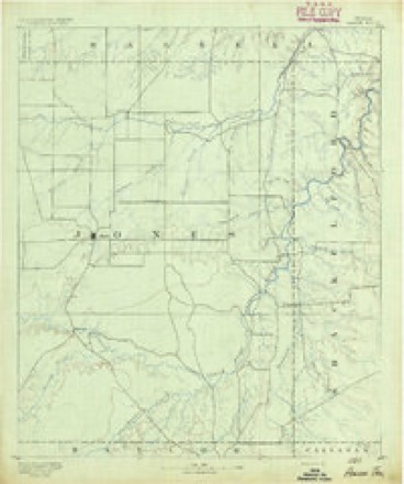
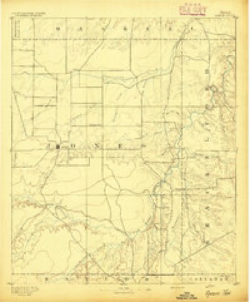
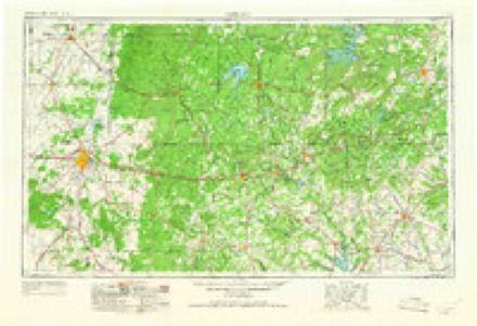
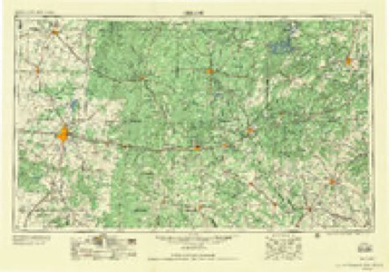
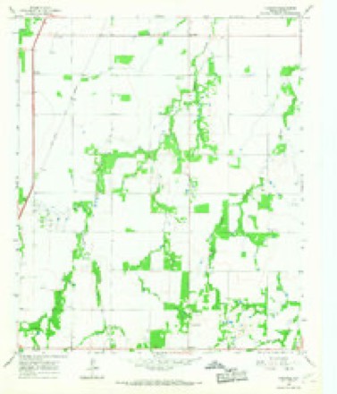
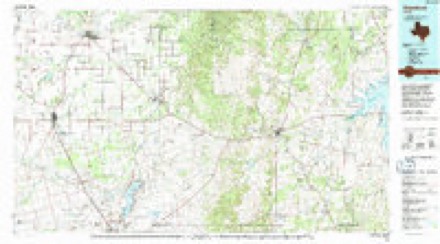
11 topographic sheets cover this place, the earliest surveyed in 1891 and the latest in 1985. It stands in the Anson census division. It lies in ZIP code area 79501. The Survey maps it on the Funston quadrangle.
Topographic sheets covering this place
6 surveys from 11 printed sheetsMatched by testing this settlement's coordinate against the published boundary of every sheet in the United States Geological Survey's historical collection. Each opens the scanned sheet at the Survey.
- 1891 USGS Anson quadrangle1:125000
- 1893 USGS Anson quadrangle1:125000, 5 printings
- 1954 USGS Abilene quadrangle1:250000, 2 printings
- 1958 USGS Abilene quadrangle1:250000
- 1965 USGS Funston quadrangle1:24000
- 1985 USGS Stamford quadrangle1:100000
Fires near this place
43 since 2005Regional context, not property-specific evidence. The federal wildfire occurrence database lists 43 fires within 5 miles of Funston between 2005 and 2019, burning about 834 acres in total. None started naturally. 5 were recorded as arson. Distance is straight-line from the map coordinates, so a fire counted here may appear on a neighbouring settlement's page as well.
| Reported cause | Fires |
|---|---|
| Debris and open burning | 13 |
| Missing data/not specified/undetermined | 13 |
| Equipment and vehicle use | 9 |
| Arson/incendiarism | 5 |
| Misuse of fire by a minor | 1 |
| Smoking | 1 |
| Power generation/transmission/distribution | 1 |
The most recent of them, most recent first, with the day each was reported and the service that recorded it.
| Date | Cause | Size | Reported by | Name on the report |
|---|---|---|---|---|
| 6 September 2008 | Debris and open burning | 2.0 acres | Texas A & M Forest Service | not named |
| 22 September 2006 | Arson/incendiarism | 1.0 acres | Texas A & M Forest Service | not named |
| 19 September 2007 | Debris and open burning | 5.0 acres | Texas A & M Forest Service | not named |
| 18 August 2014 | Debris and open burning | 1.0 acres | Texas A & M Forest Service | 14-076 |
| 17 August 2019 | Equipment and vehicle use | 2.0 acres | Texas A & M Forest Service | GRASS FIRE |
| 4 July 2008 | Missing data/not specified/undetermined | 1.0 acres | Texas A & M Forest Service | not named |
| 22 July 2019 | Equipment and vehicle use | 15 acres | Texas A & M Forest Service | GRASS FIRE |
| 18 July 2008 | Missing data/not specified/undetermined | 1.0 acres | Texas A & M Forest Service | not named |
Settlements close enough to share some of these fires:
Mines and quarries near this place
1 within 5 milesRegional context, not property-specific evidence. The federal mineral resources record lists 1 working within 5 miles of Funston: 1 occurrence. None of them still produces. What was taken out: Copper. Distance is straight-line from the map coordinates, so a quarry counted here may appear on a neighbouring settlement's page as well.
| Where | Site | Commodity | Status | Recorded |
|---|---|---|---|---|
| Cottonwood Creek-1 | Copper | Occurrence | 1972 |
Storms near this place
12 since 1993Regional context, not property-specific evidence. The National Weather Service names Funston in 12 storm reports between 1993 and 2023: 5 hail, 4 thunderstorm wind, 2 tornado, 1 flood. The reports record 2 deaths and 2 injuries. Each account below is quoted exactly as the forecast office filed it, from the NOAA Storm Events Database, and each date opens the federal record of that event.
| When | Event | Place named | Harm | What the report says |
|---|---|---|---|---|
| September 2020 | Flood | Funston | 2 killed | Very heavy rains fell in a short time between 530 and 630 PM CDT, on September 8, and resulted in flash flooding across Jones County. On Wednesday September 9th, 2020, the Jones County Sheriff's Office responded to an abandoned vehicle call near FM1226 and County Road 266 on Red Mud Creek. The Sheriff said these individuals went missing around Noon CDT on 9/9/20. The vehicle was located just off a roadway in high level and rapid moving water on FM1226 just south of County Road 266. With the assistance of Anson Volunteer Fire Department, Texas Game Wardens and Anson EMS, it was determined that the vehicle was not occupied. Due to weather conditions, water level and speed in which the water was flowing, personnel were instructed to return to the area the following morning, 9/10/2020, during daylight hours. Just before noon Thursday, September 10, 2020, a resident used his drone to help rescuers scan the area. They located the body 100 yards away from the car in a flooded field near a fence. They found the deceased body in a field the next day on 9/10 and it was a 71 year old male. At approximately 3:30 pm, on 9/16/20, the body of a 62 year old male, who was a passenger in the same vehicle, was recovered in the Red Mud Creek area. |
| May 2023 | Tornado (EF2) | Funston | 2 hurt | A supercell thunderstorm moving slowly southward through eastern Jones County|produced a weak tornado 2 miles east of Funston around 9:13pm.|Very little, if any, damage occurred during this phase of the|event. At about 9:40pm, the tornado was moving southwestward|before it was intercepted by an eastward-moving bow echo about 2|miles south of Funston. The bow echo pushed the tornado back|northeastward and the circulation rapidly intensified for about|five minutes. During this time, the tornado widened and caused|significant damage to some homes at the intersection of CR376 and|CR364. Two manufactured homes were rolled and or completely|destroyed. It was noted that the hurricane straps failed on one of|the manufactured homes, causing it to roll off of its foundation.|A small single-family residence sustained significant roof damage|and caused an enclosed porch to become detached from the home.|The tornado continued northeastward for nearly a mile before|becoming fully absorbed into the straight-line winds of the bow|echo at about 9:47 pm. |
| August 1997 | Thunderstorm Wind | Funston | $75,000 | Winds blew a tree onto a house and damaged a gas station. Power lines and power poles were also blown over. |
| April 2019 | Hail | Funston | - | The public reported golf ball size hail at the intersection of Texas Highway 239 and U.S. Highway 70. In addition, the public reported a possible wall cloud. |
| May 2018 | Thunderstorm Wind | Funston | - | The public estimated a 60 mph wind gust. |
| March 2017 | Hail | Funston | - | A trained spotter reported golf ball size hail 3 miles south of Funston. |
| May 2016 | Hail | Funston | - | A trained spotter reported 3 inch diameter hail 5 miles south of Funston, along Farm to Market Road 1226 just north of the Tangled Oaks Golf Club. |
| December 2015 | Thunderstorm Wind | Funston | - | Law Enforcement estimated a wind gust of 60 mph. |
| June 2004 | Tornado (F0) | Funston | - | Brief tornado reported near Funston. No damage was observed. |
| August 1997 | Thunderstorm Wind | Funston | - | no account filed |
| March 1997 | Hail | Funston | - | no account filed |
| April 1993 | Hail | Funston | - | no account filed |
Nearest settlements
The eight closest, with where each one stands in the county. Distances are straight-line, computed from the Geographic Names Information System coordinates.
Provenance
This settlement is recorded in the Geographic Names Information System as feature 1378337. The sheet list is computed by point-in-boundary test against the United States Geological Survey's historical topographic inventory. Both are works of the United States government and carry no copyright under 17 U.S.C. 105.
Wildfire. Short, Karen C. 2022. Spatial wildfire occurrence data for the United States, 1992-2020 [FPA_FOD_20221014]. 6th Edition. Fort Collins, CO: Forest Service Research Data Archive. https://doi.org/10.2737/RDS-2013-0009.6 Collected with United States Government funding and usable without additional permissions or fees.
Mines and quarries. USGS Mineral Resources Data System (MRDS) https://mrdata.usgs.gov/mrds/ A work of the United States government, no copyright under 17 U.S.C. 105.
Storms. NOAA National Centers for Environmental Information, Storm Events Database https://www.ncei.noaa.gov/stormevents/ A work of the United States government, no copyright under 17 U.S.C. 105. Narratives are quoted verbatim from the National Weather Service report and are not edited or summarised.