 Block
BlockFrom the record
22 National Register listings published here.
Sources: the National Register database, National Park Service
43 topographic sheets cover 22 settlements here, and 22 properties are on the National Register of Historic Places.
22 National Register listings published here.
Sources: the National Register database, National Park Service
Every property in this county listed on the National Register of Historic Places, with the year it was listed and the federal nomination document.
| Photograph | Property | Type | Listed | Reference |
|---|---|---|---|---|
 | J. P. Astin House | building | 1986 | 86002390 |
 | Buena Vista Hotel | building | 1986 | 86002369 |
 | Dr. E. P. Bunkley House and Garage | building | 1986 | 86002380 |
 | First Baptist Church | building | 1986 | 86002359 |
 | Fort Phantom Hill | site | 1972 | 72001367 |
 | House at 501 North Swenson | building | 1986 | 86002374 |
 | House at 502 South Orient | building | 1986 | 86002377 |
 | House at 610 East Oliver | building | 1986 | 86002394 |
 | House at 709 East Reynolds | building | 1986 | 86002384 |
 | House at 719 East Reynolds | building | 1986 | 86002385 |
| House at 815 East Campbell | building | 1986 | 86002392 | |
| A. J. Jackson House | building | 1986 | 86002366 | |
 | Jones County Courthouse | building | 2003 | 03000330 |
 | Old Bryant-Link Building | building | 1986 | 86002361 |
 | Old Penick-Hughes Company | building | 1986 | 86002354 |
 | Old West Texas Utilities Company | building | 1986 | 86002335 |
| H. O. Old Wooten Grocery | building | 1986 | 86002363 | |
 | SMS Building | building | 1986 | 86002336 |
 | Saint John's Methodist Church | building | 1986 | 86002351 |
 | Stamford City Hall | building | 1986 | 86002348 |
| A. J. Swenson House | building | 1986 | 86002395 | |
 | US Post Office | building | 1986 | 86002332 |
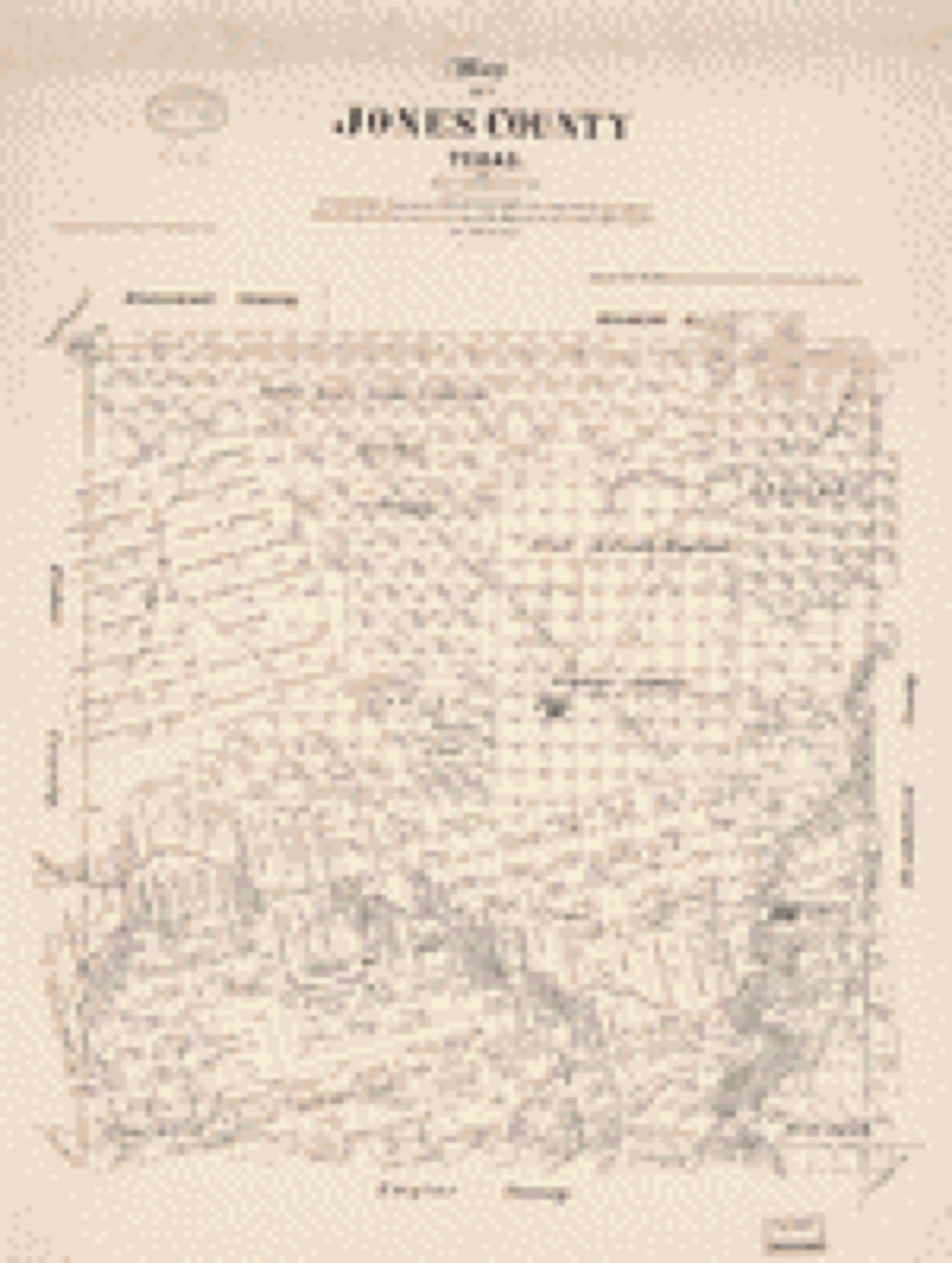
Drawn when these were printed as single large sheets: the town seen from the air, and the county divided into its farms with every owner named. Each opens the original at the Library of Congress.

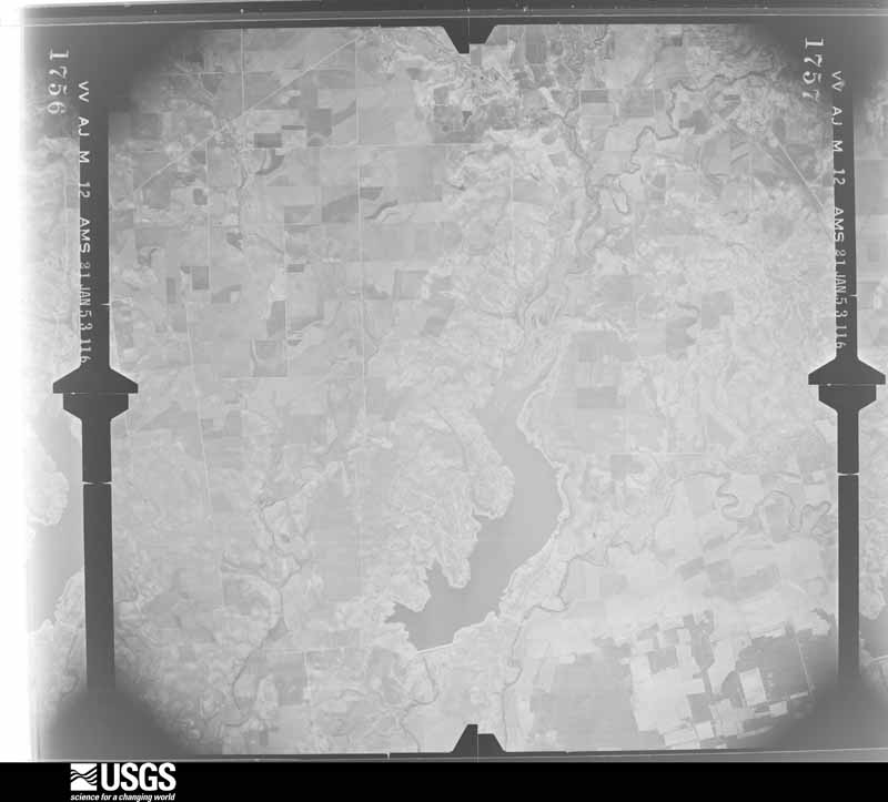
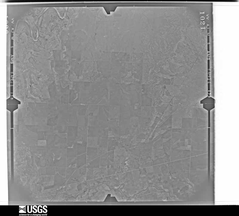
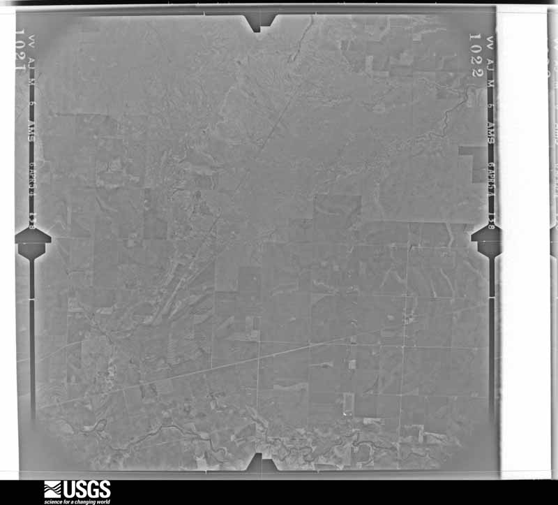
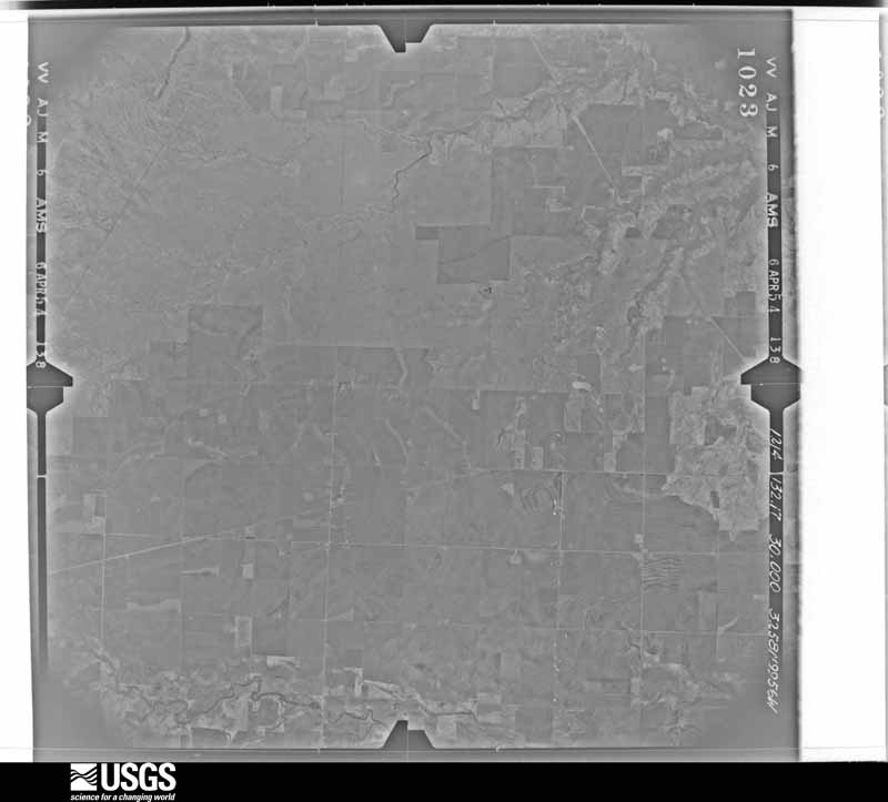
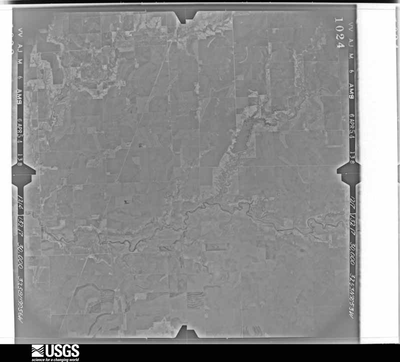
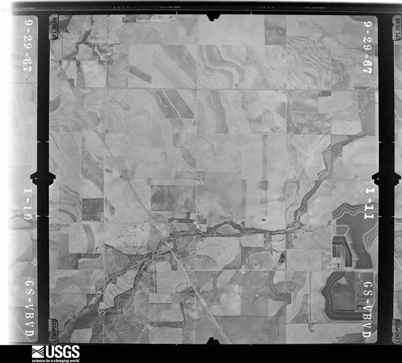
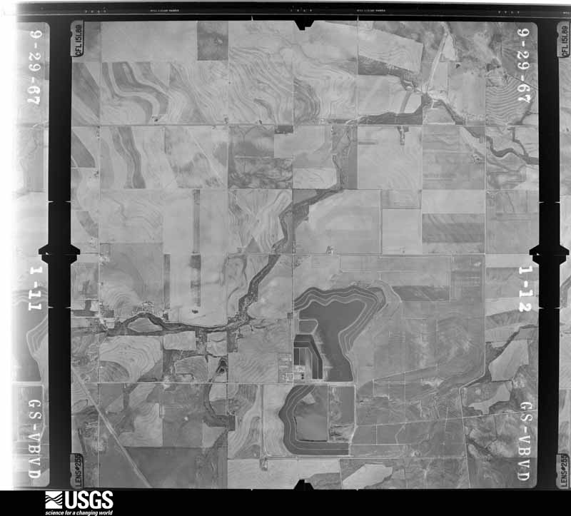
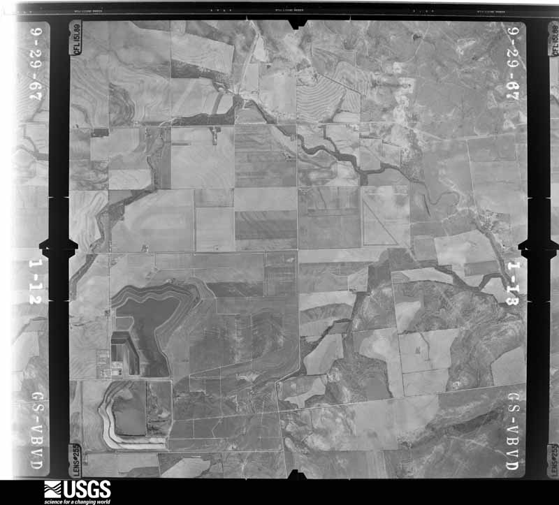
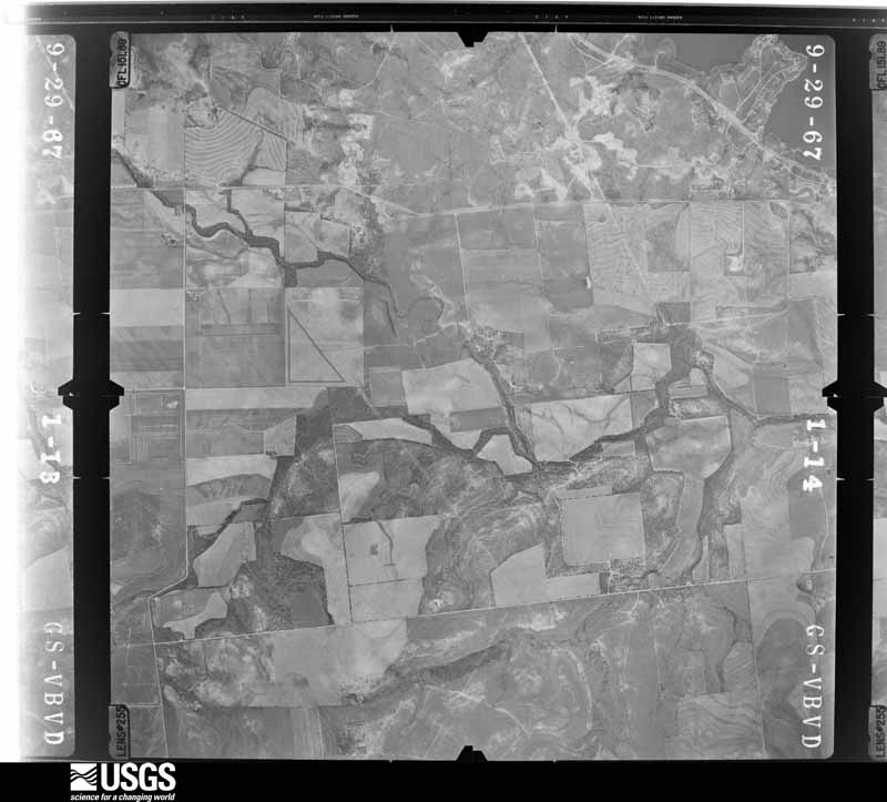
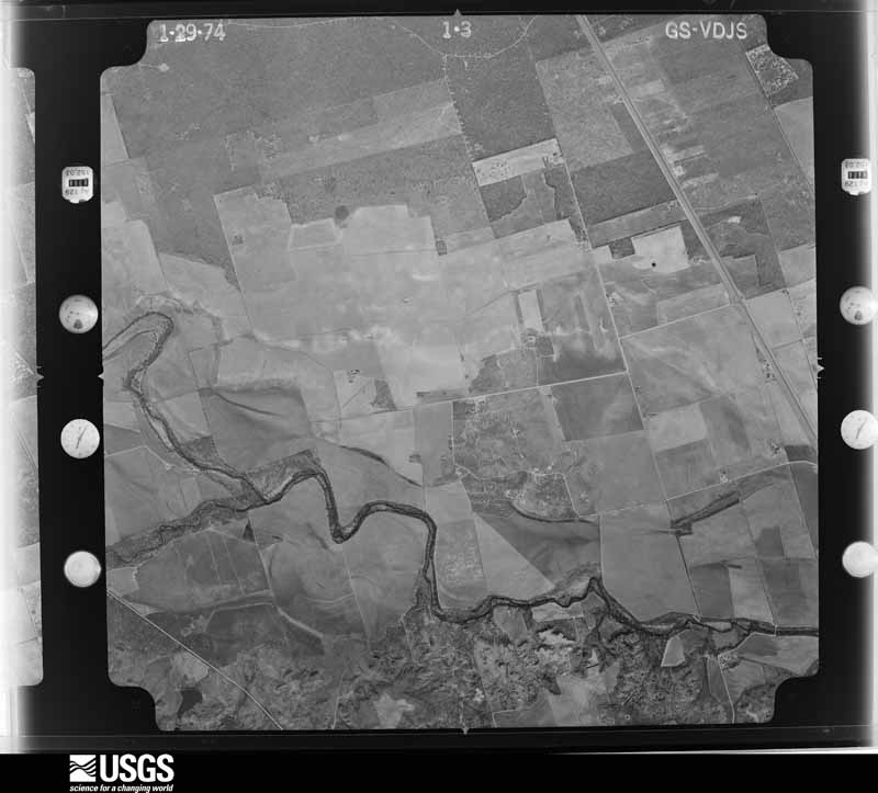
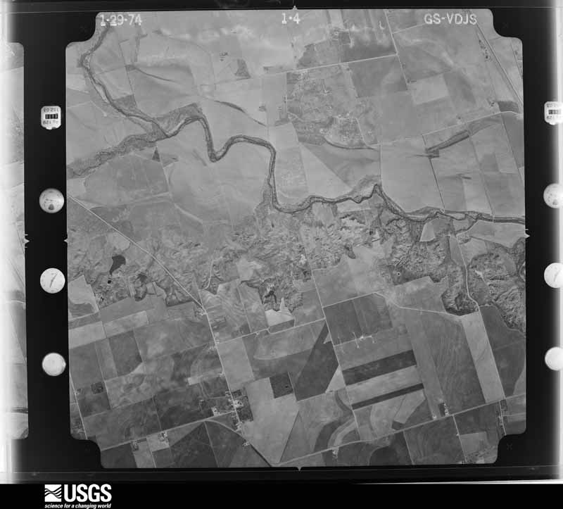
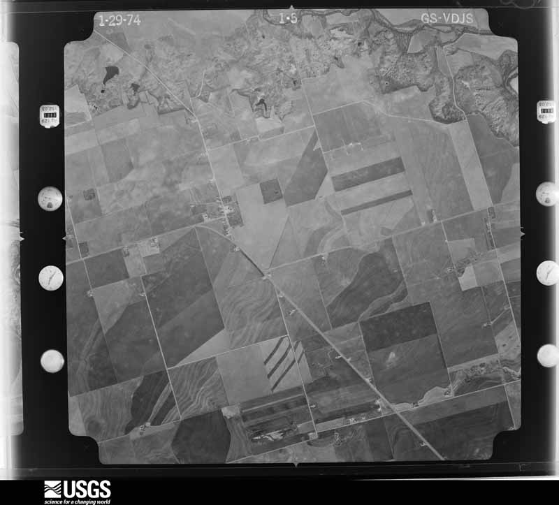
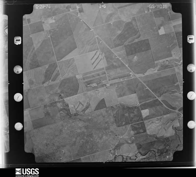
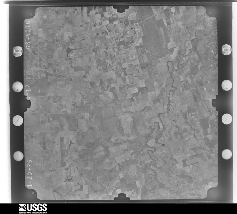
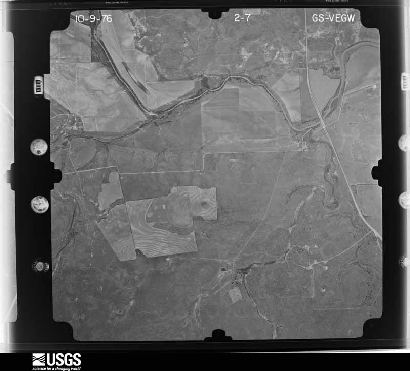
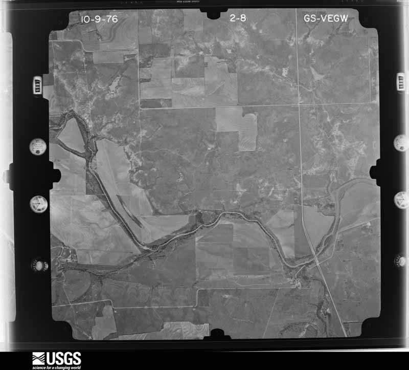
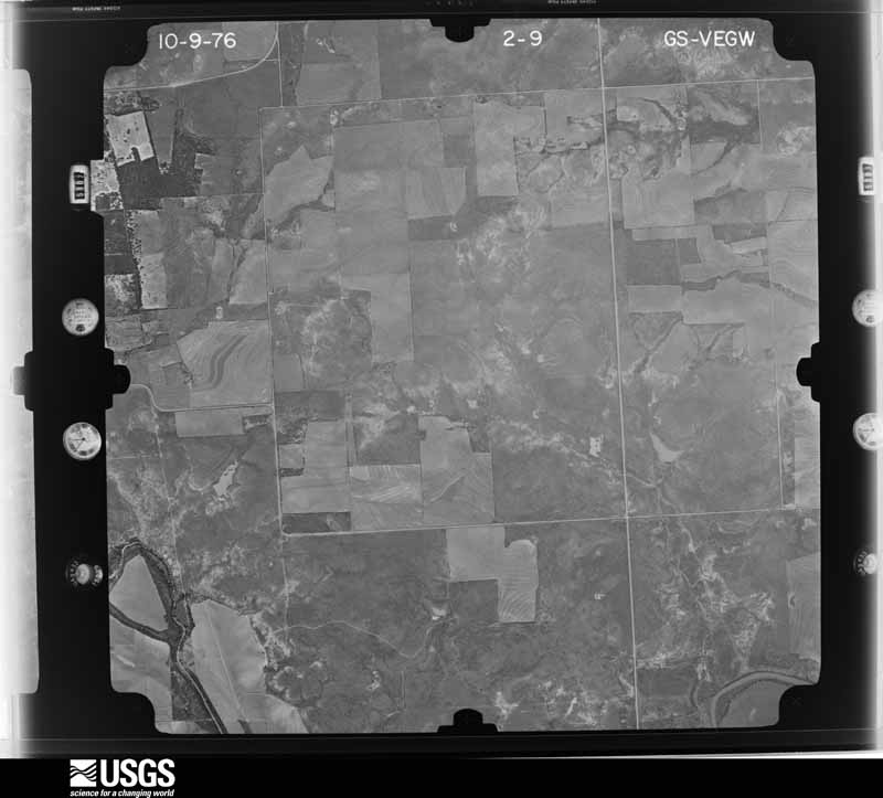
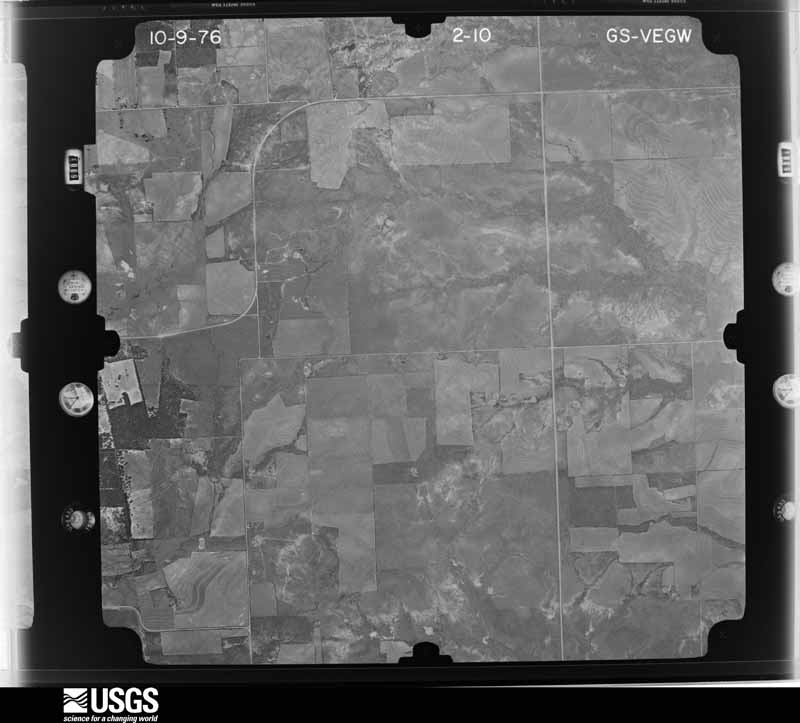
Flown by the U.S. Geological Survey between 1937 and 1989, the Aerial Photo Single Frames collection is the definitive mid-century view of the land: fields, roads and rivers as the camera saw them. The Survey holds 1,304 frames inside the rectangle that bounds this county; the 34 frames below were taken over the county itself, chosen across the decades of flights (at most four a year from that rectangle), so one flight cannot crowd out the rest. The full set is free to browse and download at EarthExplorer under the dataset Aerial Photo Single Frames.
















The thermometers that kept this county's weather, and the gages that measured the flow of its streams, as the federal records hold them. The extremes below are measured values from those records, not estimates.
Who lived here in 1950, one enumeration district at a time, as the Census Bureau described each district. Each row opens its official National Archives result, with Population Schedules and ED Maps available there.
Every wildfire the federal occurrence database records inside this county: 622 of them, burning about 19,896 acres. 18 started naturally and 36 were recorded as arson. Each settlement page carries the fires within five miles of it.
| Reported cause | Fires |
|---|---|
| Missing data/not specified/undetermined | 259 |
| Debris and open burning | 156 |
| Equipment and vehicle use | 98 |
| Arson/incendiarism | 36 |
| Power generation/transmission/distribution | 24 |
| Natural | 18 |
| Smoking | 17 |
| Misuse of fire by a minor | 8 |
| Recreation and ceremony | 6 |
The five largest, by the area the report gives. None of them was recorded as arson.
| Date | Cause | Size | Reported by | Name on the report |
|---|---|---|---|---|
| 13 April 2018 | Debris and open burning | 2,625 acres | Texas A & M Forest Service | 335 |
| 22 January 2009 | Equipment and vehicle use | 2,596 acres | Texas A & M Forest Service | SANDEROSA FIRE |
| 27 February 2011 | Missing data/not specified/undetermined | 900 acres | Texas A & M Forest Service | 1082 FIRE |
| 1 February 2008 | Missing data/not specified/undetermined | 500 acres | Texas A & M Forest Service | not named |
| 5 August 2011 | Equipment and vehicle use | 500 acres | Texas A & M Forest Service | BAILEY |
| 16 June 2011 | Missing data/not specified/undetermined | 450 acres | Texas A & M Forest Service | NUGENT FIRE |
| 24 June 2011 | Missing data/not specified/undetermined | 407 acres | Texas A & M Forest Service | ALEXANDER FIRE |
| 6 August 2011 | Missing data/not specified/undetermined | 364 acres | Texas A & M Forest Service | CR3116 FIRE |
Every settlement page carries the fires within five miles of it - see the settlement index below.
The NOAA Storm Events Database holds 728 reports for this county, causing 3 deaths, 25 injuries and about $40,016,120 in recorded property damage. Each settlement page carries the reports that name it.
| Kind of event | Reports |
|---|---|
| Hail | 415 |
| Thunderstorm Wind | 189 |
| Tornado | 88 |
| Flash Flood | 27 |
| Flood | 7 |
| Lightning | 1 |
| Funnel Cloud | 1 |
The most serious of them, by death, then injury, then recorded damage. The accounts are quoted exactly as the forecast office filed them.
| When | Event | Place named | Harm | What the report says |
|---|---|---|---|---|
| September 2020 | Flood | Funston | 2 killed | Very heavy rains fell in a short time between 530 and 630 PM CDT, on September 8, and resulted in flash flooding across Jones County. On Wednesday September 9th, 2020, the Jones County Sheriff's Office responded to an abandoned vehicle call near FM1226 and County Road 266 on Red Mud Creek. The Sheriff said these individuals went missing around Noon CDT on 9/9/20. The vehicle was located just off a roadway in high level and rapid moving water on FM1226 just south of County Road 266. With the assistance of Anson Volunteer Fire Department, Texas Game Wardens and Anson EMS, it was determined that the vehicle was not occupied. Due to weather conditions, water level and speed in which the water was flowing, personnel were instructed to return to the area the following morning, 9/10/2020, during daylight hours. Just before noon Thursday, September 10, 2020, a resident used his drone to help rescuers scan the area. They located the body 100 yards away from the car in a flooded field near a fence. They found the deceased body in a field the next day on 9/10 and it was a 71 year old male. At approximately 3:30 pm, on 9/16/20, the body of a 62 year old male, who was a passenger in the same vehicle, was recovered in the Red Mud Creek area. |
| May 1962 | Tornado (F3) | not stated | 1 killed, 1 hurt, $25,000 | no account filed |
| June 1983 | Tornado (F0) | not stated | 4 hurt, $2,500 | no account filed |
| May 2024 | Tornado (EF3) | Hawley | 4 hurt | The tornado was part of a cyclical supercell moving southeastward|through Jones County just west of US-277. The tornado that |produced damage dropped just north of CR-460 and moved southeast |before causing damage to metal outbuildings on two properties. It |continued southeast then turned to the south-southwest where it |damaged a home and snapped some trees and wooden power poles. It |continued southwestward before completely destroying a home that |was under construction. It also threw several trucks and a trailer|about 100 yards before crossing CR-458. Continuing southwestward,|the tornado completely destroyed another house and injured a |family of four. The tornado made one more turn southeastward where|it hit a small neighborhood. In the neighborhood, it caused roof |damage to a few homes and outbuildings. Before exiting the |neighborhood, it took most of the roof off of a house and caused |some of the walls to collapse. It also destroyed a metal garage |and heavily damaged an attached metal outbuilding. The tornado |crossed FM-605 before dissipating shortly thereafter. The estimated |peak wind speed was 165 mph. |
| April 1955 | Tornado (F2) | not stated | 3 hurt, $250,000 | no account filed |
| May 1990 | Tornado (F2) | not stated | 3 hurt | no account filed |
| May 1990 | Tornado (F2) | not stated | 2 hurt, $250,000 | no account filed |
| May 1965 | Tornado (F3) | not stated | 2 hurt, $250,000 | no account filed |
| May 2023 | Tornado (EF2) | Funston | 2 hurt | A supercell thunderstorm moving slowly southward through eastern Jones County|produced a weak tornado 2 miles east of Funston around 9:13pm.|Very little, if any, damage occurred during this phase of the|event. At about 9:40pm, the tornado was moving southwestward|before it was intercepted by an eastward-moving bow echo about 2|miles south of Funston. The bow echo pushed the tornado back|northeastward and the circulation rapidly intensified for about|five minutes. During this time, the tornado widened and caused|significant damage to some homes at the intersection of CR376 and|CR364. Two manufactured homes were rolled and or completely|destroyed. It was noted that the hurricane straps failed on one of|the manufactured homes, causing it to roll off of its foundation.|A small single-family residence sustained significant roof damage|and caused an enclosed porch to become detached from the home.|The tornado continued northeastward for nearly a mile before|becoming fully absorbed into the straight-line winds of the bow|echo at about 9:47 pm. |
| May 1990 | Tornado (F3) | not stated | 2 hurt | no account filed |
| May 1990 | Tornado (F2) | not stated | 2 hurt | no account filed |
| August 2007 | Flash Flood | Hamlin | $25,000,000 | About 215 homes in Hamlin were flooded at low lying areas located near California Creek. Several residents had to be evacuated as the water level in their homes increase to 3 to 4 feet. Farm road 57 and County Road 123 were also closed. Throughout Jones county, a total of about 400 homes were damaged, along with several road and bridge approaches washed out. |
| October 2018 | Flood | Radium | $6,250,000 | Prolonged heavy rainfall flooded roads across Jones County and this flooding damaged some roads in the county. This damage and flooding was exasperated by all of the rainfall since September. |
| May 1976 | Tornado (F3) | not stated | $2,500,000 | no account filed |
| July 2002 | Flash Flood | Countywide | $1,000,000 | Jones County received very heavy rains on the morning of the 6th. These rains resulted in some flooding in the Hamlin and Anson areas. Three homes were flooded, but many county roads were washed out. A news paper article stated that around 450 miles of road were damaged in some way by the flooding. The most severe damage was in the northwest portion of the county. |
| June 1998 | Thunderstorm Wind | Hamlin | $1,000,000 | Winds estimated at 80 mph destroyed a barn and knocked down trees and power poles across the city |
| June 1998 | Hail | Hamlin | $1,000,000 | Golfball to tennis ball size hail fell in Hamlin for 20 minutes |
| February 1994 | Thunderstorm Wind | Hodges | $500,000 | Strong winds blew over a 28-foot travel trailer. Damage was reported to three mobile homes, outbuildings, trees, and power lines. Total damage was estimated at $65,000. |
| May 1982 | Tornado (F2) | not stated | $250,000 | no account filed |
| May 1976 | Tornado (F3) | not stated | $250,000 | no account filed |
| June 1997 | Thunderstorm Wind | Hamlin | $200,000 | Strong winds destroyed a warehouse, ripped off a portion of a carwash, tore the roof off of a downtown store building, toppled a tall sign and a church steeple, and blew down some trees and power lines. |
| June 1996 | Thunderstorm Wind | Hawley | $200,000 | no account filed |
| June 1997 | Thunderstorm Wind | Anson | $100,000 | Strong winds destroyed two barns and damaged roofs of other buildings. |
| June 1997 | Hail | Stamford | $100,000 | no account filed |
| June 1996 | Hail | Hawley | $100,000 | no account filed |
| June 2007 | Thunderstorm Wind | Anson | $90,000 | Several tree limbs were downed by the intense thunderstorm winds around Anson. The high winds ripped half the roof off of an Anson apartment complex, and the high winds snapped a utility pole and an electrical line. A truck was destroyed when part of the metal roof landed on it. |
| August 1997 | Thunderstorm Wind | Funston | $75,000 | Winds blew a tree onto a house and damaged a gas station. Power lines and power poles were also blown over. |
| September 1996 | Thunderstorm Wind | Hodges | $50,000 | no account filed |
| July 1995 | Tornado (F0) | Hawley | $40,000 | A brief tornado touchdown unroofed a house, damaged a barn and blew down power lines. Hawley,02,1832CST,,,0,0,0,0,Hail (1.00) 7 E Hawley,02,1846CST,,,0,0,0,0,Hail (1.75) 6 E Hawley,02,1900CST,,,0,0,0,0,Hail (1.75) |
| June 1997 | Flash Flood | Anson | $30,000 | Heavy rains flooded streets in the town of Anson. |
| June 2003 | Hail | Stamford | $30,000 | no account filed |
| March 2004 | Thunderstorm Wind | Hamlin | $25,000 | The town of Hamlin received strong thunderstorm winds gusting to near 80 MPH for about 10 minutes. These winds resulted in damage to roofs and carports. Several power poles were also snapped. |
| June 2004 | Hail | Hawley | $25,000 | Two inch diameter hail resulted in damage to windows and sky lights near Hawley. |
| May 1997 | Flash Flood | Anson | $25,000 | As much as three inches of rain fell south of Anson and flooded county roads. |
| May 1991 | Tornado (F2) | not stated | $25,000 | no account filed |
| April 1985 | Tornado (F2) | not stated | $25,000 | no account filed |
| June 1969 | Tornado (F2) | not stated | $25,000 | no account filed |
| April 1962 | Tornado (F2) | not stated | $25,000 | no account filed |
| May 2012 | Lightning | Anson | $20,000 | Lightning struck an oil storage tank just off U.S. Highway 277, 4 miles north of Anson. The resulting fire was extinguished by Anson and Stamford Volunteer Fire Departments. |
| April 2008 | Thunderstorm Wind | Anson | $20,000 | About 20 power poles were snapped along U.S. Highway 277. |
| May 2005 | Hail | Neinda | $20,000 | Hail covered the ground. |
| May 2004 | Hail | Hamlin | $20,000 | A post office employee reported golf ball size hail fell from the community of Hamlin to 6 miles to the northeast of Hamlin. There were a few reports of cracked windshields. The hail fell for 45 minutes. |
| May 2005 | Hail | Hamlin | $20,000 | no account filed |
| May 2005 | Hail | Noodle | $15,000 | The hail damaged roofs on homes and shredded wheat crops. |
| July 2005 | Thunderstorm Wind | Neinda | $15,000 | Strong thunderstorm winds produced damage to trees and power lines. Some minor damage to homes was also noted. |
| April 2008 | Tornado (EF0) | New Hope | $12,000 | National Weather Service Storm Survey revealed that an EF0 tornado caused roof damage to a home 5 miles west-southwest of Avoca. There was also broken tree limbs along the path and many power poles snapped along U.S. Highway 277 just south of the Farm Road 1636 intersection. |
| June 2007 | Thunderstorm Wind | Hamlin | $12,000 | Several Trees were blown down around the Community of Hamlin. Only minor structural damage was reported. |
| May 2005 | Hail | Anson | $10,000 | The hail busted out car windows just to the west of Anson. |
| March 2004 | Thunderstorm Wind | Anson | $10,000 | The roof of a grocery store was blown off in the town of Anson. |
| June 2004 | Thunderstorm Wind | Lueders | $10,000 | Power lines and trees blown down. |
| June 2004 | Thunderstorm Wind | Stamford | $10,000 | Trees and power lines down. |
| June 1998 | Thunderstorm Wind | Anson | $10,000 | An apparent microburst damaged several buildings in the city of Anson. Trees and power lines were also knocked down across the city. |
| May 1997 | Hail | Anson | $10,000 | no account filed |
| May 2004 | Hail | Stamford | $8,000 | Golfball size hail was reported in Stamford for about 10 minutes. Only some minor damage was noted. |
| June 2003 | Thunderstorm Wind | Stamford | $8,000 | Roof was blown off of a house. |
| September 2002 | Thunderstorm Wind | Anson | $7,000 | Strong thunderstorm winds destroyed a barn and broke glass in a windshield. |
| July 1998 | Thunderstorm Wind | Hamlin | $6,000 | A carport was destroyed and portions of a neighbouring home severely damaged. Several large tree limbs were also snapped off. |
| June 2001 | Thunderstorm Wind | Hamlin | $5,000 | High winds moved a large water tank with 100 gallons of water in it about a quarter of a mile, destroying the tank. These same winds also blew 3 metal doors off a barn. |
| September 1995 | Thunderstorm Wind | Anson | $5,000 | Power poles were blown down by high winds. |
| May 1994 | Thunderstorm Wind | Anson | $5,000 | Strong winds damaged trees and signs in Anson. |
The Survey's mineral resources record lists 6 workings inside this county. 2 still produce and 4 are closed or unrecorded. Each settlement page carries the workings within five miles of it.
| Commodity | Workings |
|---|---|
| Copper | 3 |
| Sand and Gravel, Construction | 2 |
| Limestone, Dimension | 1 |
The least common of them first, because a county's hundredth gravel pit says nothing its first ten did not.
| Where | Site | Commodity | Status | Recorded |
|---|---|---|---|---|
| Lueders Quarry | Limestone, Dimension | Producer | ||
| Atlas Sand and Gravel Pit and Plant | Sand and Gravel, Construction | Producer | ||
| Unknown | Sand and Gravel, Construction | Past Producer | ||
| Avoca | Copper | Unknown | ||
| Cottonwood Creek-1 | Copper | Occurrence | 1972 | |
| Stenholm Ranch-1 | Copper | Occurrence | 1885 |
Named settlements recorded in the Geographic Names Information System, each with the topographic sheets covering it. Villages, hamlets and abandoned places alike. Each is shown with the nearest named watercourse or landform and the survey quadrangle it falls on.
Stamford census division · 79503 · On Spring Creek · Lueders West quadrangle
11 sheets, 1891 to 1985
Hawley-Noodle census division · 79601 · Nugent quadrangle
12 sheets, 1891 to 1985
No longer a settlement
Lueders census division · 79533 · On Cottonwood Creek · Lueders East quadrangle
12 sheets, 1891 to 1985
Stamford census division · 79553 · On Redmud Creek · Funston quadrangle
11 sheets, 1891 to 1985
Hawley-Noodle census division · 79601 · On Elm Creek · Nugent quadrangle
12 sheets, 1891 to 1985
Anson census division · 79501 · On Dark Hollow Branch · Truby quadrangle
12 sheets, 1891 to 1985
The vanished settlements of Jones County: the places named above that are no longer on the map.