 Block
BlockGardendale, Texas
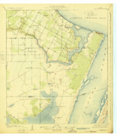
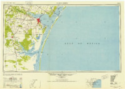
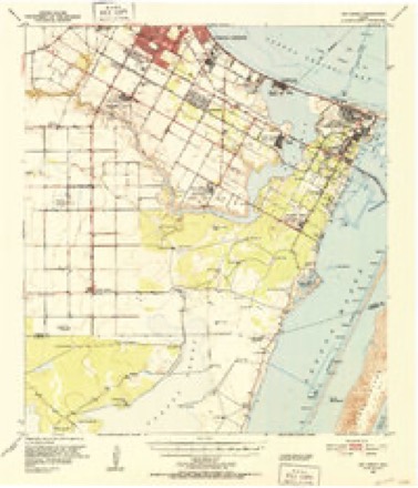
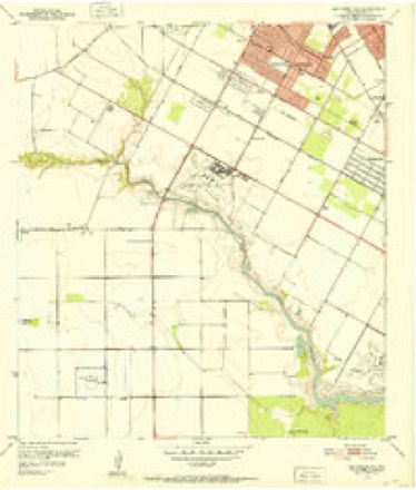
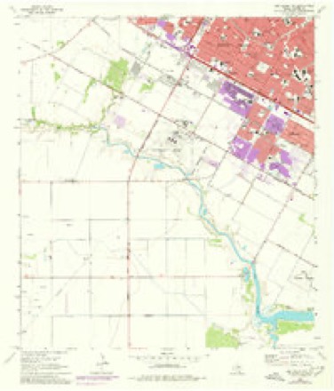
14 topographic sheets cover this place, the earliest surveyed in 1925 and the latest in 1989. It stands in the Corpus Christi census division. It lies in ZIP code area 78411. The Survey maps it on the Oso Creek NW quadrangle.
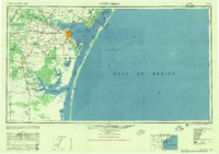
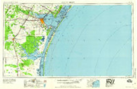
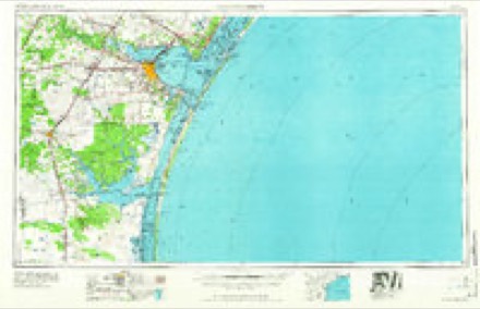
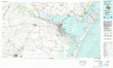
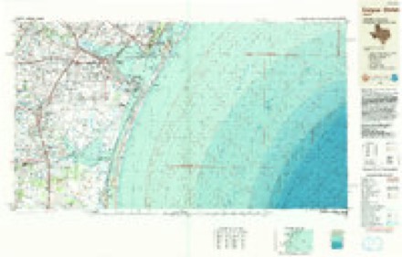
Topographic sheets covering this place
10 surveys from 14 printed sheetsMatched by testing this settlement's coordinate against the published boundary of every sheet in the United States Geological Survey's historical collection. Each opens the scanned sheet at the Survey.
- 1925 USGS Oso Creek quadrangle1:62500, 2 printings
- 1950 USGS Corpus Christi quadrangle1:250000
- 1951 USGS Oso Creek quadrangle1:62500, 2 printings
- 1951 USGS Oso Creek NW quadrangle1:24000
- 1956 USGS Corpus Christi quadrangle1:250000
- 1960 USGS Corpus Christi quadrangle1:250000
- 1966 USGS Corpus Christi quadrangle1:250000
- 1968 USGS Oso Creek NW quadrangle1:24000, 3 printings
- 1984 USGS Corpus Christi quadrangle1:100000
- 1989 USGS Corpus Christi quadrangle1:250000
Fires near this place
27 since 2006Regional context, not property-specific evidence. The federal wildfire occurrence database lists 27 fires within 5 miles of Gardendale between 2006 and 2018, burning about 698 acres in total. 1 started naturally. None was recorded as arson. Distance is straight-line from the map coordinates, so a fire counted here may appear on a neighbouring settlement's page as well.
| Reported cause | Fires |
|---|---|
| Missing data/not specified/undetermined | 15 |
| Equipment and vehicle use | 3 |
| Debris and open burning | 3 |
| Misuse of fire by a minor | 2 |
| Recreation and ceremony | 2 |
| Natural | 1 |
| Power generation/transmission/distribution | 1 |
The most recent of them, most recent first, with the day each was reported and the service that recorded it.
| Date | Cause | Size | Reported by | Name on the report |
|---|---|---|---|---|
| 1 September 2018 | Recreation and ceremony | under an acre | Texas A & M Forest Service | BRUSH FIRE |
| 8 August 2009 | Missing data/not specified/undetermined | 2.0 acres | Texas A & M Forest Service | 6533 PATTI |
| 30 August 2009 | Natural | 1.0 acres | Texas A & M Forest Service | 7451 BAY AREA DR |
| 31 July 2016 | Power generation/transmission/distribution | 2.0 acres | Texas A & M Forest Service | 16-138 |
| 18 July 2010 | Misuse of fire by a minor | 1.0 acres | Texas A & M Forest Service | 2146 SAVOY |
| 3 May 2006 | Debris and open burning | 1.0 acres | Texas A & M Forest Service | not named |
| 28 April 2009 | Missing data/not specified/undetermined | 5.0 acres | Texas A & M Forest Service | 8100 HOLLY |
| 28 April 2006 | Missing data/not specified/undetermined | 1.0 acres | Texas A & M Forest Service | not named |
Settlements close enough to share some of these fires:
Storms near this place
32 since 2007Regional context, not property-specific evidence. The National Weather Service names Gardendale in 32 storm reports between 2007 and 2019: 13 flash flood, 7 thunderstorm wind, 4 tornado, 3 hail. No death or injury is recorded in these reports. Each account below is quoted exactly as the forecast office filed it, from the NOAA Storm Events Database, and each date opens the federal record of that event.
| When | Event | Place named | Harm | What the report says |
|---|---|---|---|---|
| May 2015 | Thunderstorm Wind | Gardendale | $100,000 | Power poles were snapped on Everhart Road and Bonner Drive in Corpus Christi. Several fences and many trees were blown down in Corpus Christi. Power outages were extensive across the city. |
| May 2017 | Lightning | Gardendale | $50,000 | Lightning struck a home on Citrus Valley Drive in Corpus Christi. The house caught on fire. An elderly woman had to be rescued. |
| March 2016 | Thunderstorm Wind | Gardendale | $50,000 | The roof of metal building at the U-Haul storage facility was blown on to a neighboring house on French Drive near Mount Vernon Drive. |
| May 2015 | Flash Flood | Gardendale | $50,000 | Flooding made several roads and intersections impassable in Corpus Christi. Flood waters made Saratoga Boulevard impassable near John Paul High School. Flood waters caused problems along South Padre Island Drive between Staples Street and Everhart Road with several cars abandoned. Areas in Flour Bluff and Corpus Christi Naval Air Station were flooded. |
| May 2012 | Thunderstorm Wind | Gardendale | $50,000 | Public and spotter reports of wind gusts between 65 and 75 mph occurred over parts of the city of Corpus Christi east of Staples Street and north of Saratoga Boulevard. The high winds extended northeast toward Texas A & M University at Corpus Christi. Power outages occurred in this section of the city along with minor tree damage. |
| March 2008 | Tornado (EF0) | Gardendale | $50,000 | A tornado touched down near the east side of the Country Club Estates subdivision at Staples St, and continued east across Wooldridge, through the intersection of Holly and Airline, and to Nile and S.P.I.D. (Hwy 358) where it dissipated. EF-0 damage occurred along the entire path with mainly fences and tree limbs damage. More notable damage was noted at the Saratoga Cove Apartments, Frost Bank, and a deluxe extended stay hotel, where fences were blown down, signs blown out, and minor shingle damage occurred. |
| May 2019 | Flash Flood | Gardendale | $25,000 | South Padre Island Drive in Corpus Christi became inaccessible between Ennis Joslin Road and Staples Street. Water covered the exit ramps. A few cars were stalled out in the high water. |
| May 2015 | Tornado (EF0) | Gardendale | $25,000 | A brief tornado started just south of Yorktown Boulevard on the south side of Corpus Christi. The damage was primarily confined to a business on Terrier Street. A large tree was blown onto a car. An outbuilding was heavily damaged. The main building of the business had some flashing peeled back below the roof line. |
| May 2012 | Thunderstorm Wind | Gardendale | $25,000 | Power outages occurred near Saratoga and Rodd Field Roads in Corpus Christi. |
| May 2012 | Hail | Gardendale | $25,000 | Half dollar sized hail occurred on the extreme south side of Corpus Christi. |
| May 2009 | Lightning | Gardendale | $20,000 | Lightning struck a house near the Kings Crossing subdivision, with significant damage reported. |
| March 2008 | Tornado (EF1) | Gardendale | $20,000 | A tornado touched down in the Pope Place neighboorhood, producing sporadic damage to homes and large trees. An NWS Storm Survey Crew estimated wind speeds of 95 to 105 mph. |
| June 2017 | Hail | Gardendale | $10,000 | Public reported golf ball sized hail near Alameda Street and Airline Road. |
| March 2016 | Thunderstorm Wind | Gardendale | $5,000 | Spotter estimated wind speeds around 60 mph along with penny sized hail at Weber Road and Gollihar Road. |
| March 2008 | Thunderstorm Wind | Gardendale | $5,000 | The rear flank downdraft of a tornadic supercell produced straight line wind damage around Staples St. and Saratoga Blvd. Primary damage was to fences and signs to a few businesses. |
| October 2007 | Thunderstorm Wind | Gardendale | $5,000 | no account filed |
| May 2019 | Flash Flood | Gardendale | - | Street flooding occurred in the neighborhoods near Staples Street and Lipes Boulevard in Corpus Christi. |
| May 2019 | Flash Flood | Gardendale | - | Various reports were received of standing water on roadways across the southeast side of Corpus Christi. |
| June 2018 | Flash Flood | Gardendale | - | Significant flooding of roadways occurred along Everhart Road near South Padre Island Drive. |
| June 2018 | Flash Flood | Gardendale | - | Yorktown and Saratoga Boulevards between Staples Street and Cimarron Boulevard in south Corpus Christi became impassable with water over a foot in depth in places. |
| June 2018 | Flash Flood | Gardendale | - | Staples Street was flooded between Holly Road and Williams Drive in Corpus Christi. Flooding also occurred near Morgan Avenue and Crosstown Expressway. |
| May 2017 | Flash Flood | Gardendale | - | Cimarron Boulevard and Airline Road were impassable along with portions of Rodd Field Road in Corpus Christi. |
| May 2017 | Flash Flood | Gardendale | - | Flood waters covered the roadways along South Padre Island Drive at Everhart Road and Staples Street. |
| June 2017 | Hail | Gardendale | - | Local TV station reported quarter sized hail near Alameda Street and Everhart Road. |
| March 2016 | Flash Flood | Gardendale | - | A foot of water was flowing over the road near the intersection of Prinston Drive and Mount Vernon Drive in Corpus Christi. |
| October 2015 | Flash Flood | Gardendale | - | Nueces County Sheriffs Office reported flooding over portions of Staples Street in Corpus Christi. |
| October 2014 | Flash Flood | Gardendale | - | Some roads within a mile radius of Staples Street and Saratoga Street were impassable with water depth up to a foot and a half. |
| July 2013 | Flash Flood | Gardendale | - | Flooding of streets occurred in many areas across the city of Corpus Christi. Flood waters reached a business on South Alameda. |
| May 2012 | Heavy Rain | Gardendale | - | Spotter reported 3.53 inches of rain fell in an hour along with some hail. |
| May 2012 | Tornado (EF0) | Gardendale | - | Video taken by the public showed a weak waterspout over Corpus Christi Bay moving inland near Ocean Drive and Robert Drive as a weak EF-0 tornado. The tornado quickly dissipated. No damage was observed. |
| September 2010 | Heavy Rain | Gardendale | - | Rainfall amounts of 7 inches occurred in the Kings Crossing subdivision with a two day rainfall total at 10.15 inches. |
| September 2010 | Funnel Cloud | Gardendale | - | NWS employee spotted a weak funnel cloud over the south side of Corpus Christi near the intersection of Staples and Yorktown. |
Nearest settlements
The eight closest, with where each one stands in the county. Distances are straight-line, computed from the Geographic Names Information System coordinates.
| Map | Place | Distance | Sheets |
|---|---|---|---|
| Peary Place | 3.5 miles | 14 | |
| Flour Bluff | 5.8 miles | 14 | |
| Corpus Christi | 6.6 miles | 12 | |
| North Beach | 8.0 miles | 12 | |
| Flour Bluff Junction | 8.1 miles | 12 | |
| Nueces | 8.7 miles | 12 | |
| Chapman Ranch | 9.0 miles | 12 | |
| San Juan | 9.4 miles | 13 |
Provenance
This settlement is recorded in the Geographic Names Information System as feature 1373810. The sheet list is computed by point-in-boundary test against the United States Geological Survey's historical topographic inventory. Both are works of the United States government and carry no copyright under 17 U.S.C. 105.
Wildfire. Short, Karen C. 2022. Spatial wildfire occurrence data for the United States, 1992-2020 [FPA_FOD_20221014]. 6th Edition. Fort Collins, CO: Forest Service Research Data Archive. https://doi.org/10.2737/RDS-2013-0009.6 Collected with United States Government funding and usable without additional permissions or fees.
Storms. NOAA National Centers for Environmental Information, Storm Events Database https://www.ncei.noaa.gov/stormevents/ A work of the United States government, no copyright under 17 U.S.C. 105. Narratives are quoted verbatim from the National Weather Service report and are not edited or summarised.