 Block
BlockNorth Beach, Texas
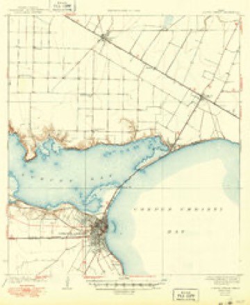
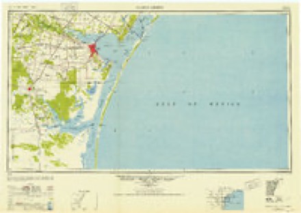
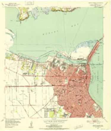
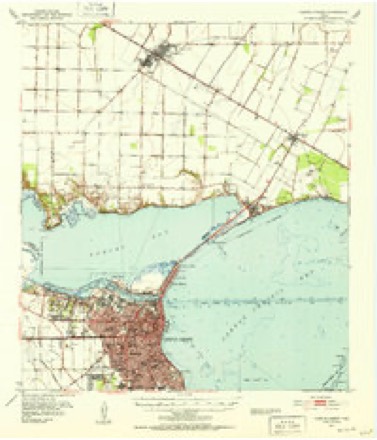
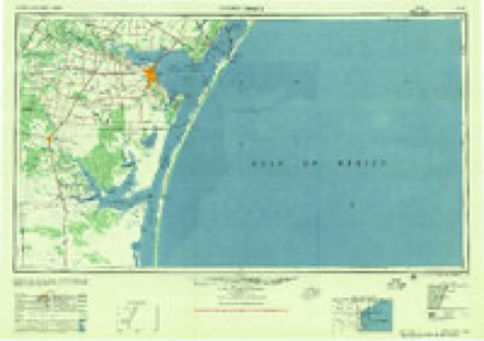
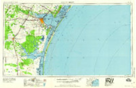
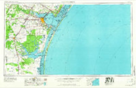
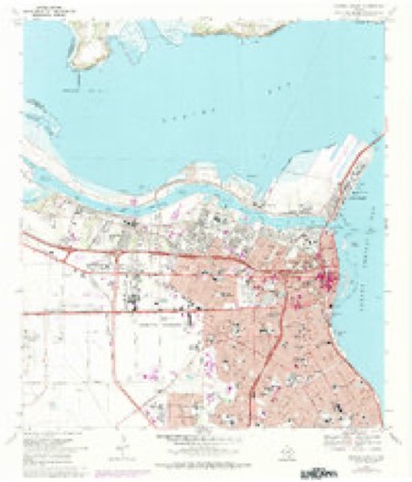
12 topographic sheets cover this place, the earliest surveyed in 1925 and the latest in 1989. It stands in the Corpus Christi census division. It lies in ZIP code area 78402. It lies near Spoil Island. The Survey maps it on the Corpus Christi quadrangle.
On record in North Beach
Buildings and businesses the archive holds for this place. Each opens its own page, with the source record it came from.
On the National Register within a mile 1 record
The National Register names another town for these. They stand within one mile of this settlement's coordinate.
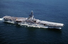 USS LexingtonNational Historic Landmark · listed 2003 · 0.4 miles away
Topographic sheets covering this place
10 surveys from 12 printed sheetsMatched by testing this settlement's coordinate against the published boundary of every sheet in the United States Geological Survey's historical collection. Each opens the scanned sheet at the Survey.
- 1925 USGS Corpus Christi quadrangle1:62500
- 1950 USGS Corpus Christi quadrangle1:250000
- 1951 USGS Corpus Christi quadrangle1:24000
- 1951 USGS Corpus Christi quadrangle1:62500, 2 printings
- 1956 USGS Corpus Christi quadrangle1:250000
- 1960 USGS Corpus Christi quadrangle1:250000
- 1966 USGS Corpus Christi quadrangle1:250000
- 1968 USGS Corpus Christi quadrangle1:24000, 2 printings
- 1984 USGS Corpus Christi quadrangle1:100000
- 1989 USGS Corpus Christi quadrangle1:250000
Fires near this place
4 since 2008Regional context, not property-specific evidence. The federal wildfire occurrence database lists 4 fires within 5 miles of North Beach between 2008 and 2017, burning about 203 acres in total. None started naturally. None was recorded as arson. Distance is straight-line from the map coordinates, so a fire counted here may appear on a neighbouring settlement's page as well.
| Reported cause | Fires |
|---|---|
| Misuse of fire by a minor | 1 |
| Debris and open burning | 1 |
| Power generation/transmission/distribution | 1 |
| Equipment and vehicle use | 1 |
The most recent of them, most recent first, with the day each was reported and the service that recorded it.
| Date | Cause | Size | Reported by | Name on the report |
|---|---|---|---|---|
| 18 July 2010 | Misuse of fire by a minor | 1.0 acres | Texas A & M Forest Service | 2146 SAVOY |
| 2 April 2009 | Power generation/transmission/distribution | 100 acres | Texas A & M Forest Service | 5217 SUNBELT |
| 27 February 2008 | Equipment and vehicle use | 100 acres | Texas A & M Forest Service | not named |
| 12 February 2017 | Debris and open burning | 2.0 acres | Texas A & M Forest Service | 17-022 |
Settlements close enough to share some of these fires:
Mines and quarries near this place
10 within 5 milesRegional context, not property-specific evidence. The federal mineral resources record lists 10 workings within 5 miles of North Beach: 7 producers, 3 plants. All of them still produce. What was taken out: Sulfur, Chromium, Barium-Barite, Silica. Distance is straight-line from the map coordinates, so a quarry counted here may appear on a neighbouring settlement's page as well.
| Where | Site | Commodity | Status | Recorded |
|---|---|---|---|---|
| (Facility) Corpus Christi Zinc Refinery | Zinc, Cadmium | Plant | ||
| Centex Corp Clay Pit | Clay | Producer | ||
| Corpus Christi Grinding Plant | Cement Rock | Producer | ||
| Corpus Christi Texas Plant | Chromium | Producer | ||
| Corpus Cristi Mill | Barium-Barite | Producer | ||
| Hitox Plant | Titanium | Producer | ||
| P P G Industries Inc Operation | Silica | Producer | ||
| (Facility) Champlin's Corpus Christi Refinery | Sulfur | Plant | ||
| (Facility) Valero Corpus Christi Refinery | Sulfur | Plant | ||
| Coastal Sulfur Plant | Sulfur | Producer |
Storms near this place
10 since 2012Regional context, not property-specific evidence. The National Weather Service names North Beach in 10 storm reports between 2012 and 2024: 9 flash flood, 1 funnel cloud. No death or injury is recorded in these reports. Each account below is quoted exactly as the forecast office filed it, from the NOAA Storm Events Database, and each date opens the federal record of that event.
| When | Event | Place named | Harm | What the report says |
|---|---|---|---|---|
| October 2014 | Flash Flood | North Beach | $250,000 | Public reported flooding occurred near American Bank Center where Bike Fest was being held. Flood waters were deep enough to cause some damage to motorcycles outside. |
| May 2015 | Flash Flood | North Beach | $200,000 | Heavy rainfall, ranging from 4 to 6 inches, fell in a short period of time over northern portions of Corpus Christi. Many intersections along Leopard, Agnes, and Staples Streets were flooded. Access roads along Interstate 37 and Crosstown Expressway were flooded. Several homes were flooded between North Padre Island Drive and Crosstown Expressway. Many cars were stalled in high water. |
| October 2014 | Flash Flood | North Beach | $100,000 | Spotter reported very heavy rain in the downtown area near Concrete Street. Water was up to 1 foot in depth at Interstate 37 and downtown with cars stalled. |
| July 2024 | Flash Flood | North Beach | - | Texas Department of Transportation reported numerous road closures due to flooding over North Beach. In addition, there were several reports of water over portions of HWY-358 and in poor drainage areas. |
| June 2024 | Funnel Cloud | North Beach | - | An NWS employee reported a tropical funnel cloud near or over Corpus Christi Bay on the morning of June 12th. |
| September 2022 | Flash Flood | North Beach | - | High water was reported on several roads near the downtown area. Barricades were requested to close off affected roads. |
| August 2022 | Flash Flood | North Beach | - | Harbor Bridge construction project crews temporarily closed the Port Avenue and Nueces Bay Boulevard exits to Martin Luther King Drive and the northwest loop ramp connecting to southbound Crosstown Expressway in downtown Corpus Christi. |
| May 2021 | Flash Flood | North Beach | - | Flood waters covered Shoreline Road on North Beach. |
| September 2018 | Flash Flood | North Beach | - | Water was over the roadways at Crosstown Expressway and Interstate 37 south to around Brownlee and Morgan Streets. |
| April 2012 | Flash Flood | North Beach | - | Numerous roads and intersections flooded in Corpus Christi. Interstate 37 under U. S. Highway 181 and the turnaround near Nueces Causeway was under water. |
Nearest settlements
The eight closest, with where each one stands in the county. Distances are straight-line, computed from the Geographic Names Information System coordinates.
| Map | Place | Distance | Sheets |
|---|---|---|---|
| Corpus Christi | 1.5 miles | 12 | |
| Nueces | 3.8 miles | 12 | |
| Flour Bluff Junction | 6.0 miles | 12 | |
| Viola | 7.2 miles | 13 | |
| McNorton | 7.9 miles | 13 | |
| Gardendale | 8.0 miles | 14 | |
| Clarkwood | 8.3 miles | 13 | |
| San Juan | 8.7 miles | 13 |
Provenance
This settlement is recorded in the Geographic Names Information System as feature 1342688. The sheet list is computed by point-in-boundary test against the United States Geological Survey's historical topographic inventory. Both are works of the United States government and carry no copyright under 17 U.S.C. 105.
Wildfire. Short, Karen C. 2022. Spatial wildfire occurrence data for the United States, 1992-2020 [FPA_FOD_20221014]. 6th Edition. Fort Collins, CO: Forest Service Research Data Archive. https://doi.org/10.2737/RDS-2013-0009.6 Collected with United States Government funding and usable without additional permissions or fees.
Mines and quarries. USGS Mineral Resources Data System (MRDS) https://mrdata.usgs.gov/mrds/ A work of the United States government, no copyright under 17 U.S.C. 105.
Storms. NOAA National Centers for Environmental Information, Storm Events Database https://www.ncei.noaa.gov/stormevents/ A work of the United States government, no copyright under 17 U.S.C. 105. Narratives are quoted verbatim from the National Weather Service report and are not edited or summarised.