 Block
BlockHamlin, Texas
12 topographic sheets cover this place, the earliest surveyed in 1893 and the latest in 1985. It stands in the Hamlin census division. It lies in ZIP code area 79520. The Survey maps it on the Hamlin NW quadrangle.
Topographic sheets covering this place
5 surveys from 12 printed sheetsMatched by testing this settlement's coordinate against the published boundary of every sheet in the United States Geological Survey's historical collection. Each opens the scanned sheet at the Survey.
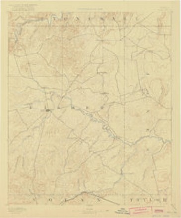
- 1893 USGS Roby quadrangle1:125000, 4 printings
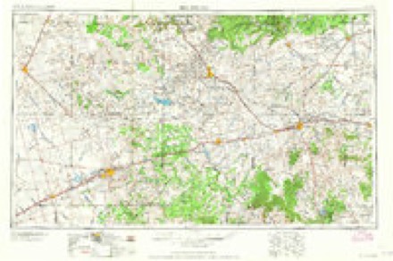
- 1954 USGS Big Spring quadrangle1:250000, 4 printings
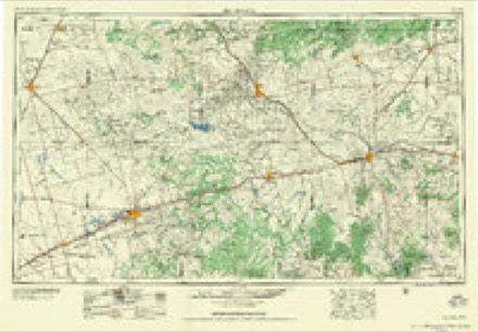
- 1958 USGS Big Spring quadrangle1:250000
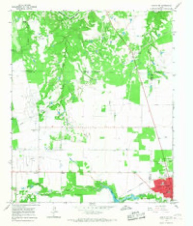
- 1965 USGS Hamlin NW quadrangle1:24000
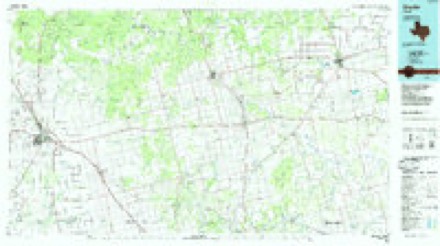
- 1985 USGS Snyder quadrangle1:100000, 2 printings
Fires near this place
87 since 2005Regional context, not property-specific evidence. The federal wildfire occurrence database lists 87 fires within 5 miles of Hamlin between 2005 and 2020, burning about 1,971 acres in total. 1 started naturally. None was recorded as arson. Distance is straight-line from the map coordinates, so a fire counted here may appear on a neighbouring settlement's page as well.
| Reported cause | Fires |
|---|---|
| Debris and open burning | 35 |
| Missing data/not specified/undetermined | 31 |
| Equipment and vehicle use | 12 |
| Smoking | 3 |
| Power generation/transmission/distribution | 3 |
| Misuse of fire by a minor | 2 |
| Natural | 1 |
The most recent of them, most recent first, with the day each was reported and the service that recorded it.
| Date | Cause | Size | Reported by | Name on the report |
|---|---|---|---|---|
| 4 September 2019 | Missing data/not specified/undetermined | 60 acres | Texas A & M Forest Service | GRASS FIRE |
| 4 September 2019 | Missing data/not specified/undetermined | 80 acres | Texas A & M Forest Service | GRASS |
| 29 September 2011 | Natural | 20 acres | Texas A & M Forest Service | COWPATTY |
| 19 September 2010 | Debris and open burning | 20 acres | Texas A & M Forest Service | GRASS FIRE |
| 6 August 2019 | Equipment and vehicle use | 1.0 acres | Texas A & M Forest Service | GRASS FIRE |
| 5 August 2011 | Equipment and vehicle use | 500 acres | Texas A & M Forest Service | BAILEY |
| 5 August 2011 | Equipment and vehicle use | 150 acres | Texas A & M Forest Service | JONES STONEWALL AND FISHER CO. LINE |
| 3 August 2011 | Missing data/not specified/undetermined | 1.0 acres | Texas A & M Forest Service | DITCH FIRE |
Settlements close enough to share some of these fires:
Mines and quarries near this place
1 within 5 milesRegional context, not property-specific evidence. The federal mineral resources record lists 1 working within 5 miles of Hamlin: 1 producer. All of them still produce. What was taken out: Gypsum-Anhydrite. Distance is straight-line from the map coordinates, so a quarry counted here may appear on a neighbouring settlement's page as well.
| Where | Site | Commodity | Status | Recorded |
|---|---|---|---|---|
| Hamlin Plant | Gypsum-Anhydrite | Producer |
Storms near this place
60 of 70 shownRegional context, not property-specific evidence. The National Weather Service names Hamlin in 70 storm reports between 1995 and 2021: 47 hail, 16 thunderstorm wind, 3 flash flood, 2 flood. No death or injury is recorded in these reports. Each account below is quoted exactly as the forecast office filed it, from the NOAA Storm Events Database, and each date opens the federal record of that event.
| When | Event | Place named | Harm | What the report says |
|---|---|---|---|---|
| August 2007 | Flash Flood | Hamlin | $25,000,000 | About 215 homes in Hamlin were flooded at low lying areas located near California Creek. Several residents had to be evacuated as the water level in their homes increase to 3 to 4 feet. Farm road 57 and County Road 123 were also closed. Throughout Jones county, a total of about 400 homes were damaged, along with several road and bridge approaches washed out. |
| June 1998 | Thunderstorm Wind | Hamlin | $1,000,000 | Winds estimated at 80 mph destroyed a barn and knocked down trees and power poles across the city |
| June 1998 | Hail | Hamlin | $1,000,000 | Golfball to tennis ball size hail fell in Hamlin for 20 minutes |
| June 1997 | Thunderstorm Wind | Hamlin | $200,000 | Strong winds destroyed a warehouse, ripped off a portion of a carwash, tore the roof off of a downtown store building, toppled a tall sign and a church steeple, and blew down some trees and power lines. |
| March 2004 | Thunderstorm Wind | Hamlin | $25,000 | The town of Hamlin received strong thunderstorm winds gusting to near 80 MPH for about 10 minutes. These winds resulted in damage to roofs and carports. Several power poles were also snapped. |
| May 2004 | Hail | Hamlin | $20,000 | A post office employee reported golf ball size hail fell from the community of Hamlin to 6 miles to the northeast of Hamlin. There were a few reports of cracked windshields. The hail fell for 45 minutes. |
| May 2005 | Hail | Hamlin | $20,000 | no account filed |
| June 2007 | Thunderstorm Wind | Hamlin | $12,000 | Several Trees were blown down around the Community of Hamlin. Only minor structural damage was reported. |
| July 1998 | Thunderstorm Wind | Hamlin | $6,000 | A carport was destroyed and portions of a neighbouring home severely damaged. Several large tree limbs were also snapped off. |
| June 2001 | Thunderstorm Wind | Hamlin | $5,000 | High winds moved a large water tank with 100 gallons of water in it about a quarter of a mile, destroying the tank. These same winds also blew 3 metal doors off a barn. |
| July 2002 | Thunderstorm Wind | Hamlin | $3,000 | High winds downed several trees and power lines around Hamlin. |
| April 2003 | Thunderstorm Wind | Hamlin | $1,000 | Power company reported power poles were knocked down due to high winds from a severe thunderstorm. |
| May 2021 | Flood | Hamlin | - | There was water in homes and street flooding was reported in Hamlin. Also FM 1661, FM 126 and FM 57 were closed in Jones County due to flooding. |
| April 2016 | Thunderstorm Wind | Hamlin | - | Law enforcement officials reported significant wind damage in Hamlin. A National Weather Service survey team found roofs blown off of buildings and some downed wood fences. These damaging winds blew out glass windows on a building and two vehicles. The damaging thunderstorms winds also knocked down trees and a power pole. |
| April 2016 | Hail | Hamlin | - | Law Enforcement reported golf ball size hail just north of Hamlin. |
| May 2016 | Hail | Hamlin | - | A member of the public reported golf ball size in Hamlin. |
| May 2016 | Thunderstorm Wind | Hamlin | - | The Hamlin Fire Department reported damaging thunderstorm winds broke a telephone pole, destroyed a carport and knocked down some tree limbs in Hamlin. |
| May 2015 | Thunderstorm Wind | Hamlin | - | Law enforcement officials in Hamlin estimated wind gusts to around 60 mph. |
| June 2014 | Thunderstorm Wind | Hamlin | - | A National Weather Service Cooperative Observer estimated a 60 mph wind gust from a thunderstorm. |
| May 2013 | Hail | Hamlin | - | A National Weather Service Cooperative Observer reported disc shaped hail that was about an inch in diameter. |
| May 2013 | Hail | Hamlin | - | A National Weather Service Cooperative Observer reported 1 inch hail covering the ground in Hamlin. |
| June 2013 | Hail | Hamlin | - | The public reported through the National Severe Storms Laboratory that hail began at 7:47 PM and ended at 8:06 PM. |
| June 2013 | Hail | Hamlin | - | A trained spotter in Hamlin reported penny size hail. |
| August 2013 | Thunderstorm Wind | Hamlin | - | The public reported numerous large pecan tree limbs down along with a flag pole that was bent a few feet above the ground. |
| August 2007 | Flash Flood | Hamlin | - | Evacuations took place in Hamlin. Farm Road 57 and County Road 123 were closed. |
| August 2007 | Flood | Hamlin | - | Law enforcement officials from Jones County reported the road closures on Highway 83 and Farm Road 126 near Hamlin, Highways 83 and 57 near Hamlin, Highway 92 between Stamford and Hamlin, and Farm Road 600 and 102 near Fort Phantom Hill Lake. |
| October 2001 | Hail | Hamlin | - | Golf ball size hail reported in Hamlin in northwest Jones County. |
| October 2001 | Flash Flood | Hamlin | - | Rainfall of 3 to 5 inches flooded the intersection of RR 1636 and Highway 83 in central Jones County. |
| May 1999 | Hail | Hamlin | - | Golf ball size hail cracked a car windshield just north of Hamlin. |
| May 1999 | Tornado (F0) | Hamlin | - | A tornado briefly touched down just west of Hamlin in northwest Jones County. |
| June 1998 | Thunderstorm Wind | Hamlin | - | Winds estimated at 70 mph |
| May 2021 | Hail | Hamlin | - | no account filed |
| May 2016 | Hail | Hamlin | - | no account filed |
| May 2015 | Hail | Hamlin | - | no account filed |
| May 2015 | Funnel Cloud | Hamlin | - | no account filed |
| June 2014 | Hail | Hamlin | - | no account filed |
| May 2013 | Hail | Hamlin | - | no account filed |
| May 2013 | Hail | Hamlin | - | no account filed |
| June 2013 | Hail | Hamlin | - | no account filed |
| June 2013 | Hail | Hamlin | - | no account filed |
| June 2013 | Hail | Hamlin | - | no account filed |
| February 2013 | Hail | Hamlin | - | no account filed |
| June 2013 | Hail | Hamlin | - | no account filed |
| April 2009 | Hail | Hamlin | - | no account filed |
| June 2009 | Hail | Hamlin | - | no account filed |
| June 2009 | Hail | Hamlin | - | no account filed |
| June 2005 | Hail | Hamlin | - | no account filed |
| May 2004 | Hail | Hamlin | - | no account filed |
| April 2004 | Hail | Hamlin | - | no account filed |
| May 2002 | Hail | Hamlin | - | no account filed |
| June 2002 | Thunderstorm Wind | Hamlin | - | no account filed |
| April 2001 | Hail | Hamlin | - | no account filed |
| April 2001 | Hail | Hamlin | - | no account filed |
| October 2001 | Hail | Hamlin | - | no account filed |
| March 2000 | Hail | Hamlin | - | no account filed |
| March 2000 | Hail | Hamlin | - | no account filed |
| September 2000 | Hail | Hamlin | - | no account filed |
| May 1998 | Thunderstorm Wind | Hamlin | - | no account filed |
| June 1998 | Hail | Hamlin | - | no account filed |
| June 1998 | Hail | Hamlin | - | no account filed |
Nearest settlements
The eight closest, with where each one stands in the county. Distances are straight-line, computed from the Geographic Names Information System coordinates.
Provenance
This settlement is recorded in the Geographic Names Information System as feature 1337284. The sheet list is computed by point-in-boundary test against the United States Geological Survey's historical topographic inventory. Both are works of the United States government and carry no copyright under 17 U.S.C. 105.
Wildfire. Short, Karen C. 2022. Spatial wildfire occurrence data for the United States, 1992-2020 [FPA_FOD_20221014]. 6th Edition. Fort Collins, CO: Forest Service Research Data Archive. https://doi.org/10.2737/RDS-2013-0009.6 Collected with United States Government funding and usable without additional permissions or fees.
Mines and quarries. USGS Mineral Resources Data System (MRDS) https://mrdata.usgs.gov/mrds/ A work of the United States government, no copyright under 17 U.S.C. 105.
Storms. NOAA National Centers for Environmental Information, Storm Events Database https://www.ncei.noaa.gov/stormevents/ A work of the United States government, no copyright under 17 U.S.C. 105. Narratives are quoted verbatim from the National Weather Service report and are not edited or summarised.