 Block
BlockKelton, Texas
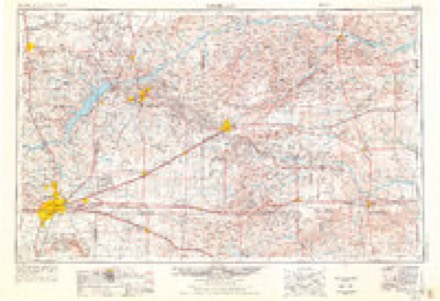
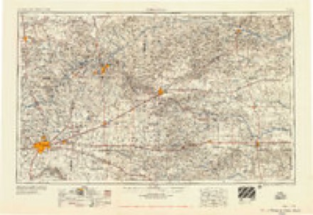
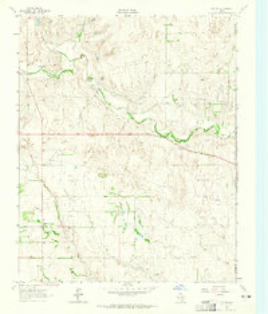
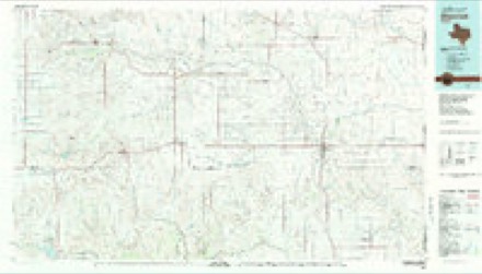
5 topographic sheets cover this place, the earliest surveyed in 1954 and the latest in 1983. It stands in the Wheeler census division. It lies in ZIP code area 79096. The Survey maps it on the Kelton quadrangle.
Topographic sheets covering this place
4 surveys from 5 printed sheetsMatched by testing this settlement's coordinate against the published boundary of every sheet in the United States Geological Survey's historical collection. Each opens the scanned sheet at the Survey.
- 1954 USGS Amarillo quadrangle1:250000, 2 printings
- 1958 USGS Amarillo quadrangle1:250000
- 1963 USGS Kelton quadrangle1:24000
- 1983 USGS Shamrock quadrangle1:100000
Fires near this place
106 since 2006Regional context, not property-specific evidence. The federal wildfire occurrence database lists 106 fires within 5 miles of Kelton between 2006 and 2020, burning about 7,909 acres in total. 26 started naturally. None was recorded as arson. Distance is straight-line from the map coordinates, so a fire counted here may appear on a neighbouring settlement's page as well.
| Reported cause | Fires |
|---|---|
| Equipment and vehicle use | 39 |
| Natural | 26 |
| Missing data/not specified/undetermined | 26 |
| Power generation/transmission/distribution | 10 |
| Debris and open burning | 4 |
| Smoking | 1 |
The most recent of them, most recent first, with the day each was reported and the service that recorded it.
| Date | Cause | Size | Reported by | Name on the report |
|---|---|---|---|---|
| 24 September 2013 | Equipment and vehicle use | 1.0 acres | Texas A & M Forest Service | BUCKINGHAM FIRE |
| 22 September 2011 | Natural | 1.0 acres | Texas A & M Forest Service | MOORE FIRE |
| 15 September 2015 | Equipment and vehicle use | 2.0 acres | Texas A & M Forest Service | STACK LOT |
| 15 September 2015 | Missing data/not specified/undetermined | 1.5 acres | Texas A & M Forest Service | STILES |
| 15 September 2010 | Natural | 100 acres | Texas A & M Forest Service | MILLS RANCH |
| 15 September 2010 | Natural | 15 acres | Texas A & M Forest Service | MOORE |
| 15 September 2010 | Natural | 5.0 acres | Texas A & M Forest Service | MOORE (2) |
| 7 August 2016 | Equipment and vehicle use | 150 acres | Texas A & M Forest Service | 64-2016 |
Settlements close enough to share some of these fires:
Storms near this place
34 since 1996Regional context, not property-specific evidence. The National Weather Service names Kelton in 34 storm reports between 1996 and 2025: 19 hail, 9 thunderstorm wind, 3 tornado, 2 flash flood. No death or injury is recorded in these reports. Each account below is quoted exactly as the forecast office filed it, from the NOAA Storm Events Database, and each date opens the federal record of that event.
| When | Event | Place named | Harm | What the report says |
|---|---|---|---|---|
| May 2003 | Tornado (F2) | Kelton | $200,000 | No injuries were reported. The tornado severely damaged several homes and outbuildings...uprooted or snapped large trees...and knocked down powerlines. The tornado crossed the Oklahoma and Texas state line along State Highway 152...fifteen miles east of the town of Wheeler. |
| February 2023 | Thunderstorm Wind | Kelton | $45,000 | Three snapped wood power poles found on damage survey. Estimated wind speeds of 100 mph. |
| February 2023 | Thunderstorm Wind | Kelton | $30,000 | Farm outbuilding had roof uplifted and destroyed. Nearby farm house also had a quarter of its shingles lost on the west side. Estimated wind speeds of 90 mph. |
| February 2023 | Thunderstorm Wind | Kelton | $10,000 | Eight wood power poles broken/snapped. Estimated wind speeds of 100 mph. |
| February 2023 | Thunderstorm Wind | Kelton | $5,000 | House or barn was significantly damaged, no longer standing. Tree was also uprooted and snapped in the area. |
| June 2025 | Tornado (EFU) | Kelton | - | This tornado was spotted and reported by a storm spotter near the Texas and Oklahoma state line. It was noted as a brief tornado. No other information is given about this tornado. |
| February 2023 | Tornado (EF1) | Kelton | - | Storm chaser video helped identify starting point. There was|eventually damage to an outbuilding which was the strongest|degree of damage where 110 mph winds were estimated. |
| February 2023 | Thunderstorm Wind | Kelton | - | Destroyed out buildings and several trees were reported down, 5 miles east of Kelton on Highway 2697. |
| May 2022 | Thunderstorm Wind | Kelton | - | A pivot irrigation system was flipped over due to high winds associated with a severe thunderstorm. |
| June 2019 | Hail | Kelton | - | Trained spotter reported hail larger than golf ball, but not quite the size of tennis ball. Storm started out as quarters and increased in sized over time. |
| June 2019 | Hail | Kelton | - | Large hail fell for 10 to 15 minutes. |
| April 2019 | Hail | Kelton | - | Late report received of hail along interstate 40 near the Oklahoma and Texas state line. |
| April 2019 | Hail | Kelton | - | Report received of quarter size hail from MPing. |
| May 2018 | Funnel Cloud | Kelton | - | Reported via Twitter. |
| May 2017 | Thunderstorm Wind | Kelton | - | Four telephone poles broken off at ground. Three to four trees also damaged. |
| April 2015 | Hail | Kelton | - | The public estimated hailstones the size of golf balls 7 miles northeast of Gageby. No damage was reported. |
| April 2015 | Hail | Kelton | - | The public measured 1.75 diameter hailstones 7 miles east of Wheeler. No damage was reported. |
| November 2012 | Hail | Kelton | - | The left moving portion of a storm split intensified as it moved across Wheeler County. As it moved north-northeast across the county it passed over a COOP observer in Allison (Wheeler County) who reported 1 inch hail. The storm continued to move to the north-northeast and exited state of Texas. |
| May 2010 | Hail | Kelton | - | The large hail was reported by the Fire Department near the intersection of County Road 29 and County Road O. |
| June 1997 | Flash Flood | Kelton | - | Flash flooding of Highway 152 north of Kelton. |
| August 2023 | Hail | Kelton | - | no account filed |
| April 2019 | Hail | Kelton | - | no account filed |
| April 2019 | Hail | Kelton | - | no account filed |
| May 2008 | Hail | Kelton | - | no account filed |
| May 2008 | Hail | Kelton | - | no account filed |
| May 2008 | Hail | Kelton | - | no account filed |
| May 2008 | Hail | Kelton | - | no account filed |
| May 2008 | Hail | Kelton | - | no account filed |
| June 2008 | Hail | Kelton | - | no account filed |
| May 2003 | Hail | Kelton | - | no account filed |
| May 2003 | Thunderstorm Wind | Kelton | - | no account filed |
| May 2002 | Hail | Kelton | - | no account filed |
| March 2000 | Thunderstorm Wind | Kelton | - | no account filed |
| September 1996 | Flash Flood | Kelton | - | no account filed |
Nearest settlements
The eight closest, with where each one stands in the county. Distances are straight-line, computed from the Geographic Names Information System coordinates.
Provenance
This settlement is recorded in the Geographic Names Information System as feature 1360554. The sheet list is computed by point-in-boundary test against the United States Geological Survey's historical topographic inventory. Both are works of the United States government and carry no copyright under 17 U.S.C. 105.
Wildfire. Short, Karen C. 2022. Spatial wildfire occurrence data for the United States, 1992-2020 [FPA_FOD_20221014]. 6th Edition. Fort Collins, CO: Forest Service Research Data Archive. https://doi.org/10.2737/RDS-2013-0009.6 Collected with United States Government funding and usable without additional permissions or fees.
Storms. NOAA National Centers for Environmental Information, Storm Events Database https://www.ncei.noaa.gov/stormevents/ A work of the United States government, no copyright under 17 U.S.C. 105. Narratives are quoted verbatim from the National Weather Service report and are not edited or summarised.