Block
BlockFrom the record
18 National Register listings published here.
Sources: the National Register database, National Park Service
24 topographic sheets cover 18 settlements here, and 18 properties are on the National Register of Historic Places.
18 National Register listings published here.
Sources: the National Register database, National Park Service
Every property in this county listed on the National Register of Historic Places, with the year it was listed and the federal nomination document.
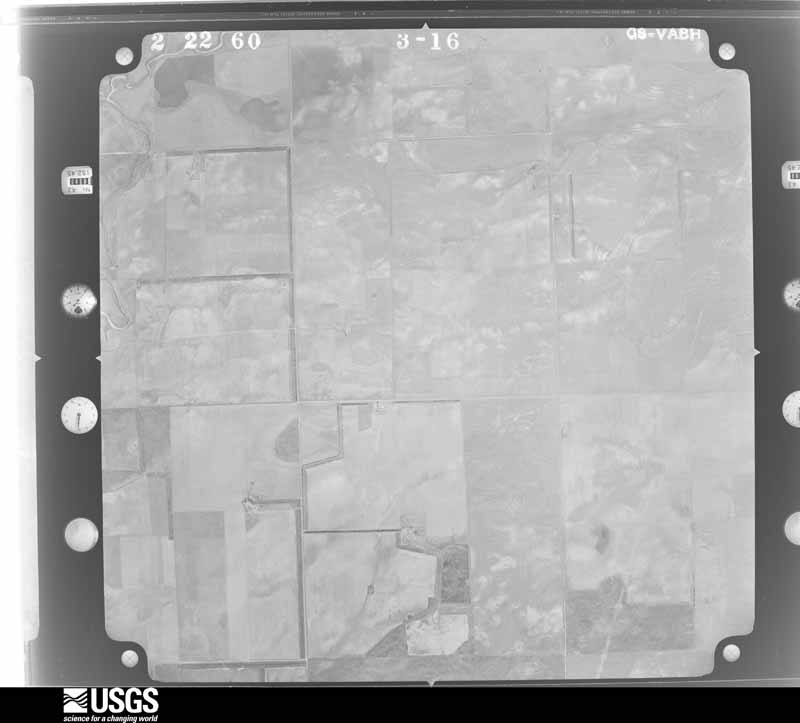
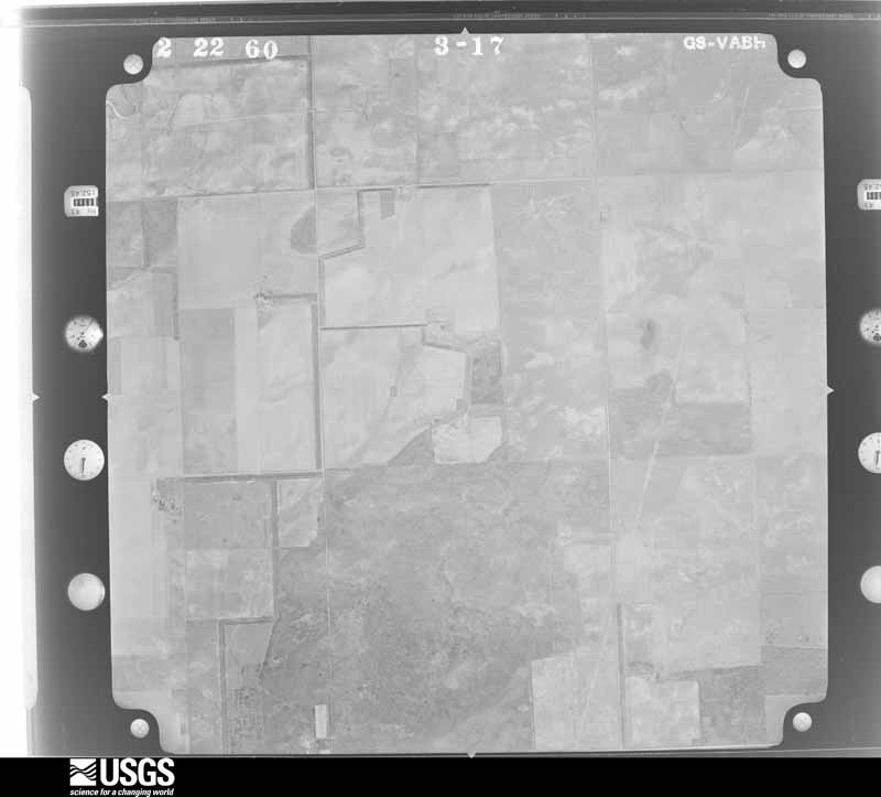
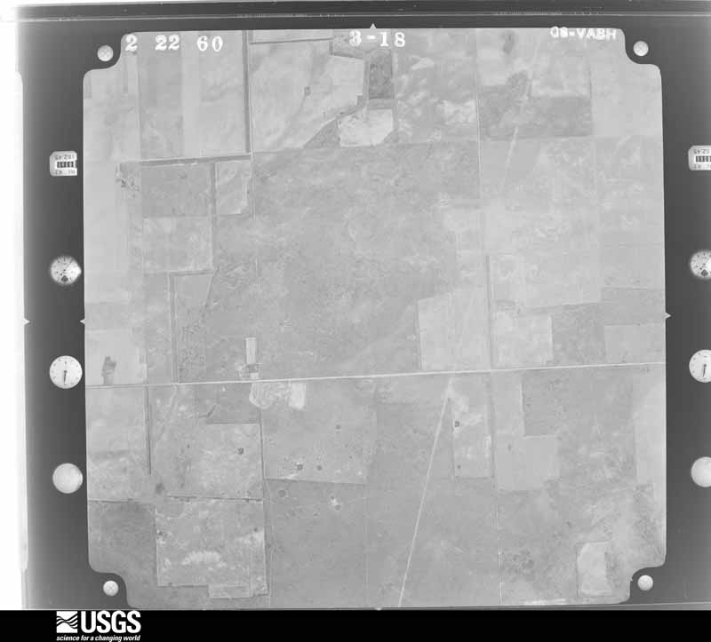
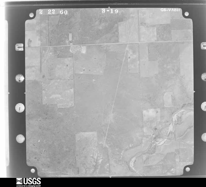
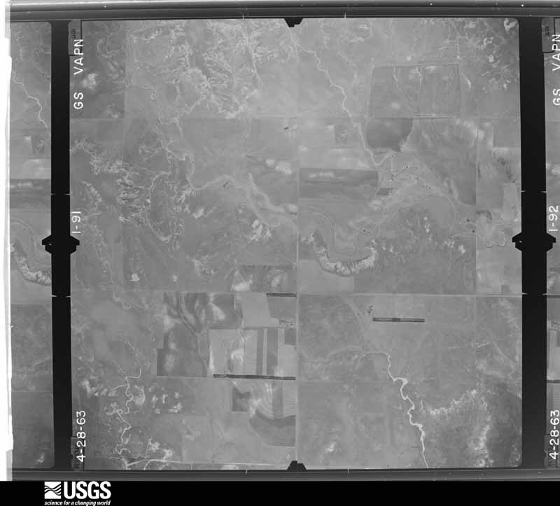
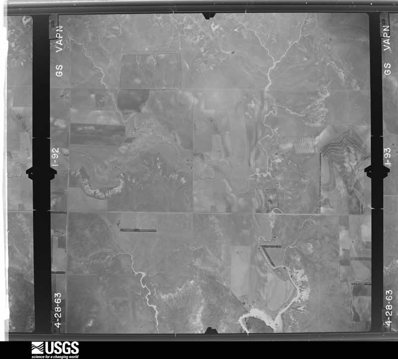
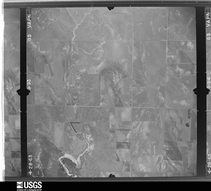
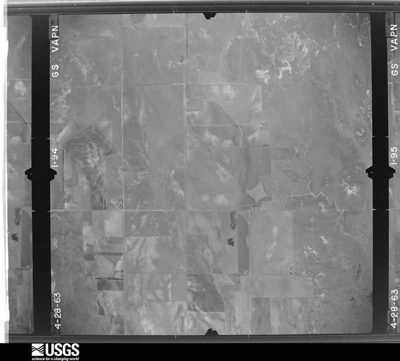
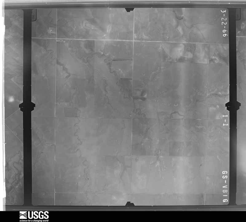
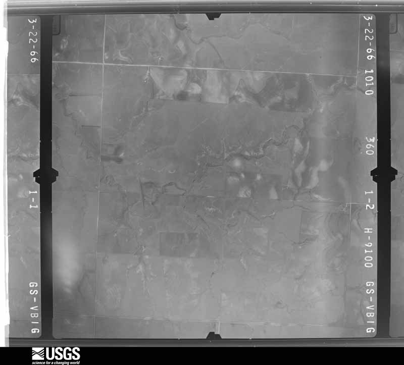
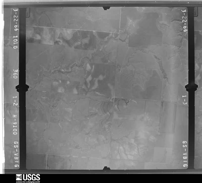
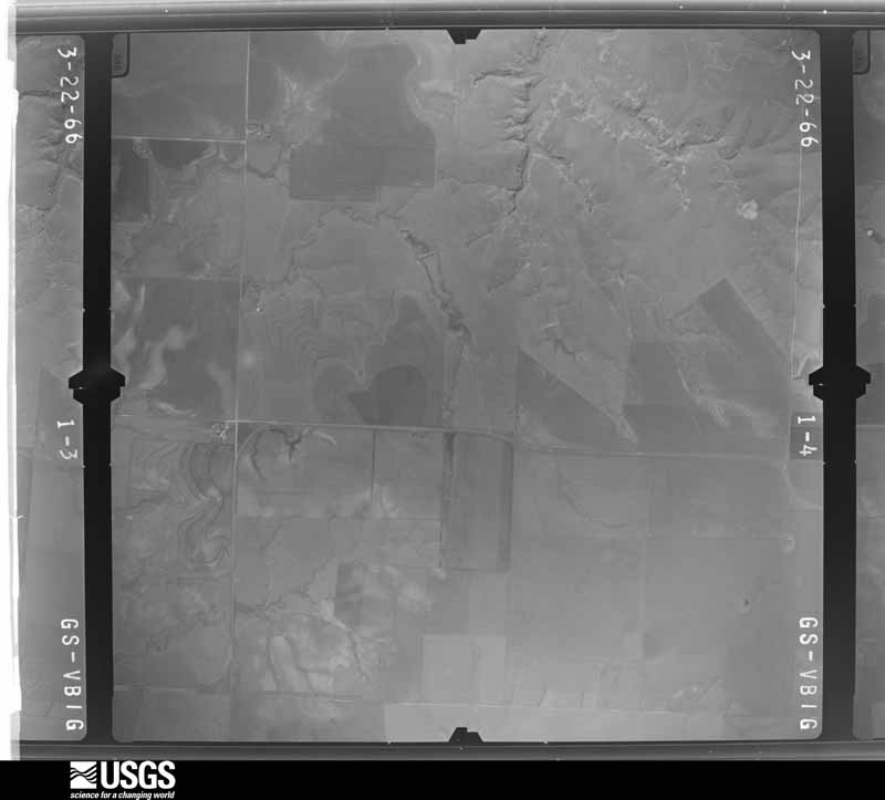
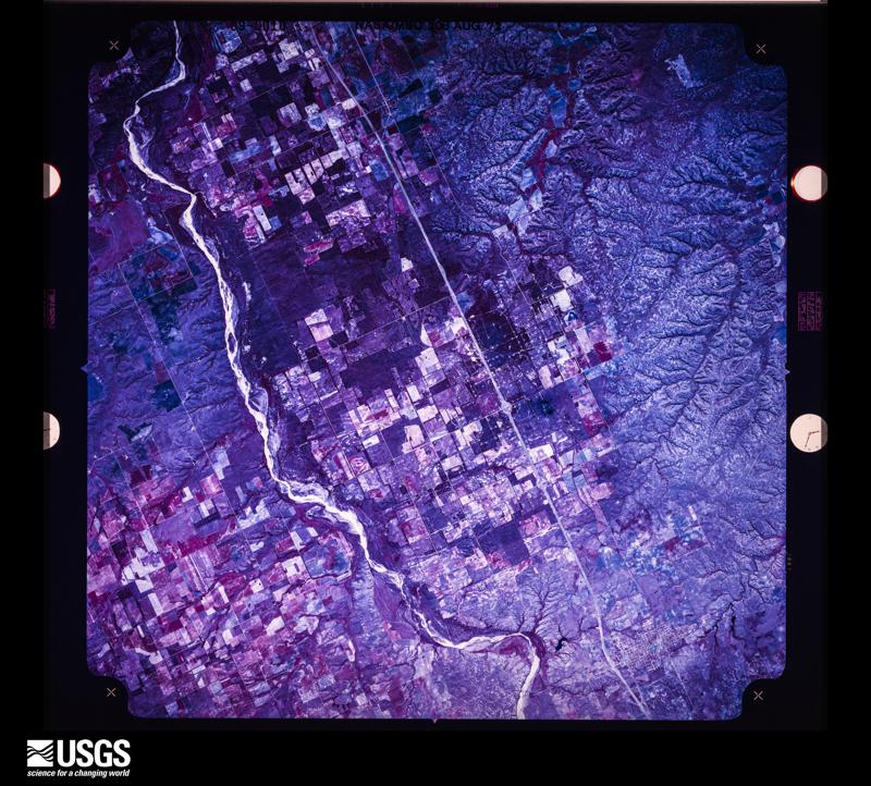
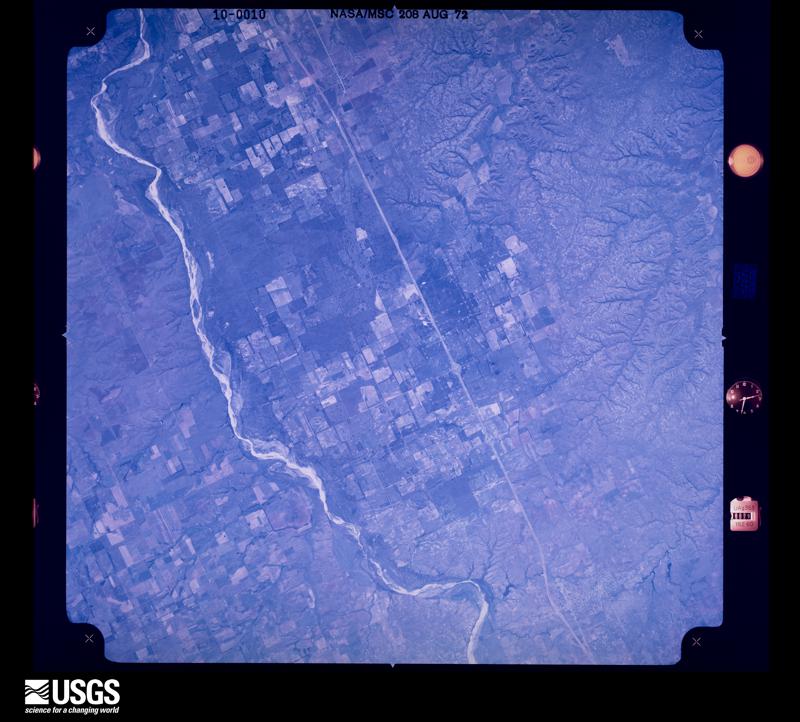
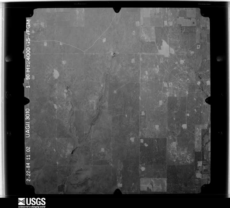
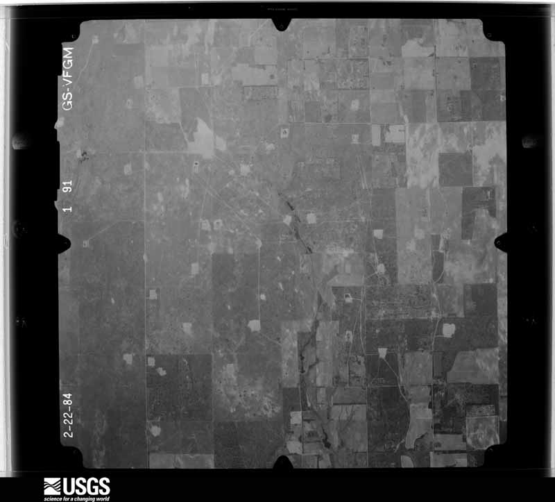
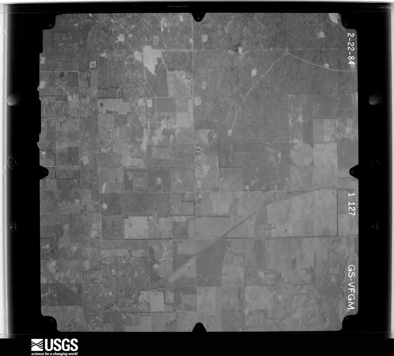
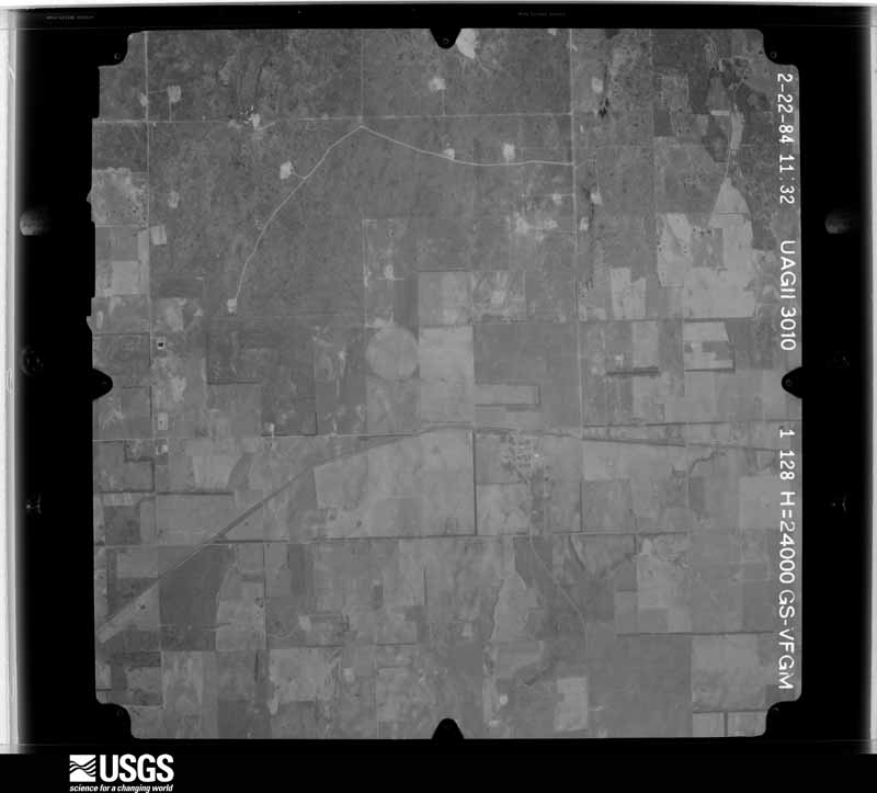
Flown by the U.S. Geological Survey between 1937 and 1989, the Aerial Photo Single Frames collection is the definitive mid-century view of the land: fields, roads and rivers as the camera saw them. The Survey holds 890 frames inside the rectangle that bounds this county; the 28 frames below were taken over the county itself, chosen across the decades of flights (at most four a year from that rectangle), so one flight cannot crowd out the rest. The full set is free to browse and download at EarthExplorer under the dataset Aerial Photo Single Frames.
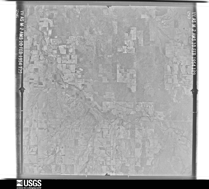
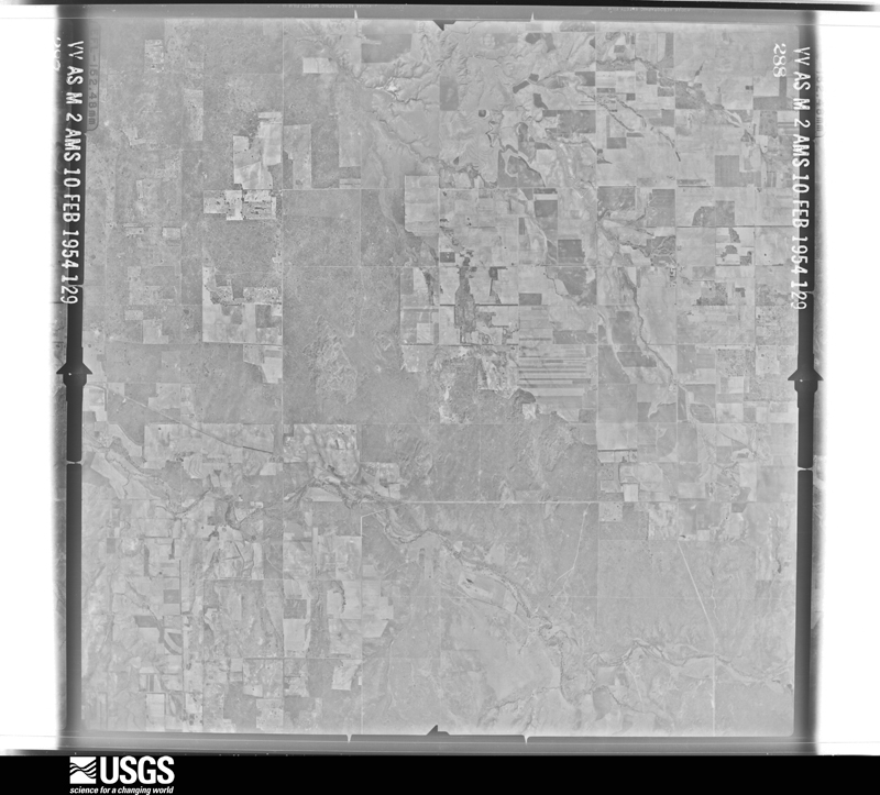
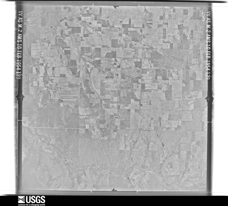
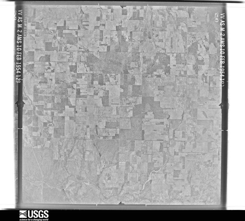
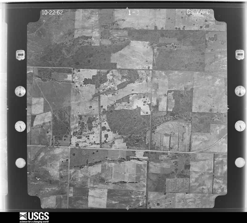
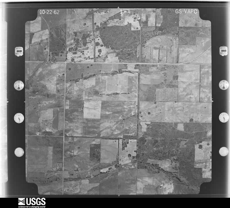
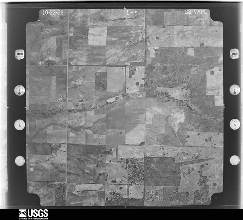
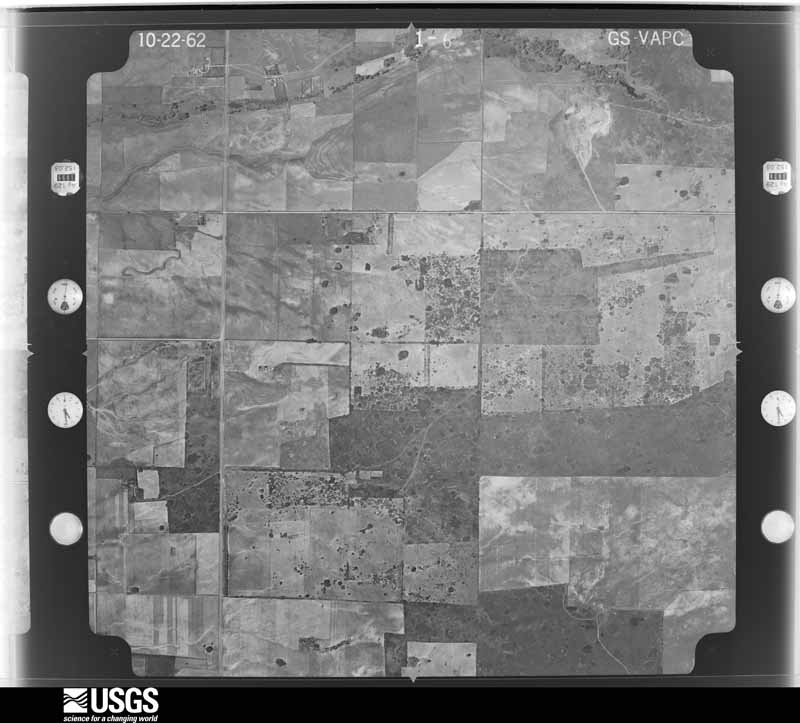


The thermometers that kept this county's weather, and the gages that measured the flow of its streams, as the federal records hold them. The extremes below are measured values from those records, not estimates.
Who lived here in 1950, one enumeration district at a time, as the Census Bureau described each district. Each row opens its official National Archives result, with Population Schedules and ED Maps available there.
Every wildfire the federal occurrence database records inside this county: 616 of them, burning about 88,844 acres. 118 started naturally and 19 were recorded as arson. Each settlement page carries the fires within five miles of it.
| Reported cause | Fires |
|---|---|
| Equipment and vehicle use | 195 |
| Missing data/not specified/undetermined | 177 |
| Natural | 118 |
| Power generation/transmission/distribution | 45 |
| Debris and open burning | 43 |
| Arson/incendiarism | 19 |
| Smoking | 10 |
| Misuse of fire by a minor | 9 |
The five largest, by the area the report gives. None of them was recorded as arson.
| Date | Cause | Size | Reported by | Name on the report |
|---|---|---|---|---|
| 23 March 2016 | Missing data/not specified/undetermined | 15,174 acres | Texas A & M Forest Service | I40 |
| 4 April 2009 | Missing data/not specified/undetermined | 15,000 acres | Lake Meredith National Recreation Area | MAGIC CITY |
| 13 April 2018 | Power generation/transmission/distribution | 12,530 acres | Texas A & M Forest Service | CARBON |
| 1 January 2006 | Missing data/not specified/undetermined | 3,091 acres | Texas A & M Forest Service | WEST ZONE WEST - 7 |
| 27 February 2011 | Equipment and vehicle use | 2,500 acres | Texas A & M Forest Service | MOORE |
| 23 March 2016 | Missing data/not specified/undetermined | 2,160 acres | Texas A & M Forest Service | MOORE |
| 23 March 2017 | Missing data/not specified/undetermined | 2,000 acres | Texas A & M Forest Service | PAKEN FIRE |
| 16 December 2016 | Missing data/not specified/undetermined | 2,000 acres | Texas A & M Forest Service | 95-2016 |
Every settlement page carries the fires within five miles of it - see the settlement index below.
The NOAA Storm Events Database holds 566 reports for this county, causing 1 death, 27 injuries and about $14,754,500 in recorded property damage. Each settlement page carries the reports that name it.
| Kind of event | Reports |
|---|---|
| Hail | 380 |
| Thunderstorm Wind | 102 |
| Tornado | 58 |
| Flash Flood | 15 |
| Funnel Cloud | 5 |
| Heavy Rain | 3 |
| Flood | 3 |
The most serious of them, by death, then injury, then recorded damage. The accounts are quoted exactly as the forecast office filed them.
| When | Event | Place named | Harm | What the report says |
|---|---|---|---|---|
| June 1965 | Tornado (F3) | not stated | 1 killed, 1 hurt, $25,000 | no account filed |
| June 1997 | Tornado (F3) | Kellerville | 13 hurt, $1,700,000 | Tornado occurred near Pakan community on CR 453. Twelve homes damaged or destroyed along with 13 vehicles on Interstate 40. Two inch diameter hail fell along most of the tornado path. Tornado track was determined by official storm survey. |
| May 1980 | Tornado (F2) | not stated | 6 hurt, $250 | no account filed |
| May 1955 | Tornado (F4) | not stated | 5 hurt, $25,000 | no account filed |
| April 1990 | Tornado (F1) | not stated | 1 hurt, $2,500 | no account filed |
| June 2018 | Thunderstorm Wind | Wheeler | 1 hurt | Multiple trees and power lines down throughout the town of Wheeler. 5 people trapped in a home, roof collapsed. One house destroyed in northwest Wheeler. Tree fell on vehicle trapping two people. One person transported to hospital with injuries. |
| June 1995 | Tornado (F4) | Kellerville | $8,000,000 | Three additional tornadoes were added to the storm data based on video provided by National Weather Service employee. Fortunately, these were over open country with the only damage occurring to power lines. The one tornado crossed the county line from Donley into Gray at about 1718CST. A violent tornado dropped down just north of McLean and moved north northeast. Several homes received minor damage north of McLean with the Crockett estate, on County Line road, having two homes destroyed and another seriously damaged. But the main destruction occurred in Wheeler county at the Wheeler Stock Yard and several hundred cattle there. A few other businesses received significant damage from this tornado. This last tornado had two small satellite tornadoes with it and crossed the county line between Gray and Hemphill at 1755CST. The start and end times for this tornado have been modified based on additional information. |
| June 1995 | Tornado (F4) | Allison | $2,000,000 | no account filed |
| July 1994 | Thunderstorm Wind | Shamrock | $500,000 | Thunderstorms across the central Texas panhandle produced dime- to quarter-size hail and 60 mph winds. These reports came for EOC's, Sheriff Offices, radio stations, and storm spotters. In Wheeler County thunderstorm winds took portions of the roof from the Best Western Irish Inn and deposited it on six cars, exposing 18 rooms. Total wind damage in the community of Shamrock was in excess of $200K. |
| June 1997 | Hail | Shamrock | $250,000 | Numerous reports of golfball to baseball size hail in Shamrock and there was extensive damage. |
| May 1991 | Tornado (F3) | not stated | $250,000 | no account filed |
| April 1973 | Tornado (F2) | not stated | $250,000 | no account filed |
| May 2003 | Tornado (F2) | Kelton | $200,000 | No injuries were reported. The tornado severely damaged several homes and outbuildings...uprooted or snapped large trees...and knocked down powerlines. The tornado crossed the Oklahoma and Texas state line along State Highway 152...fifteen miles east of the town of Wheeler. |
| May 2003 | Tornado (F1) | Lela | $150,000 | No injuries were reported. The tornado completely overturned several vehicles along Interstate 40 near Lela...damaged several homes and a few businesses in Lela...and destroyed a manufactured home northeast of Lela. |
| April 2001 | Tornado (F2) | Wheeler | $150,000 | An official storm damage survey was made of the estimated tornado path length and width. A home and farm equipment were severely damaged. Several large trees and power poles were also knocked down. Several areas of non-tornadic downburst winds were also assessed...primarily in the west and southwest areas of Wheeler county. |
| April 2000 | Thunderstorm Wind | Mobeetie | $150,000 | Cattle truck was blown over by damaging winds. |
| March 2024 | Tornado (EF1) | Shamrock | $75,000 | This quick, brief tornado touched down to the north of I-40. Spotters reported a funnel cloud had crossed I-40, but no damage was noted. The tornado caused damage to the Dalton O Gorman Rodeo Arena. Here it caused roof damage where a large section of the eastern half of the roof was blown off and the south facing wall was blown down. No other damage occurred in this area so it is believed to be a narrow path. The tornado|lifted soon thereafter. The estimated winds with this tornado was 100mph. |
| May 1996 | Hail | Mobeetie | $75,000 | no account filed |
| May 1995 | Hail | Wheeler | $75,000 | no account filed |
| April 2001 | Thunderstorm Wind | Shamrock | $70,000 | An eighteen wheeler was reported blown over and a house lost its roof. |
| June 2007 | Thunderstorm Wind | Shamrock | $67,000 | Reported that three semi trucks had been blown over near the town of Shamrock. No injuries or fatalities were reported. |
| June 1994 | Thunderstorm Wind | Lela | $50,000 | A brief tornado was reported by a storm spotter on the eastern edge of Higgins over an open field. As the strong outflow winds crossed Wheeler County numerous trees were uprooted at Lela and several vehicles were blown off of Interstate 40 east of Lela according to Shamrock Police. |
| June 1996 | Thunderstorm Wind | Shamrock | $50,000 | no account filed |
| December 1993 | Thunderstorm Wind | Shamrock | $50,000 | no account filed |
| February 2023 | Thunderstorm Wind | Kelton | $45,000 | Three snapped wood power poles found on damage survey. Estimated wind speeds of 100 mph. |
| March 2000 | Thunderstorm Wind | Wheeler | $36,000 | Several roofs blown off along with several power poles down. |
| May 1995 | Hail | Texola | $35,000 | A significant severe weather day with five tornadoes and hail up to softball-size. Damage in Pampa was estimate at over $200,000. The majority of the remaining damage occurred to automobile along highway corridors. All five tornadoes we over open county and were reported by Skywarn spotters, Vortex spotters or local TV meteorologists. |
| February 2023 | Thunderstorm Wind | Kelton | $30,000 | Farm outbuilding had roof uplifted and destroyed. Nearby farm house also had a quarter of its shingles lost on the west side. Estimated wind speeds of 90 mph. |
| June 2005 | Thunderstorm Wind | Allison | $29,000 | A tree was reportedly blown over onto a cafe and the windows were broken along with roof damage. |
| May 1995 | Hail | Shamrock | $25,000 | no account filed |
| April 1990 | Tornado (F1) | not stated | $25,000 | no account filed |
| June 1990 | Tornado (F1) | not stated | $25,000 | no account filed |
| June 1990 | Tornado (F2) | not stated | $25,000 | no account filed |
| May 1965 | Tornado (F0) | not stated | $25,000 | no account filed |
| April 1957 | Tornado (F2) | not stated | $25,000 | no account filed |
| April 1955 | Tornado (F3) | not stated | $25,000 | no account filed |
| March 2007 | Thunderstorm Wind | Shamrock | $23,000 | Metal building roof caved in and windows and doors were blown out by the high winds. Two houses had their roof raised and several trees with eight inch diameter limbs were blown down. No injuries were reported. |
| March 2007 | Thunderstorm Wind | Wheeler | $21,000 | Whole cottonwood trees were blown over by the high winds. Powerlines and power poles were blown down. Overhead doors blown out of a barn. No injuries were reported. |
| June 2025 | Hail | Briscoe | $15,000 | Windshields were broken from large hail up to 4.5 inches that fell. |
| February 2023 | Thunderstorm Wind | Shamrock | $15,000 | Power lines were reported down in Shamrock. |
| June 1999 | Thunderstorm Wind | Shamrock | $15,000 | Report of eighteen-wheeler blown over on the eastern edge of Shamrock on Interstate 40. |
| August 2006 | Thunderstorm Wind | Lela | $12,000 | An old barn was reported blown down by the high winds. |
| June 2006 | Thunderstorm Wind | New Mobeetie | $12,000 | Hay barn reported blown two hundred yards by the high winds at County Road 9 and Farm to Market Road 1046. |
| May 2002 | Thunderstorm Wind | Allison | $12,000 | Numerous trees and powerlines were reported down along with three barns blown over. |
| February 2023 | Thunderstorm Wind | Kelton | $10,000 | Eight wood power poles broken/snapped. Estimated wind speeds of 100 mph. |
| October 2000 | Thunderstorm Wind | Shamrock | $10,000 | Tractor-trailer trucks were reported blown over by the high winds. |
| April 2012 | Hail | Shamrock | $10,000 | no account filed |
| July 2025 | Thunderstorm Wind | Wheeler | $9,000 | A power pole was blown down and multiple large tree branches were snapped across the town. |
| June 2009 | Thunderstorm Wind | Wheeler | $7,000 | A car port was blown over and windows to a sports utility vehicle were blown out by thunderstorm wind gusts. |
| September 2007 | Thunderstorm Wind | Crossroads | $7,000 | A forty-foot television antenna was reportedly blown down by the high winds. |
| August 2004 | Thunderstorm Wind | Wheeler | $6,000 | Trampoline was blown over and onto a house. |
| February 2023 | Thunderstorm Wind | Kelton | $5,000 | House or barn was significantly damaged, no longer standing. Tree was also uprooted and snapped in the area. |
| August 2020 | Thunderstorm Wind | Wheeler | $5,000 | HVAC ducting blown off of a roof. Public report relayed by broadcast media. |
| April 2014 | Hail | New Mobeetie | $5,000 | A supercell moved over the town of Mobeetie (Wheeler County) during the early evening hours of the 20th. While over the town, a trained storm spotter reported hen egg (2.00 inches) size hail. They also reported that the hail caused damage to a residential home. The storm continued to slowly move to the southeast after producing this hail. |
| August 2012 | Thunderstorm Wind | New Mobeetie | $5,000 | The thunderstorm wind gusts caused damage to a center pivot system. There were no reports of injuries or fatalities. |
| July 2009 | Thunderstorm Wind | Wheeler | $5,000 | An off-duty National Weather Service employee reported that there were power poles blown down and there was also some damage to tree limbs. |
| June 1994 | Thunderstorm Wind | Lela | $5,000 | A brief tornado was reported by a storm spotter on the eastern edge of Higgins over an open field. As the strong outflow winds crossed Wheeler County numerous trees were uprooted at Lela and several vehicles were blown off of Interstate 40 east of Lela according to Shamrock Police. |
| May 1993 | Tornado (F1) | Allison | $5,000 | Line of severe thunderstorms created strong outflow winds, hail up to golf ball-size and a tornado that damaged a grain elevator and wrapped a trampolin around a tree. |
| April 1999 | Thunderstorm Wind | Briscoe | $5,000 | no account filed |
| September 2013 | Flash Flood | Lela | $3,000 | A series of thunderstorm lines moved across the southern Texas Panhandle from the evening hours of the 27th through the early morning hours of the 28th. These thunderstorms were able to tap into a highly moist atmosphere to produce periods of heavy rain. This heavy rain led to flash flooding across portions of Wheeler County. The Wheeler County Sheriff's Office reported a stranded motorist on County Road 8 near Interstate 40 due to flash flooding. The occupant was assisted by law enforcement officials to escape the flood waters. Flash flooding persisted for a few hours after precipitation had ended across the county before diminishing a little before 5 AM CST. |
Named settlements recorded in the Geographic Names Information System, each with the topographic sheets covering it. Villages, hamlets and abandoned places alike. Each is shown with the nearest named watercourse or landform and the survey quadrangle it falls on.
Shamrock census division · 79079 · On Huselby Creek · Pond Creek quadrangle
6 sheets, 1954 to 1983