 Block
BlockLa Feria, Texas
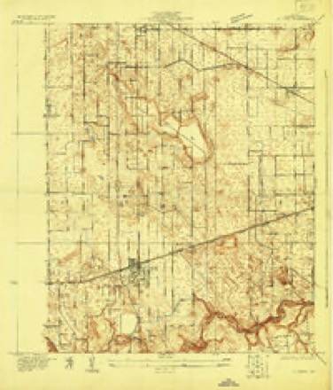
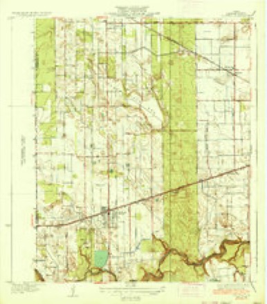
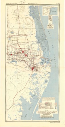
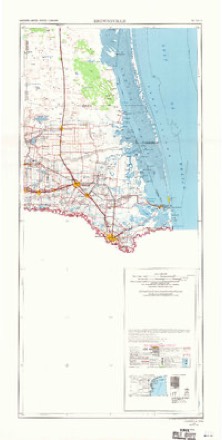
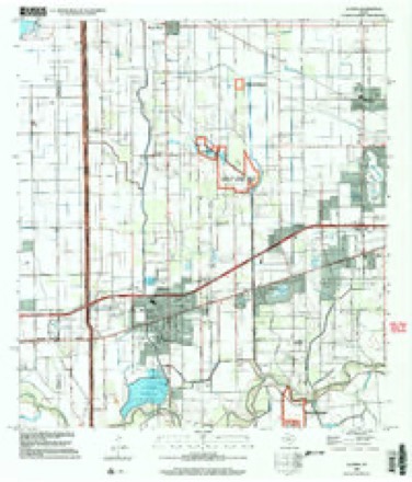
13 topographic sheets cover this place, the earliest surveyed in 1929 and the latest in 2002. It stands in the Harlingen-San Benito census division. It lies in ZIP code area 78559. The Survey maps it on the La Feria quadrangle. 6,817 people lived here at the 2020 count. It stands 56 feet above sea level.
Population over time
2 figuresLa Feria fell from 7,302 to 6,817 between 2010 and 2020. These are the recorded population figures Wikidata holds for this place, reached through the Geographic Names Information System number this page is keyed on rather than by name, so they belong to this place and not to another of the same name. Most are census counts, but not all are: an early figure may be a founding or settlement estimate, and an estimate published within five years of a census is left out. The change column is computed, and is left blank where more than 20 years separate a figure from the one before it, because a gap that long is not a change between two counts.
| Year | People | Change |
|---|---|---|
| 2010 | 7,302 | |
| 2020 | 6,817 | -485 (-7%) |
Topographic sheets covering this place
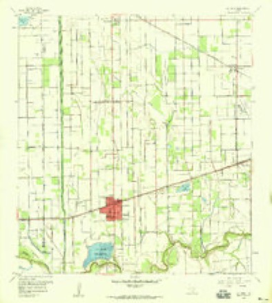
9 surveys from 13 printed sheetsMatched by testing this settlement's coordinate against the published boundary of every sheet in the United States Geological Survey's historical collection. Each opens the scanned sheet at the Survey.
- 1929 USGS La Feria quadrangle1:24000
- 1936 USGS La Feria quadrangle1:31680, 3 printings
- 1953 USGS Brownsville quadrangle1:250000
- 1956 USGS Brownsville quadrangle1:250000, 2 printings
- 1956 USGS La Feria quadrangle1:24000, 2 printings
- 1956 USGS Port Isabel quadrangle1:250000
- 1962 USGS Brownsville quadrangle1:250000
- 1992 USGS Harlingen quadrangle1:100000
- 2002 USGS La Feria quadrangle1:24000
Fires near this place
123 since 1993Regional context, not property-specific evidence. The federal wildfire occurrence database lists 123 fires within 5 miles of La Feria between 1993 and 2019, burning about 1,995 acres in total. 2 started naturally. 41 were recorded as arson. Distance is straight-line from the map coordinates, so a fire counted here may appear on a neighbouring settlement's page as well.
| Reported cause | Fires |
|---|---|
| Debris and open burning | 44 |
| Arson/incendiarism | 41 |
| Missing data/not specified/undetermined | 29 |
| Equipment and vehicle use | 3 |
| Natural | 2 |
| Railroad operations and maintenance | 2 |
| Smoking | 1 |
| Other causes | 1 |
The most recent of them, most recent first, with the day each was reported and the service that recorded it.
| Date | Cause | Size | Reported by | Name on the report |
|---|---|---|---|---|
| 3 August 1993 | Debris and open burning | 10 acres | Lower Rio Grande Valley National Wildlife Refuge | TIOCANO2 |
| 25 August 2009 | Missing data/not specified/undetermined | under an acre | Lower Rio Grande Valley National Wildlife Refuge | ADAMS CANAL N/O |
| 24 August 2004 | Arson/incendiarism | under an acre | Lower Rio Grande Valley National Wildlife Refuge | CORNER |
| 23 August 2004 | Debris and open burning | under an acre | Lower Rio Grande Valley National Wildlife Refuge | 2556 |
| 23 August 2004 | Arson/incendiarism | 30 acres | Lower Rio Grande Valley National Wildlife Refuge | LA FERIA |
| 23 August 2004 | Smoking | 3.0 acres | South Texas Refuge Complex | 9 MILE |
| 18 August 2009 | Debris and open burning | under an acre | Lower Rio Grande Valley National Wildlife Refuge | RESACA DE LOS FRESNOS |
| 27 July 2010 | Natural | 1.0 acres | Lower Rio Grande Valley National Wildlife Refuge | CANE |
Settlements close enough to share some of these fires:
Storms near this place
18 since 1996Regional context, not property-specific evidence. The National Weather Service names La Feria in 18 storm reports between 1996 and 2023: 5 thunderstorm wind, 5 hail, 3 flash flood, 3 flood. No death or injury is recorded in these reports. Each account below is quoted exactly as the forecast office filed it, from the NOAA Storm Events Database, and each date opens the federal record of that event.
| When | Event | Place named | Harm | What the report says |
|---|---|---|---|---|
| April 2023 | Thunderstorm Wind | La Feria | $5,000 | An NWS Storm Survey found several power poles and transmission lines blown down along US 83 near Bixby Road in western Cameron County. |
| August 2008 | Flash Flood | La Feria | $5,000 | Three separate intense thunderstorm cells developed near the Cameron/Hidalgo County line just north of the Rio Grande between 2 PM CDT and 4 PM CDT, each tracking northward and dumping heavy rains over western Cameron County, generally between Santa Maria and La Feria. Doppler radar estimated 4 to 5 inches of rainfall over prior flooded poor drainage areas from Hurricane Dolly, exactly a month earlier, over and just south of La Feria. It is likely that additional flooding developed in poor drainage areas affected by the heavy rainfall. |
| May 2015 | Thunderstorm Wind | La Feria | $1,000 | La Feria Police Department reported a utility pole leaning heavily on a palm tree due to thunderstorm wind gusts at the intersection of Frontage Road and Solis Road and a tree blown down in the alley between 7th and 8th streets. |
| August 2008 | Flash Flood | La Feria | $1,000 | Torrential rainfall estimated by radar to be at least 4 inches over a two hour period, combined with continued poor drainage from Hurricane Dolly back in late July, compounded by additional rains since around the 17th of August, produce an urban flood which quickly became a marginal flash flood, with waters rising to at least one to one and a half feet on Canal Street generally between 6th and 9th Street in La Feria, between 1515 and 1615 CDT. Structural or road damage details were not available as of this writing. |
| April 2023 | Hail | La Feria | - | Multiple people reported hail of 0.5 inch to 1.25 inches in the La Feria area of Cameron County. |
| July 2020 | Flood | La Feria | - | High standing water due to a total of 7 to 12 inches of rainfall that fell directly from Hurricane/Tropical Storm Hanna from late on July 25th through early afternoon on July 26th continued to close roads and stand in neighborhoods, fields, and ditches through the end of July in western Cameron County, from the Cameron/Hidalgo and Cameron/Willacy County lines through the west side of Harlingen. An additional 2 to 5 inches fell during the late afternoon and early evening of July 27th from an unrelated tropical rain band, leaving total rainfall of 10 to 15 inches in the area. ||A combination of the heavy rain with known drainage capacity issues in the form of pumps, pipes, and retention kept water levels ranging from 18 inches to four feet deep on at least a dozen roads, including portions of SR 107 around Santa Rosa as well as along Farm-to-Market Road 506 between La Feria and Santa Rosa, continuing north to near the Willacy County line and east to near Primera and Palm Valley. Fields saw similar water levels, and low lying neighborhoods had high water near homes, with spot-built farm homes seeing some water inside. Santa Rosa to La Feria had similar high water for a third straight summer. | |Another round of heavy rainfall of 1 to 4 inches arrived during the evening of August 1st, prolonging the high water for a few more days into the following month, before dry weather arrived and allowed all water to recede. ||Note: Public Assistance (which includes damage to roads and bridges) and Crop damage is listed on the Flash Flood event in western Cameron County for brevity. Individual assistance and insured damage estimated from the National Flood Insurance Program of FEMA, which was estimated at nearly $10 million, was added to the flash flood entry for Cameron County for brevity, as mentioned above. |
| July 2020 | Flash Flood | La Feria | - | A second round of rainfall dropped an estimated 2 to 5 inches of rain in about two hours between la Feria and Santa Rosa, exacerbating ongoing flooding in western Cameron County and leaving pockets of 2 to 4 feet of water in roads, neighborhoods, and ditches. Public assistance property damage is listed in the episode for Hurricane Hanna, as it was the trigger event for the continuation of the flooding. Crop damage (Cotton, other dryland crops) due to the heavy rain is listed in the episode for Hurricane Hanna. |
| August 2020 | Flood | La Feria | - | Emergency management continued to report road closures across portions of northwest Cameron County due to ongoing flooding from rainfall from Hurricane Hanna, along with additional rainfall at the end of July and then the rainfall on August 1st. Road closures from standing water were reported through the afternoon of August 8th, with gradual improvement over the course of the first week of August as no additional significant rainfall fell. Note: Estimated flood damage from this event is included in the Hanna episode as part of July 2020 Storm Data. |
| June 2019 | Flood | La Feria | - | Police briefly closed the Solis Road exit along westbound Interstate Highway 2 (frontage) due to minor nuisance flooding. |
| December 2012 | Hail | La Feria | - | The public reported quarter to half dollar size hail fell in La Feria, near FM 506. The hail lasted for a few minutes. |
| May 2012 | Hail | La Feria | - | Public reported quarter size hail near La Feria. |
| September 2009 | Hail | La Feria | - | A trained spotter reported hail up to one inch in size fell for about 5 minutes near La Feria during a thunderstorm which moved through the area. |
| September 2009 | Thunderstorm Wind | La Feria | - | The La Feria Police Department reported winds gusts estimated to be approximately 60 miles per hour occurred during a thunderstorm which also produced pea size hail at their office. |
| September 2002 | Thunderstorm Wind | La Feria | - | Strong thunderstorm winds downed trees and damaged power lines, resulting in loss of power to residents. |
| August 2003 | Hail | La Feria | - | no account filed |
| August 2003 | Thunderstorm Wind | La Feria | - | no account filed |
| June 1996 | Heavy Rain | La Feria | - | no account filed |
| August 1996 | Tornado (F0) | La Feria | - | no account filed |
Nearest settlements
The eight closest, with where each one stands in the county. Distances are straight-line, computed from the Geographic Names Information System coordinates.
| Map | Place | Distance | Sheets |
|---|---|---|---|
| North La Feria Village Colonia | 0.6 miles | 13 | |
| Valle Verde Colonia | 0.7 miles | 13 | |
| Windsong Village Colonia | 0.9 miles | 13 | |
| Barrington Heights Colonia | 1.0 miles | 13 | |
| La Feria Gardens Colonia | 1.0 miles | 13 | |
| Solis | 1.1 miles | 13 | |
| Nancy Colonia | 1.1 miles | 13 | |
| Robles Ranch Colonia | 1.1 miles | 13 |
Elsewhere
Matched on this settlement's Geographic Names Information System number rather than its name, so it cannot be a different place of the same name in another state.
| Wikipedia article on La Feria | An encyclopaedic summary. Its text is share-alike, so it is linked here rather than copied. |
| Wikidata item Q631720 | The structured record the population and elevation above come from. Public domain (CC0). |
Provenance
This settlement is recorded in the Geographic Names Information System as feature 1339313. The sheet list is computed by point-in-boundary test against the United States Geological Survey's historical topographic inventory. Both are works of the United States government and carry no copyright under 17 U.S.C. 105.
Wildfire. Short, Karen C. 2022. Spatial wildfire occurrence data for the United States, 1992-2020 [FPA_FOD_20221014]. 6th Edition. Fort Collins, CO: Forest Service Research Data Archive. https://doi.org/10.2737/RDS-2013-0009.6 Collected with United States Government funding and usable without additional permissions or fees.
Storms. NOAA National Centers for Environmental Information, Storm Events Database https://www.ncei.noaa.gov/stormevents/ A work of the United States government, no copyright under 17 U.S.C. 105. Narratives are quoted verbatim from the National Weather Service report and are not edited or summarised.