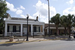
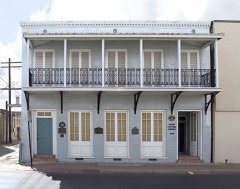
Block
BlockFrom the record
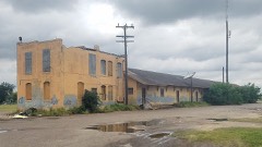
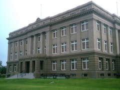
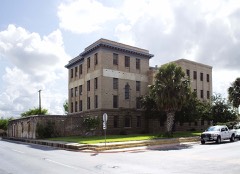
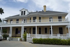
34 National Register listings published here, 4 of them National Historic Landmarks.
Sources: the National Register database, National Park Service
140 topographic sheets and 21 fire insurance atlases across 4 places.
34 National Register listings published here, 4 of them National Historic Landmarks.
Sources: the National Register database, National Park Service
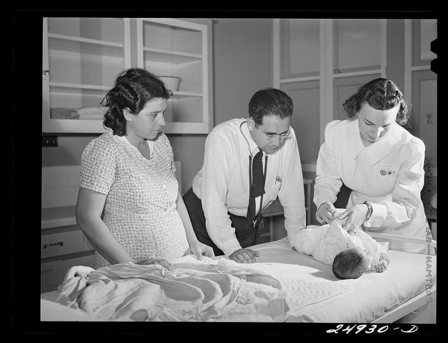
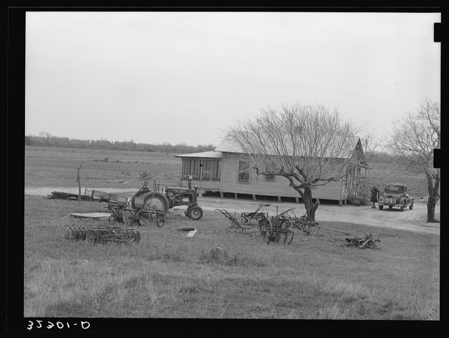
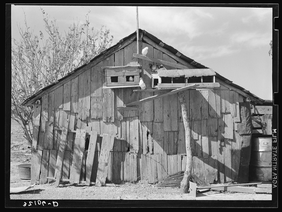
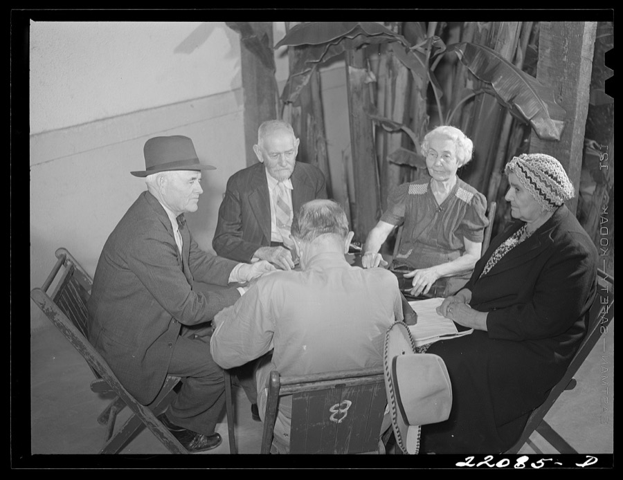
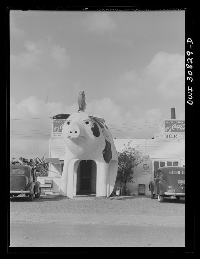
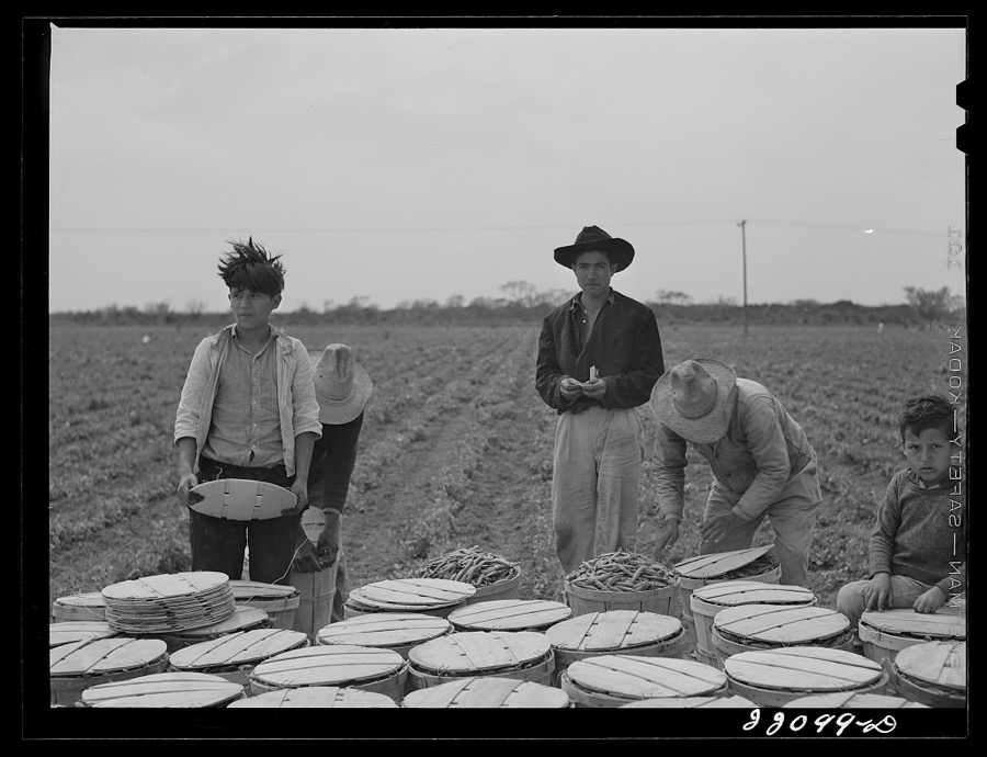
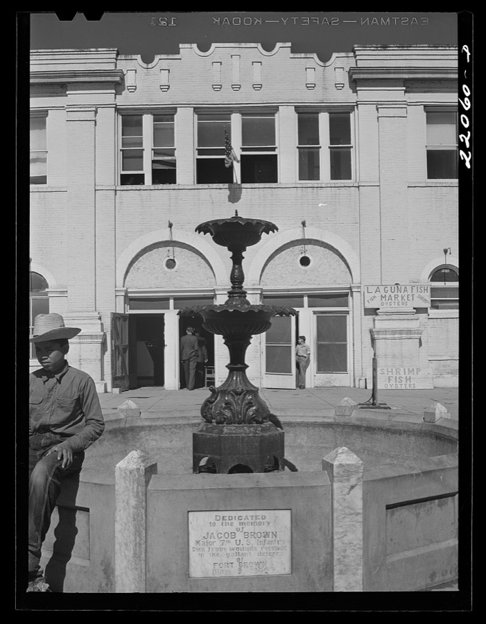
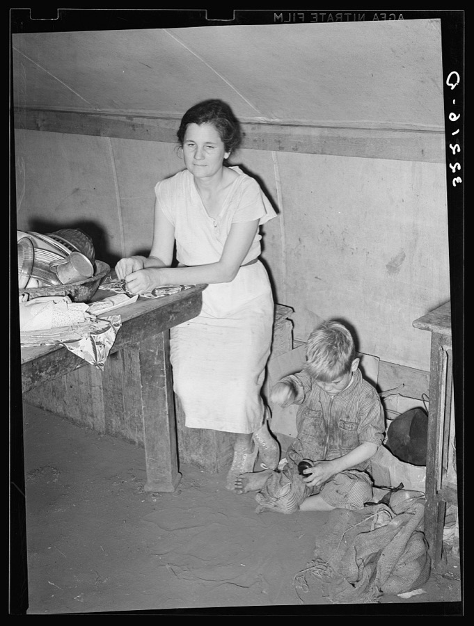
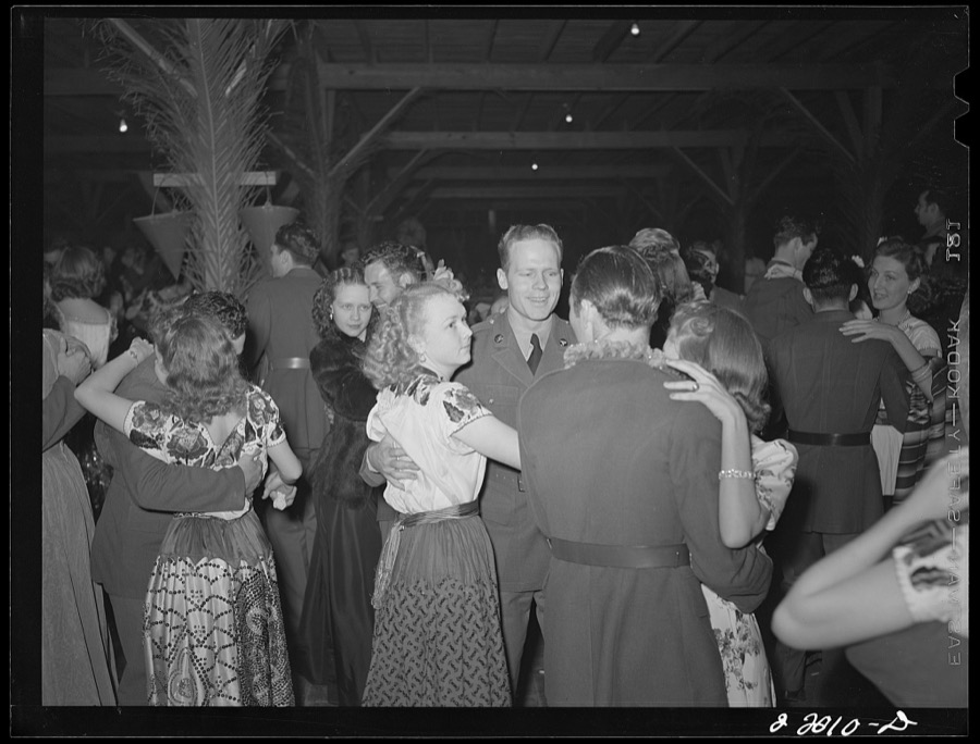
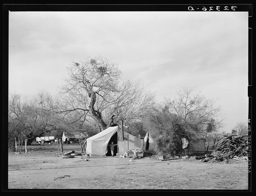
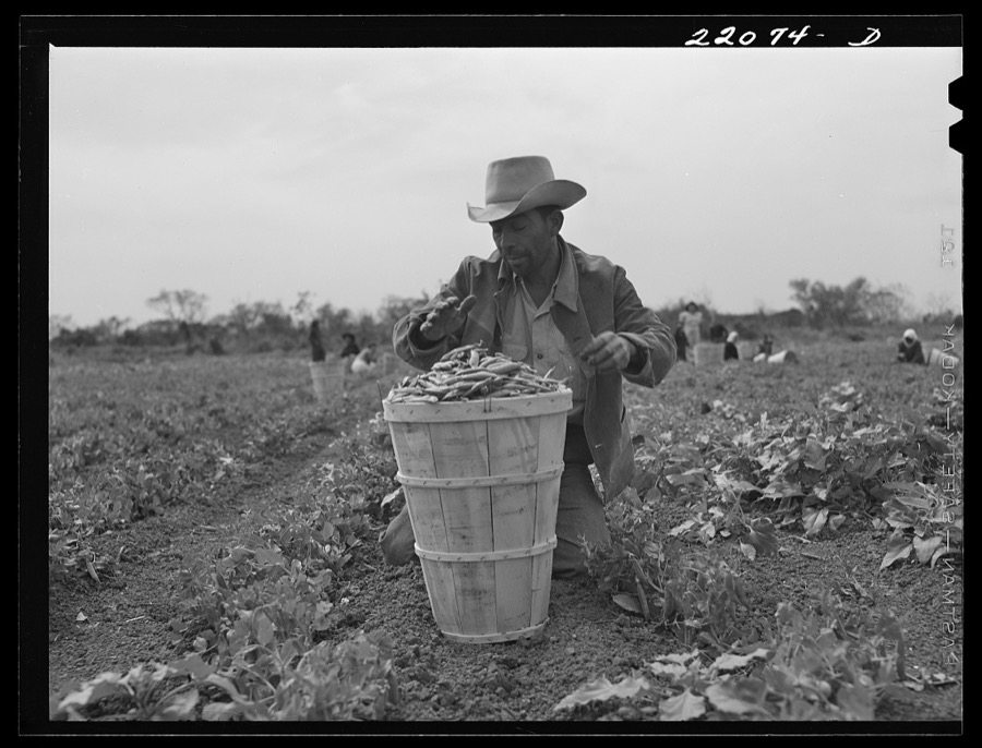
Taken for the Office of War Information and the Farm Security Administration, who photographed the country between 1935 and 1944. Works of United States government photographers, with no known restriction on use. Each opens its catalogue record.

![Brownsville, Texas. Charro Days fiesta. Dancing the jarabe tapatia [i.e. Jarabe Tapatío] at Triple L Club dance](assets/locph_2017774420.jpg)
![Brownsville, Texas. Charro Days fiesta. Dancing the jarabe tapatia [i.e. Jarabe Tapatío] at Triple L Club dance](assets/locph_2017774419.jpg)



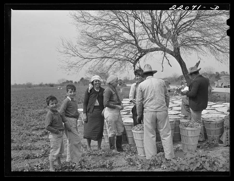

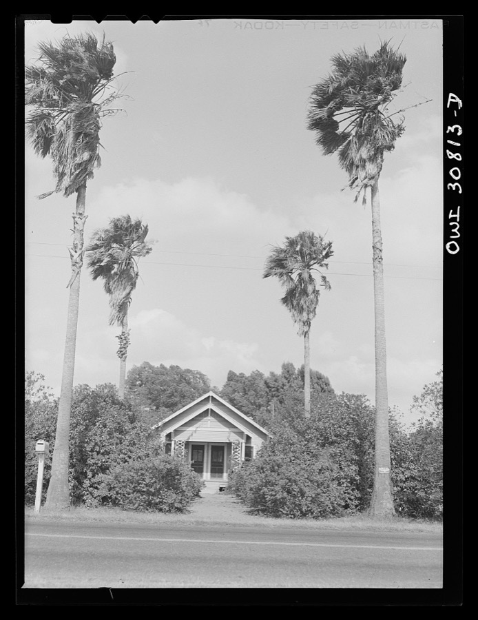
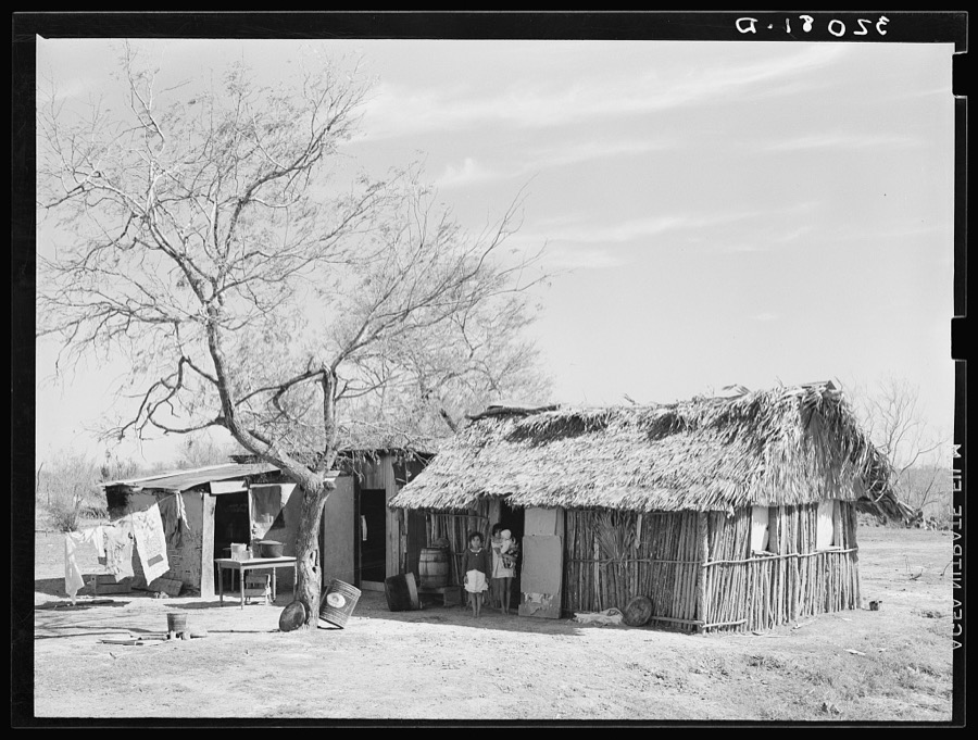
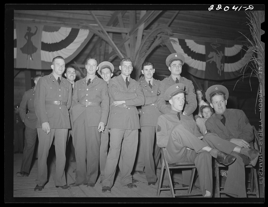

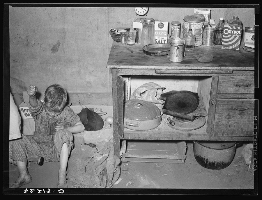

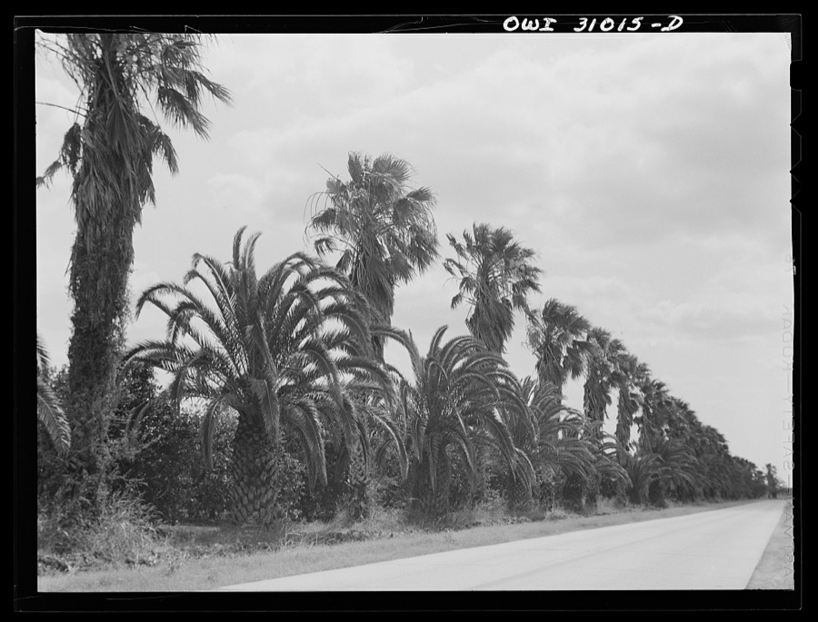
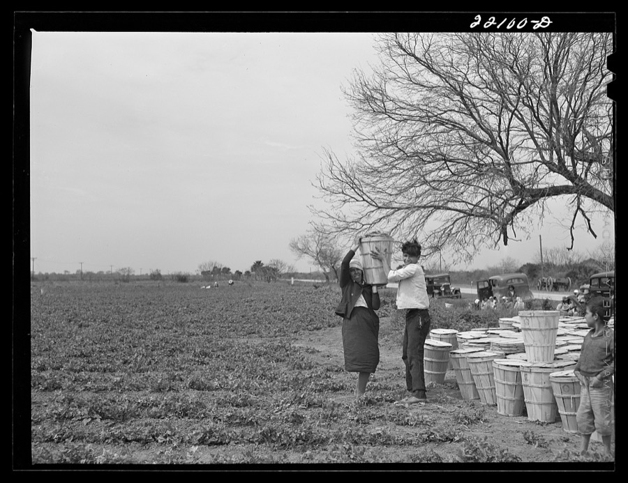
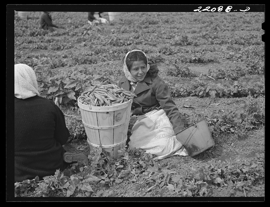
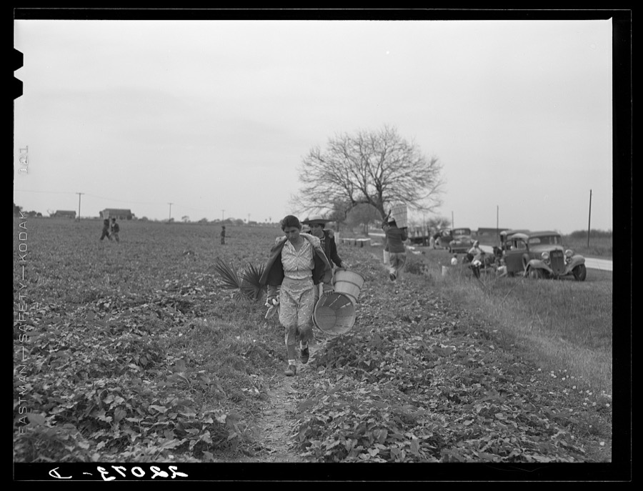

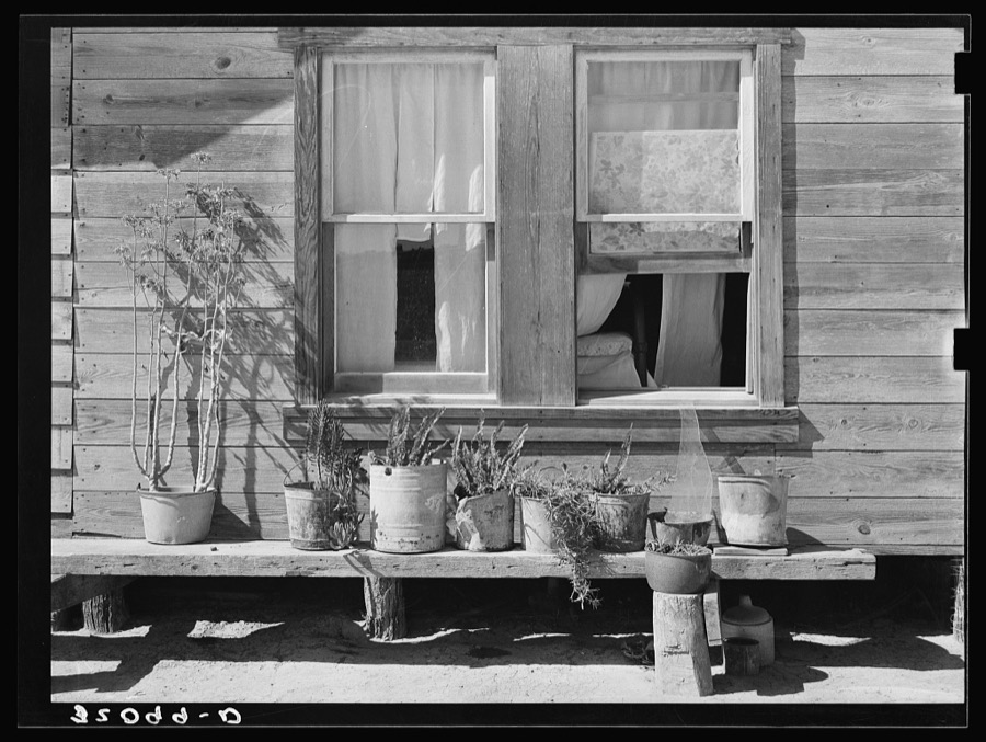
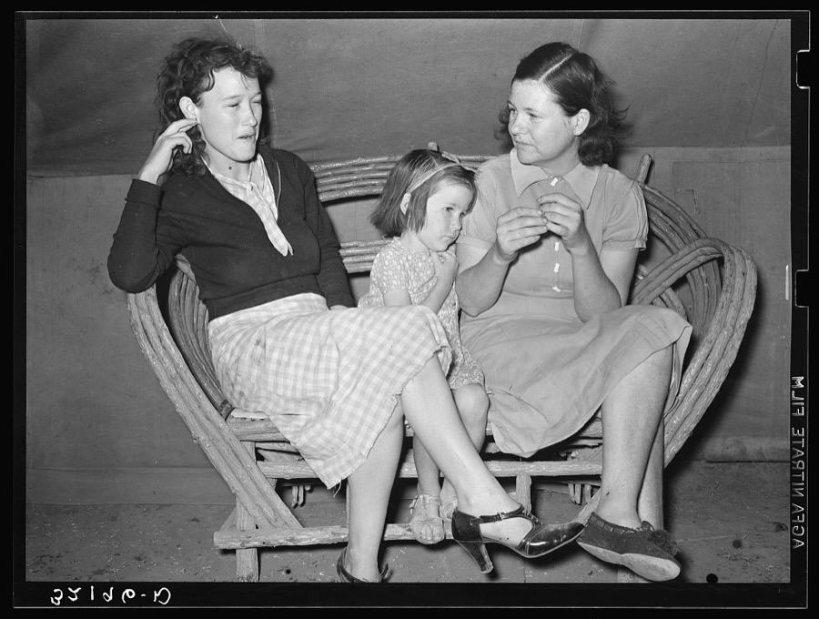
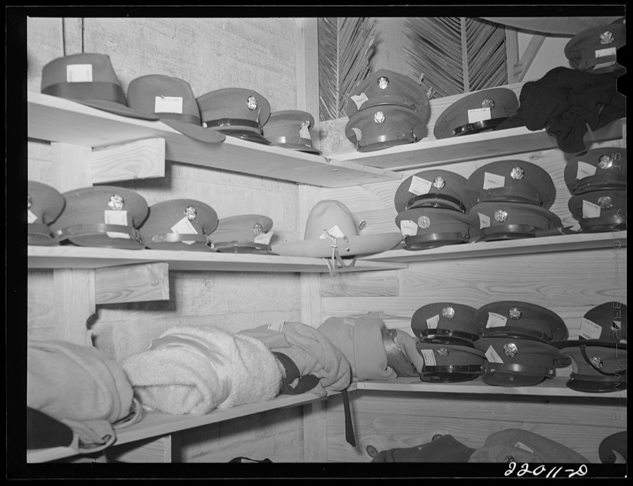




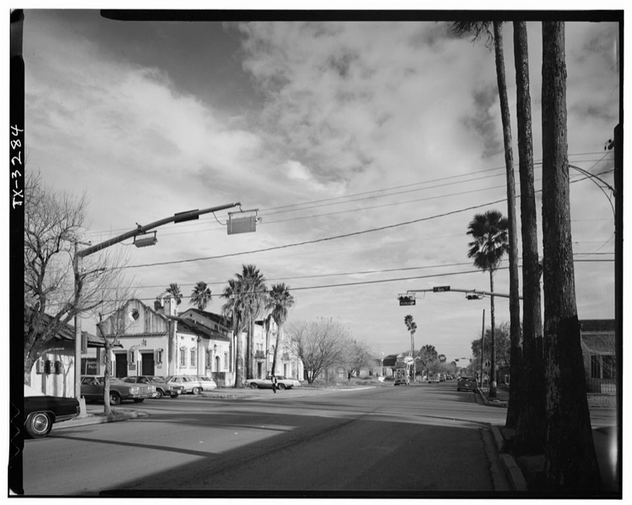
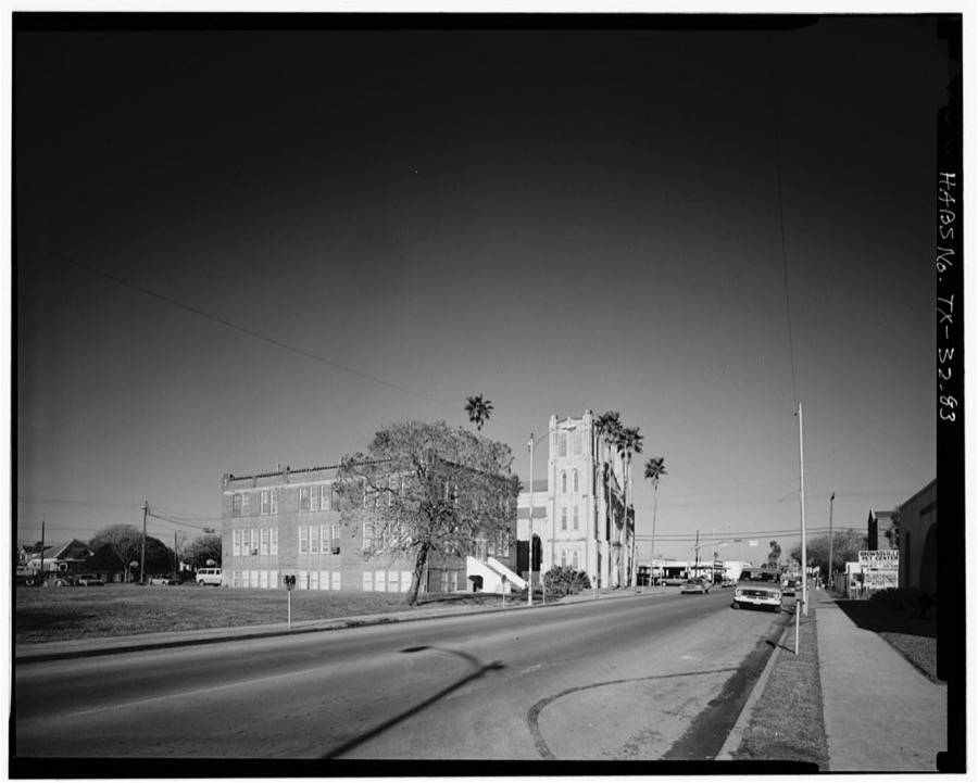
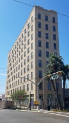
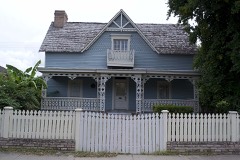
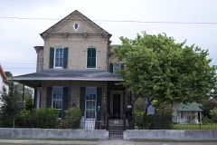
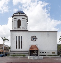
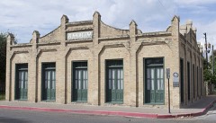
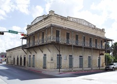
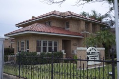
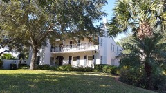
Every property in this county listed on the National Register of Historic Places, with the year it was listed and the federal nomination document.
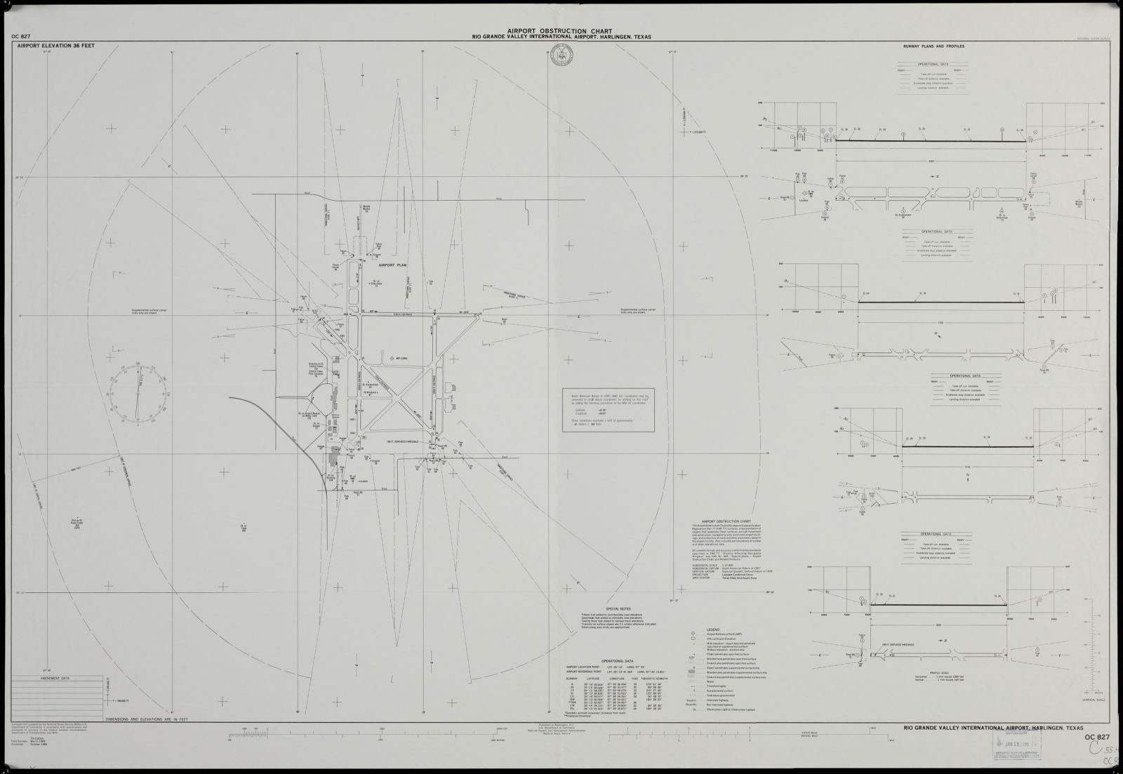
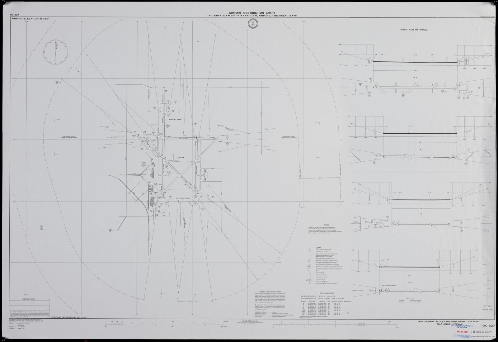
Drawn when these were printed as single large sheets: the town seen from the air, and the county divided into its farms with every owner named. Each opens the original at the Library of Congress.
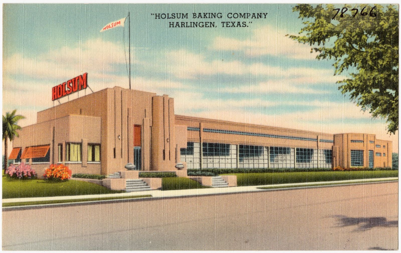
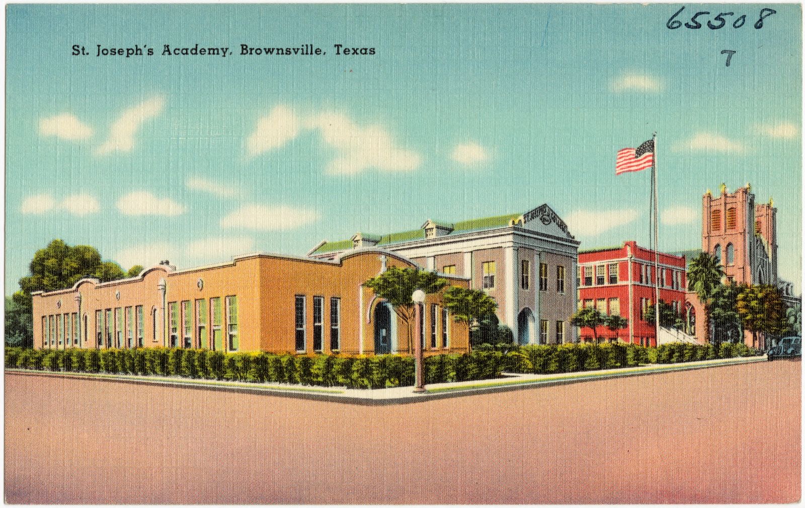
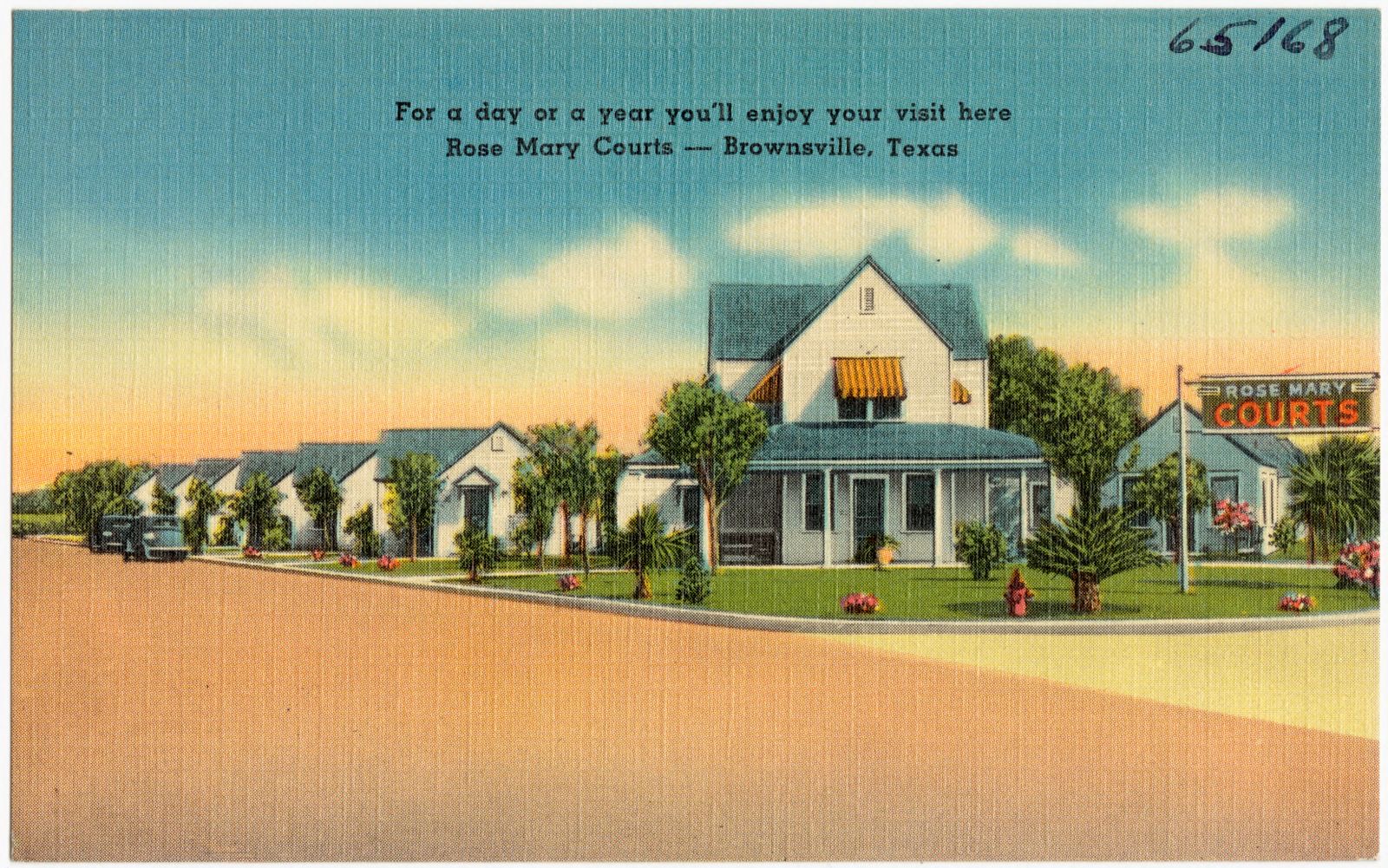
Selected from the Digital Public Library of America's 36 image records catalogued for this county. Every one shown here carries a public-domain status or a licence that permits reuse on a site that carries advertising; non-commercial, share-alike and restricted images are excluded. The selection is spread across the county's towns (at most eight per town), so no single institution's bulk upload crowds out the rest. Each opens the holding library's record, and the complete set at the Digital Public Library of America is one click away.
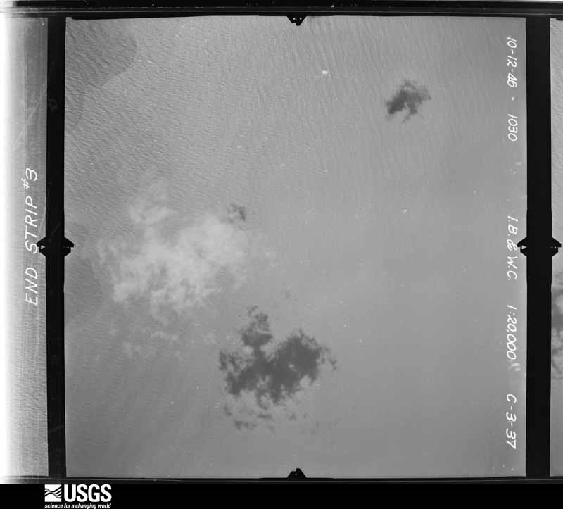
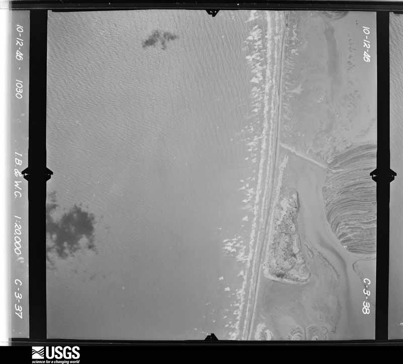
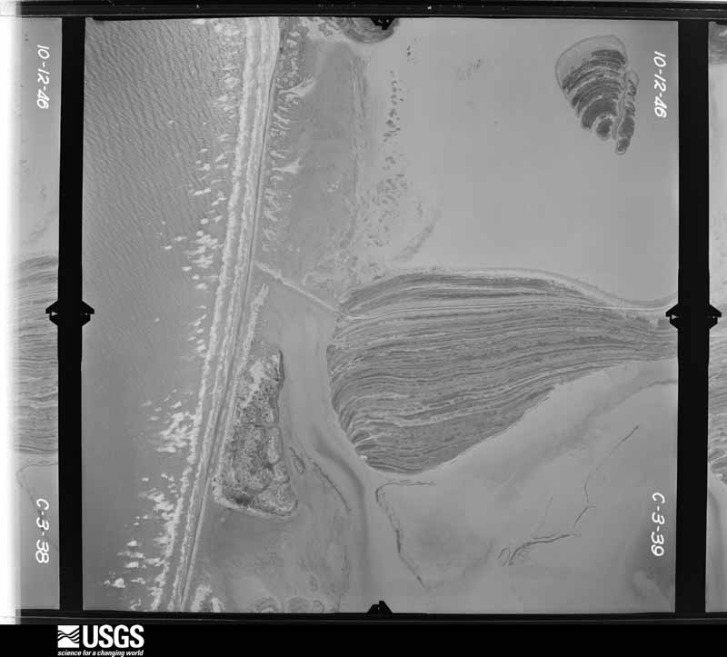
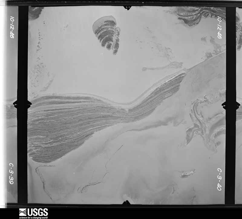
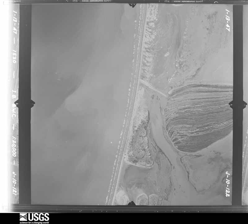
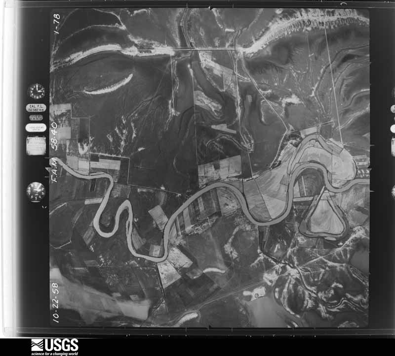
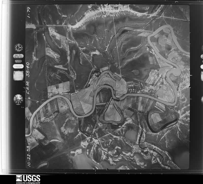
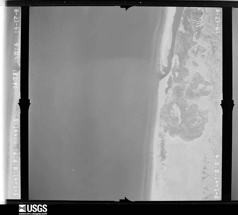
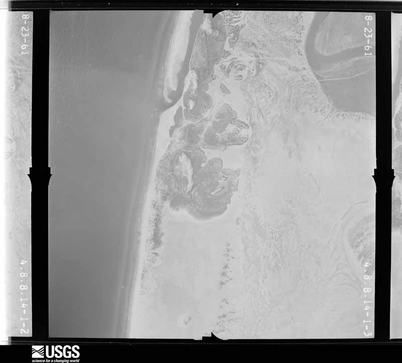
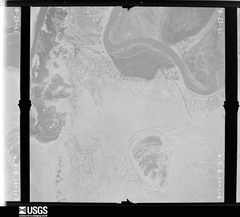
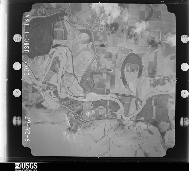
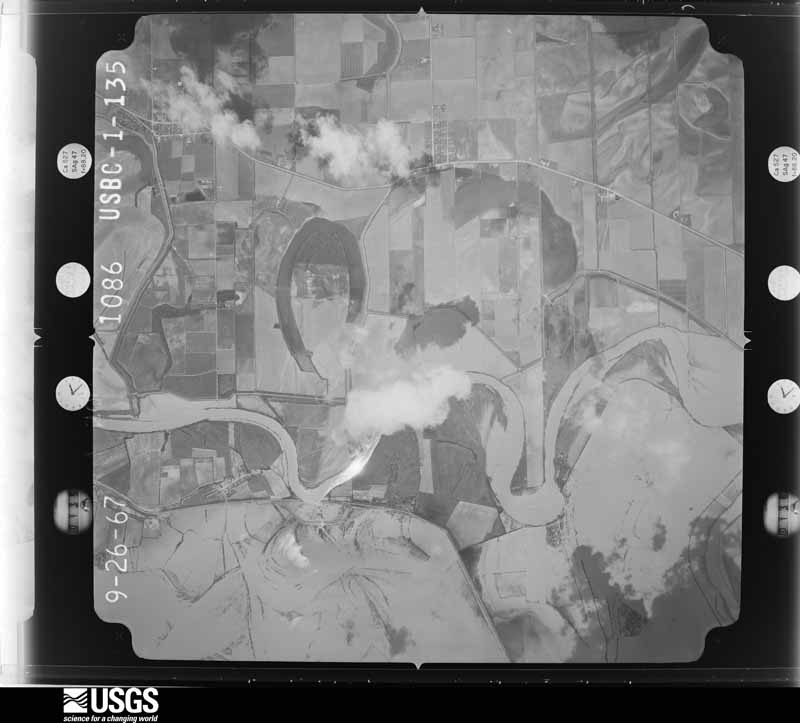
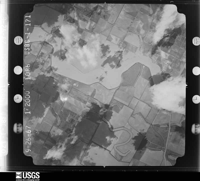
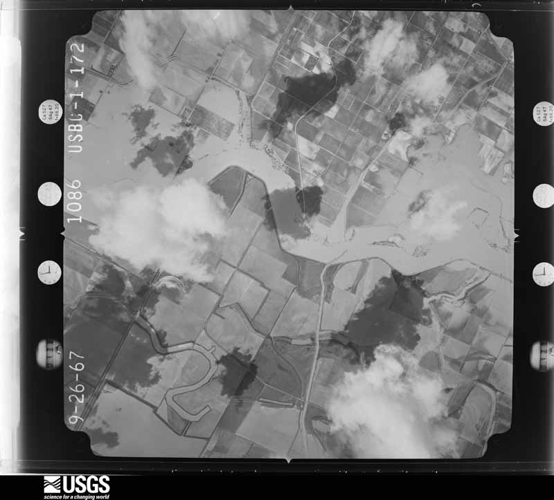
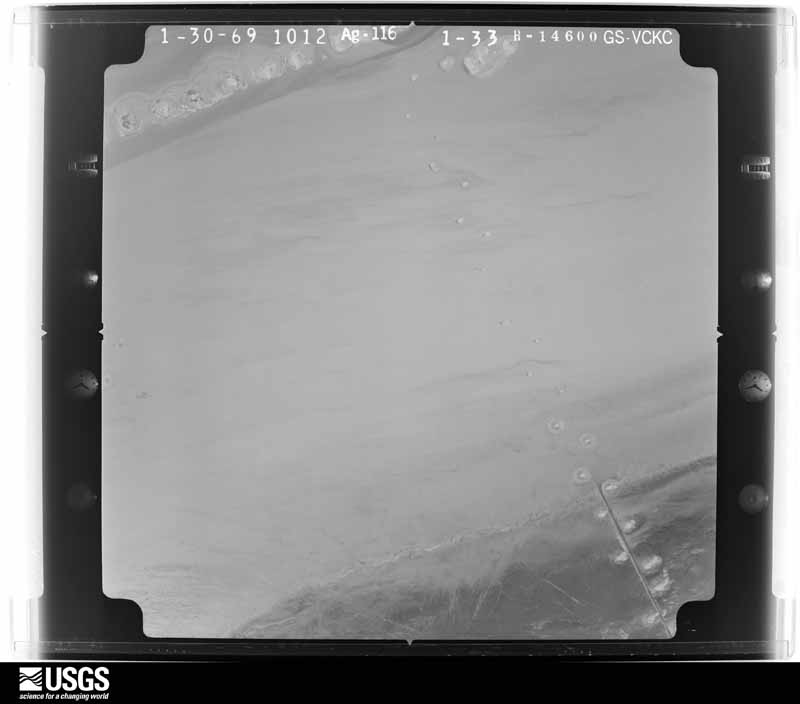
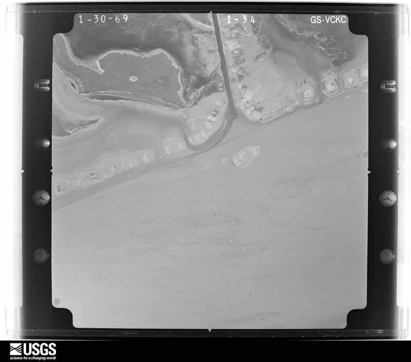
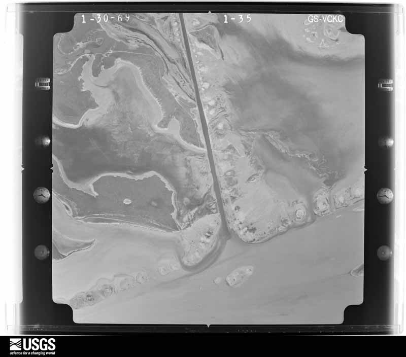
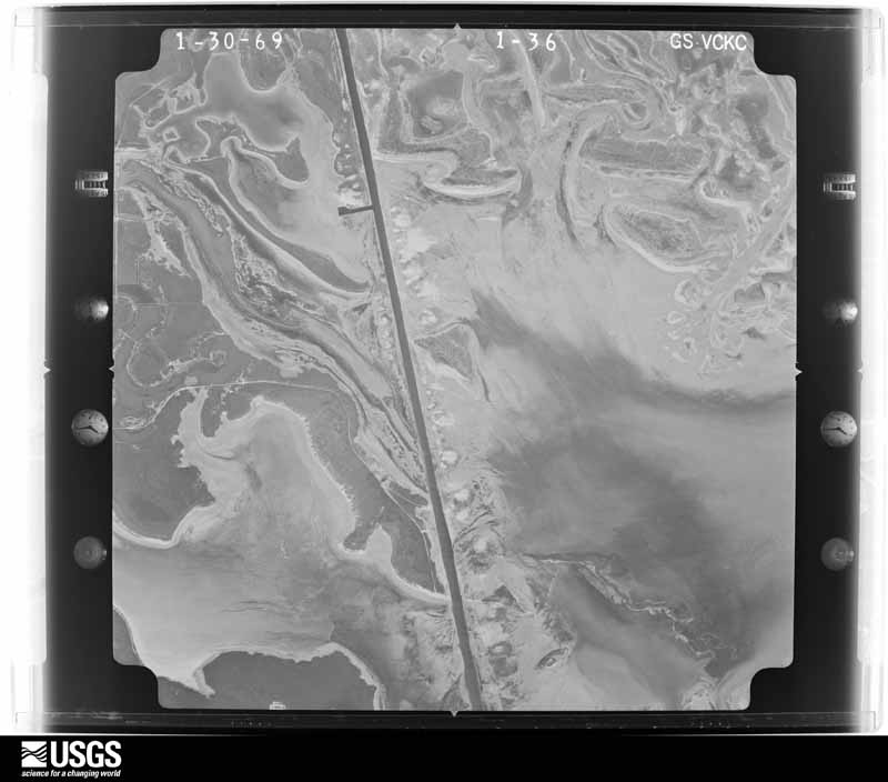
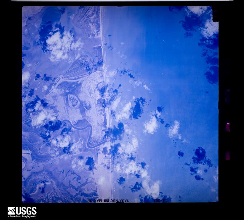
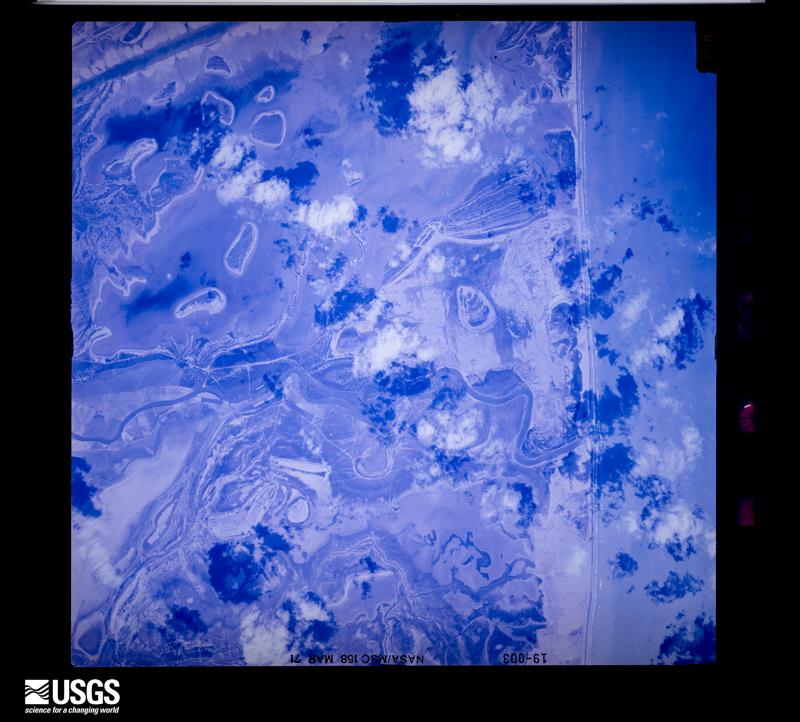
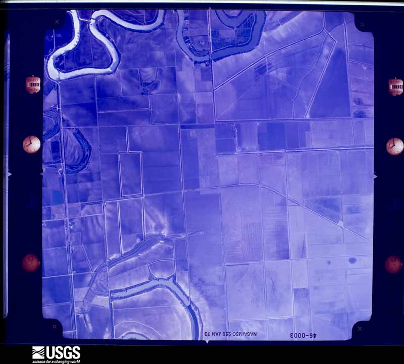
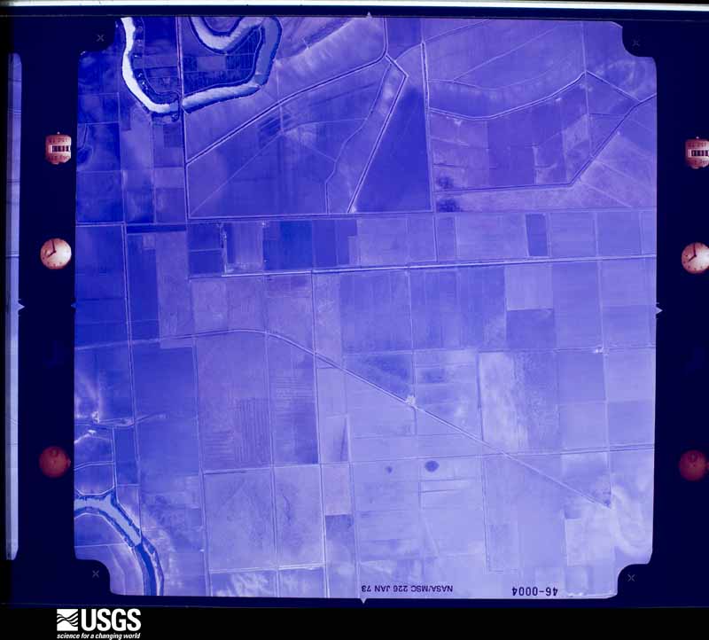
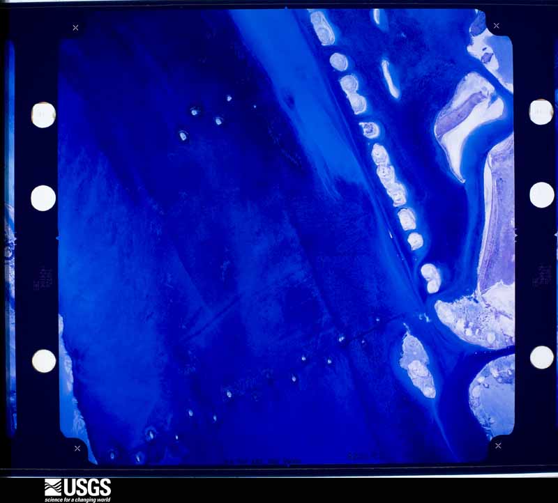
Flown by the U.S. Geological Survey between 1937 and 1989, the Aerial Photo Single Frames collection is the definitive mid-century view of the land: fields, roads and rivers as the camera saw them. The Survey holds 3,391 frames inside the rectangle that bounds this county; the 48 frames below were taken over the county itself, chosen across the decades of flights (at most four a year from that rectangle), so one flight cannot crowd out the rest. The full set is free to browse and download at EarthExplorer under the dataset Aerial Photo Single Frames.
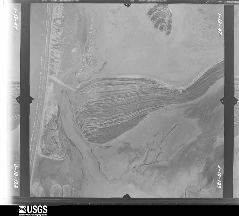
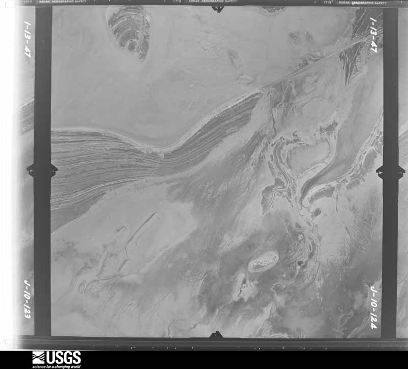
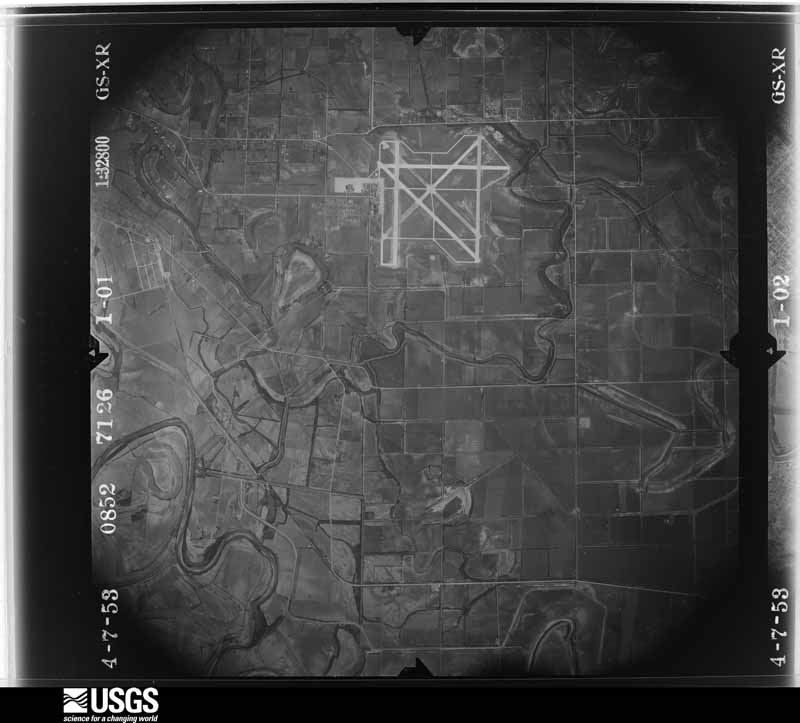
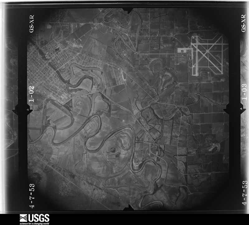
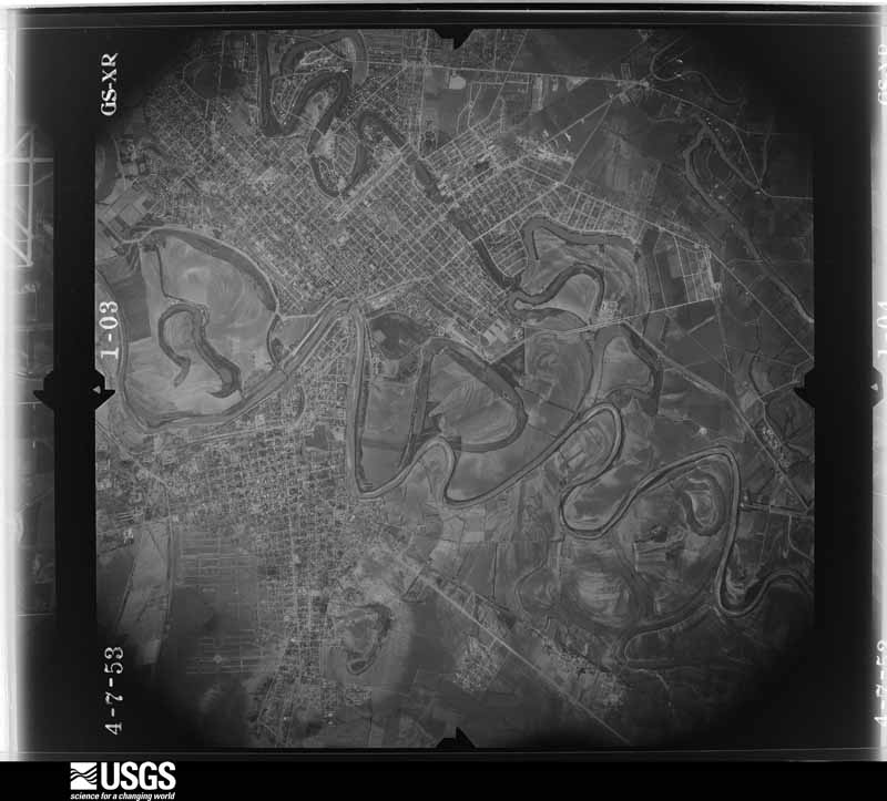
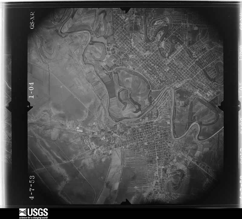
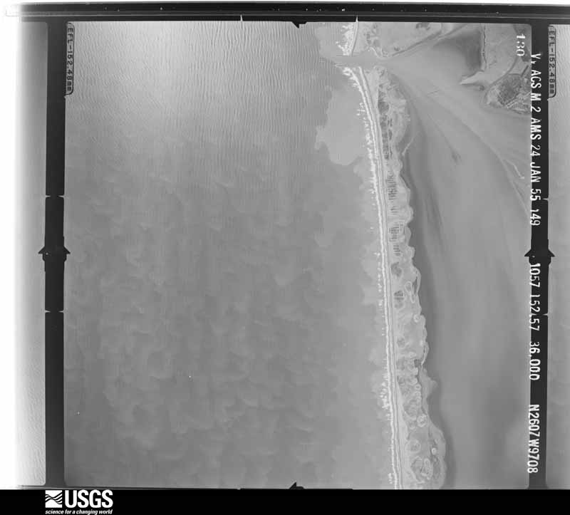
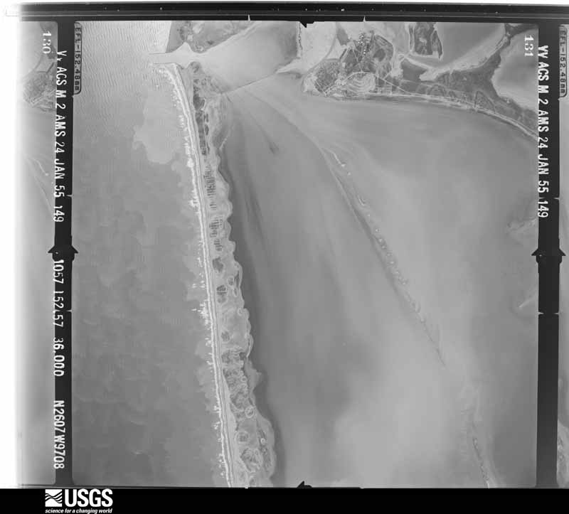
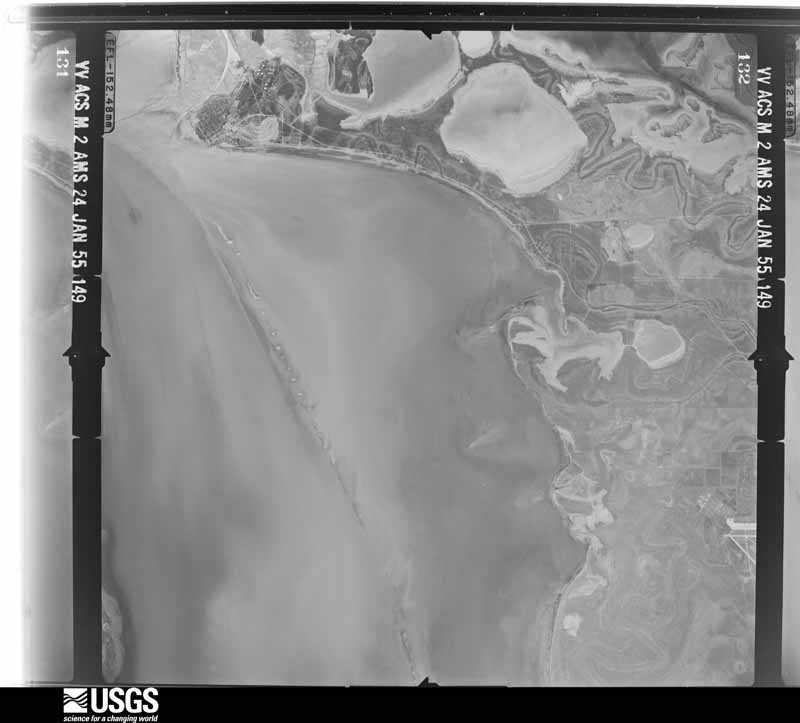
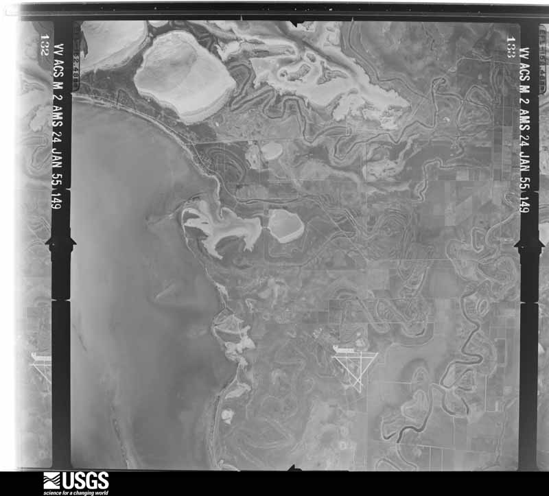
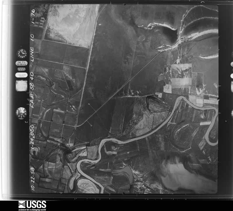
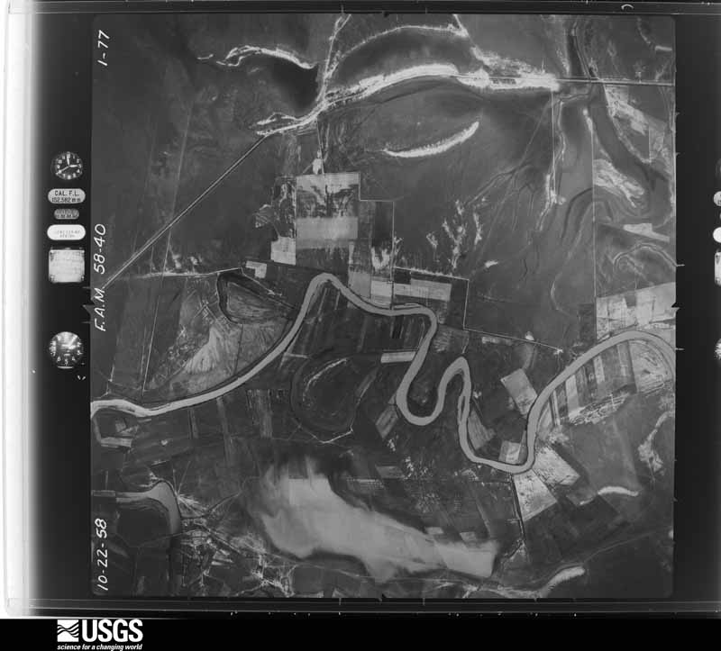
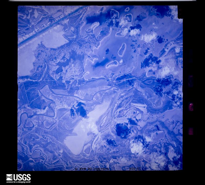
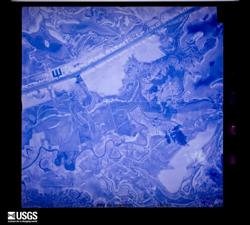
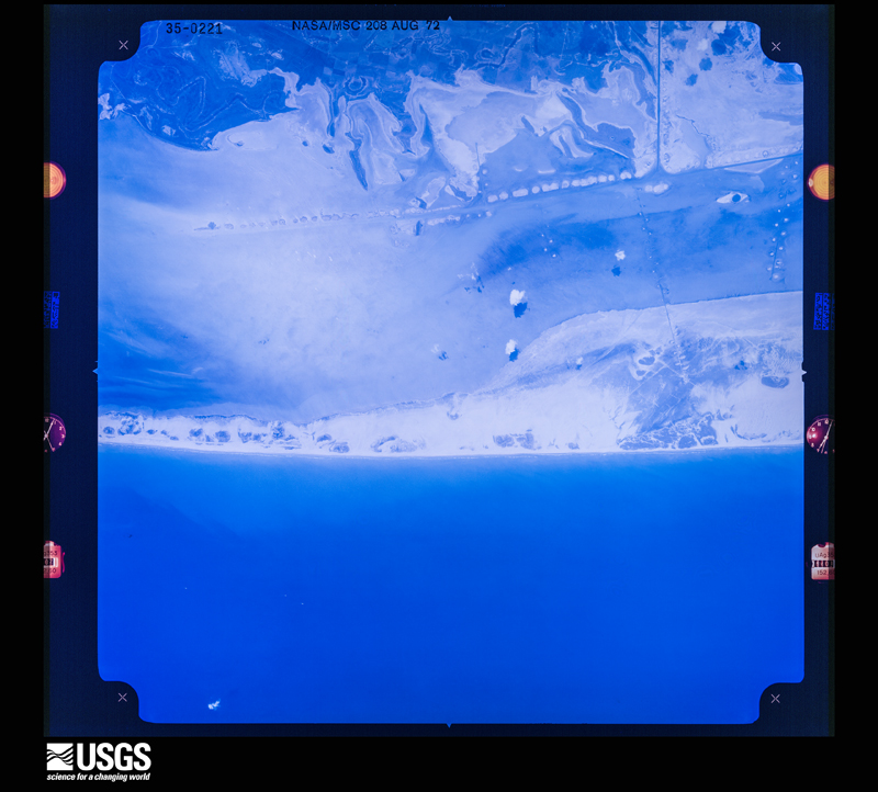
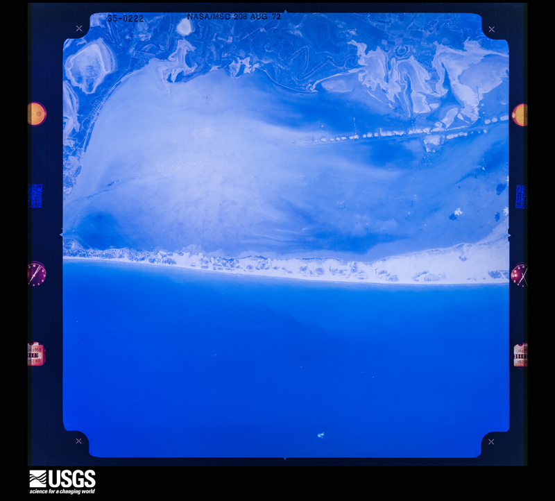
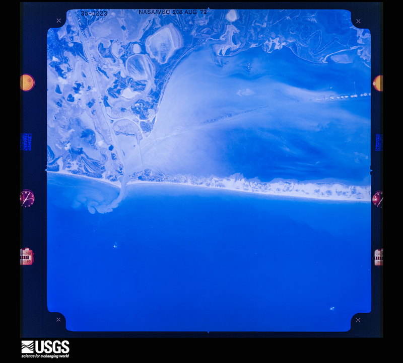
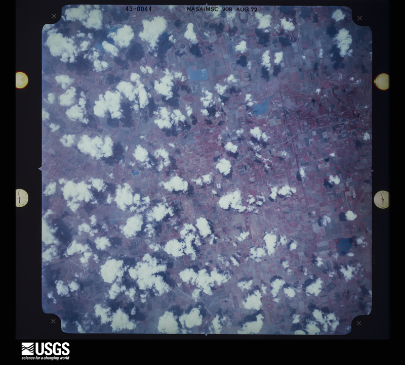
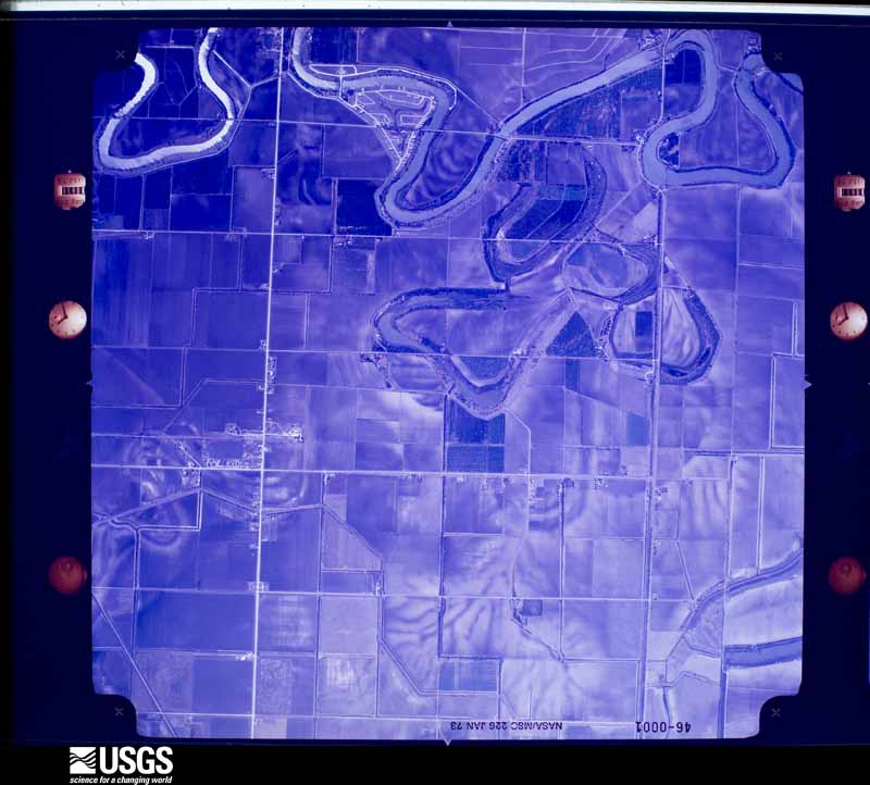
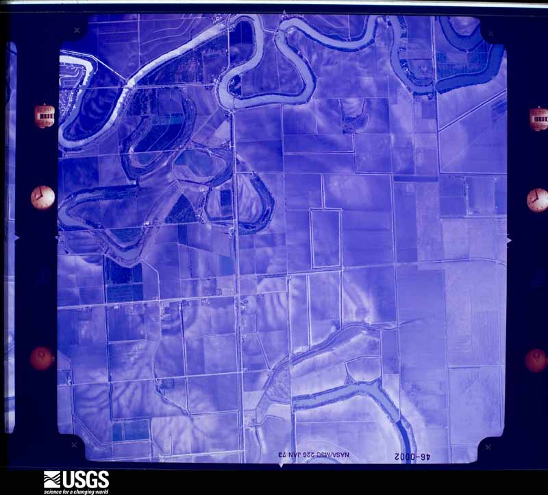



The thermometers that kept this county's weather, and the gages that measured the flow of its streams, as the federal records hold them. The extremes below are measured values from those records, not estimates.
Who lived here in 1950, one enumeration district at a time, as the Census Bureau described each district. Each row opens its official National Archives result, with Population Schedules and ED Maps available there.
Every wildfire the federal occurrence database records inside this county: 943 of them, burning about 15,820 acres. 23 started naturally and 160 were recorded as arson. Each settlement page carries the fires within five miles of it.
| Reported cause | Fires |
|---|---|
| Missing data/not specified/undetermined | 352 |
| Debris and open burning | 323 |
| Arson/incendiarism | 160 |
| Equipment and vehicle use | 38 |
| Natural | 23 |
| Power generation/transmission/distribution | 20 |
| Smoking | 10 |
| Railroad operations and maintenance | 7 |
| Recreation and ceremony | 5 |
| Misuse of fire by a minor | 3 |
| Fireworks | 2 |
The five largest, by the area the report gives. Two of them were set deliberately.
| Date | Cause | Size | Reported by | Name on the report |
|---|---|---|---|---|
| 30 March 2002 | Missing data/not specified/undetermined | 2,500 acres | South Texas Refuge Complex | MUY GRANDE |
| 20 July 1997 | Debris and open burning | 435 acres | Lower Rio Grande Valley National Wildlife Refuge | TIOCANO |
| 15 July 1996 | Arson/incendiarism | 425 acres | Lower Rio Grande Valley National Wildlife Refuge | BOSCAJE |
| 22 July 2009 | Missing data/not specified/undetermined | 400 acres | Lower Rio Grande Valley National Wildlife Refuge | DEL MAR |
| 8 December 2000 | Smoking | 400 acres | Lower Rio Grande Valley National Wildlife Refuge | LAGUNA |
| 1 September 2005 | Natural | 370 acres | Laguna Atascosa National Wildlife Refuge | MIDNIGHT |
| 10 January 2017 | Missing data/not specified/undetermined | 275 acres | Texas A & M Forest Service | OLMITO |
| 27 April 2000 | Arson/incendiarism | 250 acres | Lower Rio Grande Valley National Wildlife Refuge | M AND M |
Every settlement page carries the fires within five miles of it - see the settlement index below.
The NOAA Storm Events Database holds 547 reports for this county, causing 1 death, 17 injuries and about $291,248,650 in recorded property damage. Each settlement page carries the reports that name it.
| Kind of event | Reports |
|---|---|
| Thunderstorm Wind | 193 |
| Hail | 101 |
| Flash Flood | 92 |
| Tornado | 68 |
| Flood | 42 |
| Heavy Rain | 40 |
| Lightning | 6 |
| Funnel Cloud | 3 |
| Coastal Flood | 1 |
| Waterspout | 1 |
The most serious of them, by death, then injury, then recorded damage. The accounts are quoted exactly as the forecast office filed them.
| When | Event | Place named | Harm | What the report says |
|---|---|---|---|---|
| May 2023 | Tornado (EF1) | Bayside | 1 killed, 11 hurt, $500,000 | A rapidly-developing mini-supercell formed ahead of an approaching squall line near the Lower Texas coast just before 4 AM Saturday, May 13. The supercell spawned a quick spin-up tornado that struck the town of Laguna Heights, Texas, over a two-minute period before the circulation moved over Laguna Madre Bay and rapidly dissipated. The tornado tracked to the east-northeast after the circulation was impacted by the approaching squall line, creating a boomerang effect since the original motion of the radar couplet was to the north-northwest prior to touchdown. Winds may have reached 110 mph, the top of the EF1 scale, in a few locations but the very poor quality of construction suggests 105 mph is a better estimate.||The strongest portion of the tornado, rated EF1, flattened at least six poorly built mobile home structures, removed part of the second story of a local business, and removed the majority of roof decking on at least ten other residences and buildings. At least a half dozen ash and mesquite trees were snapped or uprooted and two wooden power poles were bent. Casualties were found in several of the demolished mobile homes. A man in his forties was killed when the home collapsed on him. Five others were injured in the same cluster of damaged homes, and two more were injured in a flattened mobile home near the shoreline of Laguna Madre Bay. Two of the injuries, in the home along the bayfront, required extended hospitalizations. Thirty-eight additional residents were displaced by the tornado and were housed at the local events center with American Red Cross assistance. In all, there was the one fatality and eleven injuries, of which two were critical head injuries. Surrounding the EF1 area, portions of roofs and shingles were removed from residences, large limbs were broken, and fences were knocked down. |
| April 2003 | Hail | Brownsville | 5 hurt, $50,000,000 | no account filed |
| May 1992 | Thunderstorm Wind | not stated | 1 hurt | no account filed |
| March 2025 | Flash Flood | Los Indios | $105,000,000 | Some of the heaviest rainfall associated with the historic rainfall of March 26-28 fell in Harlingen. In total, nearly 19 inches was measured by trusted sources, with radar estimates up to 20.5 inches. During the peak of the multiple bands from early evening through just after midnight on the 28th, estimated rainfall rates were at least 3 per hour for at least 3 hours, including at Harlingen/Valley International Airport, where 5 fell in just 90 minutes before the power went out due to lightning strikes.||Hundreds, if not a thousand, structures had flood damage ranging from affected to destroyed. Damage details will be available for this part of Cameron County, which stretches from Harlingen through Rio Hondo and southwest to San Benito, at a later date in 2025. Harder hit areas reported up to 4 feet of water, including the IH-2 and IH-69E frontage roads in these areas. For several areas, this event ranked as a 1/100 to 1/200 annual return frequency probability event, with perhaps up to a 1/500 event in a few spots. High water would continue in several hours for a few more days, though rapid runoff allowed for relatively quick recovery.||As of July 1, a preliminary estimate of $105 million was derived from Public Assistance (PA) and Individual Assistance (IA) reports, based on applying two-thirds of the values from the number of structures that were impacted with varying levels of damage in Cameron County. The damage was applied to this entry, since much was triggered by the rainfall and rainfall rates in these areas at these times. Full damage statistics will be available by the end of 2025 or start of 2026. |
| June 2018 | Flash Flood | Santa Rosa | $35,000,000 | Multiple cells and clusters of thunderstorms during the pre-dawn hours into the morning commute on June 20th dropped measured and estimated rainfall between 5 and more than 8 inches in western Cameron County, which caused widespread flooding between La Feria, Harlingen, San Benito, and other locations. The flooding produced locally 2 to 4 feet of water depth, with Santa Rosa through La Feria particularly hard hit. Interstate 2 frontage road was closed from Harlingen to McAllen due to the intense rainfall, which fell at an estimated rate of 2 to 3 inches per hour in a few spots for 2 to 3 hours - and on top of prior rainfall earlier in the week.||Detailed damage for this particular event was not known, though total damage through multiple agencies along with standard doubling for uninsured properties, as well as significant damage to drainage canals, suggested event totals in Cameron County were over $60 million. For this particular event, which included some of the highest rainfall rates, damage was estimated at around $35 million. There were an unknown number of properties and vehicles damaged in this particular flood, though the numbers are likely above 1,000 for each case. ||Full details will be available within 12 to 18 months of the event. |
| June 2019 | Flash Flood | Santa Rosa | $30,000,000 | Measured and estimated rainfall between 8 and 15.2 inches that fell predominantly from early evening June 24th through a bit after midnight on June 25th produced widespread flash flooding across northwestern Cameron County. Hardest hit locations were the west side of Harlingen through La Feria, north to Santa Rosa, and back east to near Combes. ||In the tri-county area (western Willacy, northwestern Cameron, and southeastern Hidalgo), 1188 homes were considered destroyed or with major damage, with an additional 182 homes with minor damage. Hundreds of streets flooded, including 30 Texas-managed highways. This included the frontage roads of Interstate 2 and Interstate 69E (with up to four feet of water in Cameron County). ||More than 100 persons were evacuated to higher ground when dozens of homes were threatened by 2 to 4 feet of water in each county. In northwestern Cameron County, total neighborhoods were inundated with 1 to 3 feet of water in northwest Harlingen, Santa Rosa (where some reports noted 4 feet of water depth), and Combes. | |Individual Assistance costs for the affected area in the three counties was estimated at $27.6 million as of early August 2019; Public Assistance values were unknown but likely to add to the damage, which will be estimated at $75 million in all three counties. Daily rainfall records were set in the flood area, including 6.29 inches in Harlingen, more than four inches above the prior calendar day record (2.23 inches in 1926). The total was also a new daily record for the month (5.89 on June 20, 2018); records date back to 1912 at the site.||Despite the flooding and damage, much which occurred in the dark, there were no know deaths of injuries directly attributed to the flood. |
| June 2018 | Flash Flood | Brownsville | $20,000,000 | One day after 3 to more than 5 inches fell between Brownsville and Los Fresnos during the afternoon and early evening hours, a repeat event occurred, fed by deep tropical moisture and multiple boundaries left behind from devastating morning flooding across western Cameron and eastern Hidalgo County. A persistent line of torrential rainfall dominated through the early evening commute, with another 3 to 6 inches having fallen for a two-day total of 6 to 11+ inches. The second day rainfall produced more widespread flooding across locations in and east of Brownsville and Los Fresnos, with farm and subdivisions under 2 to 3+ feet of water when all was said and done. ||The additional flooding on saturated soils (pump priming from June 19) likely produced more damage this second go-round, including more erosion to drainage canals/ditches and mainly rural roads. Doubling of the damage left a total of around $20 million. |
| July 2020 | Flash Flood | Santa Rosa | $13,270,000 | Afternoon and early evening rains of 2 to 3 inches fell across the IH-2 corridor of Cameron County, from La Feria to east of Harlingen, and saturated soils ahead of the torrential rains that were to come later in the evening as the southern and eastern eyewall pulled copious tropical moisture into northern Cameron County after sunset. Estimated rainfall of 4 to 6+ inches by mid evening began to produce known flash flooding in La Feria and Harlingen, with two water rescues conducted in La Feria just after 10 PM CST. Despite lighter rains, flash flooding would continue due to poor drainage situations, especially in the La Feria/Santa Rosa area. A broad south to north feeder band added another 2 to 4+ inches of rainfall to the storm totals during the pre-dawn hours, and light rains would continue to around noon in western Cameron County before ending. Note: Estimated flood-related public assistance property damage is provided in this episode. However, the total damage would also include another 3 to 5 inches that would fall in an unrelated tropical band of torrential rain during the evening of July 27th.||Flooding would decimate the cotton (lint) crop and other unharvested dryland crops to an estimated value of $27.1 million. Public assistance property damage as of this writing from flooding rainfall was estimated to be at $3.3 million. Additional public and individual assistance dollar damages, as well as insured damages, from flood waters was calculated using NCEI's total dollar damage estimate (divided among the affected counties by local storm data experts). Total property damage from flood waters for Cameron County was $9.968 million. |
| May 2020 | Lightning | Port Isabel | $7,000,000 | Lightning strike resulted in a structure fire at Gulfport Condominiums on South Padre Island. The fire was reported around 7 AM CDT. Time of strike was estimated by radar. |
| June 2018 | Flash Flood | Evan | $5,000,000 | A band of thunderstorms, moving slowly from west to east, intersected the sea breeze and stalled between Brownsville and Los Fresnos, dumping 3 to 5 or more inches of rainfall in a 2 to 3 hour period, causing significant street flooding and some road closures. Flood prone roads, including Morrison Blvd. in north Brownsville was closed due to 3 feet of water; Dennet road nearby was also covered in 2 to 3 feet of water. Other roads between North Brownsville and Los Fresnos were flooded with an unknown amount of water depth. Several to dozens of vehicles were flooded, with damage unknown as of this writing. |
| September 2010 | Flash Flood | Villa Nueva | $5,000,000 | Upper level energy, low level convergence, and a possible overnight low level jet stream of extremely moisture laden air from the Gulf of Mexico produced prolonged torrential rains across south central Cameron County between 2 and 7 AM CST September 19th. The area shifted to the east and northeast between 7 and 8 AM CST, but not before dumping 5 to 7 inches of rain from Brownsville to San Benito and creating extensive flooding, impacting perhaps 100 or more structures, particularly in poorly draining areas. ||Impacts included: Up to 60 homes with water incursion in Colonia Galaxia in West Brownsville along Military Highway; several homes with water in them in the nearby subdivision of Quail Hollow; 37 residents evacuated from 9 flooded homes in Laureles (2.5 miles northwest of Los Fresnos); several homes flooded in the Green Valley Farms area along FM 510 near San Benito, including one location where 17 small mixed-breed dogs were rescued. Dozens of roads were closed temporarily or, in some cases, through the day. Notable closures included Paredes Line Road just north of Ruben Torres in Brownsville, Pablo Kisel near the Morrison Blvd. intersection in Brownsville, FM 1575 near/at State Highway 100 in Los Fresnos, and portions of State Highway 345 between San Benito and Rio Hondo. The Frontage Road near Price Road, along Federal Highway 77 in Brownsville had 2 to 3 feet of water well after the rains ended; notable poor draining roads in downtown Brownsville had similar high water.||Though the rains ended between 8 and 9 AM CST, significant poor drainage flooding continued through 11 AM CST and pockets of flooding remained into the morning of September 20th. Dozen of pumps equipment were borrowed from Hidalgo County to assist with clearing water in poor drainage locations for the next few days.||Damage estimates will be into the $millions [final numbers available later this autumn]. Fortunately, no fatalities or injuries were reported as a direct consequence of the rains. |
| May 2000 | Thunderstorm Wind | Laguna Vista | $5,000,000 | A very strong heavy precipitation type supercell did extensive straight line wind damage to Laguna Vista, Laguna heights, Port Isabel and South Padre Island on the evening of May the 2nd. A National Weather Service ground survey team reported that all debris was oriented from northwest to southeast. The storm first struck the Laguna Heights and Laguna Vista communities between 820 and 835 PM CDT. Then it struck Port Isabel and South Padre Island between 840 PM and 900 PM CDT. These damaging winds knocked down 50 power poles. In addition, the damaging thunderstorm winds knocked down power lines and trees. Approximately 8800 customers were left without power and schools were closed in Port Isabel on May 3rd and 4th. Many residents reported damage to roofs, awnings, signs, canopies, marinas, and garage doors. Windows were shattered by the strong winds. The United States Coast Guard Office reported 106 knots or 122 mph winds before power failed at the Coast Guard station. Several recreational vehicles parked at Isla Blanca Park on South Padre Island were tossed on their sides. Hail the size of golfballs was reported at South Padre Island. Total damage to the utility lines and poles was estimated to be around 3 million dollars. Total damage done to the rest of the area was around 2 million. In all, it was estimated that approximately 5 million dollars of damage was done to the bayfront communities and South Padre Island. |
| September 1988 | Tornado (F1) | not stated | $2,500,000 | no account filed |
| August 1980 | Tornado (F2) | not stated | $2,500,000 | no account filed |
| October 2019 | Thunderstorm Wind | Port Isabel | $2,000,000 | A cluster of potent thunderstorms developed in northeastern Mexico and moved north into Cameron County early Sunday morning. Within this cluster of storms, a strong linear downburst crossed South Padre Island from 1:24 AM CST to 1:40 AM CST. The South Padre Island Police Department reported downed power lines in between the paralleling Padre Blvd and Laguna Blvd on South Padre Island, and at one point all of South Padre Island had lost power due to 31 transmission poles that were taken down by the wind. |
| May 2004 | Flash Flood | San Benito | $2,000,000 | Slow-moving thunderstorms with torrential rainfall developed over central and eastern Cameron county. In fact, the previous daily rainfall record was shattered when 4.56 inches of rain was reported at the Brownsville-South Padre Island Airport. This amount paled in comparison to the rain that was experienced along an axis extending from central and western sections of Brownsville north and northwest through Lost Fresnos, Olmito, Rancho Viejo and up through San Benito. Locations within this axis experienced anywhere from 5 to 9 inches of rainfall over a period of appoximately 3-4 hours.The area of heaviest rain occurred in western Brownsville where numerous homes experienced flooding. Approximately 170 homes in central and western Brownsville received at least minor flooding, as did many of the city's resacas. Flooding of homes and businesses was also reported in Los Fresnos, and in homes between Los Fresnos and San Benito. An estimated 200-250 homes were affected by flooding, and the standing water resulted in many road closures across the county, especially in the Brownsville area. |
| May 2023 | Thunderstorm Wind | Port Isabel | $1,500,000 | An NWS Storm Survey was conducted on South Padre Island and found several areas of damage along South Padre Island. The survey found a couple of downed fences in the Isla Blanca area on the southern side of the island along with a couple of flipped recreational vehicles (RVs) that were exposed to the wind but only anchored by unfastened scissor jacks. The flipped RVs were initially reported by a member of the public shortly after the storms moved offshore. Winds here were measured at the Brazos Santiago (BZST2) Texas Coastal Ocean Observing Network site (TCOON) to be near 84 mph. A little farther north along the island, the metal roof at Longboards was peeled back along with a canvas type material that was blown onto the second story balcony of an older apartment complex along W Palm Street. Some of the most extensive damage was witnessed at the El Castile Condo at the corner of W Polaris Dr and Laguna Blvd, which lost its roof and roof decking and exposed at least two dozen units to the elements during the storm. Lastly, the South Padre Island Convention Center's Main Exposition hall lost a significant portion of its roof along with a snapped ash tree nearby, suggesting wind speeds remaining near 85 to 90 mph. Additionally, South Padre Island Police Department reported multiple powerlines down across the island immediately after the event.||Note: times listed are based on the survey results. All severe criteria (58 mph or greater wind gusts) occurred between 148 and 206 AM based on reports from various platforms in the area. |
| August 2018 | Thunderstorm Wind | (Bro)Brownsville Arp | $500,000 | Thunderstorm winds of just over 45 mph knocked down several palm fronds and blew unfastened lawn furniture around portions of the City of Brownsville to Los Fresnos. Brownsville/South Padre Island International Airport recorded a wind gust of 46 mph at 2:17 PM CST. |
| August 2018 | Thunderstorm Wind | Los Fresnos | $500,000 | Thunderstorm winds of between 45 and 52 mph knocked down several palm fronds and blew unfastened lawn furniture around portions of the City of Los Fresnos to Harlingen. Harlingen/Valley International Airport recorded a wind gust of 52 mph at 2:46 PM CST. |
| July 2020 | Tornado (EF0) | (Bro)Brownsville Arp | $250,000 | Hurricane Hanna made landfall along the Kenedy county|coast on the evening of July 25, 2020. As Hanna pushed inland, its|eastern outer rain bands produced several areas of rotation. One|area of stronger rotation developed south of Brownsville just across|the Rio Grande in Mexico. The Brownsville radar briefly detected|a debris signature as it moved northward toward the Brownsville|airport. The Brownsville airport, in addition to residents in|nearby neighborhoods, reported wind damage.||The initial touchdown was discovered about 2.3 miles south |of Brownsville/South Padre Island International Airport. Here, an|empty tractor trailer was moved on an angle into a stand of trees, |an unanchored travel trailer was flipped, a storage shed was flattened,|and several mesquite trees lost large limbs. A few minutes later, several |areas of damage occurred on the west side of the Brownsville airport. |A dozen windows were blown out of an airplane hangar building, an|unanchored old jet staircase was flipped and a garage door|collapsed inward. In addition, a Boeing 737 aircraft was moved into a|hangar, causing damage to the hangar wall. No damage was noted to|the plane itself. As the tornado moved to the north northwest,|several large tree limbs were snapped, in addition to a weak|uprooted tree. Finally further north, two homes lost large sections|of their roofs with most walls still standing. The brief tornado|then lifted with no other tornado damage found.||Based on the survey and quality of construction materials surveyed, the tornado was rated EF0 with peak winds of 75 mph. |
| September 1988 | Tornado (F0) | not stated | $250,000 | no account filed |
| September 1988 | Tornado (F0) | not stated | $250,000 | no account filed |
| April 1977 | Tornado (F1) | not stated | $250,000 | no account filed |
| August 2015 | Flash Flood | Los Fresnos | $200,000 | Much of greater Brownsville, particularly along and west of Paredes Line Road (FM 1847), was quickly inundated by one to four feet of water after nearly three hours of torrents dropped four to more than six inches of rain during the mid-afternoon. Numerous vehicles were flooded. A school bus became trapped near Price Road and southbound U.S. 77 Frontage. The flooding was most severe in the Galaxia Colonia. Dozens of properties had some water inundation, particularly west of U.S. 88. In west Brownsville, a resaca overflowed its banks and flooded Laredo Road. Numerous roads were inundated, including U.S. 77 just south of the 511 interchange, the intersection of 511 and Paredes, and Alton Gloor near U.S. 77. |
| May 2008 | Thunderstorm Wind | Harlingen Airpark Ar | $200,000 | The severe thunderstorm which caused structure, vehicle, and power line damage moments earlier in Santa Rosa roared into the northern portion of Harlingen, eventually producing an 86 mph wind gust at Valley International Airport (KHRL) at exactly 405 AM, which blew off portions of three hangar roofs on the airport grounds. Pieces from one of these roofs, made of heavier asphalt underlines, knocked out at least two large windows in the control tower! In a nearby neighborhood just west of the airport, generally well constructed buildings fared well; however, dozens of large tree limbs were snapped and some fences were partially blown down.||The storm continued to produce damage farther east, with a 25 square foot portion of one residence's roof ripped away by the winds in Las Yescas. The storm gradually weakened as it headed through largely uninhabited eastern Cameron County, on its way to dissipation in the Gulf. |
| April 2023 | Thunderstorm Wind | Los Fresnos | $150,000 | An NWS Storm Survey conducted the evening of April 23rd found wind damage consistent with 65 to 75 mph wind gusts between Los Fresnos to Bayview along and north of Old Port Road. Some of the strongest winds were found near along Calle Hermosa where a large pine tree trunk was split. Also, a metal roof of the parish hall at St. Cecilia Church in Los Fresnos was blown off a strewn across W Ocean Blvd. Another cluster of wind damage was reported in and around Bayview with several tree limbs down along North San Roman Road. A large tree was uprooted on South San Roman n Road at the intersection of E Toronja Road. Several other tree limbs were downed along North San Roman Road up to Schafer Road. |
| June 2010 | Flash Flood | Rancho Viejo | $150,000 | Widespread urban flooding affected an area from west of Brownsville through Brownsville, Olmito, Los Fresnos, and near Bayview during the afternoon and into the overnight hours of June 30th and into July 1st (see July report for continuation of event). Much of the flash flooding, where water reached 3 feet or higher or threatened structures, occurred in typically poor drainage locations in all areas. ||Total rainfall for the entire event ranged from 8 to near 10 inches in the areas that tended to flood, with an estimated 5 to 7 inches occurring during and just prior to the significant flood impacts. Damage from freshwater flooding directly due to Alex was unknown as of this writing; a best estimate is provided. |
| April 2023 | Thunderstorm Wind | Rio Hondo | $100,000 | A storm survey conducted by NWS personal found wind damage consistent with wind gusts of 60 to 70 mph. Several softwood trees were found with broke branches from Rio Hondo to about 1.5 miles east of Rio Hondo along General Brant Road. There were also several buildings with damage, including loss of wood or metal roof panels on some outbuildings and mobile homes. This includes most of an aluminum roofing covering two adjacent single-wide mobile homes blew off. At least two of these pieces were blown across adjacent State Highway 106. |
| May 2023 | Thunderstorm Wind | Port Isabel | $100,000 | The Port Isabel Police Department shared pictures on social media showing damage to the Sunoco Gas station awning at the corner of Highway 48 and Highway 100 and an ice chest that had moved several feet from the front of the building. Several pictures of powerlines down were also shown. NOAA's National Ocean Service (NOS) site at Port Isabel (PTIT2) recorded wind gusts of 52 knots, or 60 mph, at 1:54AM CDT, and was used as a guide for when the strongest winds were ending. |
| September 2018 | Flash Flood | Primera | $100,000 | Nearly four inches of rain fell in one hour in east Harlingen, causing varying amounts of flooding through the city. 2 to an estimated 3 feet of water piled up along some roads, including enough to flood an indoor garage at Harlingen/Valley International Airport. Damage amounts were unknown as most of the flooding was high water on roads, though some vehicles were inundated. |
| October 2015 | Flash Flood | (Bro)Brownsville Arp | $100,000 | Heavy and persistent rain fell across the City of Brownsville, mainly from downtown east towards the Port of Brownsville, and including all of the neighborhoods in Southmost, which took the brunt of the heavy rainfall. Four to seven inches of rain fell, with highest totals in the more densely populated sections of town where poor drainage is more of an issue as well. The heaviest rainfall, four to six inches, fell in a two to three hour window and flooding rapidly ensued, transitioning from nuisance to more lifethreatening in less than an hour. Within an hour feet of water were inundating some roads and by three hours later up to 5 feet of water covered one of the most prone areas of town the Four Corners area where State Road 4 (International Blvd.) intersects State Road 48 (Boca Chica Blvd./Padre Island Highway). Neighborhood roads in Southmost were inundated with two to three feet of water, and dozens of homes and businesses flooded due to a combination of high water that filtered into homes and vehicles that created waves of water which surged into them. At Brownsville/South Padre Island International Airport, the 6.55 inches of rainfall was reported. |
| July 2010 | Flood | Santa Rosa | $100,000 | Incredible rainfall estimated to be more than 50 inches in around 10 days' time between June 30th and July 9th across the front range and peaks of the Sierra Madre Oriental in Coahuila Province, Mexico, ultimately flowed through the entire Lower Rio Grande basin for much of the summer of 2010. ||Nearly a month of dam releases from Falcon International Reservoir at 60,000 cfs ultimately required water to be diverted at Anzalduas Dam (southwest of Granjeno) into Mexico and the U.S. Floodway system, which includes the North Floodway which curves east across northwest Cameron County just south of Sebastian. ||These floodways, protected by a robust system of levees and gates, protected communities outside of the levees by containing up to 50%, or 4 to 8 to feet, of fast flowing water, within them. In Cameron County, there were no reports of structural damage as the North Floodway tracks in largely uninhabited country. However, several paved and unpaved roads were flooded inside the levees, including the Federal Highway 77 (Expressway) frontage road (the Expressway was well above the water level), County Road 506, and FM 1425 (along the Cameron/Hidalgo County line) ||Crops may have been destroyed by the flood along North Floodways, but damage in northwest Cameron County was unknown as of this writing. Infrastructure damage to roads and low water bridges may have exceeded [$x] thousand in northwestern Cameron County. |
| May 2007 | Flash Flood | Harlingen | $100,000 | Significant flash flooding was reported in the Mariposa subdivision of north Harlingen with water up to car headlights. |
| November 1998 | Thunderstorm Wind | Brownsville | $76,000 | no account filed |
| June 2012 | Flash Flood | Maudlin Arpt | $75,000 | Heavy rain fell during the afternoon hours across Brownsville. Western and downtown portions of Brownsville were especially hard hit with rainfall totals over 5 inches reported by a spotter and CoCoRaHS reports. Flash floods closed several roads, overtopped resacas, and reached into properties near and in downtown. A trained spotter reported water in the streets and resacas out of their banks and over walls; this spotter also reported five inches of rain. A NWS employee reported that Price Road was impassible with at least a foot of water over it in western Brownsville. Emergency manager reported water in a few homes in downtown Brownsville and resacas getting high. Emergency manager also reported that Price Road was mostly closed, Boca Chica Blvd was closed in a few spots, and a few other streets were closed as well. |
| April 2013 | Thunderstorm Wind | Laureles | $50,000 | In North Los Fresnos, two tin roofs were lifted from old, poorly constructed trailers in a colonia neighborhood just east of the intersection of FM 510 and FM 1847 (Arroyo Blvd). Severe water and structural damage occurred at each residence; insulation was peeled from the roofs and some walls had cracked or collapsed. Both structures were uninhabitable. Nine persons were displaced. Farther west along FM 510, a power pole was leaning at a 45 degree angle, and a mesquite tree was uprooted near the intersection of FM 803 and Henderson Road, about 4 miles to the southwest of the residential damage. |
| September 2010 | Heavy Rain | Del Mar | $50,000 | Heavy rainfall associated with a slow moving convergence zone slid east from what had been a train of 5 to 7 inches in 5 hours a bit farther west in Cameron County (Brownsville to San Benito). Between South Padre Island and Laguna Atascosa/Arroyo City, measured and estimated 3 to 5 inches of rain produced more nuisance flooding with up to 2 feet of water covering Padre Boulevard (Town of South Padre Island), a known poorly draining road which frequently experiences minor flooding. As of this writing, no significant damage was reported from the heavy rains in these areas. |
| May 2008 | Thunderstorm Wind | Santa Rosa | $50,000 | The same severe thunderstorm that rolled a number of trailer homes, ripped a roof off of an industrial building, and blew down hundreds of trees and limbs in central Hidalgo County continued to maintain strength while racing into northwest Cameron County. Wind gusts estimated near 80 mph damaged homes in Santa Rosa, and flipped two vehicles along Farm to Market Road 506, including a pickup truck on a driveway near the intersection of Orphanage and Louisiana. A number of power lines were also down in the area. |
| April 2006 | Thunderstorm Wind | Brownsville | $50,000 | Estimated gusts were reported by a National Weather Service employee. Widespread minor wind damage was reported in Brownsville, Harlingen and Los Fresnos due to strong outflow winds produced by thunderstorms in the area. |
| October 2003 | Flash Flood | Harlingen | $50,000 | Heavy rains produced flash flooding of roadways and businesses in Harlingen. Several cars stalled in high water near the expressway and the heavy rain caused a roof failure to a local business. |
| March 1994 | Hail | Harlingen | $50,000 | A severe thunderstorm formed along the Rio Grande River as a cold front was moving through deep South Texas. The storm produced hail up to one-inch in diameter and very strong wind gusts near Weslaco. As the storm moved eastward, it continued to produce hail in eastern Hidalgo and western Cameron County. Hail up to golf ball-size fell in the west side of Harlingen. Marble-size hail was reported between Weslaco and Harlingen in the towns of La Feria and Los Fresnos. |
| March 1993 | Thunderstorm Wind | Brownsville | $50,000 | Thunderstorm winds knocked down a few utility poles and uprooted a few trees. Quarter-size hail was reported in the Lakeway subdivision north of Brownsville. |
| April 1997 | Tornado (F1) | Brownsville Arpt | $45,000 | no account filed |
| July 2008 | Flood | Port Isabel | $42,750 | The combination of 14 to 18 inches of rain, poor drainage issues, and the overarching fact that the flat, saturated landscape of the Lower Rio Grande River Delta drains very slowly, maintained widespread flood conditions well after the rains ended during the early morning of the 24th. Numerous roads and neighborhoods, particularly across northern Cameron County, remained flooded right through the weekend which followed Dolly's passage. In some areas, where ground drainage mechanisms were exceptionally poor, the flooding persisted into August. ||One of these areas included neighborhoods across western Cameron County, including La Feria and Santa Rosa, as well as others from San Benito through Harlingen, Rio Hondo, and extending toward Arroyo City, and continuing in some neighborhoods near Bayview and Laguna Heights.||Total property damage from the flooding in Cameron County remains unknown. Insured damages reported from FEMA as of October 1st were estimated to be just under $90 thousand, not including agricultural losses, which are estimated to be much greater. Uninsured damages in locations in the flood zone would likely multiply these values many times over. Note that damage values are split between the longer duration general flood described here, and the earlier flash flood period. Updates will be provided as more data are received. |
| July 2008 | Flash Flood | Port Isabel | $42,750 | A little before noon on the 23rd, the southern and western eyewall of Huricane Dolly began to flare up, with radar data indicating reflectivity above 50 dBZ, which is indicative of blinding torrents of rain. These torrents, falling on top of already heavy rainfall earlier that morning, began to produce high water levels, likely 3 feet or more, starting in Port Isabel, Bayview, and Laguna Vista. Soon after the eyewall intensification, Dolly's center made landfall along the Cameron/Willacy County line, then very slowly edged west through southern Willacy County through the rest of the afternoon and evening, reaching the Hidalgo County line at around 9 PM CDT. ||Throughout the afternoon, blinding, torrential rains persisted over northern and eastern Cameron County, and flash flooding of increasingly high water - as high as 5 feet in some places - spread west into Las Yescas, Rio Hondo, Harlingen, Combes, Santa Rosa, San Benito, and La Feria. Most of San Benito was under water at one point during the late afternoon.||Measured and estimated rainfall totals in the flash flood areas from Dolly ranged from 14 to 18 inches, though there was one unconfirmed report of more than 20 inches along the Cameron/Willacy County line north of Rio Hondo. Hundreds of homes sustained some level of inundation, and farmland was inundated across the flood zone as well. High water and general flooding would continue for another day or two, except much longer in backed up drainage areas.||Total property damage from the flooding in Cameron County remains unknown. Insured damages reported from FEMA as of October 1st were estimated to be just under $90 thousand, not including agricultural losses, which are estimated to be much greater. Uninsured damages in locations in the flood zone would likely multiply these values many times over. Note that damage values are split between the initial flash flood and the longer duration flood. Updates will be provided as more data are received. |
| August 2015 | Thunderstorm Wind | Stuart Place | $30,000 | Microburst produced 60 to 65 mph winds that flipped an unanchored Gulfstream trailer, partialy removed the roof at an auto dealershpi on Altas Palmas Road, knocked down telephone poles, as well as broken hundred of tree limbs from mesquite, cottonwood, sycamore, and poplar trees, two of which fell onto a residence and damaged the roof. |
| July 2005 | Tornado (F0) | Rio Hondo | $30,000 | Short-lived tornado was reported by the general public. Completed damage assessment confirmed destruction to a mobile home by the tornado. |
| July 2021 | Flash Flood | Maudlin Arpt | $25,000 | Reports received via social media of flooding along Frontage Road near the Sunrise Mall in Brownsville, with floodwaters reaching up to the headlights of cars. Additional flooding was also noted on FM 802/Ruben Torres Boulevard. |
| October 2019 | Thunderstorm Wind | Los Fresnos | $25,000 | A line of strong thunderstorms developed over the lower Rio Grande Valley and quickly became severe as it progressed eastward across Cameron County. Within the line, a very notable downburst developed just ahead of Bayview and caused destructive straight-line winds. Widespread tree damage was surveyed, in addition to the destruction of a sunroom on the south side of Bayview. Also, several large trees were uprooted with numerous large tree branches down. |
| May 2010 | Thunderstorm Wind | Port Isabel | $25,000 | The thunderstorm complex continued to generate strong, damaging winds as it moved across southeast Cameron County, affecting Bayview, Port Isabel, and South Padre Island. The strongest wind core appeared to rip through Port Isabel across the southern portion of the Town of South Padre Island. At Port Isabel, numerous power outages were the result of power lines and poles blown down at several locations throughout the city. ||As the storm reached South Padre Island, the U.S. Coast Guard Station located in the Bayside recorded a 64 mph wind gust (at 936 AM CST, a six minute recorded observation). At nearly the same time (937 AM CST), a 60 mph gust was recorded by a Citizen Weather Observer Program sensor on Sheepshead Street. In the same area, palm trees were blown down along Coral Street; large metal signs were blown from their mounts along the Queen Isabella Causeway Bridge, and more power lines and a transformer were blown down at the intersection of Constellation Dr. and Laguna Boulevard, all between 930 and 940 AM CST (end time estimated by radar). |
| March 2004 | Flash Flood | Brownsville | $25,000 | Heavy rains over Cameron county produced flash flooding. Flash flooding of roads and small streams was reported over western sections of the city of Brownsville and also in the Paseo de la Resaca area. |
| September 2003 | Flash Flood | Brownsville | $25,000 | The general public reported water entering the school buildings at Hanna High School. |
| November 1989 | Tornado (F0) | not stated | $25,000 | no account filed |
| November 1983 | Tornado (F0) | not stated | $25,000 | no account filed |
| November 1983 | Tornado (F0) | not stated | $25,000 | no account filed |
| April 1977 | Tornado (F1) | not stated | $25,000 | no account filed |
| May 1970 | Tornado (F2) | not stated | $25,000 | no account filed |
| May 1969 | Tornado (F3) | not stated | $25,000 | no account filed |
| May 1969 | Tornado (F2) | not stated | $25,000 | no account filed |
| May 1969 | Tornado (F3) | not stated | $25,000 | no account filed |
The Survey's mineral resources record lists 10 workings inside this county. 7 still produce and 3 are closed or unrecorded. Each settlement page carries the workings within five miles of it.
| Commodity | Workings |
|---|---|
| Fluorine-Fluorite | 3 |
| Titanium | 2 |
| Phosphorus-Phosphates | 1 |
| Chromium | 1 |
| Manganese, Strontium | 1 |
| Fluorine-Fluorite, Barium-Barite | 1 |
| Barium-Barite | 1 |
| Manganese | 1 |
| Bentonite, Barium-Barite | 1 |
The least common of them first, because a county's hundredth gravel pit says nothing its first ten did not.
| Where | Site | Commodity | Status | Recorded |
|---|---|---|---|---|
| Brownsville Mill | Bentonite, Barium-Barite | Producer | ||
| Brownsville Minerals Plant | Barium-Barite | Producer | ||
| Brownsville Plant | Manganese | Producer | ||
| C E Minerals Chrome Plant | Chromium, Manganese, Strontium, Fluorine-Fluorite, Barium-Barite | Past Producer | ||
| Fosboro Phosphate Plant | Phosphorus-Phosphates | Producer | ||
| Brazos Island | Titanium | Unknown | ||
| Padre Island | Titanium | Unknown | ||
| Brownsville Mill | Fluorine-Fluorite | Producer | ||
| Brownsville Mill | Fluorine-Fluorite | Producer | ||
| Oglebay Norton Fluorspar Plant | Fluorine-Fluorite | Producer |
Named settlements recorded in the Geographic Names Information System, each with the topographic sheets covering it. Villages, hamlets and abandoned places alike. Each is shown with the nearest named watercourse or landform and the survey quadrangle it falls on. The 4 places that were also surveyed for fire insurance come first, with the number of atlases and photographs held for them.
Brownsville census division · 78520 · East Brownsville quadrangle
16 sheets, 1930 to 1992
Fire insurance: 8 atlases
Harlingen-San Benito census division · 78550 · On Little Creek · Harlingen quadrangle
13 sheets, 1929 to 1992
Fire insurance: 4 atlases
Harlingen-San Benito census division · 78559 · La Feria quadrangle
13 sheets, 1929 to 2002
Fire insurance: 5 atlases
Harlingen-San Benito census division · 78586 · Harlingen quadrangle
13 sheets, 1929 to 1992
Fire insurance: 4 atlases
Brownsville census division · 78521 · East Brownsville quadrangle
16 sheets, 1930 to 1992
Harlingen-San Benito census division · 78552 · La Feria quadrangle
13 sheets, 1929 to 2002
Brownsville census division · 78521 · Southmost quadrangle
11 sheets, 1936 to 1992
Rio Hondo census division · 78583 · Laguna Atascosa quadrangle
11 sheets, 1930 to 1992
Harlingen-San Benito census division · 78559 · La Feria quadrangle
13 sheets, 1929 to 2002
Brownsville census division · 78521 · Southmost quadrangle
11 sheets, 1936 to 1992
Harlingen-San Benito census division · 78559 · La Feria quadrangle
13 sheets, 1929 to 2002
Harlingen-San Benito census division · 78559 · La Feria quadrangle
13 sheets, 1929 to 2002
Rio Hondo census division · 78583 · La Leona quadrangle
16 sheets, 1930 to 1992
Harlingen-San Benito census division · 78586 · Rio Hondo quadrangle
13 sheets, 1929 to 1992
Rio Hondo census division · 78583 · Laguna Atascosa quadrangle
11 sheets, 1930 to 1992
Rio Hondo census division · 78586 · Rio Hondo quadrangle
13 sheets, 1929 to 1992
Rio Hondo census division · 78583 · Laguna Atascosa quadrangle
11 sheets, 1930 to 1992
Rio Hondo census division · 78583 · Laguna Atascosa quadrangle
11 sheets, 1930 to 1992
Harlingen-San Benito census division · 78559 · La Feria quadrangle
13 sheets, 1929 to 2002
Harlingen-San Benito census division · 78550 · Harlingen quadrangle
13 sheets, 1929 to 1992
Harlingen-San Benito census division · 78559 · La Feria quadrangle
13 sheets, 1929 to 2002
East Cameron census division · 78526 · East Brownsville quadrangle
16 sheets, 1930 to 1992
Brownsville census division · 78521 · East Brownsville quadrangle
16 sheets, 1930 to 1992
Brownsville census division · 78521 · East Brownsville quadrangle
16 sheets, 1930 to 1992
Harlingen-San Benito census division · 78586 · La Paloma quadrangle
13 sheets, 1929 to 2002
Harlingen-San Benito census division · 78559 · Santa Maria quadrangle
13 sheets, 1929 to 2002
Harlingen-San Benito census division · 78586 · Santa Maria quadrangle
13 sheets, 1929 to 2002
East Cameron census division · 78521 · East Brownsville quadrangle
16 sheets, 1930 to 1992
Rio Hondo census division · 78566 · On Resaca de los Cuates · La Coma quadrangle
14 sheets, 1929 to 1992
Rio Hondo census division · 78583 · Rio Hondo quadrangle
13 sheets, 1929 to 1992
Brownsville census division · 78526 · East Brownsville quadrangle
16 sheets, 1930 to 1992
Brownsville census division · 78526 · East Brownsville quadrangle
16 sheets, 1930 to 1992
East Cameron census division · 78578 · Near Redhead Ridge · Laguna Vista quadrangle
15 sheets, 1929 to 1992
Harlingen-San Benito census division · 78586 · La Paloma quadrangle
13 sheets, 1929 to 2002
Harlingen-San Benito census division · 78586 · La Paloma quadrangle
13 sheets, 1929 to 2002
Los Fresnos-Laureles census division · 78566 · Olmito quadrangle
15 sheets, 1930 to 1992
Brownsville census division · 78526 · East Brownsville quadrangle
16 sheets, 1930 to 1992
Rio Hondo census division · 78583 · La Leona quadrangle
16 sheets, 1930 to 1992
Los Fresnos-Laureles census division · 78566 · Los Fresnos quadrangle
14 sheets, 1930 to 1992
Brownsville census division · 78521 · East Brownsville quadrangle
16 sheets, 1930 to 1992
Brownsville census division · 78521 · Southmost quadrangle
11 sheets, 1936 to 1992
East Cameron census division · 78521 · On Rio Grande · Mouth of Rio Grande quadrangle
10 sheets, 1936 to 1992
No longer a settlement
Harlingen-San Benito census division · 78559 · Santa Maria quadrangle
13 sheets, 1929 to 2002
Brownsville census division · 78521 · East Brownsville quadrangle
16 sheets, 1930 to 1992
East Cameron census division · 78521 · Near Brazos Island · Port Isabel quadrangle
14 sheets, 1929 to 1992
Los Fresnos-Laureles census division · 78566 · Los Fresnos quadrangle
14 sheets, 1930 to 1992
Los Fresnos-Laureles census division · 78566 · Los Fresnos quadrangle
14 sheets, 1930 to 1992
Brownsville census division · 78521 · East Brownsville quadrangle
16 sheets, 1930 to 1992
Harlingen-San Benito census division · 78593 · La Feria quadrangle
13 sheets, 1929 to 2002
Harlingen-San Benito census division · 78593 · Santa Rosa quadrangle
13 sheets, 1929 to 1992
Los Fresnos-Laureles census division · 78566 · Laguna Atascosa quadrangle
11 sheets, 1930 to 1992
Harlingen-San Benito census division · 78586 · Olmito quadrangle
15 sheets, 1930 to 1992
Harlingen-San Benito census division · 78552 · La Feria quadrangle
13 sheets, 1929 to 2002
Brownsville census division · 78586 · La Paloma quadrangle
13 sheets, 1929 to 2002
Harlingen-San Benito census division · 78586 · La Paloma quadrangle
13 sheets, 1929 to 2002
Harlingen-San Benito census division · 78586 · La Paloma quadrangle
13 sheets, 1929 to 2002
Harlingen-San Benito census division · 78593 · Santa Rosa quadrangle
13 sheets, 1929 to 1992
Harlingen-San Benito census division · 78586 · Santa Maria quadrangle
13 sheets, 1929 to 2002
Brownsville census division · 78586 · La Paloma quadrangle
13 sheets, 1929 to 2002
Brownsville census division · 78586 · La Paloma quadrangle
13 sheets, 1929 to 2002
Brownsville census division · 78586 · La Paloma quadrangle
13 sheets, 1929 to 2002
Los Fresnos-Laureles census division · 78566 · Laguna Atascosa quadrangle
11 sheets, 1930 to 1992
Harlingen-San Benito census division · 78586 · Olmito quadrangle
15 sheets, 1930 to 1992
Brownsville census division · 78521 · East Brownsville quadrangle
16 sheets, 1930 to 1992
Brownsville census division · 78521 · East Brownsville quadrangle
16 sheets, 1930 to 1992
Harlingen-San Benito census division · 78552 · Harlingen quadrangle
13 sheets, 1929 to 1992
Harlingen-San Benito census division · 78559 · La Feria quadrangle
13 sheets, 1929 to 2002
Los Fresnos-Laureles census division · 78586 · Rio Hondo quadrangle
13 sheets, 1929 to 1992
Harlingen-San Benito census division · 78586 · La Paloma quadrangle
13 sheets, 1929 to 2002
Harlingen-San Benito census division · 78593 · La Feria quadrangle
13 sheets, 1929 to 2002
Harlingen-San Benito census division · 78593 · La Feria quadrangle
13 sheets, 1929 to 2002
Los Fresnos-Laureles census division · 78586 · Olmito quadrangle
15 sheets, 1930 to 1992
Los Fresnos-Laureles census division · 78586 · Olmito quadrangle
15 sheets, 1930 to 1992
Rio Hondo census division · 78583 · Laguna Atascosa quadrangle
11 sheets, 1930 to 1992
Brownsville census division · 78526 · West Brownsville quadrangle
11 sheets, 1930 to 1992
Brownsville census division · 78521 · East Brownsville quadrangle
16 sheets, 1930 to 1992
East Cameron census division · 78578 · Near Loma de la Grulla · La Coma quadrangle
14 sheets, 1929 to 1992
East Cameron census division · 78521 · East Brownsville quadrangle
16 sheets, 1930 to 1992
Brownsville census division · 78521 · East Brownsville quadrangle
16 sheets, 1930 to 1992
Los Fresnos-Laureles census division · 78566 · Olmito quadrangle
15 sheets, 1930 to 1992
Brownsville census division · 78586 · La Paloma quadrangle
13 sheets, 1929 to 2002
Brownsville census division · 78586 · La Paloma quadrangle
13 sheets, 1929 to 2002
Brownsville census division · 78521 · East Brownsville quadrangle
16 sheets, 1930 to 1992
Rio Hondo census division · 78583 · Rio Hondo quadrangle
13 sheets, 1929 to 1992
Rio Hondo census division · 78583 · Laguna Atascosa quadrangle
11 sheets, 1930 to 1992
Harlingen-San Benito census division · 78552 · Harlingen quadrangle
13 sheets, 1929 to 1992
Brownsville census division · 78521 · East Brownsville quadrangle
16 sheets, 1930 to 1992
East Cameron census division · 78578 · Near Long Ridge · Laguna Vista quadrangle
15 sheets, 1929 to 1992
Los Fresnos-Laureles census division · 78566 · Rio Hondo quadrangle
13 sheets, 1929 to 1992
Harlingen-San Benito census division · 78559 · La Feria quadrangle
13 sheets, 1929 to 2002
Harlingen-San Benito census division · 78593 · Santa Rosa quadrangle
13 sheets, 1929 to 1992
Harlingen-San Benito census division · 78586 · La Paloma quadrangle
13 sheets, 1929 to 2002
Harlingen-San Benito census division · 78586 · La Paloma quadrangle
13 sheets, 1929 to 2002
Los Fresnos-Laureles census division · 78566 · Los Fresnos quadrangle
14 sheets, 1930 to 1992
Rio Hondo census division · 78583 · Laguna Atascosa quadrangle
11 sheets, 1930 to 1992
Harlingen-San Benito census division · 78550 · Paso Real quadrangle
11 sheets, 1933 to 1992
Harlingen-San Benito census division · 78550 · Paso Real quadrangle
11 sheets, 1933 to 1992
East Cameron census division · 78578 · Near Loma la Cuchilla · Laguna Vista quadrangle
15 sheets, 1929 to 1992
East Cameron census division · 78578 · Near La Atravezada · Laguna Vista quadrangle
15 sheets, 1929 to 1992
Harlingen-San Benito census division · 78593 · La Feria quadrangle
13 sheets, 1929 to 2002
Brownsville census division · 78526 · Los Fresnos quadrangle
14 sheets, 1930 to 1992
Harlingen-San Benito census division · 78552 · Harlingen quadrangle
13 sheets, 1929 to 1992
Harlingen-San Benito census division · 78586 · Santa Maria quadrangle
13 sheets, 1929 to 2002
Harlingen-San Benito census division · 78550 · Willamar SW quadrangle
11 sheets, 1932 to 1992
Harlingen-San Benito census division · 78550 · Willamar SW quadrangle
11 sheets, 1932 to 1992
Los Fresnos-Laureles census division · 78566 · Los Fresnos quadrangle
14 sheets, 1930 to 1992
Harlingen-San Benito census division · 78586 · Harlingen quadrangle
13 sheets, 1929 to 1992
Rio Hondo census division · 78583 · Laguna Atascosa quadrangle
11 sheets, 1930 to 1992
Harlingen-San Benito census division · 78592 · Santa Maria quadrangle
13 sheets, 1929 to 2002
Los Fresnos-Laureles census division · 78566 · Los Fresnos quadrangle
14 sheets, 1930 to 1992
Brownsville census division · 78521 · East Brownsville quadrangle
16 sheets, 1930 to 1992
Los Fresnos-Laureles census division · 78566 · Near Tule Lake Bed · Los Fresnos quadrangle
14 sheets, 1930 to 1992
Harlingen-San Benito census division · 78567 · La Paloma quadrangle
13 sheets, 1929 to 2002
Harlingen-San Benito census division · 78586 · Santa Maria quadrangle
13 sheets, 1929 to 2002
Harlingen-San Benito census division · 78552 · Harlingen quadrangle
13 sheets, 1929 to 1992
Los Fresnos-Laureles census division · 78566 · Laguna Atascosa quadrangle
11 sheets, 1930 to 1992
East Cameron census division · 78521 · Near Loma de la Estrella · Mouth of Rio Grande quadrangle
10 sheets, 1936 to 1992
Harlingen-San Benito census division · 78559 · La Feria quadrangle
13 sheets, 1929 to 2002
Harlingen-San Benito census division · 78559 · La Feria quadrangle
13 sheets, 1929 to 2002
Harlingen-San Benito census division · 78559 · La Feria quadrangle
13 sheets, 1929 to 2002
Los Fresnos-Laureles census division · 78566 · Los Fresnos quadrangle
14 sheets, 1930 to 1992
Harlingen-San Benito census division · 78586 · Harlingen quadrangle
13 sheets, 1929 to 1992
Harlingen-San Benito census division · 78552 · La Feria quadrangle
13 sheets, 1929 to 2002
Harlingen-San Benito census division · 78550 · On Little Creek · Harlingen quadrangle
13 sheets, 1929 to 1992
Los Fresnos-Laureles census division · 78566 · Los Fresnos quadrangle
14 sheets, 1930 to 1992
Harlingen-San Benito census division · 78586 · La Paloma quadrangle
13 sheets, 1929 to 2002
East Cameron census division · 78526 · East Brownsville quadrangle
16 sheets, 1930 to 1992
East Cameron census division · 78578 · Near Loma de la Palangana · Port Isabel quadrangle
14 sheets, 1929 to 1992
Brownsville census division · 78526 · East Brownsville quadrangle
16 sheets, 1930 to 1992
Harlingen-San Benito census division · 78559 · La Feria quadrangle
13 sheets, 1929 to 2002
Harlingen-San Benito census division · 78586 · Rio Hondo quadrangle
13 sheets, 1929 to 1992
Harlingen-San Benito census division · 78586 · La Paloma quadrangle
13 sheets, 1929 to 2002
Harlingen-San Benito census division · 78586 · Santa Maria quadrangle
13 sheets, 1929 to 2002
Harlingen-San Benito census division · 78586 · La Paloma quadrangle
13 sheets, 1929 to 2002
Harlingen-San Benito census division · 78593 · La Feria quadrangle
13 sheets, 1929 to 2002
Brownsville census division · 78521 · East Brownsville quadrangle
16 sheets, 1930 to 1992
Brownsville census division · 78586 · La Paloma quadrangle
13 sheets, 1929 to 2002
Harlingen-San Benito census division · 78559 · La Feria quadrangle
13 sheets, 1929 to 2002
Los Fresnos-Laureles census division · 78586 · Olmito quadrangle
15 sheets, 1930 to 1992
East Cameron census division · 78578 · Near Loma la Cuchilla · Laguna Vista quadrangle
15 sheets, 1929 to 1992
Brownsville census division · 78521 · East Brownsville quadrangle
16 sheets, 1930 to 1992
Brownsville census division · 78520 · West Brownsville quadrangle
11 sheets, 1930 to 1992
Rio Hondo census division · 78583 · Rio Hondo quadrangle
13 sheets, 1929 to 1992
Harlingen-San Benito census division · 78550 · Harlingen quadrangle
13 sheets, 1929 to 1992
Harlingen-San Benito census division · 78592 · Santa Maria quadrangle
13 sheets, 1929 to 2002
Harlingen-San Benito census division · 78593 · Santa Rosa quadrangle
13 sheets, 1929 to 1992
Harlingen-San Benito census division · 78593 · La Feria quadrangle
13 sheets, 1929 to 2002
Harlingen-San Benito census division · 78593 · La Feria quadrangle
13 sheets, 1929 to 2002
Harlingen-San Benito census division · 78593 · La Feria quadrangle
13 sheets, 1929 to 2002
Harlingen-San Benito census division · 78593 · Santa Rosa quadrangle
13 sheets, 1929 to 1992
Harlingen-San Benito census division · 78593 · La Feria quadrangle
13 sheets, 1929 to 2002
Harlingen-San Benito census division · 78593 · Santa Rosa quadrangle
13 sheets, 1929 to 1992
Los Fresnos-Laureles census division · 78566 · Los Fresnos quadrangle
14 sheets, 1930 to 1992
Harlingen-San Benito census division · 78559 · La Feria quadrangle
13 sheets, 1929 to 2002
East Cameron census division · 78597 · Port Isabel quadrangle
14 sheets, 1929 to 1992
Brownsville census division · 78521 · Southmost quadrangle
11 sheets, 1936 to 1992
Harlingen-San Benito census division · 78586 · Harlingen quadrangle
13 sheets, 1929 to 1992
East Cameron census division · 78521 · Near Mesa del Gavilan · Mouth of Rio Grande quadrangle
10 sheets, 1936 to 1992
Brownsville census division · 78520 · West Brownsville quadrangle
11 sheets, 1930 to 1992
Brownsville census division · 78521 · East Brownsville quadrangle
16 sheets, 1930 to 1992
Harlingen-San Benito census division · 78552 · La Feria quadrangle
13 sheets, 1929 to 2002
Rio Hondo census division · 78583 · Rio Hondo quadrangle
13 sheets, 1929 to 1992
Harlingen-San Benito census division · 78593 · Santa Rosa quadrangle
13 sheets, 1929 to 1992
Harlingen-San Benito census division · 78593 · Santa Rosa quadrangle
13 sheets, 1929 to 1992
Harlingen-San Benito census division · 78593 · Santa Rosa quadrangle
13 sheets, 1929 to 1992
Harlingen-San Benito census division · 78593 · La Feria quadrangle
13 sheets, 1929 to 2002
East Cameron census division · 78521 · East Brownsville quadrangle
16 sheets, 1930 to 1992
Brownsville census division · 78521 · East Brownsville quadrangle
16 sheets, 1930 to 1992
Brownsville census division · 78521 · East Brownsville quadrangle
16 sheets, 1930 to 1992
Brownsville census division · 78521 · Southmost quadrangle
11 sheets, 1936 to 1992
Harlingen-San Benito census division · 78559 · La Feria quadrangle
13 sheets, 1929 to 2002
Harlingen-San Benito census division · 78586 · Santa Maria quadrangle
13 sheets, 1929 to 2002
Rio Hondo census division · 78583 · Laguna Atascosa quadrangle
11 sheets, 1930 to 1992
Brownsville census division · 78520 · Olmito quadrangle
15 sheets, 1930 to 1992
Brownsville census division · 78520 · West Brownsville quadrangle
11 sheets, 1930 to 1992
Brownsville census division · 78520 · West Brownsville quadrangle
11 sheets, 1930 to 1992
Brownsville census division · 78521 · East Brownsville quadrangle
16 sheets, 1930 to 1992
Brownsville census division · 78521 · East Brownsville quadrangle
16 sheets, 1930 to 1992
Rio Hondo census division · 78586 · Rio Hondo quadrangle
13 sheets, 1929 to 1992
Rio Hondo census division · 78583 · Rio Hondo quadrangle
13 sheets, 1929 to 1992
Harlingen-San Benito census division · 78559 · La Feria quadrangle
13 sheets, 1929 to 2002
Harlingen-San Benito census division · 78586 · La Paloma quadrangle
13 sheets, 1929 to 2002
Harlingen-San Benito census division · 78593 · Santa Rosa quadrangle
13 sheets, 1929 to 1992
Harlingen-San Benito census division · 78569 · Santa Rosa quadrangle
13 sheets, 1929 to 1992
The vanished settlements of Cameron County: the places named above that are no longer on the map.
16 topographic sheets and 8 fire insurance atlases, 1885 to 1949
13 topographic sheets and 5 fire insurance atlases, 1917 to 1936
13 topographic sheets and 4 fire insurance atlases, 1919 to 1950
13 topographic sheets and 4 fire insurance atlases, 1917 to 1949
The complete index, with nothing left out. Each of these is a separate record with its own page: a federal survey report, or the case file that argued a property on to the National Register. Both are public domain and reproduced word for word.
The vanished settlements of Cameron County, the places these records name that are no longer on the map.