 Block
BlockLockett, Texas
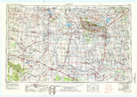
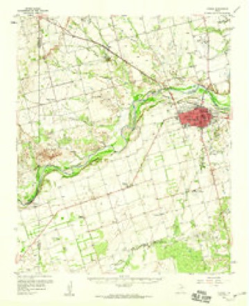
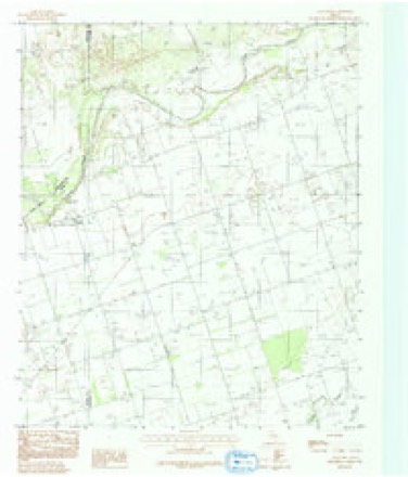
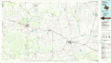
10 topographic sheets cover this place, the earliest surveyed in 1955 and the latest in 1986. It stands in the Lockett census division. It lies in ZIP code area 76384. The Survey maps it on the Rayland quadrangle.
Topographic sheets covering this place
4 surveys from 10 printed sheetsMatched by testing this settlement's coordinate against the published boundary of every sheet in the United States Geological Survey's historical collection. Each opens the scanned sheet at the Survey.
- 1955 USGS Lawton quadrangle1:250000, 5 printings
- 1958 USGS Vernon quadrangle1:62500, 2 printings
- 1983 USGS Rayland quadrangle1:24000, 2 printings
- 1986 USGS Vernon quadrangle1:100000
Fires near this place
16 since 2008Regional context, not property-specific evidence. The federal wildfire occurrence database lists 16 fires within 5 miles of Lockett between 2008 and 2020, burning about 484 acres in total. None started naturally. None was recorded as arson. Distance is straight-line from the map coordinates, so a fire counted here may appear on a neighbouring settlement's page as well.
| Reported cause | Fires |
|---|---|
| Debris and open burning | 5 |
| Missing data/not specified/undetermined | 4 |
| Equipment and vehicle use | 3 |
| Power generation/transmission/distribution | 2 |
| Smoking | 1 |
| Other causes | 1 |
The most recent of them, most recent first, with the day each was reported and the service that recorded it.
| Date | Cause | Size | Reported by | Name on the report |
|---|---|---|---|---|
| 15 August 2012 | Missing data/not specified/undetermined | 130 acres | Texas A & M Forest Service | BOND/PEASE RIVER FIRE |
| 15 August 2011 | Missing data/not specified/undetermined | 20 acres | Texas A & M Forest Service | LOCKETT FIRE |
| 8 July 2012 | Missing data/not specified/undetermined | 1.0 acres | Texas A & M Forest Service | 13101 HWY 70 FIRE |
| 21 July 2010 | Equipment and vehicle use | 150 acres | Texas A & M Forest Service | HASELOFF |
| 24 June 2011 | Debris and open burning | 1.0 acres | Texas A & M Forest Service | OMEGA DRIVE |
| 4 May 2014 | Smoking | 5.0 acres | Texas A & M Forest Service | NTSH SOUTH CAMPUS |
| 19 May 2012 | Power generation/transmission/distribution | 3.0 acres | Texas A & M Forest Service | FM 2073 FIRE |
| 18 May 2013 | Equipment and vehicle use | 100 acres | Texas A & M Forest Service | ANTELOPE PASTURE FIRE |
Settlements close enough to share some of these fires:
Storms near this place
57 since 1993Regional context, not property-specific evidence. The National Weather Service names Lockett in 57 storm reports between 1993 and 2024: 33 hail, 17 thunderstorm wind, 6 tornado, 1 flood. No death or injury is recorded in these reports. Each account below is quoted exactly as the forecast office filed it, from the NOAA Storm Events Database, and each date opens the federal record of that event.
| When | Event | Place named | Harm | What the report says |
|---|---|---|---|---|
| May 2022 | Tornado (EF3) | Lockett | $100,000 | The long-lived Lockett tornado moved into Wilbarger County from Foard County and continued to move northeast. As the tornado approached County Road 138, the tornado created significant tree damage and roof damage to a home, and destroyed an outbuilding. Along County Road 138, at least seven large steel electrical transmission towers were bent over, with the western most tower blown to the south. Roof damage occurred to another home just north of County Road 138 an another outbuilding was heavily damaged along County Road 83. The tornado then turned to the north and damaged another house, destroyed a barn and broke wooden utility poles along County Road 85 to the south of Lockett.||The tornado continued to move north and moved through mainly the eastern portion of the town of Lockett where it produced roof and wall damage to a number of homes and businesses, as well as tree and power pole damage. The tornado continued to veer in direction and moved north-northwest in areas north of Lockett before dissipating. |
| April 2021 | Tornado (EF2) | Lockett | $75,000 | This tornado initially developed in southeast Hardeman County and moved into Wilbarger County west of Lockett. This may have been a series of tornadoes across southeast Hardeman and far western Wilbarger Counties as the condensation funnel was not visible at times. However one chaser reported observing surface circulation continue even when the condensation funnel was not visible, so it is being documented here as a single tornado. The tornado became more visible and stronger west of Lockett as it was coming out of the breaks of the Pease River. The tornado hit a farmstead about 3 miles west of Lockett where a home suffered significant damage, outbuildings were destroyed or heavily damaged, and vehicles and farm implements were displaced, including a pick-up truck tossed 100 yards to the south-southwest. The tornado then turned eastward and was observed to dissipate just west of the town of Lockett. |
| April 2021 | Tornado (EF1) | Lockett | $50,000 | This tornado was observed developing about 2 miles east-southeast of Lockett. Soon after developing, it caused significant roof damage to a home 2.5 miles east-southeast of Lockett on FM-433. Outbuildings were destroyed southeast of here along FM-433 and County Road 95 S. Tree, power pole, fence and outbuilding damage continued as the tornado moved southeast. The ending location was estimated based on spotter reports. |
| July 2015 | Thunderstorm Wind | Lockett | $10,000 | Irrigation pivot blown over by wind. |
| October 1993 | Thunderstorm Wind | Lockett | $5,000 | no account filed |
| October 1999 | Thunderstorm Wind | Lockett | $3,000 | no account filed |
| July 2011 | Thunderstorm Wind | Lockett | $2,000 | Several tree limbs were downed, with the largest being around 5 inches in diameter. Monetary damages were estimated. |
| June 1999 | Thunderstorm Wind | Lockett | $2,000 | no account filed |
| June 2004 | Thunderstorm Wind | Lockett | $1,000 | Three inch diameter tree limbs were downed. |
| May 2024 | Hail | Lockett | - | MPing report. |
| May 2024 | Hail | Lockett | - | Time is radar estimated. |
| May 2020 | Hail | Lockett | - | Twitter pic with measurement. |
| July 2020 | Thunderstorm Wind | Lockett | - | Semi truck blown over near the Hardeman/Wilbarger county line. |
| May 2017 | Tornado (EFU) | Lockett | - | A spotter reported a tornado about 8 miles south of Vernon. No damage was reported. |
| April 2016 | Thunderstorm Wind | Lockett | - | No damage reported. |
| September 2016 | Thunderstorm Wind | Lockett | - | Measured with a personal anemometer. |
| July 2016 | Thunderstorm Wind | Lockett | - | No damage reported. Report relayed via emergency manager. |
| May 2015 | Tornado (EF1) | Lockett | - | Law enforcement and a storm chaser reported a tornado that moved from approximately 4 miles northwest of Lockett to near Lockett. Trees were damaged and the roof was damage from a metal building (DI 21; DOD 3). |
| April 2014 | Hail | Lockett | - | Hail size ranged from quarter to half dollar size with smaller hail covering the ground. |
| September 2012 | Hail | Lockett | - | Emergency manager reported 1.25 inch hail. |
| July 2009 | Thunderstorm Wind | Lockett | - | Damage was reported to several barns and storage buildings, with numerous trees and power poles/lines also downed. An empty mobile home was severely damaged as well. The damage was reported from the Green Acres subdivision west of Vernon, southwest to Lockett. Monetary damage estimates were not available. |
| April 2008 | Hail | Lockett | - | Penny size hail covered the ground near the intersection of county roads 2073 and 2074. |
| October 2006 | Flood | Lockett | - | Storm total precipitation amounts of 4 to 7 inches over the Pease River basin in western north Texas generated minor rural flooding on the Pease River along the Hardeman/Foard county line and in Wilbarger County on October 16-17. The Pease River crested at 16.1 feet, 1.1 feet above flood stage, at 2:45 am CST on October 17, and remained above flood stage from 8:45 pm CST on October 16 until 6:45 am CST on October 17. This was the first crest above flood stage since June 3, 2000, and the highest crest since July 11, 1999, when the Pease River crested at a stage of 18.4 feet. |
| June 1994 | Thunderstorm Wind | Lockett | - | Thunderstorm in the western part of north Texas during the evening hours on the 6th produced damaging winds. Thunderstorm winds blew down two-inch-diameter tree limbs six miles south of Chillicothe, downed trees in Vernon and rolled a large empty gasoline tank through a fence in Quanah. |
| May 2020 | Hail | Lockett | - | no account filed |
| July 2020 | Thunderstorm Wind | Lockett | - | no account filed |
| April 2016 | Hail | Lockett | - | no account filed |
| May 2015 | Hail | Lockett | - | no account filed |
| April 2013 | Hail | Lockett | - | no account filed |
| May 2011 | Hail | Lockett | - | no account filed |
| June 2009 | Hail | Lockett | - | no account filed |
| March 2007 | Thunderstorm Wind | Lockett | - | no account filed |
| May 2005 | Hail | Lockett | - | no account filed |
| April 2004 | Hail | Lockett | - | no account filed |
| April 2004 | Hail | Lockett | - | no account filed |
| April 2004 | Hail | Lockett | - | no account filed |
| May 2004 | Hail | Lockett | - | no account filed |
| June 2004 | Thunderstorm Wind | Lockett | - | no account filed |
| May 2004 | Hail | Lockett | - | no account filed |
| April 2003 | Hail | Lockett | - | no account filed |
| April 2003 | Hail | Lockett | - | no account filed |
| May 2003 | Hail | Lockett | - | no account filed |
| May 2002 | Hail | Lockett | - | no account filed |
| April 2000 | Hail | Lockett | - | no account filed |
| April 2000 | Thunderstorm Wind | Lockett | - | no account filed |
| May 2000 | Hail | Lockett | - | no account filed |
| October 1999 | Hail | Lockett | - | no account filed |
| May 1999 | Hail | Lockett | - | no account filed |
| May 1999 | Hail | Lockett | - | no account filed |
| January 1998 | Hail | Lockett | - | no account filed |
| April 1995 | Hail | Lockett | - | no account filed |
| April 1995 | Hail | Lockett | - | no account filed |
| April 1995 | Tornado (F0) | Lockett | - | no account filed |
| April 1994 | Hail | Lockett | - | no account filed |
| April 1993 | Thunderstorm Wind | Lockett | - | no account filed |
| October 1993 | Hail | Lockett | - | no account filed |
| October 1993 | Hail | Lockett | - | no account filed |
Nearest settlements
The eight closest, with where each one stands in the county. Distances are straight-line, computed from the Geographic Names Information System coordinates.
| Map | Place | Distance | Sheets |
|---|---|---|---|
| Parsley Hill | 3.5 miles | 10 | |
| Farmers Valley | 7.3 miles | 10 | |
| Vernon | 7.8 miles | 9 | |
| Tolbert | 9.6 miles | 10 | |
| Hinds | 10.8 miles | 9 | |
| Hoot and Holler Crossing | 11.4 miles | 7 | |
| Midway Crossing | 12.0 miles | 7 | |
| Grayback | 12.5 miles | 7 |
Provenance
This settlement is recorded in the Geographic Names Information System as feature 1361593. The sheet list is computed by point-in-boundary test against the United States Geological Survey's historical topographic inventory. Both are works of the United States government and carry no copyright under 17 U.S.C. 105.
Wildfire. Short, Karen C. 2022. Spatial wildfire occurrence data for the United States, 1992-2020 [FPA_FOD_20221014]. 6th Edition. Fort Collins, CO: Forest Service Research Data Archive. https://doi.org/10.2737/RDS-2013-0009.6 Collected with United States Government funding and usable without additional permissions or fees.
Storms. NOAA National Centers for Environmental Information, Storm Events Database https://www.ncei.noaa.gov/stormevents/ A work of the United States government, no copyright under 17 U.S.C. 105. Narratives are quoted verbatim from the National Weather Service report and are not edited or summarised.