 Block
BlockFrom the record
2 National Register listings published here.
Sources: the National Register database, National Park Service
31 topographic sheets cover 18 settlements here, and 2 properties are on the National Register of Historic Places.
2 National Register listings published here.
Sources: the National Register database, National Park Service
Every property in this county listed on the National Register of Historic Places, with the year it was listed and the federal nomination document.
| Photograph | Property | Type | Listed | Reference |
|---|---|---|---|---|
 | Doan's Adobe House | building | 1979 | 79003023 |
| Plaza Theater | building | 2023 | 100009409 |
Drawn when these were printed as single large sheets: the town seen from the air, and the county divided into its farms with every owner named. Each opens the original at the Library of Congress.

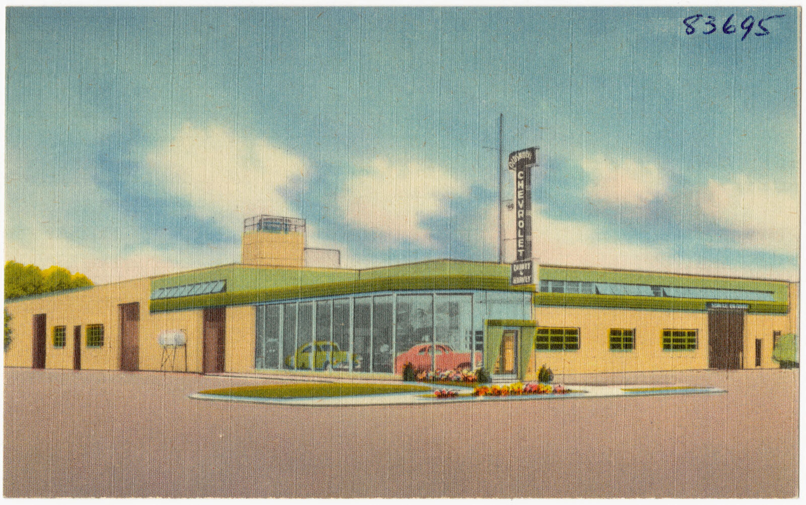
Selected from the Digital Public Library of America's 1 image records catalogued for this county. Every one shown here carries a public-domain status or a licence that permits reuse on a site that carries advertising; non-commercial, share-alike and restricted images are excluded. The selection is spread across the county's towns (at most eight per town), so no single institution's bulk upload crowds out the rest. Each opens the holding library's record, and the complete set at the Digital Public Library of America is one click away.
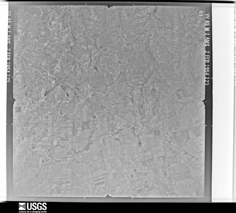
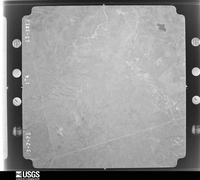
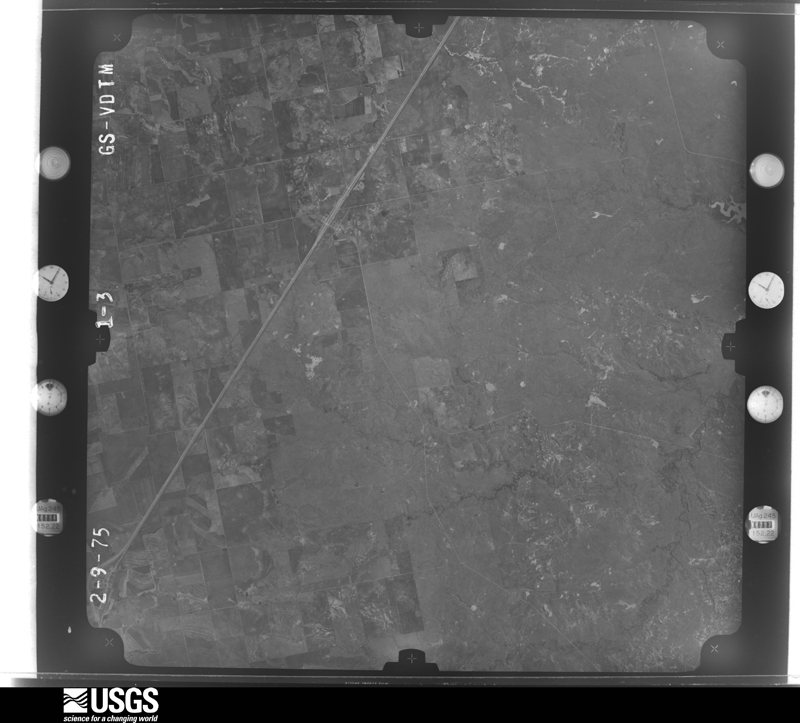
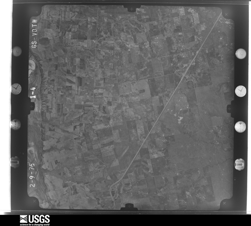
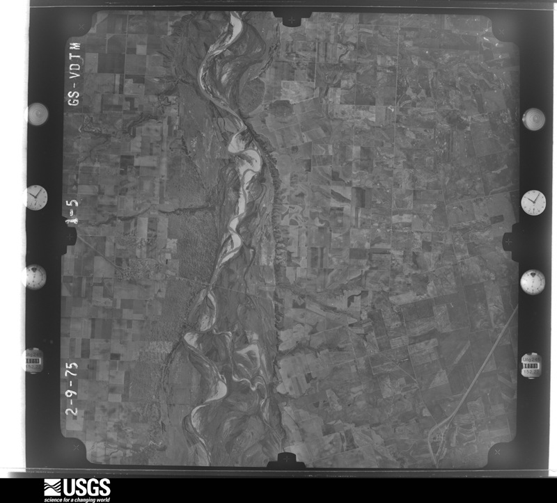
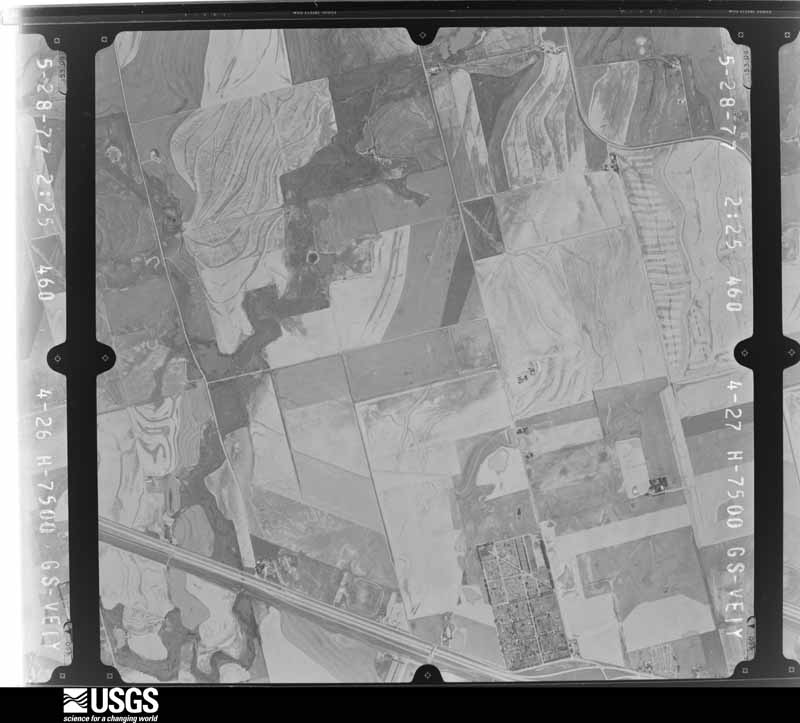
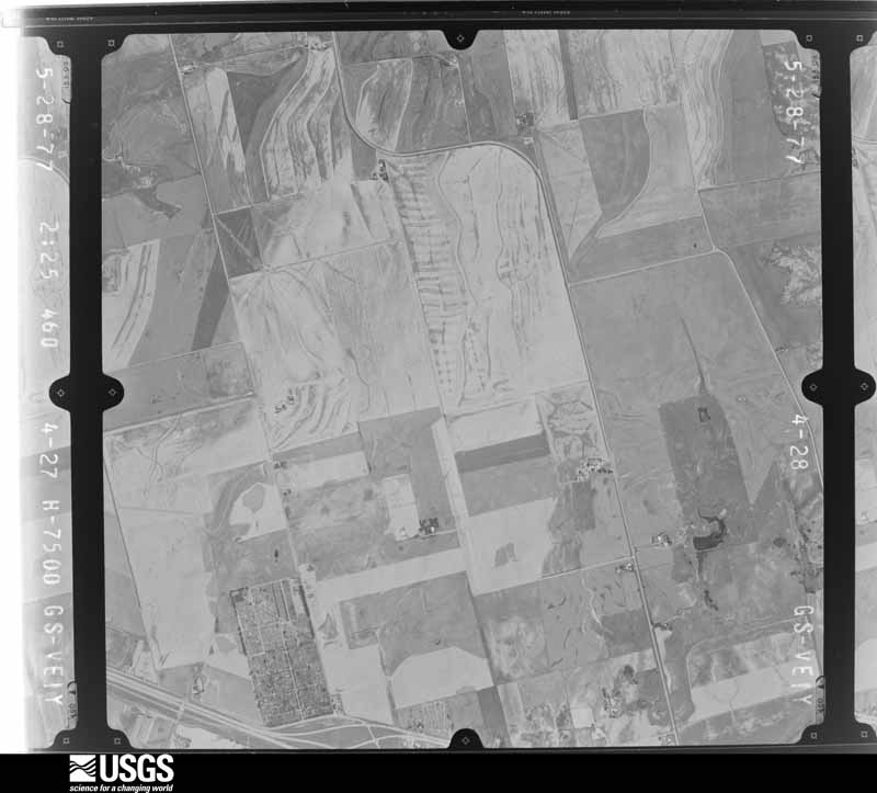
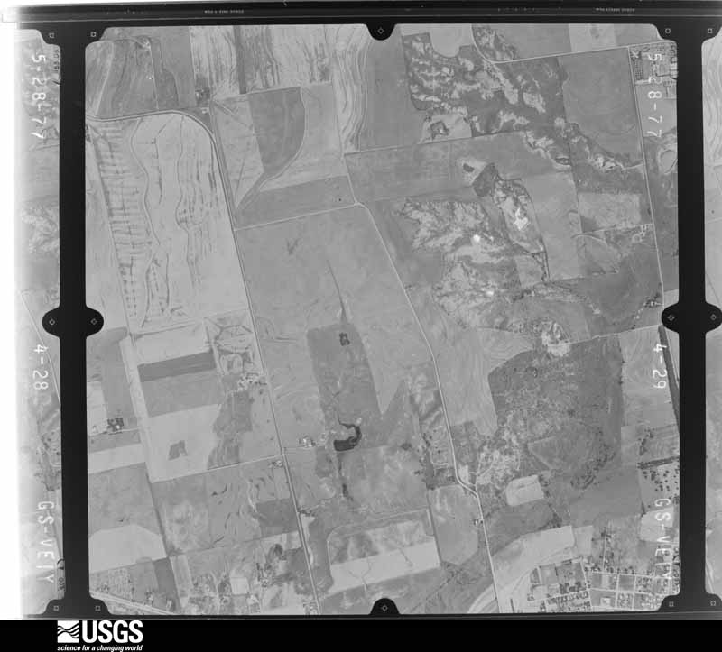
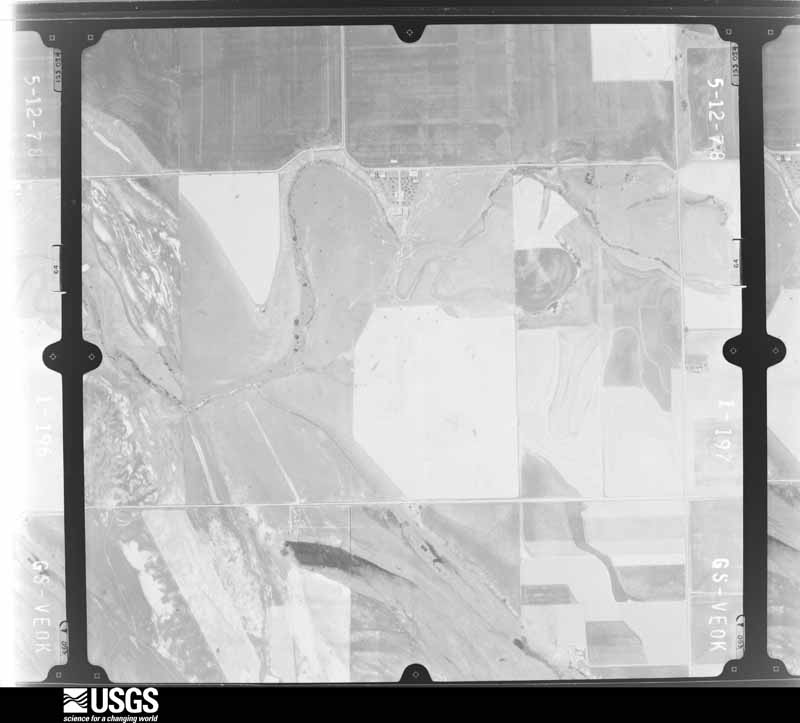
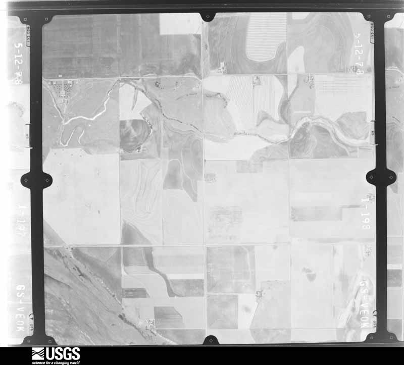
Flown by the U.S. Geological Survey between 1937 and 1989, the Aerial Photo Single Frames collection is the definitive mid-century view of the land: fields, roads and rivers as the camera saw them. The Survey holds 2,799 frames inside the rectangle that bounds this county; the 32 frames below were taken over the county itself, chosen across the decades of flights (at most four a year from that rectangle), so one flight cannot crowd out the rest. The full set is free to browse and download at EarthExplorer under the dataset Aerial Photo Single Frames.




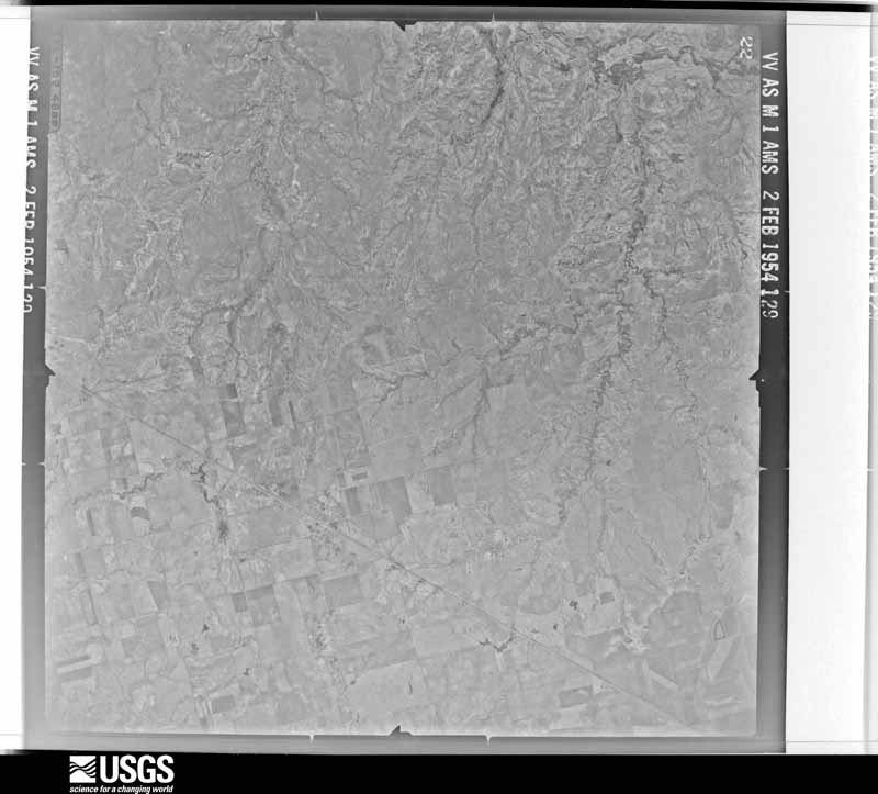
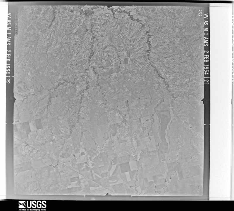
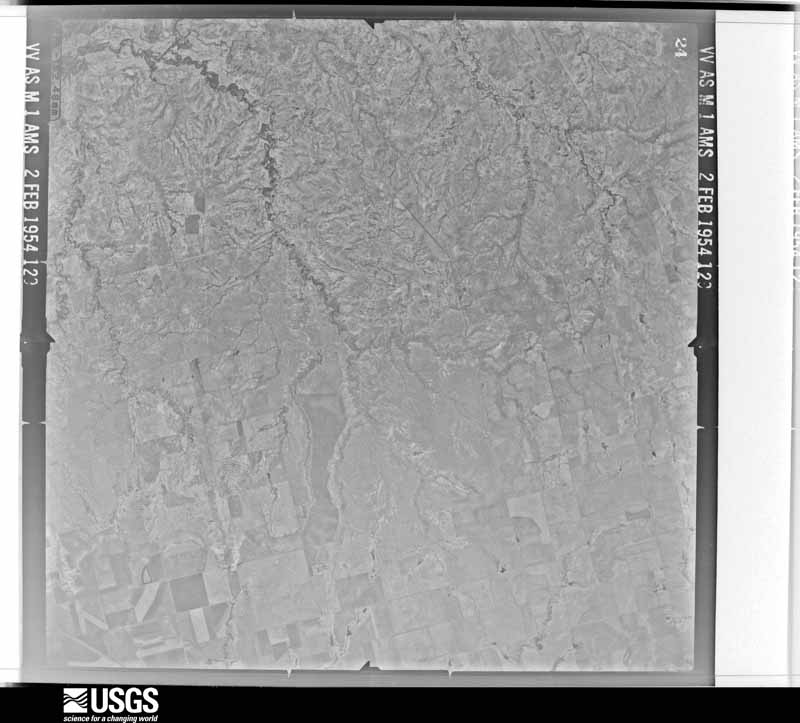




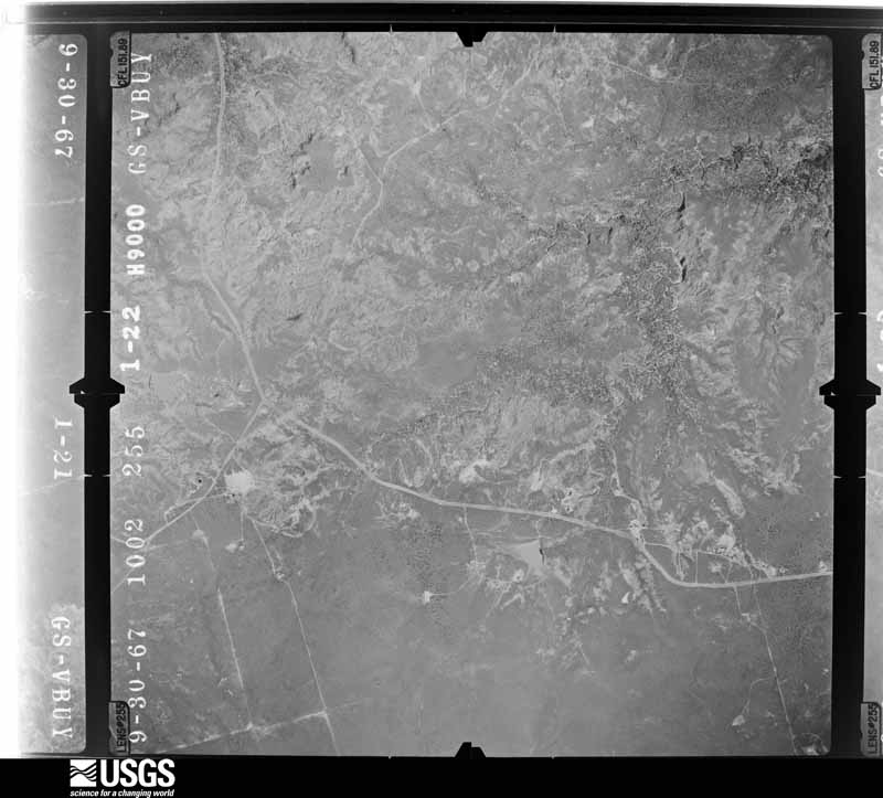
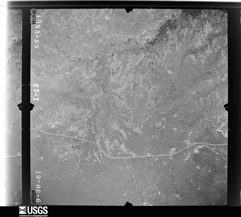
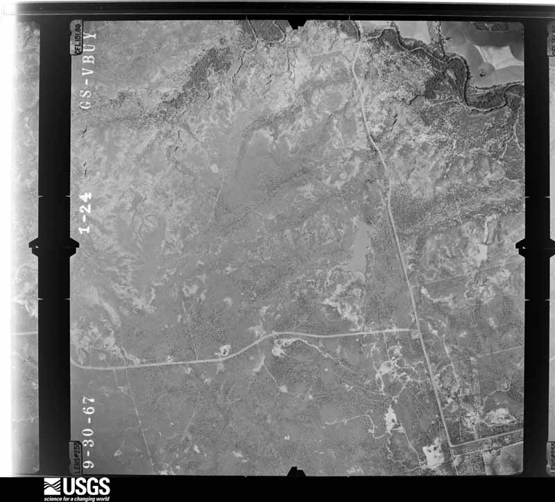
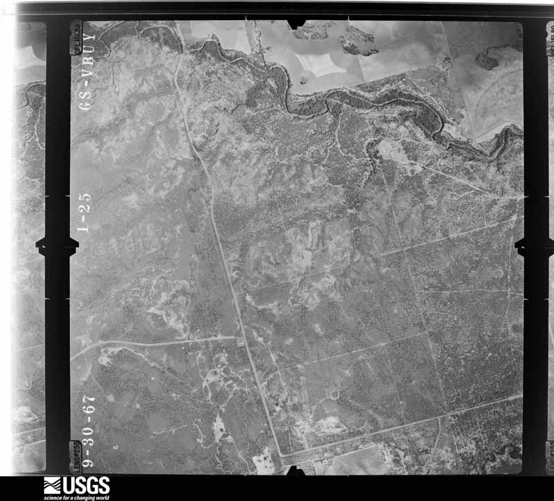

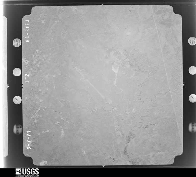





The thermometers that kept this county's weather, and the gages that measured the flow of its streams, as the federal records hold them. The extremes below are measured values from those records, not estimates.
Who lived here in 1950, one enumeration district at a time, as the Census Bureau described each district. Each row opens its official National Archives result, with Population Schedules and ED Maps available there.
Every wildfire the federal occurrence database records inside this county: 267 of them, burning about 21,349 acres. 24 started naturally and 11 were recorded as arson. Each settlement page carries the fires within five miles of it.
| Reported cause | Fires |
|---|---|
| Missing data/not specified/undetermined | 73 |
| Equipment and vehicle use | 67 |
| Debris and open burning | 37 |
| Power generation/transmission/distribution | 34 |
| Natural | 24 |
| Smoking | 15 |
| Arson/incendiarism | 11 |
| Railroad operations and maintenance | 3 |
| Misuse of fire by a minor | 2 |
| Other causes | 1 |
The five largest, by the area the report gives. None of them was recorded as arson.
| Date | Cause | Size | Reported by | Name on the report |
|---|---|---|---|---|
| 29 April 2011 | Missing data/not specified/undetermined | 3,000 acres | Texas A & M Forest Service | WAGNER FIRE |
| 11 July 2011 | Natural | 2,500 acres | Texas A & M Forest Service | WAGGONER COMPLEX |
| 6 August 2017 | Natural | 1,600 acres | Texas A & M Forest Service | WAGGONER ( INDIAN PENS) |
| 9 April 2009 | Missing data/not specified/undetermined | 1,500 acres | Texas A & M Forest Service | JENNINGS RD & HWY 25 |
| 28 July 2008 | Equipment and vehicle use | 1,200 acres | Texas A & M Forest Service | ROCK CREEK |
| 17 May 2012 | Power generation/transmission/distribution | 1,100 acres | Texas A & M Forest Service | FARGO |
| 30 January 2008 | Equipment and vehicle use | 1,000 acres | Texas A & M Forest Service | not named |
| 3 August 2020 | Debris and open burning | 703 acres | Texas A & M Forest Service | BEAVER CREEK |
Every settlement page carries the fires within five miles of it - see the settlement index below.
The NOAA Storm Events Database holds 594 reports for this county, causing 14 deaths, 105 injuries and about $35,278,250 in recorded property damage. Each settlement page carries the reports that name it.
| Kind of event | Reports |
|---|---|
| Hail | 318 |
| Thunderstorm Wind | 198 |
| Tornado | 58 |
| Flash Flood | 14 |
| Flood | 3 |
| Lightning | 1 |
| Funnel Cloud | 1 |
| Heavy Rain | 1 |
The most serious of them, by death, then injury, then recorded damage. The accounts are quoted exactly as the forecast office filed them.
| When | Event | Place named | Harm | What the report says |
|---|---|---|---|---|
| April 1979 | Tornado (F4) | not stated | 11 killed, 67 hurt, $25,000,000 | no account filed |
| May 1995 | Tornado (F0) | Burkburnett | 2 killed, 30 hurt | Severe thunderstorms produced large hail, flash flooding and 2 tornados. The first tornado was reported 5 miles southwest of Burkburnett in Wichita County, and the second was 3 miles west of Burkburnett. The second tornado touched down 6 minutes after the first began, and both tornados lifted at the same time. No damage was reported, and both were rated as F0. Significant damage occurred in Vernon with straight-line winds along a strong gust front. Numerous fences and trees as large as 4-feet in diameter and fences were downed (3 fell onto houses), 8 homes received major roof damage, and 4 storage buildings were destroyed. In addition, 2 businesses were damaged: parts of the roof were blown off a boot store, and a second store received major air conditioner and roof damage. Other reports included nickel sized hail in Vernon in Wilbarger County and water covering Highway 183 north of Vernon in Wilbarger County. |
| April 1979 | Tornado (F2) | not stated | 1 killed | no account filed |
| June 1992 | Tornado (F2) | not stated | 5 hurt, $2,500,000 | no account filed |
| May 1954 | Tornado (F4) | not stated | 2 hurt, $250,000 | no account filed |
| April 2008 | Tornado (EF1) | Harrold | 1 hurt, $30,000 | Several storm spotters reported a tornado near the Wilbarger and Wichita county lines. The tornado blew a vehicle into the path of a pickup on Highway 287. The driver of the car received minor injuries and was taken to an Electra hospital for treatment. The tornado also destroyed a garage at residence one half mile west of the county line on Highway 240. The car inside the garage suffered moderate damage. The tornado damaged a large tree and moved horse feeders about 600-700 feet from their original location. No injuries were reported with the tornado. Monetary damages were estimated. |
| September 1995 | Thunderstorm Wind | Vernon | $5,000,000 | Severe thunderstorm winds in Vernon in Wilbarger County blew out all of the windows and removed a large part of the roof of the administrative offices and gymnasium of a state hospital. Damage to the facilities was estimated at $1 to 2 million dollars. A mobile home was also destroyed and at least 14 utility poles were blown down. In Foard County severe thunderstorm winds downed two-inch tree limbs in Thalia. |
| June 2004 | Thunderstorm Wind | Vernon | $1,000,000 | Strong wind gusts caused heavy damage at the Wilbarger County Airport. Eleven hangers were damaged as well as nine aircraft. Seven of these aircraft were considered total losses. |
| June 2007 | Thunderstorm Wind | Harrold | $250,000 | A train engine and a following car filled with grain were blown over. The incident occurred at the intersection of FM 1763 and HWY 287. Monetary damages were estimated. |
| June 2004 | Thunderstorm Wind | Vernon | $150,000 | Some structural damage was reported around town. |
| May 2022 | Tornado (EF3) | Lockett | $100,000 | The long-lived Lockett tornado moved into Wilbarger County from Foard County and continued to move northeast. As the tornado approached County Road 138, the tornado created significant tree damage and roof damage to a home, and destroyed an outbuilding. Along County Road 138, at least seven large steel electrical transmission towers were bent over, with the western most tower blown to the south. Roof damage occurred to another home just north of County Road 138 an another outbuilding was heavily damaged along County Road 83. The tornado then turned to the north and damaged another house, destroyed a barn and broke wooden utility poles along County Road 85 to the south of Lockett.||The tornado continued to move north and moved through mainly the eastern portion of the town of Lockett where it produced roof and wall damage to a number of homes and businesses, as well as tree and power pole damage. The tornado continued to veer in direction and moved north-northwest in areas north of Lockett before dissipating. |
| April 2021 | Tornado (EF2) | Lockett | $75,000 | This tornado initially developed in southeast Hardeman County and moved into Wilbarger County west of Lockett. This may have been a series of tornadoes across southeast Hardeman and far western Wilbarger Counties as the condensation funnel was not visible at times. However one chaser reported observing surface circulation continue even when the condensation funnel was not visible, so it is being documented here as a single tornado. The tornado became more visible and stronger west of Lockett as it was coming out of the breaks of the Pease River. The tornado hit a farmstead about 3 miles west of Lockett where a home suffered significant damage, outbuildings were destroyed or heavily damaged, and vehicles and farm implements were displaced, including a pick-up truck tossed 100 yards to the south-southwest. The tornado then turned eastward and was observed to dissipate just west of the town of Lockett. |
| June 2007 | Thunderstorm Wind | Elliott | $60,000 | Major transmission lines were blown down. A barn was destroyed and two houses had their roofs blown off. Monetary damages were estimated. |
| April 2021 | Tornado (EF1) | Lockett | $50,000 | This tornado was observed developing about 2 miles east-southeast of Lockett. Soon after developing, it caused significant roof damage to a home 2.5 miles east-southeast of Lockett on FM-433. Outbuildings were destroyed southeast of here along FM-433 and County Road 95 S. Tree, power pole, fence and outbuilding damage continued as the tornado moved southeast. The ending location was estimated based on spotter reports. |
| August 2006 | Thunderstorm Wind | Vernon | $50,000 | The local high school sustained some roof damage. Some highway signs and trees were also downed. |
| May 2001 | Thunderstorm Wind | Vernon | $50,000 | Two hangars and 6 airplanes sustained damage. |
| April 2000 | Tornado (F1) | Oklaunion | $50,000 | This tornado formed 1.5 miles southeast of Oklaunion on the south side of Highway 287 with information of its existence coming from a Doppler-On-Wheels chase team, but was later confirmed by descriptions of damage from the Oklaunion Fire Department. One tied down mobile home on the north side of Highway 287 was ripped up by the wind and strewn over a half mile area. The base of the mobile home was picked up and placed against the side of a barn 20 feet to its east. Three large barns had roof and wall damage, and one barn had several two by fours stuck sideways into its east-facing wall. Two grain storage bins had their roofs blown off, and the foundation of one bin was moved about 18 inches. One shed was damaged, and another was blown away. Also, a driver traveling on Highway 287 pulled over to the side of the road to wait out the storm and had a two by four blown through the back window. Although this tornado was rated F1, most damage is consistent with F0 damage. |
| May 1995 | Thunderstorm Wind | not stated | $50,000 | Severe thunderstorms produced large hail, flash flooding and 2 tornados. The first tornado was reported 5 miles southwest of Burkburnett in Wichita County, and the second was 3 miles west of Burkburnett. The second tornado touched down 6 minutes after the first began, and both tornados lifted at the same time. No damage was reported, and both were rated as F0. Significant damage occurred in Vernon with straight-line winds along a strong gust front. Numerous fences and trees as large as 4-feet in diameter and fences were downed (3 fell onto houses), 8 homes received major roof damage, and 4 storage buildings were destroyed. In addition, 2 businesses were damaged: parts of the roof were blown off a boot store, and a second store received major air conditioner and roof damage. Other reports included nickel sized hail in Vernon in Wilbarger County and water covering Highway 183 north of Vernon in Wilbarger County. |
| September 1995 | Thunderstorm Wind | Vernon | $50,000 | A severe thunderstorm in Wilbarger County downed power lines, blew part of the roof off a business, and destroyed outbuildings three miles south of Vernon. Lightning struck, ignited, and destroyed two mobile homes in Henrietta in Clay County. |
| May 1994 | Thunderstorm Wind | Northern Vernon | $50,000 | no account filed |
| May 1999 | Thunderstorm Wind | Vernon | $40,000 | no account filed |
| August 1996 | Thunderstorm Wind | Vernon | $35,000 | no account filed |
| September 2016 | Heavy Rain | Vernon | $30,000 | Roof collapsed due to heavy rain. 2 to 3 inches of rain was reported. Debris caused damage to a second building as well. |
| May 1997 | Thunderstorm Wind | Harrold | $25,000 | Severe thunderstorm winds estimated at over 70 mph caused widespread damage in and around Harrold. The winds blew an empty cattle trailer into the canopy at a truck stop. The canopy and part of the roof of the building were severely damaged. Light poles and signs were also blown down at the truck stop. Residential roofs were damaged, fences and trees were downed, and windows were broken throughout town. Near the elementary school a garage and a barn were completely demolished, and a second barn was severely damaged. The roof of the elementary school also collapsed. On US Hwy 287 a tractor-trailer was blown off of the road. |
| May 1982 | Tornado (F3) | not stated | $25,000 | no account filed |
| May 1968 | Tornado (F3) | not stated | $25,000 | no account filed |
| June 1962 | Tornado (F2) | not stated | $25,000 | no account filed |
| September 1957 | Tornado (F1) | not stated | $25,000 | no account filed |
| September 1957 | Tornado (F1) | not stated | $25,000 | no account filed |
| May 1956 | Tornado (F1) | not stated | $25,000 | no account filed |
| July 2023 | Thunderstorm Wind | Vernon | $20,000 | Image showing a large section of a metal roof facade removed from a motel building. Time is radar estimated. |
| June 2003 | Thunderstorm Wind | Vernon | $15,000 | Numerous tree limbs were downed. An apartment building sustained roof damage. |
| June 2007 | Thunderstorm Wind | Vernon | $13,000 | Several large trees and power lines downed. Monetary damages were estimated. |
| July 2015 | Thunderstorm Wind | Lockett | $10,000 | Irrigation pivot blown over by wind. |
| April 2008 | Hail | Harrold | $10,000 | The hail reportedly damaged several cars. Monetary damages were estimated. |
| July 2004 | Thunderstorm Wind | Vernon | $10,000 | A hangar at the Wilbarger County airport was heavily damaged. |
| May 2001 | Thunderstorm Wind | Vernon | $10,000 | A ninety-two mph wind gust was measured at the Wilbarger Auditorium. Twenty-seven trees were downed at Hill Crest Country Club. |
| May 1999 | Thunderstorm Wind | Vernon | $10,000 | no account filed |
| May 1999 | Flash Flood | Vernon | $10,000 | no account filed |
| June 2008 | Thunderstorm Wind | Vernon | $8,000 | Highway 287 had to be closed due to transmission lines lying over the roadway. Monetary damages were estimated. |
| August 2008 | Thunderstorm Wind | Vernon | $8,000 | The wind gust caused minor roof damage, as well as minor tree and power line damage. Monetary damages were estimated. |
| June 2007 | Thunderstorm Wind | Vernon | $8,000 | One tree was blown over with other trees having limbs blown down. A couple windows in a store were blown out and an awning was blown over a house. Monetary damages were estimated. |
| July 1997 | Thunderstorm Wind | Vernon | $7,000 | Severe thunderstorm winds downed trees, blew plate glass windows out of a hotel, and blew the roof off the bathrooms at the city park. Power lines were blown down, and several large tree limbs were broken. One large limb landed on a car, breaking out all of the car's windows. |
| May 1999 | Thunderstorm Wind | Vernon | $7,000 | no account filed |
| May 2020 | Thunderstorm Wind | Harrold | $5,000 | Powerlines and powerpoles downed. Time estimated from radar. |
| July 2020 | Thunderstorm Wind | Vernon | $5,000 | RV trailers flipped over. |
| May 2018 | Thunderstorm Wind | Oklaunion | $5,000 | A swath of strong thunderstorm wind damage occurred northeast of Oklaunion. Tree and house damage was noted on county road 117 N just north of US-287, near US-287 and county road 128 E, and along FM-1763. |
| April 2013 | Tornado (EF0) | Harrold | $5,000 | Multiple reports of a tornado near Harrold. Tornado last approximately two minutes and did very minor damage to power lines and power poles. |
| May 2003 | Thunderstorm Wind | Fargo | $5,000 | A house sustained roof damage from the strong winds. |
| May 2001 | Thunderstorm Wind | Harrold | $5,000 | A tractor-trailer was overturned. |
| June 1995 | Thunderstorm Wind | Odell | $5,000 | Severe thunderstorms during the evening of the 3rd produced damaging winds and one tornado. The tornado was a brief F0 spotted on the Red River 11 miles northwest of Goodlett in Hardeman County. (This is the same tornado reported in Oklahoma in Harmon County 15 miles south-southwest of Gould.) Severe thunderstorm winds in Wilbarger County downed six utility poles one miles south of Odell and felled large trees in Odell, one onto a house. |
| June 1995 | Thunderstorm Wind | Odell | $5,000 | Severe thunderstorms during the evening of the 3rd produced damaging winds and one tornado. The tornado was a brief F0 spotted on the Red River 11 miles northwest of Goodlett in Hardeman County. (This is the same tornado reported in Oklahoma in Harmon County 15 miles south-southwest of Gould.) Severe thunderstorm winds in Wilbarger County downed six utility poles one miles south of Odell and felled large trees in Odell, one onto a house. |
| October 1993 | Thunderstorm Wind | Lockett | $5,000 | no account filed |
| July 2006 | Thunderstorm Wind | Harrold | $3,500 | Power poles were downed. |
| May 2003 | Thunderstorm Wind | Harrold | $3,500 | A tractor shed was blown over. |
| April 2012 | Thunderstorm Wind | Vernon | $3,000 | Power lines were downed near the corner of CR 134 E and Highway 183. |
| October 1999 | Thunderstorm Wind | Lockett | $3,000 | no account filed |
| May 2000 | Thunderstorm Wind | Vernon | $2,500 | Several utility poles were downed in the 2600 block of Wheeler, and road signs were blown over. |
| May 1982 | Tornado (F1) | not stated | $2,500 | no account filed |
| May 1977 | Tornado (F2) | not stated | $2,500 | no account filed |
The Survey's mineral resources record lists 2 workings inside this county. None of them still produces: all are closed or unrecorded. Each settlement page carries the workings within five miles of it.
| Commodity | Workings |
|---|---|
| Copper | 2 |
The least common of them first, because a county's hundredth gravel pit says nothing its first ten did not.
| Where | Site | Commodity | Status | Recorded |
|---|---|---|---|---|
| Paradise Creek-1 | Copper | Occurrence | ||
| Unknown | Copper | Occurrence |
Named settlements recorded in the Geographic Names Information System, each with the topographic sheets covering it. Villages, hamlets and abandoned places alike. Each is shown with the nearest named watercourse or landform and the survey quadrangle it falls on.
Harrold-Oklaunion census division · 76360 · On Turkey Creek · Grayback quadrangle
7 sheets, 1954 to 1985
Lockett census division · 76360 · Grayback quadrangle
7 sheets, 1954 to 1985
Harrold-Oklaunion census division · 76360 · On Lillus Creek · Grayback quadrangle
7 sheets, 1954 to 1985
Harrold-Oklaunion census division · 76360 · On Hereford Branch · Grayback quadrangle
7 sheets, 1954 to 1985