 Block
BlockLora, Texas
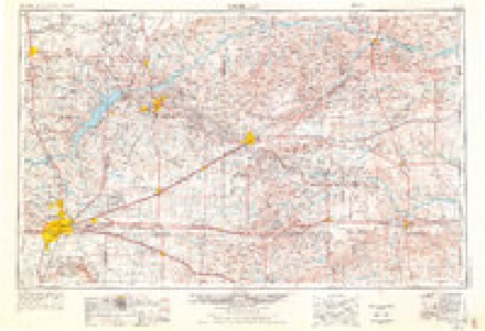
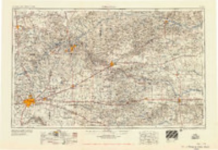
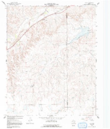
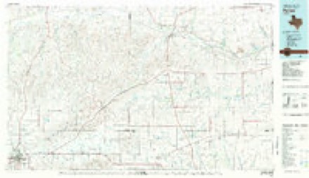
6 topographic sheets cover this place, the earliest surveyed in 1954 and the latest in 1982. It stands in the Miami census division. It lies in ZIP code area 79059. The Survey maps it on the Lora quadrangle.
Topographic sheets covering this place
4 surveys from 6 printed sheetsMatched by testing this settlement's coordinate against the published boundary of every sheet in the United States Geological Survey's historical collection. Each opens the scanned sheet at the Survey.
- 1954 USGS Amarillo quadrangle1:250000, 2 printings
- 1958 USGS Amarillo quadrangle1:250000
- 1967 USGS Lora quadrangle1:24000, 2 printings
- 1982 USGS Pampa quadrangle1:100000
Fires near this place
20 since 2006Regional context, not property-specific evidence. The federal wildfire occurrence database lists 20 fires within 5 miles of Lora between 2006 and 2019, burning about 258 acres in total. 2 started naturally. 1 was recorded as arson. Distance is straight-line from the map coordinates, so a fire counted here may appear on a neighbouring settlement's page as well.
| Reported cause | Fires |
|---|---|
| Equipment and vehicle use | 11 |
| Debris and open burning | 4 |
| Natural | 2 |
| Missing data/not specified/undetermined | 1 |
| Railroad operations and maintenance | 1 |
| Arson/incendiarism | 1 |
The most recent of them, most recent first, with the day each was reported and the service that recorded it.
| Date | Cause | Size | Reported by | Name on the report |
|---|---|---|---|---|
| 25 September 2006 | Missing data/not specified/undetermined | 1.0 acres | Texas A & M Forest Service | not named |
| 2 September 2010 | Equipment and vehicle use | 2.0 acres | Texas A & M Forest Service | EAGLEROCK CO.RD.3 |
| 6 August 2011 | Natural | 18 acres | Texas A & M Forest Service | MINDOTA RANCH |
| 3 August 2011 | Equipment and vehicle use | 2.0 acres | Texas A & M Forest Service | EAGLE ROCK ARRINGTON |
| 28 August 2011 | Equipment and vehicle use | 2.0 acres | Texas A & M Forest Service | EAGLE ROCK ARRINGTON 2 |
| 24 July 2008 | Debris and open burning | 10 acres | Texas A & M Forest Service | not named |
| 21 July 2008 | Railroad operations and maintenance | 40 acres | Texas A & M Forest Service | not named |
| 19 July 2011 | Equipment and vehicle use | under an acre | Texas A & M Forest Service | US 60 WEST SPOT FIRES |
Storms near this place
11 since 2007Regional context, not property-specific evidence. The National Weather Service names Lora in 11 storm reports between 2007 and 2019: 5 thunderstorm wind, 3 hail, 3 tornado. No death or injury is recorded in these reports. Each account below is quoted exactly as the forecast office filed it, from the NOAA Storm Events Database, and each date opens the federal record of that event.
| When | Event | Place named | Harm | What the report says |
|---|---|---|---|---|
| July 2019 | Thunderstorm Wind | Lora | - | Large tree blown down onto US Highway 60 at 5 Mile Park east of Miami. |
| May 2019 | Tornado (EF2) | Lora | - | The tornado touched down in northern Roberts County around 659 pm CDT, crossed the Roberts/Ochiltree county line around 704 pm CDT and the Ochiltree/Lipscomb county line around 719 pm CDT before dissipating through a rope out process by 733 pm CDT. Damage from the tornado consisted mostly of damage to trees, power lines and |oil/natural gas field equipment and sheds. There was also two manufactured homes being transported via truck the were blown off Highway 83. The tornado was noted to be larger and possibly stronger in inaccessible open county to the southwest of|the location where it was measured to be around 1/2 mile wide and rated an EF2 by the survey team. |
| June 2018 | Hail | Lora | - | Late report of quarter size hail and heavy rainfall with thunderstorm. |
| November 2015 | Tornado (EF0) | Lora | - | The path details of this tornado are based on trained spotter accounts and radar information. No damage was observed. A rating of EF-0 was assigned. This tornado moved into Hemphill County. |
| June 2014 | Tornado (EF1) | Lora | - | A slow moving supercell thunderstorm moved southward across the eastern Texas Panhandle during the evening hours of the 22nd. This supercell produced multiple brief tornadoes over the course of several hours. This tornado began in extreme eastern Roberts County where it produced light damage at a ranch house. A barn was partially un-roofed and numerous trees were damaged. The tornado then drifted east across the Hemphill County line, generally along and just south of Red Deer Road. It damaged a second homestead approximately 7 miles west-northwest of Canadian. A metal and wood constructed barn was destroyed, with all roof panels removed and most walls collapsed. Wind estimated of 85 to 90 mph were based on damage to this particular structure. Additional tree damage also occurred at this location. After this tornado dissipated, the parent supercell continued moving south across the eastern Texas Panhandle. |
| June 2014 | Thunderstorm Wind | Lora | - | A cluster of thunderstorms moved out of the Oklahoma Panhandle and into the Texas Panhandle during the evening hours of the 30th. As this cluster of thunderstorms moved near the town of Miami (Roberts County), the KVII schoolnet site 8 miles north of Miami (Roberts County) reported a 63 mph thunderstorm downburst. After producing this downburst the cluster of thunderstorms continued to move to the southeast. |
| June 2014 | Thunderstorm Wind | Lora | - | A cluster of discrete thunderstorms moving across the Texas Panhandle transitioned into a broken linear structure during the late evening hours of the 6th. As this broken line of storms moved north of the town of Miami (Roberts County), the KVII Schoolnet site 8 miles north of Miami (Roberts County) reported a 63 mph downburst gust. After producing this gust the line of thunderstorms continued moving eastward across the Panhandle. |
| August 2007 | Thunderstorm Wind | Lora | - | Several tree limbs reported broken at the Hemphill County and Roberts County line. Time was estimated based on the radar. |
| May 2018 | Hail | Lora | - | no account filed |
| February 2012 | Thunderstorm Wind | Lora | - | no account filed |
| April 2010 | Hail | Lora | - | no account filed |
Nearest settlements
The eight closest, with where each one stands in the county. Distances are straight-line, computed from the Geographic Names Information System coordinates.
| Map | Place | Distance | Sheets |
|---|---|---|---|
| Miami | 5.5 miles | 5 | |
| Codman | 12.5 miles | 5 | |
| Parnell (historical) | 17.6 miles | 5 | |
| Wayside | 22.3 miles | 5 |
Provenance
This settlement is recorded in the Geographic Names Information System as feature 1380111. The sheet list is computed by point-in-boundary test against the United States Geological Survey's historical topographic inventory. Both are works of the United States government and carry no copyright under 17 U.S.C. 105.
Wildfire. Short, Karen C. 2022. Spatial wildfire occurrence data for the United States, 1992-2020 [FPA_FOD_20221014]. 6th Edition. Fort Collins, CO: Forest Service Research Data Archive. https://doi.org/10.2737/RDS-2013-0009.6 Collected with United States Government funding and usable without additional permissions or fees.
Storms. NOAA National Centers for Environmental Information, Storm Events Database https://www.ncei.noaa.gov/stormevents/ A work of the United States government, no copyright under 17 U.S.C. 105. Narratives are quoted verbatim from the National Weather Service report and are not edited or summarised.