 Block
BlockLos Fresnos, Texas
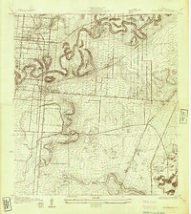
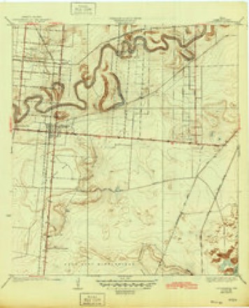
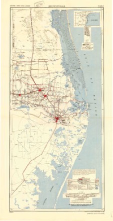
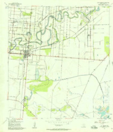
14 topographic sheets cover this place, the earliest surveyed in 1930 and the latest in 1992. It stands in the Los Fresnos-Laureles census division. It lies in ZIP code area 78566. It lies near Tule Lake Bed. The Survey maps it on the Los Fresnos quadrangle. 8,114 people lived here at the 2020 count. It stands 23 feet above sea level.
Population over time
2 figuresLos Fresnos grew from 5,542 to 8,114 between 2010 and 2020. These are the recorded population figures Wikidata holds for this place, reached through the Geographic Names Information System number this page is keyed on rather than by name, so they belong to this place and not to another of the same name. Most are census counts, but not all are: an early figure may be a founding or settlement estimate, and an estimate published within five years of a census is left out. The change column is computed, and is left blank where more than 20 years separate a figure from the one before it, because a gap that long is not a change between two counts.
| Year | People | Change |
|---|---|---|
| 2010 | 5,542 | |
| 2020 | 8,114 | +2,572 (+46%) |
Topographic sheets covering this place
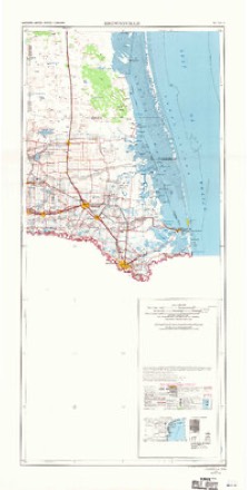
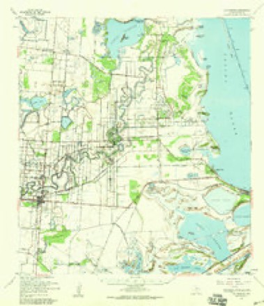
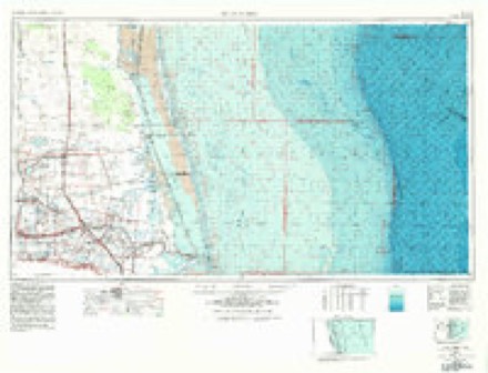
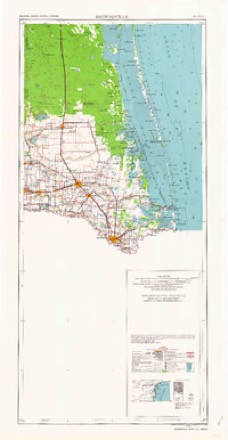
9 surveys from 14 printed sheetsMatched by testing this settlement's coordinate against the published boundary of every sheet in the United States Geological Survey's historical collection. Each opens the scanned sheet at the Survey.
- 1930 USGS Los Fresnos quadrangle1:24000
- 1936 USGS Los Fresnos quadrangle1:31680, 3 printings
- 1953 USGS Brownsville quadrangle1:250000
- 1955 USGS Los Fresnos quadrangle1:24000, 3 printings
- 1956 USGS Brownsville quadrangle1:250000, 2 printings
- 1956 USGS Los Fresnos quadrangle1:62500
- 1956 USGS Port Isabel quadrangle1:250000
- 1962 USGS Brownsville quadrangle1:250000
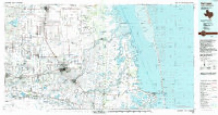
- 1992 USGS Harlingen quadrangle1:100000
Fires near this place
141 since 1993Regional context, not property-specific evidence. The federal wildfire occurrence database lists 141 fires within 5 miles of Los Fresnos between 1993 and 2020, burning about 1,630 acres in total. 3 started naturally. 9 were recorded as arson. Distance is straight-line from the map coordinates, so a fire counted here may appear on a neighbouring settlement's page as well.
| Reported cause | Fires |
|---|---|
| Debris and open burning | 57 |
| Missing data/not specified/undetermined | 56 |
| Arson/incendiarism | 9 |
| Equipment and vehicle use | 8 |
| Power generation/transmission/distribution | 5 |
| Natural | 3 |
| Misuse of fire by a minor | 3 |
The most recent of them, most recent first, with the day each was reported and the service that recorded it.
| Date | Cause | Size | Reported by | Name on the report |
|---|---|---|---|---|
| 6 September 2015 | Equipment and vehicle use | 1.0 acres | Texas A & M Forest Service | GRASS FIRE |
| 6 September 2002 | Arson/incendiarism | 3.0 acres | South Texas Refuge Complex | MIDGET |
| 23 September 2017 | Debris and open burning | 1.0 acres | Texas A & M Forest Service | GRASS FIRE |
| 2 September 2017 | Debris and open burning | 1.0 acres | Texas A & M Forest Service | GRASS FIRE |
| 18 September 2017 | Debris and open burning | 1.0 acres | Texas A & M Forest Service | GRASS FIRE |
| 7 August 2019 | Missing data/not specified/undetermined | under an acre | Lower Rio Grande Valley National Wildlife Refuge | PALO ALTO |
| 6 August 2017 | Debris and open burning | 2.0 acres | Texas A & M Forest Service | GRASS FIRE FM 2480 |
| 30 August 2019 | Missing data/not specified/undetermined | 5.0 acres | Texas A & M Forest Service | GRASS FIRE |
Settlements close enough to share some of these fires:
Storms near this place
20 since 1998Regional context, not property-specific evidence. The National Weather Service names Los Fresnos in 20 storm reports between 1998 and 2025: 7 thunderstorm wind, 5 flash flood, 3 flood, 2 heavy rain. No death or injury is recorded in these reports. Each account below is quoted exactly as the forecast office filed it, from the NOAA Storm Events Database, and each date opens the federal record of that event.
| When | Event | Place named | Harm | What the report says |
|---|---|---|---|---|
| August 2018 | Thunderstorm Wind | Los Fresnos | $500,000 | Thunderstorm winds of between 45 and 52 mph knocked down several palm fronds and blew unfastened lawn furniture around portions of the City of Los Fresnos to Harlingen. Harlingen/Valley International Airport recorded a wind gust of 52 mph at 2:46 PM CST. |
| August 2015 | Flash Flood | Los Fresnos | $200,000 | Much of greater Brownsville, particularly along and west of Paredes Line Road (FM 1847), was quickly inundated by one to four feet of water after nearly three hours of torrents dropped four to more than six inches of rain during the mid-afternoon. Numerous vehicles were flooded. A school bus became trapped near Price Road and southbound U.S. 77 Frontage. The flooding was most severe in the Galaxia Colonia. Dozens of properties had some water inundation, particularly west of U.S. 88. In west Brownsville, a resaca overflowed its banks and flooded Laredo Road. Numerous roads were inundated, including U.S. 77 just south of the 511 interchange, the intersection of 511 and Paredes, and Alton Gloor near U.S. 77. |
| April 2023 | Thunderstorm Wind | Los Fresnos | $150,000 | An NWS Storm Survey conducted the evening of April 23rd found wind damage consistent with 65 to 75 mph wind gusts between Los Fresnos to Bayview along and north of Old Port Road. Some of the strongest winds were found near along Calle Hermosa where a large pine tree trunk was split. Also, a metal roof of the parish hall at St. Cecilia Church in Los Fresnos was blown off a strewn across W Ocean Blvd. Another cluster of wind damage was reported in and around Bayview with several tree limbs down along North San Roman Road. A large tree was uprooted on South San Roman n Road at the intersection of E Toronja Road. Several other tree limbs were downed along North San Roman Road up to Schafer Road. |
| October 2019 | Thunderstorm Wind | Los Fresnos | $25,000 | A line of strong thunderstorms developed over the lower Rio Grande Valley and quickly became severe as it progressed eastward across Cameron County. Within the line, a very notable downburst developed just ahead of Bayview and caused destructive straight-line winds. Widespread tree damage was surveyed, in addition to the destruction of a sunroom on the south side of Bayview. Also, several large trees were uprooted with numerous large tree branches down. |
| November 1998 | Tornado (F0) | Los Fresnos | $20,000 | no account filed |
| May 1999 | Thunderstorm Wind | Los Fresnos | $2,000 | Tree limbs down. |
| October 2009 | Thunderstorm Wind | Los Fresnos | $1,000 | A line of strong to severe thunderstorms marched through central and eastern Cameron County during the mid afternoon of October 26th. Long duration wind gusts associated with the microburst produced peak winds of 56 mph at the Cameron County Airport, and 57 mph at the Realitos Peninsula Texas Coastal Ocean Observing Network site less than 10 miles to the northeast.||NWS employees from Rancho Viejo (west of this track) and just north of Los Fresnos reported several small limbs down; an 8 to 12 inch diameter limb blown down in Rancho Viejo was rotting. |
| November 2025 | Hail | Los Fresnos | - | Public reported hail of 1 inch in diameter one mile east of Los Fresnos, TX. |
| May 2021 | Flash Flood | Los Fresnos | - | Local emergency management coordinator and on-site law enforcement/fire and rescue reported water entering properties on the east side of Los Fresnos in poorly draining locations where 3 inches fell in a 2 to 3 hour period. |
| July 2021 | Flash Flood | Los Fresnos | - | The Los Fresnos Police Department reported more than 10 streets in the city were experiencing flooding. Floodwaters were rising over curbs and spilling into sidewalks at the time of the report. |
| July 2021 | Flood | Los Fresnos | - | The Cameron County Sheriff's Department reported FM 2480 between Bayview and Los Fresnos was flooded, with up to 1 foot of water covering the westbound lane. |
| October 2021 | Flood | Los Fresnos | - | Picture received from the public of water halfway up the wheel wells of several cars in Los Fresnos near the library. |
| October 2014 | Heavy Rain | Los Fresnos | - | Heavy rain fell across central and northern Cameron County during the morning hours, with several CoCoRaHS observers reporting rainfall totals between 2 and nearly 4 inches. 3.75 inches was reported just east of Rio Hondo. |
| April 2012 | Hail | Los Fresnos | - | Trained spotter reported nickel to quarter size hail falling across Los Fresnos. |
| March 2007 | Heavy Rain | Los Fresnos | - | A NWS employee reported 6.94 inches of total rainfall near Los Fresnos. |
| March 2007 | Flash Flood | Los Fresnos | - | Standing water three feet deep was reported at the intersection of FM 510 and FM 803. |
| September 2003 | Flash Flood | Los Fresnos | - | Heavy rains led to flash flooding of Highway 100 west of Los Fresnos. |
| May 2002 | Thunderstorm Wind | Los Fresnos | - | Los Fresnos Police Department estimated wind gusts to 60 mph |
| October 2002 | Thunderstorm Wind | Los Fresnos | - | Thunderstorm winds downed power lines, damaged a power pole, and severed tree limbs in Los Fresnos. |
| October 2002 | Flood | Los Fresnos | - | Street flooding was reported in Los Fresnos by an off-duty NWS employee. |
Nearest settlements
The eight closest, with where each one stands in the county. Distances are straight-line, computed from the Geographic Names Information System coordinates.
| Map | Place | Distance | Sheets |
|---|---|---|---|
| La Peñusca | 1.0 miles | 14 | |
| Los Cuates | 1.2 miles | 14 | |
| Shoemaker Acres Colonia | 1.6 miles | 14 | |
| Orason Acres Colonia | 1.8 miles | 14 | |
| Indian Lake | 1.8 miles | 15 | |
| Chula Vista Colonia | 1.9 miles | 14 | |
| Paredes Estates Colonia | 2.7 miles | 14 | |
| Laureles | 2.8 miles | 14 |
Elsewhere
Matched on this settlement's Geographic Names Information System number rather than its name, so it cannot be a different place of the same name in another state.
| Wikipedia article on Los Fresnos | An encyclopaedic summary. Its text is share-alike, so it is linked here rather than copied. |
| Wikidata item Q981523 | The structured record the population and elevation above come from. Public domain (CC0). |
Provenance
This settlement is recorded in the Geographic Names Information System as feature 1374724. The sheet list is computed by point-in-boundary test against the United States Geological Survey's historical topographic inventory. Both are works of the United States government and carry no copyright under 17 U.S.C. 105.
Wildfire. Short, Karen C. 2022. Spatial wildfire occurrence data for the United States, 1992-2020 [FPA_FOD_20221014]. 6th Edition. Fort Collins, CO: Forest Service Research Data Archive. https://doi.org/10.2737/RDS-2013-0009.6 Collected with United States Government funding and usable without additional permissions or fees.
Storms. NOAA National Centers for Environmental Information, Storm Events Database https://www.ncei.noaa.gov/stormevents/ A work of the United States government, no copyright under 17 U.S.C. 105. Narratives are quoted verbatim from the National Weather Service report and are not edited or summarised.