 Block
BlockManor, Texas
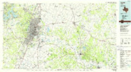
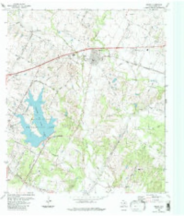
17 topographic sheets cover this place, the earliest surveyed in 1896 and the latest in 1988. It stands in the Austin census division. It lies in ZIP code area 78653. The Survey maps it on the Manor quadrangle. 13,652 people lived here at the 2020 count. It stands 531 feet above sea level.
Population over time
2 figuresManor grew from 5,037 to 13,652 between 2010 and 2020. These are the recorded population figures Wikidata holds for this place, reached through the Geographic Names Information System number this page is keyed on rather than by name, so they belong to this place and not to another of the same name. Most are census counts, but not all are: an early figure may be a founding or settlement estimate, and an estimate published within five years of a census is left out. The change column is computed, and is left blank where more than 20 years separate a figure from the one before it, because a gap that long is not a change between two counts.
| Year | People | Change |
|---|---|---|
| 2010 | 5,037 | |
| 2020 | 13,652 | +8,615 (+171%) |
Topographic sheets covering this place
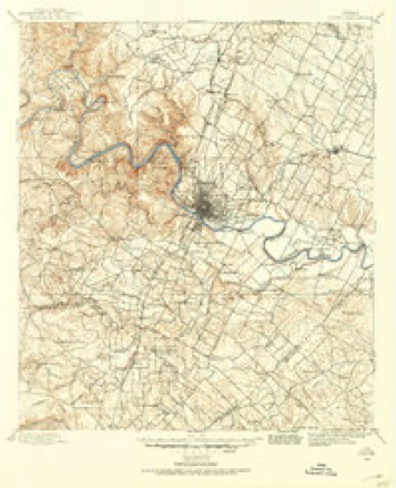
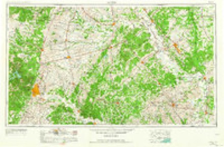
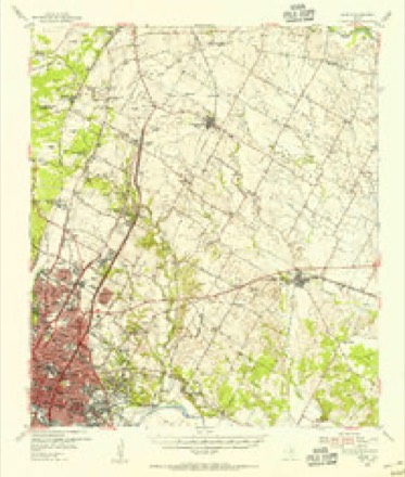
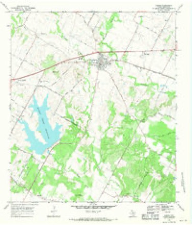
8 surveys from 17 printed sheetsMatched by testing this settlement's coordinate against the published boundary of every sheet in the United States Geological Survey's historical collection. Each opens the scanned sheet at the Survey.
- 1896 USGS Austin quadrangle1:125000
- 1897 USGS Austin quadrangle1:125000
- 1910 USGS Austin quadrangle1:125000, 3 printings
- 1954 USGS Austin quadrangle1:250000, 4 printings
- 1955 USGS Austin quadrangle1:62500
- 1968 USGS Manor quadrangle1:24000, 3 printings
- 1985 USGS Austin quadrangle1:100000, 3 printings
- 1988 USGS Manor quadrangle1:24000


Fires near this place
42 since 1993Regional context, not property-specific evidence. The federal wildfire occurrence database lists 42 fires within 5 miles of Manor between 1993 and 2016, burning about 422 acres in total. None started naturally. None was recorded as arson. Distance is straight-line from the map coordinates, so a fire counted here may appear on a neighbouring settlement's page as well.
| Reported cause | Fires |
|---|---|
| Missing data/not specified/undetermined | 28 |
| Equipment and vehicle use | 5 |
| Debris and open burning | 4 |
| Smoking | 4 |
| Power generation/transmission/distribution | 1 |
The most recent of them, most recent first, with the day each was reported and the service that recorded it.
| Date | Cause | Size | Reported by | Name on the report |
|---|---|---|---|---|
| 4 September 2008 | Missing data/not specified/undetermined | 1.0 acres | Texas A & M Forest Service | not named |
| 8 August 2008 | Missing data/not specified/undetermined | 35 acres | Texas A & M Forest Service | not named |
| 20 August 2000 | Missing data/not specified/undetermined | 75 acres | Texas A & M Forest Service | SOUTH BRANCH - 28 |
| 12 August 2013 | Equipment and vehicle use | under an acre | Texas A & M Forest Service | DECKER LAKE |
| 1 August 2008 | Missing data/not specified/undetermined | 5.0 acres | Texas A & M Forest Service | not named |
| 7 July 2008 | Missing data/not specified/undetermined | 1.0 acres | Texas A & M Forest Service | not named |
| 7 July 2008 | Missing data/not specified/undetermined | 2.0 acres | Texas A & M Forest Service | not named |
| 5 July 2008 | Missing data/not specified/undetermined | 5.0 acres | Texas A & M Forest Service | not named |
Settlements close enough to share some of these fires:
Storms near this place
17 since 1993Regional context, not property-specific evidence. The National Weather Service names Manor in 17 storm reports between 1993 and 2024: 8 thunderstorm wind, 4 hail, 3 tornado, 1 lightning. The reports record 2 injuries. Each account below is quoted exactly as the forecast office filed it, from the NOAA Storm Events Database, and each date opens the federal record of that event.
| When | Event | Place named | Harm | What the report says |
|---|---|---|---|---|
| December 2002 | Tornado (F1) | Manor | 1 hurt, $200,000 | This tornado, rated F1, touched down 1 mile southeast of Manor shortly after 7 am, and moved northeastward to 5 miles northeast of Manor before dissipating. Rated as an F1, it damaged nearly a dozen homes and mobile homes and two businesses. It destroyed four mobile homes and overturned several vehicles as well. A young woman suffered a shoulder separation injury as the tornado blew over her mobile home. |
| August 1996 | Lightning | Manor | 1 hurt | no account filed |
| April 2024 | Tornado (EF1) | Manor | $5,000,000 | A National Weather Service damage survey team found damage to a building under construction near Hwy 290 and Toll Road 130. Minor damage was seen at the Ford dealership on Hwy 290 and to a gas station near the intersection of 290 and Manor Downs Rd. where a large billboard was blown over into the gas station parking lot. Tree and roof damage was also noted at the gas station along with minor damage to a few businesses at the Lexington St./Hwy 290 intersection. All of this damage along Hwy 290 was rated EF0. The small tornado either weakened or reformed just to the north of Hwy 290 in Shadowglen with fence and shingle damage found to houses on several neighborhood roads. One house had significant EF1 roof damage where winds looks to have peaked at 110 mph. The small tornado appears to have weakened again as it moved ENE into the Stonewater neighborhood. Multiple homes had a significant amount of shingles removed, fences damaged, trampolines tossed, and some tree damage. The tornado appears to have dissipated somewhere NE of the Stonewater area. |
| March 2005 | Tornado (F1) | Manor | $100,000 | An NWS survey showed that the general area from near the town of Manor, across the community of Littig, to approximately 4 miles southwest of Elgin had been struck by a combination of severe thunderstorm winds, rain and hail. In addition, a narrow corridor of spotty and more intense damage to homes, trees and buildings suggested that a tornado had struck near 9:50 pm on Balderstadt Road about 1 mile northwest of Littig. The conclusion was supported by the fact that debris in a small confined area of homes as well as mobile homes and outbuildings was scattered in all four cardinal directions, indicating it could not have been part of a downburst. The path length in this touchdown would have been less than a quarter mile. The damage was rated F0.From that point eastward, through the community of Littig to near Elgin, the damage was general widespread and had been laid down in a single direction toward the east. This was the same direction in which the supercell storm was moving. However, damage in the east part of Littig was again concentrated with the debris laid down in many different directions. Many of the Littig residents reported that the high winds struck and then was followed by the "sound of a freight train." One resident reported that his ears popped just in advance of the worst damage. These reports, along with the shape and nature of damage indicated that part of the damage in the east section of Littig was due to a second touchdown of the same tornado. This location would be about 1 mile east of the first touchdown. The time of the strike is estimated as 2156 CST. The tornado continued on the ground for approximately one half mile where it struck a mobile home along its side, rolled it into a second mobile home, destroying the first mobile home. Evidence showed that the first mobile home had actually been tied down with straps, but that the straps had not prevented it being moved. The straps were still in place and anchored in spite of the fact that the mobile home was gone. Remnants of the first mobile home appear to have prevented major damage to the second mobile home. This damage was rated as F1. In all, it was miraculous that so many large pieces of tin, wood and metal had been ripped from homes and structures and thrown around the area, driven into the ground, wrapped around trees and poles, and yet not a single injury. |
| June 2019 | Thunderstorm Wind | Manor | $10,000 | Travis County Emergency Management reported a roof blown off a residence due to high thunderstorm winds. |
| April 2011 | Thunderstorm Wind | Manor | $500 | A thunderstorm produced a wind gust estimated at 58 mph which blew down a 15 foot section of a sturdy wooden fence and a couple of five inch diameter tree branches. |
| May 2020 | Hail | Manor | - | A thunderstorm produced quarter size hail in Manor. This report came from mPING. |
| June 2019 | Thunderstorm Wind | Manor | - | A thunderstorm produced wind gusts estimated at 70 kts. in Manor. |
| June 2019 | Thunderstorm Wind | Manor | - | A thunderstorm produced wind gusts estimated at 70 mph near Tower Rd. and Bois D'Arc Rd. in Manor. |
| May 2017 | Thunderstorm Wind | Manor | - | A thunderstorm produced wind gusts estimated at 60 mph that knocked down small tree limbs in Manor. This storm also produced penny size hail. |
| May 2017 | Hail | Manor | - | A thunderstorm produced penny size hail and wind gusts estimated at 60 mph in Manor. |
| April 2016 | Thunderstorm Wind | Manor | - | A thunderstorm produced wind gusts estimated at 70 mph that drove a trampoline frame through the exterior composite panel siding of a house. |
| August 2016 | Flash Flood | Manor | - | Thunderstorms produced heavy rain that caused flash flooding closing the Hwy 130 access road at Bloor Rd. near the Walter E. Long Metropolitan Park. |
| June 2008 | Hail | Manor | - | Public reported nickel size hail at the Shadowglen golf course. |
| March 2005 | Hail | Manor | - | Hail up to an inch in diameter was deposited east of Manor in drifts 3 to 6 inches deep. |
| July 2005 | Thunderstorm Wind | Manor | - | Thunderstorms forming along the northern Texas Hill Country in the late afternoon moved southward into the evening hours. The storms blew down trees just northwest of Manor. Also a small out-building was blown down. |
| May 1993 | Thunderstorm Wind | Manor | - | ,Wind gusts to 65 MPH were reported by HAM Radio operators in Manor. |
Nearest settlements
The eight closest, with where each one stands in the county. Distances are straight-line, computed from the Geographic Names Information System coordinates.
Elsewhere
Matched on this settlement's Geographic Names Information System number rather than its name, so it cannot be a different place of the same name in another state.
| Wikipedia article on Manor | An encyclopaedic summary. Its text is share-alike, so it is linked here rather than copied. |
| Wikidata item Q973072 | The structured record the population and elevation above come from. Public domain (CC0). |
Provenance
This settlement is recorded in the Geographic Names Information System as feature 1340895. The sheet list is computed by point-in-boundary test against the United States Geological Survey's historical topographic inventory. Both are works of the United States government and carry no copyright under 17 U.S.C. 105.
Wildfire. Short, Karen C. 2022. Spatial wildfire occurrence data for the United States, 1992-2020 [FPA_FOD_20221014]. 6th Edition. Fort Collins, CO: Forest Service Research Data Archive. https://doi.org/10.2737/RDS-2013-0009.6 Collected with United States Government funding and usable without additional permissions or fees.
Storms. NOAA National Centers for Environmental Information, Storm Events Database https://www.ncei.noaa.gov/stormevents/ A work of the United States government, no copyright under 17 U.S.C. 105. Narratives are quoted verbatim from the National Weather Service report and are not edited or summarised.