 Block
BlockMarble Falls, Texas
19 topographic sheets cover this place, the earliest surveyed in 1887 and the latest in 1992. It stands in the Marble Falls census division. It lies in ZIP code area 78654. It stands on Whitman Branch. The Survey maps it on the Marble Falls quadrangle. 7,037 people lived here at the 2020 count. It stands 823 feet above sea level.
On record in Marble Falls
Buildings and businesses the archive holds for this place. Each opens its own page, with the source record it came from.
On the National Register 1 record
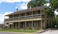 Roper Hotellisted 1980
Population over time
2 figuresMarble Falls grew from 6,077 to 7,037 between 2010 and 2020. These are the recorded population figures Wikidata holds for this place, reached through the Geographic Names Information System number this page is keyed on rather than by name, so they belong to this place and not to another of the same name. Most are census counts, but not all are: an early figure may be a founding or settlement estimate, and an estimate published within five years of a census is left out. The change column is computed, and is left blank where more than 20 years separate a figure from the one before it, because a gap that long is not a change between two counts.
| Year | People | Change |
|---|---|---|
| 2010 | 6,077 | |
| 2020 | 7,037 | +960 (+16%) |
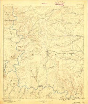
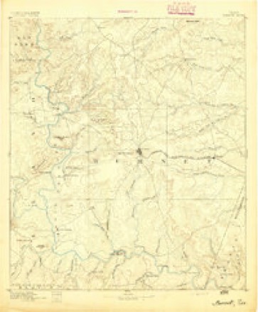
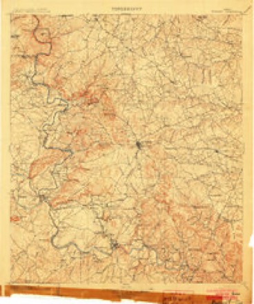
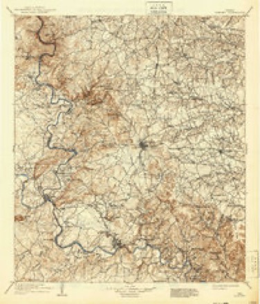
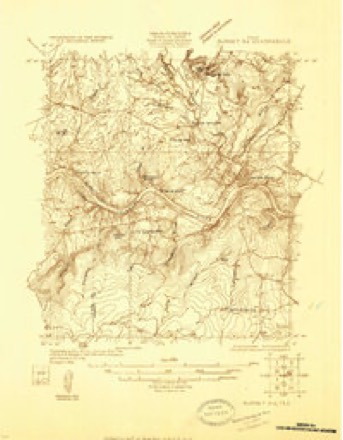
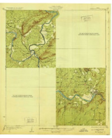
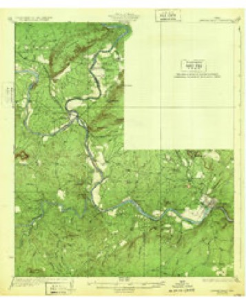
Topographic sheets covering this place
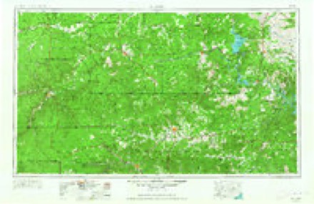
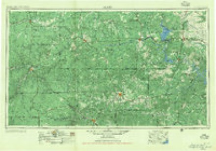
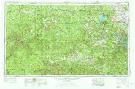
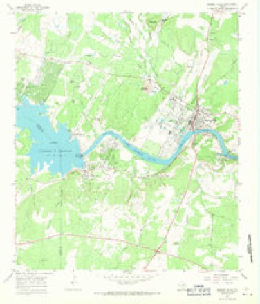
13 surveys from 19 printed sheetsMatched by testing this settlement's coordinate against the published boundary of every sheet in the United States Geological Survey's historical collection. Each opens the scanned sheet at the Survey.
- 1887 USGS Burnet quadrangle1:125000
- 1893 USGS Burnet quadrangle1:125000
- 1903 USGS Burnet quadrangle1:125000
- 1909 USGS Burnet quadrangle1:125000, 3 printings
- 1925 USGS Burnet 3-d quadrangle1:48000
- 1929 USGS Marble Falls quadrangle1:62500
- 1932 USGS Marble Falls quadrangle1:62500, 2 printings
- 1954 USGS Llano quadrangle1:250000, 2 printings
- 1955 USGS Llano quadrangle1:250000
- 1956 USGS Llano quadrangle1:250000
- 1967 USGS Marble Falls quadrangle1:24000, 2 printings
- 1985 USGS Llano quadrangle1:100000
- 1992 USGS Llano quadrangle1:100000, 2 printings
Photographs
5 photographs, 2014Taken for the Office of War Information and the Farm Security Administration, who photographed the country between 1935 and 1944. Works of United States government photographers, with no known restriction on use. Each opens its catalogue record.
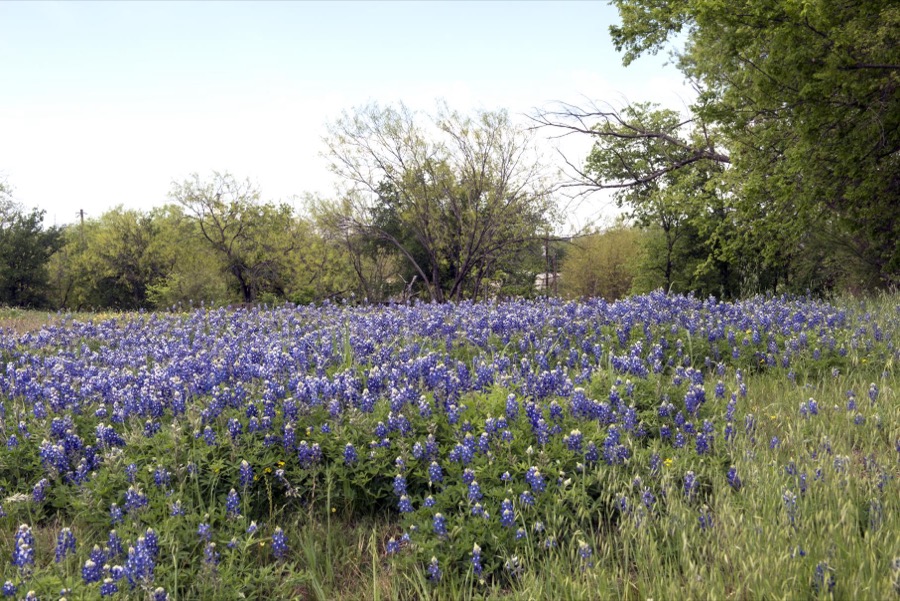
Highsmith, Carol M, 2014. Library of Congress

Highsmith, Carol M, 2014. Library of Congress
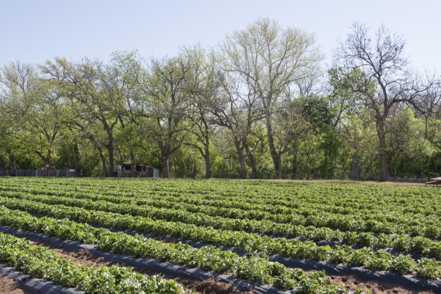
Highsmith, Carol M, 2014. Library of Congress

Highsmith, Carol M, 2014. Library of Congress

Highsmith, Carol M, 2014. Library of Congress
Fires near this place
155 since 2004Regional context, not property-specific evidence. The federal wildfire occurrence database lists 155 fires within 5 miles of Marble Falls between 2004 and 2020, burning about 1,662 acres in total. 3 started naturally. 4 were recorded as arson. Distance is straight-line from the map coordinates, so a fire counted here may appear on a neighbouring settlement's page as well.
| Reported cause | Fires |
|---|---|
| Debris and open burning | 80 |
| Missing data/not specified/undetermined | 35 |
| Equipment and vehicle use | 16 |
| Power generation/transmission/distribution | 7 |
| Smoking | 5 |
| Arson/incendiarism | 4 |
| Natural | 3 |
| Recreation and ceremony | 3 |
| Other causes | 1 |
| Railroad operations and maintenance | 1 |
The most recent of them, most recent first, with the day each was reported and the service that recorded it.
| Date | Cause | Size | Reported by | Name on the report |
|---|---|---|---|---|
| 6 September 2019 | Debris and open burning | under an acre | Texas A & M Forest Service | 19455 |
| 5 September 2019 | Missing data/not specified/undetermined | under an acre | Texas A & M Forest Service | 19452 |
| 4 September 2019 | Missing data/not specified/undetermined | under an acre | Texas A & M Forest Service | 19448 |
| 4 September 2011 | Missing data/not specified/undetermined | 40 acres | Texas A & M Forest Service | CIMMERON RANCH |
| 3 September 2019 | Power generation/transmission/distribution | 5.0 acres | Texas A & M Forest Service | EAST 1431 |
| 29 September 2011 | Equipment and vehicle use | 1.5 acres | Texas A & M Forest Service | CHEMICAL LIME |
| 27 September 2010 | Debris and open burning | 1.0 acres | Texas A & M Forest Service | FM 1980 |
| 26 September 2011 | Natural | under an acre | Texas A & M Forest Service | TOKIM RD |
Settlements close enough to share some of these fires:
Mines and quarries near this place
10 of 22 shownRegional context, not property-specific evidence. The federal mineral resources record lists 22 workings within 5 miles of Marble Falls: 17 producers, 2 occurrences, 2 past producers, 1 prospect. 17 still produce. What was taken out: Stone, Crushed/Broken, Stone, Dimension, Limestone, High Calcium, Limestone, General, Stone, Crushed/Broken. Distance is straight-line from the map coordinates, so a quarry counted here may appear on a neighbouring settlement's page as well.
| Where | Site | Commodity | Status | Recorded |
|---|---|---|---|---|
| Calcium Carbonate Company Pit | Calcium | Prospect | ||
| Collier Bros Sand and Gravel Pit | Sand and Gravel, Construction | Producer | ||
| Granite Mountain | Bromine | Producer | ||
| Limestone Quarry | Limestone, General, Stone, Crushed/Broken | Producer | ||
| Michel Mine | Limestone, High Calcium | Producer | Limestone | |
| Phosphate Occurrence | Phosphorus-Phosphates | Occurrence | ||
| Slaughter Gap Area | Lead | Occurrence | ||
| Sunset Beige Quarry | Stone, Dimension | Producer | Granite | |
| Sunset Red Quarry | Stone, Dimension | Producer | Granite | |
| Bilbrough Marble Botticino Quarry | Stone, Crushed/Broken | Producer |
Storms near this place
47 since 1993Regional context, not property-specific evidence. The National Weather Service names Marble Falls in 47 storm reports between 1993 and 2025: 19 hail, 14 thunderstorm wind, 11 flash flood, 2 tornado. The reports record 3 deaths and 1 injury. Each account below is quoted exactly as the forecast office filed it, from the NOAA Storm Events Database, and each date opens the federal record of that event.
| When | Event | Place named | Harm | What the report says |
|---|---|---|---|---|
| June 2007 | Flash Flood | Marble Falls | 2 killed, $137,000,000 | Two lines of thunderstorms, one moving south from the Dallas area and one moving southeast from the Abilene area, intersected and stalled near Marble Falls, producing a sustained heavy rainfall over Burnet County from just before midnight into the early and mid morning hours. General rainfall over the southern half of Burnet County was between 10 and 15 inches with the highest rain totals in the Marble Falls area, where up to 19 inches fell. The hardest hit area was Marble Falls, where more than 315 homes and businesses were damaged or destroyed. The worst of the damage occurred along Whitman Branch Creek. This included businesses and even a day care facility. Personnel from Texas Military Forces were mobilized and sent into Marble Falls to help with rescues and evacuations. The military personnel, along with swift water rescue and other first responders, completed 32 high water rescues and evacuated hundreds of residents. Shelters were set up at the Marble Falls Middle School. At least eight bridges in Burnet County were destroyed with some amount of damage to nearly every road and structure in the southern half of the county. Most roads remained closed all day, but a few were re-opened in the late afternoon. Cars and vans were strewn all up and down US281 in the Marble Falls area. Nearly all parks and lakes were closed. Businesses in Marble Falls were also closed. Drinking water in Marble Falls was contaminated by the flood and over 1000 residents were without water for at least a week. Total estimates of the damages were placed at $130,000,000. One swift water rescue team member was forced to save himself when his vehicle was washed off SH71 near Double Horn Creek. He was able to get to dry land after a prolonged struggle. A couple in Marble Falls awoke to find their home flooded and with the water rising rapidly. They scrambled to the highest point in the one-story house as the water continued to rise. Finally, they had to use a shotgun to blast holes in the ceiling so they could break through to climb up on the roof. They waited with their two dogs on the roof in the dark for 2 hours, then were able to climb down and take shelter in a barn as the water receded slightly. They waited for an additional 12 hours until they were finally rescued by boat. Two young men were attempting to drive from a home in Marble Falls to Leander via FM 1431 sometime in the early morning hours of June 27 when their jeep was swept into high water east of Marble Falls. The vehicle was located a few days later in a creek about 10 miles east of Marble Falls. The body of one of the young men was recovered several days later but the remains of the other young man have not been found. |
| July 2025 | Flash Flood | Marble Falls | 1 killed | Heavy rain from slow-moving thunderstorms fell into the Hamilton Creek watershed contributing to a rapid rise of the creek that moved downstream near Marble Falls into the Colorado River. While only 1 to 2 inches of rain fell over Marble Falls, a swath of over 10 inches of rain occurred within the watershed upstream. An LCRA stream gauge on Hamilton Creek near Marble Falls measured a rise of 18.65 ft in about 90 minutes with 49,970 cfs before the gauge stopped reporting data. Widespread inundation and downing of trees occurred along the Hamilton Creek, with the extent of inundation at times nearly 1/3 mile across near FM 1431. The CR 341 crossing along Hamilton Creek was completely washed out on both approaches, leaving only a significantly damaged central concrete segment. The south approach to the CR 340/Mormon Hill Rd crossing was scoured out by floodwaters. Several homes were flooded along Hamilton Creek Rd. farther downstream of the CR 341 crossing. The Cedar Stays RV Park, located along the creek near FM 1431, saw major impacts. About 50 RVs were parked there overnight. All RVs were impacted by flooding and most were total losses. RVs closest to the creek experienced nearly 10 ft of inundation. RVs and other vehicles were swept into trees and the surrounding vegetation. Residents awoke to water entering their vehicles and climbed atop their RVs and the roof of the RV park office to avoid floodwaters and be rescued. Helicopters and boats were dispatched to aid water rescues. A 79-year-old male resident of the park died in the flooding. Hamilton Creek floodwaters overtopped the FM 1431 bridge, damaging the guardrail and washing out part of the crossing. |
| May 1994 | Tornado (F3) | Marble Falls | 1 hurt, $5,000,000 | The storm approached the city from the west-southwest. There were unconfirmed reports of funnels in the Horseshoe Bay area, four miles southwest of Marble Falls, before the storm arrived. Spotty damage was reported to roofs in the Horseshoe Bay area. The tornado first struck the west side of the city, crossing a heavy commercialized and residential area. Roofs were severely damaged at this time with several structures sustaining F1 and F2 damage. Several boats at a dealership were tossed on top of each other. Two-by-four's were embedded into the side of a church preschool care center, penetrating an inside classroom wall by four to five feet. Fortunately, all children had been moved into hallways just before the tornado arrived. Numerous commerical signs were down with widespread roof damage. This damage became even more extensive as the tornado moved across the northern part of the city. Marble Falls primary school also sustained damage, but students had been evacuated to the main school. Trees were uprooted on the school grounds and damage was reported to outbuildings. Metal I-beams were bent at a nearby metal building, indicating F2 to F3 damage. Three nearby semi-tractor trailer delivery trucks and a bread delivery truck were overturned. Two of these trucks were reported to have been lifted "two to three feet off of the ground" as they were overturned. At a nearby Wal-Mart department store 100 to 200 employees had taken shelter, having practiced their severe weather drill the day before. The store was hit and severely damaged, with the employees sustaining only a few minor injuries. Additional roof damage was reported at Marble Falls High School. Students had just executed a tornado drill as the storm struck. There was extensive peeling of metal from the auditorium and gymnasium roofs. In summary, over 440 homes sustained damage, with one house and 17 mobile homes destroyed and major damage to 36 homes. Eighteen businesses reported major damage with 47 others reporting minor damage. In addition, two bridges were damaged, along with severe damage to schools. In all, 512 structures sustained damage. |
| April 2024 | Hail | Marble Falls | $10,000,000 | A thunderstorm produced baseball size hail in Marble Falls. |
| March 1999 | Hail | Marble Falls | $700,000 | no account filed |
| September 2006 | Thunderstorm Wind | Marble Falls | $200,000 | Severe thunderstorms struck the area between Marble Falls and Spicewood, knocking over trees, phone lines, and power lines. The winds, estimated near 65 knots, also damaged roofs in both Marble Falls and in Spicewood. |
| June 2021 | Thunderstorm Wind | Marble Falls | $25,000 | There was widespread wind damage to mainly trees reported in southern Burnet County. An NWS damage survey concluded that a large swath of severe thunderstorm microburst winds moved south to southwest across the area from Lake Marble Falls to across East FM 2147 at around 9:50 PM CST. Roof damage to a barn was also reported. Large oak trees were blown down as well as other large limbs broken off numerous trees. Radar was showing winds in excess of 70 mph in that area, and based on the damage seen at ground level it appears that surface winds estimated at 75 mph likely occurred. Its plausible that a small tornado could have occurred in this area amongst the large microburst wind area, but a definite tornado path could not be found. |
| May 2000 | Thunderstorm Wind | Marble Falls | $20,000 | Severe thunderstorm winds knocked over trees. |
| November 1996 | Thunderstorm Wind | Marble Falls | $20,000 | no account filed |
| May 1999 | Thunderstorm Wind | Marble Falls | $10,000 | no account filed |
| June 2017 | Thunderstorm Wind | Marble Falls | $1,000 | A thunderstorm produced wind gusts estimated at 65 mph that snapped large tree branches in Marble Falls. |
| July 2025 | Flash Flood | Marble Falls | - | Slow-moving thunderstorms brought heavy rain to Burnet County for several hours. While only 1 to 2 inches of rain fell over Marble Falls, a swath of over 10 inches of rain occurred upstream in the watershed. An RV Park along Hamilton Creek in Marble Falls has at least four feet of water inundation and vehicles were floating. Residents were stranded. |
| April 2024 | Hail | Marble Falls | - | A thunderstorm produced baseball size hail southeast of Marble Falls. |
| April 2024 | Hail | Marble Falls | - | A thunderstorm produced 2.5 inch diameter hail three miles east of Marble Falls on FM 1431. |
| October 2018 | Flash Flood | Marble Falls | - | Thunderstorms produced heavy rain that led to flash flooding closing RM 2147 at Flatrock Creek outside of Marble Falls. |
| May 2016 | Flash Flood | Marble Falls | - | Thunderstorms produced heavy rain that caused flash flooding closing a few streets in Marble Falls including Broadway St., 9th St., 4th St., and 7th St. |
| November 2013 | Flash Flood | Marble Falls | - | Thunderstorms produced heavy rain that caused flash flooding closing several low water crossings in and around Marble Falls. |
| April 2013 | Hail | Marble Falls | - | A thunderstorm produced golf ball to baseball size hail near the intersection of Highways 71 and 281 south of Marble Falls. |
| March 2012 | Flash Flood | Marble Falls | - | Thunderstorms produced heavy rain that caused flash flooding of low water crossings closing FM2147 east of US281. |
| June 2007 | Flood | Marble Falls | - | Backbone Creek at Marble Falls crested at 19.7 feet at 0300cst on June 27, where 16 feet is flood stage. |
| July 2007 | Flash Flood | Marble Falls | - | Rainfall averaged from 2 to 3 inches between Marble Falls and Spicewood with isolated areas receiving up to 4 inches. Flash flooding developed quickly and continued into the evening. A volunteer firefighter was returning to Marble Falls from Austin when his car was washed off SH71 into Double Horn Creek. He was unable to summon help and had to save himself, which he did with great difficulty. |
| June 2007 | Flash Flood | Marble Falls | - | Thunderstorms over western Llano County and southern Burnet County produced 2 to 3 inch rain totals, with up to 6 inches between Kingsland and Marble Falls. Most roads in southern Llano County were closed, including FM2147, FM1431 and US281. |
| March 2007 | Flash Flood | Marble Falls | - | Between 2 and 3 inches of rain fell in the afternoon and evening over northern Burnet County, with the highest totals near 4 inches in the Oatmeal area. FM2147 was closed, partly because of a rockslide that was caused by the flash flooding. |
| March 2007 | Flash Flood | Marble Falls | - | Thunderstorms in the early and mid afternoon produced between 3 and 4 inches of rain over northern Burnet County. Highest amounts were in the Okalla area where FM963 and FM2657 were closed due to high water. |
| June 2007 | Thunderstorm Wind | Marble Falls | - | Severe thunderstorms uprooted trees and damaged roofs in the Granite Shoals area. |
| April 2006 | Thunderstorm Wind | Marble Falls | - | Severe thunderstorm winds blew down power lines in Marble Falls. Power was out to much of the town for about 4 hours. |
| July 2005 | Thunderstorm Wind | Marble Falls | - | Thunderstorms forming along the northern Texas Hill Country in the late afternoon moved southward into the evening hours. South of Marble Falls, the storms became severe, blowing down trees. |
| August 2005 | Thunderstorm Wind | Marble Falls | - | Severe thunderstorm winds blew knocked down trees and damaged the roofs of homes just north of Granite Shoals. Some of the trees were blown over roads, causing traffic blocks. |
| November 2004 | Thunderstorm Wind | Marble Falls | - | The Burnet County Sheriff's department reported that severe thunderstorm winds had blown down several trees about 10 miles northwest of Marble Falls |
| May 2002 | Thunderstorm Wind | Marble Falls | - | Trees were blown down by severe thunderstorm winds. |
| April 1995 | Thunderstorm Wind | Marble Falls | - | Roofs of homes damaged by strong winds. Winds were reported gusting to just over 50 mph. The actual gust speed was measured by a school computer weather system. |
| March 1993 | Hail | Marble Falls | - | Quarter- to one-half-inch hail was reported in Marble Falls by a TV-36 Stormtracker. |
| April 2013 | Hail | Marble Falls | - | no account filed |
| April 2013 | Hail | Marble Falls | - | no account filed |
| April 2013 | Hail | Marble Falls | - | no account filed |
| April 2013 | Hail | Marble Falls | - | no account filed |
| April 2008 | Hail | Marble Falls | - | no account filed |
| June 2007 | Hail | Marble Falls | - | no account filed |
| April 2006 | Hail | Marble Falls | - | no account filed |
| April 2006 | Hail | Marble Falls | - | no account filed |
| May 2002 | Hail | Marble Falls | - | no account filed |
| May 2000 | Hail | Marble Falls | - | no account filed |
| March 1999 | Hail | Marble Falls | - | no account filed |
| March 1999 | Tornado (F0) | Marble Falls | - | no account filed |
| March 1998 | Hail | Marble Falls | - | no account filed |
| September 1996 | Hail | Marble Falls | - | no account filed |
| May 1995 | Thunderstorm Wind | Marble Falls | - | no account filed |
Nearest settlements
The eight closest, with where each one stands in the county. Distances are straight-line, computed from the Geographic Names Information System coordinates.
| Map | Place | Distance | Sheets |
|---|---|---|---|
| Meadowlakes | 1.7 miles | 19 | |
| Cottonwood Shores | 3.1 miles | 19 | |
| Fairland | 4.6 miles | 19 | |
| Sherwood Shores | 4.7 miles | 19 | |
| Scobee | 5.2 miles | 19 | |
| Sudduth | 5.6 miles | 19 | |
| Granite Shoals | 5.9 miles | 19 | |
| Double Horn | 6.4 miles | 16 |
Elsewhere
Matched on this settlement's Geographic Names Information System number rather than its name, so it cannot be a different place of the same name in another state.
| Wikipedia article on Marble Falls | An encyclopaedic summary. Its text is share-alike, so it is linked here rather than copied. |
| Wikidata item Q167183 | The structured record the population and elevation above come from. Public domain (CC0). |
Provenance
This settlement is recorded in the Geographic Names Information System as feature 1362162. The sheet list is computed by point-in-boundary test against the United States Geological Survey's historical topographic inventory. Both are works of the United States government and carry no copyright under 17 U.S.C. 105.
Wildfire. Short, Karen C. 2022. Spatial wildfire occurrence data for the United States, 1992-2020 [FPA_FOD_20221014]. 6th Edition. Fort Collins, CO: Forest Service Research Data Archive. https://doi.org/10.2737/RDS-2013-0009.6 Collected with United States Government funding and usable without additional permissions or fees.
Mines and quarries. USGS Mineral Resources Data System (MRDS) https://mrdata.usgs.gov/mrds/ A work of the United States government, no copyright under 17 U.S.C. 105.
Storms. NOAA National Centers for Environmental Information, Storm Events Database https://www.ncei.noaa.gov/stormevents/ A work of the United States government, no copyright under 17 U.S.C. 105. Narratives are quoted verbatim from the National Weather Service report and are not edited or summarised.