 Block
BlockMarshall Ford, Texas
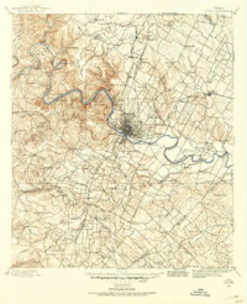
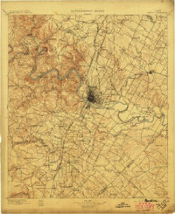
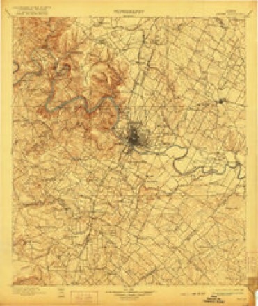
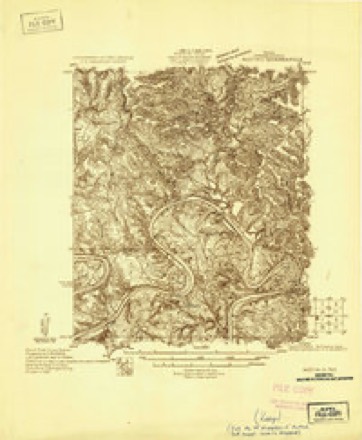
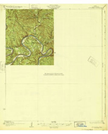
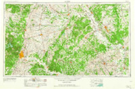
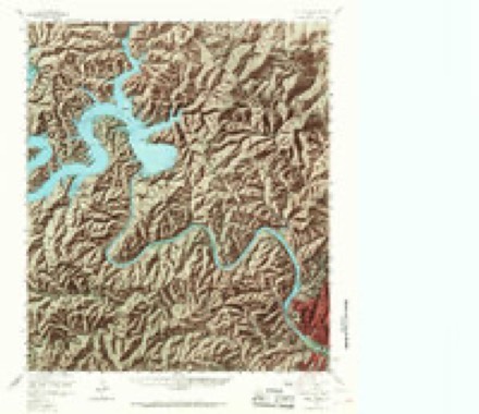
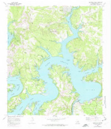
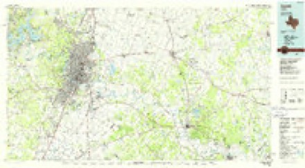
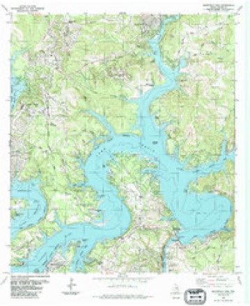
24 topographic sheets cover this place, the earliest surveyed in 1896 and the latest in 1986. It stands in the Northwest Travis census division. It lies in ZIP code area 78732. It lies near Defeat Hollow. The Survey maps it on the Mansfield Dam quadrangle.
Topographic sheets covering this place
10 surveys from 24 printed sheetsMatched by testing this settlement's coordinate against the published boundary of every sheet in the United States Geological Survey's historical collection. Each opens the scanned sheet at the Survey.
- 1896 USGS Austin quadrangle1:125000
- 1897 USGS Austin quadrangle1:125000
- 1910 USGS Austin quadrangle1:125000, 3 printings
- 1930 USGS Austin-2 quadrangle1:48000
- 1932 USGS Mt. Bonnell quadrangle1:62500, 2 printings
- 1954 USGS Austin quadrangle1:250000, 4 printings
- 1959 USGS Lake Travis quadrangle1:62500, 5 printings
- 1968 USGS Mansfield Dam quadrangle1:24000, 3 printings
- 1985 USGS Austin quadrangle1:100000, 3 printings
- 1986 USGS Mansfield Dam quadrangle1:24000
Fires near this place
21 since 2007Regional context, not property-specific evidence. The federal wildfire occurrence database lists 21 fires within 5 miles of Marshall Ford between 2007 and 2020, burning about 175 acres in total. None started naturally. None was recorded as arson. Distance is straight-line from the map coordinates, so a fire counted here may appear on a neighbouring settlement's page as well.
| Reported cause | Fires |
|---|---|
| Missing data/not specified/undetermined | 16 |
| Smoking | 2 |
| Misuse of fire by a minor | 1 |
| Debris and open burning | 1 |
| Equipment and vehicle use | 1 |
The most recent of them, most recent first, with the day each was reported and the service that recorded it.
| Date | Cause | Size | Reported by | Name on the report |
|---|---|---|---|---|
| 8 September 2011 | Missing data/not specified/undetermined | 1.0 acres | Texas A & M Forest Service | VILLAGE WEST |
| 6 September 2013 | Missing data/not specified/undetermined | under an acre | Balcones Canyon National Wildlife Refuge | BLONDIE FIRE |
| 4 September 2011 | Missing data/not specified/undetermined | 125 acres | Texas A & M Forest Service | STEINER RANCH FIRE |
| 3 September 2011 | Missing data/not specified/undetermined | 1.0 acres | Texas A & M Forest Service | STALLION |
| 12 September 2011 | Missing data/not specified/undetermined | 1.0 acres | Texas A & M Forest Service | COMMONS FORD ROAD |
| 16 August 2020 | Missing data/not specified/undetermined | 2.0 acres | Texas A & M Forest Service | 20200001672 |
| 13 August 2020 | Missing data/not specified/undetermined | 1.0 acres | Texas A & M Forest Service | 85991 |
| 4 July 2009 | Missing data/not specified/undetermined | under an acre | Texas A & M Forest Service | LIME CREEK RD |
Settlements close enough to share some of these fires:
Storms near this place
13 since 2009Regional context, not property-specific evidence. The National Weather Service names Marshall Ford in 13 storm reports between 2009 and 2024: 6 hail, 4 thunderstorm wind, 2 flash flood, 1 lightning. The reports record 2 deaths. Each account below is quoted exactly as the forecast office filed it, from the NOAA Storm Events Database, and each date opens the federal record of that event.
| When | Event | Place named | Harm | What the report says |
|---|---|---|---|---|
| September 2016 | Lightning | Marshall Ford | 1 killed | The Travis County Sheriff's Office reported that a woman was struck and killed by lightning in northwestern Austin. She was found dead on a hiking trail off of River Place Blvd. |
| September 2014 | Flash Flood | Marshall Ford | 1 killed | Thunderstorms produced heavy rain that caused flash flooding requiring a swift water rescue at Fritz Hughes Park. A Travis County Sheriffs Deputy was reported missing around 1 AM after she called in by radio that her patrol car was being swept away by fast moving water. The 35 year old Deputy had been on patrol checking a low water crossing near the 3400 block of Fritz Hughes Park Road near Lake Austin. Her car was recovered on Thursday and her body was finally found Friday afternoon. Lower Colorado River Authority Rain gauge network reported rains in the area that totaled nearly 4 inches in 30 minutes. |
| August 2009 | Thunderstorm Wind | Marshall Ford | $10,000 | Thunderstorm wind gusts, estimated at 50 knots, knocked down a 30 feet tall Maple tree with a 12 inch diameter trunk. The tree damaged a vehicle that it fell on. |
| April 2024 | Hail | Marshall Ford | - | A thunderstorm produced quarter size hail in the Steiner Ranch community in northwestern Austin. |
| April 2024 | Hail | Marshall Ford | - | A thunderstorm produced ping pong ball size hail in the Apache Shores neighborhood of northwestern Austin. |
| June 2019 | Thunderstorm Wind | Marshall Ford | - | A thunderstorm produced wind gusts measured at 61 kts. at Mansfield Dam. |
| April 2017 | Thunderstorm Wind | Marshall Ford | - | A thunderstorm produced wind gusts estimated at 80 mph that snapped a power pole in half near Hudson Bend Middle School. |
| April 2016 | Thunderstorm Wind | Marshall Ford | - | A thunderstorm produced wind gusts measured at 62 kts by a Davis Weather Station at the UT Lake Travis Test Station. |
| April 2015 | Hail | Marshall Ford | - | A trained spotter reported two inch diameter hail in the Steiner Ranch community near Lakeway. |
| May 2015 | Flash Flood | Marshall Ford | - | The 3500 block of Fritz Hughes Road was closed due to water over the roadway. |
| April 2020 | Hail | Marshall Ford | - | no account filed |
| June 2009 | Hail | Marshall Ford | - | no account filed |
| June 2009 | Hail | Marshall Ford | - | no account filed |
Nearest settlements
The eight closest, with where each one stands in the county. Distances are straight-line, computed from the Geographic Names Information System coordinates.
| Map | Place | Distance | Sheets |
|---|---|---|---|
| Steiner Ranch | 1.0 miles | 24 | |
| Four Points | 2.0 miles | 23 | |
| Hudson Bend | 2.8 miles | 24 | |
| Volente | 3.0 miles | 24 | |
| Buffalo Gap | 3.4 miles | 24 | |
| River Hills | 4.2 miles | 25 | |
| North Shore Acres | 4.2 miles | 24 | |
| Greenshores | 5.2 miles | 25 |
Elsewhere
Matched on this settlement's Geographic Names Information System number rather than its name, so it cannot be a different place of the same name in another state.
| Wikipedia article on Marshall Ford | An encyclopaedic summary. Its text is share-alike, so it is linked here rather than copied. |
| Wikidata item Q6773583 | The structured record the population and elevation above come from. Public domain (CC0). |
Provenance
This settlement is recorded in the Geographic Names Information System as feature 1362202. The sheet list is computed by point-in-boundary test against the United States Geological Survey's historical topographic inventory. Both are works of the United States government and carry no copyright under 17 U.S.C. 105.
Wildfire. Short, Karen C. 2022. Spatial wildfire occurrence data for the United States, 1992-2020 [FPA_FOD_20221014]. 6th Edition. Fort Collins, CO: Forest Service Research Data Archive. https://doi.org/10.2737/RDS-2013-0009.6 Collected with United States Government funding and usable without additional permissions or fees.
Storms. NOAA National Centers for Environmental Information, Storm Events Database https://www.ncei.noaa.gov/stormevents/ A work of the United States government, no copyright under 17 U.S.C. 105. Narratives are quoted verbatim from the National Weather Service report and are not edited or summarised.