 Block
BlockMings Chapel, Texas
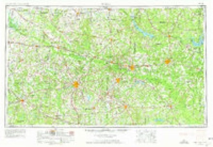
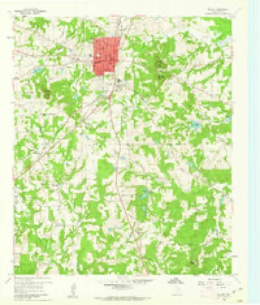
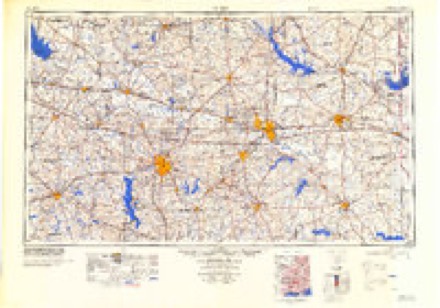
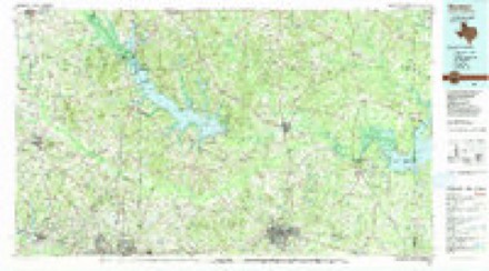
12 topographic sheets cover this place, the earliest surveyed in 1956 and the latest in 1986. It stands in the Big Sandy census division. It lies in ZIP code area 75645. It stands on Pond Creek. The Survey maps it on the Gilmer quadrangle.
Topographic sheets covering this place
4 surveys from 12 printed sheetsMatched by testing this settlement's coordinate against the published boundary of every sheet in the United States Geological Survey's historical collection. Each opens the scanned sheet at the Survey.
- 1956 USGS Tyler quadrangle1:250000, 5 printings
- 1960 USGS Gilmer quadrangle1:24000, 2 printings
- 1984 USGS Tyler quadrangle1:250000, 3 printings
- 1986 USGS Marshall quadrangle1:100000, 2 printings
Fires near this place
677 since 1992Regional context, not property-specific evidence. The federal wildfire occurrence database lists 677 fires within 5 miles of Mings Chapel between 1992 and 2020, burning about 2,167 acres in total. 16 started naturally. 18 were recorded as arson. Distance is straight-line from the map coordinates, so a fire counted here may appear on a neighbouring settlement's page as well.
| Reported cause | Fires |
|---|---|
| Debris and open burning | 399 |
| Missing data/not specified/undetermined | 152 |
| Equipment and vehicle use | 35 |
| Power generation/transmission/distribution | 30 |
| Arson/incendiarism | 18 |
| Natural | 16 |
| Railroad operations and maintenance | 8 |
| Smoking | 5 |
| Misuse of fire by a minor | 5 |
| Recreation and ceremony | 4 |
| Fireworks | 4 |
| Other causes | 1 |
The most recent of them, most recent first, with the day each was reported and the service that recorded it.
| Date | Cause | Size | Reported by | Name on the report |
|---|---|---|---|---|
| 9 September 2019 | Missing data/not specified/undetermined | 1.0 acres | Texas A & M Forest Service | 190328 |
| 9 September 2003 | Debris and open burning | 5.0 acres | Texas A & M Forest Service | LINDEN - 230 |
| 8 September 2013 | Missing data/not specified/undetermined | 3.0 acres | Texas A & M Forest Service | 13-0274 |
| 7 September 2017 | Equipment and vehicle use | 3.0 acres | Texas A & M Forest Service | 3 |
| 7 September 2014 | Power generation/transmission/distribution | 1.0 acres | Texas A & M Forest Service | 201409071 |
| 7 September 2013 | Fireworks | 4.0 acres | Texas A & M Forest Service | 6292 |
| 7 September 2011 | Missing data/not specified/undetermined | under an acre | Texas A & M Forest Service | 1289 IRONWOOD |
| 6 September 2011 | Arson/incendiarism | 1.0 acres | Texas A & M Forest Service | 203 |
Settlements close enough to share some of these fires:
Storms near this place
1 since 2022Regional context, not property-specific evidence. The National Weather Service names Mings Chapel in 1 storm report in 2022: 1 tornado. The reports record 7 injuries. Each account below is quoted exactly as the forecast office filed it, from the NOAA Storm Events Database, and each date opens the federal record of that event.
| When | Event | Place named | Harm | What the report says |
|---|---|---|---|---|
| March 2022 | Tornado (EF2) | Mings Chapel | 7 hurt, $2,200,000 | An EF-2 tornado touched down off of FM 2685 and Pomegranate Road where it began to sporadically uproot hardwood and softwood trees. The tornado began to intensify and develop a widespread damage swath of uprooted and snapped trees as it approached Highway 271 several miles south of Gilmer. Prior to reaching Highway 271, the tornado ripped the roof off of a single family home and tore down a wall of the home. As the tornado continued on, it reached its maximum width of 700 yards or 0.4 miles as it crossed Highway 700. The tornado intensified further as it crossed Azalea Road and Highway 154. Just before reaching this road, the tornado hit a two-story single family home, removing the home's second floor and tearing down a front exterior wall. This led to the tornado's estimated maximum wind speed of 135 mph, the strongest EF-2 rating on the Enhanced Fujita Scale. A nearby mobile home was also destroyed, with an occupant injured. ||The tornado continued to track northeast and ripped off a roof of a single family home, and completely destroyed one double-wide and multiple single-wide manufactured homes. The tornado also led to structural damage to several two-story family homes with portions of the roofs removed and a projectile leading to a large hole in the side of a home. A guest house that had a frame nailed into the ground was wiped clean from its foundation with its occupant hospitalized. ||As the tornado continued to track northeast, it led to more structural damage to single family homes and complete destruction to manufactured homes between Gilmer and Ore City. On at least three occasions, manufactured homes had residents inside of them when they were picked up and thrown by the tornado. Additional widespread tree and roof damage to homes continued as the tornado approached Lake O' the Pines. Before crossing the lake into Western Marion County, the tornado ripped the roof off of the Lake O' the Pines Bait Shop before throwing multiple RV's and a motor home into the lake. Four occupants in these RV's were injured but were rescued from the lake. |
Nearest settlements
The eight closest, with where each one stands in the county. Distances are straight-line, computed from the Geographic Names Information System coordinates.
| Map | Place | Distance | Sheets |
|---|---|---|---|
| Pattonfield | 2.0 miles | 12 | |
| West Mountain | 3.2 miles | 12 | |
| Piedmont | 3.2 miles | 12 | |
| Pritchett | 3.5 miles | 13 | |
| Center Point | 4.0 miles | 13 | |
| Phillips | 4.5 miles | 12 | |
| Union Grove | 5.4 miles | 12 | |
| Enoch | 5.7 miles | 12 |
Elsewhere
Matched on this settlement's Geographic Names Information System number rather than its name, so it cannot be a different place of the same name in another state.
| Wikidata item Q122556947 | The structured record the population and elevation above come from. Public domain (CC0). |
Provenance
This settlement is recorded in the Geographic Names Information System as feature 2034755. The sheet list is computed by point-in-boundary test against the United States Geological Survey's historical topographic inventory. Both are works of the United States government and carry no copyright under 17 U.S.C. 105.
Wildfire. Short, Karen C. 2022. Spatial wildfire occurrence data for the United States, 1992-2020 [FPA_FOD_20221014]. 6th Edition. Fort Collins, CO: Forest Service Research Data Archive. https://doi.org/10.2737/RDS-2013-0009.6 Collected with United States Government funding and usable without additional permissions or fees.
Storms. NOAA National Centers for Environmental Information, Storm Events Database https://www.ncei.noaa.gov/stormevents/ A work of the United States government, no copyright under 17 U.S.C. 105. Narratives are quoted verbatim from the National Weather Service report and are not edited or summarised.