 Block
BlockFrom the record
2 National Register listings published here.
Sources: the National Register database, National Park Service
50 topographic sheets cover 54 settlements here, and 2 properties are on the National Register of Historic Places.
2 National Register listings published here.
Sources: the National Register database, National Park Service
Every property in this county listed on the National Register of Historic Places, with the year it was listed and the federal nomination document.
| Photograph | Property | Type | Listed | Reference |
|---|---|---|---|---|
 | John and Eva O'Bryne House | building | 2005 | 05000383 |
 | Upshur County Courthouse | building | 2012 | 12000290 |
Drawn when these were printed as single large sheets: the town seen from the air, and the county divided into its farms with every owner named. Each opens the original at the Library of Congress.

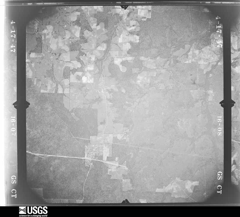
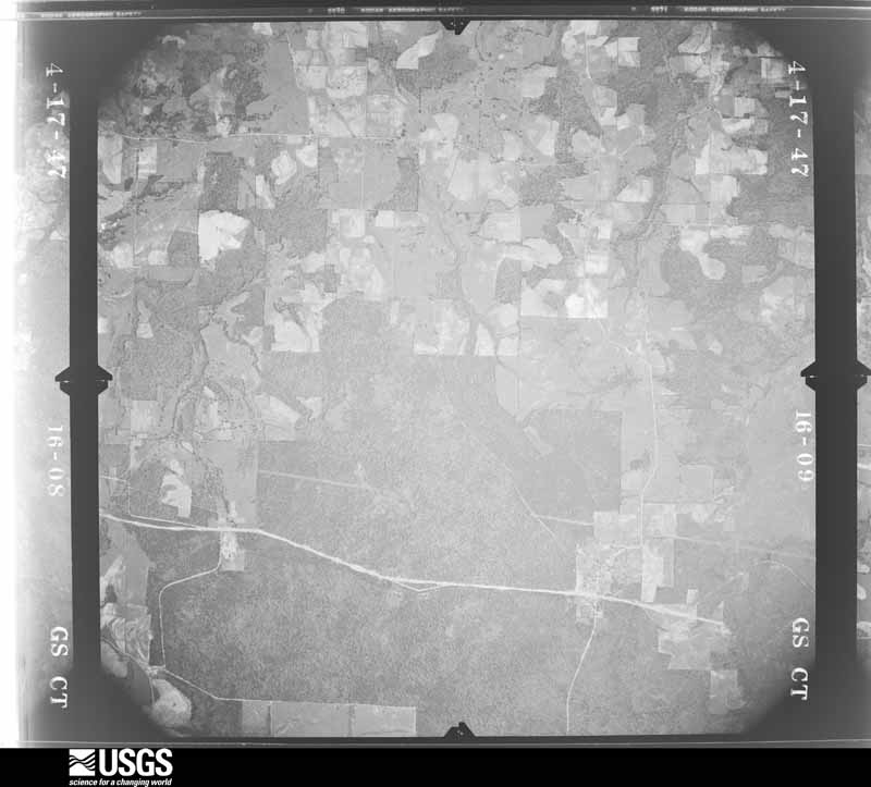
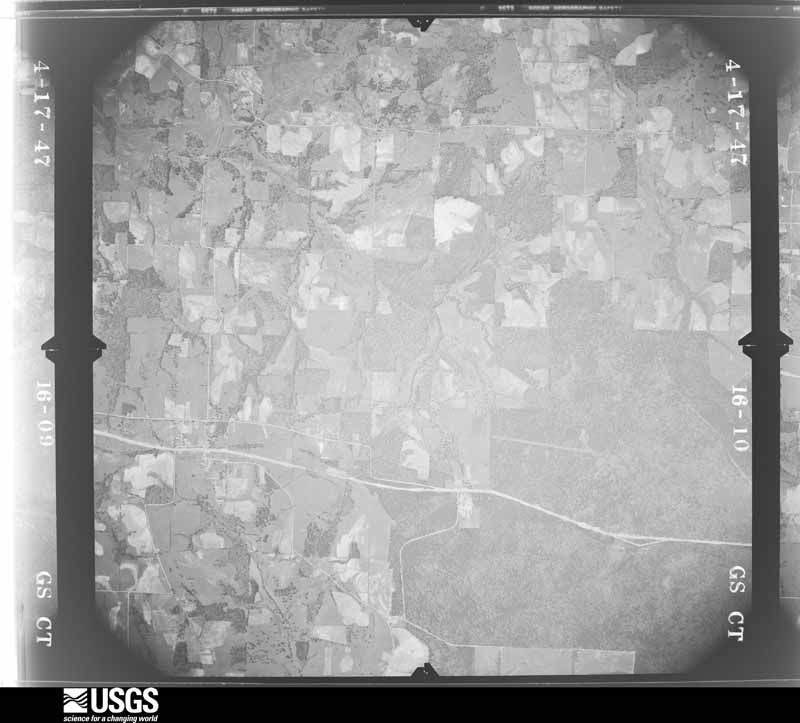
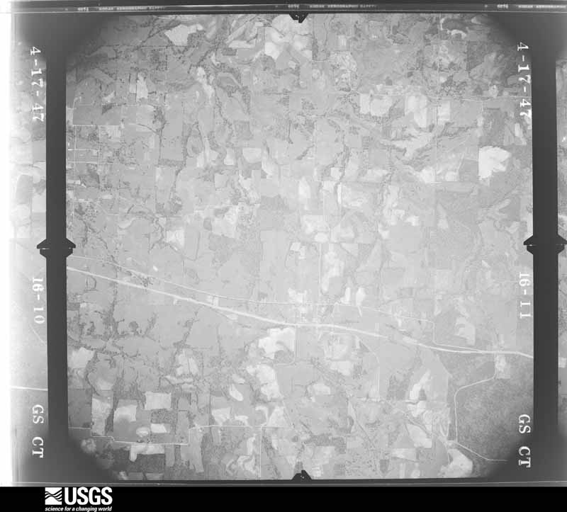
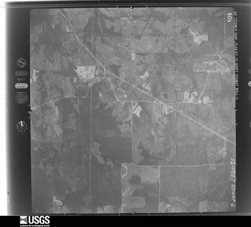
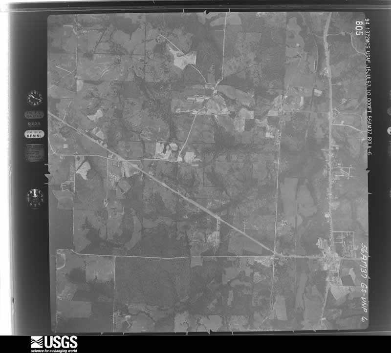
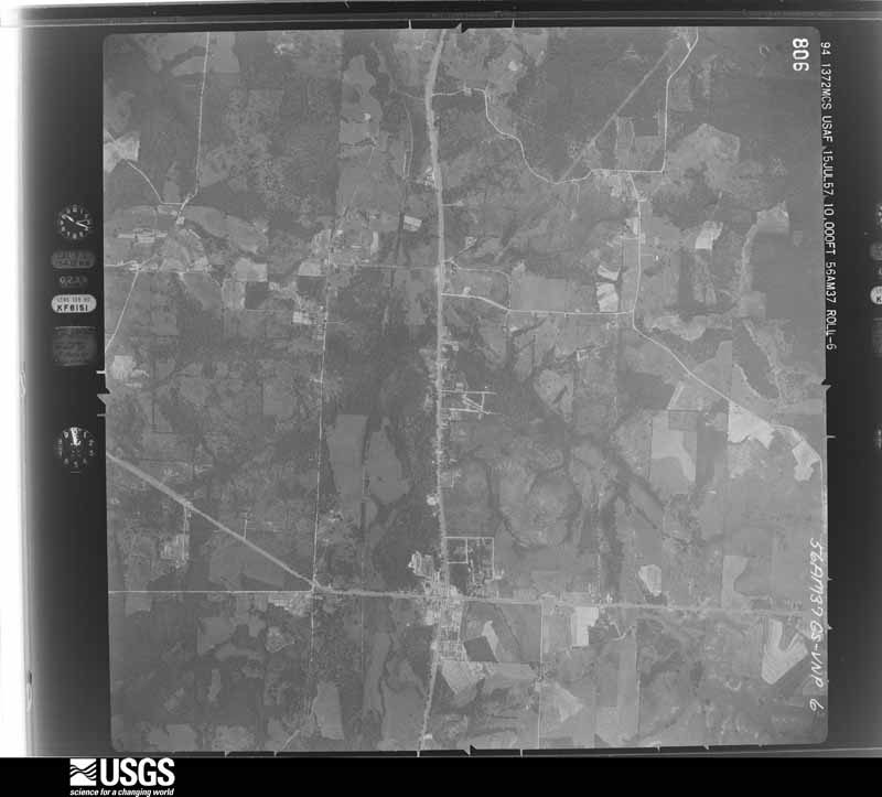
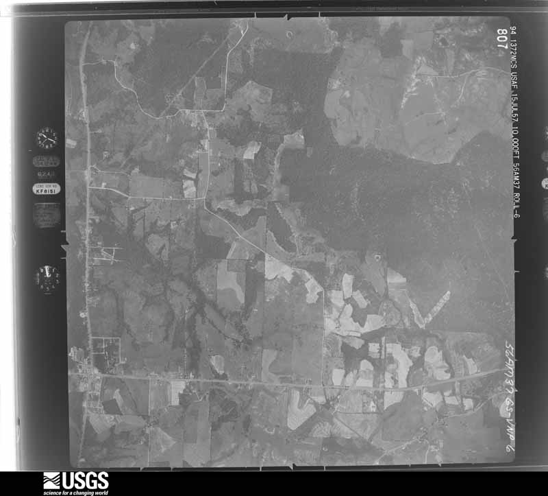
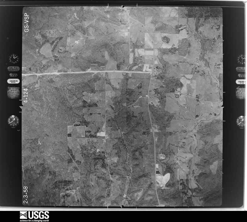
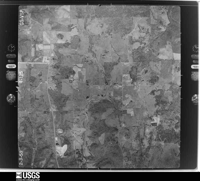
Flown by the U.S. Geological Survey between 1937 and 1989, the Aerial Photo Single Frames collection is the definitive mid-century view of the land: fields, roads and rivers as the camera saw them. The Survey holds 1,038 frames inside the rectangle that bounds this county; the 24 frames below were taken over the county itself, chosen across the decades of flights (at most four a year from that rectangle), so one flight cannot crowd out the rest. The full set is free to browse and download at EarthExplorer under the dataset Aerial Photo Single Frames.














The thermometers that kept this county's weather, and the gages that measured the flow of its streams, as the federal records hold them. The extremes below are measured values from those records, not estimates.
Who lived here in 1950, one enumeration district at a time, as the Census Bureau described each district. Each row opens its official National Archives result, with Population Schedules and ED Maps available there.
Every wildfire the federal occurrence database records inside this county: 3,630 of them, burning about 17,699 acres. 96 started naturally and 130 were recorded as arson. Each settlement page carries the fires within five miles of it.
| Reported cause | Fires |
|---|---|
| Debris and open burning | 2320 |
| Missing data/not specified/undetermined | 644 |
| Equipment and vehicle use | 164 |
| Arson/incendiarism | 130 |
| Power generation/transmission/distribution | 130 |
| Natural | 96 |
| Smoking | 52 |
| Recreation and ceremony | 32 |
| Misuse of fire by a minor | 26 |
| Railroad operations and maintenance | 21 |
| Fireworks | 10 |
| Other causes | 5 |
The five largest, by the area the report gives. Three of them were set deliberately.
| Date | Cause | Size | Reported by | Name on the report |
|---|---|---|---|---|
| 4 September 2011 | Missing data/not specified/undetermined | 2,324 acres | Texas A & M Forest Service | DIANA FIRE |
| 4 September 2011 | Missing data/not specified/undetermined | 511 acres | Texas A & M Forest Service | CLEMATIS FIRE |
| 14 September 2011 | Debris and open burning | 400 acres | Texas A & M Forest Service | 113_11 |
| 5 September 2011 | Arson/incendiarism | 388 acres | Texas A & M Forest Service | TOAD RD. FIRE |
| 13 September 2011 | Power generation/transmission/distribution | 305 acres | Texas A & M Forest Service | RHONESBORO FIRE |
| 20 February 1996 | Arson/incendiarism | 230 acres | Texas A & M Forest Service | not named |
| 24 November 1995 | Arson/incendiarism | 180 acres | Texas A & M Forest Service | not named |
| 24 September 2002 | Missing data/not specified/undetermined | 150 acres | Texas A & M Forest Service | COYAL |
Every settlement page carries the fires within five miles of it - see the settlement index below.
The NOAA Storm Events Database holds 426 reports for this county, causing 2 deaths, 29 injuries and about $17,354,530 in recorded property damage. Each settlement page carries the reports that name it.
| Kind of event | Reports |
|---|---|
| Thunderstorm Wind | 214 |
| Hail | 139 |
| Flash Flood | 41 |
| Tornado | 27 |
| Lightning | 3 |
| Funnel Cloud | 2 |
The most serious of them, by death, then injury, then recorded damage. The accounts are quoted exactly as the forecast office filed them.
| When | Event | Place named | Harm | What the report says |
|---|---|---|---|---|
| May 2009 | Flash Flood | Thomas | 1 killed, $10,000 | A 78 year old man drowned when flood waters swept away hit automobile on a rural northwestern Upshur County Road. The man was found in his back seat on Fox Road. |
| April 2020 | Thunderstorm Wind | East Mtn | 1 killed | A large tree snapped and fell on a 60 year old male standing in his driveway, fatally injuring him. |
| April 1988 | Tornado (F3) | not stated | 9 hurt, $2,500,000 | no account filed |
| November 1987 | Tornado (F2) | not stated | 9 hurt, $2,500,000 | no account filed |
| March 2022 | Tornado (EF2) | Mings Chapel | 7 hurt, $2,200,000 | An EF-2 tornado touched down off of FM 2685 and Pomegranate Road where it began to sporadically uproot hardwood and softwood trees. The tornado began to intensify and develop a widespread damage swath of uprooted and snapped trees as it approached Highway 271 several miles south of Gilmer. Prior to reaching Highway 271, the tornado ripped the roof off of a single family home and tore down a wall of the home. As the tornado continued on, it reached its maximum width of 700 yards or 0.4 miles as it crossed Highway 700. The tornado intensified further as it crossed Azalea Road and Highway 154. Just before reaching this road, the tornado hit a two-story single family home, removing the home's second floor and tearing down a front exterior wall. This led to the tornado's estimated maximum wind speed of 135 mph, the strongest EF-2 rating on the Enhanced Fujita Scale. A nearby mobile home was also destroyed, with an occupant injured. ||The tornado continued to track northeast and ripped off a roof of a single family home, and completely destroyed one double-wide and multiple single-wide manufactured homes. The tornado also led to structural damage to several two-story family homes with portions of the roofs removed and a projectile leading to a large hole in the side of a home. A guest house that had a frame nailed into the ground was wiped clean from its foundation with its occupant hospitalized. ||As the tornado continued to track northeast, it led to more structural damage to single family homes and complete destruction to manufactured homes between Gilmer and Ore City. On at least three occasions, manufactured homes had residents inside of them when they were picked up and thrown by the tornado. Additional widespread tree and roof damage to homes continued as the tornado approached Lake O' the Pines. Before crossing the lake into Western Marion County, the tornado ripped the roof off of the Lake O' the Pines Bait Shop before throwing multiple RV's and a motor home into the lake. Four occupants in these RV's were injured but were rescued from the lake. |
| November 1994 | Thunderstorm Wind | Gilmer | 2 hurt, $5,000 | Mobile homes were damaged by high winds. There were two minor injuries. |
| January 1998 | Flash Flood | Gilmer | 1 hurt, $6,000 | A woman believed to be a newspaper carrier was trapped for 3 hours when her car was overtaken by floodwaters on Bobwhite Rd. She was rescued by Gilmer firefighters with only minor injuries reported. |
| July 2008 | Thunderstorm Wind | East Mtn | 1 hurt | Trees were downed in town...including one tree which fell on top of a woman on Yellow Throat Road just off of East Mountain Road. Injuries were considered serious on the scene. |
| November 1994 | Thunderstorm Wind | Ore City | $5,000,000 | Four homes were destroyed, 20 to 30 homes damaged, and numerous trees were downed across the county by high winds. Damage was estimated at $500,000. |
| January 1998 | Hail | Gilmer | $1,100,000 | Three automobile dealerships suffered considerable hail damage to their entire inventories of over 300 vehicles. The hail fell continuously for over 20 minutes. A 24 year veteran in insurance claims said that the hail episode was the second worse he had ever seen in north Texas. |
| October 2014 | Tornado (EF1) | Enon | $1,000,000 | An National Weather Storm Survey team determined that the damage in Upshur County, Texas was consistent with that of a tornado. An EF-1 tornado touched down just south of FM 852 near the Bison Road and FM 852 intersection. The tornado moved east, crossing FM. 852 and passing along Armadillo Road north of Lake Gilmer and then crossing Cherokee Trace, reaching Hwy. 271 near Antelope Road before lifting. The tornado caused damage to numerous trees by snapping and/or uprooting them along the path. Some homes sustained significant damage along the path due to fallen trees. Several barns had substantial damage along the path as well. One house suffered significant injuries while a rancher lost two cows as a tree fell on them. |
| January 1998 | Hail | Gilmer | $1,000,000 | Grapefruit to softball size hail went through the roofs of houses and mobile homes. Two to three inch hail drifts remained along Hwy 300 between Longview and Gilmer 17 hours after it fell. |
| January 1998 | Hail | Union Grove | $250,000 | Baseball size hail broke numerous windows at the Union Grove School and damaged the roof. |
| September 2009 | Flash Flood | Enon | $225,000 | Excessive heavy rainfall fell across the county...resulting in several roadways under water. Water was also reported to be entering homes in Gilmer, Texas and a shed was washed from a yard and ended up in the roadway. A motorists had to be rescued from her vehicle when it stalled out on Bob-O-Link Road. |
| April 2025 | Tornado (EF1) | Shady Grove | $125,000 | This is a continuation of the Wood County tornado. This EF-1 tornado with estimated maximum winds near 110 mph widened as it was crossing into Western Upshur County across Palm Road, FM 1092, Tangerine Road, Nutmeg Road, and FM 49. It continued northeast snapping and uprooting more trees as it crossed Highway 154, where it destroyed a home at the intersection of Highway 154 and Alligator Road. The survey team determined that the home was not built on a concrete slab foundation and was not well-constructed, with trees nearby receiving little to no damage. This was also consistent with damage recorded along the rest of the tornado's path. The tornado continued northeast, crossing FM 852, before finally lifting along Armadillo Road on the north side of Lake Gilmer. Some interesting damage was noted on the FM 852 bridge over Lake Gilmer where some pavement had been scoured on the southwest shoulder of the bridge. The tornado clearly passed north of the lake and did not cause this damage. However, it appears likely than intense Rear Flank Downdraft (RFD) winds estimated at 70-80 mph induced extreme wave action on the lake, washing up and over the bridge, which sits very low relative of the water. The waves eroded the pavement on the shoulder, evidenced by the erosion pattern, and the piling up of the scoured pavement which was perpendicular to the incoming waves and the RFD. |
| June 2011 | Thunderstorm Wind | Delrose | $100,000 | Several trees were downed north of town. Two trees fell across mobile homes. There were no report of injuries. |
| September 2009 | Flash Flood | Gilmer | $100,000 | Several businesses were flooded on Michiel Street between Titus Street and US 271 in the city of Gilmer, Texas. |
| April 2008 | Thunderstorm Wind | Gilmer | $100,000 | Several trees and power lines were downed across the county. Several trees were uprooted on Brooksey and the east end of Madelaine Street. One tree fell on a home at 804 N. Bledsoe. The community of Big Sandy were also hit hard where 15 trees were downed on powerlines at one time. A tree also fell across Shattles Road near FM 49. Two trees in the Big Sandy City Park were uprooted. On Wildcat Drive, a tree fell on an empty brown building and split it in half. A huge tree also fell across a boat of a Gilmer resident and across a carport. Another tree fell atop a home at 200 Meason. |
| January 1998 | Thunderstorm Wind | Gilmer | $90,000 | Numerous trees were felled across Hwy 271. Winds turned over a Cessna 150 single engine airplane at the Gilmer Upshur County Airport. Several businesses in Gilmer also suffered wind damage. Winds blew the roof off a barn at a tree farm. A portable workshop building at the Gilmer lumber company suffered minor damage when it blew over onto a truck parked alongside it. |
| April 2015 | Thunderstorm Wind | Smith | $70,000 | An NWS Storm Survey team determined that the damage in and around the Union Hill community was consistent with that of straight line wind gusts to near 80 mph. The local high school had roof damage with several other homes receiving damage from fallen trees. |
| June 2011 | Thunderstorm Wind | Gilmer | $70,000 | Heavy wind damage was reported to a local Sconic Drive-In and to the Tefteller Law Office. |
| May 2017 | Tornado (EF1) | Wilkins | $60,000 | An EF-1 tornado with maximum estimated winds between 90-95 mph touched down across a wooded area in a pastureland just west of Juniper Road near the Sabine River south of Highway 80, just west of the Gladewater city limits in far Southern Upshur County. Through the path length, this tornado remained around treetop level, shearing the tops off of numerous trees while also snapping and uprooting trees, where trees had fallen on a mobile home, a motor home, and a pickup truck on Juniper Road. The tornado traveled northeast across Highway 80 to near Locust Road and Green Road where additional trees were partially snapped or uprooted. A few shingles were also blown off of the back of a home on Green Road. The tornado lifted on White Oak Road about one-quarter mile southeast of Locust Road. It should be noted that the parent supercell thunderstorm produced damaging straight-line winds that also uprooted a tree on West Gay Avenue and downed a tree on power lines on West Sheppard Drive in North Gladewater, while also snapping large limbs on Lake Drive and Philips Springs Road just east of Lake Gladewater. |
| May 2003 | Tornado (F2) | Rhonesboro | $60,000 | A strong cyclic supercell tornado developed over Mineola, Texas while a strong tornado developed shortly there after and moved to the east northeast. Numerous Pine, Oak, and other species of trees were either snapped or pushed over along the entire tornado track. Power lines were taken down across many locations along the track as well. The only structure in the path of this tornado was a construction trailer which was rolled over several times east of Gilmer, Texas. This tornado moved into Upshur County from Wood County and continued into Harrison and Marion Counties of northeast Texas. |
| June 2011 | Thunderstorm Wind | Gilmer | $50,000 | A section of metal roofing was blown off the Roberts Building on Jefferson Street. Trees were also downed blocking sections of Hwy. 155. |
| June 2011 | Thunderstorm Wind | Big Sandy | $50,000 | A large tree was downed onto a home near Tyler Street in Big Sandy. The occupants were trapped inside. There were no report of injuries. Numerous powerlines were also downed across the city. |
| July 2009 | Thunderstorm Wind | Delrose | $50,000 | Numerous trees were downed on Hwy. 155 between Gilmer and Hwy. 259. Also, high winds tore down two H-frame transmission structures in Gilmer resulting in power outages to over 3500 customers. |
| June 2008 | Thunderstorm Wind | Big Sandy | $50,000 | Downed trees were reported in town. One tree crushed a tree at the end of Pearl Street near Hwy 155. One tree fell on a home in Big Sandy as well. Several power poles were downed along Pearl Street. Another tree was reported down across Wildcat Drive. |
| August 1998 | Tornado (F1) | Rosewood | $50,000 | Tornado began in Harmony on the southern end of an open field cattle ranch, moved northward across the ranch snapping about 3 dozen dead pine trees, moved across a large insulated storage shed, destroying the shed and its contents. It then destroyed a power pole which knocked out power to about 25 thousand customers, moved across Hwy 154 lifting a westbound Ford Escort about 50 feet along the road. The Escort was speared by a 2X4 through the drivers rear passenger window and also a 2X4 was stuck through the car roof just behind the driver seat. The tornado then moved across the Harmony old High School peeling back asphalt shingling and ripping a chain link hurricane fence down. A second car was crushed by a snapped pine tree. It then moved into the woods and dissipated. Tornado was said to have a test tube shape by 3 eyewitnesses including an elementary school teacher who watched the entire event from her classroom. A rancher and ranch hand who watched the event from a barn about 50 yards from the tornado path. It appears the tornado was a landspout by definition. |
| September 1993 | Thunderstorm Wind | not stated | $50,000 | Thunderstorm winds blew a tree onto a house. |
| December 2015 | Tornado (EF1) | Enoch | $45,000 | An NWS Storm Survey team determined that the damage north of Gilmer, Texas in northern Upshur County was consistent with that of an EF-1 Tornado. This tornado uprooted and snapped several trees along its path between State Highway 154 and Lavender Road. Two homes were damaged by fallen trees and a few outbuildings lost some metal roofing panels. |
| March 2000 | Thunderstorm Wind | Gilmer | $40,000 | Steel roof was blown off building 1 block from courthouse. Warehouse at intersection of Cass St. and railroad was heavily damaged. |
| July 2016 | Thunderstorm Wind | Stamps | $25,000 | A large two-story shop house was destroyed by damaging thunderstorm wind gusts. |
| July 2016 | Lightning | Enoch | $25,000 | Lightning struck a home on FM. 1797 in the community of Kelsey Texas just south of Hwy. 154. There were no reports of injuries. |
| September 2011 | Thunderstorm Wind | Gilmer | $25,000 | Trees were downed throughout the county. The roof was blown off a home west of Gilmer, Texas. |
| October 2005 | Thunderstorm Wind | Bettie | $25,000 | Roof was completely blown off a home in town. |
| April 1995 | Thunderstorm Wind | Big Sandy | $25,000 | Numerous trees were blown down, some onto houses and across roads and streets. |
| April 1978 | Tornado (F0) | not stated | $25,000 | no account filed |
| June 1973 | Tornado (F2) | not stated | $25,000 | no account filed |
| September 1965 | Tornado (F3) | not stated | $25,000 | no account filed |
| April 1957 | Tornado (F2) | not stated | $25,000 | no account filed |
| April 2015 | Tornado (EF1) | Latch | $20,000 | An EF1 tornado touched down 8.5 miles west southwest of Gilmer, Texas. Damage consisted of numerous trees uprooted or snapped. One tree fell on a house but damage was minor to moderate. Estimated peak wind speeds were between 95-105 mph. The path length wsa 2 miles long with a path width of 700 yards wide. |
| June 2011 | Thunderstorm Wind | Gilmer | $20,000 | A 20 foot section of roof was removed from the Gilmer Cable TV business. |
| June 1995 | Thunderstorm Wind | Gilmer | $20,000 | A mobile home was destroyed by high winds. |
| July 1997 | Flash Flood | Big Sandy | $15,000 | Hwy 80 was closed from Big Sandy to Gladewater due to heavy flooding throughout the area. Minor damage also occurred to the road. |
| May 1995 | Thunderstorm Wind | Gilmer | $15,000 | A large tree was blown down onto a house. |
| September 2013 | Flash Flood | Boxwood | $10,000 | High water entered a home in Ore City, Texas. |
| May 2009 | Lightning | Kelsey | $10,000 | An oil tank was struck by lightning on FM 1795 just north of the Kelsey Community. The tank was destroyed. |
| June 2007 | Flash Flood | Gilmer | $10,000 | Widespread flooding was reported across the eastern portion of the county. Several roads were under water including US 259 in the south bound lane. Water was reported in one home east of town. Rainfall estimates of 5 to 6 inches were common east of town. Several motorists had to be pulled from their vehicles when fast moving flood waters swept their vehicles from the roadway. |
| January 1995 | Thunderstorm Wind | Rosewood | $10,000 | High winds damaged the roof of the Harmony School. |
| September 2016 | Thunderstorm Wind | Cedar Spgs | $5,000 | Several trees were downed and a barn was damaged along Hwy. 259 just north of Hwy. 155 north of Ore City, Texas. |
| June 2010 | Flash Flood | West Mtn | $5,000 | A bridge was washed out near the East Mountain community. |
| June 2010 | Flash Flood | Glenwood | $5,000 | A woman was rescued from floodwaters after her vehicle stalled on Glenwood Road southeast of Gilmer, Texas. Numerous roads remained flooded and closed throughout the afternoon. |
| April 2008 | Thunderstorm Wind | Big Sandy | $5,000 | A portable building was blown over. |
| May 2007 | Thunderstorm Wind | Gilmer | $5,000 | Thunderstorm winds downed trees in town...one of which fell across a pavilion at the Yamboree Park in town. |
| August 1993 | Thunderstorm Wind | N Portion | $5,000 | Trees were blown down by thunderstorm winds on Farm-to-Market Road 556 and Farm-to-Market Road 593. |
| June 2000 | Thunderstorm Wind | Gilmer | $4,000 | Numerous trees down. A front porch blown off of a house. |
| June 1997 | Thunderstorm Wind | Gladewater | $4,000 | A mobile home was blown off its foundation. Trees and powerlines were also toppled leading to widespread electrical outages in town. |
| February 1997 | Thunderstorm Wind | Big Sandy | $3,000 | no account filed |
| March 1999 | Thunderstorm Wind | East Mtn | $2,000 | Several trees downed and the roof was blown off a storage building. |
| January 1993 | Thunderstorm Wind | Quitman | $500 | Trees were downed. |
The Survey's mineral resources record lists 2 workings inside this county. All of them still produce. Each settlement page carries the workings within five miles of it.
| Commodity | Workings |
|---|---|
| Iron | 1 |
| Sand and Gravel, Construction | 1 |
The least common of them first, because a county's hundredth gravel pit says nothing its first ten did not.
| Where | Site | Commodity | Status | Recorded |
|---|---|---|---|---|
| Big Sandy Pit & Mill | Sand and Gravel, Construction | Producer | ||
| Lone Star Iron Mine & Concentrator | Iron | Producer |
Named settlements recorded in the Geographic Names Information System, each with the topographic sheets covering it. Villages, hamlets and abandoned places alike. Each is shown with the nearest named watercourse or landform and the survey quadrangle it falls on.
Ore City census division · 75640 · On Clark Branch · Glenwood quadrangle
12 sheets, 1956 to 1986
Bettie census division · 75644 · On Olive Branch · Bettie quadrangle
12 sheets, 1956 to 1986
Bettie census division · 75644 · On Olive Branch · Bettie quadrangle
12 sheets, 1956 to 1986
Ore City census division · 75683 · On Jones Creek · Ore City quadrangle
13 sheets, 1956 to 1986
Big Sandy census division · 75755 · On Bee Branch · Big Sandy quadrangle
13 sheets, 1956 to 1991
Ore City census division · 75683 · Near Brown Mountain · Coffeeville quadrangle
12 sheets, 1956 to 1986
Bettie census division · 75644 · On Bishop Creek · Bettie quadrangle
12 sheets, 1956 to 1986
Bettie census division · 75644 · On Spratt Creek · Coffeeville quadrangle
12 sheets, 1956 to 1986
Bettie census division · 75644 · On Holmes Branch · Bettie quadrangle
12 sheets, 1956 to 1986
Ore City census division · 75640 · On Clark Branch · Glenwood quadrangle
12 sheets, 1956 to 1986
Gladewater census division · 75645 · On Loden Branch · White Oak quadrangle
13 sheets, 1956 to 1986
Gilmer census division · 75644 · Near Underwood Mountain · Gilmer quadrangle
12 sheets, 1956 to 1986
Ore City census division · 75644 · On Belton Branch · Bettie quadrangle
12 sheets, 1956 to 1986
Gilmer census division · 75644 · Near Simpson Mountain · Gilmer quadrangle
12 sheets, 1956 to 1986
Ore City census division · 75640 · On Gum Creek · Glenwood quadrangle
12 sheets, 1956 to 1986
Ore City census division · 75640 · On Clark Branch · Ashland quadrangle
12 sheets, 1956 to 1986
Gilmer census division · 75644 · On Coon Creek · Pritchett quadrangle
13 sheets, 1956 to 1991
Bettie census division · 75686 · On South Greasy Creek · Lafayette quadrangle
12 sheets, 1956 to 1986
Bettie census division · 75644 · On Hopkins Branch · Bettie quadrangle
12 sheets, 1956 to 1986
Big Sandy census division · 75645 · On Pond Creek · Gilmer quadrangle
12 sheets, 1956 to 1986
Ore City census division · 75640 · On Beachman Creek · Ashland quadrangle
12 sheets, 1956 to 1986
Gladewater census division · 75647 · On McCoy Branch · Gladewater quadrangle
12 sheets, 1956 to 1986
Gilmer census division · 75644 · On Bee Branch · Pritchett quadrangle
13 sheets, 1956 to 1991
Big Sandy census division · 75755 · On East Fork Glade Creek · Shady Grove quadrangle
13 sheets, 1956 to 1991
Bettie census division · 75644 · On Copper Branch · Thomas quadrangle
13 sheets, 1956 to 1991
Gilmer census division · 75644 · On Coon Creek · Pritchett quadrangle
13 sheets, 1956 to 1991
Gladewater census division · 75647 · On Whetstone Branch · Gladewater quadrangle
12 sheets, 1956 to 1986
Bettie census division · 75644 · On Poor Creek · Bettie quadrangle
12 sheets, 1956 to 1986
Gladewater census division · 75645 · On West Mountain · Gladewater quadrangle
12 sheets, 1956 to 1986
Big Sandy census division · 75755 · On Perdue Branch · Big Sandy quadrangle
13 sheets, 1956 to 1991