 Block
BlockNiederwald, Texas
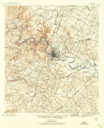
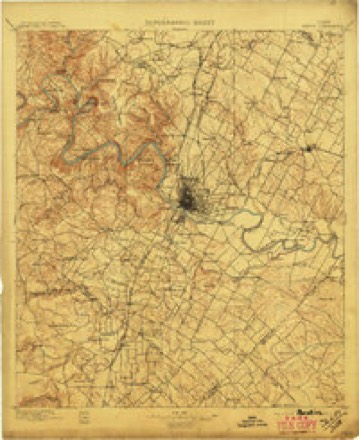
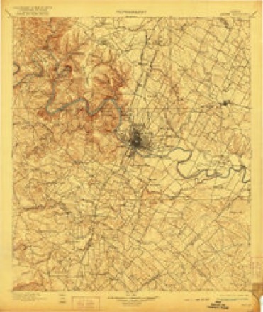
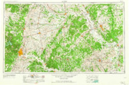
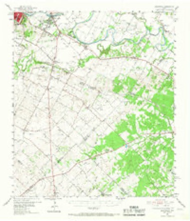
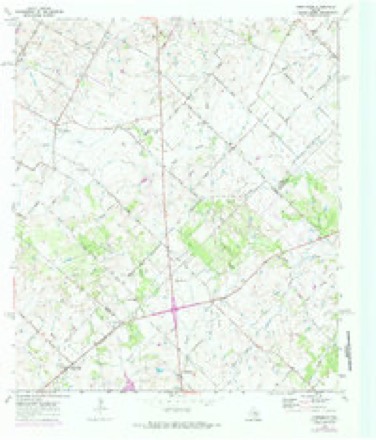
18 topographic sheets cover this place, the earliest surveyed in 1896 and the latest in 1985. It stands in the Lockhart census division. It lies in ZIP code area 78640. It stands on Mesquite Creek. The Survey maps it on the Creedmoor quadrangle.
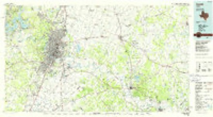
Topographic sheets covering this place
7 surveys from 18 printed sheetsMatched by testing this settlement's coordinate against the published boundary of every sheet in the United States Geological Survey's historical collection. Each opens the scanned sheet at the Survey.
- 1896 USGS Austin quadrangle1:125000
- 1897 USGS Austin quadrangle1:125000
- 1910 USGS Austin quadrangle1:125000, 3 printings
- 1954 USGS Austin quadrangle1:250000, 4 printings
- 1955 USGS Montopolis quadrangle1:62500, 2 printings
- 1968 USGS Creedmoor quadrangle1:24000, 4 printings
- 1985 USGS Austin quadrangle1:100000, 3 printings
Fires near this place
74 since 1994Regional context, not property-specific evidence. The federal wildfire occurrence database lists 74 fires within 5 miles of Niederwald between 1994 and 2020, burning about 1,266 acres in total. None started naturally. 1 was recorded as arson. Distance is straight-line from the map coordinates, so a fire counted here may appear on a neighbouring settlement's page as well.
| Reported cause | Fires |
|---|---|
| Missing data/not specified/undetermined | 30 |
| Debris and open burning | 30 |
| Equipment and vehicle use | 11 |
| Smoking | 1 |
| Arson/incendiarism | 1 |
| Power generation/transmission/distribution | 1 |
The most recent of them, most recent first, with the day each was reported and the service that recorded it.
| Date | Cause | Size | Reported by | Name on the report |
|---|---|---|---|---|
| 4 September 2014 | Smoking | 2.0 acres | Texas A & M Forest Service | S US HWY 183 COMMAND |
| 21 September 2011 | Debris and open burning | 8.0 acres | Texas A & M Forest Service | ROCKY ROAD |
| 16 September 2000 | Missing data/not specified/undetermined | 150 acres | Texas A & M Forest Service | SOUTH BRANCH - 126 |
| 14 September 2017 | Debris and open burning | 5.0 acres | Texas A & M Forest Service | 2485 SCHUELKE RD |
| 2 August 2001 | Missing data/not specified/undetermined | 50 acres | Texas A & M Forest Service | SOUTH BRANCH - 9 |
| 12 August 2020 | Missing data/not specified/undetermined | 50 acres | Texas A & M Forest Service | SCHUELKE ROAD |
| 7 July 2020 | Missing data/not specified/undetermined | 1.0 acres | Texas A & M Forest Service | SANTA FE |
| 7 July 2001 | Missing data/not specified/undetermined | 15 acres | Texas A & M Forest Service | SOUTH BRANCH - 9 |
Settlements close enough to share some of these fires:
Storms near this place
9 since 1993Regional context, not property-specific evidence. The National Weather Service names Niederwald in 9 storm reports between 1993 and 2025: 4 flash flood, 2 hail, 2 flood, 1 tornado. The reports record 2 deaths. Each account below is quoted exactly as the forecast office filed it, from the NOAA Storm Events Database, and each date opens the federal record of that event.
| When | Event | Place named | Harm | What the report says |
|---|---|---|---|---|
| May 2014 | Flash Flood | Niederwald | 1 killed | A 3 year old girl downed after being swept into a small flooded creek. The girl went missing around 5 pm and her body was recovered shortly before midnight approximately 50-75 yards downstream. A 5 year old was successfully rescued and recovered from his near drowning. |
| October 2013 | Flood | Niederwald | 1 killed | A truck drove around a barricade at Brushy Creek on Polonia Road. The truck became submerged and the driver was able to escape unharmed. The passenger was not able to escape and got swept downstream. The body of the female passenger, age 57, was found more than a week later. |
| August 2017 | Flood | Niederwald | $12,850,000 | Heavy rain from Tropical Storm Harvey caused major flooding around the county. At one time, 140 roads were closed the most ever recorded. The emergency manager estimated that 75% of the county's roads were damaged by flooding. The cost of the damage to roads and dams was estimated at $10 million. There were 18 homes destroyed and another 198 damaged by flood water with a total cost of $2.85 million. |
| May 2025 | Hail | Niederwald | - | A thunderstorm produced quarter size hail in Niederwald. |
| October 2023 | Tornado (EF0) | Niederwald | - | A National Weather Service damage survey concluded an EF-0 tornado occurred in far northern Caldwell County. It started near Rolling Ridge Rd. to the northeast of the Two Wishes Polo Club. As the weak circulation was moving to the northeast into the intersection of Rolling Ridge Rd. and Schuelke Rd., the small tornado hit what used to be an old school (which is being converted into a residential home). Nobody was at the home at the time of the small tornado hitting the property. This was a very small tornado that was on the ground for about a minute. The time of the tornado was determined from radar data. The tornado path length was 0.49 miles, and maximum winds were estimated at 65 mph. |
| May 2021 | Flash Flood | Niederwald | - | Thunderstorms produced heavy rain that led to flash flooding. Several roads were flooded across Caldwell County. |
| April 2016 | Flash Flood | Niederwald | - | Thunderstorms produced heavy rain that caused flash flooding closing numerous roads in Caldwell County including Polonia Rd., Farmers Rd., Cottonwood Trl., Holz Rd., Crooked Rd., and Dale Ln. |
| September 2010 | Flash Flood | Niederwald | - | Heavy rain from Tropical Storm Hermine produced flash flooding which closed County Road 233 near Niederwald. |
| May 1993 | Hail | Niederwald | - | Dime-size hail was reported by a KXAN 36 Stormtracker in town. |
Nearest settlements
The eight closest, with where each one stands in the county. Distances are straight-line, computed from the Geographic Names Information System coordinates.
| Map | Place | Distance | Sheets |
|---|---|---|---|
| Mendoza | 2.2 miles | 18 | |
| Uhland | 4.7 miles | 13 | |
| Lytton Springs | 6.1 miles | 17 | |
| Lockhart | 9.1 miles | 15 | |
| Saint Johns Colony | 9.4 miles | 15 | |
| Maxwell | 9.5 miles | 13 | |
| Dale | 10.4 miles | 15 | |
| Reedville | 10.9 miles | 13 |
Provenance
This settlement is recorded in the Geographic Names Information System as feature 1342596. The sheet list is computed by point-in-boundary test against the United States Geological Survey's historical topographic inventory. Both are works of the United States government and carry no copyright under 17 U.S.C. 105.
Wildfire. Short, Karen C. 2022. Spatial wildfire occurrence data for the United States, 1992-2020 [FPA_FOD_20221014]. 6th Edition. Fort Collins, CO: Forest Service Research Data Archive. https://doi.org/10.2737/RDS-2013-0009.6 Collected with United States Government funding and usable without additional permissions or fees.
Storms. NOAA National Centers for Environmental Information, Storm Events Database https://www.ncei.noaa.gov/stormevents/ A work of the United States government, no copyright under 17 U.S.C. 105. Narratives are quoted verbatim from the National Weather Service report and are not edited or summarised.