 Block
BlockFrom the record
7 National Register listings published here.
Sources: the National Register database, National Park Service
71 topographic sheets and 20 fire insurance atlases across 3 places.
7 National Register listings published here.
Sources: the National Register database, National Park Service
Taken for the Office of War Information and the Farm Security Administration, who photographed the country between 1935 and 1944. Works of United States government photographers, with no known restriction on use. Each opens its catalogue record.
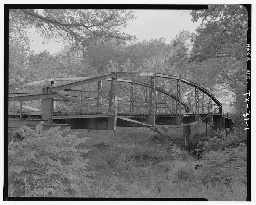
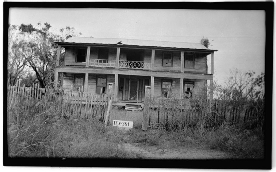
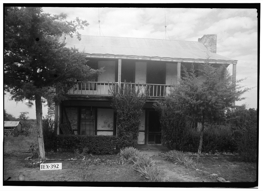
Every property in this county listed on the National Register of Historic Places, with the year it was listed and the federal nomination document.
| Photograph | Property | Type | Listed | Reference |
|---|---|---|---|---|
 | Caldwell County Courthouse Historic District | district | 1978 | 78002902 |
 | Emmanuel Episcopal Church | building | 1974 | 74002065 |
 | Lockhart Vocational High School | building | 1998 | 98001416 |
| Martindale Central Historic District | district | 2021 | 100006859 | |
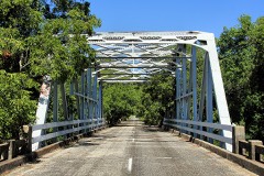 | State Highway 3-A Bridge at Plum Creek | structure | 1996 | 96001107 |
 | M. A. Withers House | building | 1976 | 76002013 |
| Zedler Mill Historic District | district | 2024 | 100009739 |
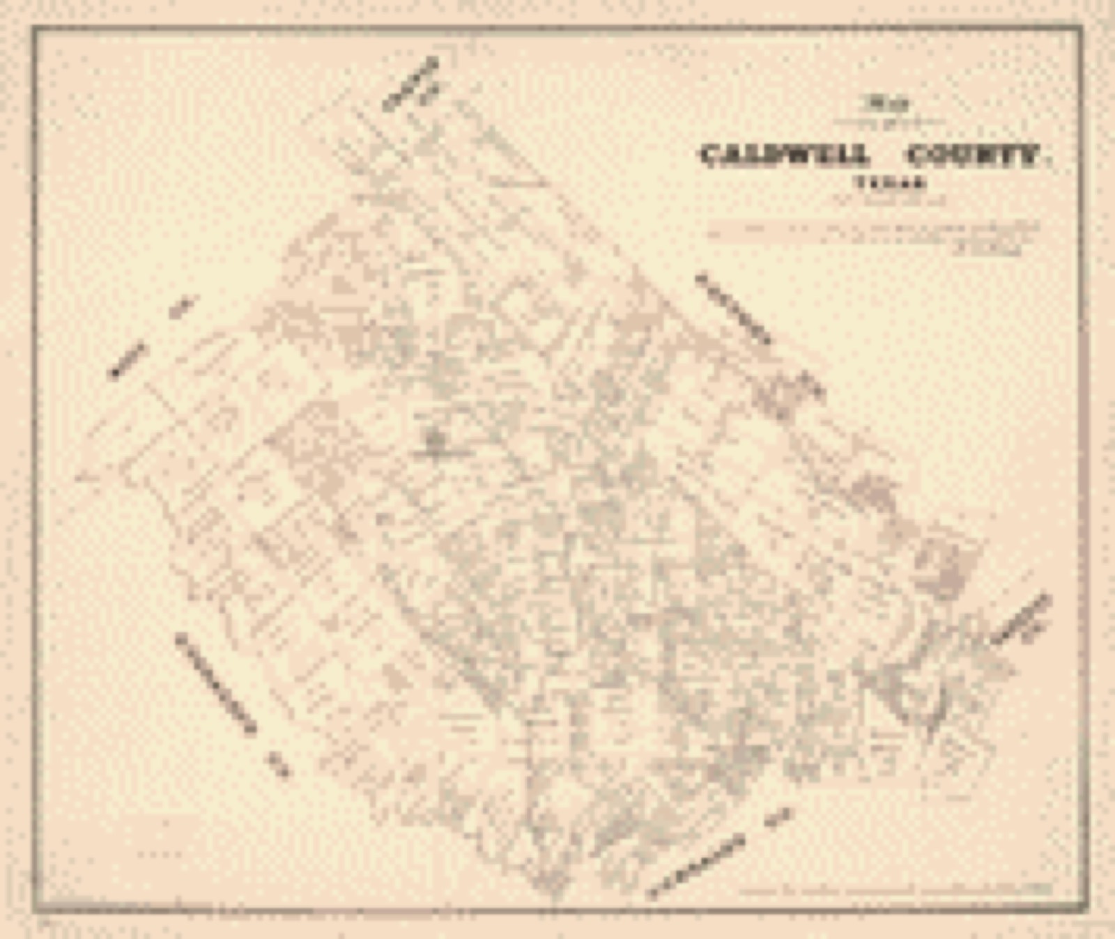
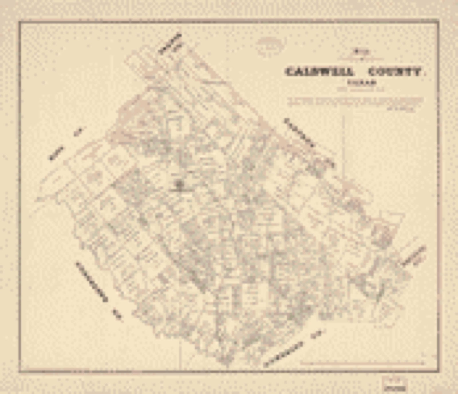
Drawn when these were printed as single large sheets: the town seen from the air, and the county divided into its farms with every owner named. Each opens the original at the Library of Congress.
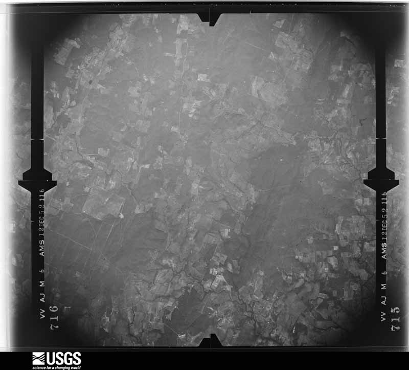
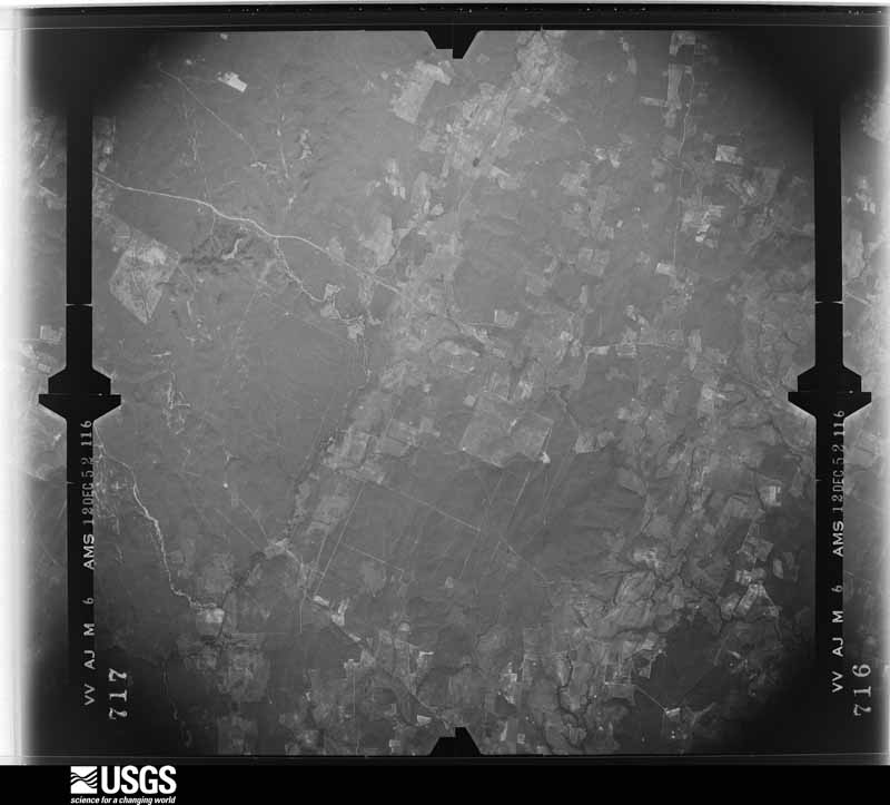
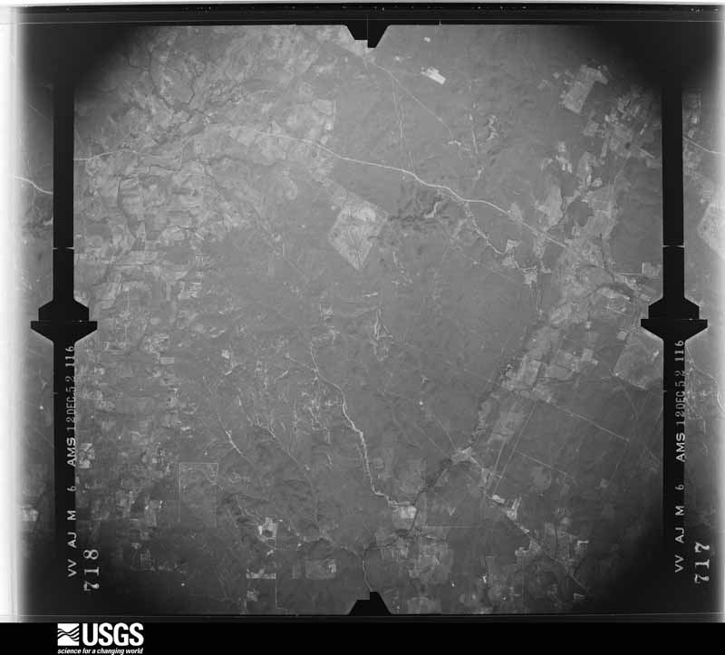
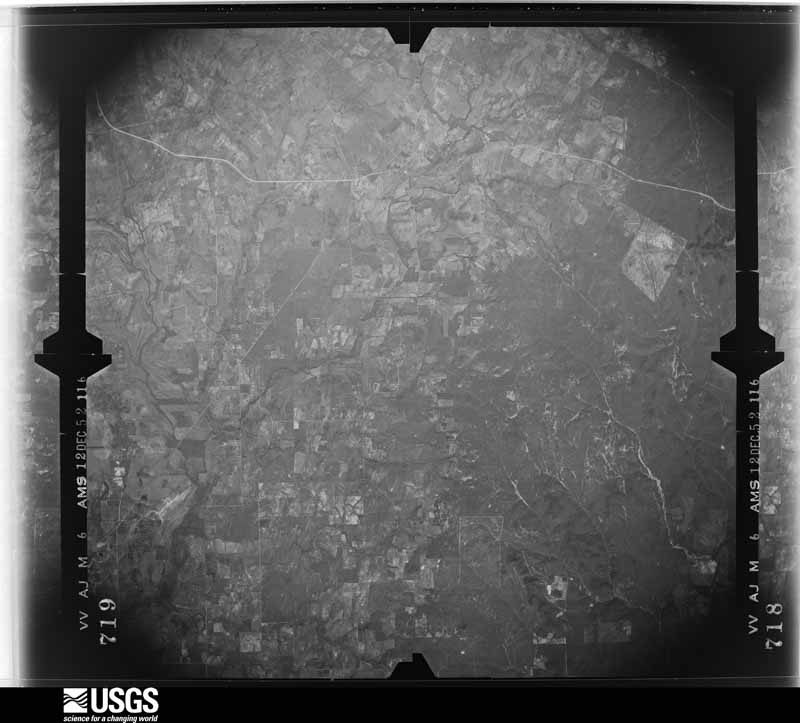
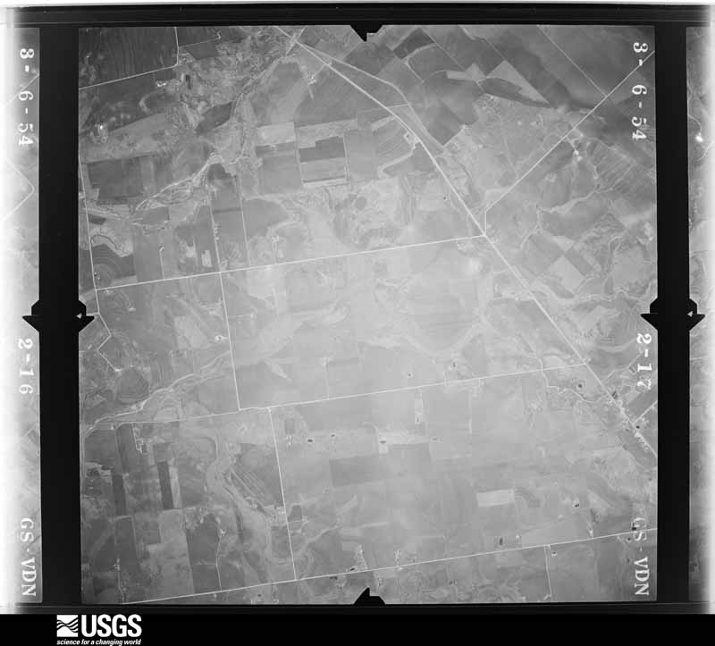
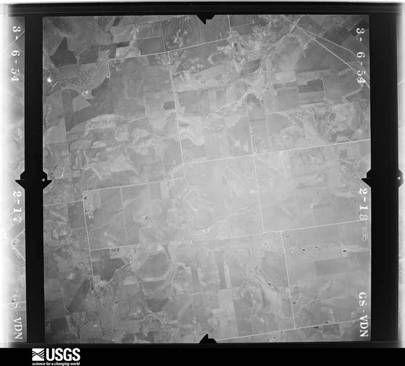
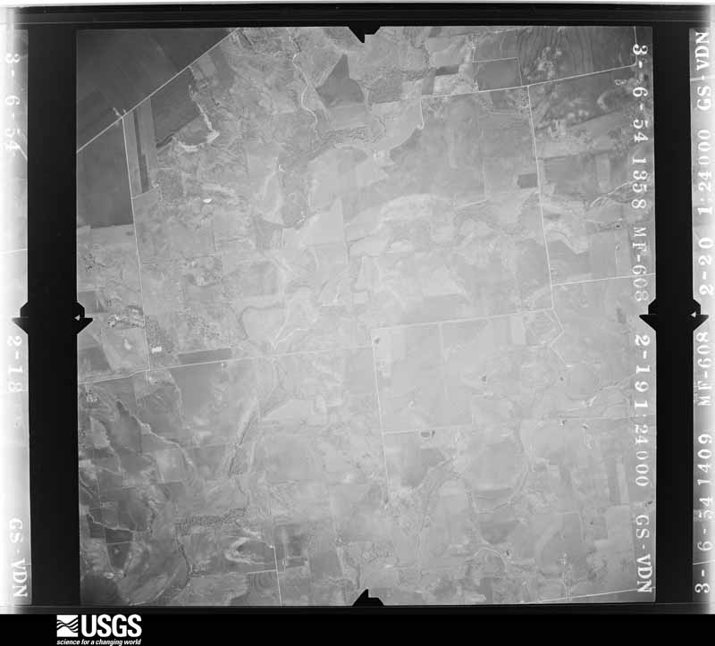
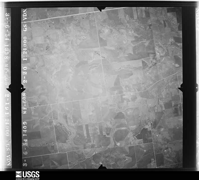
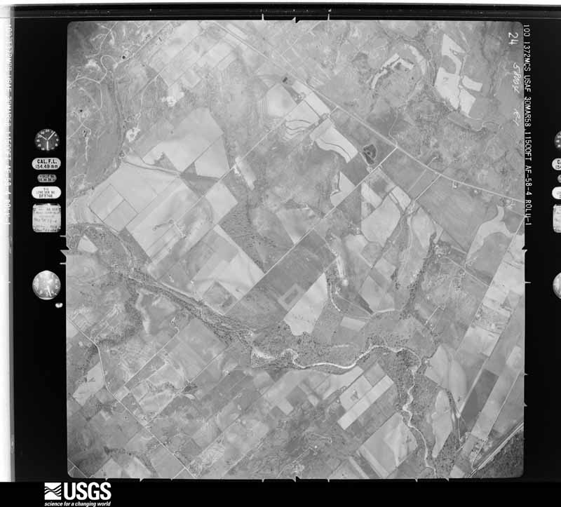
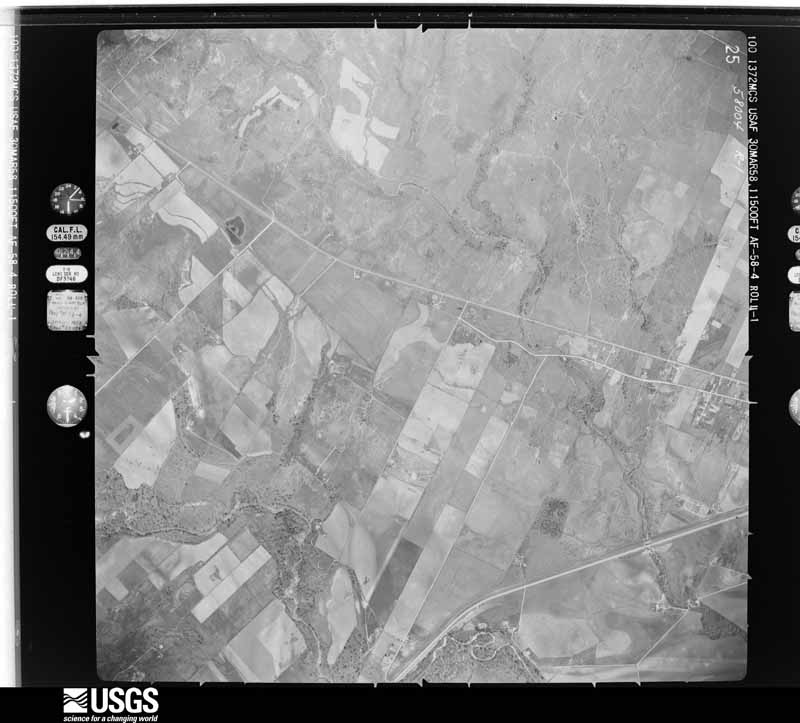
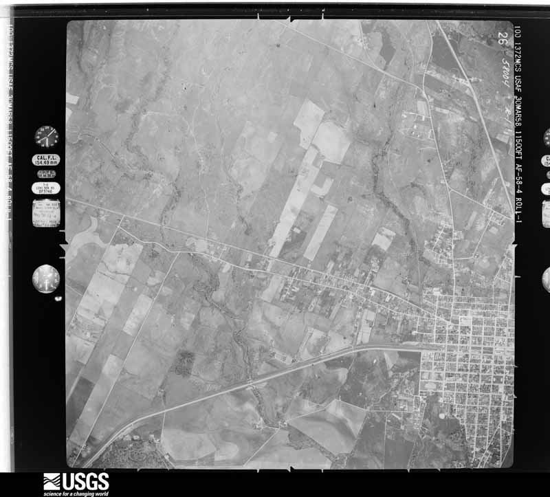
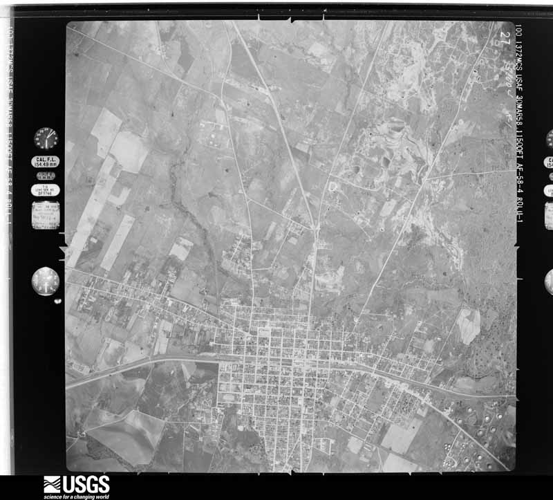
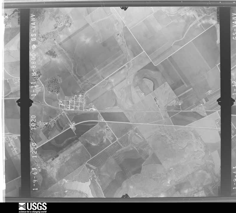
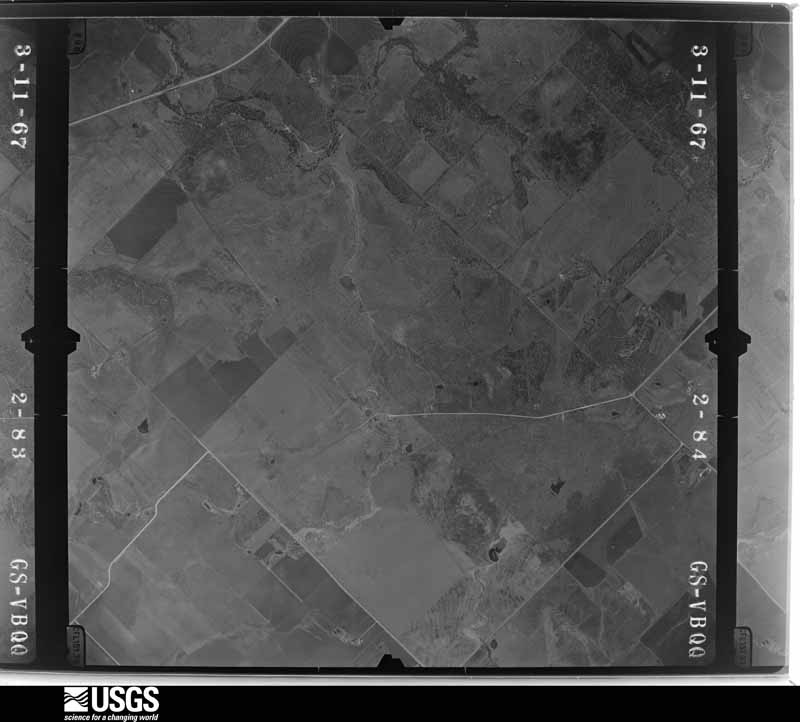
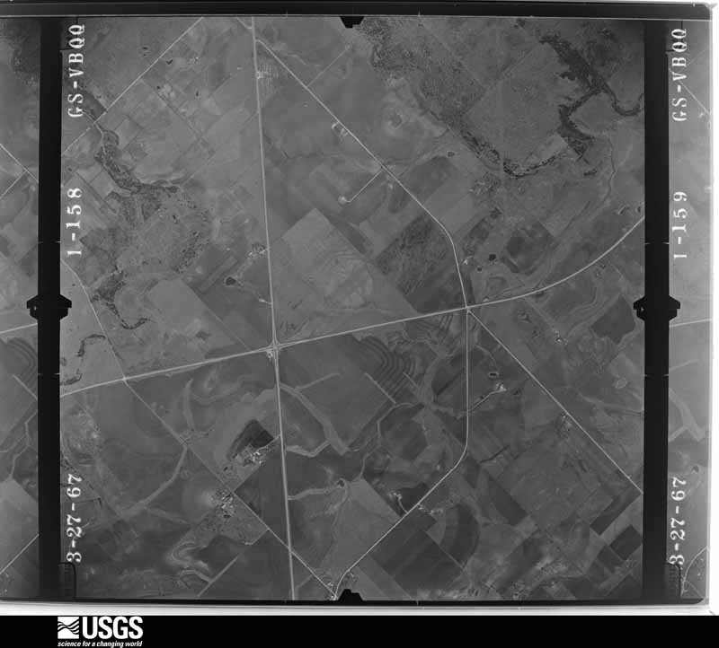
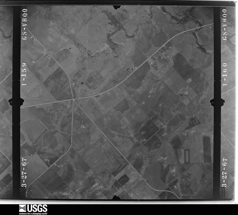
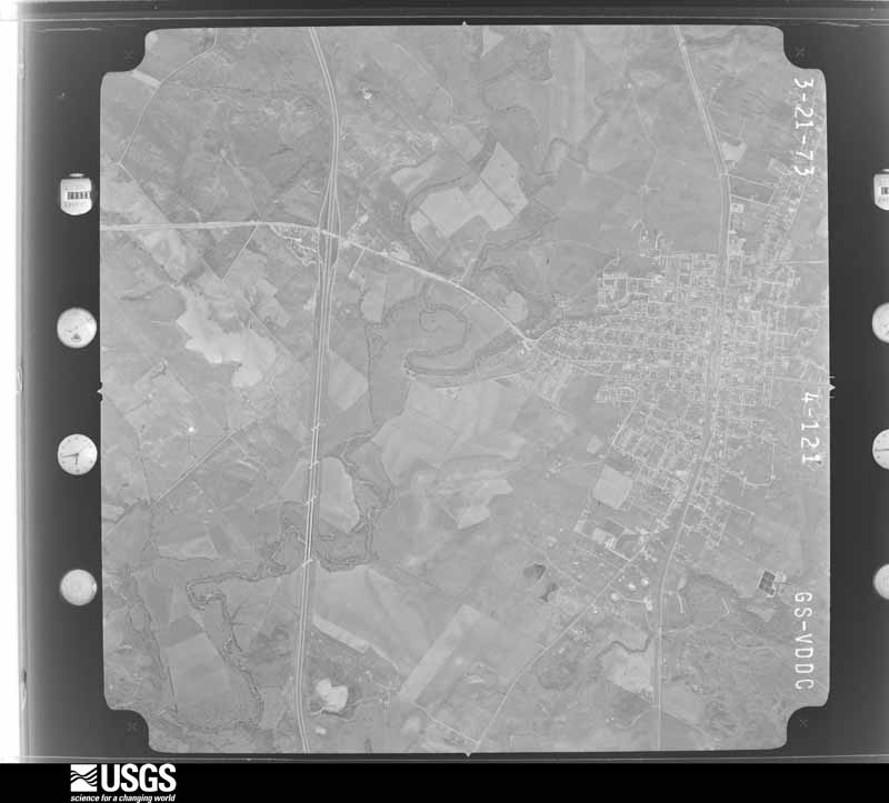
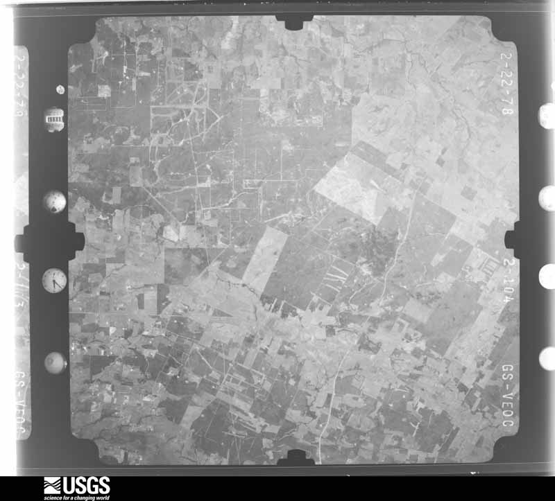
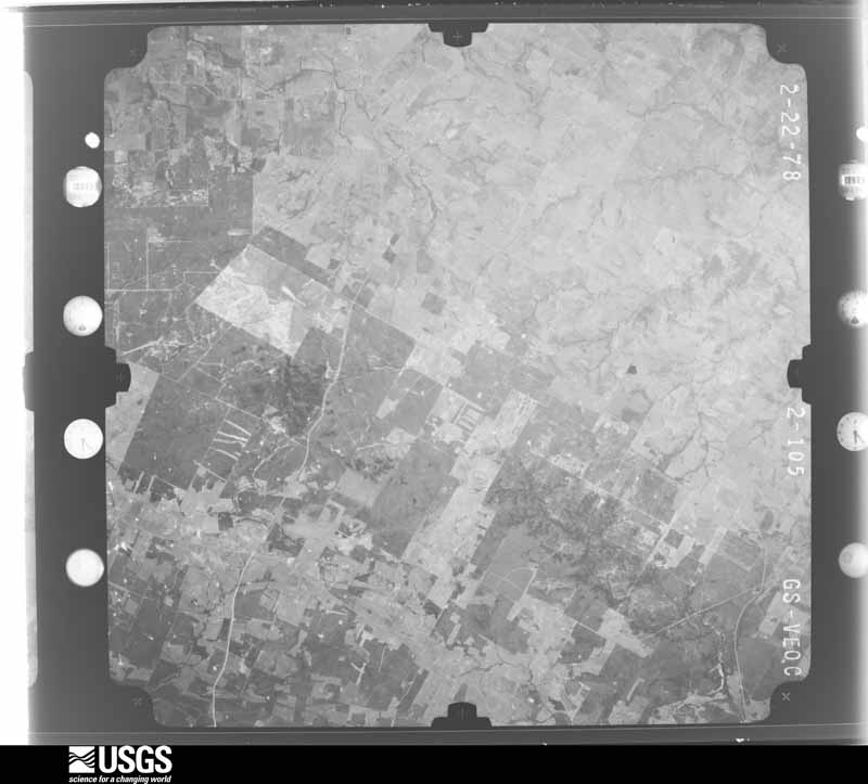
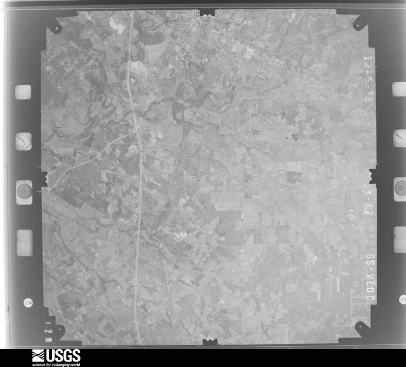
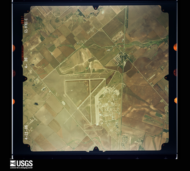
Flown by the U.S. Geological Survey between 1937 and 1989, the Aerial Photo Single Frames collection is the definitive mid-century view of the land: fields, roads and rivers as the camera saw them. The Survey holds 1,737 frames inside the rectangle that bounds this county; the 44 frames below were taken over the county itself, chosen across the decades of flights (at most four a year from that rectangle), so one flight cannot crowd out the rest. The full set is free to browse and download at EarthExplorer under the dataset Aerial Photo Single Frames.




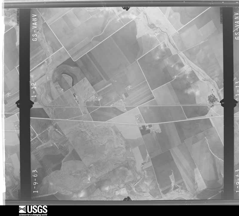
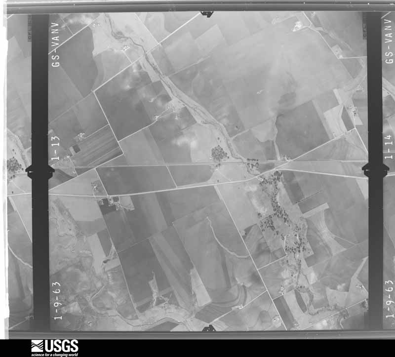
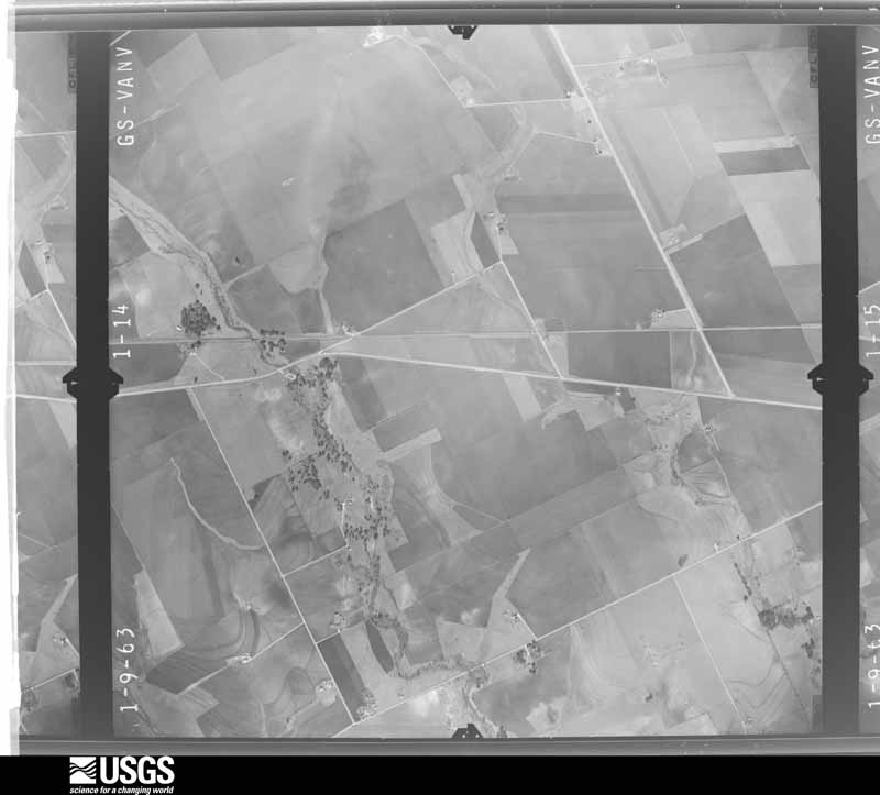
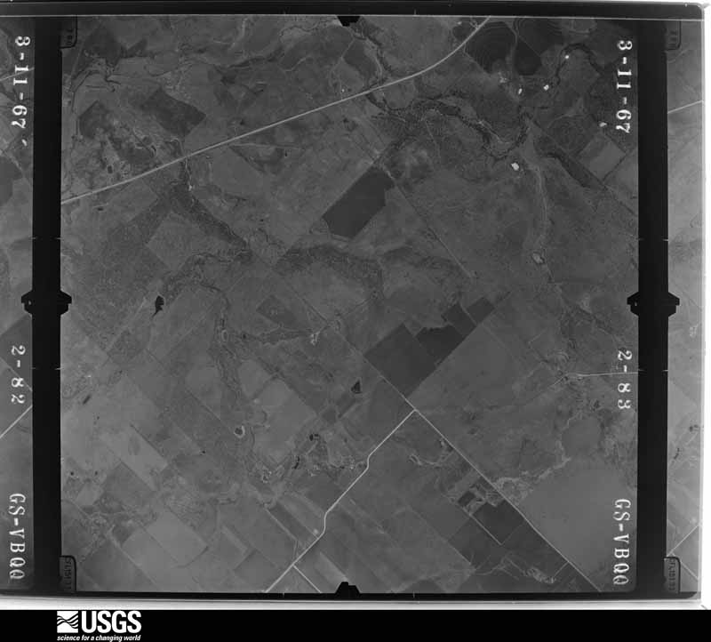


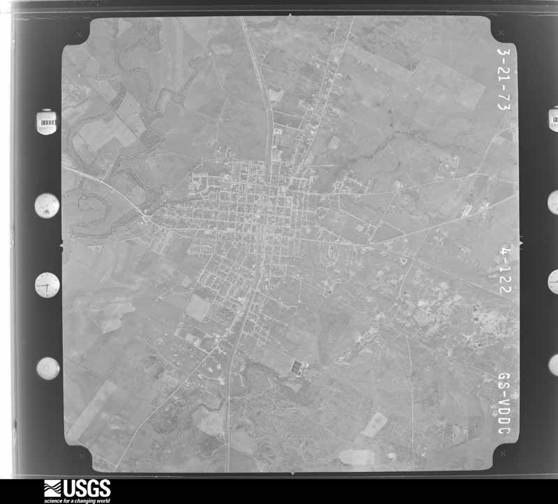
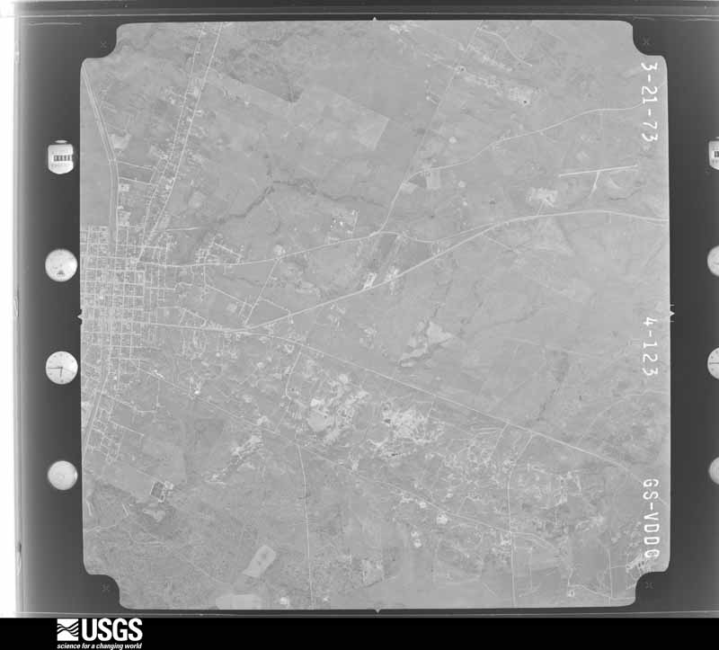
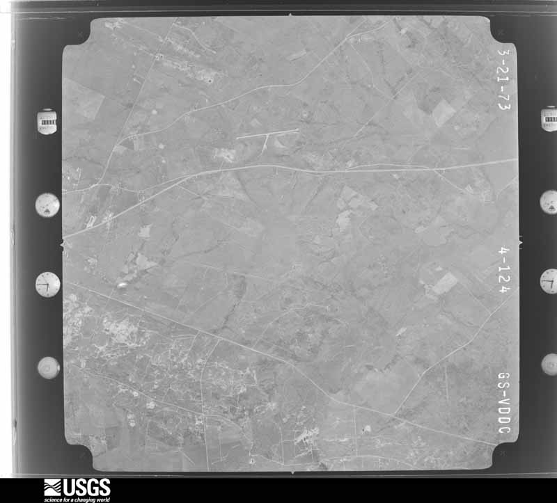
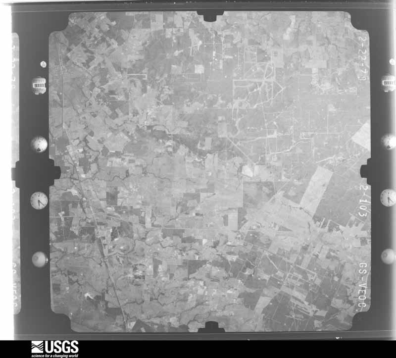


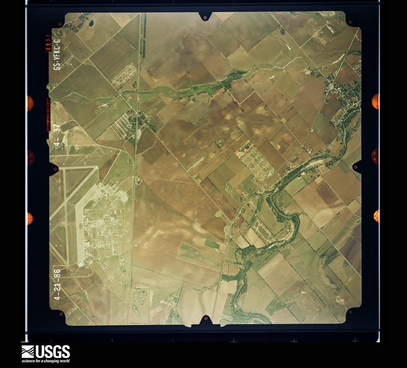
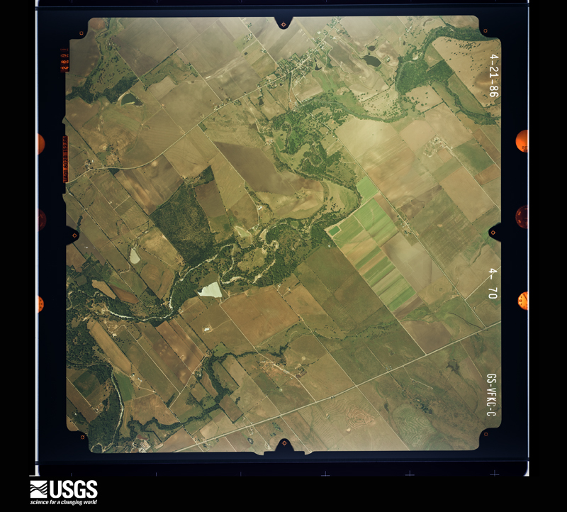
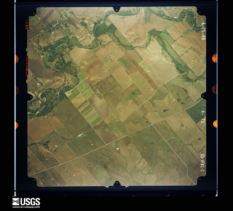

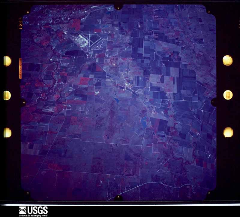


The thermometers that kept this county's weather, and the gages that measured the flow of its streams, as the federal records hold them. The extremes below are measured values from those records, not estimates.
Who lived here in 1950, one enumeration district at a time, as the Census Bureau described each district. Each row opens its official National Archives result, with Population Schedules and ED Maps available there.
Every wildfire the federal occurrence database records inside this county: 906 of them, burning about 15,277 acres. 9 started naturally and 24 were recorded as arson. Each settlement page carries the fires within five miles of it.
| Reported cause | Fires |
|---|---|
| Debris and open burning | 455 |
| Missing data/not specified/undetermined | 195 |
| Equipment and vehicle use | 162 |
| Power generation/transmission/distribution | 31 |
| Arson/incendiarism | 24 |
| Smoking | 14 |
| Natural | 9 |
| Misuse of fire by a minor | 9 |
| Recreation and ceremony | 3 |
| Railroad operations and maintenance | 2 |
| Fireworks | 2 |
The five largest, by the area the report gives. None of them was recorded as arson.
| Date | Cause | Size | Reported by | Name on the report |
|---|---|---|---|---|
| 4 September 2011 | Missing data/not specified/undetermined | 6,030 acres | Texas A & M Forest Service | DELHI FIRE |
| 25 October 2007 | Equipment and vehicle use | 238 acres | Texas A & M Forest Service | not named |
| 3 January 2000 | Equipment and vehicle use | 210 acres | Texas A & M Forest Service | SOUTH BRANCH - 5 |
| 4 September 2011 | Missing data/not specified/undetermined | 200 acres | Texas A & M Forest Service | PETTYTOWN FIRE |
| 16 September 2000 | Missing data/not specified/undetermined | 150 acres | Texas A & M Forest Service | SOUTH BRANCH - 126 |
| 18 June 2008 | Debris and open burning | 140 acres | Texas A & M Forest Service | not named |
| 15 September 1997 | Debris and open burning | 125 acres | Texas A & M Forest Service | not named |
| 4 September 2000 | Natural | 125 acres | National Forests And Grasslands In Texas | CR 205 |
Every settlement page carries the fires within five miles of it - see the settlement index below.
The NOAA Storm Events Database holds 288 reports for this county, causing 11 deaths, 552 injuries and about $75,881,000 in recorded property damage. Each settlement page carries the reports that name it.
| Kind of event | Reports |
|---|---|
| Hail | 92 |
| Flash Flood | 83 |
| Thunderstorm Wind | 79 |
| Tornado | 25 |
| Flood | 6 |
| Lightning | 2 |
| Funnel Cloud | 1 |
The most serious of them, by death, then injury, then recorded damage. The accounts are quoted exactly as the forecast office filed them.
| When | Event | Place named | Harm | What the report says |
|---|---|---|---|---|
| October 1998 | Flash Flood | Countywide | 6 killed, 500 hurt, $20,000,000 | no account filed |
| December 2018 | Flash Flood | Martindale | 2 killed | Thunderstorms produced heavy rain that led to flash flooding sending Morrison Creek over SE River Rd. outside Martindale. Two people were killed when their vehicle was swept into the flood waters. |
| May 2014 | Flash Flood | Niederwald | 1 killed | A 3 year old girl downed after being swept into a small flooded creek. The girl went missing around 5 pm and her body was recovered shortly before midnight approximately 50-75 yards downstream. A 5 year old was successfully rescued and recovered from his near drowning. |
| October 2013 | Flood | Niederwald | 1 killed | A truck drove around a barricade at Brushy Creek on Polonia Road. The truck became submerged and the driver was able to escape unharmed. The passenger was not able to escape and got swept downstream. The body of the female passenger, age 57, was found more than a week later. |
| October 2013 | Flash Flood | Dale | 1 killed | Caldwell County reported several flooded roads during the morning hours including FM 1979 at the San Marcos River, Old Colony Line Road, and FM 86. A flash flood fatality occurred near Track Road and FM 20 East when a 51 year old teacher at Smithville Junior High was driving to work and his car was swept off the road. His body was recovered later that day. |
| August 1980 | Tornado (F2) | not stated | 20 hurt, $25,000,000 | no account filed |
| November 2001 | Flash Flood | Countywide | 20 hurt, $80,000 | Rainfall from mid-morning through the afternoon brought county totals to 4 to 6 inches over the western part of the county. Widespread flash flooding was reported from Martindale through Luling. Several families in low-lying areas were forced to evacuate. Several homes and mobile homes were flooded out as well. Widespread damage was reported to county roads and bridges. |
| June 1998 | Hail | Lockhart | 9 hurt, $20,000 | no account filed |
| August 1961 | Tornado (F2) | not stated | 3 hurt, $2,500 | no account filed |
| June 2003 | Thunderstorm Wind | Martindale | $13,000,000 | As the downburst crossed the Hays County line into Caldwell County, it struck the San Marcos Airport located in extreme eastern Caldwell County. The severe winds caused nearly $7 million in damages to hangars and to between 25 and 30 general aviation aircraft. As it exited the airport, the downburst moved across the Gary Job Corps Center, damaging buildings and knocking over trees. An additional $5 million damage was estimated at the campus. The downburst moved past the campus, across open country and through the town of Martindale. Amateur Radio operators reported trees blown down and damage to numerous roofs, vehicles and fences from west of Martindale and throughout the town. Winds in the event at the airport were estimated at between 80 and 90 knots. |
| August 2017 | Flood | Niederwald | $12,850,000 | Heavy rain from Tropical Storm Harvey caused major flooding around the county. At one time, 140 roads were closed the most ever recorded. The emergency manager estimated that 75% of the county's roads were damaged by flooding. The cost of the damage to roads and dams was estimated at $10 million. There were 18 homes destroyed and another 198 damaged by flood water with a total cost of $2.85 million. |
| October 2015 | Flash Flood | Mendoza | $1,000,000 | Thunderstorms produced heavy rain that caused flash flooding closing FM 1854 at Hwy 21. There were also reports of vehicles stranded in high water at other points along Hwys 21 and 130. In total there were 130 homes affected due to flooding on the 30th in Caldwell County, 31 homes were destroyed, most were mobile homes along the San Marcos River between San Marcos and Martindale. The county totaled nearly 1 million dollars in infrastructure losses and debris cost. This total does not include insured/uninsured losses to homes. |
| June 2007 | Thunderstorm Wind | Maxwell | $500,000 | Severe thunderstorm winds knocked over power lines between Maxwell and Lockhart, and blew down trees at the Lockhart ISD Freshman Campus as well as in the town of Maxwell. The severe winds also rolled over a mobile home over at Lockhart. Hundreds of customers were reported to be without power for several hours. City administrators estimated it would take more than a month to repair damages. |
| March 1994 | Thunderstorm Wind | Lockhart | $500,000 | As the thunderstorm system exited Guadalupe County shortly after 0200 CST, it entered Caldwell County. The same type of wind damage continued, with telephone poles being pulled straight up out of the ground just west of Lockhart. A shed was blown over and nearly destroyed, tree limbs were knocked off trees, and highway billboards were blown down near Lockhart. Widespread window breakage was reported in Lockhart. |
| May 1994 | Thunderstorm Wind | Luling | $500,000 | Extensive tree and powerline damage due to winds. |
| August 1980 | Tornado (F1) | not stated | $250,000 | no account filed |
| April 2007 | Thunderstorm Wind | Martindale | $150,000 | The bow-shaped line along the Hays-Guadalupe-Wilson Counties accelerated as it crossed into Caldwell and Gonzales Counties after 1 am CST. The storms were now producing widespread wind gusts of 60 to 70 knots, with spotty higher gusts approaching 90 knots. Again, most of the damage was in the form of trees blown down, with some damages to roofs of homes. The worst damage was noted in central Lockhart where a old house was blown down. Wind gust estimates at this location were near 95 knots. |
| October 2004 | Thunderstorm Wind | Lockhart | $150,000 | The Caldwell County Emergency Manager reported that severe thunderstorm winds estimated near 80 knots blew over large trees and knocked down power lines just south of Lockhart. The winds also destroyed a metal barn in the area. |
| May 2024 | Thunderstorm Wind | Martindale | $100,000 | A thunderstorm produced wind gusts estimated at 70 mph that damaged trees, power poles, and power lines along the Guadalupe-Caldwell county line near Martindale. |
| June 2023 | Lightning | Joliet | $100,000 | Lightning started a fire at an oil tank battery on Bugtussle Ln. northwest of Luling. Six hundred fifty barrels of oil burned. |
| January 2020 | Thunderstorm Wind | Lockhart | $100,000 | A thunderstorm produced wind gusts estimated at 70 mph that blew over two 18-wheeler trucks on SH-130 north of Lockhart. |
| April 2007 | Thunderstorm Wind | Dale | $100,000 | Severe thunderstorm winds blew down several trees and lifted and rolled a small barn several hundred yards. |
| August 2003 | Thunderstorm Wind | Luling | $100,000 | As the line of thunderstorms associated with the late season cold front moved southward into Caldwell County, they produced severe winds that damaged roofs and windows of buildings in Luling. Portions of one building were blown over onto a trailer by the strong winds. |
| May 2002 | Hail | Maxwell | $100,000 | Large hail broke windows and damaged vehicle windshields around Maxwell. |
| April 1997 | Hail | Luling | $100,000 | Damage was reported to numerous vehicles due to the 1.5 inch hail in Luling. |
| October 2002 | Thunderstorm Wind | Maxwell | $80,000 | Severe thunderstorm winds struck the area from Maxwell to northeast of Lockhart. The utility company reported that the storm blew down numerous trees and power line poles along this path. |
| October 2002 | Thunderstorm Wind | Fentress | $80,000 | A severe thunderstorm downburst struck near Fentress, destroying two mobile home and damaging six others. |
| May 2004 | Thunderstorm Wind | Lockhart | $75,000 | An Amateur Radio Spotter in McMahan reported trees knocked over and power lines blown down by high winds. He measured wind gusts near 48 knots, but estimated they were as high as 60 knots west of McMahan. Numerous six-inch limbs were broken off trees and shingles were torn from roofs between Lockhart and McMahan. |
| June 2003 | Thunderstorm Wind | Countywide | $70,000 | Severe thunderstorm winds blew down trees across much of Caldwell County. |
| May 2015 | Flash Flood | Luling | $50,000 | Numerous roads and low water crossings flooded across the county. Emergency vehicles were unable to respond to some calls for assistance due to impassable roads. Two swift water rescues were performed. One was located on Caldwell Road near Highway 21 involving one person and a nearly submerged vehicle. Another was located on a county road near the Hays county border. |
| August 2003 | Thunderstorm Wind | Luling | $50,000 | The severe thunderstorm exited Bastrop County, still moving southwestward, and approached the town of Luling. There it produced a downburst that knocked over trees and blew down power lines. |
| March 2002 | Thunderstorm Wind | Countywide | $50,000 | Trees were blown down in an west-southwest to east-northeast direction by the derecho that had begun in eastern Bexar County and had consistently continued through Guadalupe County. Only very minor, spotty damage was reported to roofs of homes and windows of homes and cars. |
| May 2001 | Thunderstorm Wind | Countywide | $50,000 | Severe thunderstorm winds caused widespread damage to trees, roofs, and power lines. |
| July 1998 | Thunderstorm Wind | Luling | $50,000 | Severe thunderstorm winds blew down power lines in the Luling area. One building collapsed as a result of the downburst. The storms also produced large hail across the county. |
| June 1998 | Tornado (F1) | Lockhart | $50,000 | no account filed |
| June 2019 | Thunderstorm Wind | Lockhart | $30,000 | A thunderstorm produced wind gusts estimated at 85 mph that blew over three gas station awnings in Lockhart. |
| April 2002 | Flash Flood | West Portion | $30,000 | Up to 3 inches of rain fell across the western part of the Caldwell County causing minor flash flooding through the early morning. Minor damage reported was to roads and bridges, with some damage to crops in the area. |
| October 2002 | Flash Flood | Countywide | $30,000 | Showers and thunderstorms spread northward from Wilson County into Guadalupe and Caldwell Counties just before midnight, with rain rates of up to 2 inches an hour. Heavy rain was widespread across Caldwell County from just before midnight into the early morning hours, with general rain totals near 3 inches and scattered amounts of 5 to 7 inches in the southern part of the county. Widespread flash flooding forced the closing of many county roads. |
| November 2000 | Thunderstorm Wind | Martindale | $30,000 | Severe thunderstorms winds blew down power lines in the Martindale area. |
| October 2025 | Thunderstorm Wind | Taylorsville | $25,000 | A thunderstorm produced wind gusts estimated at 75 mph. Two large Oak trees were uprooted. Several medium size metal buildings (12x20, 10x12, 60x100) were damaged or destroyed. All of the damage was near Dale. |
| January 2020 | Thunderstorm Wind | Dale | $25,000 | A thunderstorm produced wind gusts estimated at 75 mph that destroyed a fence, downed trees, tore the roof off a barn, tore part of a roof off a house, and damaged a garage in Dale. |
| September 1988 | Tornado (F0) | not stated | $25,000 | no account filed |
| November 1961 | Tornado (F2) | not stated | $25,000 | no account filed |
| June 2019 | Thunderstorm Wind | Fentress | $20,000 | A thunderstorm produced wind gusts estimated at 80 mph that significantly damaged a barn in Fentress. |
| March 2018 | Hail | Delhi | $20,000 | A thunderstorm produced baseball size hail near the intersection of Hwy 304 and Wolf Run Rd. that killed a cow and severely damaged a law enforcement vehicle in Delhi. |
| September 2011 | Thunderstorm Wind | Dale | $20,000 | A thunderstorm produced wind gusts estimated at 58 mph which blew the roof off a home in Dale. |
| November 2000 | Tornado (F0) | Lockhart | $20,000 | The Sheriff's Department reported that a small and short-lived tornado knocked over trees and power lines just south of Lockhart. |
| August 2001 | Flash Flood | Countywide | $20,000 | no account filed |
| October 1997 | Flash Flood | Countywide | $20,000 | no account filed |
| December 2002 | Flash Flood | Countywide | $15,000 | General 1 to 2 inch rains fell over the county, with totals near 5 inches just north of Luling. Soils over the county had remained saturated from recent rainfall, and flash flooding developed quickly across much of the county. |
| November 2000 | Flash Flood | Countywide | $15,000 | no account filed |
| June 1997 | Flash Flood | Countywide | $15,000 | no account filed |
| September 1997 | Thunderstorm Wind | Maxwell | $15,000 | no account filed |
| October 2022 | Thunderstorm Wind | Lockhart | $10,000 | A thunderstorm produced wind gusts estimated at 70 mph that knocked down trees and power lines in Lockhart. |
| May 2020 | Tornado (EF0) | Mc Mahan | $10,000 | A National Weather Service survey concluded that a weak and short lived EF0 tornado touched down near the intersection of FM 86 and CR 713 in McMahan. The small tornado moved north across an open field before hitting a residence where it damaged trees, along with the roof of a barn. The tornado dissipated to the north of the property. Maximum winds were estimated at 85 mph. |
| April 2020 | Thunderstorm Wind | Reedville | $10,000 | A thunderstorm produced wind gusts estimated at 80 mph that broke power poles and knocked down power lines in Martindale. |
| March 2018 | Tornado (EF0) | Brownsboro | $10,000 | In the early morning hours, a cluster of storms moved east across portions of Caldwell County. Along the leading edge of the thunderstorms, an NWS survey concluded a small EF-0 (estimated peak wind, 80mph) tornado formed and produced some minor damage approximately seven miles northeast of Luling. Wind damage to some trees was found on CR 144 with some roof damage reported off of Wattsville Rd. A small tornado track was found that crossed Pasture Rd. and continued east just north of Wattsville Rd. ending just east of Tenney Creek Rd. |
| October 2013 | Lightning | Reedville | $10,000 | A thunderstorm produced a lightning strike that caused a structural fire. |
| November 2002 | Flash Flood | Countywide | $10,000 | General 1 inch rainfall with isolated totals to 3.5 inches near Dime Box produced flash flooding from early afternoon into the late evening hours. Minor damage was reported to county roads. |
| November 2000 | Flash Flood | Countywide | $10,000 | no account filed |
The Survey's mineral resources record lists 3 workings inside this county. All of them still produce. Each settlement page carries the workings within five miles of it.
| Commodity | Workings |
|---|---|
| Sand and Gravel, Construction | 3 |
The least common of them first, because a county's hundredth gravel pit says nothing its first ten did not.
| Where | Site | Commodity | Status | Recorded |
|---|---|---|---|---|
| Hays County Gravel Co Operation | Sand and Gravel, Construction | Producer | ||
| Mercer Pit & Plant | Sand and Gravel, Construction | Producer | ||
| Unnamed Pit | Sand and Gravel, Construction | Producer | Gravel, Sand |
Named settlements recorded in the Geographic Names Information System, each with the topographic sheets covering it. Villages, hamlets and abandoned places alike. Each is shown with the nearest named watercourse or landform and the survey quadrangle it falls on. The 3 places that were also surveyed for fire insurance come first, with the number of atlases and photographs held for them.
Lockhart census division · 78644 · On Town Branch · Lockhart North quadrangle
15 sheets, 1911 to 1985
Fire insurance: 9 atlases
Luling census division · 78648 · On Seals Creek · Luling quadrangle
15 sheets, 1911 to 1985
Fire insurance: 9 atlases
Martindale census division · 78656 · Near Koeglar Hill · Uhland quadrangle
13 sheets, 1911 to 1985
Fire insurance: 2 atlases
Lockhart census division · 78662 · On Cat Branch · Red Rock quadrangle
11 sheets, 1901 to 1985
Martindale census division · 78622 · On Dickerson Creek · Martindale quadrangle
13 sheets, 1911 to 1985
Luling census division · 78648 · On Pin Oak Creek · Lockhart South quadrangle
15 sheets, 1911 to 1985
Martindale census division · 78655 · On Hemphill Creek · Martindale quadrangle
13 sheets, 1911 to 1985
Lockhart census division · 78616 · On Campbell Creek · McMahan quadrangle
15 sheets, 1911 to 1985
Luling census division · 78648 · On Pin Oak Creek · Lockhart South quadrangle
15 sheets, 1911 to 1985
No longer a settlement
Lockhart census division · 78640 · On Mesquite Creek · Creedmoor quadrangle
18 sheets, 1896 to 1985
Martindale census division · 78648 · On Callihan Creek · Kingsbury quadrangle
15 sheets, 1911 to 1985
Lockhart census division · 78644 · On Dry Creek · McMahan quadrangle
15 sheets, 1911 to 1985
Lockhart census division · 78662 · On Cat Branch · Red Rock quadrangle
11 sheets, 1901 to 1985
Luling census division · 78616 · On Daniels Creek · McMahan quadrangle
15 sheets, 1911 to 1985
Luling census division · 78648 · On Copperas Creek · McMahan quadrangle
15 sheets, 1911 to 1985
The vanished settlements of Caldwell County: the places named above that are no longer on the map.
15 topographic sheets and 9 fire insurance atlases, 1888 to 1946
15 topographic sheets and 9 fire insurance atlases, 1885 to 1941
The complete index, with nothing left out. Each of these is a separate record with its own page: a federal survey report, or the case file that argued a property on to the National Register. Both are public domain and reproduced word for word.
The vanished settlements of Caldwell County, the places these records name that are no longer on the map.