 Block
BlockOak Hill, Texas
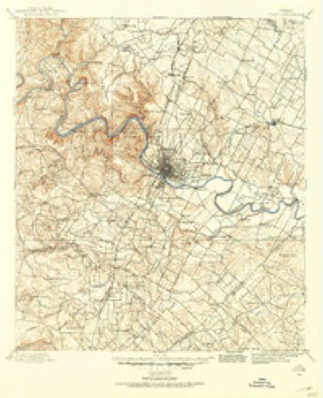
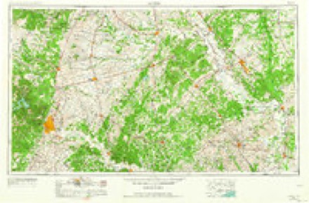
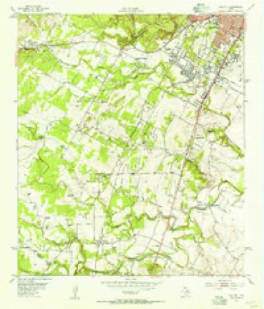
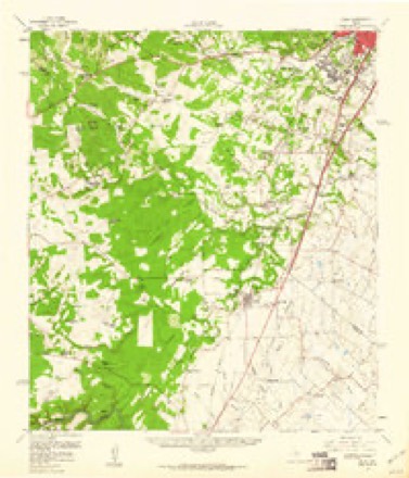
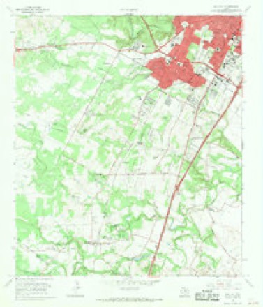
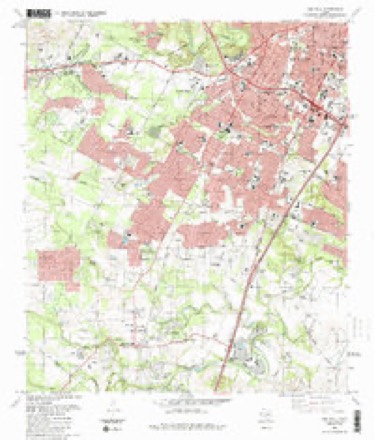
18 topographic sheets cover this place, the earliest surveyed in 1896 and the latest in 1988. It stands in the Austin census division. It lies in ZIP code area 78735. The Survey maps it on the Oak Hill quadrangle.
Topographic sheets covering this place
9 surveys from 18 printed sheetsMatched by testing this settlement's coordinate against the published boundary of every sheet in the United States Geological Survey's historical collection. Each opens the scanned sheet at the Survey.
- 1896 USGS Austin quadrangle1:125000
- 1897 USGS Austin quadrangle1:125000
- 1910 USGS Austin quadrangle1:125000, 3 printings
- 1954 USGS Austin quadrangle1:250000, 4 printings
- 1955 USGS Oak Hill quadrangle1:24000
- 1958 USGS Buda quadrangle1:62500, 2 printings
- 1966 USGS Oak Hill quadrangle1:24000, 2 printings
- 1985 USGS Austin quadrangle1:100000, 3 printings
- 1988 USGS Oak Hill quadrangle1:24000


Fires near this place
123 since 2005Regional context, not property-specific evidence. The federal wildfire occurrence database lists 123 fires within 5 miles of Oak Hill between 2005 and 2020, burning about 229 acres in total. 3 started naturally. 6 were recorded as arson. Distance is straight-line from the map coordinates, so a fire counted here may appear on a neighbouring settlement's page as well.
| Reported cause | Fires |
|---|---|
| Missing data/not specified/undetermined | 63 |
| Smoking | 13 |
| Debris and open burning | 12 |
| Equipment and vehicle use | 11 |
| Misuse of fire by a minor | 8 |
| Arson/incendiarism | 6 |
| Recreation and ceremony | 4 |
| Natural | 3 |
| Power generation/transmission/distribution | 2 |
| Railroad operations and maintenance | 1 |
The most recent of them, most recent first, with the day each was reported and the service that recorded it.
| Date | Cause | Size | Reported by | Name on the report |
|---|---|---|---|---|
| 9 September 2007 | Missing data/not specified/undetermined | 1.0 acres | Texas A & M Forest Service | not named |
| 9 September 2006 | Missing data/not specified/undetermined | 1.0 acres | Texas A & M Forest Service | not named |
| 2 September 2006 | Smoking | 1.0 acres | Texas A & M Forest Service | not named |
| 15 September 2008 | Smoking | 2.0 acres | Texas A & M Forest Service | not named |
| 12 September 2006 | Misuse of fire by a minor | 1.0 acres | Texas A & M Forest Service | not named |
| 9 August 2006 | Missing data/not specified/undetermined | 1.0 acres | Texas A & M Forest Service | not named |
| 5 August 2012 | Debris and open burning | 1.0 acres | Texas A & M Forest Service | 8700 THUNDERBIRD |
| 31 August 2006 | Missing data/not specified/undetermined | 1.0 acres | Texas A & M Forest Service | not named |
Settlements close enough to share some of these fires:
Storms near this place
41 since 1999Regional context, not property-specific evidence. The National Weather Service names Oak Hill in 41 storm reports between 1999 and 2026: 21 flash flood, 14 hail, 5 thunderstorm wind, 1 lightning. The reports record 4 deaths. Each account below is quoted exactly as the forecast office filed it, from the NOAA Storm Events Database, and each date opens the federal record of that event.
| When | Event | Place named | Harm | What the report says |
|---|---|---|---|---|
| October 2013 | Flash Flood | Oak Hill | 4 killed, $100,000,000 | Heavy rains in excess of 14 inches upstream of Austin in the Onion Creek Watershed near Wimberley caused a flash flood that hit portions of South Austin in the early morning hours. Water started to rise and flood portions of the Onion Creek area near Interstate 35 by 4-5am on the morning of the 31st and water continued to rise into the early morning hours. USGS gauges were overtopped near Twin Creek Road and this record flood water continued to move along Onion creek, passing under I-35 and inundating several neighborhoods between I-35 and US Highway 183. A reverse 911 was utilized by the City of Austin to help evacuate residents but flood waters rose so quickly that most residents sheltered in place and were rescued by truck and helicopter later that morning. Those that tried to escape the flood waters via their vehicles got caught in the rising waters and this led to several fatalities. A mother and infant son died when their SUV vehicle was swept off the Onion Creek bridge on Bluff Springs Road in the predawn hours around 430 am. Another resident in a neighborhood along Onion Creek was also found drowned as his vehicle got swept off the road and was recovered near Pleasant Valley Drive and William Cannon. Almost 2 weeks later the body of a homeless man was found in Williamson Creek near South First Street and Heartwood. He was presumed a flood fatality from this event. Manual readings were performed by USGS at the Onion Creek/Highway 183 gauge site ATIT2. The creek crested just over 40 feet at 930 am the morning of October 31st. This was a new record height for this location and translated to about 135,000 cubic feet per second. In total across Travis County and the City of Austin, over 700 homes were damaged by the flooding, of which over 100 were destroyed. Most of the affected homes did not have insurance and were within the 100 year flood plain of Onion Creek. Flood recovery lasted for several weeks including debris removal. Damage estimates are still being calculated as of this writing but damages across Travis County and the City of Austin look like they will exceed 100 million dollars. |
| June 2007 | Flash Flood | Oak Hill | $50,000 | A series of thunderstorms moved through south and central Travis County, producing 2 to 3 inch rain totals and isolated amounts as high as 4 inches just west of Manor. Flash flooding closed Loyola Lane, Oneil Drive, Bee Caves Road in Oak Hill, and Mopac near Loop1 and Parmer Rd. |
| May 1999 | Thunderstorm Wind | Oak Hill | $50,000 | Severe winds blew down power lines and large tree limbs in the Oak Hill area. |
| April 2018 | Lightning | Oak Hill | $10,000 | Lightning struck a house on La Siesta Bend in southwestern Austin. There wasn't a fire, but the house suffered significant electrical damage. |
| April 2026 | Hail | Oak Hill | - | A thunderstorm produced pea to nickel size hail along with 50 mph wind gusts in Oak Hill. |
| March 2025 | Hail | Oak Hill | - | A thunderstorm produced penny size hail near Barton Creek. |
| May 2021 | Flash Flood | Oak Hill | - | Thunderstorms produced heavy rain that led to flash flooding. Williamson Creek left its banks flooding a road in Oak Hill. |
| May 2021 | Flash Flood | Oak Hill | - | Thunderstorms produced heavy rain that led to flash flooding. Williamson Creek left its banks and flooded a low water crossing near Joe Tanner Ln. and McCarty Ln. in Oak Hill. |
| October 2021 | Flash Flood | Oak Hill | - | Thunderstorms produced nearly four inches of rain in under two hours that led to flash flooding. ATXFloods reported two low water crossings were flooded in southwestern Austin. |
| May 2019 | Flash Flood | Oak Hill | - | Thunderstorms produced heavy rain that led to flash flooding. ATX Floods reported a low water crossing closed at 6334 Joe Tanner Ln. and Williamson Creek in Southwestern Austin. |
| June 2019 | Flash Flood | Oak Hill | - | Thunderstorms produced heavy rain that led to flash flooding closing Old Bee Caves Rd. at Williamson Creek. The flooding was observed on a camera at ATXFloods. |
| April 2016 | Flash Flood | Oak Hill | - | Thunderstorms produced heavy rain that caused flash flooding closing a low water crossing on Joe Tanner Ln. at Williamson Creek. |
| June 2016 | Flash Flood | Oak Hill | - | Thunderstorms produced heavy rain that caused flash flooding damaging the residential bridge on Silvermine Dr. at Williamson Creek near Hwy 71. |
| March 2016 | Flash Flood | Oak Hill | - | Thunderstorms produced heavy rain that caused flash flooding. ATXFloods reported low water crossings closed in Oak Hill near Hwy290. |
| May 2016 | Flash Flood | Oak Hill | - | Thunderstorms produced heavy rain that caused flash flooding closing several low water crossings along Williamson Creek including Joe Tanner Ln. |
| May 2016 | Flash Flood | Oak Hill | - | Thunderstorms produced heavy rain that caused rushing water over Old Bee Caves Rd. along Williamson Creek near Hwy 290. |
| May 2015 | Hail | Oak Hill | - | A thunderstorm produced quarter sized hail at the intersection of Slaughter Ln. and Escarpment Blvd. in Austin. |
| April 2015 | Thunderstorm Wind | Oak Hill | - | A thunderstorm produced wind gusts estimated at 65 mph that knocked down a tree which blocked the road near the intersection of Westgate Blvd. and Cohoba Dr. in Austin. |
| May 2015 | Flash Flood | Oak Hill | - | Thunderstorms produced heavy rain that led to flash flooding closing low water crossings on Joe Tanner Ln. and Old Bee Caves Rd. |
| November 2014 | Flash Flood | Oak Hill | - | Thunderstorms produced heavy rain that caused flash flooding requiring swift water rescue of three people trapped in a vehicle on Old San Antonio Rd. and closing a low water crossing on Old Bee Caves Rd. at Joe Tanner Ln in Austin. |
| November 2014 | Flash Flood | Oak Hill | - | Thunderstorms produced heavy rain that caused flash flooding closing a low water crossing on Joe Tanner Ln. in Austin. |
| April 2014 | Hail | Oak Hill | - | A thunderstorm produced nickel size hail and wind gusts estimated at 55 mph. |
| June 2014 | Thunderstorm Wind | Oak Hill | - | A thunderstorm produced wind gusts estimated at 60 mph that tore five inch diameter branches off of some Lace Bark Elms. |
| September 2014 | Flash Flood | Oak Hill | - | Thunderstorms produced heavy rain that caused flash flooding closing several city streets in Austin near Escarpment Blvd. and Highway 290 and the 9100 block of Highway 71. |
| May 2013 | Flash Flood | Oak Hill | - | Thunderstorms produced heavy rain that caused flash flooding closing a low water crossing near the Y in Oak Hill. |
| March 2012 | Flash Flood | Oak Hill | - | Thunderstorms produced heavy rain that caused flash flooding of multiple roads in Austin including Joe Tanner Lane and Spicewood Springs Road. |
| July 2012 | Flash Flood | Oak Hill | - | Thunderstorms produced heavy rain that caused flash flooding and closed Old Bee Caves Rd at Hwy 71. |
| May 2011 | Thunderstorm Wind | Oak Hill | - | A thunderstorm produced wind gusts estimated at 50 knots which knocked down some large tree limbs. |
| April 2008 | Flash Flood | Oak Hill | - | Joe Tanner road was reported closed due to high water. |
| August 2005 | Flash Flood | Oak Hill | - | Early morning thunderstorms produced widespread 1 inch rainfall over southwestern Travis County, with up to 3 inches near Oak Hill. Flash flooding closed several roads in Oak Hill. |
| March 2021 | Hail | Oak Hill | - | no account filed |
| June 2019 | Hail | Oak Hill | - | no account filed |
| May 2014 | Hail | Oak Hill | - | no account filed |
| May 2014 | Hail | Oak Hill | - | no account filed |
| May 2014 | Hail | Oak Hill | - | no account filed |
| May 2014 | Hail | Oak Hill | - | no account filed |
| May 2013 | Hail | Oak Hill | - | no account filed |
| April 2013 | Thunderstorm Wind | Oak Hill | - | no account filed |
| March 2012 | Hail | Oak Hill | - | no account filed |
| May 2008 | Hail | Oak Hill | - | no account filed |
| March 2003 | Hail | Oak Hill | - | no account filed |
Nearest settlements
The eight closest, with where each one stands in the county. Distances are straight-line, computed from the Geographic Names Information System coordinates.
| Map | Place | Distance | Sheets |
|---|---|---|---|
| Williamson | 2.1 miles | 18 | |
| Kincheonville | 2.6 miles | 18 | |
| Sunset Valley | 3.1 miles | 18 | |
| Barton Creek | 3.5 miles | 25 | |
| Lost Creek | 4.2 miles | 25 | |
| Tanglewood Forest | 4.3 miles | 18 | |
| Vinson | 4.3 miles | 18 | |
| Ford Oaks | 4.6 miles | 18 |
Provenance
This settlement is recorded in the Geographic Names Information System as feature 1375243. The sheet list is computed by point-in-boundary test against the United States Geological Survey's historical topographic inventory. Both are works of the United States government and carry no copyright under 17 U.S.C. 105.
Wildfire. Short, Karen C. 2022. Spatial wildfire occurrence data for the United States, 1992-2020 [FPA_FOD_20221014]. 6th Edition. Fort Collins, CO: Forest Service Research Data Archive. https://doi.org/10.2737/RDS-2013-0009.6 Collected with United States Government funding and usable without additional permissions or fees.
Storms. NOAA National Centers for Environmental Information, Storm Events Database https://www.ncei.noaa.gov/stormevents/ A work of the United States government, no copyright under 17 U.S.C. 105. Narratives are quoted verbatim from the National Weather Service report and are not edited or summarised.