 Block
BlockOrrs, Texas
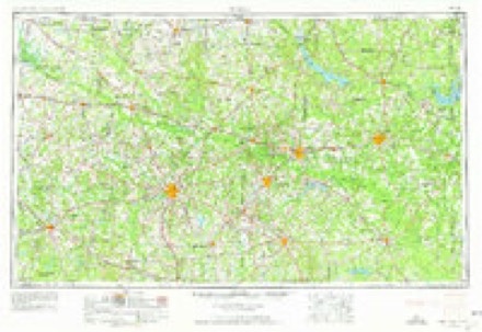
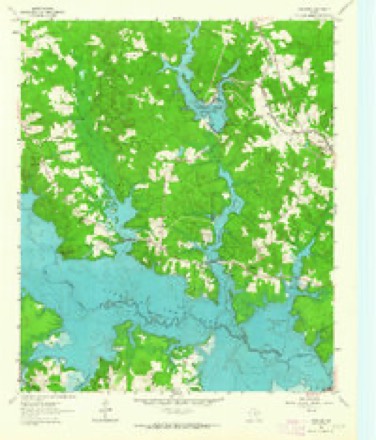
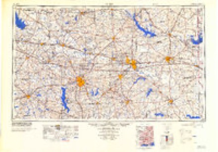
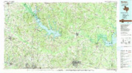
11 topographic sheets cover this place, the earliest surveyed in 1956 and the latest in 1986. It stands in the Lake O' the Pines census division. It lies in ZIP code area 75630. The Survey maps it on the Lassater quadrangle.
Topographic sheets covering this place
4 surveys from 11 printed sheetsMatched by testing this settlement's coordinate against the published boundary of every sheet in the United States Geological Survey's historical collection. Each opens the scanned sheet at the Survey.
- 1956 USGS Tyler quadrangle1:250000, 5 printings
- 1961 USGS Lassater quadrangle1:24000
- 1984 USGS Tyler quadrangle1:250000, 3 printings
- 1986 USGS Marshall quadrangle1:100000, 2 printings
Fires near this place
285 since 1992Regional context, not property-specific evidence. The federal wildfire occurrence database lists 285 fires within 5 miles of Orrs between 1992 and 2020, burning about 1,611 acres in total. 15 started naturally. 30 were recorded as arson. Distance is straight-line from the map coordinates, so a fire counted here may appear on a neighbouring settlement's page as well.
| Reported cause | Fires |
|---|---|
| Debris and open burning | 142 |
| Missing data/not specified/undetermined | 60 |
| Arson/incendiarism | 30 |
| Natural | 15 |
| Power generation/transmission/distribution | 12 |
| Equipment and vehicle use | 8 |
| Recreation and ceremony | 7 |
| Smoking | 6 |
| Railroad operations and maintenance | 4 |
| Misuse of fire by a minor | 1 |
The most recent of them, most recent first, with the day each was reported and the service that recorded it.
| Date | Cause | Size | Reported by | Name on the report |
|---|---|---|---|---|
| 9 September 1998 | Natural | 114 acres | Texas A & M Forest Service | not named |
| 7 September 2015 | Power generation/transmission/distribution | 1.0 acres | Texas A & M Forest Service | BOIS D' ARC |
| 6 September 2000 | Smoking | 1.0 acres | Texas A & M Forest Service | LINDEN - 376 |
| 4 September 2019 | Debris and open burning | under an acre | Texas A & M Forest Service | JACOB A. AMES |
| 30 September 2019 | Missing data/not specified/undetermined | under an acre | Texas A & M Forest Service | CORP. OF ENGINEERS |
| 30 September 2017 | Debris and open burning | 1.0 acres | Texas A & M Forest Service | 6167 |
| 28 September 2014 | Debris and open burning | 6.0 acres | Texas A & M Forest Service | 6200 |
| 28 September 2014 | Missing data/not specified/undetermined | 4.0 acres | Texas A & M Forest Service | 6198 |
Settlements close enough to share some of these fires:
Mines and quarries near this place
1 within 5 milesRegional context, not property-specific evidence. The federal mineral resources record lists 1 working within 5 miles of Orrs: 1 past producer. None of them still produces. What was taken out: Iron. Distance is straight-line from the map coordinates, so a quarry counted here may appear on a neighbouring settlement's page as well.
| Where | Site | Commodity | Status | Recorded |
|---|---|---|---|---|
| Orrs Switch-Lassater Deposits | Iron | Past Producer | Goethite, Hematite, Siderite |
Storms near this place
21 since 2008Regional context, not property-specific evidence. The National Weather Service names Orrs in 21 storm reports between 2008 and 2023: 12 thunderstorm wind, 7 hail, 1 flash flood, 1 tornado. The reports record 1 death and 8 injuries. Each account below is quoted exactly as the forecast office filed it, from the NOAA Storm Events Database, and each date opens the federal record of that event.
| When | Event | Place named | Harm | What the report says |
|---|---|---|---|---|
| March 2018 | Thunderstorm Wind | Orrs | 1 killed, 7 hurt, $300,000 | A NWS Storm Survey concluded that a swath of straight line downburst winds estimated between 80-90 mph produced widespread damage across the south side of Lake of the Pines, especially within the Brushy Creek Campground. Numerous trees were snapped or uprooted, with several trees landing on campers, tents, and vehicles. Of the nearly 238 registered campers at the campground, seven were treated for injuries, and one fatality occurred when a tree landed on a tent, killing a 41 year old female inside. |
| March 2022 | Tornado (EF2) | Orrs | 1 hurt, $350,000 | This is a continuation of the Upshur County EF-2 tornado. This tornado, which had weakened to an EF-1 with estimated maximum winds near 110 mph as it entered far Western Marion County, continued to track northeast across Jordan Drive and FM 729. The tornado damaged the roof of a home on Jordan Drive, with a metal building structure for storage of vehicles having two walls and its roof removed, lifting pillars and throwing them several hundred feet. Widespread tree damage was observed with hundreds of snapped trees. Off of FM 729, a manufactured home was picked up and rolled with an occupant in it. She suffered injuries and walked nearly a half mile to FM 729 to get to help. The tornado also significantly damaged or destroyed manufactured homes along Nash Farm Road. Winds from this tornado also caused three wooden power poles to lean significantly off of Morris County Cutoff Road, before the tornado crossed over into extreme Southeast Morris County. |
| April 2023 | Hail | Orrs | - | Quarter size hail fell just north of Lake O' the Pines. |
| April 2022 | Thunderstorm Wind | Orrs | - | A metal roof was peeled off of a home on Lakeside Place Road along Lake O' The Pines. |
| June 2020 | Thunderstorm Wind | Orrs | - | A tree was blown down off of FM 450 just south of Lake O' The Pines. |
| March 2019 | Thunderstorm Wind | Orrs | - | A large tree was blown down on Highway 729 near Lake O' the Pines. |
| June 2019 | Hail | Orrs | - | Quarter size hail fell six miles south of Avinger. |
| June 2019 | Hail | Orrs | - | A picture was posted to social media of golf ball size hail that fell on the north side of Lake O' the Pines. |
| June 2019 | Hail | Orrs | - | A picture was posted to social media of half dollar size hail that fell in the Johnson Creek area on Lake O' the Pines. |
| March 2018 | Hail | Orrs | - | Quarter size hail fell on the north side of Lake of the Pines. |
| March 2018 | Thunderstorm Wind | Orrs | - | Trees and power lines were blown down across the Island View community along the southwest shore of Lake of the Pines. Some trees were blown down on homes. A NWS Storm Survey concluded that straight line winds near 90 mph resulted in the widespread wind damage along the southern shore of Lake of the Pines. |
| March 2018 | Thunderstorm Wind | Orrs | - | Harleton Fire Dept. reported trees were blown down blocking Farm to Market Road 726 just southwest of Lake of the Pines in Southwest Marion County. |
| March 2018 | Thunderstorm Wind | Orrs | - | Harleton Fire Dept. reported trees that were blown down blocking Farm to Market Road 1968 near the Marion/Harrison County line. |
| March 2018 | Hail | Orrs | - | Interviews with campers at the Brushy Creek Campground on Lake of the Pines state that golf ball size hail fell around midnight shortly after the damaging downburst winds occurred, downing numerous trees in the park. |
| May 2017 | Hail | Orrs | - | Penny size hail fell along Lake O' the Pines. |
| May 2015 | Thunderstorm Wind | Orrs | - | Multiple trees were downed on Hwy 3612, 3503 and 3511. |
| April 2013 | Thunderstorm Wind | Orrs | - | Trees and powerlines were downed southwest of Avinger, Texas. |
| April 2012 | Thunderstorm Wind | Orrs | - | Trees were downed. |
| April 2012 | Thunderstorm Wind | Orrs | - | Trees were downed off of FM. 729 west of Jefferson. |
| July 2009 | Flash Flood | Orrs | - | Report of water completely covering the Josey County Road two miles southwest of Avinger, Texas. |
| April 2008 | Thunderstorm Wind | Orrs | - | Numerous trees and power lines were downed. |
Nearest settlements
The eight closest, with where each one stands in the county. Distances are straight-line, computed from the Geographic Names Information System coordinates.
| Map | Place | Distance | Sheets |
|---|---|---|---|
| Lassater | 1.3 miles | 11 | |
| Rock Springs | 3.6 miles | 11 | |
| Sarber | 3.7 miles | 13 | |
| Victory | 3.9 miles | 11 | |
| Warlock | 5.3 miles | 11 | |
| Mims Chapel | 5.6 miles | 13 | |
| White Oak | 6.4 miles | 13 | |
| Berea | 7.0 miles | 13 |
Provenance
This settlement is recorded in the Geographic Names Information System as feature 1378809. The sheet list is computed by point-in-boundary test against the United States Geological Survey's historical topographic inventory. Both are works of the United States government and carry no copyright under 17 U.S.C. 105.
Wildfire. Short, Karen C. 2022. Spatial wildfire occurrence data for the United States, 1992-2020 [FPA_FOD_20221014]. 6th Edition. Fort Collins, CO: Forest Service Research Data Archive. https://doi.org/10.2737/RDS-2013-0009.6 Collected with United States Government funding and usable without additional permissions or fees.
Mines and quarries. USGS Mineral Resources Data System (MRDS) https://mrdata.usgs.gov/mrds/ A work of the United States government, no copyright under 17 U.S.C. 105.
Storms. NOAA National Centers for Environmental Information, Storm Events Database https://www.ncei.noaa.gov/stormevents/ A work of the United States government, no copyright under 17 U.S.C. 105. Narratives are quoted verbatim from the National Weather Service report and are not edited or summarised.