 Block
BlockFrom the record
18 National Register listings published here.
Sources: the National Register database, National Park Service
30 topographic sheets cover 23 settlements here, and 18 properties are on the National Register of Historic Places.
18 National Register listings published here.
Sources: the National Register database, National Park Service
Every property in this county listed on the National Register of Historic Places, with the year it was listed and the federal nomination document.
| Photograph | Property | Type | Listed | Reference |
|---|---|---|---|---|
 | Alley-Carlson House | building | 1969 | 69000206 |
| Birge-Beard House | building | 1970 | 70000754 | |
 | Epperson-McNutt House | building | 1969 | 69000207 |
 | Excelsior Hotel | building | 1969 | 69000208 |
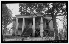 | Freeman Plantation House | building | 1969 | 69000209 |
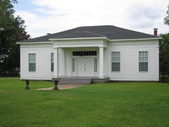 | Hodge-Taylor House | building | 1997 | 97000259 |
 | Jefferson Historic District | district | 1971 | 71000949 |
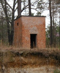 | Jefferson Ordnance Magazine | building | 1995 | 95000102 |
| Jefferson Playhouse | building | 1969 | 69000374 | |
 | Magnolias, The | building | 1971 | 71000951 |
 | Old U.S. Post Office and Courts Building | building | 1969 | 69000210 |
| Capt. William Perry House | building | 1970 | 70000755 | |
| Planters Bank Building | building | 1971 | 71000952 | |
 | Presbyterian Manse | building | 1969 | 69000211 |
 | Sedberry House | building | 1970 | 70000756 |
| Capt. William E. Singleton House | building | 1970 | 70000757 | |
 | Stilley-Young House | building | 2005 | 05001105 |
| Perry M. Woods House | building | 1971 | 71000953 |
Drawn when these were printed as single large sheets: the town seen from the air, and the county divided into its farms with every owner named. Each opens the original at the Library of Congress.

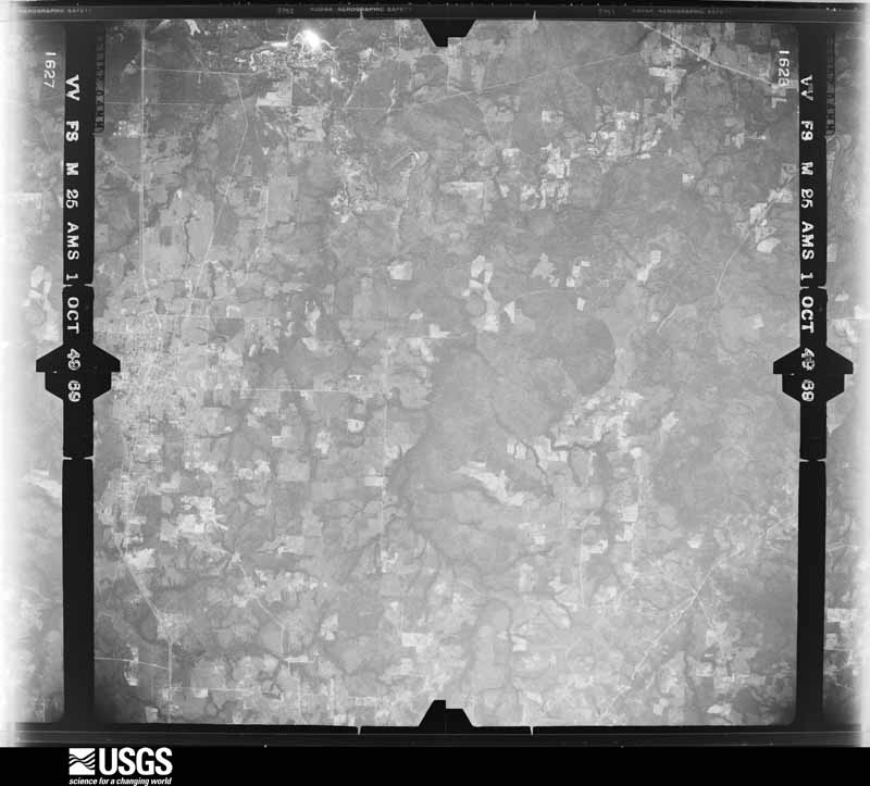
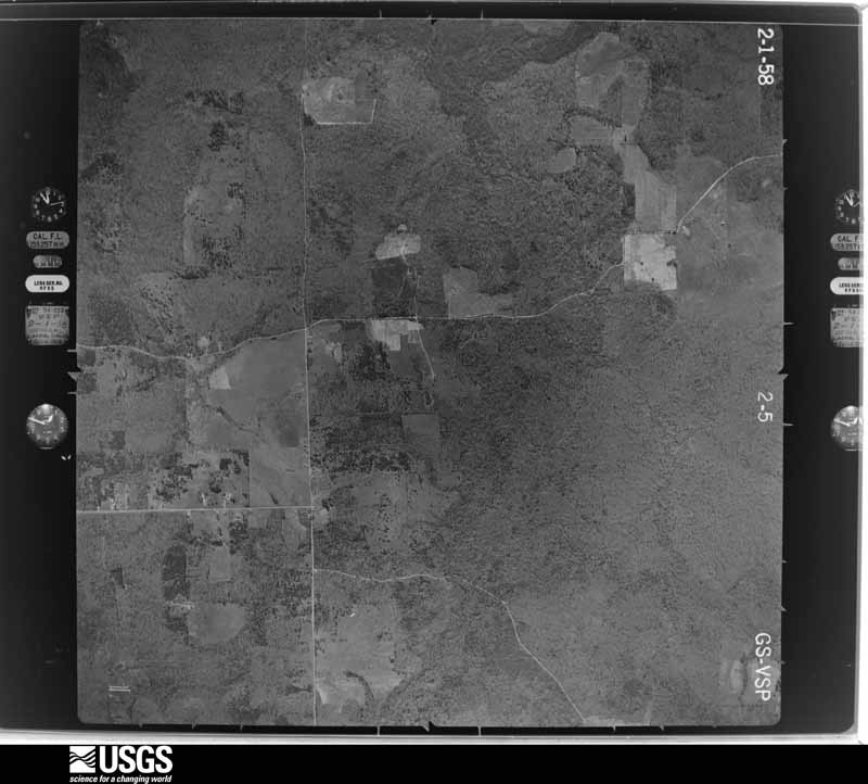
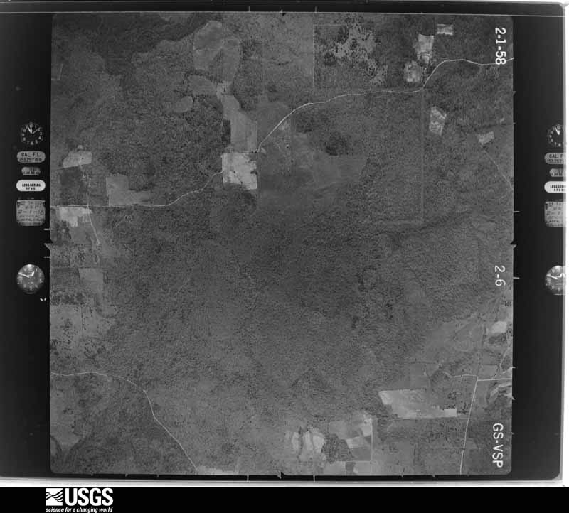
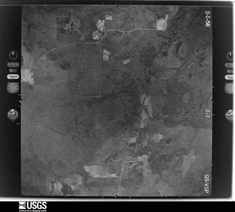
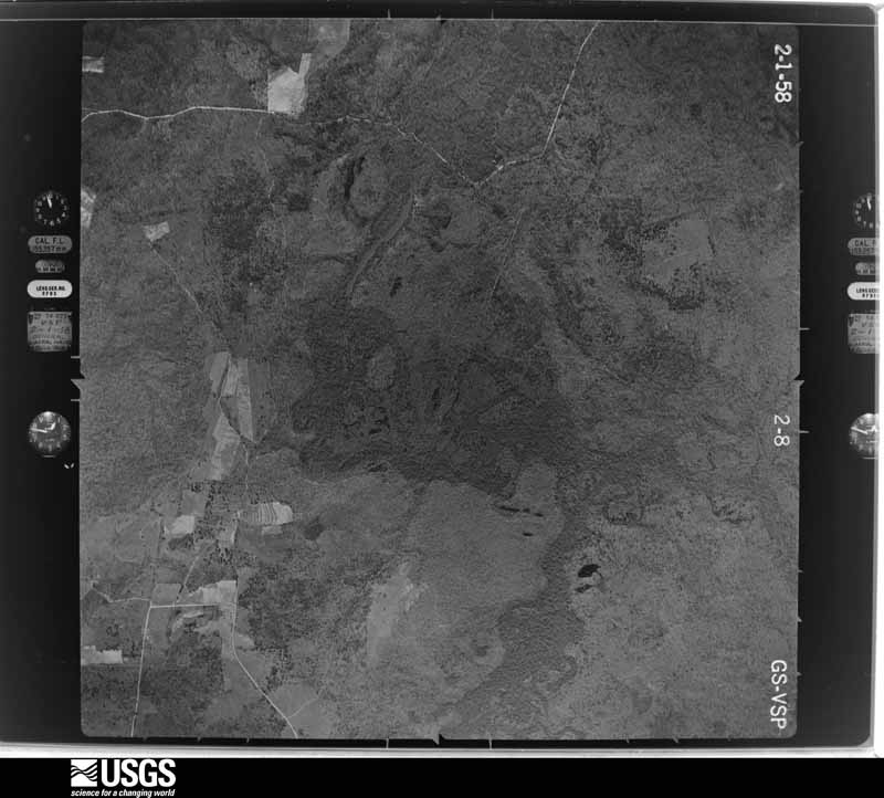
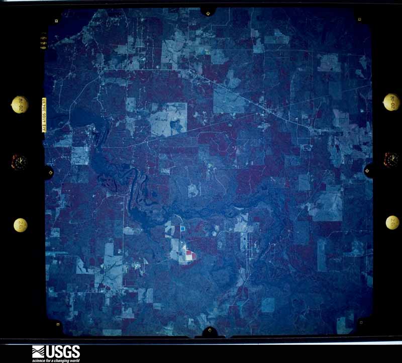
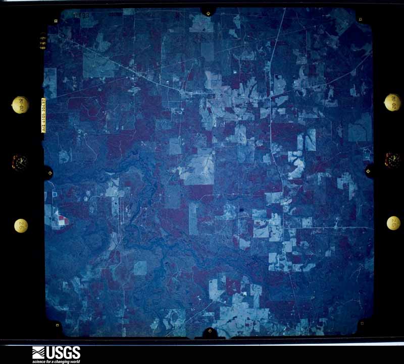
Flown by the U.S. Geological Survey between 1937 and 1989, the Aerial Photo Single Frames collection is the definitive mid-century view of the land: fields, roads and rivers as the camera saw them. The Survey holds 801 frames inside the rectangle that bounds this county; the 20 frames below were taken over the county itself, chosen across the decades of flights (at most four a year from that rectangle), so one flight cannot crowd out the rest. The full set is free to browse and download at EarthExplorer under the dataset Aerial Photo Single Frames.



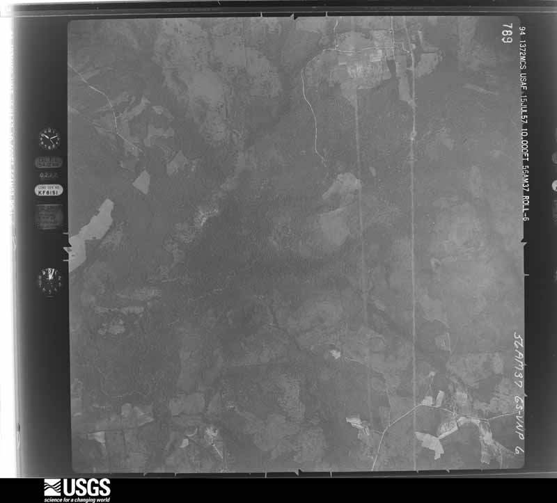
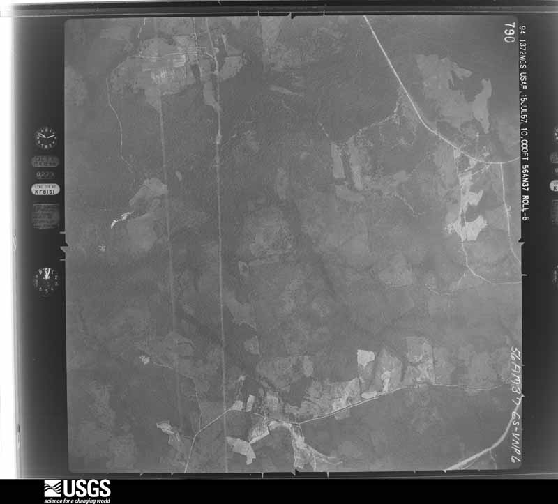
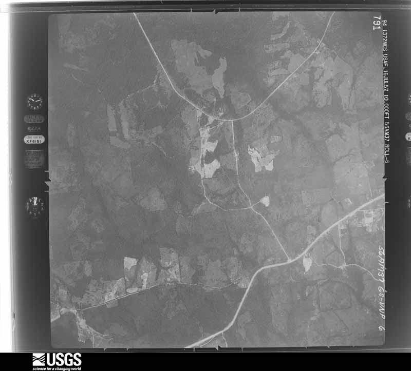
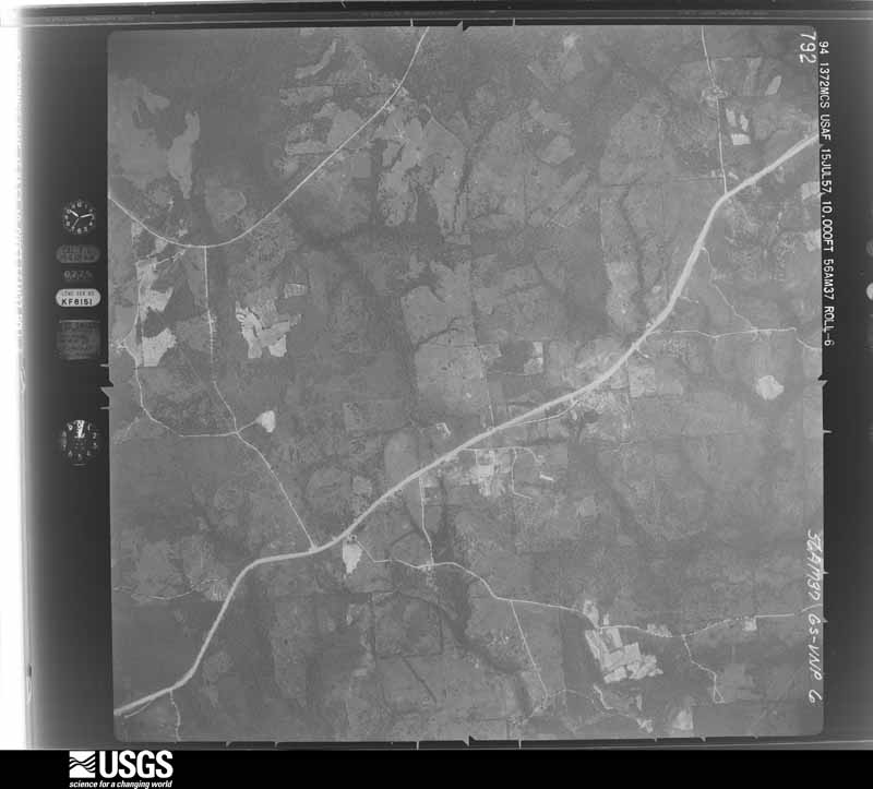






The thermometers that kept this county's weather, and the gages that measured the flow of its streams, as the federal records hold them. The extremes below are measured values from those records, not estimates.
Who lived here in 1950, one enumeration district at a time, as the Census Bureau described each district. Each row opens its official National Archives result, with Population Schedules and ED Maps available there.
Every wildfire the federal occurrence database records inside this county: 1,337 of them, burning about 11,072 acres. 74 started naturally and 122 were recorded as arson. Each settlement page carries the fires within five miles of it.
| Reported cause | Fires |
|---|---|
| Debris and open burning | 660 |
| Missing data/not specified/undetermined | 257 |
| Arson/incendiarism | 122 |
| Natural | 74 |
| Power generation/transmission/distribution | 61 |
| Equipment and vehicle use | 60 |
| Railroad operations and maintenance | 40 |
| Recreation and ceremony | 27 |
| Smoking | 23 |
| Misuse of fire by a minor | 9 |
| Fireworks | 3 |
| Other causes | 1 |
The five largest, by the area the report gives. Two of them were set deliberately.
| Date | Cause | Size | Reported by | Name on the report |
|---|---|---|---|---|
| 13 September 2011 | Arson/incendiarism | 2,378 acres | Texas A & M Forest Service | GETHSEMANE COMPLEX |
| 5 September 2011 | Arson/incendiarism | 1,048 acres | Texas A & M Forest Service | BOOT WALKER FIRE |
| 13 February 1996 | Missing data/not specified/undetermined | 250 acres | Texas A & M Forest Service | not named |
| 12 March 2005 | Recreation and ceremony | 138 acres | Texas A & M Forest Service | LINDEN - 71 |
| 5 October 2008 | Missing data/not specified/undetermined | 130 acres | Texas A & M Forest Service | LINDEN - 164 |
| 10 March 2006 | Natural | 115 acres | Texas A & M Forest Service | LINDEN - ORE CITY NORTH |
| 9 September 1998 | Natural | 114 acres | Texas A & M Forest Service | not named |
| 30 July 1998 | Missing data/not specified/undetermined | 106 acres | Texas A & M Forest Service | not named |
Every settlement page carries the fires within five miles of it - see the settlement index below.
The NOAA Storm Events Database holds 283 reports for this county, causing 1 death, 12 injuries and about $5,743,250 in recorded property damage. Each settlement page carries the reports that name it.
| Kind of event | Reports |
|---|---|
| Thunderstorm Wind | 154 |
| Hail | 100 |
| Tornado | 23 |
| Flash Flood | 6 |
The most serious of them, by death, then injury, then recorded damage. The accounts are quoted exactly as the forecast office filed them.
| When | Event | Place named | Harm | What the report says |
|---|---|---|---|---|
| March 2018 | Thunderstorm Wind | Orrs | 1 killed, 7 hurt, $300,000 | A NWS Storm Survey concluded that a swath of straight line downburst winds estimated between 80-90 mph produced widespread damage across the south side of Lake of the Pines, especially within the Brushy Creek Campground. Numerous trees were snapped or uprooted, with several trees landing on campers, tents, and vehicles. Of the nearly 238 registered campers at the campground, seven were treated for injuries, and one fatality occurred when a tree landed on a tent, killing a 41 year old female inside. |
| March 2026 | Tornado (EF2) | Berea | 2 hurt, $500,000 | Early on the morning of March 7th, a severe thunderstorm produced an EF2 tornado with estimated maximum winds near 115 mph near the community of Prospect in Northern Marion County, Texas. The tornado initially touched down just west of U.S. Highway 59 where multiple snapped trunks of hardwood trees were noted. As the tornado continued east, it heavily damaged several structures. A residential home west of the highway was damaged by a fallen tree. Next to the home, a barn was completely destroyed, with only the wooden frame remaining. Debris from the barn along with the barn's contents were strewn across the front yard and into the highway median and onto the northbound side of the highway. Just to the east of U.S. Highway 59, another residential home experienced significant damage after being shifted feet away from its foundation. Several large hardwood trees were also uprooted and fell onto a nearby shed. Just north of this home, another home experienced tornado damage. In the backyard of this home, a small shed was completely destroyed, with contents strewn across the yard, along with damage to vehicles. At this residence, a camper was tossed and rolled into another nearby shed, where multiple occupants were thrown about and injured. The tornado continued east/northeast, snapping and uprooting numerous trees before moving into additional residential areas on East Prospect Road. Here, additional damage to several roofs was noted, sheds and barns experienced significant damage, along with major hardwood tree snaps and downed power lines. The tornado weakened as it moved northeast away from East Prospect Road and crossed Scotts Bayou. Some tree damage was found along Hall Road before the tornado then lifted as it moved east along East CC Road and toward the town of Lodi. |
| April 1979 | Tornado (F2) | not stated | 1 hurt, $2,500,000 | no account filed |
| January 2017 | Tornado (EF2) | Smithland | 1 hurt, $800,000 | An EF-2 tornado with maximum winds estimated near 130 mph touched down near Highway 49 just west of the Smithland community, snapping and uprooting numerous trees and downing power lines as it tracked northeast across Highway 43 just north of its intersection of Highway 49. As it crossed Highway 43, the tornado moved several vehicles, completely debarked 3-4 trees about 25-30 feet above the ground, and threw a party barge about 200 yards into a grove of trees. Trees were also downed on a few homes and a travel trailer was flipped over. The tornado continued northeast crossing County Road 3300, where it removed a roof of a home and shifted the home slightly off of its pad. A 75 year old woman inside this home took shelter inside a bathtub before the tornado ripped the tub out of the home and deposited it into some nearby woods. The woman suffered only some cuts and bruises but was able to walk away. The tornado continued northeast crossing County Road 3306 two different times, before entering far southeast Cass County on County Road 4455. This tornado remained on the ground as it entered western Caddo Parish Louisiana. |
| March 2022 | Tornado (EF2) | Orrs | 1 hurt, $350,000 | This is a continuation of the Upshur County EF-2 tornado. This tornado, which had weakened to an EF-1 with estimated maximum winds near 110 mph as it entered far Western Marion County, continued to track northeast across Jordan Drive and FM 729. The tornado damaged the roof of a home on Jordan Drive, with a metal building structure for storage of vehicles having two walls and its roof removed, lifting pillars and throwing them several hundred feet. Widespread tree damage was observed with hundreds of snapped trees. Off of FM 729, a manufactured home was picked up and rolled with an occupant in it. She suffered injuries and walked nearly a half mile to FM 729 to get to help. The tornado also significantly damaged or destroyed manufactured homes along Nash Farm Road. Winds from this tornado also caused three wooden power poles to lean significantly off of Morris County Cutoff Road, before the tornado crossed over into extreme Southeast Morris County. |
| January 2017 | Tornado (EF1) | Kelleyville | $250,000 | An EF-1 tornado with winds estimated near 100 mph touched down along Kellyville Cutoff Road south of Farm-To-Market Road 729 in the Kellyville community. This tornado travelled north and crossed FM 729 along Kellyville Cutoff Road, snapping and uprooting numerous trees and downing power lines along the tornado's path. Much of the damage occurred along Kellyville Cutoff Road between FM 729 and Highway 49, where one home was damaged and the roof removed from a single wide mobile home. One large tree also fell on a metal workshop near Highway 49 before lifting just shy of the Berea community. |
| September 2009 | Flash Flood | North Jefferson | $250,000 | Several local business in town experienced flood damage from the excessive heavy rainfall that fell during the day. Several city streets were closed as well. The Bakery Restaurant along with the Jefferson Jimplecute and numerous other buildings in town suffered water damage when city pumps couldn't handle the excessive heavy rainfall. The worst flooding occurred along Austin, Polk, Walnut and Soda Streets but there was some water damage to Parker and Parker CPAs and the Otstott and Jaminson law firms on Lafayette Street. |
| April 1961 | Tornado (F2) | not stated | $250,000 | no account filed |
| December 2012 | Thunderstorm Wind | Jefferson | $100,000 | The roof was taken off a home by strong winds in Jefferson, Texas. There were no reports of injuries. |
| May 2008 | Flash Flood | North Jefferson | $100,000 | Excessive heavy rainfall resulted in numerous road closures throughout the town. Very high water with stalled vehicles were reported at Henderson Street and Canal Street. |
| May 2015 | Thunderstorm Wind | Gray | $75,000 | National Weather Service Storm Survey Team determined that damage across eastern Marion County was a result of straight line wind damage near 90 mph. This is a continuation of the storm that produced damage earlier across Karnack and Uncertain, Texas. The storm crossed Caddo Lake and again produced numerous trees and powerlines downed east of Smithland Texas. Some structures also had trees on them. |
| May 1993 | Hail | Jefferson | $50,000 | Hail damage to cars. |
| June 2008 | Thunderstorm Wind | Jefferson | $30,000 | A tree was downed along Highway 49 and on Pine Hill Drive in Jefferson, Texas. The Rusty Rail Golf Club suffered roof damage to the clubhouse as well as some damage from fallen trees to the golf course. |
| March 2023 | Tornado (EF1) | Kelleyville | $25,000 | This EF-1 tornado, with estimated maximum winds near 105 mph, affected the Kellyville community west/northwest of Jefferson, and it mainly tracked north along Kellyville Road. The tornado was as its strongest and widest as it crossed State Highway 49. A majority of the damage was to trees through a combination of uprooting and trunk snapping. There were a few outbuildings damaged or mostly destroyed by the wind with some homes and other structures damaged, mainly due to impact from large limbs and trees falling on top of them. Fortunately, there were no injuries or fatalities associated with the tornado. |
| April 2015 | Thunderstorm Wind | Jefferson | $25,000 | A tree was downed on a home resulting in minor to moderate damage in Jefferson, Texas. |
| December 2012 | Thunderstorm Wind | Smithland | $25,000 | Damaging wind gusts blew the roof off a porch of a home on CR. 3300 near the Smithland community just north of Hwy. 49. |
| April 2002 | Thunderstorm Wind | Berea | $25,000 | Several large trees toppled. Two homes were damaged by falling trees. |
| August 1994 | Thunderstorm Wind | Jefferson | $5,000 | Trees were blown down by thunderstorm winds. |
| August 1994 | Thunderstorm Wind | Smithland | $5,000 | Trees were blown down by thunderstorm winds. |
| October 1994 | Thunderstorm Wind | Jefferson | $5,000 | Trees were blown down. |
| November 1994 | Thunderstorm Wind | Jefferson | $5,000 | Trees were blown down by high winds. |
| November 1994 | Thunderstorm Wind | Jefferson | $5,000 | Trees blown down by high winds blocked Highway 47 east of Jefferson. |
| May 1994 | Thunderstorm Wind | Lake O' the Pines | $5,000 | At the Big Cypress Marina thunderstorm winds blew trees down onto cars, and camping equipment was blown into the lake. |
| May 1994 | Thunderstorm Wind | Lake O' the Pines | $5,000 | Several trees were blown down where FM 729 crosses Hurricane Creek. |
| August 1994 | Thunderstorm Wind | Kelleyville | $5,000 | Trees were blown down by thunderstorm winds. |
| August 1994 | Thunderstorm Wind | Lake O' the Pines | $5,000 | Trees were blown down by thunderstorm winds. |
| April 1994 | Thunderstorm Wind | Jefferson | $5,000 | Numerous trees were blown down 5 S Jefferson. |
| May 1994 | Thunderstorm Wind | Prospect | $5,000 | Several trees were blown down by thunderstorm winds. |
| May 1994 | Thunderstorm Wind | Smithland | $5,000 | Sixty mph winds blew down trees and damaged a barn. |
| May 1994 | Thunderstorm Wind | Lassiter | $5,000 | Trees were blown down by thunderstorm winds. |
| August 1993 | Thunderstorm Wind | Jefferson | $5,000 | Numerous trees were blown down by thunderstorm winds. |
| January 1993 | Thunderstorm Wind | Jefferson | $5,000 | Trees and power lines were downed on highway 47. |
| August 1993 | Thunderstorm Wind | Kellyville | $5,000 | Trees were blown down by thunderstorm winds. |
| February 1995 | Thunderstorm Wind | Berea | $3,000 | Power lines and tree limbs were blown down by high winds. |
| December 1968 | Tornado (F1) | not stated | $2,500 | no account filed |
| April 1964 | Tornado (F0) | not stated | $2,500 | no account filed |
| March 1970 | Tornado (F2) | not stated | $250 | no account filed |
| April 2025 | Hail | North Jefferson | - | Nickel size hail fell just west of Jefferson. |
| March 2024 | Flash Flood | North Jefferson | - | Highway 49 from the northeast side of Jefferson to County Road 248 was flooded and closed. |
| March 2024 | Flash Flood | Smithland | - | Parts of Highway 43 near Smithland were flooded. |
| June 2024 | Thunderstorm Wind | Jefferson | - | A few buildings in Jefferson sustained roof removal due to high winds. |
| April 2024 | Thunderstorm Wind | Jefferson | - | Numerous trees and power lines downed in Jefferson. |
| April 2024 | Thunderstorm Wind | Stalls | - | Multiple large trees downed northeast of Jefferson. |
| March 2023 | Thunderstorm Wind | Jefferson | - | Numerous trees downed across parts of Marion County. |
| April 2023 | Hail | Orrs | - | Quarter size hail fell just north of Lake O' the Pines. |
| June 2023 | Thunderstorm Wind | Jefferson | - | Widespread reports of trees and power lines downed throughout Marion County. |
| July 2023 | Thunderstorm Wind | Kelleyville | - | Scattered trees and power lines were downed across Marion County. |
| September 2023 | Thunderstorm Wind | Stalls | - | A tree was downed on FM Road 1324. |
| September 2023 | Thunderstorm Wind | Lodi | - | A tree was downed on FM Road 2683. |
| April 2022 | Thunderstorm Wind | Orrs | - | A metal roof was peeled off of a home on Lakeside Place Road along Lake O' The Pines. |
| May 2022 | Thunderstorm Wind | Smithland | - | Tree downed on Highway 43. |
| July 2022 | Thunderstorm Wind | Jefferson | - | Numerous trees, power lines, and power poles downed across the city of Jefferson. |
| July 2022 | Thunderstorm Wind | Jefferson | - | A large tree fell onto a boat house and boats along Big Cypress Bayou at the Turning Basin Riverboat Tours facility on the southeast side of Jefferson. |
| December 2021 | Thunderstorm Wind | North Jefferson | - | A power line was blown down onto a tree causing the tree to catch on fire. |
| April 2020 | Hail | Pruett | - | Quarter size hail fell about 9 miles north of Jefferson on Highway 59. |
| July 2020 | Thunderstorm Wind | North Jefferson | - | A tree was blown down onto power lines on Highway 49 near FM 728 west of Jefferson. Another tree was blown down on FM 729 west of Jefferson. |
| June 2020 | Thunderstorm Wind | Orrs | - | A tree was blown down off of FM 450 just south of Lake O' The Pines. |
| June 2020 | Thunderstorm Wind | Lassater | - | Several trees were blown down in the Pine Harbor neighborhood near Lake O' The Pines. |
| January 2020 | Thunderstorm Wind | Smithland | - | Trees were downed across the intersection of Highway 49 and Shady Grove Road. |
| March 2019 | Thunderstorm Wind | Orrs | - | A large tree was blown down on Highway 729 near Lake O' the Pines. |
The Survey's mineral resources record lists 4 workings inside this county. 1 still produces and 3 are closed or unrecorded. Each settlement page carries the workings within five miles of it.
| Commodity | Workings |
|---|---|
| Iron | 3 |
| Stone, Crushed/Broken | 1 |
The least common of them first, because a county's hundredth gravel pit says nothing its first ten did not.
| Where | Site | Commodity | Status | Recorded |
|---|---|---|---|---|
| General Dredging Corp Shell Dredge | Stone, Crushed/Broken | Producer | ||
| Gilbert Deposits | Iron | Past Producer | 1855 | |
| Kelley Mine | Iron | Past Producer | 1869 | |
| Orrs Switch-Lassater Deposits | Iron | Past Producer | Goethite, Hematite, Siderite |
Named settlements recorded in the Geographic Names Information System, each with the topographic sheets covering it. Villages, hamlets and abandoned places alike. Each is shown with the nearest named watercourse or landform and the survey quadrangle it falls on.
Lake O' the Pines census division · 75657 · Kellyville quadrangle
13 sheets, 1956 to 1986
Jefferson census division · 75657 · On Hunts Creek · Trees quadrangle
14 sheets, 1944 to 1986
Lake O' the Pines census division · 75657 · On Johnson Creek · Lassater quadrangle
11 sheets, 1956 to 1986
Lake O' the Pines census division · 75630 · On Alley Creek · Lassater quadrangle
11 sheets, 1956 to 1986
Lake O' the Pines census division · 75657 · On Mill Creek · Kellyville quadrangle
13 sheets, 1956 to 1986