 Block
BlockPalmetal, Texas
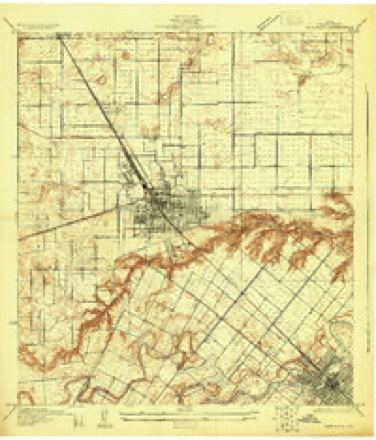
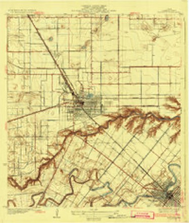
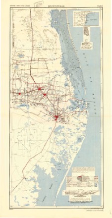
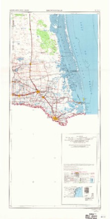
13 topographic sheets cover this place, the earliest surveyed in 1929 and the latest in 1992. It stands in the Harlingen-San Benito census division. It lies in ZIP code area 78550. It stands on Little Creek. The Survey maps it on the Harlingen quadrangle.
Topographic sheets covering this place
8 surveys from 13 printed sheetsMatched by testing this settlement's coordinate against the published boundary of every sheet in the United States Geological Survey's historical collection. Each opens the scanned sheet at the Survey.
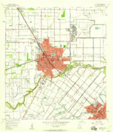
- 1929 USGS Harlingen quadrangle1:24000
- 1932 USGS Harlingen quadrangle1:31680, 3 printings
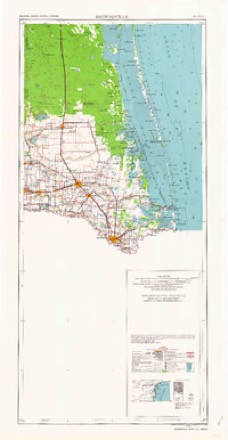
- 1953 USGS Brownsville quadrangle1:250000
- 1956 USGS Brownsville quadrangle1:250000, 2 printings
- 1956 USGS Harlingen quadrangle1:24000, 3 printings
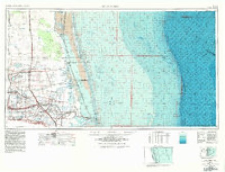
- 1956 USGS Port Isabel quadrangle1:250000
- 1962 USGS Brownsville quadrangle1:250000
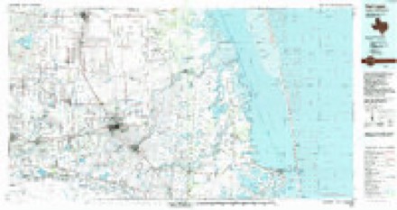
- 1992 USGS Harlingen quadrangle1:100000
Fires near this place
51 since 1996Regional context, not property-specific evidence. The federal wildfire occurrence database lists 51 fires within 5 miles of Palmetal between 1996 and 2018, burning about 207 acres in total. None started naturally. 1 was recorded as arson. Distance is straight-line from the map coordinates, so a fire counted here may appear on a neighbouring settlement's page as well.
| Reported cause | Fires |
|---|---|
| Missing data/not specified/undetermined | 33 |
| Debris and open burning | 11 |
| Power generation/transmission/distribution | 4 |
| Smoking | 1 |
| Arson/incendiarism | 1 |
| Equipment and vehicle use | 1 |
The most recent of them, most recent first, with the day each was reported and the service that recorded it.
| Date | Cause | Size | Reported by | Name on the report |
|---|---|---|---|---|
| 18 September 2018 | Debris and open burning | under an acre | Texas A & M Forest Service | PRIMERA COMMAND |
| 1 September 2018 | Debris and open burning | under an acre | Texas A & M Forest Service | PALOMA BLANCA COMMAND |
| 5 July 2018 | Missing data/not specified/undetermined | under an acre | Texas A & M Forest Service | WILSON COMMAND |
| 4 July 2005 | Debris and open burning | 35 acres | South Texas Refuge Complex | JULY 4TH |
| 11 July 2009 | Missing data/not specified/undetermined | 1.0 acres | South Texas Refuge Complex | REYNOLDS |
| 12 June 2007 | Debris and open burning | under an acre | South Texas Refuge Complex | MILO |
| 11 June 2018 | Missing data/not specified/undetermined | under an acre | Texas A & M Forest Service | HARRISON COMMAND |
| 10 June 2018 | Missing data/not specified/undetermined | under an acre | Texas A & M Forest Service | HARRISON COMMAND |
Settlements close enough to share some of these fires:
Storms near this place
12 since 2009Regional context, not property-specific evidence. The National Weather Service names Palmetal in 12 storm reports between 2009 and 2024: 4 flood, 3 thunderstorm wind, 3 heavy rain, 1 funnel cloud. No death or injury is recorded in these reports. Each account below is quoted exactly as the forecast office filed it, from the NOAA Storm Events Database, and each date opens the federal record of that event.
| When | Event | Place named | Harm | What the report says |
|---|---|---|---|---|
| September 2024 | Flash Flood | Palmetal | $15,000 | Harlingen PD received numerous reports of flooded roads during the mid to late afternoon. These included: Fair Park Blvd, the intersection of 7th and M St, Spur 5 and Frontage, Eye St, intersection of J St and Fair Park Blvd, Bowie Ave and 25th St, Frontage Rd. at Primera Rd exit to Wilson Rd, Le Moyne Garden, and Emerald Lake Dr. Texas Department of Transportation was notified and road closures began during the event, with water reported halfway up cars in some spots. |
| April 2023 | Thunderstorm Wind | Palmetal | - | The ASOS station at Valley International Airport in Harlingen recorded a wind gust of 53 knots at 1:14AM CDT. Additional wind gusts over 50 knots were recorded between 1:14AM CDT and 1:22AM CDT. |
| October 2021 | Flood | Palmetal | - | Report received from public of several inches of water topping the curbs at the intersection of Business 77 and Harrison Road in Harlingen. |
| October 2021 | Flood | Palmetal | - | Picture received from public of Madison Ave in Harlingen under several inches of water. Exact depth unknown at this time. |
| October 2021 | Flood | Palmetal | - | Video received from the public of water covering US-77/Sunshine Strip near the VA Health Center in Harlingen. Water was reaching up to the bumpers of some sedans. |
| October 2021 | Funnel Cloud | Palmetal | - | Video received from public of a tropical funnel cloud near Exit 23A on I-69E in Harlingen. |
| June 2019 | Flood | Palmetal | - | Spotters and local law enforcement reported sporadic street flooding in southeast and east Harlingen after torrential thunderstorm rains dumped 2 to 3 inches in about an hour. Minor street flooding was most common along Ed Carey Blvd. (FM Loop 499) and U.S. Highway 77 (business) between Hale Avenue and Sam Houston Drive. No significant property damage was reported. |
| September 2014 | Heavy Rain | Palmetal | - | A slow moving band of torrential rain/thunderstorms created areas of nuisance urban flooding from the west side of Brownsville through San Benito and parts of Harlingen during the mid afternoon of September 13th, 2014. Generally less than 2 feet of water flooded typically poor drainage roads in the area during and just after the peak of the heavy rains. In total, the band produced 2 to 3 inches of rain in a roughly 3 hour period. |
| November 2013 | Heavy Rain | Palmetal | - | More than 5 inches of rain fell across portions of Harlingen during a 5 hour period causing localized flooding of low lying and poor drainage spots. Local law enforcement reported water over a lower bridge on Breedlove Street, water over the road at the intersection of Polk Avenue and Highway 77, on Hayne, Tomas Lane and Marck Circle. There were numerous reports on social media reporting water over the road at the intersection of Ed Carey and Business 77/Sunshine Strip. |
| February 2012 | Heavy Rain | Palmetal | - | Thunderstorms dumped measured and estimated 1 1/2 inches of rainfall in central Cameron County during the late afternoon of February 4th, resulting in pockets of poor drainage flooding from near Harlingen through San Benito to Brownsville. Cameron County Emergency Management reported 4 inches of standing water on US 281 (Military Highway) in West Brownsville, temporarily closing two lanes of the highway. |
| May 2009 | Thunderstorm Wind | Palmetal | - | A trained spotter reported they had estimated a wind gust up to approximately 60 miles per hour during a thunderstorm approximately 5 miles southwest of the Harlingen Airport. |
| September 2009 | Thunderstorm Wind | Palmetal | - | ASOS reported wind gusts to 60 miles per hour during a thunderstorm that moved through Cameron County. |
Nearest settlements
The eight closest, with where each one stands in the county. Distances are straight-line, computed from the Geographic Names Information System coordinates.
| Map | Place | Distance | Sheets |
|---|---|---|---|
| Harlingen | 1.8 miles | 13 | |
| Arroyo Colorado Estates Colonia | 3.0 miles | 13 | |
| Port Harlingen | 3.3 miles | 13 | |
| Bonnaville Terrace Colonia | 3.4 miles | 13 | |
| Avondale | 3.4 miles | 13 | |
| Palacios Estates Colonia | 3.4 miles | 13 | |
| Fred Adams Colonia | 3.5 miles | 13 | |
| Juarez Colonia | 3.7 miles | 13 |
Elsewhere
Matched on this settlement's Geographic Names Information System number rather than its name, so it cannot be a different place of the same name in another state.
| Wikidata item Q122553928 | The structured record the population and elevation above come from. Public domain (CC0). |
Provenance
This settlement is recorded in the Geographic Names Information System as feature 1378823. The sheet list is computed by point-in-boundary test against the United States Geological Survey's historical topographic inventory. Both are works of the United States government and carry no copyright under 17 U.S.C. 105.
Wildfire. Short, Karen C. 2022. Spatial wildfire occurrence data for the United States, 1992-2020 [FPA_FOD_20221014]. 6th Edition. Fort Collins, CO: Forest Service Research Data Archive. https://doi.org/10.2737/RDS-2013-0009.6 Collected with United States Government funding and usable without additional permissions or fees.
Storms. NOAA National Centers for Environmental Information, Storm Events Database https://www.ncei.noaa.gov/stormevents/ A work of the United States government, no copyright under 17 U.S.C. 105. Narratives are quoted verbatim from the National Weather Service report and are not edited or summarised.