 Block
BlockPapalote Llano, Texas
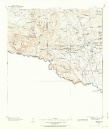
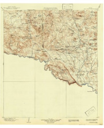
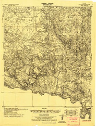
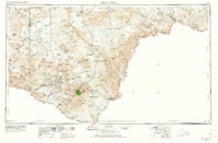
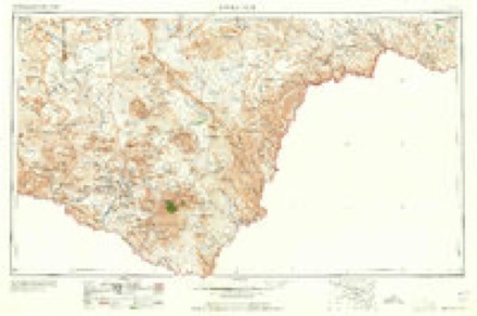
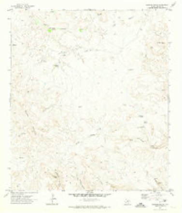
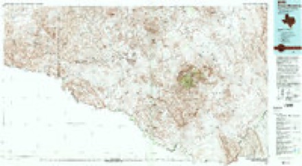
16 topographic sheets cover this place, the earliest surveyed in 1903 and the latest in 1985. It stands in the Presidio census division. It lies in ZIP code area 79846. The Survey maps it on the Sauceda Ranch quadrangle.
Topographic sheets covering this place
7 surveys from 16 printed sheetsMatched by testing this settlement's coordinate against the published boundary of every sheet in the United States Geological Survey's historical collection. Each opens the scanned sheet at the Survey.
- 1903 USGS Terlingua quadrangle1:125000
- 1904 USGS Terlingua quadrangle1:125000, 5 printings
- 1931 USGS Lajitas quadrangle1:62500
- 1959 USGS Emory Peak quadrangle1:250000, 3 printings
- 1965 USGS Emory Peak quadrangle1:250000
- 1971 USGS Sauceda Ranch quadrangle1:24000, 2 printings
- 1985 USGS Chisos Mountains quadrangle1:100000, 3 printings
Nearest settlements
The eight closest, with where each one stands in the county. Distances are straight-line, computed from the Geographic Names Information System coordinates.
| Map | Place | Distance | Sheets |
|---|---|---|---|
| Papalote Seco | 2.8 miles | 16 | |
| Papalote Escondido | 4.1 miles | 16 | |
| Papalote Colorado | 5.5 miles | 11 | |
| Redford | 12.9 miles | 11 | |
| Polvo | 13.1 miles | 11 | |
| Loma Pelona | 20.2 miles | 13 | |
| Fort Leaton (historical) | 21.3 miles | 13 | |
| Casa Piedra | 21.8 miles | 12 |
Elsewhere
Matched on this settlement's Geographic Names Information System number rather than its name, so it cannot be a different place of the same name in another state.
| Wikidata item Q122558355 | The structured record the population and elevation above come from. Public domain (CC0). |
Provenance
This settlement is recorded in the Geographic Names Information System as feature 1378835. The sheet list is computed by point-in-boundary test against the United States Geological Survey's historical topographic inventory. Both are works of the United States government and carry no copyright under 17 U.S.C. 105.