 Block
BlockPleasant Hill, Texas
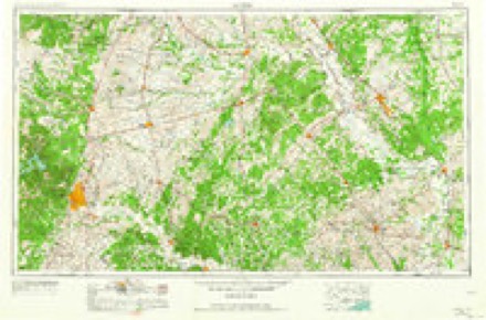
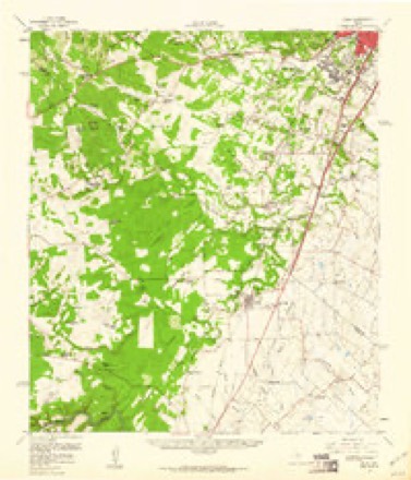
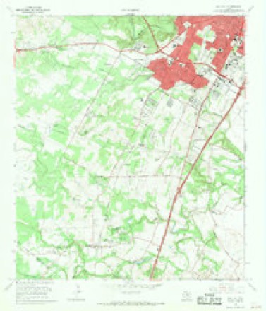
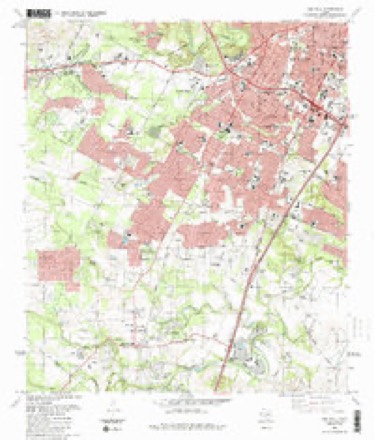
18 topographic sheets cover this place, the earliest surveyed in 1896 and the latest in 1988. It stands in the Austin census division. It lies in ZIP code area 78745. The Survey maps it on the Oak Hill quadrangle.
Topographic sheets covering this place
9 surveys from 18 printed sheetsMatched by testing this settlement's coordinate against the published boundary of every sheet in the United States Geological Survey's historical collection. Each opens the scanned sheet at the Survey.
- 1896 USGS Austin quadrangle1:125000
- 1897 USGS Austin quadrangle1:125000
- 1910 USGS Austin quadrangle1:125000, 3 printings
- 1954 USGS Austin quadrangle1:250000, 4 printings
- 1955 USGS Oak Hill quadrangle1:24000
- 1958 USGS Buda quadrangle1:62500, 2 printings
- 1966 USGS Oak Hill quadrangle1:24000, 2 printings
- 1985 USGS Austin quadrangle1:100000, 3 printings
- 1988 USGS Oak Hill quadrangle1:24000





Fires near this place
130 since 2005Regional context, not property-specific evidence. The federal wildfire occurrence database lists 130 fires within 5 miles of Pleasant Hill between 2005 and 2020, burning about 157 acres in total. None started naturally. 7 were recorded as arson. Distance is straight-line from the map coordinates, so a fire counted here may appear on a neighbouring settlement's page as well.
| Reported cause | Fires |
|---|---|
| Missing data/not specified/undetermined | 82 |
| Smoking | 18 |
| Misuse of fire by a minor | 10 |
| Debris and open burning | 7 |
| Arson/incendiarism | 7 |
| Equipment and vehicle use | 3 |
| Railroad operations and maintenance | 2 |
| Recreation and ceremony | 1 |
The most recent of them, most recent first, with the day each was reported and the service that recorded it.
| Date | Cause | Size | Reported by | Name on the report |
|---|---|---|---|---|
| 9 September 2007 | Missing data/not specified/undetermined | 1.0 acres | Texas A & M Forest Service | not named |
| 9 September 2006 | Missing data/not specified/undetermined | 1.0 acres | Texas A & M Forest Service | not named |
| 9 September 2006 | Missing data/not specified/undetermined | 1.0 acres | Texas A & M Forest Service | not named |
| 3 September 2006 | Missing data/not specified/undetermined | 1.0 acres | Texas A & M Forest Service | not named |
| 28 September 2008 | Missing data/not specified/undetermined | 1.0 acres | Texas A & M Forest Service | not named |
| 27 September 2007 | Missing data/not specified/undetermined | 1.0 acres | Texas A & M Forest Service | not named |
| 15 September 2008 | Smoking | 2.0 acres | Texas A & M Forest Service | not named |
| 13 September 2006 | Missing data/not specified/undetermined | 1.0 acres | Texas A & M Forest Service | not named |
Settlements close enough to share some of these fires:
Mines and quarries near this place
6 within 5 milesRegional context, not property-specific evidence. The federal mineral resources record lists 6 workings within 5 miles of Pleasant Hill: 4 producers, 2 past producers. 4 still produce. What was taken out: Stone, Crushed/Broken, Limestone, General, Stone, Crushed/Broken, Limestone, General. Distance is straight-line from the map coordinates, so a quarry counted here may appear on a neighbouring settlement's page as well.
| Where | Site | Commodity | Status | Recorded |
|---|---|---|---|---|
| Booth Quarry | Limestone, General | Producer | Limestone | |
| Unnamed Quarry | Limestone, General, Stone, Crushed/Broken | Producer | Limestone | |
| Unnamed Quarry | Limestone, General, Stone, Crushed/Broken | Producer | Limestone | |
| Dean Word Company Abandoned Pit | Stone, Crushed/Broken | Past Producer | ||
| Dean Word Company Operation | Stone, Crushed/Broken | Producer | ||
| Lawson Booth Abandoned Pit | Stone, Crushed/Broken | Past Producer |
Storms near this place
14 since 2008Regional context, not property-specific evidence. The National Weather Service names Pleasant Hill in 14 storm reports between 2008 and 2024: 5 flash flood, 3 lightning, 3 thunderstorm wind, 3 hail. No death or injury is recorded in these reports. Each account below is quoted exactly as the forecast office filed it, from the NOAA Storm Events Database, and each date opens the federal record of that event.
| When | Event | Place named | Harm | What the report says |
|---|---|---|---|---|
| October 2015 | Flash Flood | Pleasant Hill | $10,000,000 | Historical rains occurred in the morning hours of the 30th across much of south Austin. This flooding caused high water and major flooding along Onion Creek and Dry Creek, along with other creeks and rivers in Austin/Travis County. 86 homes were damaged near Dry Creek, with several hundred more across southern sections of south Austin and Travis County. This area experience unprecedented rainfall and rainfall rates, on the order of 7 inches of rain per hour, maybe higher. 2 and 3 hour rain totals hit 12+ inches. Due to high rainfall totals the previous week, this intense rain on the 30th caused massive runoff. Cars were underwater on Highway 71 near Austin Bergstrom International Airport. Areas that were not known to flood, saw flooding for the first time in decades. In total, Austin and Travis County saw close to 600 homes flooded, over 100 of those were destroyed. Damage to infrastructure and repair totals more than 10 million dollars. This total does not include insured/uninsured losses to homes. |
| June 2009 | Lightning | Pleasant Hill | $150,000 | Lightning struck a residence on Encinal Cove and started a house fire. |
| April 2018 | Lightning | Pleasant Hill | $10,000 | Lightning struck a house on Manchaca Rd. in southern Austin. Fire caused significant damage to the attic. |
| October 2022 | Thunderstorm Wind | Pleasant Hill | $5,000 | A thunderstorm produced wind gusts estimated at 60 mph that blew down a tree onto a fence in South Austin. |
| March 2008 | Lightning | Pleasant Hill | $5,000 | A house fire was caused by a lightning stirke in the 800 block of Huntington place in south Austin. There was minor roof damage. |
| April 2024 | Thunderstorm Wind | Pleasant Hill | $3,000 | A thunderstorm produced wind gusts estimated at 70 mph that snapped a large tree at Menchaca Rd. and William Cannon Dr. in south Austin. |
| May 2020 | Flash Flood | Pleasant Hill | - | Thunderstorms produced heavy rain that led to flash flooding. Parts of I-35 that were under construction were flooded as were streets in the area. CoCoRaHS observers reported 2.5 to 3 inches of rain. |
| May 2020 | Hail | Pleasant Hill | - | A thunderstorm produced quarter size hail in South Austin. |
| October 2019 | Flash Flood | Pleasant Hill | - | Thunderstorms produced heavy rain that led to flash flooding. The Austin Fire Department made a water rescue in the 700 block of North Bluff Dr. in southern Austin. Rainfall reports in the area were three to four inches. |
| October 2019 | Flash Flood | Pleasant Hill | - | Thunderstorms produced heavy rain that led to flash flooding. The Austin Fire Department made a water rescue in the 700 block of Turtle Creek Blvd. in southern Austin. Rainfall reports in the area were between three and four inches. |
| September 2013 | Thunderstorm Wind | Pleasant Hill | - | Public reports via Twitter that tree limbs in the Grand Oaks neighborhood of South Austin were downed. Trees and limbs varied in size from 6 to 12 inches in diameter. |
| February 2012 | Flash Flood | Pleasant Hill | - | Thunderstorms produced heavy rain which caused flash flooding and closed numerous roads in southern Austin including the 5200 block of Joe Tanner Lane, the 5000 block of Wasson Road, the 6800 block of Old Bee Caves Road, and the 10000 block of David Moore Drive. Rainfall totals in the area ranged from 1.9 to 2.8 inches. |
| April 2014 | Hail | Pleasant Hill | - | no account filed |
| April 2014 | Hail | Pleasant Hill | - | no account filed |
Nearest settlements
The eight closest, with where each one stands in the county. Distances are straight-line, computed from the Geographic Names Information System coordinates.
| Map | Place | Distance | Sheets |
|---|---|---|---|
| Vinson | 1.9 miles | 18 | |
| Bluff Springs | 2.3 miles | 18 | |
| Sunset Valley | 2.8 miles | 18 | |
| Ford Oaks | 3.2 miles | 18 | |
| Kincheonville | 3.2 miles | 18 | |
| Williamson | 3.4 miles | 18 | |
| Tanglewood Forest | 3.5 miles | 18 | |
| Onion Creek | 3.8 miles | 18 |
Provenance
This settlement is recorded in the Geographic Names Information System as feature 1375497. The sheet list is computed by point-in-boundary test against the United States Geological Survey's historical topographic inventory. Both are works of the United States government and carry no copyright under 17 U.S.C. 105.
Wildfire. Short, Karen C. 2022. Spatial wildfire occurrence data for the United States, 1992-2020 [FPA_FOD_20221014]. 6th Edition. Fort Collins, CO: Forest Service Research Data Archive. https://doi.org/10.2737/RDS-2013-0009.6 Collected with United States Government funding and usable without additional permissions or fees.
Mines and quarries. USGS Mineral Resources Data System (MRDS) https://mrdata.usgs.gov/mrds/ A work of the United States government, no copyright under 17 U.S.C. 105.
Storms. NOAA National Centers for Environmental Information, Storm Events Database https://www.ncei.noaa.gov/stormevents/ A work of the United States government, no copyright under 17 U.S.C. 105. Narratives are quoted verbatim from the National Weather Service report and are not edited or summarised.