 Block
BlockPort Brownsville, Texas
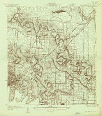
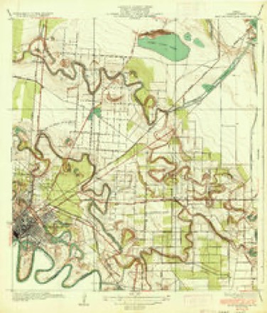
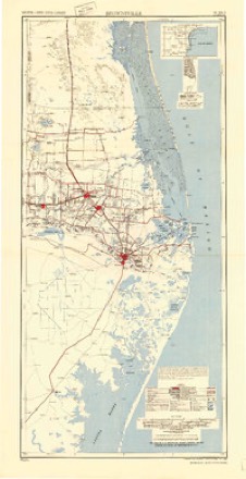
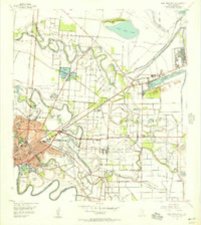
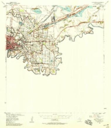
16 topographic sheets cover this place, the earliest surveyed in 1930 and the latest in 1992. It stands in the East Cameron census division. It lies in ZIP code area 78526. The Survey maps it on the East Brownsville quadrangle.
Topographic sheets covering this place
8 surveys from 16 printed sheetsMatched by testing this settlement's coordinate against the published boundary of every sheet in the United States Geological Survey's historical collection. Each opens the scanned sheet at the Survey.
- 1930 USGS East Brownsville quadrangle1:24000
- 1936 USGS East Brownsville quadrangle1:31680, 3 printings
- 1953 USGS Brownsville quadrangle1:250000
- 1955 USGS East Brownsville quadrangle1:24000, 6 printings
- 1955 USGS Fort Brown quadrangle1:62500
- 1956 USGS Brownsville quadrangle1:250000, 2 printings
- 1962 USGS Brownsville quadrangle1:250000
- 1992 USGS Brownsville quadrangle1:100000
Fires near this place
92 since 2002Regional context, not property-specific evidence. The federal wildfire occurrence database lists 92 fires within 5 miles of Port Brownsville between 2002 and 2020, burning about 454 acres in total. None started naturally. 18 were recorded as arson. Distance is straight-line from the map coordinates, so a fire counted here may appear on a neighbouring settlement's page as well.
| Reported cause | Fires |
|---|---|
| Debris and open burning | 35 |
| Missing data/not specified/undetermined | 33 |
| Arson/incendiarism | 18 |
| Equipment and vehicle use | 3 |
| Power generation/transmission/distribution | 2 |
| Smoking | 1 |
The most recent of them, most recent first, with the day each was reported and the service that recorded it.
| Date | Cause | Size | Reported by | Name on the report |
|---|---|---|---|---|
| 25 September 2003 | Debris and open burning | under an acre | South Texas Refuge Complex | ROPE |
| 10 September 2003 | Equipment and vehicle use | under an acre | South Texas Refuge Complex | LEECH |
| 6 August 2004 | Debris and open burning | 1.0 acres | South Texas Refuge Complex | ALFREDO |
| 31 August 2002 | Debris and open burning | 1.0 acres | South Texas Refuge Complex | EARLY 2 |
| 24 August 2002 | Debris and open burning | 1.0 acres | South Texas Refuge Complex | EARLY |
| 14 August 2004 | Missing data/not specified/undetermined | 1.0 acres | Lower Rio Grande Valley National Wildlife Refuge | LOPEZ 2 |
| 11 August 2004 | Arson/incendiarism | under an acre | South Texas Refuge Complex | LOPEZ |
| 5 July 2005 | Debris and open burning | 1.0 acres | South Texas Refuge Complex | CIRCLE K |
Settlements close enough to share some of these fires:
Mines and quarries near this place
5 within 5 milesRegional context, not property-specific evidence. The federal mineral resources record lists 5 workings within 5 miles of Port Brownsville: 4 producers, 1 past producer. 4 still produce. What was taken out: Clay, Chromium, Manganese, Strontium, Fluorine-Fluorite, Barium-Barite. Distance is straight-line from the map coordinates, so a quarry counted here may appear on a neighbouring settlement's page as well.
| Where | Site | Commodity | Status | Recorded |
|---|---|---|---|---|
| Brownsville Mill | Bentonite, Barium-Barite | Producer | ||
| Brownsville Minerals Plant | Barium-Barite | Producer | ||
| C E Minerals Chrome Plant | Chromium, Manganese, Strontium, Fluorine-Fluorite, Barium-Barite | Past Producer | ||
| Centex Cement Corporation Operation | Clay | Producer | ||
| Oglebay Norton Fluorspar Plant | Fluorine-Fluorite | Producer |
Storms near this place
10 since 2009Regional context, not property-specific evidence. The National Weather Service names Port Brownsville in 10 storm reports between 2009 and 2024: 3 flash flood, 2 thunderstorm wind, 2 tornado, 2 flood. No death or injury is recorded in these reports. Each account below is quoted exactly as the forecast office filed it, from the NOAA Storm Events Database, and each date opens the federal record of that event.
| When | Event | Place named | Harm | What the report says |
|---|---|---|---|---|
| October 2021 | Flash Flood | Port Brownsville | $10,000 | Several reports of significant flooding along FM 802/Ruben Torres Blvd in Brownsville. This includes multiple reports of stranded vehicles near the WalMart, as well as between Robindale Blvd and Central Ave. |
| April 2023 | Thunderstorm Wind | Port Brownsville | $5,000 | An NWS Employee reported two power poles blown over along Ruben Torres Blvd, just west of Oscar Dancy, across the street from Bella Vista Apartments. Time estimated by report of power outage by another NWS employee and radar. |
| October 2021 | Flash Flood | Port Brownsville | $5,000 | Picture received from the public of a vehicle partially submerged in flood waters near the intersection of FM 511 and State Hwy 48. |
| May 2009 | Thunderstorm Wind | Port Brownsville | $2,000 | The business manager of a ship breaking and metal processing firm at the Port of Brownsville reported a bolted down radio tower was blown down by microburst winds associated with a severe thunderstorm, which produced golf ball sized hail nearby. |
| September 2024 | Flood | Port Brownsville | - | Roadways were flooded on Ruben M Torres Blvd near N Central Avenue with an estimated 1 to 2 feet of water depth in spots. |
| August 2023 | Tornado (EFU) | Port Brownsville | - | An NWS Employee witnessed a landspout along FM802, or Ruben Torres Blvd, just west of the railroad tracks between N Central Ave and N Minnesota Ave. They initially saw it near the intersection of FM802 and Hudson Blvd, approximately 3 miles away, at 2:35PM CDT with a well-defined landspout reaching halfway up to the underneath of a cumulus cloud. As they got closer, the funnel dissipated slightly, but was able to witness the base of it at a construction site on the north side of FM802. No damage or injuries were observed or reported. |
| October 2021 | Flood | Port Brownsville | - | Many portions of FM 802/Ruben Torres Blvd in Brownsville remained under several feet of water through the morning hours on the 2nd due to overwhelmed drainage systems in the area. It was not until around 9:00-9:30 AM local time on October 2nd that flood waters finally began to recede to the point of roads being traversable by mid-size cars. Other high water of 2 to 3 feet along the sides of roads in a subdivision along Dana Avenue north of Ruben Torres Blvd. continued through the afternoon of October 2nd. Damage to vehicles and property was not known as of this writing. |
| October 2021 | Flash Flood | Port Brownsville | - | Flooding along Ruben Torres Blvd. during the peak of the evening commute, and the result of an estimated 3 to 4 inches of rain per hour for two hours, stranded dozens of vehicles under up to 3 feet of water. A report of 4+ feet of water was obtained from a worker at the Circle K gas/convenience store at the intersection of Ruben Torres and N. Central Avenue during the peak of the flood shortly after 9 PM on the 1st. Other structures had some flooding, including homes just south and north of Ruben Torres. Damage values were unknown as of this writing. |
| July 2017 | Tornado (EF0) | Port Brownsville | - | Landspout reported on Highway 48 near Keppel Amfels, lasting 1 minute. No damage reported. |
| May 2009 | Hail | Port Brownsville | - | The manager of the Port of Brownsville reported golf ball size hail on the grounds as a severe thunderstorm moved slowly through. |
Nearest settlements
The eight closest, with where each one stands in the county. Distances are straight-line, computed from the Geographic Names Information System coordinates.
| Map | Place | Distance | Sheets |
|---|---|---|---|
| Barrios Colonia | 0.2 miles | 16 | |
| FM 802-511 Colonia | 0.5 miles | 16 | |
| Illinois Heights Colonia | 0.8 miles | 16 | |
| Travis Road Colonia | 1.1 miles | 16 | |
| Travis and Vermillion Colonia | 1.2 miles | 16 | |
| Houston Road East Colonia | 1.7 miles | 16 | |
| Bautista Colonia | 1.8 miles | 16 | |
| Boca Chica and Medford Colonia | 1.8 miles | 16 |
Elsewhere
Matched on this settlement's Geographic Names Information System number rather than its name, so it cannot be a different place of the same name in another state.
| Wikidata item Q122542797 | The structured record the population and elevation above come from. Public domain (CC0). |
Provenance
This settlement is recorded in the Geographic Names Information System as feature 1381140. The sheet list is computed by point-in-boundary test against the United States Geological Survey's historical topographic inventory. Both are works of the United States government and carry no copyright under 17 U.S.C. 105.
Wildfire. Short, Karen C. 2022. Spatial wildfire occurrence data for the United States, 1992-2020 [FPA_FOD_20221014]. 6th Edition. Fort Collins, CO: Forest Service Research Data Archive. https://doi.org/10.2737/RDS-2013-0009.6 Collected with United States Government funding and usable without additional permissions or fees.
Mines and quarries. USGS Mineral Resources Data System (MRDS) https://mrdata.usgs.gov/mrds/ A work of the United States government, no copyright under 17 U.S.C. 105.
Storms. NOAA National Centers for Environmental Information, Storm Events Database https://www.ncei.noaa.gov/stormevents/ A work of the United States government, no copyright under 17 U.S.C. 105. Narratives are quoted verbatim from the National Weather Service report and are not edited or summarised.